Espacio Natural De Los Ancares Leoneses Y Alto Sil
Espacio Natural De Los Ancares Leoneses Y Alto Sil
Attractions and Places To See in Espacio Natural De Los Ancares Leoneses Y Alto Sil - Top 20
Best attractions and places to see in Espacio Natural De Los Ancares Leoneses Y Alto Sil is a UNESCO Biosphere Reserve characterized by its mountainous terrain, deep valleys, and extensive forests. This region, shared between León and Lugo, offers a blend of natural beauty and rich cultural heritage. Visitors can explore well-preserved traditional architecture, including unique pallozas, alongside significant natural features. The area provides diverse opportunities for outdoor activities and historical discovery.
Best attractions and places to see in Espacio Natural De Los Ancares Leoneses Y Alto Sil
- The most popular attractions is Pico Cornón, a summit that stands at 2,182 meters above sea level. It is one of the highest peaks in the Sierra de Gistredo and offers panoramic views from its summit.
- Another must-see spot is Pico dos Tres Bispos, a summit at 1,794 meters altitude. Visitors can expect views over the Serra dos Ancares from this point where Galicia meets Castilla and León.
- Visitors also love Ponferrada–Villablino Railway Greenway, an old railway line converted into a cycle way. This path offers a section along the Sil River and includes a picnic area.
- Espacio Natural De Los Ancares Leoneses Y Alto Sil is known for its mountain peaks, deep valleys, and historical sites. The region offers a variety of attractions, from natural monuments and forests to traditional villages and archaeological remains.
- The attractions in Espacio Natural De Los Ancares Leoneses Y Alto Sil are appreciated by the komoot community, with 13 upvotes and 32 photos shared by visitors.
Last updated: July 5, 2026
Pico Cornón
Highlight • Summit
Translated by Google •
Tip by

Pico dos Tres Bispos
Highlight • Summit
Translated by Google •
Tip by

Sign up now to discover places like this
Get recommendations on the best single tracks, peaks, & plenty of other exciting outdoor places.
Sign up for free
Ponferrada–Villablino Railway Greenway
Highlight (Segment) • Cycleway
Translated by Google •
Tip by

Pico Nevadín Summit (2,077 m)
Highlight • Summit
Translated by Google •
Tip by
Castro de Chano
Highlight • Historical Site
Translated by Google •
Tip by

Sign up for free to discover even more attractions in Espacio Natural De Los Ancares Leoneses Y Alto Sil.
Sign up for free
Already have an account?
Start today with a free account
Your next adventure awaits.
Login or Signup
Popular around Espacio Natural De Los Ancares Leoneses Y Alto Sil
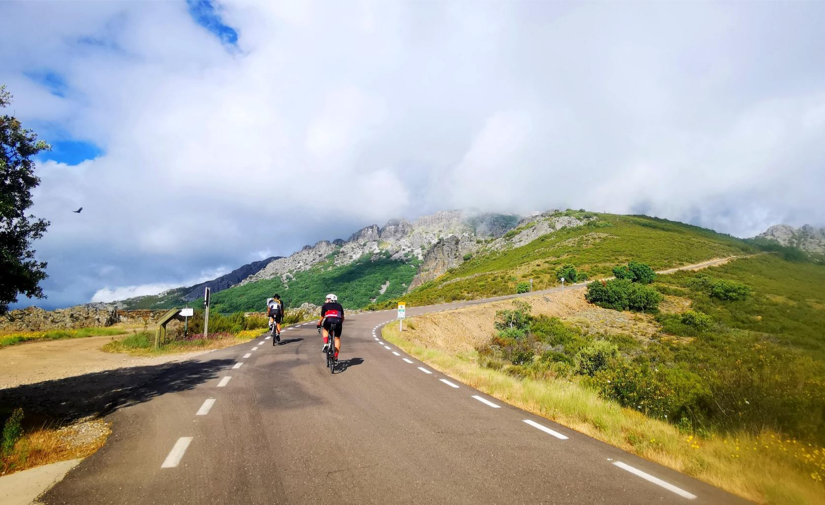
Legendary climbs - Ports of La Vuelta a España

TransCantabrica – Extreme mountain biking in northern Spain
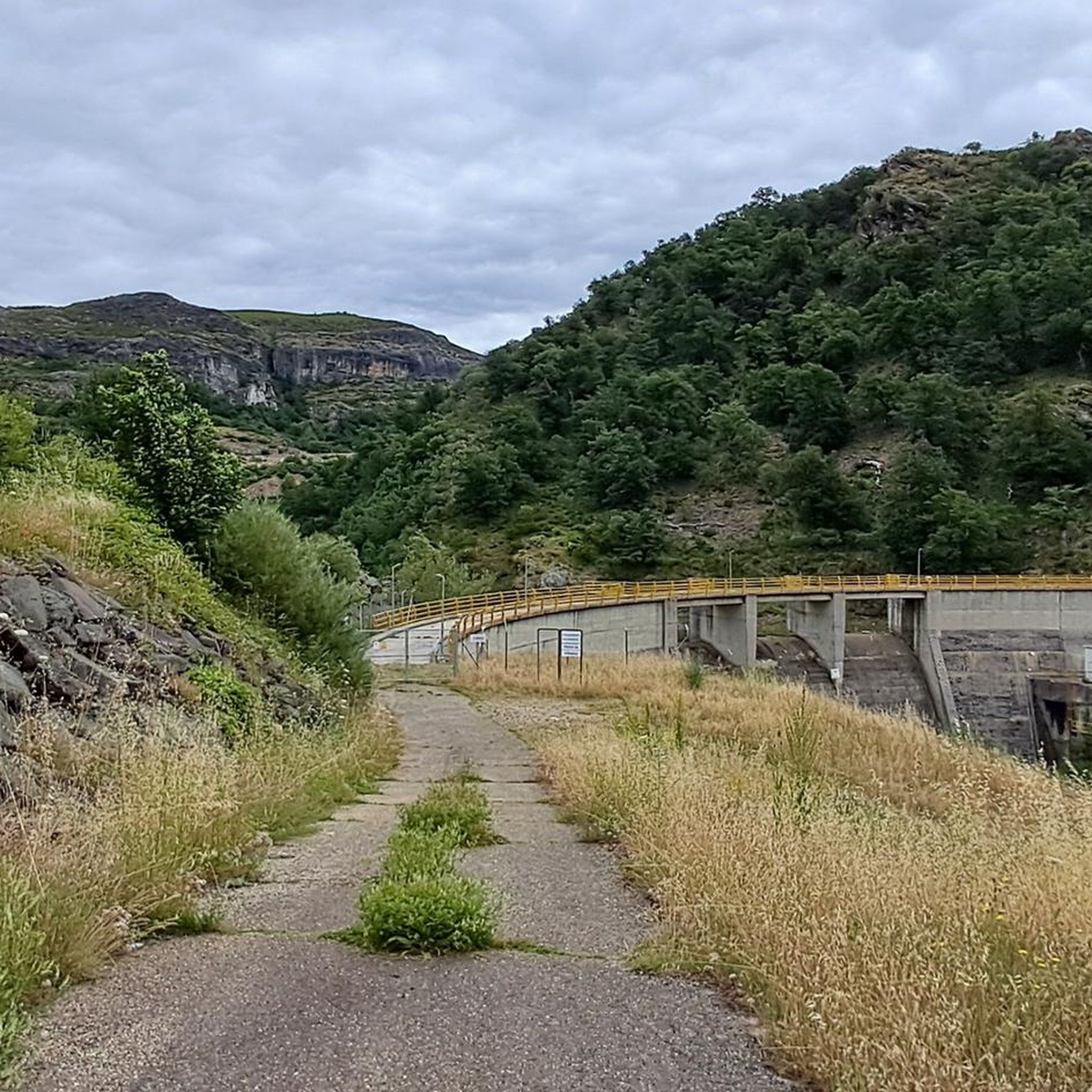
Hiking in Espacio Natural De Los Ancares Leoneses Y Alto Sil
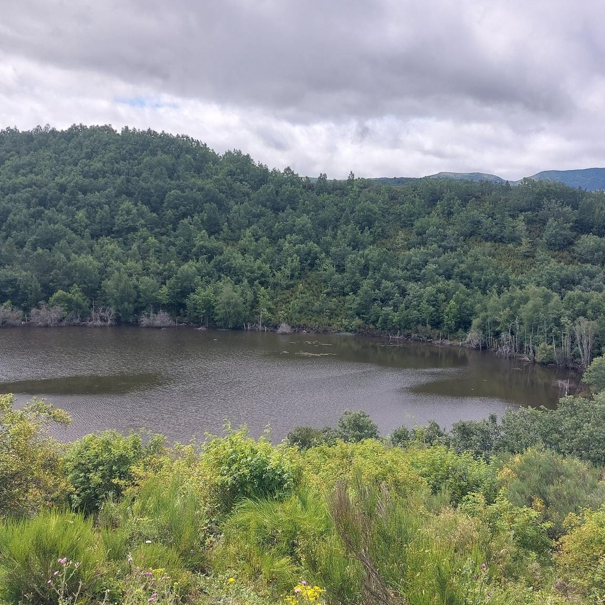
Road Cycling Routes in Espacio Natural De Los Ancares Leoneses Y Alto Sil
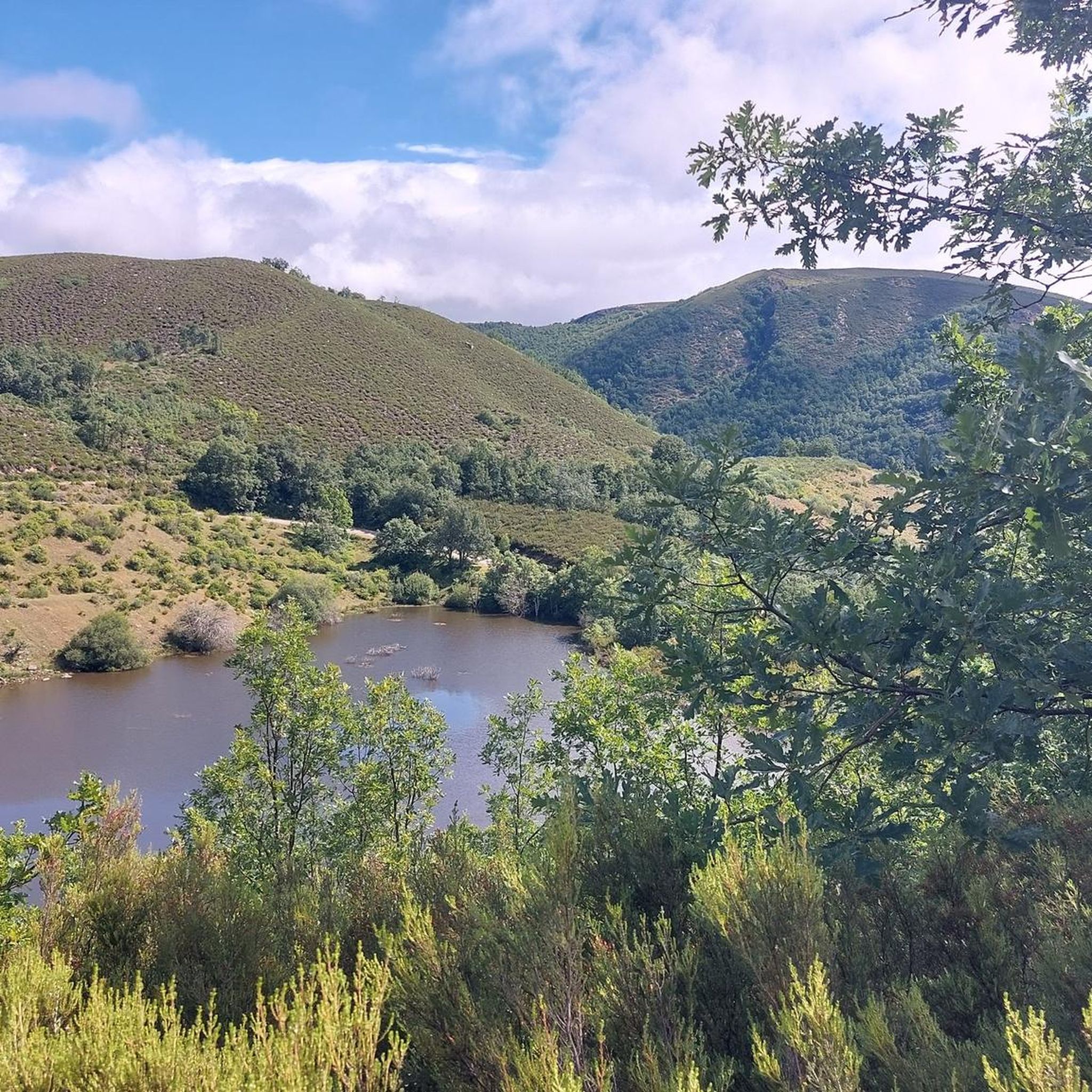
MTB Trails in Espacio Natural De Los Ancares Leoneses Y Alto Sil
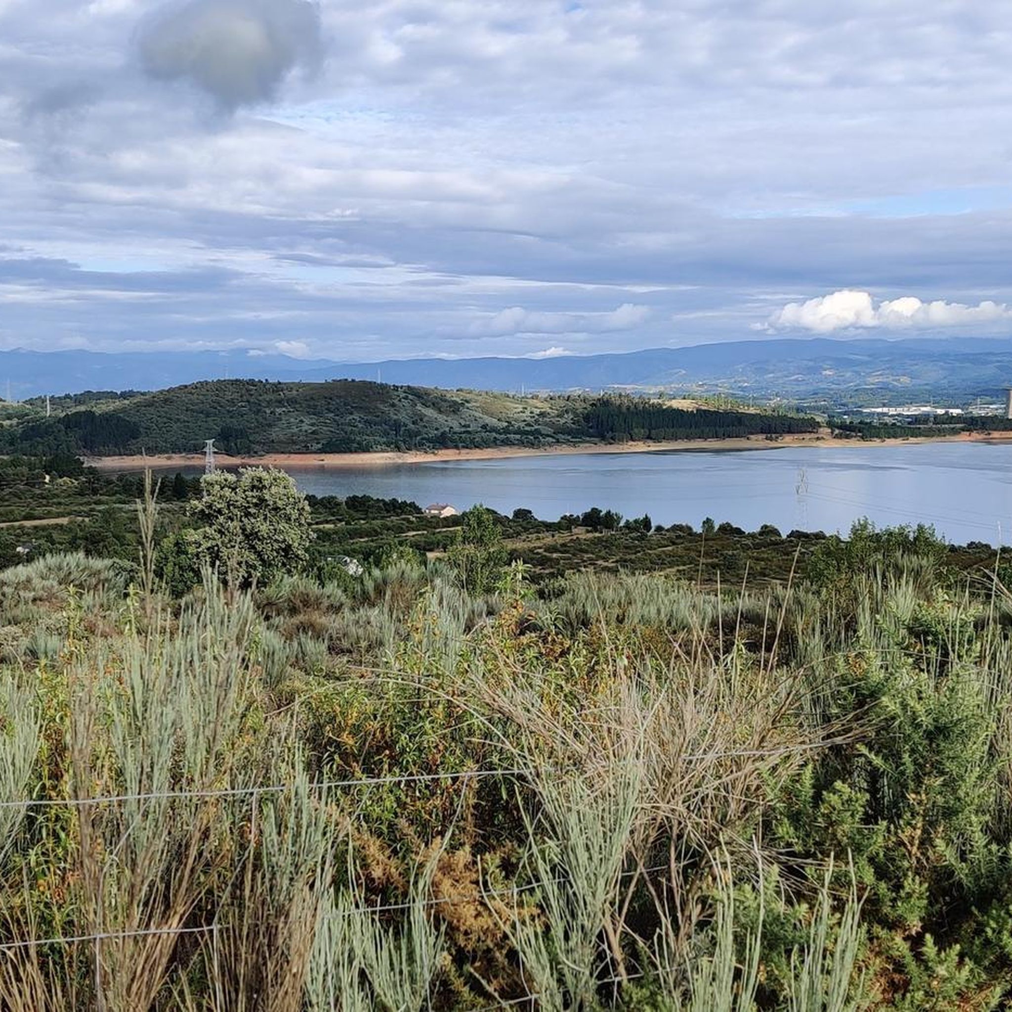
Running Trails in Espacio Natural De Los Ancares Leoneses Y Alto Sil
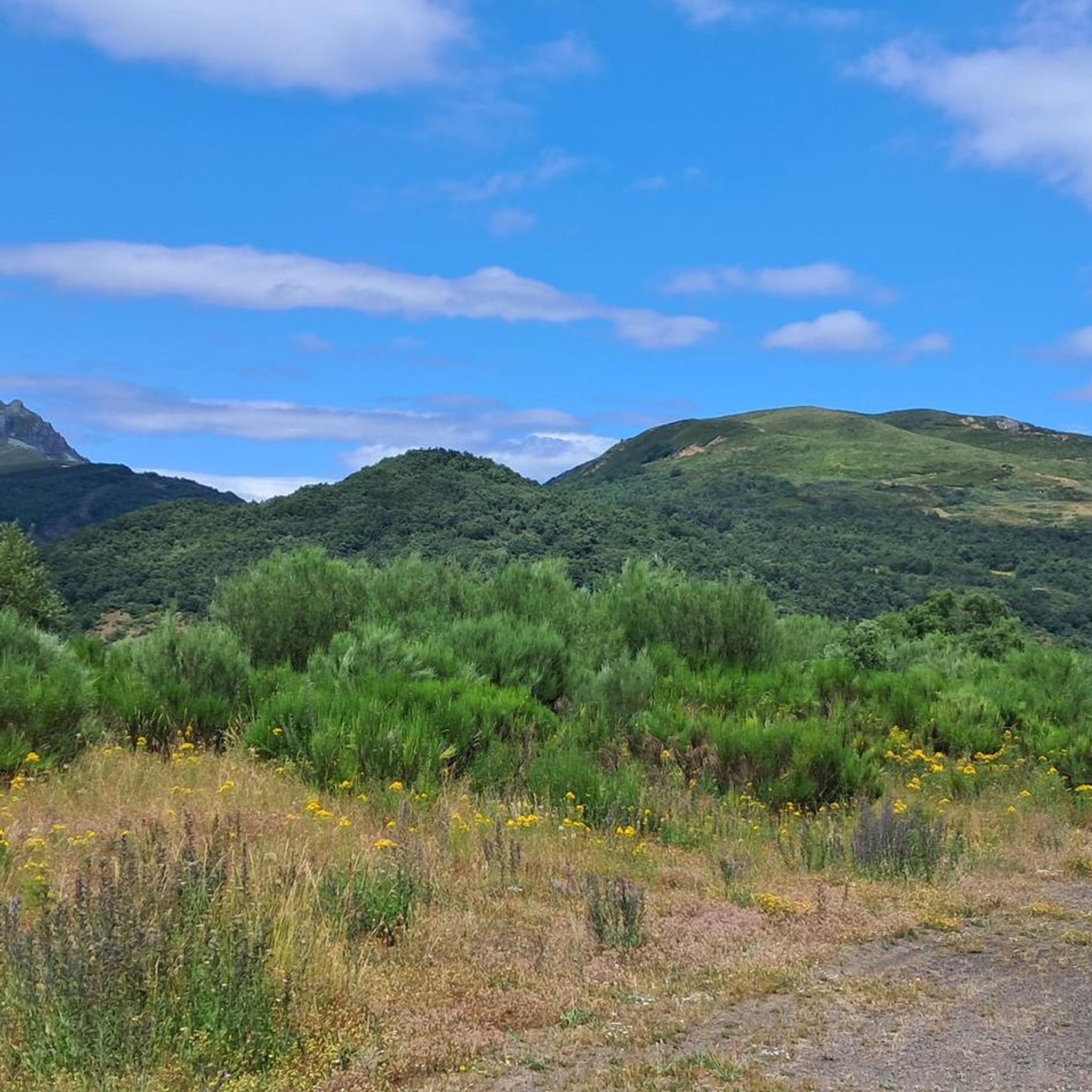
Cycling in Espacio Natural De Los Ancares Leoneses Y Alto Sil
Other adventures in Espacio Natural De Los Ancares Leoneses Y Alto Sil


Tips from the Community

Nice path to enjoy on the banks of the Sil River.
1
0

Beautiful 360 degree views that we find in the Pico Nevadín, located at 2,077 meters above sea level. On clear days we will have a privileged view of the Catoute and Cernella range, as well as other peaks to the south such as Valdeiglesias and Tambarón.
4
0

Pico Cornón has an altitude of 2,182 meters above sea level and is one of the highest peaks in the Sierra de Gistredo. It is well known for its natural beauty and for being a popular destination among mountaineers and hikers. In addition, the area is home to a wide variety of fauna and flora. The most common ascent route to Pico Cornón is from the town of Candín, in the El Bierzo region. Upon reaching the top, you can enjoy a breathtaking view of the surroundings and take unforgettable pictures.
3
0
Old railway line that currently offers us a beautiful section between Villablino and Villaseca de Laciana. A popular area for lovers of outdoor sports where we will find a picnic area in case we want to take a break in the shade of the trees.
2
0

The castros were Asturian settlements that were characterized by being located in dominant positions and sometimes also protected by moats or other defenses. The Castro de Chano is an exceptional example due to its state of conservation, next to which an excellent interpretation center has been built that helps to understand the lifestyle in these places. In winter, the center must be visited by appointment, by calling 987565082. In summer it only opens a couple of hours in the morning and another couple in the afternoon, so it is also a good idea to plan your visit. This castro also has the peculiarity that coins were found in the houses, which could indicate that it was abandoned quickly, but it is not known for what reason, since it does not have any signs of violence.
0
0

At an altitude of 1,794 meters, at the point where Galicia delimits Castilla and León, the top of Pico dos Tres Bispos offers beautiful views over the Serra dos Ancares.
4
1
Frequently Asked Questions
What are some notable mountain peaks to explore in Espacio Natural De Los Ancares Leoneses Y Alto Sil?
The region boasts 316 named mountains. Among the most prominent are Pico Cornón, standing at 2,182 meters in the Sierra de Gistredo, offering breathtaking panoramic views. Another significant peak is Pico dos Tres Bispos, at 1,794 meters, where Galicia meets Castilla and León. You can also find Pico Nevadín Summit (2,077 m), which provides 360-degree views of the surrounding ranges.
Where can I see traditional pallozas in Espacio Natural De Los Ancares Leoneses Y Alto Sil?
You can find these unique pre-Roman dwellings, characterized by circular stone walls and conical thatched roofs, in villages such as Balouta, Piornedo, Campo del Agua, and Pereda de Ancares. Piornedo is particularly notable, offering museum pallozas and an interactive route with audio-guides to delve into their history and local culture.
Are there any scenic cycling routes in Espacio Natural De Los Ancares Leoneses Y Alto Sil?
Yes, the Ponferrada–Villablino Railway Greenway is a popular option. This old railway line has been converted into a cycle path, offering a beautiful section along the Sil River and including a picnic area for breaks.
What kind of hiking trails can I find in Espacio Natural De Los Ancares Leoneses Y Alto Sil?
The region offers a variety of hiking trails, ranging from moderate to difficult. You can explore routes like the Lumajo Waterfall Circular, or more challenging ascents such as El Miro de Rabon and Pico Nevadin. For a comprehensive overview of hiking options, visit our guide to Hiking in Espacio Natural De Los Ancares Leoneses Y Alto Sil.
Are there any significant historical or archaeological sites to visit?
Absolutely. The region is rich in history. You can visit the Monasterio de San Andrés in Vega de Espinareda, a Benedictine monastery dating back to the 9th or 10th century. Another notable site is the Castro de Chano, an exceptionally well-preserved Iron Age hill fort settlement with an interpretation center. Other sites include the Peña Piñera archaeological site with Bronze Age rock paintings and the La Leitosa Roman gold mine.
Are there any waterfall hikes in the area?
Yes, the region features several beautiful waterfalls. Popular options include the Lumajo Waterfall Circular and the Cantejeira Waterfall Trail. You can find more details and routes in our guide to Waterfall hikes in Espacio Natural De Los Ancares Leoneses Y Alto Sil.
What natural features define the landscape of Espacio Natural De Los Ancares Leoneses Y Alto Sil?
The landscape is characterized by its mountainous terrain, deep valleys sculpted by glacial and fluvial processes, and extensive forests. You'll find centenarian oak, walnut, and chestnut forests, as well as heathlands. The region also features cirques, glacial lakes, and numerous rivers like the Burbia, Ancares, and Cúa.
Are there family-friendly attractions or activities in Espacio Natural De Los Ancares Leoneses Y Alto Sil?
Yes, families can enjoy the Ponferrada–Villablino Railway Greenway for easy cycling. Exploring the traditional pallozas in villages like Piornedo, which offers museum pallozas, can also be an engaging cultural experience for all ages. Additionally, there are easy hiking trails suitable for families, such as the Cantejeira Waterfall Trail.
What is the best time of year to visit Espacio Natural De Los Ancares Leoneses Y Alto Sil for outdoor activities?
The best time to visit largely depends on your preferred activities. Spring and autumn offer pleasant temperatures for hiking and cycling, with vibrant foliage in autumn. Summer is ideal for enjoying the mountains and valleys, though it can be busier. Winter provides opportunities for snow activities, but some routes may be inaccessible due to snow.
What is the Monasterio de San Andrés and where is it located?
The Monasterio de San Andrés is a historic Benedictine monastery located in Vega de Espinareda. Dating back to the 9th or 10th century, it was a significant cultural center. The current edifice is largely 18th-century neoclassical. Vega de Espinareda is considered the 'door of the Ancares,' making it a strategic starting point for exploring various valleys.
Can I find running trails in Espacio Natural De Los Ancares Leoneses Y Alto Sil?
Yes, the region offers various running trails for different fitness levels. You can find routes like El Miro de Rabón y Pico Nevadín from Rabanal de Arriba, or the Brañas de la Seita, Zaramedo, and Degollada Loop from Palacios del Sil. For more options, check out our guide to Running Trails in Espacio Natural De Los Ancares Leoneses Y Alto Sil.
What is the significance of the Camino de Santiago in this region?
The Ancares Mountains of León form an important section of the French Way of the Camino de Santiago. This historic pilgrimage route passes through the area, adding a layer of cultural and spiritual significance for those traversing the ancient path.
Most popular routes in Espacio Natural De Los Ancares Leoneses Y Alto Sil
Most popular attractions in Espacio Natural De Los Ancares Leoneses Y Alto Sil

Get inspired with the komoot mobile app


Explore more
Still not found the Highlight you’re looking for? See guides of the top attractions in other regions:
