Espacio Natural De Los Ancares Leoneses Y Alto Sil
Espacio Natural De Los Ancares Leoneses Y Alto Sil
The best cycling routes in Espacio Natural De Los Ancares Leoneses Y Alto Sil
4.0
(72)
1,253
riders
19
rides
Touring cycling routes in Espacio Natural De Los Ancares Leoneses Y Alto Sil traverse a diverse landscape characterized by deep valleys, glacial cirques, and expansive heathlands. The region features dense forests of chestnut, oak, and holly, alongside mountainous terrain with high mountain passes. Rivers such as the Cúa, Ancares, and Burbia have sculpted the terrain, creating varied and challenging routes for touring cyclists. This Biosphere Reserve, located at the western end of the Cantabrian Mountains, offers a blend of rugged…
Last updated: July 1, 2026
28
riders
48.0km
03:19
890m
890m
Hard bike ride. Very good fitness required. Mostly paved surfaces. Suitable for all skill levels.
22
riders
53.6km
03:34
810m
810m
Hard bike ride. Very good fitness required. Mostly paved surfaces. Suitable for all skill levels.

Sign up for free
14
riders
25.9km
02:20
250m
250m
Moderate bike ride. Good fitness required. Mostly paved surfaces. Suitable for all skill levels.
14
riders
29.0km
02:40
280m
280m
Moderate bike ride. Good fitness required. Mostly paved surfaces. Suitable for all skill levels.
16
riders
50.6km
04:43
1,020m
1,030m
Hard bike ride. Very good fitness required. Mostly paved surfaces. Suitable for all skill levels.
Get access to more routes and recommendations from other explorers.
Sign up for free
Already have an account?
Our route recommendations are based on thousands of hikes, rides, and runs completed by other people on komoot.
Start today with a free account
Your next adventure awaits.
Login or Signup
Popular around Espacio Natural De Los Ancares Leoneses Y Alto Sil
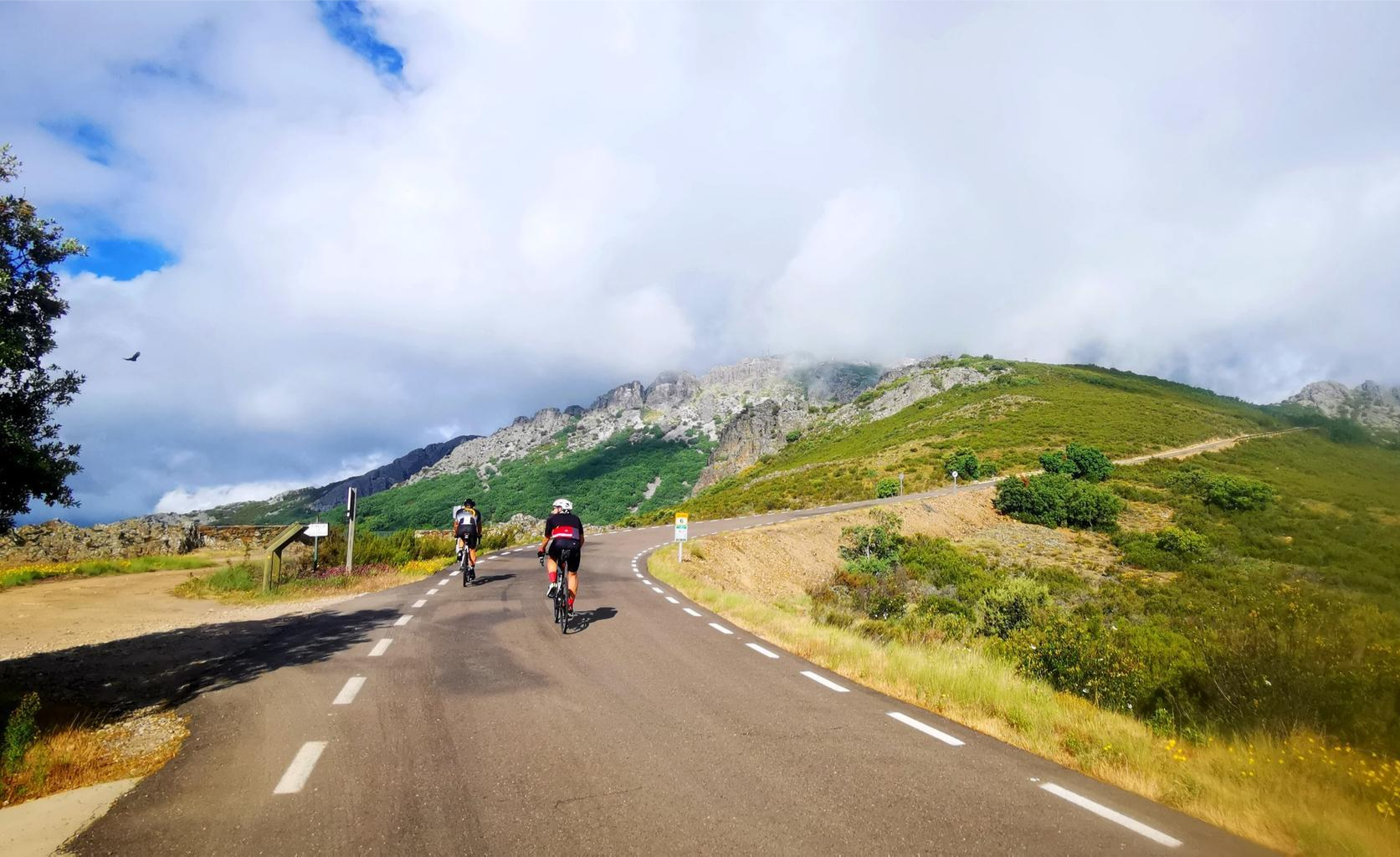
Legendary climbs - Ports of La Vuelta a España

TransCantabrica – Extreme mountain biking in northern Spain
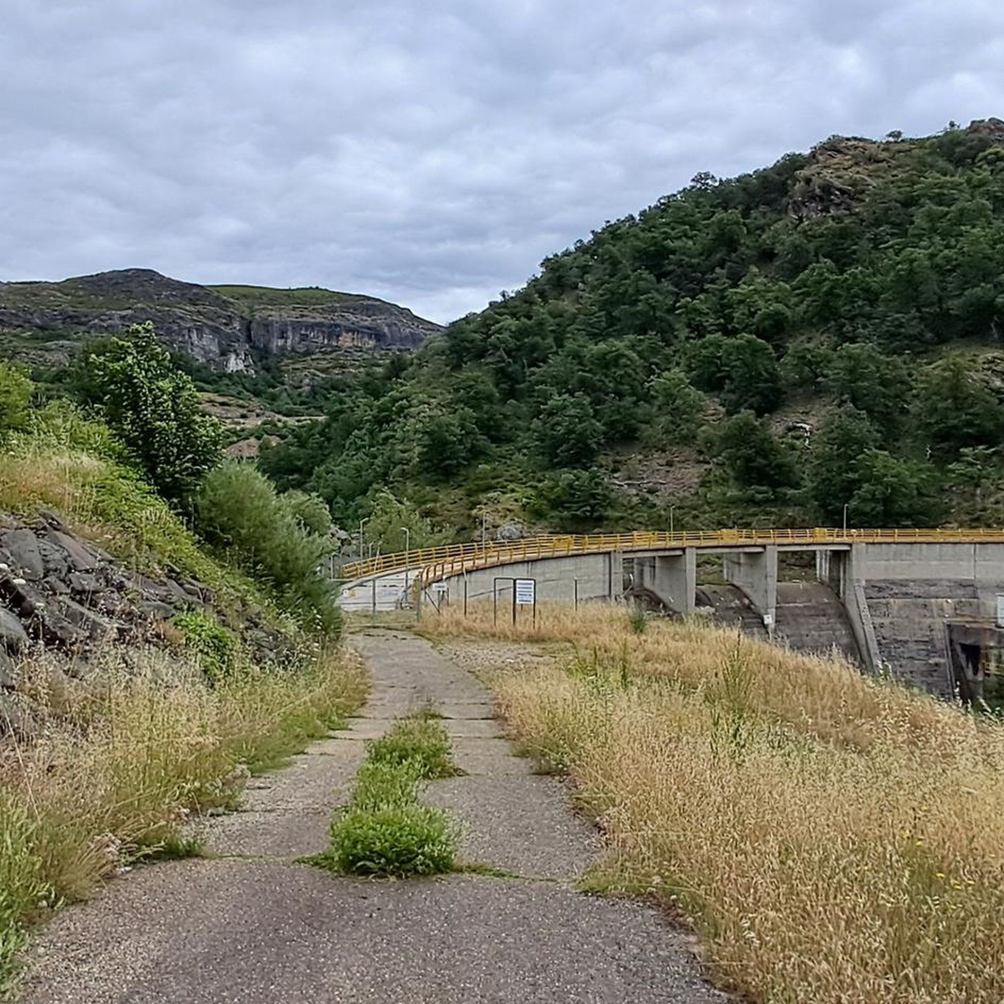
Hiking in Espacio Natural De Los Ancares Leoneses Y Alto Sil
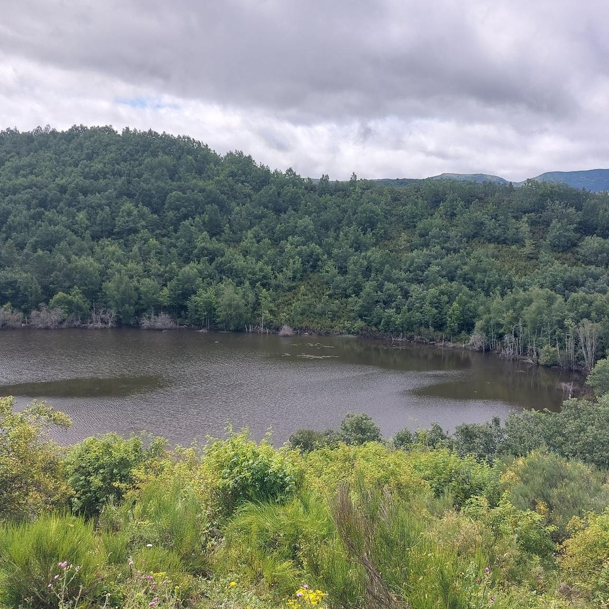
Road Cycling Routes in Espacio Natural De Los Ancares Leoneses Y Alto Sil
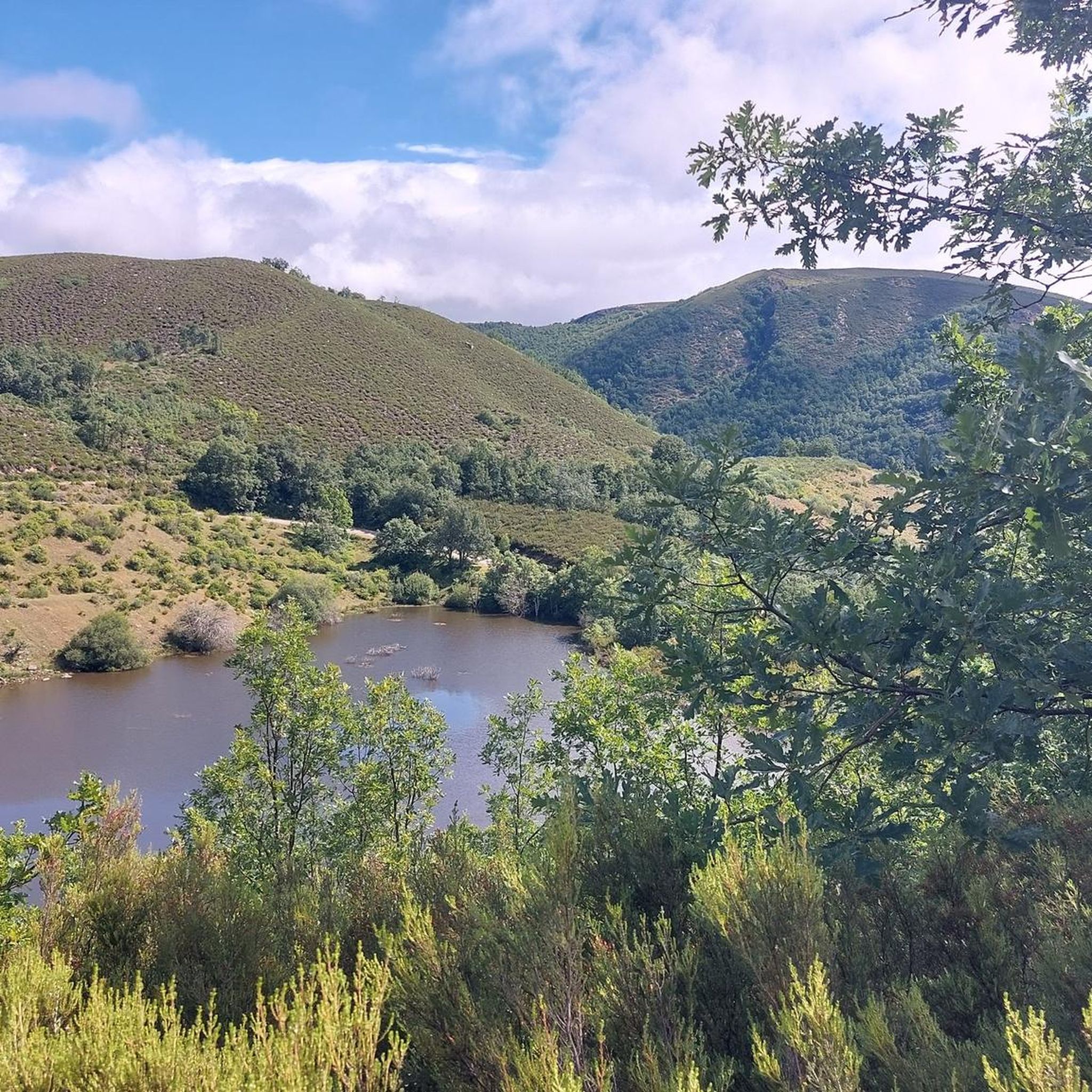
MTB Trails in Espacio Natural De Los Ancares Leoneses Y Alto Sil
Running Trails in Espacio Natural De Los Ancares Leoneses Y Alto Sil
Other adventures in Espacio Natural De Los Ancares Leoneses Y Alto Sil


Tips from the Community

Pereda de Ancares is a small, picturesque village in León, surrounded by mountains that preserve the rural essence of the area. It is characterized by its stone and slate houses, along with traditional granaries.
1
0

Natural path from Villablino to Villaseca, very beautiful, on the banks of the Sil River, you can go with your family perfectly, I do not recommend a road bike.
0
0
Nice path to enjoy on the banks of the Sil River.
1
0

Caboalles de Abajo is a small and beautiful mountain town between Caboalles de Arriba and Villablino. There is a beautiful greenway that connects the three towns called the Laciana Greenway.
1
0

The small town of Vega de Espinareda is nestled in the foothills of the Sierra de Ancares, north of El Bierzo. Surrounded by this incredible natural setting that was declared a Biosphere Reserve in 2006. The most outstanding monuments of the town are the old Roman bridge over the Cúe river and the San Andrés Monastery.
1
0
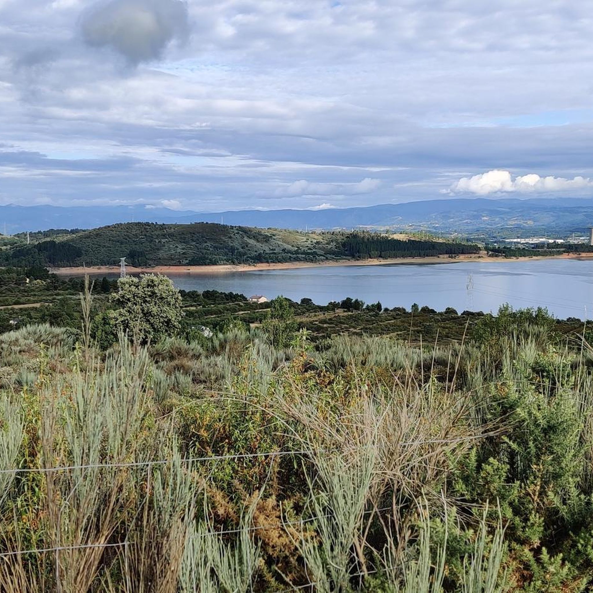
Surrounded by mountains, the Las Razas Reservoir is a small hydroelectric reservoir dam near Villablino that uses the waters of the Sil River to produce electricity.
1
0
Villablino is a coal mining and industrial city surrounded by a landscape of mountains and valleys in the northwest of the province of León.
1
0

Old railway line that currently offers us a beautiful section between Villablino and Villaseca de Laciana. A popular area for lovers of outdoor sports where we will find a picnic area in case we want to take a break in the shade of the trees.
2
0
Frequently Asked Questions
What is the general difficulty level of touring cycling routes in Espacio Natural De Los Ancares Leoneses Y Alto Sil?
The touring cycling routes in Espacio Natural De Los Ancares Leoneses Y Alto Sil primarily cater to experienced cyclists, with 13 out of 17 routes rated as difficult. There are also 3 moderate routes and 1 easy route available. The region is characterized by its mountainous terrain, deep valleys, and high mountain passes, offering challenging ascents and descents.
Are there any circular touring cycling routes in Espacio Natural De Los Ancares Leoneses Y Alto Sil?
Yes, many touring cycling routes in the region are circular, allowing you to start and end at the same point. Examples include the Pereda de Ancares loop from Ermida da Madalena, a challenging 47.8 km ride, and the Caboalles de Abajo loop from Café La Terraza, a moderate 26.2 km trail through valleys.
What kind of landscapes can I expect to see while touring cycling in Espacio Natural De Los Ancares Leoneses Y Alto Sil?
You can expect a diverse and striking landscape. Routes often traverse deep valleys, glacial cirques, and expansive heathlands. You'll cycle through dense forests of chestnut, oak, and holly, and encounter mountainous terrain with high mountain passes. Rivers like the Cúa, Ancares, and Burbia have sculpted the terrain, creating lush, green valleys, and some routes offer views of glacial lakes.
Are there any routes that feature lakes or reservoirs?
Yes, the region's glacial past means there are routes with scenic views of lakes and reservoirs. For example, the difficult Las Rozas Reservoir – Matalavilla Lake loop from Villablino offers views of these water bodies amidst rugged landscapes.
What natural attractions or landmarks can I see along the touring cycling routes?
The region is rich in natural beauty. You can encounter impressive peaks such as Pico Cornón and Pico dos Tres Bispos. For a unique natural feature, consider visiting the Entrance to Lumajo Waterfall. Mountain passes like Puerto de Ancares also offer breathtaking vistas.
Are there any cultural or historical sites to explore in the region while cycling?
Beyond the natural splendor, the area boasts a rich cultural heritage. You can explore traditional villages with unique architecture, such as "pallozas" (circular stone dwellings with thatched roofs), which reflect an ancestral way of life. Balouta is particularly noted for preserving a significant number of these structures. The region is also a stop on the historic Camino de Santiago.
What kind of wildlife might I encounter while touring cycling in Espacio Natural De Los Ancares Leoneses Y Alto Sil?
Espacio Natural De Los Ancares Leoneses Y Alto Sil is a UNESCO Biosphere Reserve and a haven for wildlife. You might spot endangered species like the brown bear and capercaillie, as well as a variety of birds of prey, chamois, roe deer, and mountain goats. The extensive chestnut groves provide a vital habitat for many species.
Are there any touring cycling routes suitable for beginners or families?
While most routes are rated moderate to difficult, there is one easy touring cycling route available in the region. For families or beginners, it's advisable to choose routes with lower elevation gain and shorter distances, or consider the designated "sendas a pie y a bici" (paths for walking and cycling) which often have varying difficulty levels.
What is the best time of year for touring cycling in Espacio Natural De Los Ancares Leoneses Y Alto Sil?
Given the mountainous terrain and potential for snow in higher elevations, the best time for touring cycling is generally from late spring through early autumn (May to October). During these months, the weather is typically milder, and mountain passes are more likely to be clear of snow, offering more accessible and enjoyable cycling conditions.
How many touring cycling routes are available in Espacio Natural De Los Ancares Leoneses Y Alto Sil?
There are 17 touring cycling routes available in Espacio Natural De Los Ancares Leoneses Y Alto Sil, offering a range of experiences from moderate to difficult. These routes allow you to explore the region's diverse landscapes, from deep valleys to high mountain passes.
What is a good challenging touring cycling route for experienced riders?
For experienced riders seeking a challenge, the Laciana Dirt Trail – View of Villablino loop from Villablino is a difficult 50.6 km route with significant elevation gain, offering a rewarding experience through the region's rugged terrain.
Are there any touring cycling routes that pass through traditional villages?
Many routes in Espacio Natural De Los Ancares Leoneses Y Alto Sil will take you through or near traditional villages, allowing you to experience the local culture and unique architecture like the "pallozas." While specific routes aren't highlighted for this, exploring the area by bike naturally leads you through these charming hamlets.
Most popular routes in Espacio Natural De Los Ancares Leoneses Y Alto Sil
Most popular attractions in Espacio Natural De Los Ancares Leoneses Y Alto Sil

Get inspired with the komoot mobile app


Explore more
Browse the best Cycling routes in other regions.
