Espacio Natural De Los Ancares Leoneses Y Alto Sil
Espacio Natural De Los Ancares Leoneses Y Alto Sil
The best road cycling routes in Espacio Natural De Los Ancares Leoneses Y Alto Sil
4.5
(22)
1,345
riders
25
rides
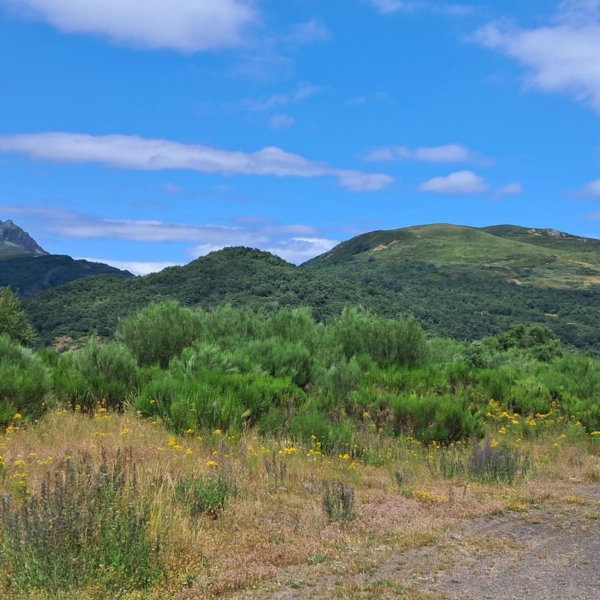
Road cycling routes in Espacio Natural De Los Ancares Leoneses Y Alto Sil navigate a landscape characterized by deep valleys, cirques, and numerous mountain peaks. The region features challenging passes and varied ecosystems, including extensive heathlands and dense forests of chestnut, oak, and holly. This terrain provides a range of demanding climbs and descents, appealing to road cyclists seeking high-mountain routes. The geomorphological heritage contributes to the diverse and engaging routes available.
Best road cycling routes in Espacio Natural De…
Last updated: July 7, 2026
164km
07:48
2,290m
2,290m
Hard road ride. Very good fitness required. Mostly well-paved surfaces and easy to ride.
50
riders
70.5km
03:47
1,270m
1,270m
Hard road ride. Very good fitness required. Mostly well-paved surfaces and easy to ride.

Sign up for free
31
riders
67.6km
03:05
730m
730m
Moderate road ride. Good fitness required. Mostly well-paved surfaces and easy to ride.
24
riders
84.6km
04:43
1,780m
1,780m
Hard road ride. Very good fitness required. Mostly well-paved surfaces and easy to ride.
21
riders
44.8km
02:23
780m
780m
Moderate road ride. Good fitness required. Mostly well-paved surfaces and easy to ride.
Get access to more routes and recommendations from other explorers.
Sign up for free
Already have an account?
Our route recommendations are based on thousands of hikes, rides, and runs completed by other people on komoot.
Start today with a free account
Your next adventure awaits.
Login or Signup
Popular around Espacio Natural De Los Ancares Leoneses Y Alto Sil
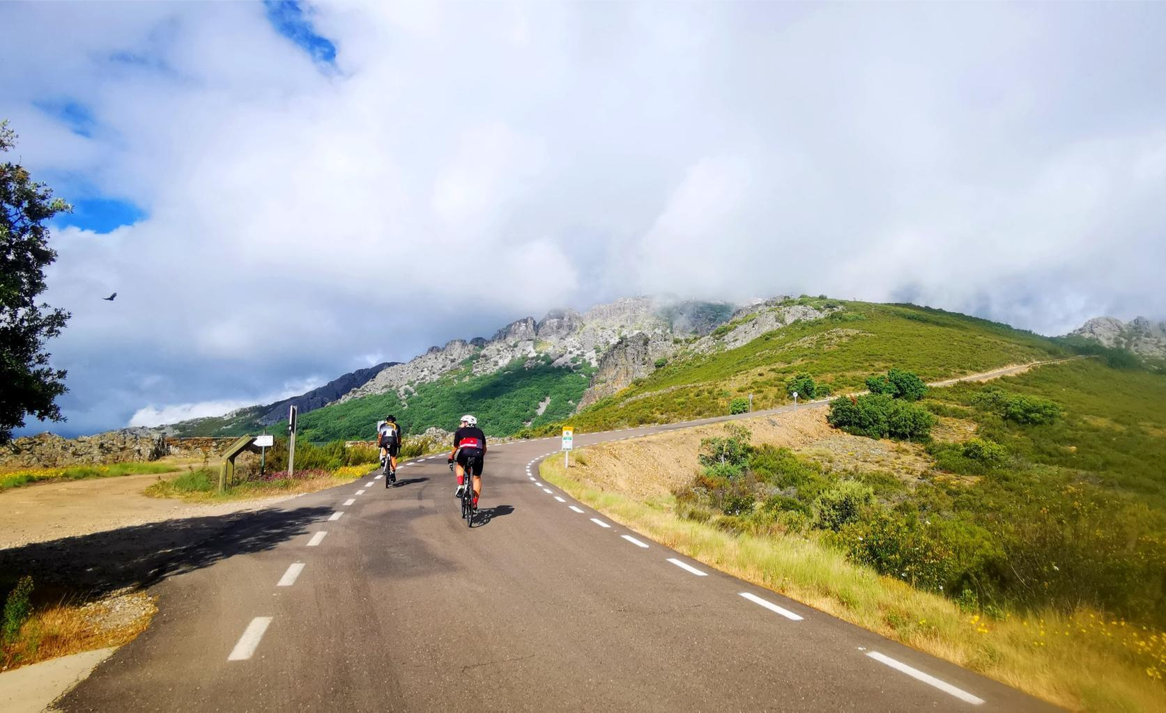
Legendary climbs - Ports of La Vuelta a España

TransCantabrica – Extreme mountain biking in northern Spain
Hiking in Espacio Natural De Los Ancares Leoneses Y Alto Sil
MTB Trails in Espacio Natural De Los Ancares Leoneses Y Alto Sil
Running Trails in Espacio Natural De Los Ancares Leoneses Y Alto Sil
Cycling in Espacio Natural De Los Ancares Leoneses Y Alto Sil
Other adventures in Espacio Natural De Los Ancares Leoneses Y Alto Sil


Tips from the Community

The restaurant and the whole area are a spectacle.
0
0
Those who suffer from vertigo should refrain from passing through it.
0
0

The Leitariegos Pass is a mountain pass located at an altitude of 1,520 meters in a beautiful natural setting. It's an ideal stopover point on the trails and has a bar and restaurant.
0
1

When visiting the town of Cangas del Narcea, it's worth visiting the suspension bridge next to the Basilica of Mary Magdalene. As you cross the bridge on this side, look to the left to admire the views of the Roman bridge and the Ambasaguas neighborhood with its Church of the Virgin of Carmen.
0
0
It's a really special place
0
0
An exceptional restaurant and bar where you can take advantage of a stop (whether it's hot or cold, rain or fog) and enjoy the delicacies of gourmet Asturian cuisine.
0
0
It is one of the best views you can have of the highest peak in the southwest, with its 2,002 meters of altitude. The views of the Cueto de Arbás and the Naviego valley are simply spectacular, one of the most iconic images of my life. So, if you decide to climb the Leitariegos pass, do not hesitate to stop here and enjoy this gem.
0
0
An ideal place to cool off, drink delicious water, and protect yourself from the sun on the hottest summer days.
0
0
Frequently Asked Questions
How many road cycling routes are available in Espacio Natural De Los Ancares Leoneses Y Alto Sil?
There are over 25 dedicated road cycling routes in Espacio Natural De Los Ancares Leoneses Y Alto Sil. These routes cater to various skill levels, with 11 classified as moderate and 15 as difficult, offering a range of experiences from scenic rides to challenging climbs.
What kind of terrain can I expect on road cycling routes in Espacio Natural De Los Ancares Leoneses Y Alto Sil?
The region is characterized by diverse and challenging terrain, featuring deep valleys, cirques, and numerous mountain peaks. You can expect significant elevation changes, with routes navigating through extensive heathlands and dense forests of chestnut, oak, and holly. Passes like the Ancares Pass are renowned for their difficulty and spectacular views, with gradients reaching up to 19% in some sections.
Are there any particularly challenging climbs for experienced road cyclists?
Yes, Espacio Natural De Los Ancares Leoneses Y Alto Sil is known for its demanding climbs. The ascent over the Montes de León, including Alto del Morredero and Alto de los Portillinas, offers long and hard climbs comparable to iconic European passes. The climb from Pereda de Ancares to Puerto de Ancares is also considered one of the toughest and most spectacular in the Cantabrian Mountains.
What are some of the most scenic viewpoints or natural features along the road cycling routes?
The routes offer breathtaking views of mountainous landscapes, deep valleys, and varied ecosystems. You'll encounter extensive heathlands and dense forests. Notable natural features include the prominent Pico Cornón and Valdeiglesias. While not directly on all cycling routes, the proximity of glacial lakes and cirques adds to the picturesque environment. For specific mountain passes with incredible vistas, consider exploring highlights like Puerto de Ancares or Puerto de Cerredo.
Are there any long-distance road cycling routes in the area?
Yes, the region offers several long-distance routes. One of the longest is the Coal Mining Basins Loop from Villablino, which spans 101.6 miles (163.5 km) and features significant elevation gain, making it a challenging full-day ride.
What is the best time of year for road cycling in Espacio Natural De Los Ancares Leoneses Y Alto Sil?
The best time for road cycling is generally from late spring to early autumn (May to October) when the weather is milder and mountain passes are typically clear of snow. Summer offers the warmest temperatures, but spring and autumn provide pleasant conditions with vibrant foliage and fewer crowds. Always check local weather forecasts, especially for mountain areas, as conditions can change rapidly.
Are there any moderate road cycling routes suitable for those looking for a less intense ride?
Yes, there are 11 moderate routes available. An example is the Church of Matarrosa del Sil – View of Villablino loop from Villager de Laciana, a 41.9 miles (67.6 km) trail that leads through valleys and offers views of Villablino, providing a rewarding experience without the extreme difficulty of the highest mountain passes.
What cultural or historical points of interest can I find along the cycling routes?
Beyond the natural beauty, the region offers glimpses into traditional rural life. Picturesque villages like Pereda de Ancares, with their stone and slate houses and traditional granaries, are cultural highlights. Vega de Espinareda features a Roman bridge and the San Andrés Monastery. You can also find historical sites like Castro de Chano, an ancient settlement, providing a rich cultural dimension to your ride.
Are there any loop routes available for road cyclists?
Yes, many of the road cycling routes in Espacio Natural De Los Ancares Leoneses Y Alto Sil are designed as loops, allowing you to start and end at the same point. Examples include the Puerto de Leitariegos – La Chabola de Vallao loop from Parking Leitariegos and the View of Villablino – Albergue Leitariegos loop from Villablino, offering convenient circular journeys through the stunning landscape.
What do other road cyclists enjoy most about cycling in Espacio Natural De Los Ancares Leoneses Y Alto Sil?
The komoot community highly values the challenging mountainous terrain and the breathtaking natural landscapes. Cyclists frequently praise the spectacular views from the mountain passes and the immersive experience of riding through diverse ecosystems, including extensive heathlands and dense forests. The variety of routes, from moderate to very difficult, is also a key highlight for many.
Is public transport available to access road cycling routes in the region?
While the region is primarily rural, some larger towns like Villablino may have limited bus services that could potentially connect to starting points of routes. However, public transport options are generally sparse, and bringing your own vehicle or arranging private transport is often the most convenient way to access the more remote and scenic cycling routes within Espacio Natural De Los Ancares Leoneses Y Alto Sil.
Are there any specific attractions or landmarks near the routes that are worth visiting?
Absolutely. The region is rich in natural and historical landmarks. Beyond the cycling, you can explore the impressive summits like Pico Cornón or Pico dos Tres Bispos. For a different kind of cycling experience, the Ponferrada–Villablino Railway Greenway offers a flatter, scenic option. These attractions provide excellent opportunities to extend your visit beyond just road cycling.
Most popular routes in Espacio Natural De Los Ancares Leoneses Y Alto Sil
Most popular attractions in Espacio Natural De Los Ancares Leoneses Y Alto Sil

Get inspired with the komoot mobile app


Explore more
Browse the best Road cycling routes in other regions.
