The best walks and hikes in Espacio Natural De Los Ancares Leoneses Y Alto Sil
4.5
(377)
2,740
hikers
22
hikes
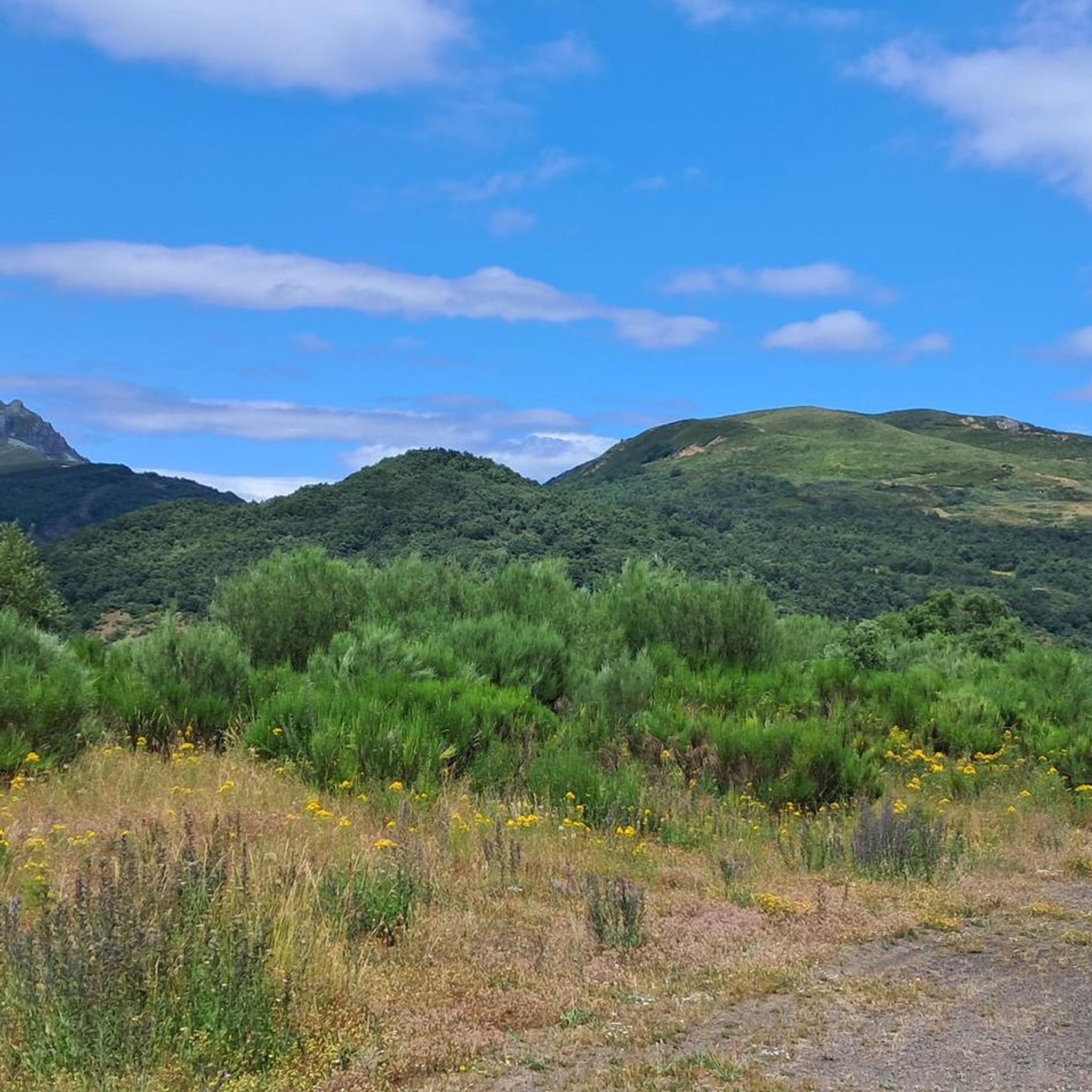
Hiking in Espacio Natural De Los Ancares Leoneses Y Alto Sil, a UNESCO Biosphere Reserve in the Cantabrian Mountains, offers diverse landscapes shaped by glacial and fluvial processes. The region features deep valleys, cirques, and glacial lakes, alongside extensive heathlands and dense forests of chestnut, oak, and holly. This area is characterized by its geomorphological heritage, providing varied terrain for outdoor activities.
Best hiking trails in Espacio Natural De Los Ancares Leoneses Y Alto Sil
- The most popular hiking route…
Last updated: July 7, 2026
1.7
(3)
4
hikers
7.11km
02:24
300m
300m
Hike the moderate 4.4-mile Cascada de Lumajo circular route through the Laciana Biosphere Reserve, featuring a waterfall and mountain views.
7
hikers
Hard hike. Very good fitness required. Sure-footedness, sturdy shoes and alpine experience required.

Sign up for free
2
hikers
Hard hike. Very good fitness required. Sure-footedness, sturdy shoes and alpine experience required.
1
hikers
12.3km
05:15
830m
830m
Hike the difficult 7.6-mile Pico Nevadín circular route from Salientes, gaining 2718 feet for panoramic views in Alto Sil.
5.0
(1)
22
hikers
5.32km
01:39
190m
190m
Easy hike. Great for any fitness level. Easily-accessible paths. Suitable for all skill levels.
Get access to more routes and recommendations from other explorers.
Sign up for free
Already have an account?
Our route recommendations are based on thousands of hikes, rides, and runs completed by other people on komoot.
Start today with a free account
Your next adventure awaits.
Login or Signup
Popular around Espacio Natural De Los Ancares Leoneses Y Alto Sil
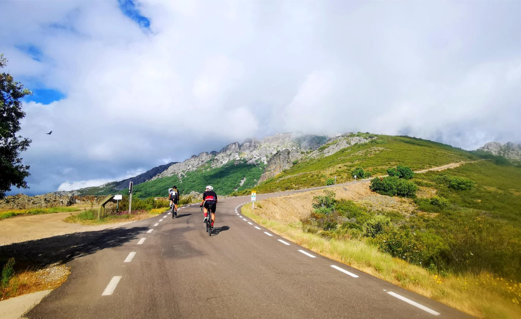
Legendary climbs - Ports of La Vuelta a España

TransCantabrica – Extreme mountain biking in northern Spain
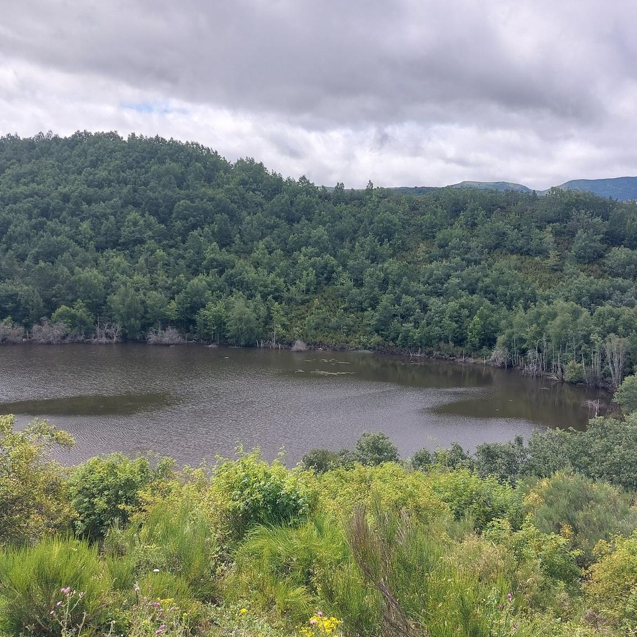
Road Cycling Routes in Espacio Natural De Los Ancares Leoneses Y Alto Sil
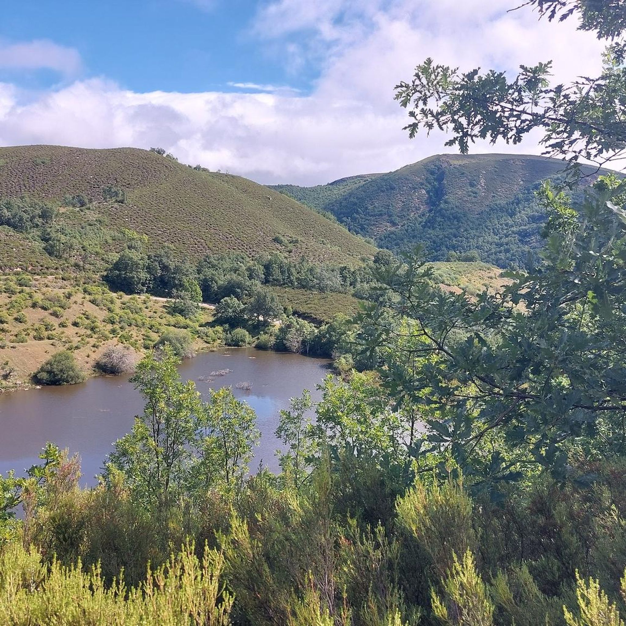
MTB Trails in Espacio Natural De Los Ancares Leoneses Y Alto Sil
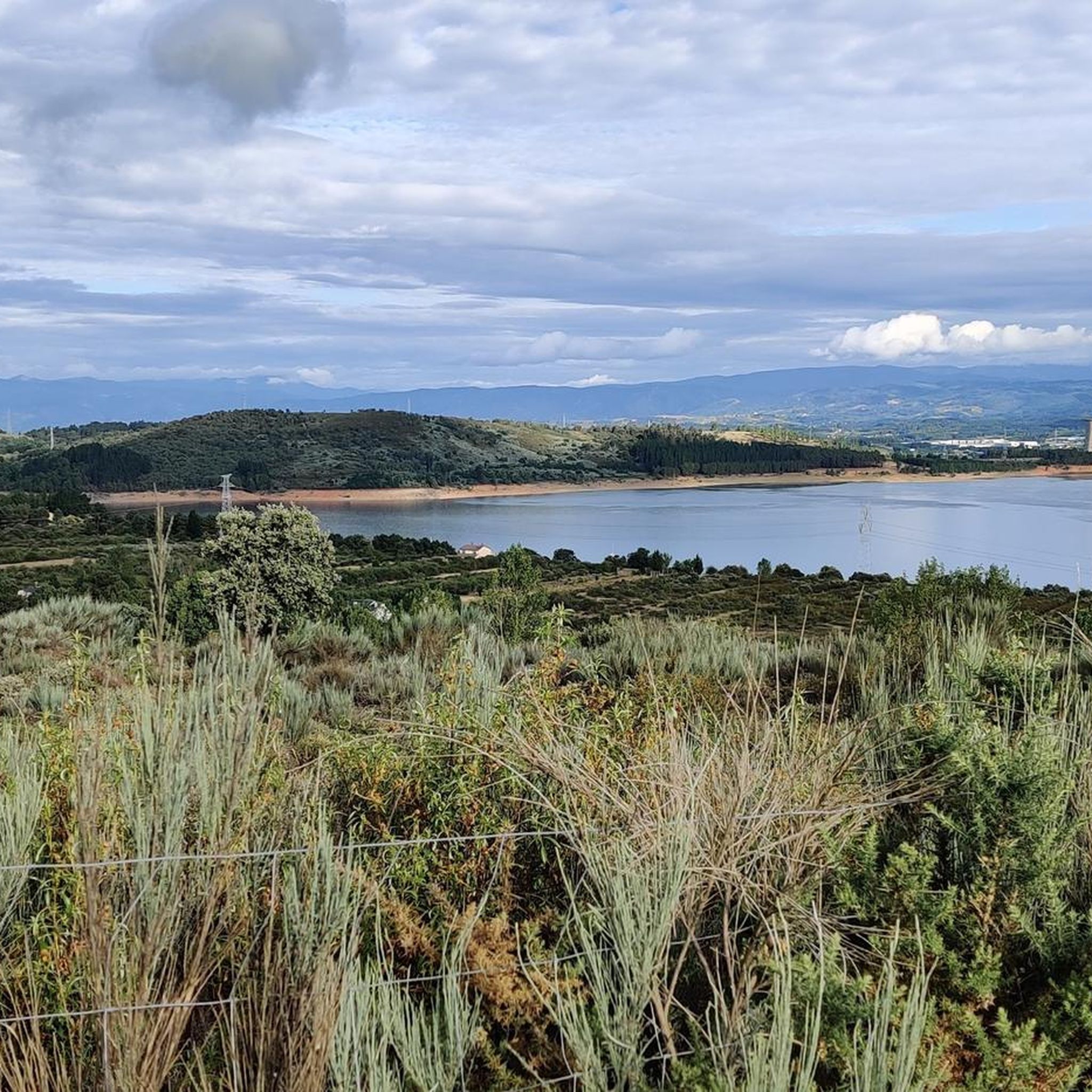
Running Trails in Espacio Natural De Los Ancares Leoneses Y Alto Sil
Cycling in Espacio Natural De Los Ancares Leoneses Y Alto Sil
Other adventures in Espacio Natural De Los Ancares Leoneses Y Alto Sil


Tips from the Community

At this point is the entrance to access the Lumajo waterfall from the road.
3
0
From the summit of El Moro de Rabón, we have spectacular views of the surrounding area, as well as the nearby Pico Nevadín and a large part of the Sierra de Gistredo.
4
0
Beautiful path that runs along the crest of the mountain between Miro de Rabón (1,983 m) and Boqueta de Fuentefría (1,895 m). He offers us a postcard stamp.
3
0
Beautiful 360 degree views that we find in the Pico Nevadín, located at 2,077 meters above sea level. On clear days we will have a privileged view of the Catoute and Cernella range, as well as other peaks to the south such as Valdeiglesias and Tambarón.
4
0
What a spectacle of scenery! The Zarameo braña offers us impressive views of the valley. It is possibly the best preserved in León, and has 22 cabins. Outside of summer, we will be able to recharge water at the source.
4
0
With beautiful views of the Rebentón forest, La Braña de la Seita has 10 cabins. The braña belongs to the residents of Cuevas, which is about 3 kilometers away.
4
0
Beautiful bridge that gives entrance to the braña. We must be attentive because it is somewhat hidden.
4
0
Picturesque forest track next to the Reguerona stream. This path leads to the Braña de la Seita.
4
0
Frequently Asked Questions
How many hiking trails are available in Espacio Natural De Los Ancares Leoneses Y Alto Sil?
Espacio Natural De Los Ancares Leoneses Y Alto Sil offers a diverse network of over 20 hiking routes. These trails cater to various skill levels, ranging from moderate walks to more challenging ascents through mountainous terrain.
What kind of natural features can I expect to see while hiking in the region?
The region is characterized by stunning natural features shaped by glacial and fluvial processes. You'll encounter deep valleys, cirques, and glacial lakes. Dense forests of ancient chestnut, oak, holly, and yew trees are common, alongside extensive heathlands. Keep an eye out for the diverse wildlife, including the Cantabrian brown bear, chamois, and various bird species.
Are there any family-friendly hiking options in Espacio Natural De Los Ancares Leoneses Y Alto Sil?
While the guide primarily features moderate to difficult routes, the region does offer trails suitable for families. These often involve less elevation gain and shorter distances, allowing for an enjoyable experience for all ages. Look for paths that explore the lower valleys and traditional villages.
Can I bring my dog on the hiking trails in Espacio Natural De Los Ancares Leoneses Y Alto Sil?
Yes, many trails in Espacio Natural De Los Ancares Leoneses Y Alto Sil are dog-friendly. However, it's always recommended to keep your dog on a leash, especially in areas with livestock or protected wildlife. Be mindful of local regulations and ensure your dog is well-behaved and doesn't disturb the natural environment or other hikers.
What are some notable landmarks or points of interest to explore in the area?
Beyond the natural beauty, the region is rich in cultural heritage. You can explore traditional villages like Burbia and Teixeira, known for their well-preserved architecture, including the unique pre-Roman "palloza" circular stone houses. For historical insights, visit archaeological sites such as the Castro de Chano. Nature lovers might also enjoy visiting Entrance to Lumajo Waterfall or reaching the summit of Pico Cornón for panoramic views.
Are there any circular hiking routes available?
Yes, the region offers several excellent circular routes. For example, the Cascada de Lumajo – circular through the Laciana Biosphere Reserve is a moderate 4.4-mile (7.1 km) trail. Another option is the Pico Nevadín (2.077 m) – circular from Salientes, a more challenging 12.3-mile (19.8 km) route offering significant elevation.
What is the best time of year to go hiking in Espacio Natural De Los Ancares Leoneses Y Alto Sil?
The best time for hiking is generally from late spring to early autumn (May to October). During these months, the weather is milder, and the trails are typically free of snow, especially at lower elevations. Summer offers lush greenery, while autumn brings vibrant fall colors to the forests. Winter hiking is possible but requires appropriate gear and experience due to snow and colder temperatures.
Is public transport available to access the hiking trails?
Public transport options within Espacio Natural De Los Ancares Leoneses Y Alto Sil are limited, especially to the more remote trailheads. It is generally recommended to travel by car to access most hiking routes. Some larger villages might have bus connections, but schedules can be infrequent. Planning your journey in advance is advisable.
Where can I find parking for the hiking trails?
Many popular trailheads, especially those near villages or significant natural attractions, offer designated parking areas. For example, there is parking available for the Lago El Puerto – Alto de la Ferradura loop near Leitariegos. However, in more remote areas, parking might be less formal, so always park responsibly and ensure you are not obstructing local access or damaging the environment.
What do other hikers enjoy most about Espacio Natural De Los Ancares Leoneses Y Alto Sil?
The area is highly rated by the komoot community, with an average score of 4.4 stars from over 40 reviews. Hikers frequently praise the region's diverse landscapes, from deep valleys and dense forests to high mountain peaks and glacial lakes. The sense of tranquility and the opportunity to experience rich biodiversity are also commonly highlighted.
Are there any cafes or pubs near the hiking trails?
You'll find cafes and pubs primarily in the traditional villages scattered throughout the region, such as Burbia, Candín, Peranzanes, and Vega de Espinareda. These establishments offer a chance to refuel and experience local hospitality after your hike. However, services can be sparse in more remote areas, so it's wise to carry sufficient water and snacks.
What is the difficulty level of hiking in this region?
Hiking in Espacio Natural De Los Ancares Leoneses Y Alto Sil offers a range of difficulty levels. While there are some moderate trails, a significant portion of the routes are classified as difficult, involving considerable elevation gain and longer distances. For instance, the Braña de la Degollada, Zarameo y de la Seita – circular desde Cuevas del Sil is a challenging 9.7-mile (15.6 km) route with over 1000 meters of ascent.
Most popular routes in Espacio Natural De Los Ancares Leoneses Y Alto Sil
Most popular attractions in Espacio Natural De Los Ancares Leoneses Y Alto Sil

Get inspired with the komoot mobile app


Explore more
Browse the best Hikes in other regions.
