Espacio Natural De Las Sierras De La Paramera Y Serrota
Espacio Natural De Las Sierras De La Paramera Y Serrota
The best cycling routes in Espacio Natural De Las Sierras De La Paramera Y Serrota
5.0
(3)
247
riders
25
rides
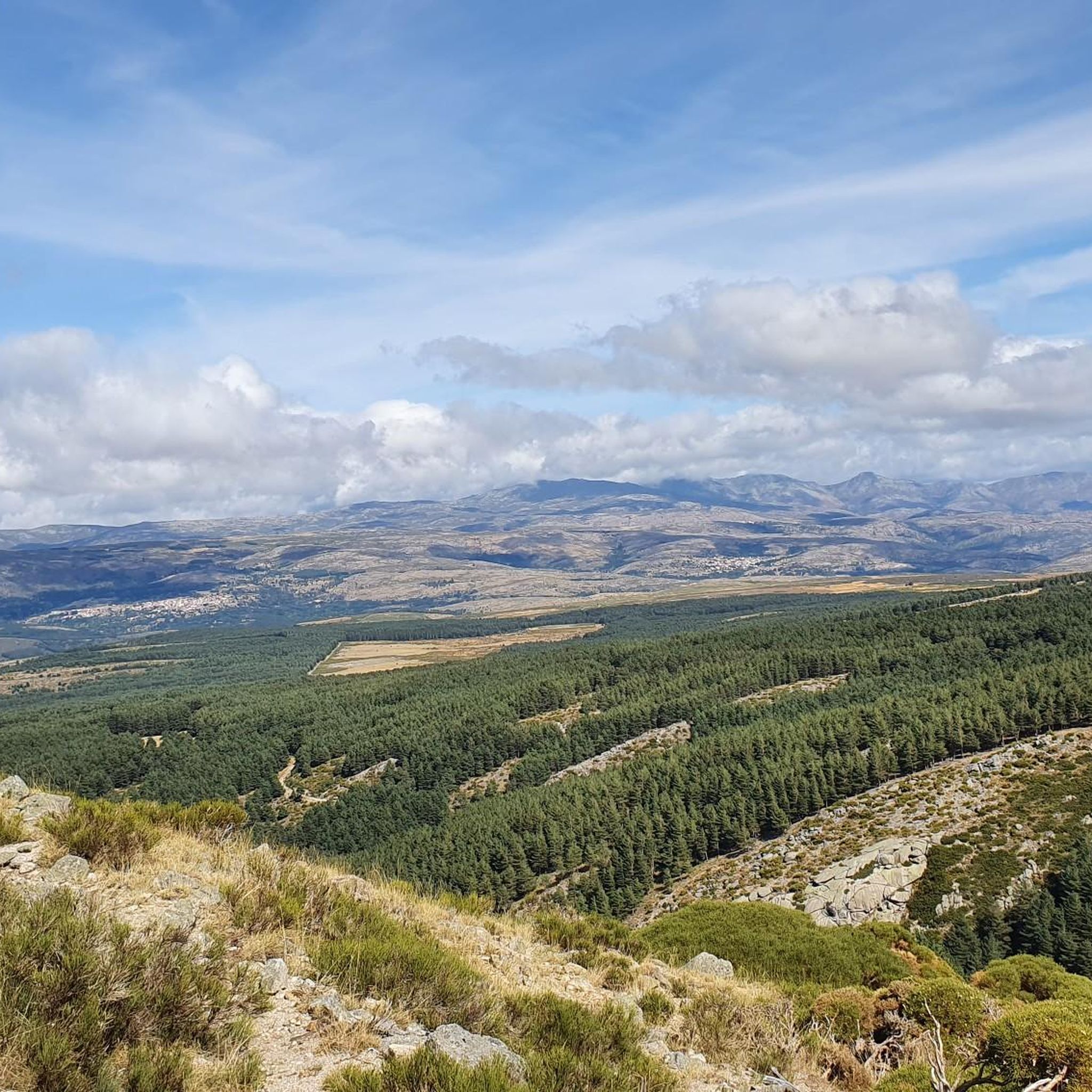
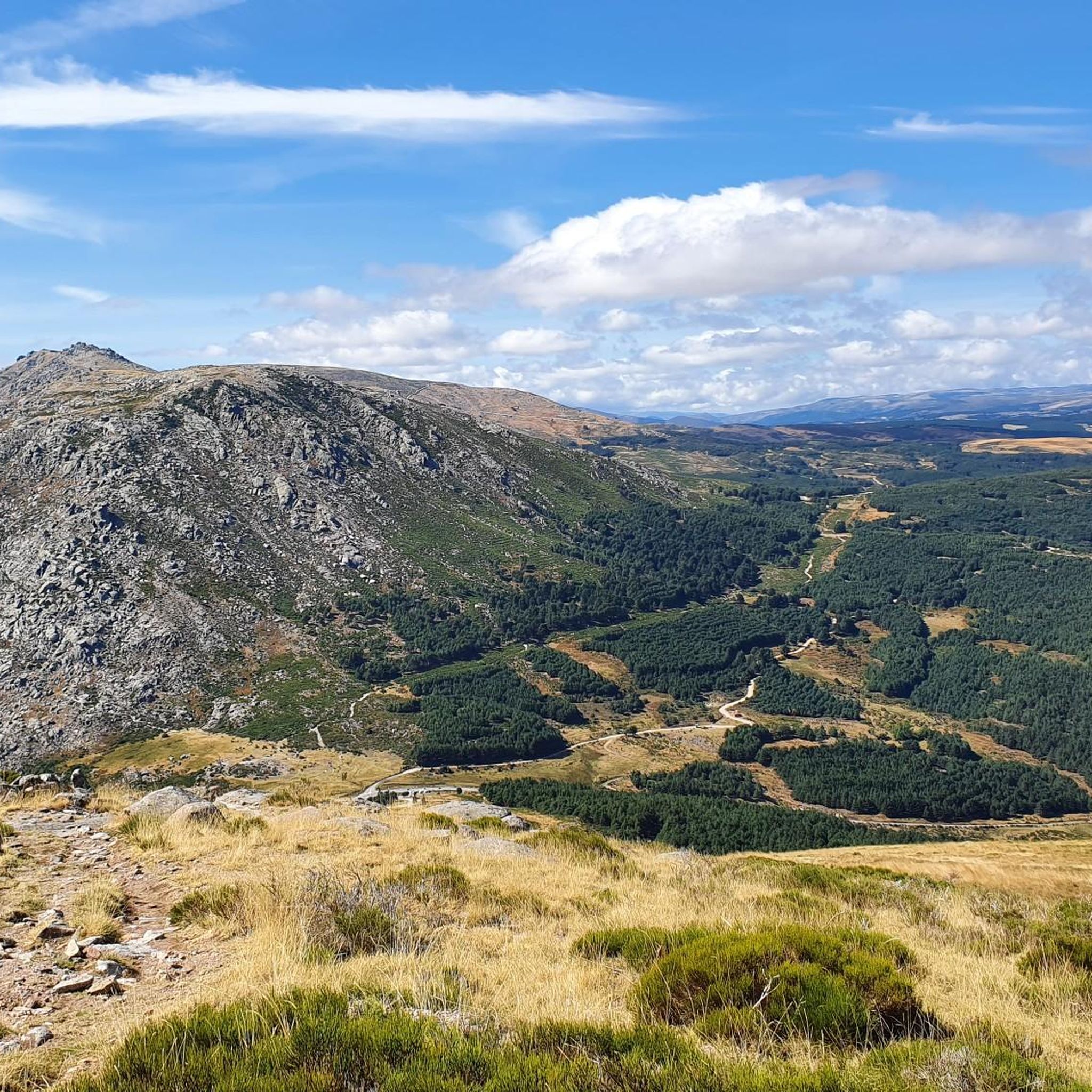
Touring cycling routes in Espacio Natural De Las Sierras De La Paramera Y Serrota traverse a diverse landscape characterized by an extensive pre-glacial mountain range and undulating valleys. The region features predominantly granitic terrain, with notable rock formations known as "berrocales" and "bolos." Rivers such as the Adaja, Alberche, and Corneja originate in these sierras, carving through granite to form gorges. This protected natural area offers varied routes for cyclists, ranging from challenging mountain passes to smoother valley paths.
Best…
Last updated: July 1, 2026
7
riders
69.5km
05:06
1,580m
1,580m
Hard bike ride. Very good fitness required. Mostly paved surfaces. Suitable for all skill levels.
8
riders
94.6km
06:41
1,750m
1,750m
Hard bike ride. Very good fitness required. Mostly paved surfaces. Suitable for all skill levels.

Sign up for free
3
riders
33.1km
02:45
250m
250m
Moderate bike ride. Good fitness required. Mostly paved surfaces. Suitable for all skill levels.
5
riders
40.6km
02:54
860m
860m
Hard bike ride. Very good fitness required. Mostly paved surfaces. Suitable for all skill levels.
5.0
(1)
4
riders
59.3km
04:10
1,170m
1,170m
Hard bike ride. Very good fitness required. Mostly paved surfaces. Suitable for all skill levels.
Get access to more routes and recommendations from other explorers.
Sign up for free
Already have an account?
Our route recommendations are based on thousands of hikes, rides, and runs completed by other people on komoot.
Start today with a free account
Your next adventure awaits.
Login or Signup
Popular around Espacio Natural De Las Sierras De La Paramera Y Serrota
Road Cycling Routes in Espacio Natural De Las Sierras De La Paramera Y Serrota
Hiking in Espacio Natural De Las Sierras De La Paramera Y Serrota
MTB Trails in Espacio Natural De Las Sierras De La Paramera Y Serrota
Running Trails in Espacio Natural De Las Sierras De La Paramera Y Serrota

Gravel biking in Espacio Natural De Las Sierras De La Paramera Y Serrota
Tips from the Community

The Parador de Gredos, located in Navarredonda de Gredos (Ávila), is a historic and emblematic landmark in the Sierra de Gredos mountains, surrounded by pine forests and spectacular landscapes. Inauguration: October 9, 1928, by King Alfonso XIII. First Parador in Spain: It marked the beginning of the national network of Paradores, designed to promote tourism in natural settings and unique buildings. Architecture: Built with stone and slate, inspired by Castilian aesthetics, with rustic and welcoming interiors.
1
0
The Serranillos Pass is one of the most iconic mountain passes in the Sierra de Gredos, famous for its beauty and for being a historic stage in the Vuelta a España (Hinault's legendary stage in 1983). Views of the Cinco Villas Valley and the Gredos peaks. Spectacular scenery throughout the climb. Signage with gradient and remaining distance information. Ideal for linking up with Puerto del Pico, Pedro Bernardo, and Mijares for an epic stage.
1
0
The Mijares Pass is one of the great mountain passes in the Sierra de Gredos, highly prized by cyclists for its length, elevation gain, and scenic beauty. Maximum gradient: 11% (on short ramps before Mijares). There are several steep sections in the villages and near the Horcajo area, as well as another one 2 km from the summit.
1
0

You cool down very quickly up here, especially when it's windy.
7
0

Highest point 1580 on this route, there is a large parking lot to enjoy the view.
16
0

A legendary mountain pass in the Vuelta a España and in the Gredos mountain range, along with Serranillos, Peña Negra, Pedro Bernardo, and Puerto del Pico. It's a namesake of Serranillos, as it connects the same valleys, running parallel. Like Serranillo, it's a pass with a gentle, continuous gradient and uneven, bumpy asphalt, which is typical of this area. A pass of thermal contrasts: in winter, you're freezing cold, and in summer, you can die of heat.
0
0

Beautiful stone bridge over the Alberche River as it passes through Navaluenga.
0
0
The Serranillos pass is one of the great classics of the Tour of Spain as it passes through the Sierra de Gredos. As the Vuelta has almost always ended in Madrid, the Gredos and Guadarrama mountain ranges offered very interesting alternatives to trace mountain stages in the last stages. The port of Serranillos is very iconic in the Sierra de Gredos for several reasons: type of port (long and long), rough and irregular road (but in good condition) and dryland landscape with little vegetation (very typical of this inland area of the Iberian Peninsula). The Serranillos port presents many climbing alternatives: - On its eastern side, there are 2 alternatives: from Burgohondo (the classic one, along the main highway AV-913) and from Navalosa along the AV P-419 highway, which joins the previous one in Navarrevisca. - on its west side, is where we will find more alternatives. I have come to count up to 5 alternatives. They are the following: (1) climb through Santa Cruz del Valle, starting from the N-502 and taking the AV p-706 highway, to later reach San Esteban del Valle and from there to the top; (2) leaving Mombeltrán on the AV-922 highway towards San Esteban del Valle and from there to the top; (3) starting from Cuevas del Valle and passing through Villarejo del Valle on the AV P-706 highway, reaching San Esteban del Valle and from there to the top; (4) starting from the N-502, in the middle of the climb to the Pico pass, taking a road that takes us to the Mirador de la Carretera del Sidrillo and to Esteban del Valle, and from there to the top; (5) previously crossing the Pedro Bernardo port on the AV-922 highway Although I have only done alternative 4 on the eastern slope by bike, they are all very similar. The slopes are gentle and the views, as there is little vegetation, cover a lot of territory.
0
0
Frequently Asked Questions
How many touring cycling routes are available in Espacio Natural De Las Sierras De La Paramera Y Serrota?
There are over 20 touring cycling routes in Espacio Natural De Las Sierras De La Paramera Y Serrota, offering a variety of experiences for different skill levels. The komoot community has explored these routes over 200 times.
What kind of terrain can I expect on touring cycling routes in Espacio Natural De Las Sierras De La Paramera Y Serrota?
The region features a diverse landscape, from an extensive pre-glacial mountain range to undulating valleys. You'll encounter predominantly granitic terrain, with unique rock formations known as "berrocales" and "bolos." Rivers like the Adaja, Alberche, and Corneja carve through granite, forming gorges and adding to the scenic variety.
What is the best time of year for touring cycling in Espacio Natural De Las Sierras De La Paramera Y Serrota?
The natural beauty of the area changes throughout the year. Spring offers vibrant green landscapes, while autumn brings rich hues to deciduous forests. Summers can be warm, and winters see snow-capped peaks. For touring cycling, spring and autumn generally provide the most pleasant temperatures and stunning scenery.
Are there routes suitable for different cycling abilities?
Yes, Espacio Natural De Las Sierras De La Paramera Y Serrota offers routes for various abilities. While the majority of routes are classified as difficult (14 routes), there are also 6 moderate routes available, providing options for less strenuous rides through undulating valleys.
Are there any circular touring cycling routes in the region?
Many of the touring cycling routes in Espacio Natural De Las Sierras De La Paramera Y Serrota are designed as loops. For example, you can enjoy the challenging Puerto de Mijares – Villanueva de Ávila loop from La Cabezuela or the moderate Bike loop from Narros del Puerto.
Can I find challenging touring cycling routes with significant climbs?
Absolutely. The region is characterized by high mountain peaks and demanding terrain. Routes like the Serranillos Pass – Alberche River loop from Navalmoral de la Sierra feature significant elevation gains and explore granitic landscapes, offering a truly demanding cycling experience.
What natural features or landmarks can I see while cycling in Espacio Natural De Las Sierras De La Paramera Y Serrota?
The area is rich in natural monuments and landmarks. You can encounter impressive peaks like Pico Zapatero and Serrota, as well as mountain passes such as Portacho del Cuchillo and Collado de la Honda. The Source of the Adaja River is another notable natural highlight.
Are there any river valleys or water features along the routes?
Yes, rivers such as the Adaja, Alberche, and Corneja originate in these sierras, carving their way through granite to form gorges and small waterfalls. The Serranillos Pass – Alberche River loop from Navalmoral de la Sierra, for instance, explores river valleys, providing scenic views and varied terrain.
What do other touring cyclists enjoy the most about touring cycling in Espacio Natural De Las Sierras De La Paramera Y Serrota?
The area is highly rated by the komoot community, with an average score of 5.0 stars. Reviewers often praise the diverse landscapes, from challenging mountain passes to serene valley paths, and the unique granitic formations that make for a visually rich experience.
Are there any moderate touring cycling routes for a less strenuous ride?
Yes, there are several moderate routes available. For example, the Bike loop from Narros del Puerto is a moderate 20.6-mile (33.1 km) trail that takes you through undulating valleys, typically completed in about 2 hours 45 minutes.
Can I find routes that pass through villages or offer places to rest?
The region includes numerous municipalities such as Riofrío, Sotalvo, and Villafranca de la Sierra, which can serve as excellent starting points or rest stops during your tours. The village of Cepeda la Mora is also a notable settlement in the area.
Most popular routes in Espacio Natural De Las Sierras De La Paramera Y Serrota
Most popular attractions in Espacio Natural De Las Sierras De La Paramera Y Serrota

Get inspired with the komoot mobile app


Explore more
Browse the best Cycling routes in other regions.
