Espacio Natural De Las Sierras De La Paramera Y Serrota
Espacio Natural De Las Sierras De La Paramera Y Serrota
The best MTB trails in Espacio Natural De Las Sierras De La Paramera Y Serrota
4.1
(24)
323
riders
35
rides
Mountain biking in Espacio Natural De Las Sierras De La Paramera Y Serrota offers diverse terrain characterized by a preglacial mountainous alignment and granitic formations. The region features high mountain peaks, such as La Serrota (2,294 meters) and Pico Zapatero (2,146 meters), contrasting with undulating valleys. Important rivers like the Adaja and Alberche originate here, carving through the granite and contributing to the varied landscape. Patches of Pyrenean oak and diverse topography provide a rich environment for mountain bike trails.
…Last updated: July 1, 2026
3
riders
52.3km
04:18
950m
950m
Hard mountain bike ride. Very good fitness required. Advanced riding skills necessary.
3
riders
48.8km
03:54
870m
870m
Moderate mountain bike ride. Good fitness required. Suitable for all skill levels.

Sign up for free
2.5
(2)
7
riders
36.8km
04:04
1,170m
1,170m
This difficult 22.9-mile mountain biking route near Villatoro offers challenging terrain and scenic views with 3832 feet of elevation gain.
4
riders
69.4km
06:28
1,220m
1,220m
Hard mountain bike ride. Very good fitness required. Suitable for all skill levels.
4
riders
39.1km
03:51
890m
900m
Moderate mountain bike ride. Good fitness required. Suitable for all skill levels.
Get access to more routes and recommendations from other explorers.
Sign up for free
Already have an account?
Our route recommendations are based on thousands of hikes, rides, and runs completed by other people on komoot.
Start today with a free account
Your next adventure awaits.
Login or Signup
Popular around Espacio Natural De Las Sierras De La Paramera Y Serrota
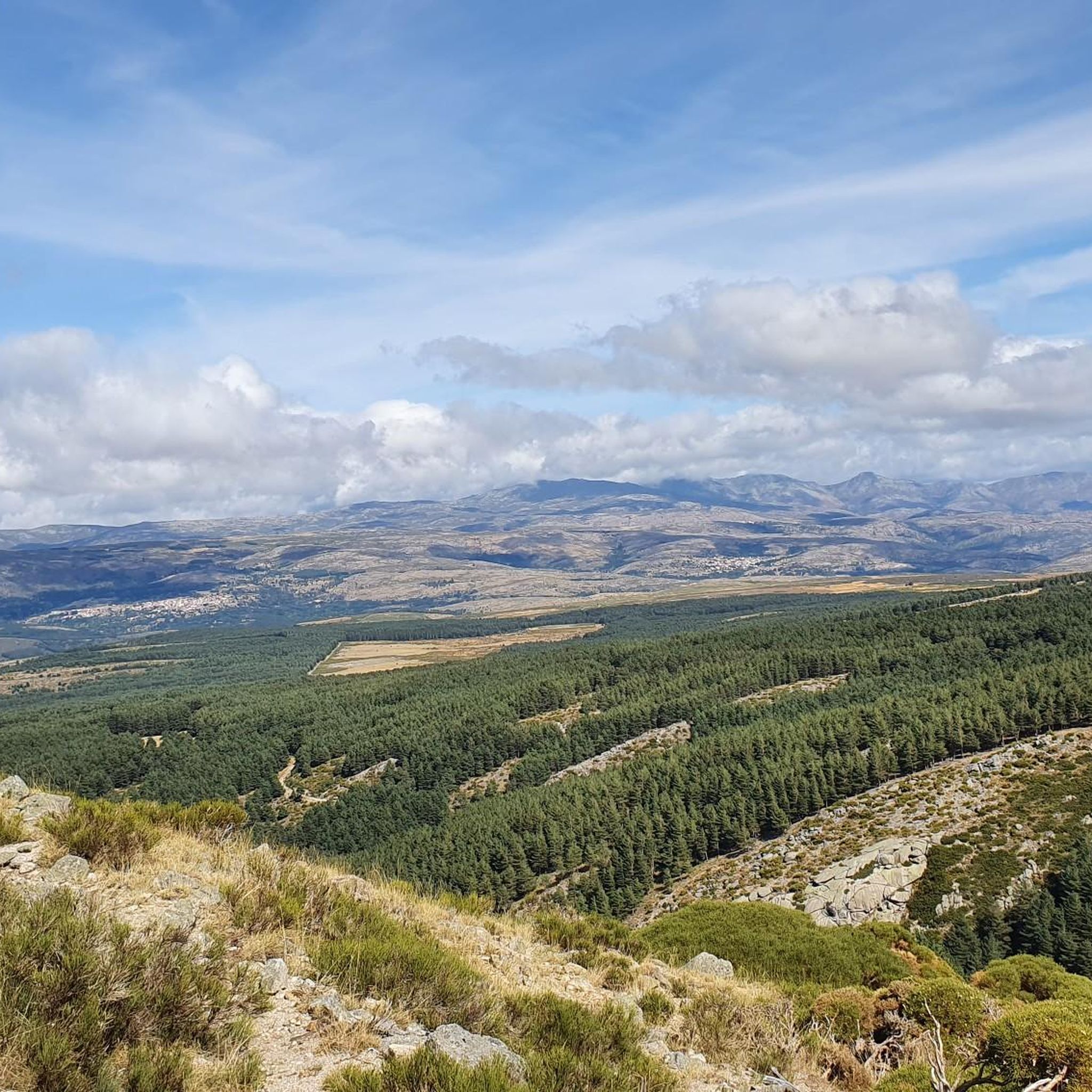
Road Cycling Routes in Espacio Natural De Las Sierras De La Paramera Y Serrota
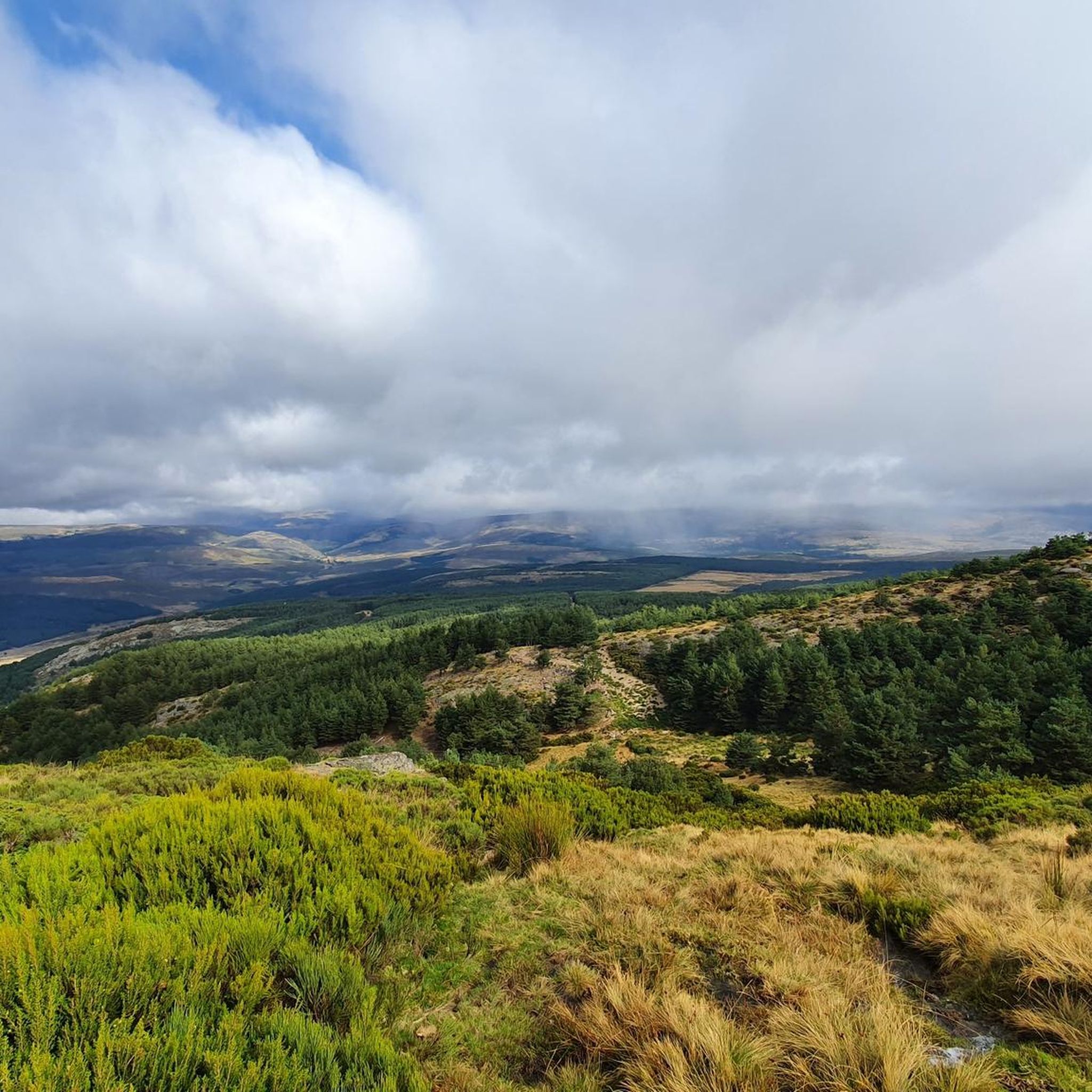
Hiking in Espacio Natural De Las Sierras De La Paramera Y Serrota
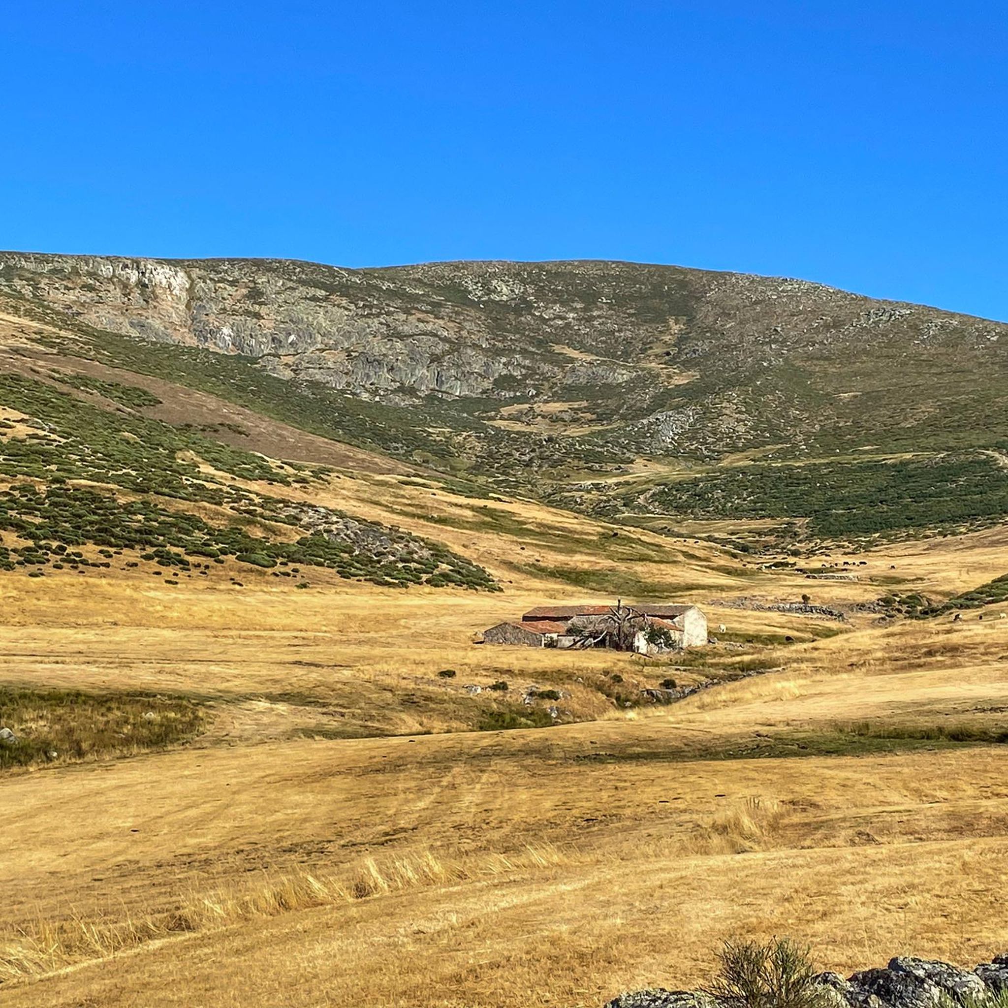
Running Trails in Espacio Natural De Las Sierras De La Paramera Y Serrota
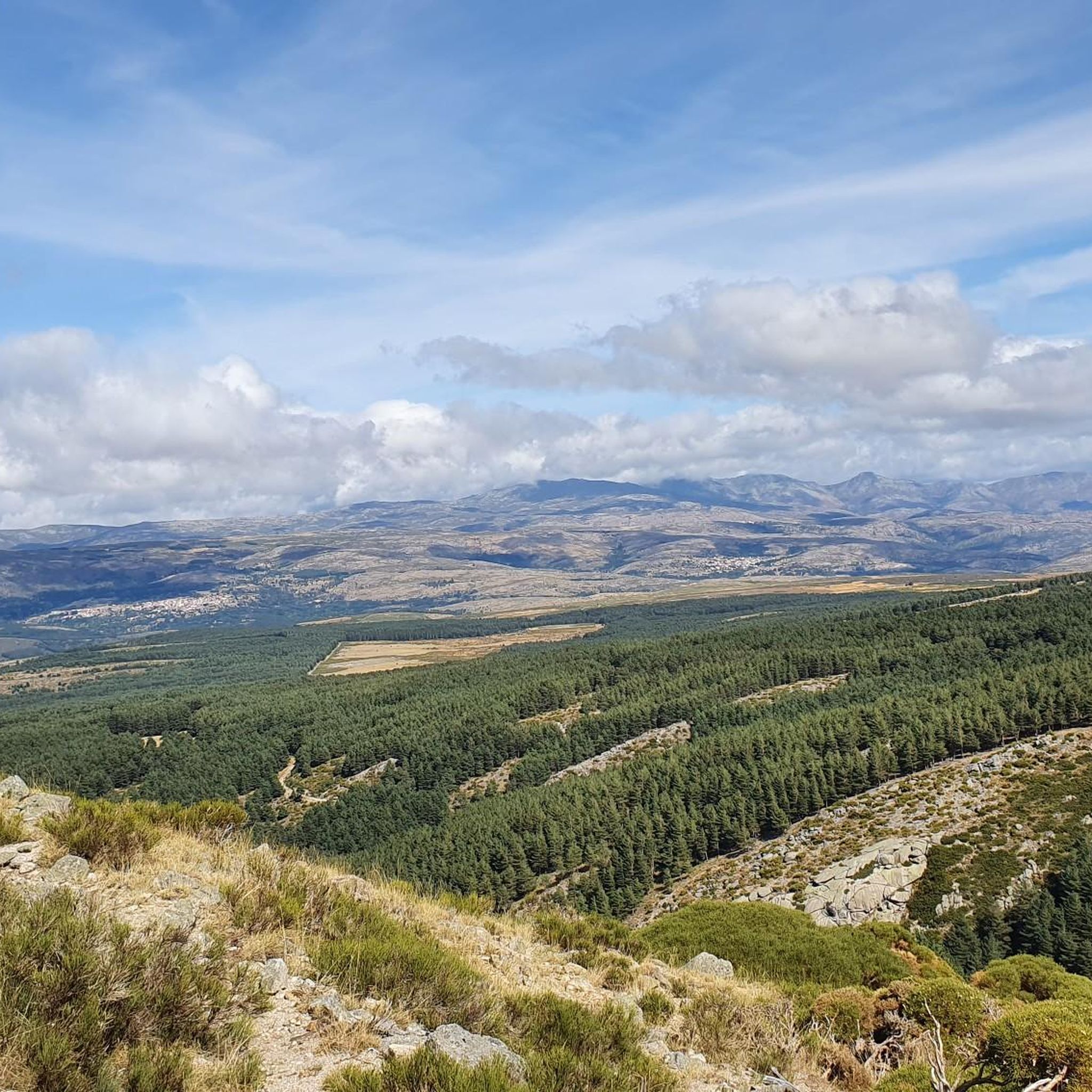
Cycling in Espacio Natural De Las Sierras De La Paramera Y Serrota

Gravel biking in Espacio Natural De Las Sierras De La Paramera Y Serrota
Tips from the Community

A stream on the outskirts of the town that even in these times runs a trickle of water, you can see it in the rainy season.
0
0

It is the only rebuilt mill that still works, but the person who made it work died and I don't know if there is anyone who can teach it and put it into operation.
0
0

From Puerto de Villatoro itself, a road appears in a northerly direction that goes towards the center of Villanueva del Campillo, with impressive views of the area.
0
0
Population that is located at the foot of the northern side of the Sierra de Panamera and that on one of its sides is the Castillo de Manqueospese. As it is surrounded by mountains, as soon as you get up, you can see the entire core.
0
0
Small town that is located at the foot of the northern side of the Sierra de Ávila and that the center is governed by the parish church of San Juan Bautista. It is worth taking a stroll through its streets.
1
0
This is one of the most important buildings in the town of Pedrahíta along with the Palace of the Dukes of Alba and the Convento de Carmelitas which is located in the same town.
1
0
The Río de la Garaganta descends through this valley that has formed over the years and that lets us see how the Sierra de Panamera peaks rise behind us.
1
0
The relief of the municipality is formed by two mountainous areas separated by the Amblés valley, through which the Adaja river runs, which is born in the territory. The northern area is called Sierra de Villanueva, a branch of the Sierra de Ávila.
0
0
Frequently Asked Questions
How many mountain bike trails are available in Espacio Natural De Las Sierras De La Paramera Y Serrota?
There are over 35 mountain bike trails in Espacio Natural De Las Sierras De La Paramera Y Serrota, offering a wide range of options for different skill levels. You'll find 2 easy routes, 21 moderate routes, and 12 difficult routes to explore.
What kind of terrain can I expect on the mountain bike trails in this region?
The terrain in Espacio Natural De Las Sierras De La Paramera Y Serrota is predominantly mountainous, characterized by impressive granitic formations, often described as a 'labyrinth of stone sculptures.' You'll encounter high mountain peaks, undulating valleys, and trails carved by rivers like the Adaja and Alberche. While some routes feature paved sections, many include unpaved or challenging parts, requiring good physical condition and experience.
Are there any family-friendly mountain bike routes?
Yes, there are a couple of easy mountain bike routes suitable for families or those looking for a less strenuous ride. These trails allow you to enjoy the natural beauty of the area without significant technical challenges or steep climbs.
What are some of the natural landmarks or points of interest I can see while mountain biking?
The region is rich in natural landmarks. You can encounter impressive granitic formations and high peaks. Notable points include Pico Zapatero (2,146 meters) and Serrota (2,294 meters). You might also pass through mountain passes like Portacho del Cuchillo or discover the Source of the Adaja River.
Are there any circular mountain bike routes?
Yes, many of the mountain bike routes in Espacio Natural De Las Sierras De La Paramera Y Serrota are circular, allowing you to start and end at the same point. For example, the difficult Villatoro and Garganta de los Hornos Loop takes you through river valleys and granitic rock formations.
What is the best time of year for mountain biking in Espacio Natural De Las Sierras De La Paramera Y Serrota?
The changing seasons offer different experiences. Spring and autumn are generally ideal, with pleasant temperatures and vibrant landscapes. Winters can bring snow to higher elevations, offering a unique challenge for experienced riders, while summers are great for exploring the lower valleys and wooded areas.
What do other mountain bikers enjoy most about the trails here?
The trails in Espacio Natural De Las Sierras De La Paramera Y Serrota are highly rated by the komoot community, with an average score of 4.1 stars. Mountain bikers often praise the diverse scenery, from high mountain peaks to green meadows and wooded landscapes, as well as the challenging climbs and rewarding descents.
Are there any mountain bike routes that explore the river systems?
Absolutely. Rivers like the Adaja and Alberche originate in these mountains, carving gorges and valleys. The Villatoro – Source of the Adaja River loop from Villatoro is a difficult route that allows you to explore the origins of one of these important waterways.
Can I find routes with significant elevation changes?
Yes, the mountainous terrain ensures plenty of elevation gain and loss. For instance, the difficult Arroyo Prodesagar – Rollo de Muñotello loop from Villatoro features over 1200 meters of ascent and descent, providing a substantial workout and panoramic views.
Are there any moderate routes for mountain bikers looking for a balanced challenge?
Yes, there are 21 moderate routes available. A great option is the Puerto de Villatoro – Las Fuentes Pass loop from Puerto de Villatoro. This route offers varied scenery, including views of the granitic landscape and forested sections, without being overly technical.
What kind of wildlife might I encounter while mountain biking?
Espacio Natural De Las Sierras De La Paramera Y Serrota is known for its ecological richness, particularly its valuable faunal communities. Keep an eye out for various raptors, such as the Spanish imperial eagle, black vulture, griffon vulture, and peregrine falcon, especially in the more remote areas.
Are there any towns or villages along the routes where I can find amenities?
While the region is primarily natural, some routes pass near or through small settlements. For example, the village of Cepeda la Mora is a notable settlement within the area, and routes often start or pass through places like Villatoro, where basic amenities might be available.
Most popular routes in Espacio Natural De Las Sierras De La Paramera Y Serrota
Most popular attractions in Espacio Natural De Las Sierras De La Paramera Y Serrota

Get inspired with the komoot mobile app


Explore more
Browse the best MTB trails in other regions.
