Espacio Natural De Las Sierras De La Paramera Y Serrota
Espacio Natural De Las Sierras De La Paramera Y Serrota
The best road cycling routes in Espacio Natural De Las Sierras De La Paramera Y Serrota
4.1
(7)
1,742
riders
27
rides
Road cycling routes in Espacio Natural De Las Sierras De La Paramera Y Serrota traverse a mountainous landscape characterized by granitic formations and varied terrain. This protected natural area, part of the Natura 2000 network, features high mountain peaks like La Serrota (2,294 meters) and Pico Zapatero (2,146 meters), alongside undulating valleys. Rivers such as the Adaja and Alberche carve gorges through the granite, while several mountain passes, including Menga, Chía, Villatoro, and Navalmoral, offer challenging ascents and descents for…
Last updated: July 11, 2026
2
riders
147km
07:20
2,360m
2,350m
Hard road ride. Very good fitness required. Mostly well-paved surfaces and easy to ride.
3.0
(1)
55
riders
109km
06:11
2,380m
2,380m
Hard road ride. Very good fitness required. Some segments of this route may be unpaved and difficult to ride.

Sign up for free
5
riders
126km
06:31
2,090m
2,080m
Hard road ride. Very good fitness required. Mostly well-paved surfaces and easy to ride.
94
riders
154km
08:32
3,320m
3,320m
Hard road ride. Very good fitness required. Mostly well-paved surfaces and easy to ride.
31
riders
56.9km
03:05
1,150m
1,150m
Hard road ride. Very good fitness required. Mostly well-paved surfaces and easy to ride.
Get access to more routes and recommendations from other explorers.
Sign up for free
Already have an account?
Our route recommendations are based on thousands of hikes, rides, and runs completed by other people on komoot.
Start today with a free account
Your next adventure awaits.
Login or Signup
Popular around Espacio Natural De Las Sierras De La Paramera Y Serrota
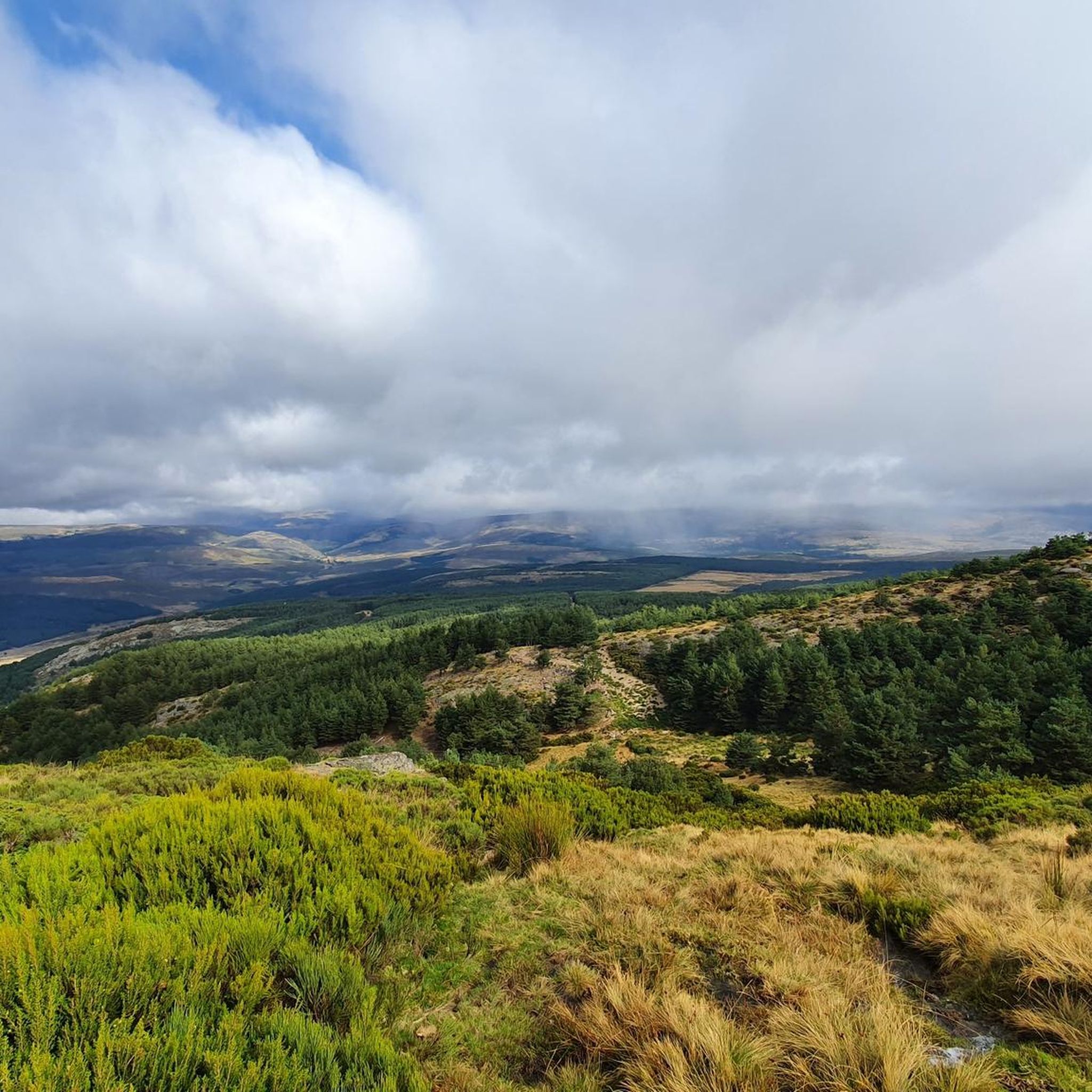
Hiking in Espacio Natural De Las Sierras De La Paramera Y Serrota
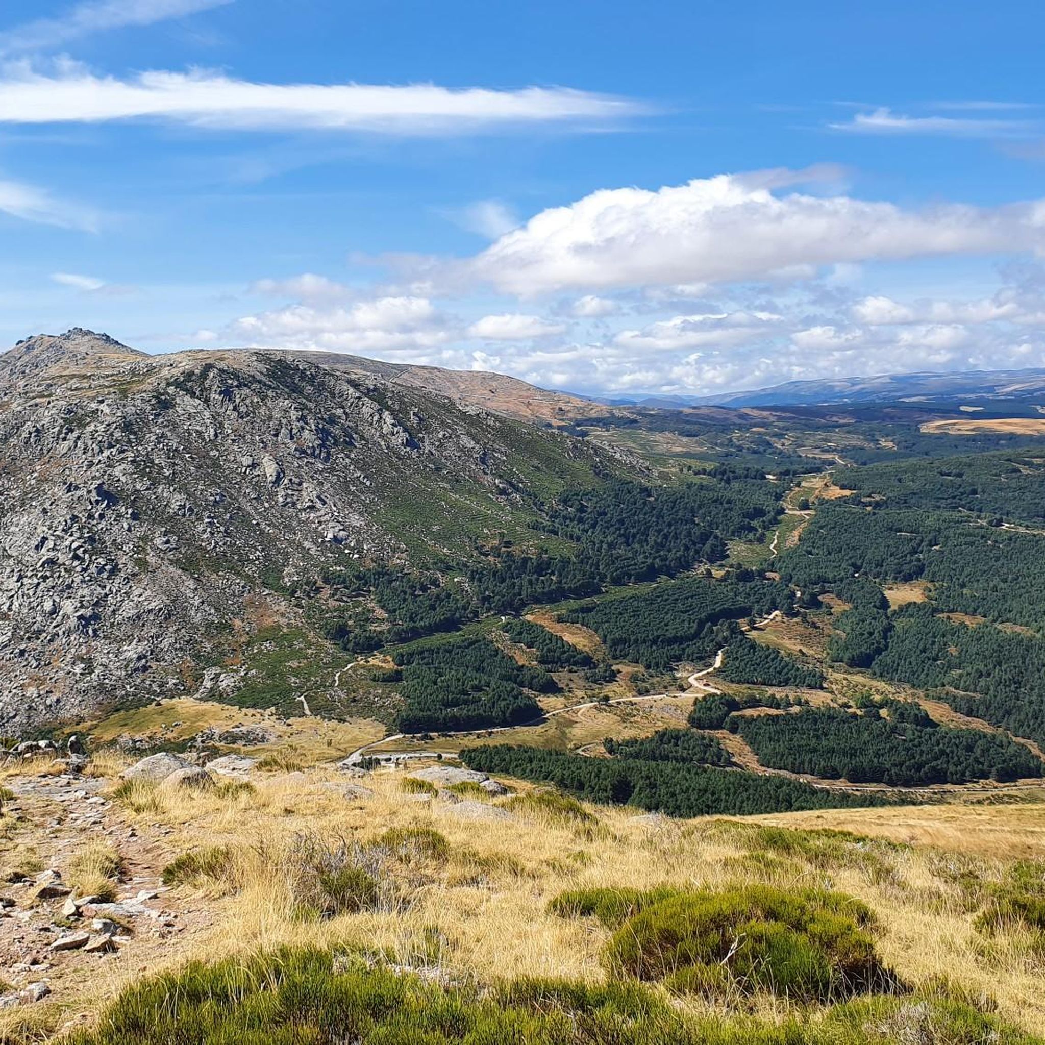
MTB Trails in Espacio Natural De Las Sierras De La Paramera Y Serrota
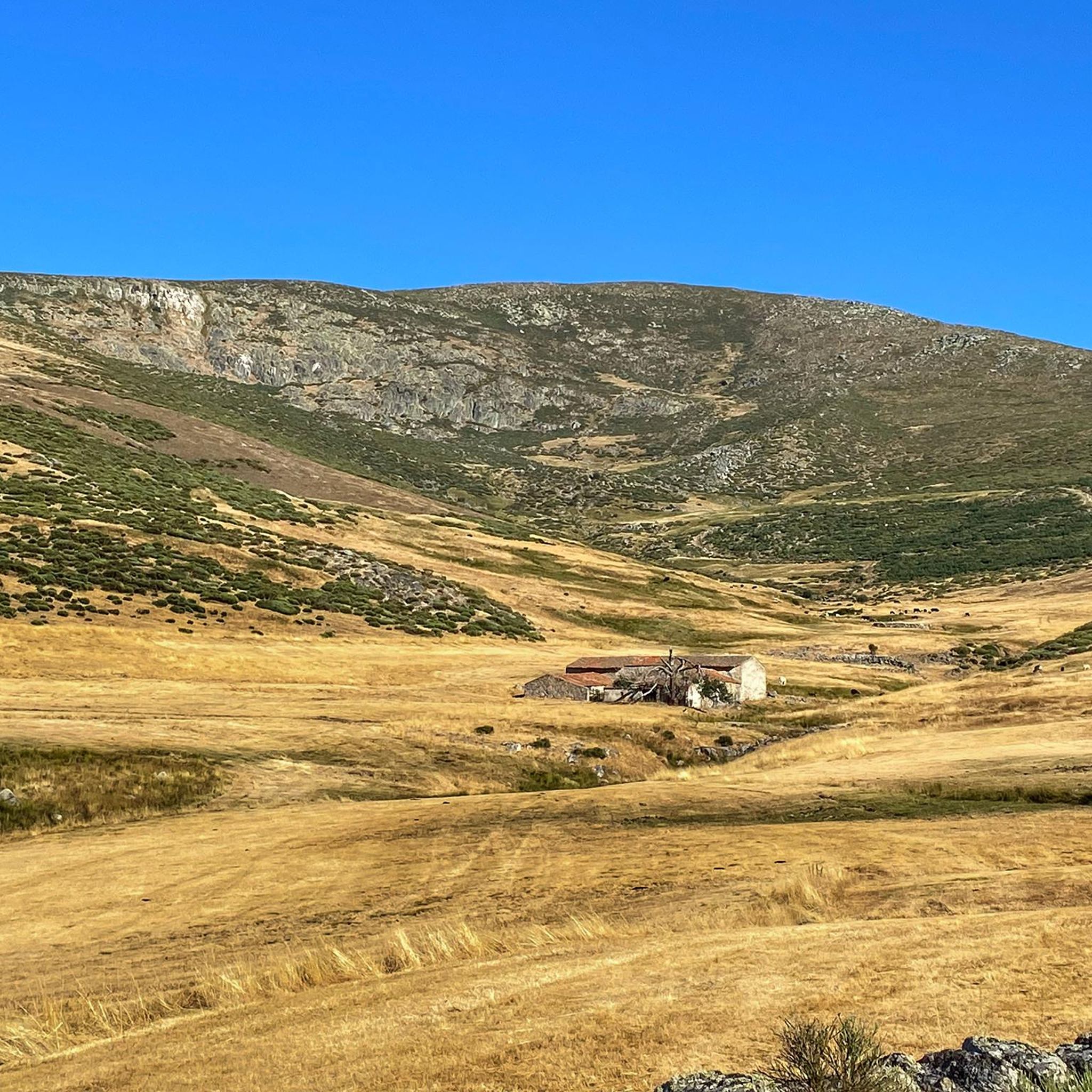
Running Trails in Espacio Natural De Las Sierras De La Paramera Y Serrota
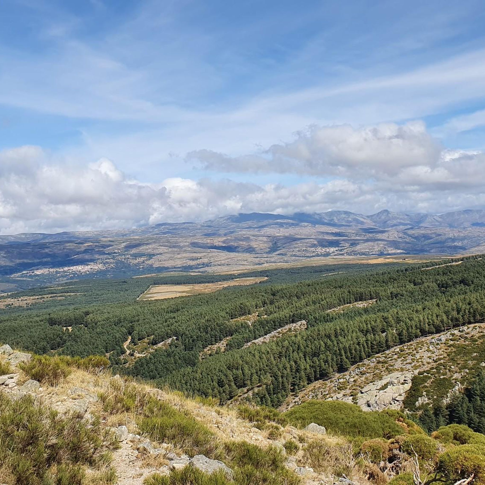
Cycling in Espacio Natural De Las Sierras De La Paramera Y Serrota

Gravel biking in Espacio Natural De Las Sierras De La Paramera Y Serrota
Tips from the Community

Very good, comfortable and affordable hotel.
0
0

The Serranillos Pass is one of the most iconic mountain passes in the Sierra de Gredos, famous for its beauty and for being a historic stage in the Vuelta a España (Hinault's legendary stage in 1983). Views of the Cinco Villas Valley and the Gredos peaks. Spectacular scenery throughout the climb. Signage with gradient and remaining distance information. Ideal for linking up with Puerto del Pico, Pedro Bernardo, and Mijares for an epic stage.
1
0
The Mijares Pass is one of the great mountain passes in the Sierra de Gredos, highly prized by cyclists for its length, elevation gain, and scenic beauty. Maximum gradient: 11% (on short ramps before Mijares). There are several steep sections in the villages and near the Horcajo area, as well as another one 2 km from the summit.
1
0
The Pedro Bernardo Pass is one of the classic climbs in the Sierra de Gredos mountains, highly prized by cyclists and a regular feature of races like the Vuelta a España. First section: Up to the village (Pedro Bernardo), with gradients of 5-6%, a road in good condition, and spectacular views of the Tiétar Valley. Urban section: In the village, the gradient eases, even offering some flatter sections. Second section: After the village, the asphalt becomes rougher, and the toughest kilometer (7-8%) appears, followed by a "balcony" section with incredible views and a sustained 5% gradient to the summit.
1
0

You cool down very quickly up here, especially when it's windy.
7
0

Highest point 1580 on this route, there is a large parking lot to enjoy the view.
16
0

It's an open pass in the inhospitable landscape typical of this area. It's highly recommended because it offers easy connections to other passes such as Serranillos and Mijares.
0
0
A legendary mountain pass in the Vuelta a España and in the Gredos mountain range, along with Serranillos, Peña Negra, Pedro Bernardo, and Puerto del Pico. It's a namesake of Serranillos, as it connects the same valleys, running parallel. Like Serranillo, it's a pass with a gentle, continuous gradient and uneven, bumpy asphalt, which is typical of this area. A pass of thermal contrasts: in winter, you're freezing cold, and in summer, you can die of heat.
0
0
Frequently Asked Questions
What kind of terrain can I expect when road cycling in Espacio Natural De Las Sierras De La Paramera Y Serrota?
The region offers a mountainous landscape characterized by significant granitic formations, including distinctive "berrocales" and sculpted rock features. You'll encounter a mix of high mountain peaks, such as La Serrota (2,294 meters) and Pico Zapatero (2,146 meters), alongside undulating valleys. Rivers like the Adaja and Alberche carve through the granite, creating scenic gorges. Expect varied topography with challenging ascents and exhilarating descents.
How challenging are the road cycling routes in this natural area?
Road cycling in Espacio Natural De Las Sierras De La Paramera Y Serrota is generally challenging. The majority of routes, 20 out of 24, are classified as difficult, featuring extensive climbs and descents through mountainous terrain. For example, the Rodeo a la Sierra de la Panamera — circular por el Puerto de Navalmoral route covers 91.2 miles (146.8 km) with over 2,300 meters of elevation gain.
Are there any circular road cycling routes available?
Yes, there are several circular road cycling routes. A popular option is the Rodeo a la Sierra de la Panamera — circular por el Puerto de Navalmoral, which is a demanding 91.2-mile (146.8 km) loop. Another highly-rated circular route is the Peña Negra Pass – Puerto de Villatoro loop from Puerto de Villatoro, covering 66.0 miles (106.3 km).
What natural features and landmarks can I see along the road cycling routes?
Cyclists can enjoy roads winding through unique granitic landscapes, past glacial features, and alongside rivers. Notable natural landmarks include the high peaks of Pico Zapatero and Serrota, which offer panoramic views. You might also encounter the Source of the Adaja River and various mountain passes like Puerto de Navalmoral and Portacho del Cuchillo.
Which mountain passes are prominent for road cycling in the area?
The region is known for several challenging mountain passes that are ideal for road cyclists. Key passes include Menga (which separates Paramera from Serrota), Chía, Villatoro, and Navalmoral. These passes connect different valleys and provide significant elevation changes, such as those found on the Puerto de Villatoro – Peña Negra Pass loop from Mengamuñoz.
When is the best time of year for road cycling in Espacio Natural De Las Sierras De La Paramera Y Serrota?
The visual appeal of the area changes significantly with the seasons. While snow-covered peaks are present in winter, spring brings vibrant greenery and autumn offers rich hues. For road cycling, spring and autumn generally provide more moderate temperatures and pleasant conditions. Summer can be warm, especially in the valleys, while winter may present challenges with colder temperatures and potential snow at higher elevations.
Are there any family-friendly road cycling routes?
Given the predominantly difficult classification of routes and the mountainous terrain with significant elevation changes, most road cycling routes in Espacio Natural De Las Sierras De La Paramera Y Serrota are not typically considered family-friendly for younger or less experienced cyclists. There is only one route classified as easy out of 24 available, suggesting the area is geared towards more experienced riders.
What do other road cyclists enjoy most about cycling here?
The area is highly rated by the komoot community, with an average score of 3.8 stars from over 5 reviews. Cyclists often praise the challenging mountain passes, the unique granitic landscapes, and the diverse terrain that offers both demanding climbs and scenic descents. The region's natural beauty and varied topography are frequently highlighted as key attractions.
Are there places to find amenities like cafes or accommodation near the routes?
Yes, you can find amenities in charming rural municipalities located within or near the cycling routes. Villages such as Riofrío, Mironcillo, and Sotalvo are good places to look for cafes, pubs, and accommodation options, providing convenient stops for cyclists.
How many road cycling routes are available in Espacio Natural De Las Sierras De La Paramera Y Serrota?
There are over 20 road cycling routes available in Espacio Natural De Las Sierras De La Paramera Y Serrota, with a total of 24 routes listed. These routes cater primarily to experienced cyclists, with the majority being classified as difficult.
Is there parking or public transport access for road cyclists?
While the region is popular for cycling, specific details regarding dedicated parking facilities for cyclists or direct public transport access to trailheads are not extensively documented. Cyclists typically access routes from nearby towns and villages, where general parking may be available. It is advisable to research parking options in specific starting points like Puerto de Villatoro or Mengamuñoz before your trip.
Can I bring my dog on the road cycling trails?
Road cycling, by its nature, is generally not suitable for bringing dogs along, especially on challenging routes with significant distances and elevations. While the natural area itself may have dog-friendly walking trails, specific provisions for dogs on road cycling routes are not typically available or recommended due to safety and logistical considerations.
Most popular routes in Espacio Natural De Las Sierras De La Paramera Y Serrota
Most popular attractions in Espacio Natural De Las Sierras De La Paramera Y Serrota

Get inspired with the komoot mobile app


Explore more
Browse the best Road cycling routes in other regions.
