The best walks and hikes in Espacio Natural De Las Sierras De La Paramera Y Serrota
4.5
(10)
150
hikers
20
hikes
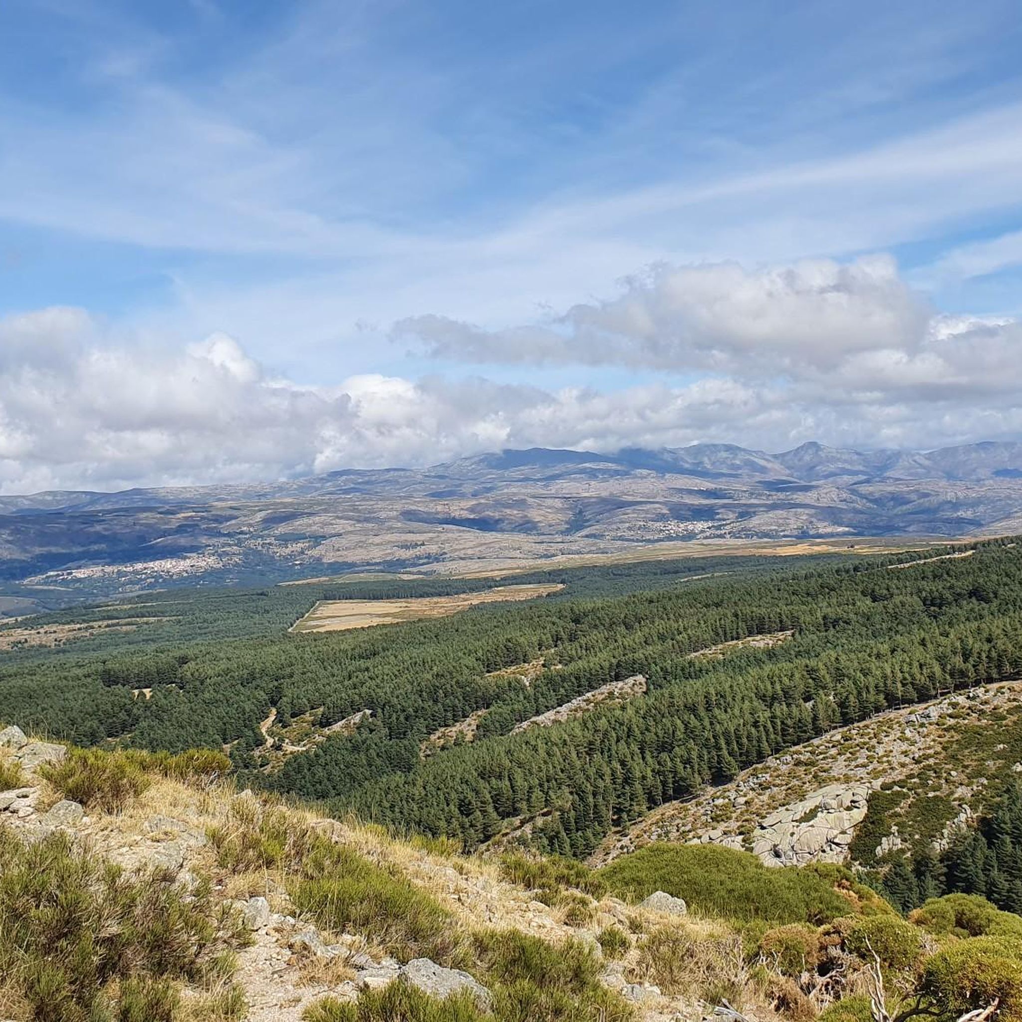
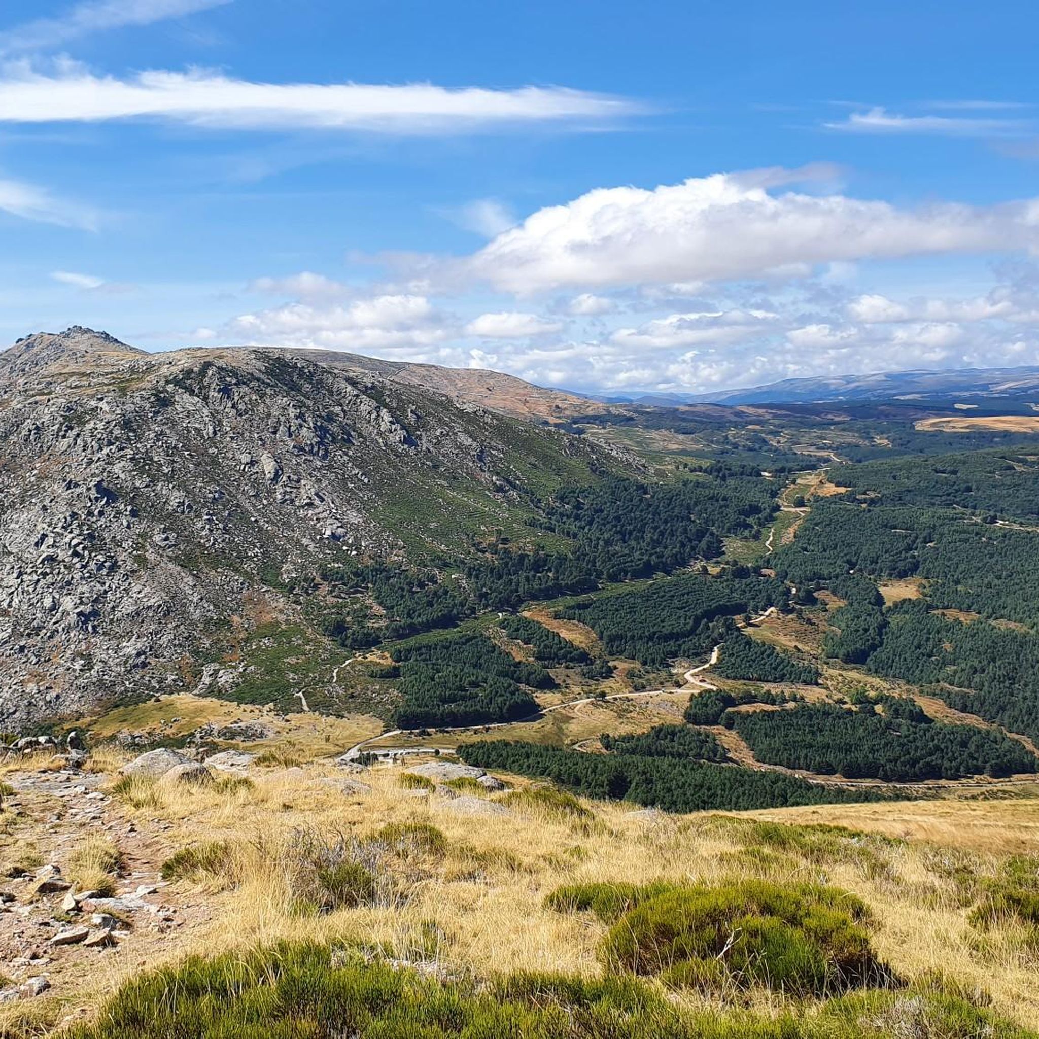
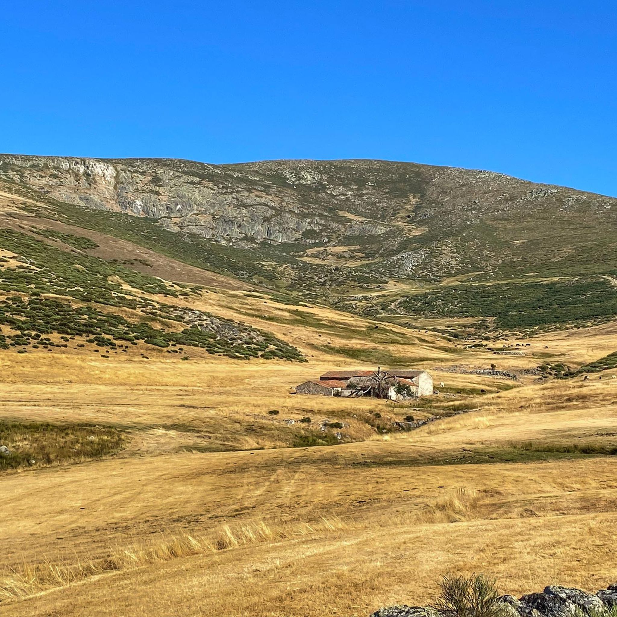
Hiking trails in Espacio Natural De Las Sierras De La Paramera Y Serrota traverse a landscape characterized by mountain ranges and elevated terrain. The region features prominent peaks and deep valleys, offering varied elevation changes across its routes. This natural park in Ávila presents a mix of open mountain vistas and areas with natural vegetation, providing diverse environments for outdoor activities.
Best hiking trails in Espacio Natural De Las Sierras De La Paramera Y Serrota
- The most popular hiking route…
Last updated: July 5, 2026
9
hikers
20.0km
06:32
920m
920m
Hard hike. Very good fitness required. Easily-accessible paths. Suitable for all skill levels.
5.0
(2)
34
hikers
8.55km
03:15
580m
580m
Moderate hike. Good fitness required. Easily-accessible paths. Suitable for all skill levels.

Sign up for free
5
hikers
15.1km
05:09
800m
790m
Hard hike. Very good fitness required. Easily-accessible paths. Suitable for all skill levels.
5.0
(1)
3
hikers
15.1km
04:59
690m
690m
Moderate hike. Good fitness required. Easily-accessible paths. Suitable for all skill levels.
4.0
(2)
21
hikers
14.9km
04:53
750m
750m
Hike the moderate 9.3-mile Pico Zapatero Circular Trail, gaining 2461 feet for panoramic views of the Sierra de Guadarrama and Gredos.
Get access to more routes and recommendations from other explorers.
Sign up for free
Already have an account?
Our route recommendations are based on thousands of hikes, rides, and runs completed by other people on komoot.
Start today with a free account
Your next adventure awaits.
Login or Signup
Popular around Espacio Natural De Las Sierras De La Paramera Y Serrota
Road Cycling Routes in Espacio Natural De Las Sierras De La Paramera Y Serrota
MTB Trails in Espacio Natural De Las Sierras De La Paramera Y Serrota
Running Trails in Espacio Natural De Las Sierras De La Paramera Y Serrota
Cycling in Espacio Natural De Las Sierras De La Paramera Y Serrota

Gravel biking in Espacio Natural De Las Sierras De La Paramera Y Serrota
Tips from the Community

The Collado de la Honda is the final part of an old glacier that ends at this point. The glacier is the result of ancient times when the glacial movements were more southern and this is an example of how in this area of the middle of the Meseta there were.
1
0
The Serrota is a mountain that reaches 2,292 meters in height, which means that you need to watch the time of its ascent, where the snow covers the area completely with low temperatures.
1
0

In the final stretch of the ascent, milestones appear in several places and the best option is to find the optimal path according to the moment, the mountain conditions and personal taste. The geodesic vertex is visible long before you arrive, it is placed on a tower of rocks and the views are extraordinary, practically covering the entire Central System, from the Sierra de Guadarrama to the peaks of Las Batuecas and the distant Sierra de Gata. Below the channels that form the sources of Corneja and Adaja and a little further on is the valley of the highest Alberche, when it is not yet a river in the páramos of San Martín de la Vega del Alberche.
0
0
The path runs along the slopes of the mountain range and descends to the spectacular pass of Portacho del Cuchillo, below the impressive mass of spurs, towers and channels of Peña Cabrera. At the pass you have to pass the gate of a livestock lane and go to the south slope. The path begins the descent directly through the head of the Cuchillo Ravine, passing at the foot of the striking Risco del Cuchillo boat, one of the most unique geological formations in the Zapatero massif.
1
0
The unique granite landscape is the result of the mineral composition, climatic changes and the weathering of the rock surfaces, giving rise to suggestive modeling forms. The most striking process is the slabs, the boats, the corridors and alleys and the granular disintegration, creating an authentic labyrinth of stone sculptures. To the west, at the headwaters of the Adaja River, the white reliefs of La Serrota emerge. The path follows the ridge and collides with the top pyramid of Zapatero in a clear hill where the ascent to the top begins on the southwest face. The ascent is marked with stone milestones. The ice and the amount of snow will determine the technical level of the ascent. First there is a rocky step to a wide and comfortable shoulder, where the final attack begins through a channel that leads to the access passage to the geodesic vertex through a kind of tunnel. The views from the top of the remaining section of the rope are breathtaking between large granite domes and giant speedboats, but it is actually easier than the previous section and almost all descent. The descent of the peak is along the east face, to a pass where the Path of Zapatero climbs from the left from Sotalvo.
2
0

Canchal between Pico Zapatero and Risco del Sol
1
0
Frequently Asked Questions
How many hiking trails are available in Espacio Natural De Las Sierras De La Paramera Y Serrota?
The region offers a diverse network of over 18 hiking trails. These routes vary in difficulty, providing options for different experience levels.
Are there easy hiking routes suitable for beginners in the area?
Yes, Espacio Natural De Las Sierras De La Paramera Y Serrota features 3 easy hiking routes. These trails are generally shorter and have less elevation gain, making them ideal for beginners or those seeking a relaxed walk.
What kind of terrain can I expect on the hiking trails?
The trails traverse a landscape characterized by mountain ranges and elevated terrain. You can expect prominent peaks, deep valleys, and varied elevation changes, offering a mix of open mountain vistas and areas with natural vegetation.
Are there any circular hiking routes in Espacio Natural De Las Sierras De La Paramera Y Serrota?
Yes, many routes in the area are circular. For example, the Pico Zapatero loop from Fuente de Aguas is a moderate 5.3-mile (8.6 km) path offering a circular journey with views of the surrounding mountains. Another option is the Pico Zapatero Circular Trail.
What are some notable natural attractions or viewpoints along the trails?
Hikers can discover several natural attractions. You might encounter Pico Zapatero, a prominent summit, or the scenic Portacho del Cuchillo mountain pass. The Serrota summit also offers expansive views.
Can I hike with my dog in Espacio Natural De Las Sierras De La Paramera Y Serrota?
Generally, dogs are welcome on trails in natural parks in Spain, but it's always best to keep them on a leash, especially in areas with livestock or wildlife. Please respect local regulations and ensure your dog is well-behaved and doesn't disturb the natural environment.
What is the best time of year to go hiking in this region?
The best time to hike in Espacio Natural De Las Sierras De La Paramera Y Serrota is typically during spring (April-June) and autumn (September-October). During these seasons, the weather is milder, and the landscapes are particularly beautiful, with blooming flora or vibrant fall colors. Summers can be hot, and winters may bring snow to higher elevations.
Are there any challenging hikes for experienced trekkers?
Yes, the region offers 4 difficult routes for experienced hikers. An example is the Cerro del Santo – Serrota loop from Cepeda la Mora, a 9.8-mile (15.8 km) trail with notable ascents, often completed in about 5 hours 23 minutes.
What do other hikers say about the trails in Espacio Natural De Las Sierras De La Paramera Y Serrota?
The area is highly rated by the komoot community, with an average score of 4.5 stars from over 10 reviews. Hikers often praise the varied terrain, the stunning mountain vistas, and the sense of tranquility found on the trails.
Are there any specific points of interest or villages to explore near the hiking routes?
Yes, the charming village of Cepeda la Mora serves as a common starting point for several routes, including the Ascent to La Serrota — circular from Cepeda de la Mora. Exploring these local settlements can add to your hiking experience.
What is the typical duration for a moderate hike in the region?
Moderate hikes in Espacio Natural De Las Sierras De La Paramera Y Serrota can vary. For instance, the Pico Zapatero – Portacho del Cuchillo loop from El Collado is a moderate 9.3-mile (15 km) route that typically takes around 5 hours to complete.
Most popular routes in Espacio Natural De Las Sierras De La Paramera Y Serrota
Most popular attractions in Espacio Natural De Las Sierras De La Paramera Y Serrota

Get inspired with the komoot mobile app


Explore more
Browse the best Hikes in other regions.
