The best running trails in Vía Parque Isla De Salamanca
3.0
(1)
84
runners
14
runs
Jogging in Vía Parque Isla De Salamanca offers a unique experience within a UNESCO Biosphere Reserve, characterized by its extensive mangrove forests, wetlands, and coastal areas along the Magdalena River Delta. The region features diverse ecosystems, including tropical dry forests, providing varied natural backdrops for running. Accessible roads and established trails, such as those around the lagoon complex, make it suitable for exploring the park's natural beauty on foot. This environment provides a serene setting for runners to observe diverse…
Last updated: July 4, 2026
19
runners
10.6km
01:06
20m
20m
Moderate run. Good fitness required. Mostly paved surfaces. Suitable for all skill levels.
4
runners
5.60km
00:35
10m
10m
Moderate run. Good fitness required. Mostly paved surfaces. Suitable for all skill levels.

Sign up for free
9
runners
4.99km
00:31
20m
20m
Easy run. Great for any fitness level. Mostly paved surfaces. Suitable for all skill levels.
15
runners
12.7km
01:20
110m
110m
Moderate run. Good fitness required. Mostly paved surfaces. Suitable for all skill levels.
4
runners
12.2km
01:17
110m
110m
Moderate run. Good fitness required. Mostly paved surfaces. Suitable for all skill levels.
Get access to more routes and recommendations from other explorers.
Sign up for free
Already have an account?
Our route recommendations are based on thousands of hikes, rides, and runs completed by other people on komoot.
Start today with a free account
Your next adventure awaits.
Login or Signup
Popular around Vía Parque Isla De Salamanca

Frequently Asked Questions
How many running routes are available in Vía Parque Isla De Salamanca?
There are over 15 dedicated running routes in Vía Parque Isla De Salamanca, ranging in difficulty from easy to difficult. Most of these, 14 to be exact, are considered moderate, offering a good balance for various fitness levels.
What kind of terrain can I expect on the jogging trails in Vía Parque Isla De Salamanca?
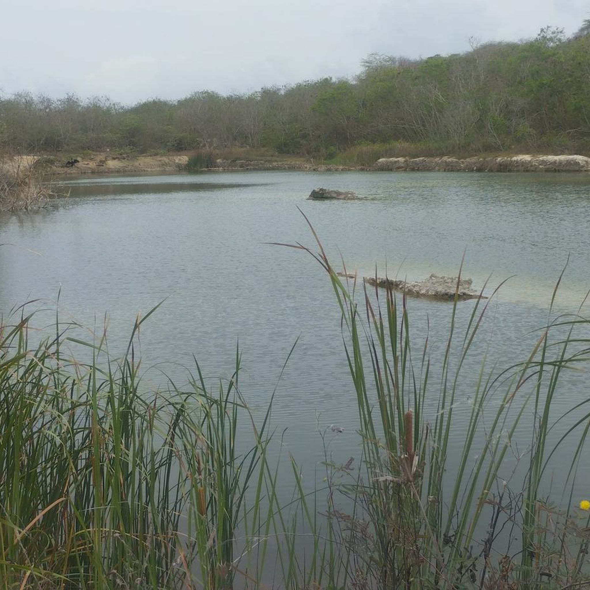
The terrain in Vía Parque Isla De Salamanca is unique, characterized by extensive mangrove forests, coastal lagoons, and wetlands. You'll find trails that wind through these vital ecosystems, offering a mix of natural paths and accessible roads. Some areas also feature tropical dry forests, providing varied natural backdrops for your run.
Are there any easy running routes for beginners in Vía Parque Isla De Salamanca?
Yes, there is at least one easy running route available, perfect for beginners or those looking for a relaxed jog. While most routes are moderate, you can find options that allow you to enjoy the park's natural beauty without significant challenge.
What are some typical distances and durations for running routes in the park?
Running routes in Vía Parque Isla De Salamanca vary. For instance, a moderate route like the Running loop from Malecón del Río: Sector Puerta de Oro covers about 5.6 km and takes around 35 minutes. Longer routes, such as the Running loop from Vive Río (Construccion), can be up to 13 km, taking over an hour to complete.
What kind of wildlife can I expect to see while running in Vía Parque Isla De Salamanca?
Vía Parque Isla De Salamanca is a UNESCO Biosphere Reserve and a haven for wildlife, especially birds. It's known as an "international airport" for migratory birds, boasting 199 species. You might also spot diverse aquatic life in the lagoons, and if you're lucky, even manatees during boat tours. The mangrove forests themselves are teeming with unique flora and fauna.
Are there any scenic viewpoints or landmarks along the running routes?
The park offers several scenic spots, particularly along trails that provide views of the mangrove forests and coastal lagoons. There is an interpretative trail with a viewpoint specifically designed for birdwatching, allowing you to pause and appreciate the diverse avian life and the unique landscape where the Magdalena River meets the Caribbean Sea.
What is the best time of year to go running in Vía Parque Isla De Salamanca?
The park generally experiences a warm climate, with average temperatures between 28 and 30 °C. While running is possible year-round, it's always best to check local weather forecasts. Early mornings or late afternoons are often preferred to avoid the peak heat, and staying hydrated is crucial.
What should I pack or consider when planning a run in Vía Parque Isla De Salamanca?
Given the warm climate, it's essential to wear appropriate, lightweight clothing and comfortable footwear. Staying hydrated is critical, so carry enough water. Due to the natural environment, insect repellent is highly recommended. Consider bringing binoculars if you're interested in birdwatching.
Is Vía Parque Isla De Salamanca suitable for family-friendly running or walks?
Yes, the park's established trails, often referred to as "senderos," are suitable for walking and exploring the lagoon complex, making it a good option for families. The interpretative trails offer an educational and engaging experience for all ages, though supervision is always advised in natural settings.
Are there any circular running routes available?
Many of the routes in Vía Parque Isla De Salamanca are designed as loops, offering circular paths that bring you back to your starting point. For example, the Running loop from Localidad Norte - Centro Histórico is a popular circular route, allowing you to experience varied scenery without retracing your steps.
How can I access Vía Parque Isla De Salamanca, and is there parking available?
The park is traversed by the "Vía Parque" (Road Park), which connects Santa Marta with Barranquilla, making it accessible by road. While the main road carries traffic, designated trails are available within the park. For specific parking facilities, it's advisable to check with the park administration or visitor centers upon arrival, as information can vary.
Most popular routes in Vía Parque Isla De Salamanca

Get inspired with the komoot mobile app


Explore more
Browse the best Running Trails & Routes in other regions.
