The best MTB trails in Vía Parque Isla De Salamanca
5.0
(13)
33
riders
4
rides
Mountain biking in Vía Parque Isla De Salamanca focuses on routes in the surrounding coastal areas and river deltas, as the park itself is a protected ecological zone not authorized for high-impact sports. The region is characterized by its proximity to the Caribbean Sea and the Magdalena River, offering a mix of flat coastal paths and routes with moderate elevation changes. Terrain often includes sandy sections, unpaved roads, and some paved stretches connecting local towns. The landscape features a blend…
Last updated: July 4, 2026
5.0
(12)
25
riders
43.8km
02:40
360m
360m
Moderate mountain bike ride. Good fitness required. Suitable for all skill levels.
2
riders
72.8km
05:05
880m
880m
Hard mountain bike ride. Very good fitness required. Suitable for all skill levels.

Sign up for free
2
riders
39.0km
02:15
330m
330m
Moderate mountain bike ride. Good fitness required. Suitable for all skill levels.
5.0
(1)
2
riders
28.1km
01:40
290m
290m
Easy mountain bike ride. Great for any fitness level. Suitable for all skill levels.
2
riders
Moderate mountain bike ride. Good fitness required. Suitable for all skill levels.
Our route recommendations are based on thousands of hikes, rides, and runs completed by other people on komoot.
Start today with a free account
Your next adventure awaits.
Login or Signup

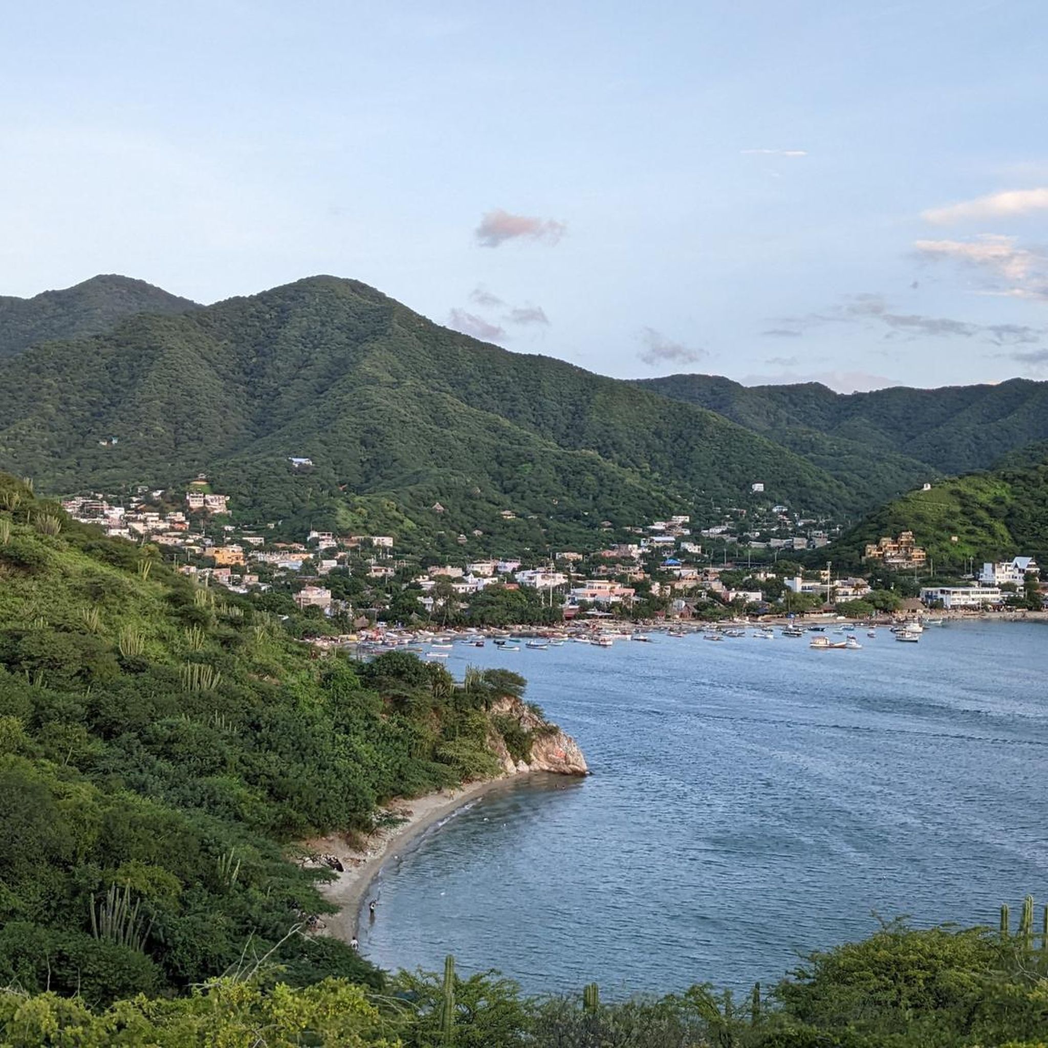
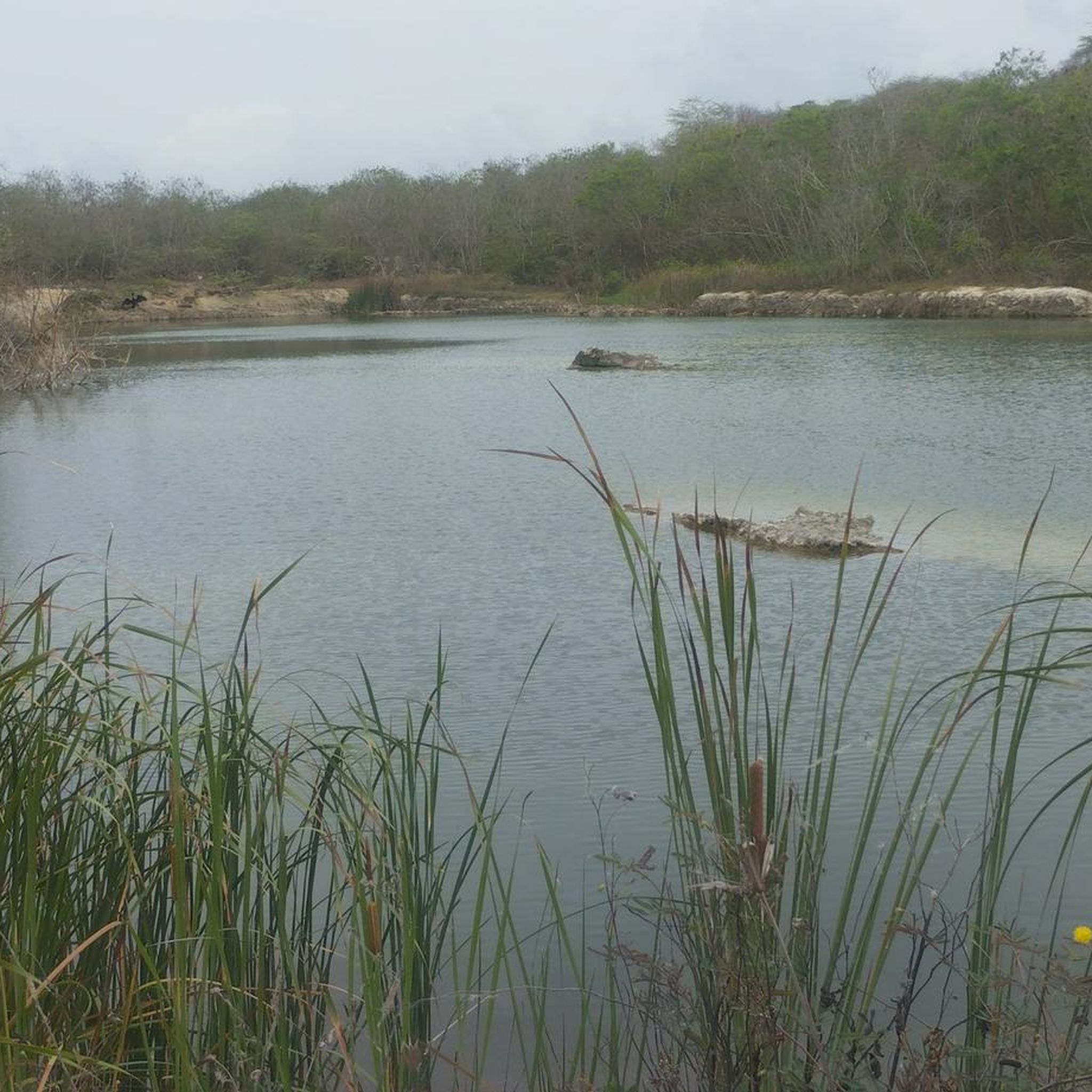
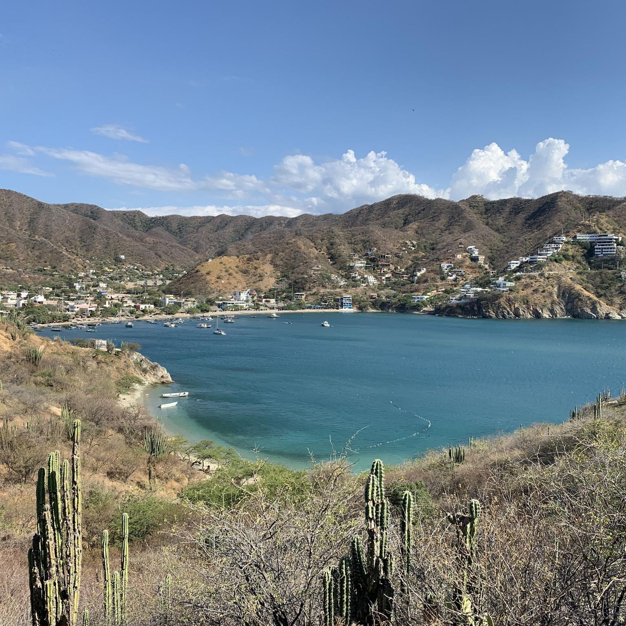
Tips from the Community

On this route in the tropical dry forest you encountrer very few people. Experience this unique hábitat.
0
0

Everything about https://xtremenailspallc.info/ this works perfectly.
0
0


Good training route and nice viewpoint
1
0

The castle of San Antonio de Salgar is one of the tourist sites in Barranquilla, cataloged as heritage and cultural asset of the nation. The sunrise and sunset are spectacular in this place.
0
0
Requires moderate technique, stretches of loose sand, and a steep descent from the Sergio Arboleda side
0
0
It does not require much technique, some small areas of loose sand, enjoy the landscape.
0
0
Frequently Asked Questions
How many mountain bike trails are available in Vía Parque Isla De Salamanca?
There are 5 mountain bike trails documented in Vía Parque Isla De Salamanca, offering a range of difficulties from easy to difficult. These routes are primarily located in the surrounding coastal areas and river deltas, as the park itself is a protected ecological zone.
What is the typical terrain like for mountain biking in this region?
The terrain for mountain biking in the Vía Parque Isla De Salamanca region often includes sandy sections, unpaved roads, and some paved stretches connecting local towns. You'll find a mix of flat coastal paths and routes with moderate elevation changes, reflecting its proximity to the Caribbean Sea and the Magdalena River.
Are there easy mountain bike trails suitable for beginners or families?
Yes, there is one easy mountain bike trail available. The Elbow loop from Estadio Romelio Martínez is a 17.5-mile (28.1 km) route that is generally completed in under 2 hours, making it a good option for those looking for a less challenging ride.
Are there challenging mountain bike trails for experienced riders?
Yes, for experienced riders seeking a challenge, there are two difficult trails. The San Francisco Trail – Castillo de Salgar loop from Barranquilla is a 45.0-mile (72.4 km) path with significant elevation gain. Another difficult option is the Pital de Megua Square – Pital de Megua–Tubará Trail loop from Shakira Sculpture, covering 42.1 miles (67.8 km).
Are there any circular mountain bike routes in the area?
All mountain bike routes in this guide are circular loops. For example, the popular Lake in Barranquilla – Puerto Climb loop from Barranquilla offers coastal views and inland riding, while the Elbow loop from Barranquilla leads through coastal plains and local communities.
What points of interest or attractions can I see while mountain biking?
While the Vía Parque Isla De Salamanca is primarily known for its rich biodiversity, including extensive mangrove forests and diverse bird species, mountain biking routes outside the core conservation zones offer views of coastal landscapes and local communities. The park itself is a Ramsar Site and UNESCO Biosphere Reserve, highlighting its ecological significance. The "Vía Parque" highway also allows observation of mangroves and beaches.
Is parking available for mountain bikers near the trails?
Specific parking information for individual trailheads is not detailed in the guide. However, given that many routes start from Barranquilla, you would typically find parking options within or on the outskirts of the city, or at designated points along the main roads leading to the trail access points. It's advisable to check local parking availability for your chosen starting location.
How can I get to Vía Parque Isla De Salamanca by public transport?
The Vía Parque Isla De Salamanca is traversed by a highway connecting Santa Marta with Barranquilla, making it accessible by intercity buses or local transport services that travel this route. For specific access points to mountain bike trails, especially those starting from Barranquilla, local bus services or taxis within the city would be the most practical options.
Do I need a permit to mountain bike in Vía Parque Isla De Salamanca?
Vía Parque Isla De Salamanca is a protected national park. While mountain biking is generally focused on areas outside the core conservation zones, it is crucial to respect park regulations. For specific information on permissible routes and any required permits for activities within or adjacent to the park, it is recommended to consult the official park authority, Parques Nacionales Naturales de Colombia. You can find more information on their website: Parques Nacionales Naturales de Colombia.
What is the best time of year to go mountain biking in this region?
The Caribbean region of Colombia, where Vía Parque Isla De Salamanca is located, generally experiences a tropical climate. The dry season, typically from December to April, offers more stable weather conditions with less rain and lower humidity, which can be ideal for mountain biking. The wet season, from May to November, might bring more challenging trail conditions due to rain.
What do other mountain bikers say about the trails in Vía Parque Isla De Salamanca?
The mountain biking routes in Vía Parque Isla De Salamanca are highly rated by the komoot community, with an average score of 5.0 stars from over 15 reviews. Riders often praise the varied terrain, which includes coastal paths and river delta landscapes, and the options available for different ability levels.
Are there places to eat or drink near the mountain bike trails?
Given that many of the mountain bike routes start from or pass near Barranquilla and other local communities, you will find various options for food and drink. These can range from small local eateries and cafes in towns to more established restaurants in Barranquilla, offering opportunities to refuel before or after your ride.
Most popular routes in Vía Parque Isla De Salamanca

Get inspired with the komoot mobile app


Explore more
Browse the best MTB trails in other regions.
