The best running trails in Boscaglie Di Tasso Di Giaglione
4.4
(9)
838
runners
45
runs
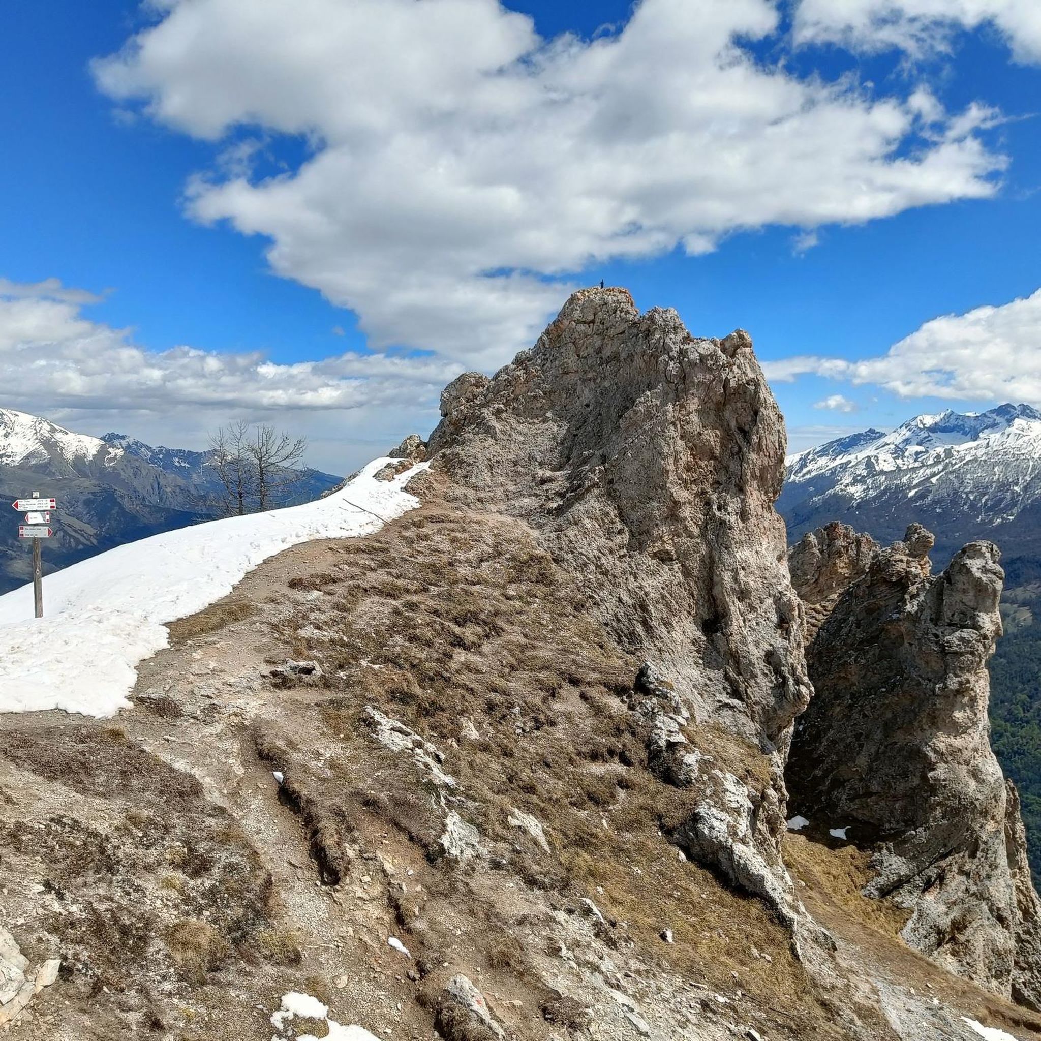
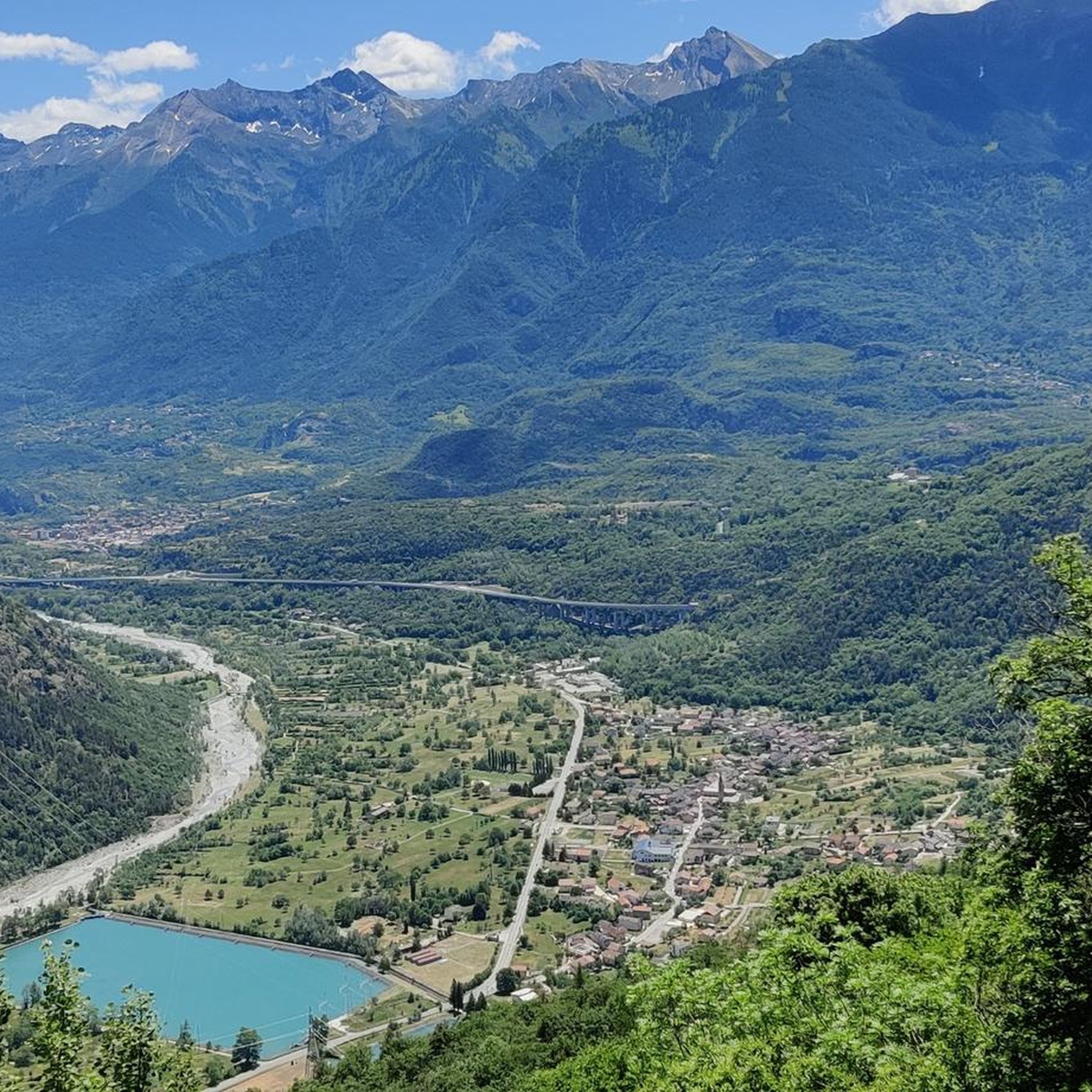
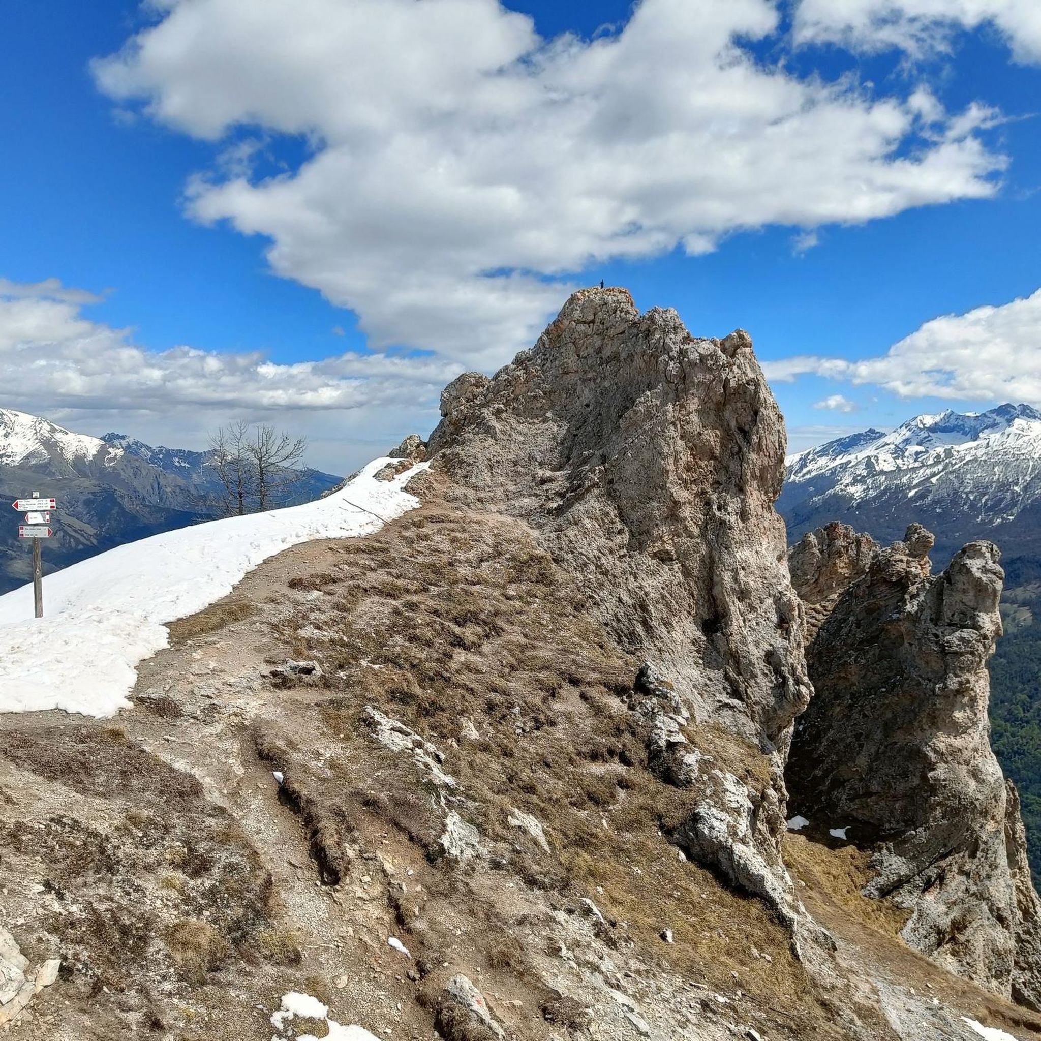
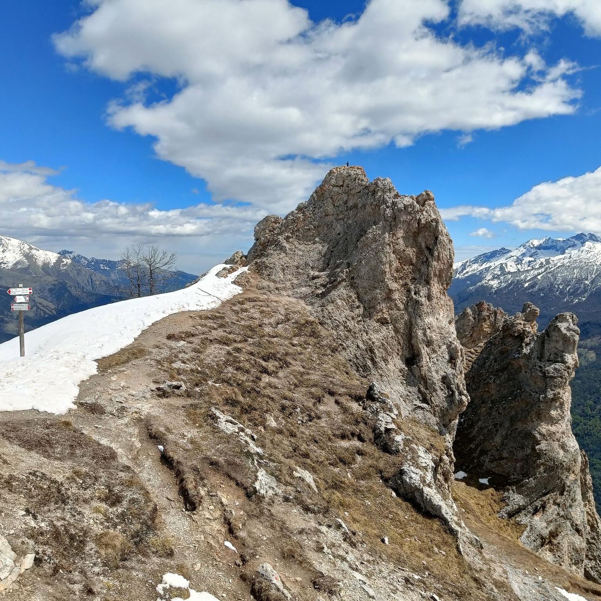
Jogging in Boscaglie Di Tasso Di Giaglione offers a unique experience within the Val Clarea, a tributary of Val di Susa, characterized by its largely undisturbed natural environment. The landscape features diverse terrain, including herbaceous communities on upper slopes, seasonal waterfalls, and rich forest vegetation at lower elevations. Joggers will encounter rocky formations and varied geological compositions, providing a dynamic and engaging experience. This area is recognized for its ecological significance and offers a tranquil setting for running.
Best jogging…
Last updated: November 1, 2026
11
runners
10.5km
02:30
1,070m
1,070m
Hard run. Very good fitness required. Sure-footedness, sturdy shoes and alpine experience required.
7
runners
11.3km
01:25
490m
490m
Hard run. Very good fitness required. Sure-footedness, sturdy shoes and alpine experience required.

8
runners
10.8km
01:15
260m
260m
Hard run. Good fitness required. Sure-footedness, sturdy shoes and alpine experience required.
4.0
(1)
4
runners
6.00km
00:43
140m
140m
Hard run. Good fitness required. Sure-footedness, sturdy shoes and alpine experience required.
4
runners
5.46km
00:41
170m
170m
Hard run. Good fitness required. Sure-footedness, sturdy shoes and alpine experience required.
Get access to more routes and recommendations from other explorers.
Already have an account?
Our route recommendations are based on thousands of hikes, rides, and runs completed by other people on komoot.
Start today with a free account
Your next adventure awaits.
Popular around Boscaglie Di Tasso Di Giaglione

Tips from the Community

From Bar Cenisio you can reach it via a difficult trail classified EEA, or via a comfortable dirt road in just over an hour. You can also get there by car, in fact the dirt road seemed to be in good condition
0
0
Lake easily reachable as it is located next to a drivable road connecting Bar Cenisio to the Moncenisio lake
0
0

beautiful, peaceful alpine lake, also reachable by car from Bar Cenisio.
0
0

small but wonderful, an absolute must-see!
0
0

A lake just below the town of Ferrera-Moncenisio, nestled in the greenery. Very beautiful.
0
0
A small lake just below Ferrera-Moncenisio, nestled among the woods. Very picturesque.
0
0

Beautiful spot to take a breather after the arduous climb from Novalesa.
0
0

The first lake you meet starting from the path after Bar Cenisio towards Lago del Moncenisio
0
0
Frequently Asked Questions
How many running routes are available in Boscaglie Di Tasso Di Giaglione?
There are over 35 dedicated running routes in Boscaglie Di Tasso Di Giaglione, offering a wide range of options for different skill levels and preferences.
What kind of terrain can I expect when jogging in Boscaglie Di Tasso Di Giaglione?
The terrain is quite diverse, featuring herbaceous communities on upper slopes, rocky formations, and rich forest vegetation at lower elevations. You'll encounter both ascents and descents, providing a dynamic and engaging experience for trail runners.
Are there any easy running routes suitable for beginners in Boscaglie Di Tasso Di Giaglione?
Yes, while many routes are challenging, there is at least one easy running route available. The area's varied topography ensures options for all abilities, including those new to trail running.
Are there challenging running routes for experienced runners in Boscaglie Di Tasso Di Giaglione?
Absolutely. The region is known for its more demanding trails, with over 20 routes classified as difficult. These often feature significant elevation gains and varied landscapes, such as the Cima Quattro Denti loop from Chiomonte.
Can I find running routes with scenic views or natural landmarks?
Yes, Boscaglie Di Tasso Di Giaglione offers numerous scenic views. The landscape includes rocky ledges, unique flora like yew and holly thickets, and the broader natural surroundings of Val Clarea. Routes like the Grand Lac de Moncenisio – Lago Grande loop from Novalesa lead through beautiful lake areas.
Are there any running routes that pass by waterfalls?
Yes, the area is characterized by numerous seasonal waterfalls that carve through narrow valleys, especially in the upper slopes. While specific routes aren't named for waterfalls, many trails will offer glimpses of these refreshing natural features, particularly during wetter seasons.
What do other runners say about the jogging routes in Boscaglie Di Tasso Di Giaglione?
The routes in Boscaglie Di Tasso Di Giaglione are highly rated by the komoot community, with an average score of 4.6 stars from over 7 reviews. Runners often praise the tranquil, undisturbed natural environment and the varied topography that provides a rewarding workout.
Are there any circular running routes in the area?
Yes, many of the running paths in Boscaglie Di Tasso Di Giaglione are designed as loops. For example, the Lake Arpone – Lake Roterel loop from Bar Cenisio is a popular circular path that navigates through alpine lakes.
Is Boscaglie Di Tasso Di Giaglione suitable for family-friendly running or walking?
While the area offers diverse terrain, many routes are quite challenging. However, the tranquil environment and natural beauty can be enjoyed by families. It's best to check individual route descriptions for difficulty and length to find paths suitable for all family members.
What is the best time of year to go running in Boscaglie Di Tasso Di Giaglione?
The diverse terrain and seasonal waterfalls suggest that spring and autumn might offer the most pleasant conditions, with lush greenery and active waterfalls. Summer can also be excellent, especially at higher elevations, but always check local weather conditions before heading out.
Are dogs allowed on the running trails in Boscaglie Di Tasso Di Giaglione?
Boscaglie Di Tasso Di Giaglione is a Site of Community Importance (SIC), highlighting its ecological significance. While specific regulations for dogs aren't provided, it's generally advisable to keep dogs on a leash to protect the unique flora and fauna of this protected area.
What is the typical length of running routes in Boscaglie Di Tasso Di Giaglione?
The running routes vary significantly in length. You can find shorter loops around 6 km, such as the Running loop from Venaus, up to longer, more challenging trails exceeding 11 km, like the Lake Arpone – Lake Roterel loop.
Are there any facilities like cafes or accommodation near the running routes?
Boscaglie Di Tasso Di Giaglione is known for its largely undisturbed natural environment with 'almost absent' excursionist traffic, which means facilities like cafes or dedicated accommodation directly on the trails are limited. You would likely find services in nearby towns such as Giaglione or Novalesa.
Most popular routes in Boscaglie Di Tasso Di Giaglione

Get inspired with the komoot mobile app


Explore more
Browse the best Running Trails & Routes in other regions.
