The best walks and hikes in Boscaglie Di Tasso Di Giaglione
4.4
(1775)
10,460
hikers
275
hikes
Hiking trails in Boscaglie Di Tasso Di Giaglione traverse a varied topography within the Val Clarea, a sub-region of Val di Susa. The landscape features upper slopes with herbaceous vegetation and rocky environments, interspersed with scree cones and seasonal waterfalls. Lower elevations are characterized by narrow valleys carved into gneiss and micaschist bedrock, alongside morainic deposits. The area also contains subalpine beech and alder forests, notably featuring rare high-shrub yew formations and sabine juniper.
Best hiking trails in Boscaglie Di Tasso Di Giaglione
- The most popular hiking route is Col du Clapier via Hannibal's Route (CAI Route 805), a 10.4 miles (16.7 km) trail that takes 8 hours 10 minutes to complete. This difficult route offers sustained climbs towards the border with French territory.
- Another top favourite among local hikers is In the Footsteps of Hannibal Trail, a difficult 10.6 miles (17.1 km) path. This trail follows a historic route, providing a challenging experience through diverse terrain.
- Local hikers also love the Historic military trail to Mont Cenis viewpoint (Route 582A), a 4.4 miles (7.1 km) trail leading through varied landscapes, often completed in about 3 hours 28 minutes.
- Hiking in Boscaglie Di Tasso Di Giaglione is defined by varied topography, subalpine forests, and rocky environments. The network offers options for different ability levels, from moderate paths to difficult ascents.
- The routes in Boscaglie Di Tasso Di Giaglione are highly rated by the komoot community with an average score of 4.5 stars from over 1,400 reviews. More than 9,000 hikers have used komoot to explore Boscaglie Di Tasso Di Giaglione's varied terrain.
Last updated: August 31, 2026
5.0
(5)
40
hikers
16.7km
08:10
1,410m
1,410m
Historic alpine pass where Hannibal likely crossed, offering sweeping views over the Po Valley and Turin.
5.0
(5)
33
hikers
17.1km
08:10
1,340m
1,340m
Hike the difficult 10.6-mile (17.1 km) "In the footsteps of Hannibal" trail, gaining 4401 feet to Col Clapier and Lac de Savine.

Sign up for free
5.0
(1)
12
hikers
7.06km
03:28
570m
570m
Historic military road through Piedmont Alps leading to panoramic views of Mont Cenis and Rocciamelone.
4.0
(2)
7
hikers
10.8km
05:44
1,030m
1,030m
Hard hike. Very good fitness required. Mostly accessible paths. Sure-footedness required.
4.0
(1)
9
hikers
Moderate hike. Good fitness required. Mostly accessible paths. Sure-footedness required.
Get access to more routes and recommendations from other explorers.
Sign up for free
Already have an account?
Our route recommendations are based on thousands of hikes, rides, and runs completed by other people on komoot.
Start today with a free account
Your next adventure awaits.
Login or Signup
Popular around Boscaglie Di Tasso Di Giaglione
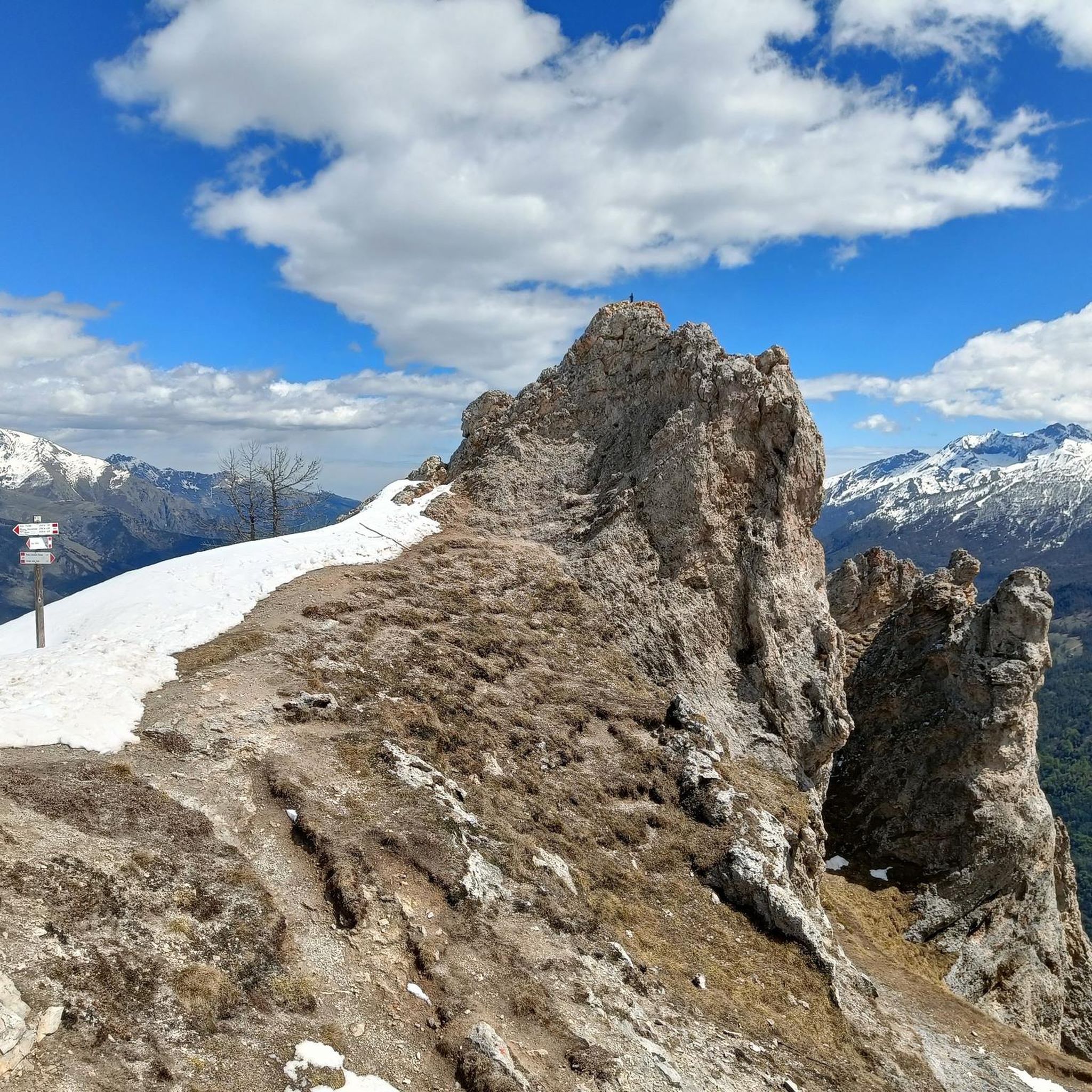
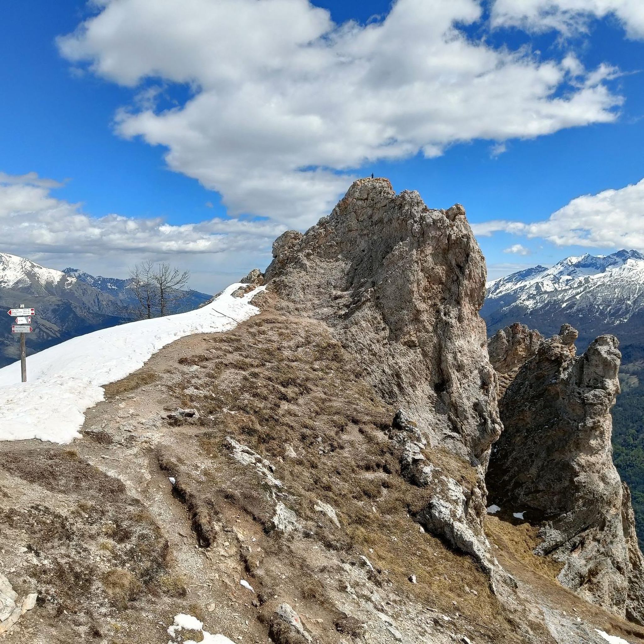
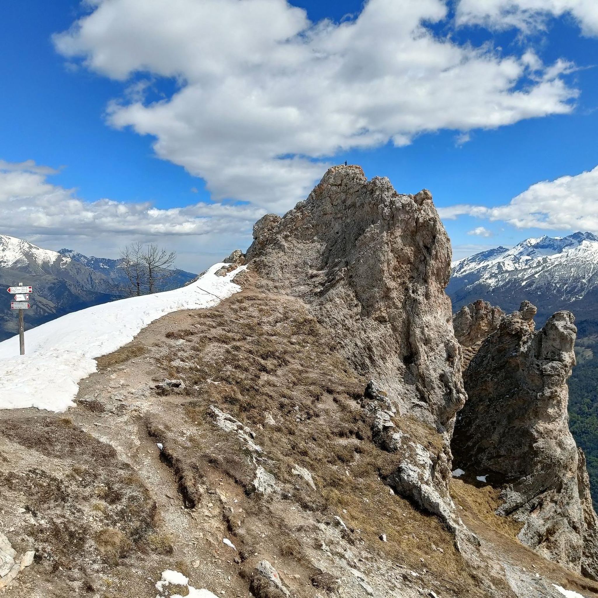

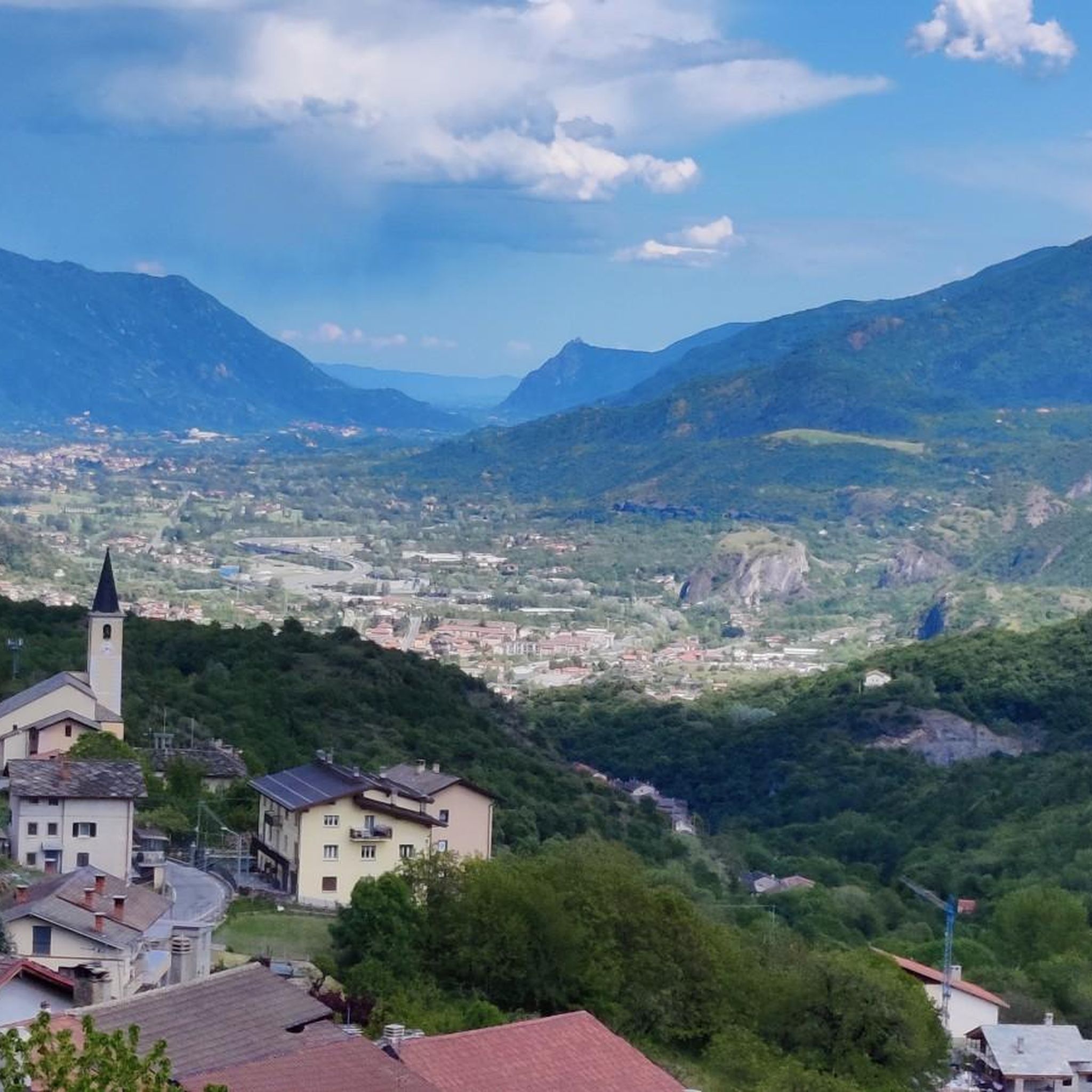
Tips from the Community

Very very windy, very very scenic with views of Susa
0
0

This bivouac crosses the border between Italy and France. It sleeps 7. We recommend arriving by lunchtime, as it's very popular (especially on weekends; we were once in a group of 15). There's minimal heating and some light thanks to solar panels.
0
0

This cross-border bivouac is located on Italian soil near Col Clapier, near the French border. The easiest way to reach it is from the Piccolo Moncenisio pass, and after Lake Savine, it's another half-hour's trail.
0
0

The Marzo granges, now in ruins, mark the end (or beginning, depending on the direction of travel) of the remarkable former military trail that connected the granges to Bar Cenisio. This trail, with its very regular layout, is one of the many testaments to the construction skills of the military "engineers" in the years between the two world wars and, despite the lack of maintenance, remains passable (even fun downhill on a mountain bike, S1-S2 with a couple of trickier sections). Following the trail uphill, just before reaching the granges, you'll notice the signpost, which seems to appear out of nowhere... shortly after, you'll come across a spectacular balcony, which offers a glimpse of the Mont Cenis and the entire ridge that leads from Lamet to Rocciamelone. To the right, you'll see the lower Susa Valley. It's an ideal place for a break, if it's not too windy; the only drawback is that there's no water. Following the signs for the Avanzà refuge and allowing about twenty minutes, you'll reach the center of a beautiful valley crossed by a stream. The descent to Pra Piano is steep but not difficult. Be careful only in case of thunderstorms, as this section is exposed to lightning!
0
0

Colle Clapier, located in the Cottian Alps, is a historic Alpine pass that connects Italy and France. At 2,491 meters above sea level, it offers breathtaking views and a route full of history, considered by some scholars to be one of the possible passages crossed by Hannibal during his famous crossing of the Alps.
1
0

Nice walk even if long to do on foot, but if you want you can do it by MTB, carrying the bike by hand in the last stretch
0
0

A new bivouac, built by the municipalities of Bramans and Giaglione (Turin) as part of the project called "On the trail of Hannibal", financed with funds from the ALCOTRA cross-border program, was inaugurated on 4 October 2014 near Colle Clapier ( 2477 m). The Clapier is probably considered the pass used by Hannibal to cross the Alps in 218 BC. Capacity for 8 people and minimally heated thanks to a solar panel
2
1
This panoramic peak made up of perhaps more than 4 teeth, or rather large pointed rocks similar to teeth, is clearly visible from the state road to Bardonecchia. The climb that passes through the pertus is quite easy, while the ring towards the white chapel is more challenging.
4
0
Frequently Asked Questions
What kind of terrain can I expect on hikes in Boscaglie Di Tasso Di Giaglione?
The terrain in Boscaglie Di Tasso Di Giaglione is quite varied. You'll find upper slopes with herbaceous vegetation and rocky environments, often interspersed with scree cones. Lower down, intense water erosion has carved narrow valleys into gneiss and micaschist bedrock, with morainic deposits at the lowest elevations. Forested areas feature subalpine beech and alder, along with unique high-shrub yew formations.
Are there any easy hiking trails suitable for beginners in Boscaglie Di Tasso Di Giaglione?
Yes, there are options for beginners. Out of the 259 available routes, 28 are classified as easy. While specific easy routes aren't highlighted in the intro, you can find them by filtering for difficulty on komoot.
Can I find trails with waterfalls in Boscaglie Di Tasso Di Giaglione?
Yes, the region is characterized by numerous seasonal waterfalls, particularly in the higher altitudes where they carve through the rocky environments. These dynamic features add to the scenic beauty of the area.
What are the options for challenging hikes in the area?
For experienced hikers seeking a challenge, there are 103 difficult routes available. One notable difficult trail is Col du Clapier via Hannibal's Route (CAI Route 805), which is 10.4 miles (16.7 km) long and involves sustained climbs towards the French border.
Are there any circular walking routes in Boscaglie Di Tasso Di Giaglione?
Yes, you can find circular routes in the area. For example, the Four Teeth Peak loop from Val Clarea offers a challenging 10.8 km (6.7 miles) circular hike with significant elevation gain.
What kind of unique natural features can I see while hiking here?
Boscaglie Di Tasso Di Giaglione is known for its unique natural features. You can observe rare high-shrub yew (Taxus baccata) formations, which are uncommon in the region, often alongside alpine laburnum and holly. Localized stands of sabine juniper can also be found at forest edges and rocky outcrops.
Is Boscaglie Di Tasso Di Giaglione suitable for family-friendly hikes?
While many routes are moderate to difficult, there are 28 easy trails available that could be suitable for families. It's recommended to check individual route details on komoot for specific suitability regarding length, elevation, and terrain for children.
Are dogs allowed on the hiking trails in Boscaglie Di Tasso Di Giaglione?
Generally, dogs are welcome on hiking trails in Italy, but specific regulations can vary within protected areas. It's always best to keep dogs on a leash, especially in areas with wildlife or grazing animals, and to check for any local signage regarding pet restrictions.
What do other hikers say about the trails in Boscaglie Di Tasso Di Giaglione?
The trails in Boscaglie Di Tasso Di Giaglione are highly regarded by the komoot community, with an average rating of 4.5 stars from over 1,400 reviews. Hikers often praise the varied topography, the unique natural environment, and the sense of seclusion offered by the trails.
What is the best time of year to go hiking in Boscaglie Di Tasso Di Giaglione?
The best time to visit for hiking is typically during the warmer months, from late spring to early autumn, when trails are clear of snow and seasonal waterfalls are active. Winter hiking may be possible but requires appropriate gear and awareness of snow and ice conditions, especially at higher elevations.
Are there any historical routes to explore in the region?
Yes, the area has historical significance. You can hike the In the Footsteps of Hannibal Trail, a difficult 10.6 miles (17.1 km) path that follows a historic route. Another option is the Historic military trail to Mont Cenis viewpoint (Route 582A), offering a glimpse into the past through varied landscapes.
How many hiking routes are available in Boscaglie Di Tasso Di Giaglione?
There are over 250 hiking routes available in Boscaglie Di Tasso Di Giaglione, offering a wide range of options for different skill levels and preferences. Specifically, komoot lists 259 tours in the area.
Is public transport available to access the hiking trails?
Information on specific public transport links directly to trailheads within Boscaglie Di Tasso Di Giaglione is limited. It is generally recommended to check local bus schedules or consider driving to access the more secluded starting points in the Val Clarea and Val di Susa regions.
Are there any moderate difficulty hikes for those looking for a balanced challenge?
Absolutely. The majority of trails in Boscaglie Di Tasso Di Giaglione are classified as moderate, with 128 routes falling into this category. An example is the Waterfall – Hannibal's Route to the Plains loop from Mont d'Ambin Base Tunnel, which is 8.5 km (5.3 miles) long and offers a balanced challenge.
Most popular routes in Boscaglie Di Tasso Di Giaglione

Get inspired with the komoot mobile app


Explore more
Browse the best Hikes in other regions.
