The best cycling routes in Boscaglie Di Tasso Di Giaglione
4.5
(113)
5,519
riders
65
rides
Touring cycling in Boscaglie Di Tasso Di Giaglione features routes through a mountainous landscape, characterized by significant elevation changes and views of alpine lakes and historical structures. The region includes areas around Lake Mont Cenis and the Moncenisio Dam, offering varied terrain for cyclists. Routes often navigate through valleys and past notable landmarks like the Fort of Exilles.
Best touring cycling routes in Boscaglie Di Tasso Di Giaglione
- The most popular touring cycling route is View of Lake Mont Cenis…
Last updated: May 20, 2026
16
riders
25.4km
02:35
800m
800m
Hard bike ride. Very good fitness required. Mostly paved surfaces. Suitable for all skill levels.
4.0
(1)
1,396
riders
55.8km
03:49
910m
910m
Hard bike ride. Very good fitness required. Mostly paved surfaces. Suitable for all skill levels.

Sign up for free
4.0
(2)
37
riders
51.8km
03:40
880m
880m
Hard bike ride. Very good fitness required. Mostly paved surfaces. Suitable for all skill levels.
13
riders
22.0km
01:56
620m
620m
Hard bike ride. Very good fitness required. You may need to push your bike for some segments of this route.
3.0
(1)
24
riders
34.1km
02:32
670m
670m
Hard bike ride. Very good fitness required. Mostly paved surfaces. Suitable for all skill levels.
Get access to more routes and recommendations from other explorers.
Sign up for free
Already have an account?
Our route recommendations are based on thousands of hikes, rides, and runs completed by other people on komoot.
Start today with a free account
Your next adventure awaits.
Login or Signup
Popular around Boscaglie Di Tasso Di Giaglione
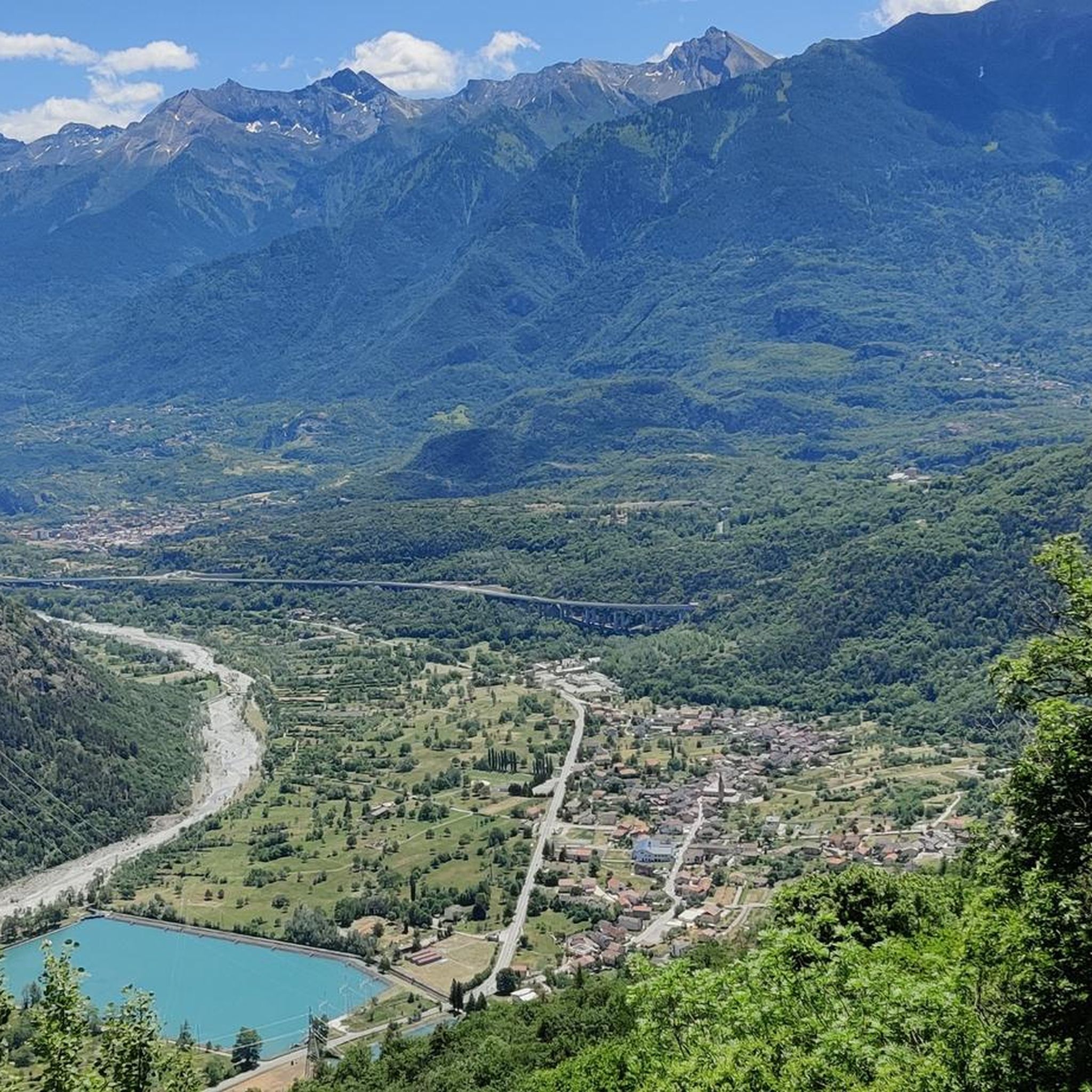
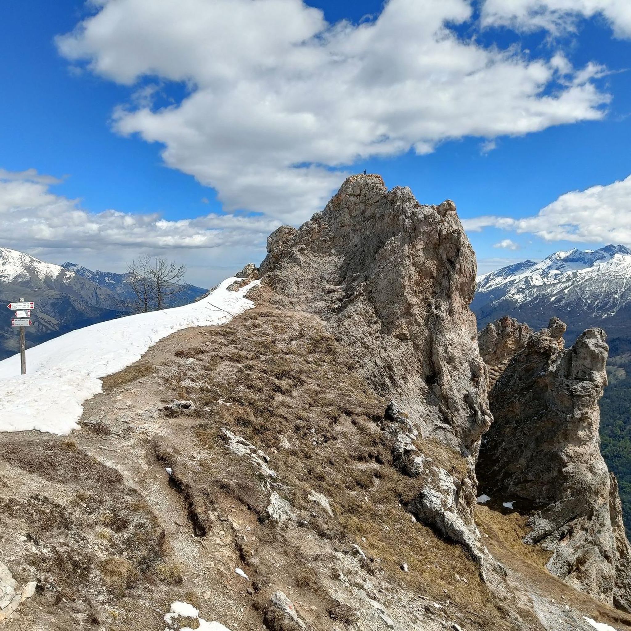
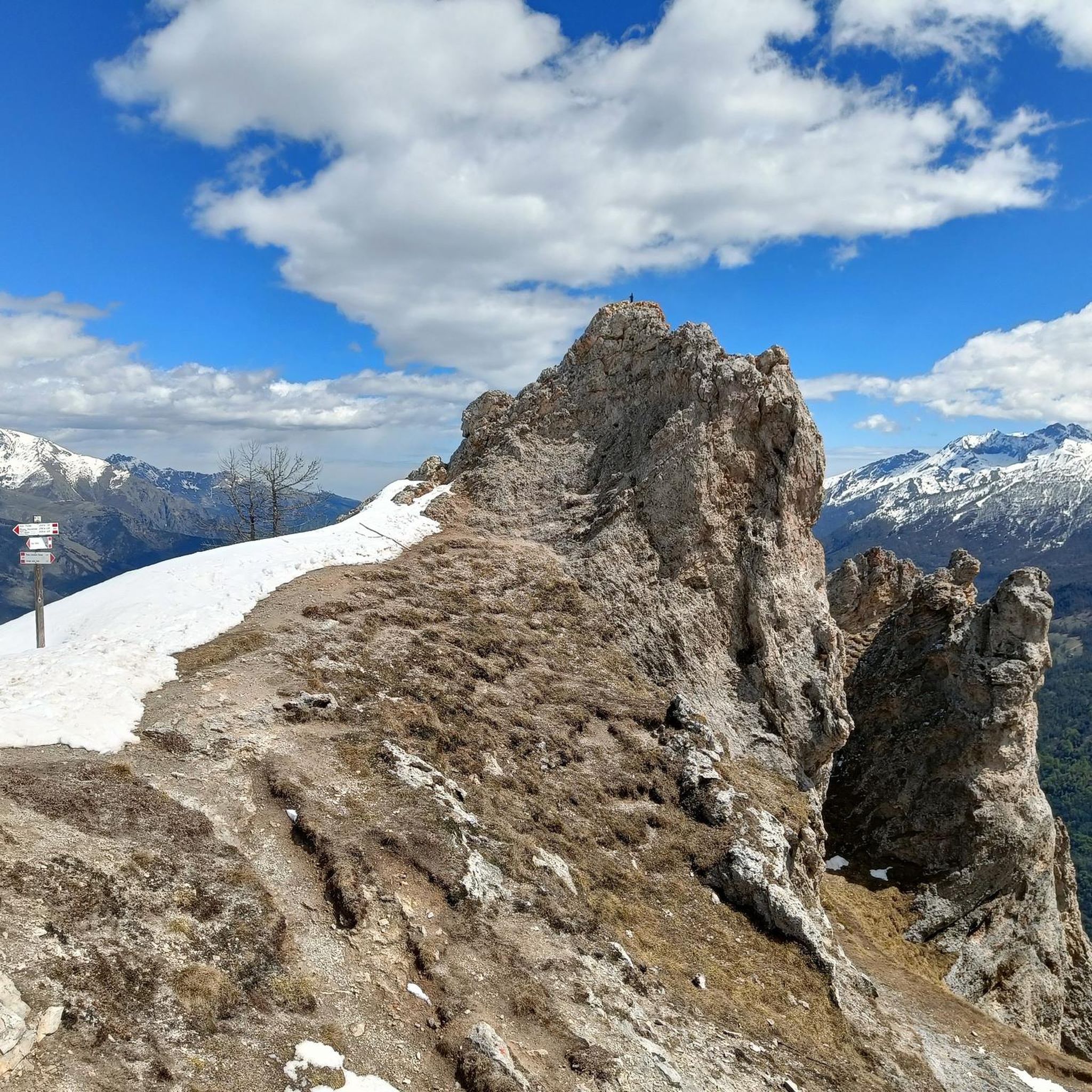

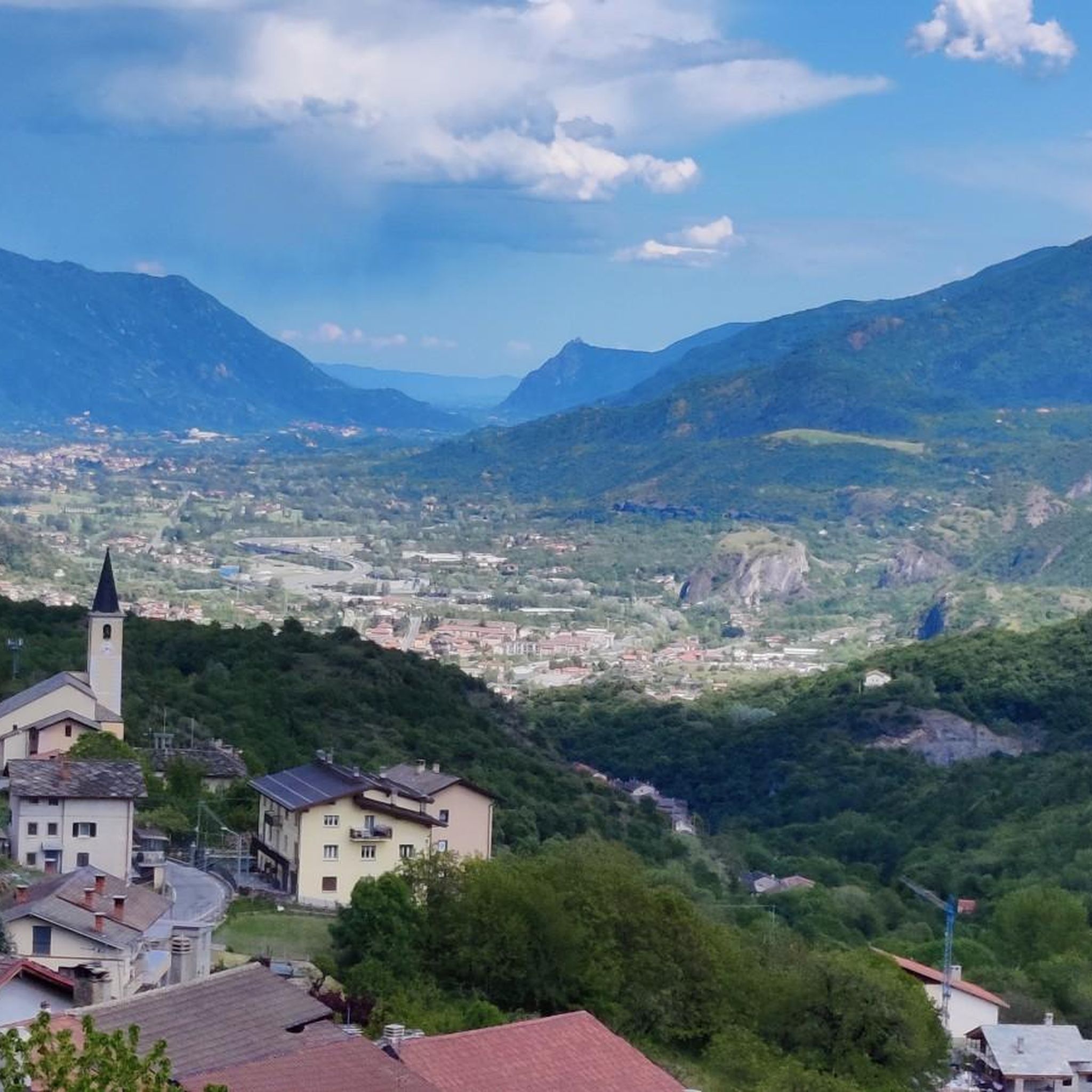
Tips from the Community

In the diary of his pilgrimage on the Way of St. James, which was published later, the German entertainer Hape (Hans-Peter) Kerkeling also writes about the meditative experience of praying the Rosary together, which he experienced himself in the “grandiose village church, which has the makings of a cathedral” of Castildelgado (Castile). Under the date June 21, 2001, he notes: “I simply must see the only tourist attraction in town! (…) She is all the more pleased that I want to see the jewel of Castildelgado and accompanies me inside. Our tour quickly ends in front of the altar, and so the woman asks me to take a seat in one of the wonderfully cool pews. Gradually, other people enter the church. The older lady begins to pray the rosary. The monotonous chanting has a calming effect, and the constantly repeating lament gives strength, security, and peace! So, after I can recite the words along with her, I join in the mantra…” (Hape Kerkeling in “I’m Off Then: My Journey on the Camino de Santiago”)
0
0

A fortress worth seeing, unfortunately very busy.
0
0

Clearly visible remains of a very important but under-appreciated historical work. The galleries are NOT open to visitors.
0
0

As an commemorative plaque on the chapel wall explains, the village of Grand Croix is the only "original" village not to have been submerged by the lake. Unfortunately, of the historic village, once a stop for the Ferrera carriers and a station on the Fell railway, only ruins remain: the place is abandoned, with the only human activity being the nearby hotel-restaurant. The chapel, however, is kept in good condition. It is in fact a ghost village, with that grim and slightly unsettling atmosphere of these abandoned places. Not far from the National road, it is worth a detour. You can also get there by descending from the dirt road that starts from the West end of the dam.
0
0
A virtually flat straight stretch between the border and the first ramps below the Moncenisio Dam. It runs alongside the stream and offers a beautiful view of the road ramps ahead. Especially on the climbs, it's a nice respite after kilometers of steep gradients.
1
0
The Fell Railway was a railroad that connected Italy and France from 1868 to 1871, passing through Mont Cenis. At the time, the Frejus railway tunnel was being built, but many believed it would never be completed (in fact, it took two major inventions, the automatic pneumatic drill and dynamite, to allow its completion, but I digress). Mr. Fell proposed a railway line that ran on the Napoleonic roadbed, with a system of horizontal drive wheels on a third rail to overcome the steepest sections. Born poorly and growing worse, the railway operated for four years, then was closed with the opening of the Frejus tunnel. A few avalanche tunnels remain along the SP25, which allowed the railway to operate even in winter: one can be seen near the border, another a little further downstream, and a shorter one just below Grand Croix, to name just a few. It's worth noticing when passing by.
0
0
A distinctive pyramid-shaped chapel with the lake in the background. Worth a stop.
0
0
Accessible road that runs along the Mont Cenis earth dam. The surface is a bit rocky; use caution with medium-small tires. Beautiful views of the lake.
0
0
Frequently Asked Questions
How many touring cycling routes are available in Boscaglie Di Tasso Di Giaglione?
There are over 70 touring cycling routes recorded in Boscaglie Di Tasso Di Giaglione on komoot. These routes primarily navigate through mountainous terrain, offering a variety of challenges.
What is the general difficulty level of touring cycling routes in Boscaglie Di Tasso Di Giaglione?
The majority of touring cycling routes in Boscaglie Di Tasso Di Giaglione are classified as difficult, with 60 out of 70 routes falling into this category. There are also 10 moderate routes, but no easy routes, indicating that the region is best suited for experienced cyclists comfortable with significant elevation changes.
Are there any family-friendly or beginner touring cycling routes in Boscaglie Di Tasso Di Giaglione?
Given the mountainous landscape and the prevalence of difficult routes, Boscaglie Di Tasso Di Giaglione is not typically considered ideal for family-friendly or beginner touring cycling. Most routes feature substantial climbs and descents, requiring a good level of fitness and cycling experience.
What kind of scenery can I expect on touring cycling routes in Boscaglie Di Tasso Di Giaglione?
Touring cyclists in Boscaglie Di Tasso Di Giaglione can expect breathtaking mountainous scenery, including views of alpine lakes such as Lake Mont Cenis, and historical structures like the Fort of Exilles. Routes often traverse valleys and offer panoramic vistas.
Are there any circular touring cycling routes in the region?
Yes, many touring cycling routes in Boscaglie Di Tasso Di Giaglione are designed as loops. For example, you can explore the View of Lake Mont Cenis – On the Mont Cenis dam loop from Bar Cenisio or the View of Fort of Exilles – View of the Fort of Exilles loop from Chiomonte, both offering challenging circular tours.
What is the best time of year for touring cycling in Boscaglie Di Tasso Di Giaglione?
Due to its mountainous nature, the best time for touring cycling in Boscaglie Di Tasso Di Giaglione is typically from late spring through early autumn (May to October). During these months, the weather is generally more stable, and mountain passes are clear of snow. Always check local weather conditions before heading out.
What do other touring cyclists say about the routes in Boscaglie Di Tasso Di Giaglione?
The komoot community highly rates touring cycling in Boscaglie Di Tasso Di Giaglione, with an average score of 4.5 stars from over 130 reviews. Cyclists often praise the challenging terrain, stunning alpine views, and the opportunity to explore historical sites.
Are there any specific routes that offer views of the Moncenisio Dam?
Yes, the On the Mont Cenis dam – Moncenisio Dam loop from Moncenisio is a challenging route that specifically features views of the Moncenisio Dam, offering a unique perspective of this impressive structure.
What should I bring for a touring cycling trip in Boscaglie Di Tasso Di Giaglione?
Given the difficult and mountainous terrain, it's essential to be well-prepared. Bring appropriate cycling gear, plenty of water and snacks, navigation tools (like komoot's app), a repair kit, and layers of clothing to adapt to changing mountain weather. A helmet is always recommended.
Are there any routes that start from Chiomonte?
Yes, Chiomonte serves as a starting point for several notable routes. You can embark on the Devejs loop from Chiomonte, which offers significant elevation gain, or the Frais – Pian del Frais Ski Lift loop from Chiomonte for another challenging experience.
Is public transport available to access touring cycling routes in Boscaglie Di Tasso Di Giaglione?
While specific public transport options can vary, access to mountainous regions like Boscaglie Di Tasso Di Giaglione is often limited. It's advisable to research local bus or train services to specific towns like Chiomonte or Bar Cenisio, keeping in mind that bike carriage might be restricted. Driving and parking at trailheads is often the most convenient option.
Most popular routes in Boscaglie Di Tasso Di Giaglione

Get inspired with the komoot mobile app


Explore more
Browse the best Cycling routes in other regions.
