The best cycling routes in Area Naturale Protetta Di Interesse Locale Valle Del Lato
4.4
(1846)
13,255
riders
312
rides
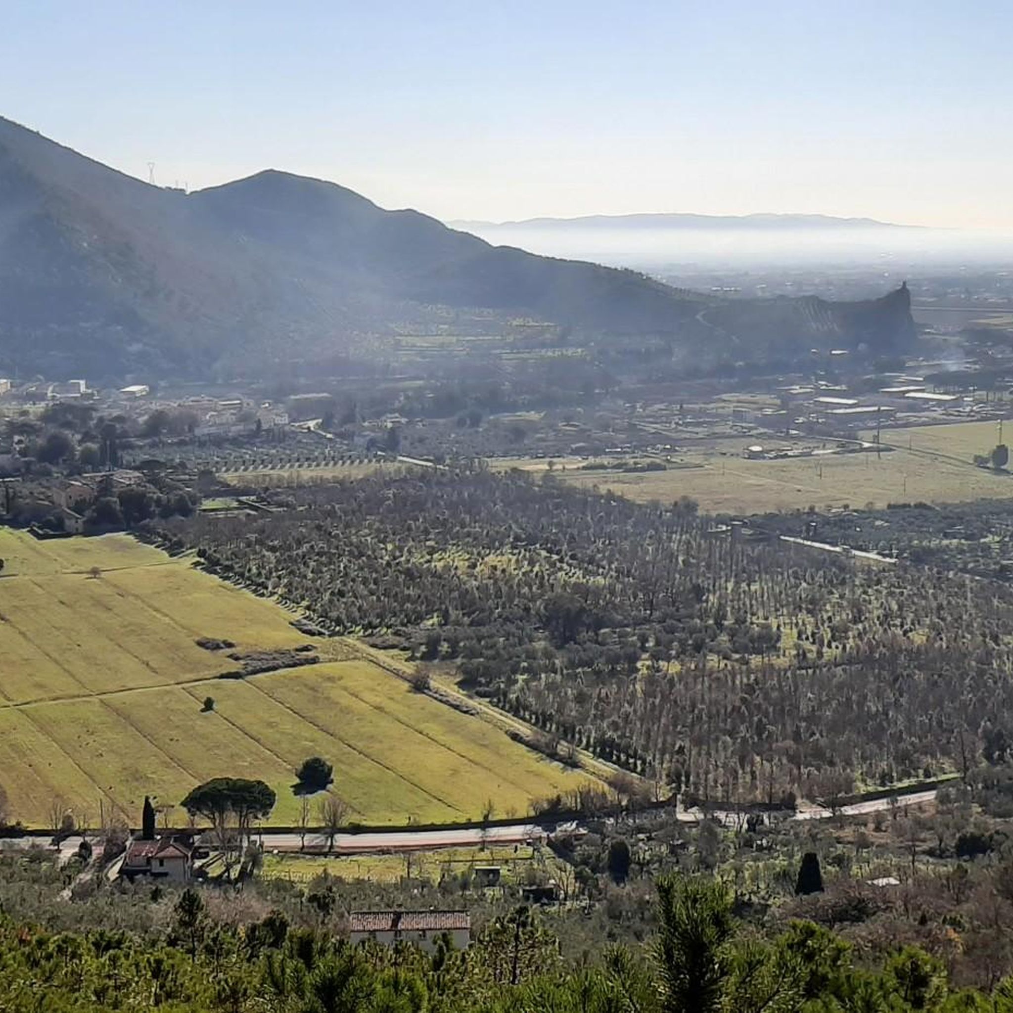
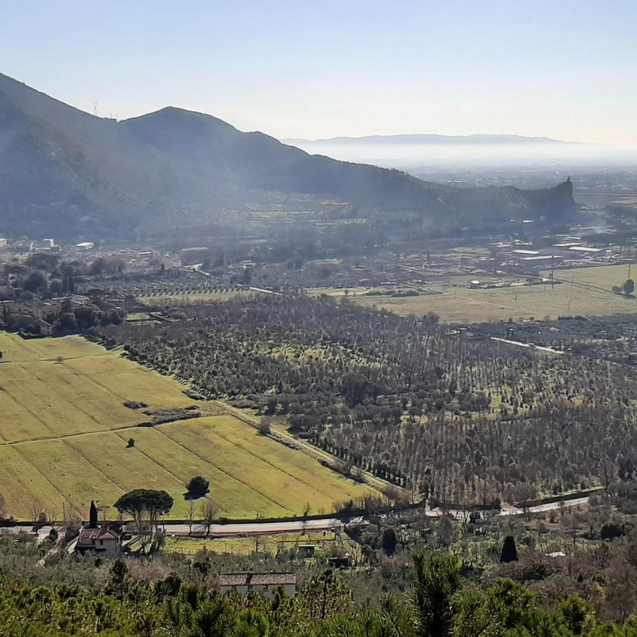
Touring cycling in Area Naturale Protetta Di Interesse Locale Valle Del Lato offers routes through a protected area characterized by mountainous terrain, forming part of the central Monte Pisano. The landscape features the valley of the Lato stream, shaded by alder trees, and diverse forest types including chestnut groves, pines, and Mediterranean scrub with holm oaks and cork oaks. This varied topography provides a range of cycling experiences across valleys, hills, and forested areas.
Best touring cycling routes in Area…
Last updated: July 1, 2026
4.0
(2)
71
riders
19.8km
01:41
670m
670m
Hard bike ride. Very good fitness required. Mostly paved surfaces. Suitable for all skill levels.
23
riders
17.6km
01:44
600m
600m
Hard bike ride. Very good fitness required. You may need to push your bike for some segments of this route.

Sign up for free
9
riders
45.2km
04:55
1,530m
1,520m
Hard bike ride. Very good fitness required. Mostly paved surfaces. Suitable for all skill levels.
5.0
(2)
41
riders
25.4km
02:27
850m
850m
Hard bike ride. Very good fitness required. Mostly paved surfaces. Suitable for all skill levels.
4.7
(19)
98
riders
70.7km
04:38
560m
560m
Hard bike ride. Very good fitness required. Mostly paved surfaces. Suitable for all skill levels.
Get access to more routes and recommendations from other explorers.
Sign up for free
Already have an account?
Our route recommendations are based on thousands of hikes, rides, and runs completed by other people on komoot.
Start today with a free account
Your next adventure awaits.
Login or Signup
Popular around Area Naturale Protetta Di Interesse Locale Valle Del Lato
Hiking in Area Naturale Protetta Di Interesse Locale Valle Del Lato
Road Cycling Routes in Area Naturale Protetta Di Interesse Locale Valle Del Lato
Running Trails in Area Naturale Protetta Di Interesse Locale Valle Del Lato
MTB Trails in Area Naturale Protetta Di Interesse Locale Valle Del Lato
Gravel biking in Area Naturale Protetta Di Interesse Locale Valle Del Lato
Tips from the Community

Tuscan restaurant fine dining Ristorante San Bernardo is also the ideal place to recharge your e-bike and earn DINAclub points. Find out how at: https://dinaclub.repower.com./ To discover the territory, an itinerary ready to pedal: https://www.komoot.com/it-it/tour/3027743084
0
0

The Tempietto-Cisterna di Guamo is the intake point and the southern end of the Monumental Aqueduct Nottolini. Located in the municipality of Capannori, it was designed by Lorenzo Nottolini and built between 1823 and 1825 at the behest of Duchess Maria Luisa of Bourbon. It is a circular building in neoclassical style with the original function of collecting and filtering the spring waters of Monte Pisano, intended for the water supply of the city of Lucca. The route of the so-called "Passeggiata dell’Acquedotto" also starts from the Tempietto, following the arches to the city.
0
0

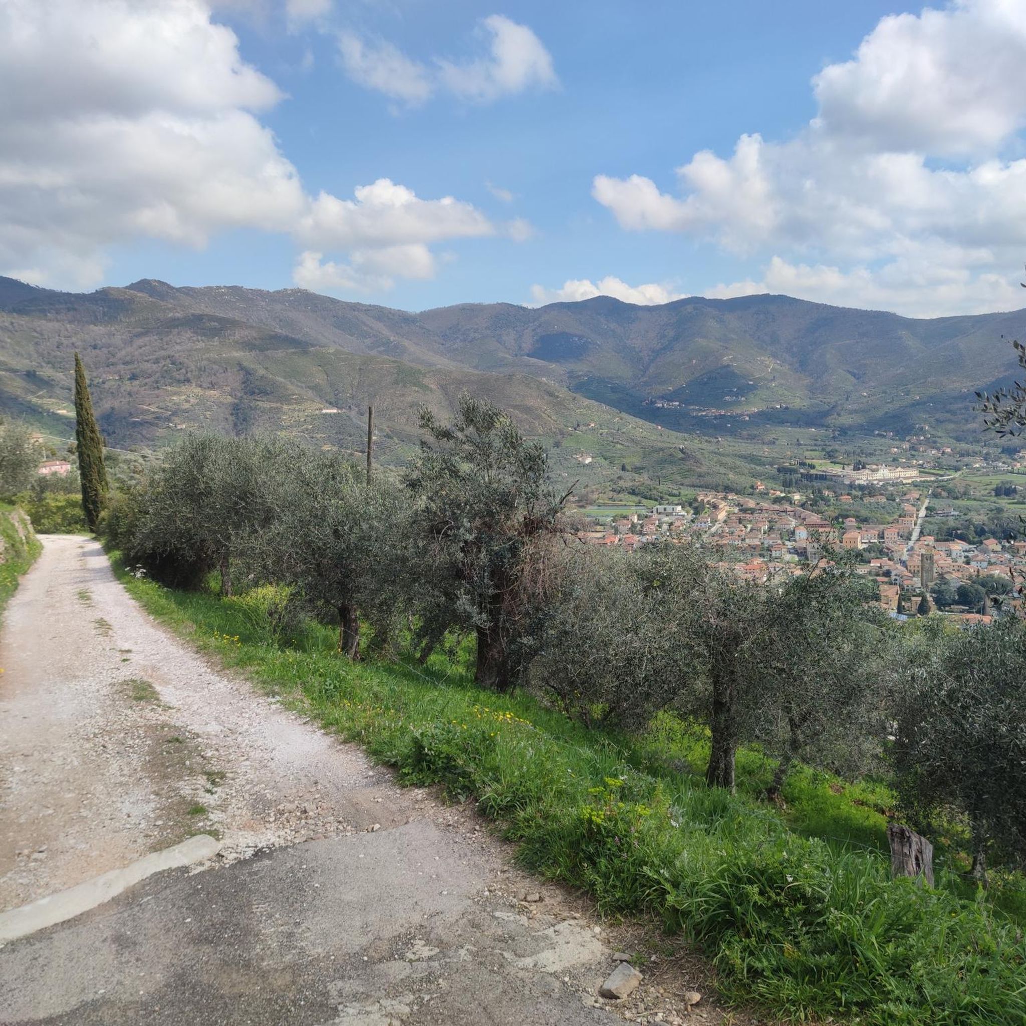
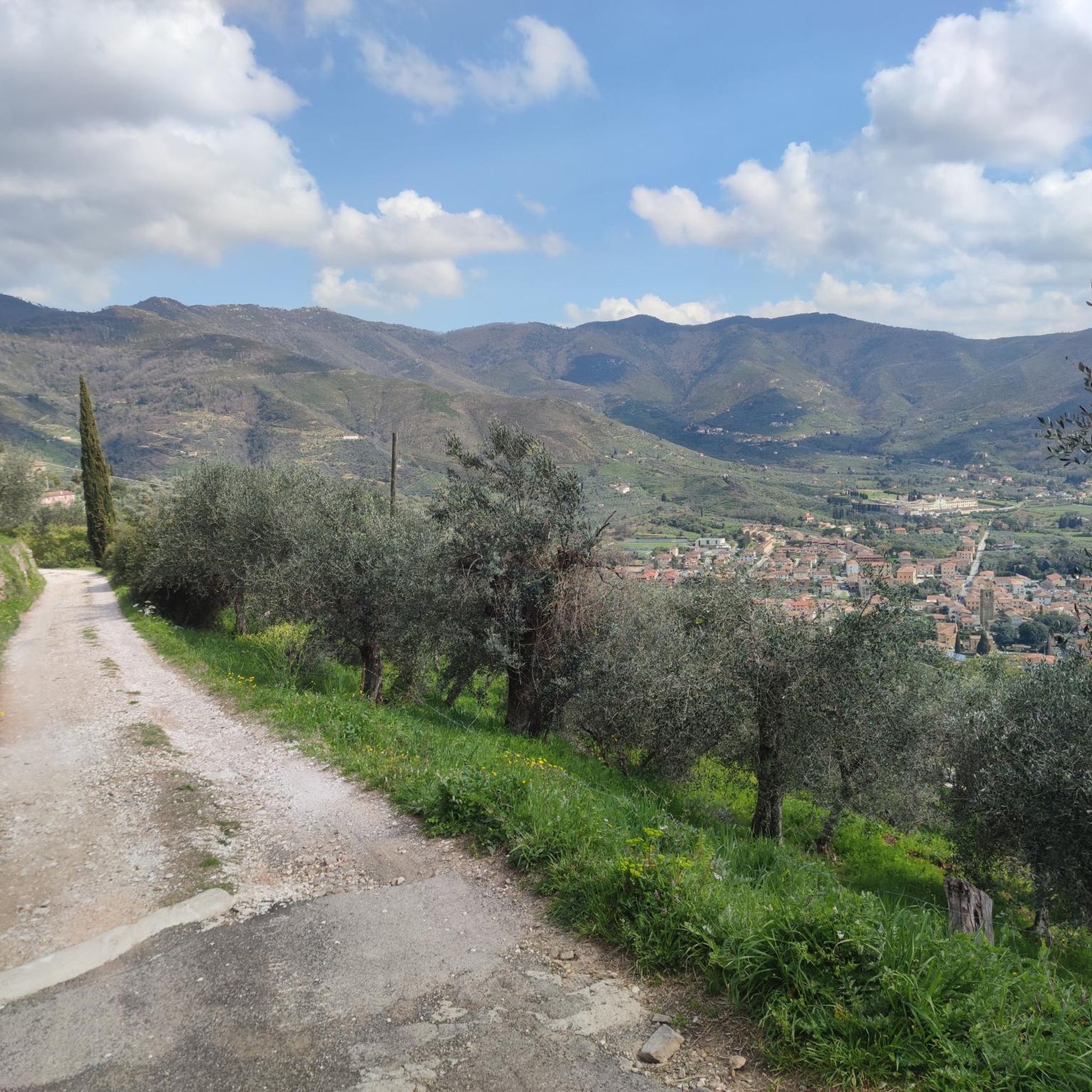
I traced this route without knowing I would have this view of Pisa and the Mediterranean. The climb has sections with steep gradients, so warm up a bit before reaching the foot of the climb. CAUTION: if you have a support vehicle, the descent does not allow two cars to pass side-by-side.
0
0

This park is very beautiful, worth seeing
0
0

Important crossroads of the mountain
0
0

excellent place to spend Sundays and holidays, have barbecues and take walks in the surrounding area
0
0

Very nice view all the way to Pisa and the sea.
0
0

Frequently Asked Questions
How many touring cycling routes are available in Area Naturale Protetta Di Interesse Locale Valle Del Lato?
There are over 300 touring cycling routes in Area Naturale Protetta Di Interesse Locale Valle Del Lato, catering to various skill levels from easy to difficult. This includes over 100 easy routes, nearly 100 moderate routes, and over 100 difficult routes.
What kind of terrain can I expect on touring cycling routes in Valle Del Lato?
The terrain in Valle Del Lato is diverse, characterized by mountainous sections of Monte Pisano. You'll find routes winding through the valley of the Lato stream, shaded by alder trees, and ascending through varied forest types including chestnut groves, pines, and Mediterranean scrub with holm oaks and cork oaks. Expect a mix of valleys, hills, and forested areas, offering both challenging climbs and more leisurely stretches.
Are there any easy touring cycling routes suitable for beginners in Valle Del Lato?
Yes, there are over 100 easy touring cycling routes. An excellent option for beginners is the Zambra di Calci Trail – Caprona Tower loop from Calci. This 11.6-mile (18.6 km) trail leads through the Lato stream valley and its riparian environment, featuring minimal elevation gain, making it a pleasant ride for those new to touring cycling.
What are some notable natural features or landmarks to look out for while cycling in Valle Del Lato?
The area is rich in natural beauty. You can expect to cycle alongside the Lato stream, through ancient alder trees, and past diverse forests including chestnut groves and Mediterranean scrub with holm oaks and cork oaks. Keep an eye out for the unique strawberry trees that bear fruit and flowers simultaneously in autumn and winter. The region also hosts various springs and is a habitat for diverse flora and fauna. For specific points of interest, consider exploring highlights like Monte Verruchino Summit for panoramic views, or the Campo di Croce Trail Junction.
Are there any circular touring cycling routes in Area Naturale Protetta Di Interesse Locale Valle Del Lato?
Yes, many touring cycling routes in Valle Del Lato are designed as loops. For a challenging experience, consider the Sant'Andrea di Compito – Scenic Viewpoint loop from Calci, which covers 25.2 miles (40.6 km) with significant elevation. Another option is the Foce di Calci – Foce loop from Calci, a difficult 10.9-mile (17.6 km) path traversing diverse ecosystems.
What is the best time of year for touring cycling in Valle Del Lato?
The varied forest types and Mediterranean scrub suggest pleasant cycling conditions during spring and autumn when temperatures are milder and the natural scenery is vibrant. The strawberry trees are particularly noteworthy in autumn and winter, displaying both mature fruits and flowers. Summer can be warm, especially in the more open Mediterranean scrub areas, while winter offers unique views but may have cooler temperatures.
Are there family-friendly touring cycling options in Valle Del Lato?
While some routes feature significant elevation, the presence of over 100 easy routes suggests options suitable for families. The didactic water path starting from the public parking area of Castelmaggiore, mentioned in the region's infrastructure, indicates areas designed for accessible outdoor enjoyment, which could include family-friendly cycling sections. Look for routes with lower elevation gain and shorter distances for a more relaxed family outing.
Where can I find parking for touring cycling routes in Valle Del Lato?
The municipality of Calci has established a didactic water path that conveniently starts from the public parking area of Castelmaggiore. This suggests Castelmaggiore is a good starting point with available parking for accessing routes within the ANPIL Valle Del Lato.
What do other touring cyclists enjoy most about cycling in Area Naturale Protetta Di Interesse Locale Valle Del Lato?
The area is highly rated by the komoot community, with an average score of 4.3 stars from over 1,700 reviews. Cyclists often praise the diverse ecosystems, from the tranquil Lato stream valley to the challenging ascents through chestnut and pine forests, and the constantly changing scenery. The blend of dense woodlands and open Mediterranean scrub provides a visually engaging journey.
Are there any routes that offer panoramic views of the region?
Yes, several routes provide excellent viewpoints. The Sant'Andrea di Compito – Scenic Viewpoint loop from Calci explicitly mentions a scenic viewpoint. Another route, Panoramic View of Calci – View from Verruca Cross loop from Calci, also highlights stunning vistas, including the view from Verruca Cross.
Are there any long-distance touring cycling routes for experienced cyclists?
For experienced cyclists seeking a longer and more challenging ride, the Nottolini Aqueduct – Nottolini Aqueduct loop from Calci is a difficult 45.8-kilometer (28.5 miles) route with significant elevation gain, offering a substantial touring experience.
Most popular routes in Area Naturale Protetta Di Interesse Locale Valle Del Lato
Most popular attractions in Area Naturale Protetta Di Interesse Locale Valle Del Lato

Get inspired with the komoot mobile app


Explore more
Browse the best Cycling routes in other regions.
