The best walks and hikes in Area Naturale Protetta Di Interesse Locale Valle Del Lato
4.4
(3989)
17,581
hikers
650
hikes
Hiking trails in Area Naturale Protetta Di Interesse Locale Valle Del Lato are situated within the Monte Pisano mountain range, entirely within the municipality of Calci. This protected area spans approximately 357 hectares and is predominantly forested, featuring diverse arboreal environments. Hikers can explore sclerophyll, chestnut, and pine forests, alongside Mediterranean macchia characterized by holm oaks, cypresses, and maritime pines. The central Lato torrent flows through the valley, creating a lush riparian ecosystem with abundant ferns and water-loving plants.
Best hiking trails in Area Naturale Protetta Di Interesse Locale Valle Del Lato
- The most popular hiking route is Spuntone di Sant'Allago Loop, a 3.0 miles (4.8 km) trail that takes 1 hour 40 minutes to complete, offering moderate ascents through varied woodlands.
- Another top favourite among local hikers is Santallago Spur – Santallago Picnic Area loop from Tre Colli, an easy 3.3 miles (5.3 km) path. This route provides gentle gradients through forested areas, suitable for a relaxed outing.
- Local hikers also love the Panoramic Route Above Calci – Calci–Agnano Trail loop from Calci, a 2.8 miles (4.5 km) trail leading through the hills above Calci, often completed in about 1 hour 25 minutes.
- Hiking in Area Naturale Protetta Di Interesse Locale Valle Del Lato is defined by diverse forest types, the Lato torrent, and Mediterranean scrubland. The network offers options for different ability levels, from easy paths to more challenging routes.
- The routes in Area Naturale Protetta Di Interesse Locale Valle Del Lato are highly rated by the komoot community with an average score of 4.5 stars from over 3,400 reviews. More than 15,000 hikers have used komoot to explore Area Naturale Protetta Di Interesse Locale Valle Del Lato's varied terrain.
Last updated: August 23, 2026
4.6
(34)
79
hikers
4.81km
01:41
220m
220m
Embark on the Spuntone di Sant'Allago Loop, a moderate hike that covers 3.0 miles (4.8 km) and climbs 719 feet (219 metres). You can expect to complete this route in about 1 hour and 40 minutes. The trail winds through diverse terrain, transitioning from narrow singletrack paths to wider cart tracks. As you hike, you will pass through lush chestnut, fir, beech, and cherry woods, with many shaded sections offering a pleasant journey. The highlight is reaching the Santallago Spur, where you will find extensive panoramic views, including sights of Lucca and Calci from a crest.
For planning your visit, the Tenuta di Santallago estate serves as a convenient starting point for this hike. Located at 800 meters, it offers ample parking, a restaurant, and accommodation, making it easy to begin your adventure. Be aware that a brief but very steep section on the ascent from Campo di Croce may challenge you if you are not accustomed to mountain walking. Consider this when you plan your pace and prepare for the route.
This circular route offers a rewarding experience for hikers exploring the Monti Pisani area of Tuscany. The trail's varied landscape, from dense woodlands to open viewpoints, showcases the natural beauty of the region. The Santallago Spur provides a unique vantage point, allowing you to appreciate the expansive surroundings. This trail is a great way to immerse yourself in the local environment and enjoy a fulfilling outdoor activity.
4.7
(14)
54
hikers
5.33km
01:35
170m
170m
Easy hike. Great for any fitness level. Easily-accessible paths. Suitable for all skill levels.

Sign up for free
4.6
(12)
35
hikers
4.37km
01:23
170m
170m
Moderate hike. Great for any fitness level. Mostly accessible paths. Sure-footedness required.
4.5
(10)
35
hikers
12.2km
04:33
710m
710m
Moderate hike. Good fitness required. Mostly accessible paths. Sure-footedness required.
4.3
(12)
43
hikers
7.24km
02:25
290m
290m
Moderate hike. Good fitness required. Mostly accessible paths. Sure-footedness required.
Get access to more routes and recommendations from other explorers.
Sign up for free
Already have an account?
Our route recommendations are based on thousands of hikes, rides, and runs completed by other people on komoot.
Start today with a free account
Your next adventure awaits.
Login or Signup
Popular around Area Naturale Protetta Di Interesse Locale Valle Del Lato
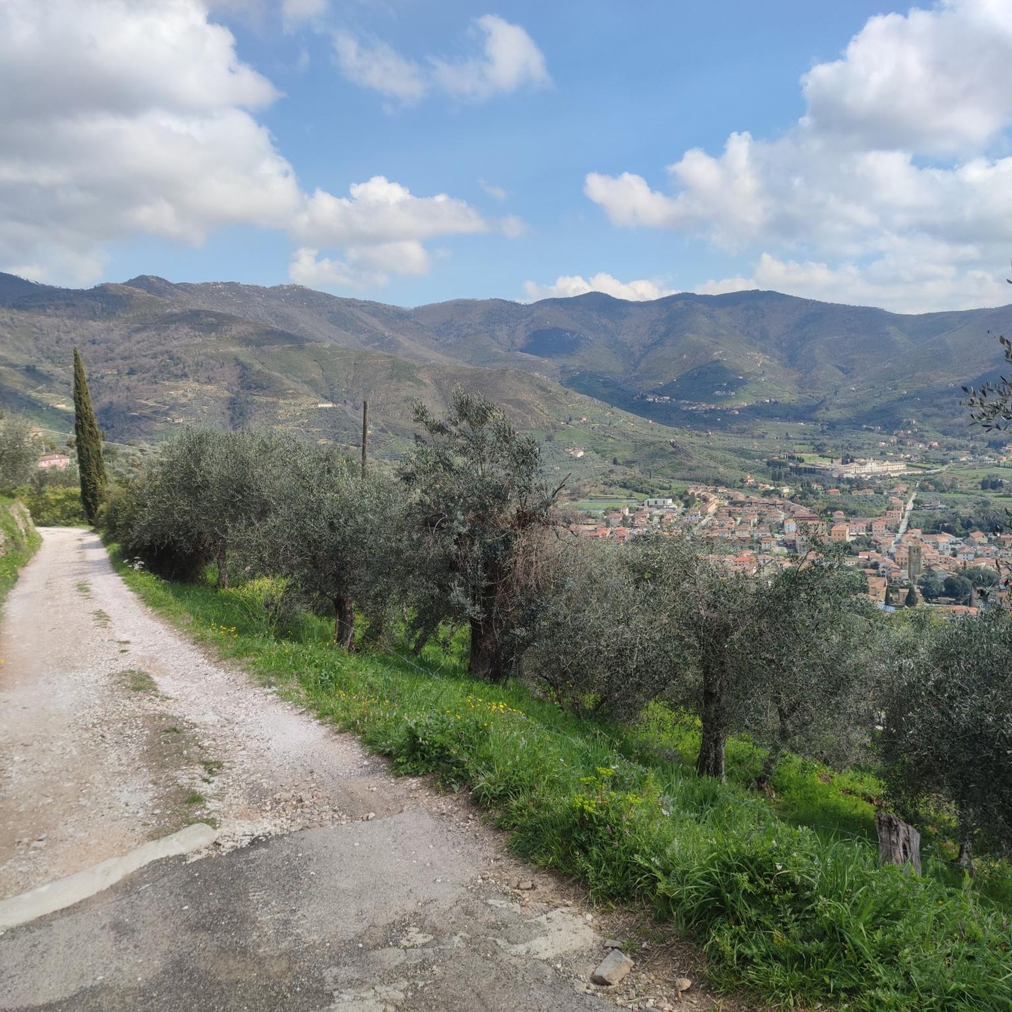
Road Cycling Routes in Area Naturale Protetta Di Interesse Locale Valle Del Lato
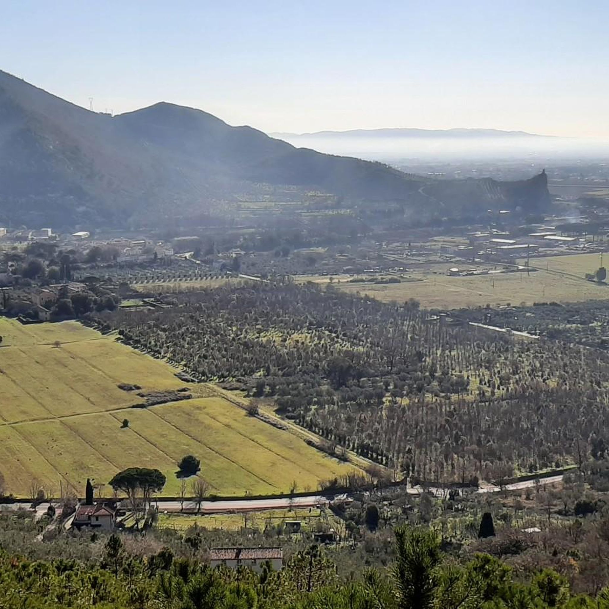
Running Trails in Area Naturale Protetta Di Interesse Locale Valle Del Lato
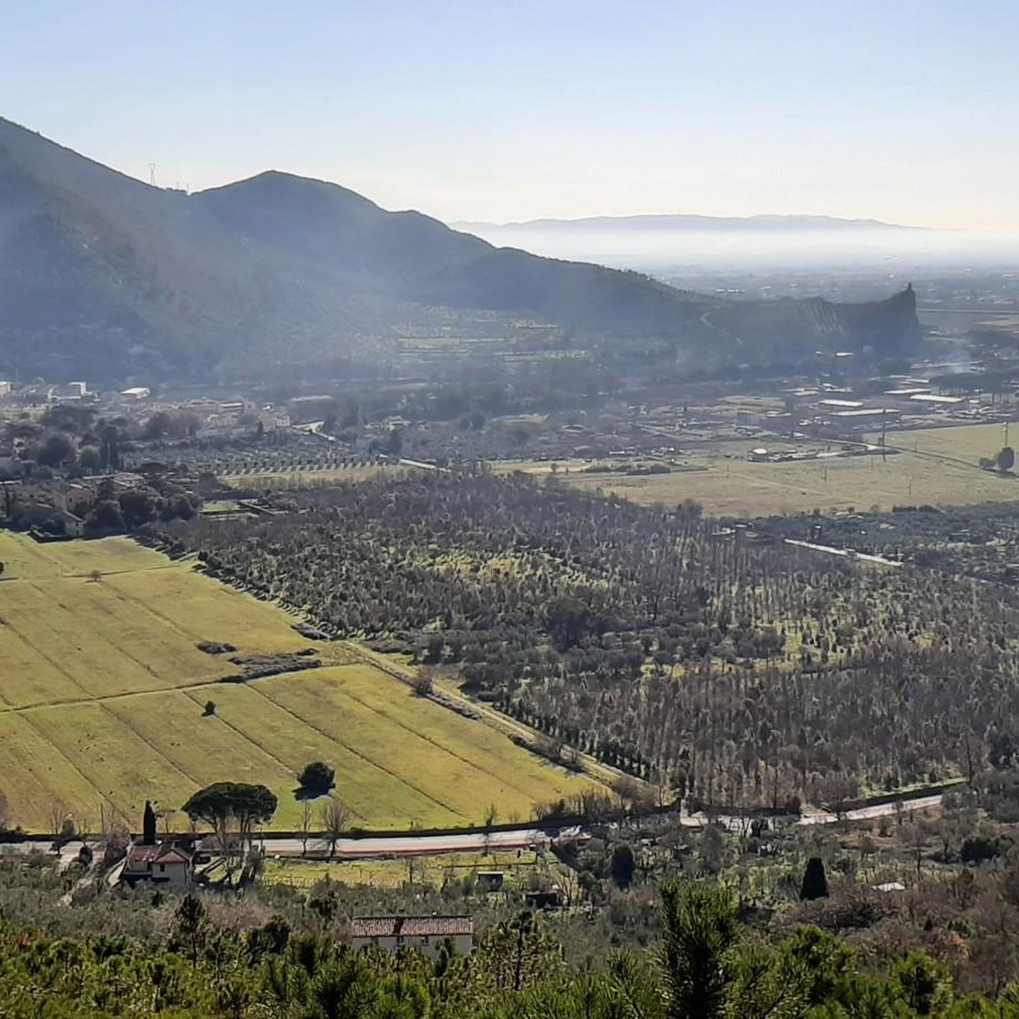
MTB Trails in Area Naturale Protetta Di Interesse Locale Valle Del Lato
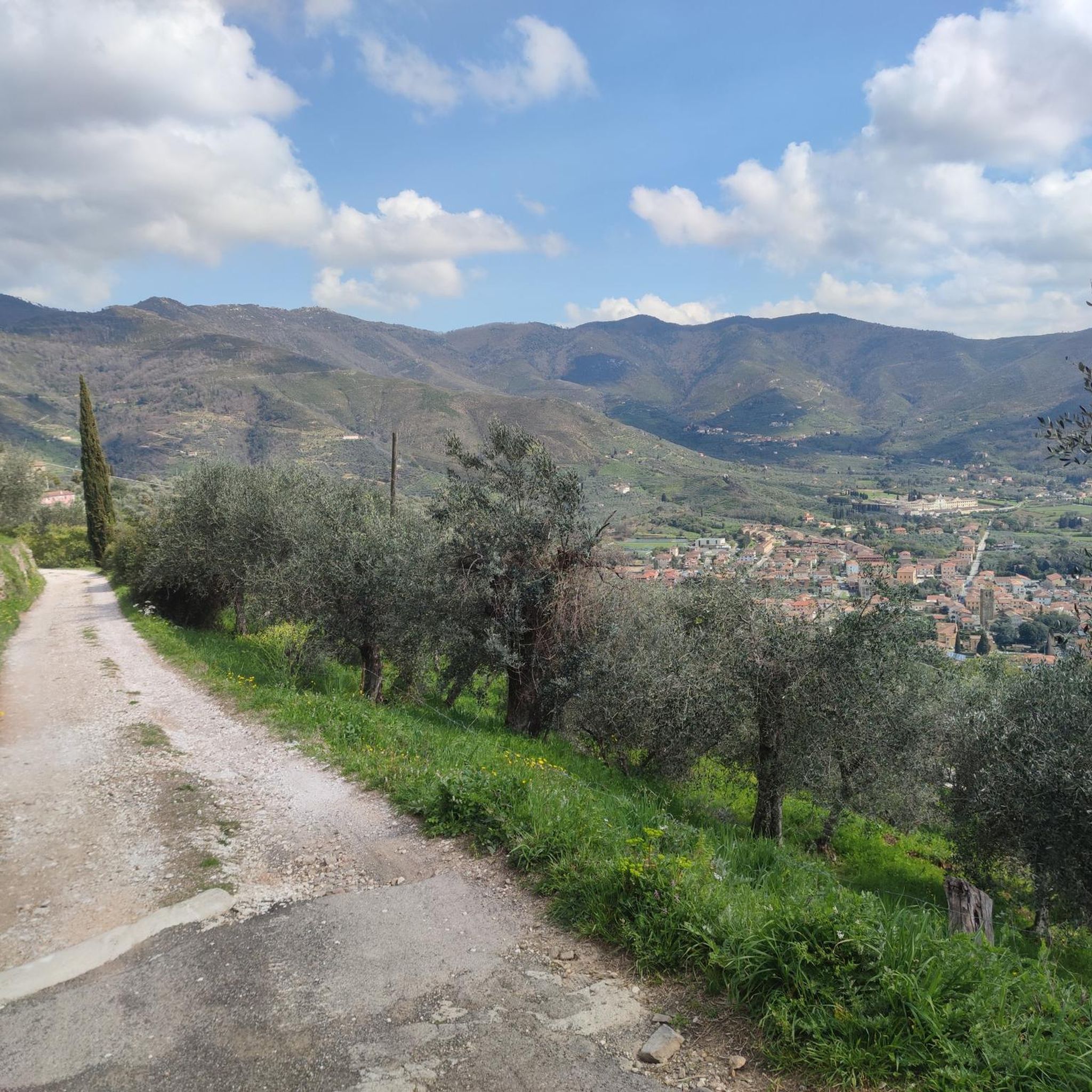
Cycling in Area Naturale Protetta Di Interesse Locale Valle Del Lato
Gravel biking in Area Naturale Protetta Di Interesse Locale Valle Del Lato
Tips from the Community

stretch that can be avoided both on foot and by mountain bike
0
0

excellent place to spend Sundays and holidays, have barbecues and take walks in the surrounding area
0
0


by bike it's free. accessible by two paths: one short and steep and the other long and less steep. At the top there is also a bar!
0
0
Exaggerated lawn for picnics or pleasant stops especially with a bit of sun
1
0
During a mountain bike ride, some beautiful views are always nice!
0
0

The faeta is always safe on clear days you have a priceless view
0
0

nice route, not too demanding but training
0
0
Frequently Asked Questions
How many hiking trails are available in Area Naturale Protetta Di Interesse Locale Valle Del Lato?
There are over 600 hiking routes in Area Naturale Protetta Di Interesse Locale Valle Del Lato, catering to various skill levels. You'll find approximately 200 easy trails, over 350 moderate options, and around 70 more challenging routes.
Are there any easy hiking trails suitable for beginners or families?
Yes, the area offers many easy trails perfect for beginners or families. An excellent option is the Santallago Spur – Santallago Picnic Area loop from Tre Colli, an easy 5.3 km path that provides gentle gradients through forested areas. Another family-friendly choice is the Santallago Plateau – Santallago Picnic Area loop from Santallago, a 3.0 km easy route.
What kind of landscapes and natural features can I expect to see while hiking?
Hikers can explore diverse landscapes, including sclerophyll, chestnut, and pine forests, particularly in the northern sections. The southern parts feature classic Mediterranean macchia with holm oaks, cypresses, and cork oaks. A central highlight is the Lato torrent, which flows through the valley, creating a lush riparian ecosystem with abundant ferns and water-loving plants.
Are there any circular hiking routes in the Valle Del Lato?
Yes, many routes in the Valle Del Lato are circular. For instance, the Spuntone di Sant'Allago Loop is a moderate 4.8 km trail that offers varied woodlands. Another popular circular option is the Panoramic Route Above Calci – Calci–Agnano Trail loop from Calci, a 4.5 km moderate trail through the hills.
What are some notable points of interest or landmarks along the trails?
Beyond the natural beauty, you can discover several points of interest. The municipality of Calci has established an educational water path (percorso didattico delle acque) starting from the public parking area of Castelmaggiore. You might also encounter the Campo di Croce Trail Junction or the Monte Verruchino Summit, offering panoramic views.
Is there wildlife to observe in Area Naturale Protetta Di Interesse Locale Valle Del Lato?
The area is a significant habitat for various wildlife. Birdwatchers can spot species like the Woodlark, Blue Rock Thrush, Kestrel, European Scops Owl, and Eurasian Hoopoe. Mammals such as porcupines, foxes, and wild boars are also present, adding to the potential for wildlife viewing.
What do other hikers say about the trails in Valle Del Lato?
The trails in Area Naturale Protetta Di Interesse Locale Valle Del Lato are highly rated by the komoot community, with an average score of 4.5 stars from over 3,400 reviews. Hikers often praise the diverse forest types, the tranquil Lato torrent, and the well-maintained network of paths suitable for various abilities.
Are there any trails that feature the Lato torrent?
Yes, the Lato torrent is a central natural feature of the valley. Many trails will lead you alongside its banks, shaded by ancient alders and rich with ferns, including the royal fern. The educational water path, starting from Castelmaggiore, specifically highlights the importance of water in the area.
Where can I find parking for hiking trails in Area Naturale Protetta Di Interesse Locale Valle Del Lato?
Public parking is available at Castelmaggiore, which serves as a starting point for the educational water path and other trails in the area. Many trailheads within the municipality of Calci also offer convenient parking options.
What is the best time of year to hike in this region?
The Area Naturale Protetta Di Interesse Locale Valle Del Lato offers pleasant hiking experiences throughout much of the year. The chestnut and pine forests, especially in the northern sections, are particularly striking in autumn and winter with their simultaneous display of mature fruits and flowers. The Mediterranean macchia provides a distinctive feel in warmer months. Spring and autumn generally offer the most comfortable temperatures for hiking.
Are there any longer, more challenging routes for experienced hikers?
Yes, for experienced hikers looking for a longer challenge, the Field of the Cross – Santallago Spur loop from Calci is a moderate 12.7 km route with significant elevation gain, offering a more demanding outing through the varied terrain of the protected area.
Most popular routes in Area Naturale Protetta Di Interesse Locale Valle Del Lato
Most popular attractions in Area Naturale Protetta Di Interesse Locale Valle Del Lato

Get inspired with the komoot mobile app


Explore more
Browse the best Hikes in other regions.
