The best walks and hikes in Wildschutzgebiet Sibratsgfäll, Schattseite
4.6
(14283)
66,481
hikers
465
hikes
Hiking in Wildschutzgebiet Sibratsgfäll, Schattseite, located in the Bregenzerwald region, features diverse landscapes within a quiet valley at 930 meters elevation. The area is characterized by panoramic mountain views, including the Gottesackerwände and Hoher Ifen, and is part of the Nagelfluhkette Nature Park, known for its Flysch rock formations. Hikers encounter continuous cover forests, various watercourses, and the Subersach gorge. A natural moor near the village also offers unique natural features.
Best hiking trails in Wildschutzgebiet Sibratsgfäll, Schattseite
- The most popular hiking route is Vorsäß Rehenberg Chapel – Upper Falzalpe loop from Sibratsgfäll, a 6.9 miles (11.1 km) trail that takes 3 hours 17 minutes to complete. This moderate route offers views of the surrounding alpine landscape.
- Another top favourite among local hikers is Sausteig Pass summit – Sibratsgfäll Village loop from Wald-Wild-Schongebiet, an easy 3.7 miles (5.9 km) path. This trail provides access to village and forest scenery.
- Local hikers also love the Subersach Gorge Waterfall – Krähenberg Chapel loop from Sibratsgfäll, a 9.0 miles (14.5 km) trail leading through the Subersach gorge and past the Krähenberg Chapel, often completed in about 4 hours 3 minutes.
- Hiking in Wildschutzgebiet Sibratsgfäll, Schattseite is defined by continuous cover forests, watercourses, and panoramic mountain views. The network offers options for various ability levels, from easy walks to more challenging routes.
- The routes in Wildschutzgebiet Sibratsgfäll, Schattseite are highly rated by the komoot community with an average score of 4.6 stars from more than 11,000 reviews. More than 57,000 hikers have used komoot to explore Wildschutzgebiet Sibratsgfäll, Schattseite's varied terrain.
Last updated: August 25, 2026
4.8
(6)
33
hikers
5.88km
01:43
170m
170m
Easy hike. Great for any fitness level. Easily-accessible paths. Suitable for all skill levels.
4.7
(134)
539
hikers
9.38km
03:12
480m
480m
Moderate hike. Good fitness required. Easily-accessible paths. Suitable for all skill levels.

Sign up for free
4.6
(50)
227
hikers
8.37km
02:22
180m
190m
Moderate hike. Good fitness required. Easily-accessible paths. Suitable for all skill levels.
4.8
(161)
707
hikers
14.5km
04:04
280m
280m
Moderate hike. Good fitness required. Easily-accessible paths. Suitable for all skill levels.
4.8
(108)
506
hikers
Hard hike. Very good fitness required. Sure-footedness, sturdy shoes and alpine experience required.
Get access to more routes and recommendations from other explorers.
Sign up for free
Already have an account?
Our route recommendations are based on thousands of hikes, rides, and runs completed by other people on komoot.
Start today with a free account
Your next adventure awaits.
Login or Signup
Popular around Wildschutzgebiet Sibratsgfäll, Schattseite

Gravel biking in Wildschutzgebiet Sibratsgfäll, Schattseite
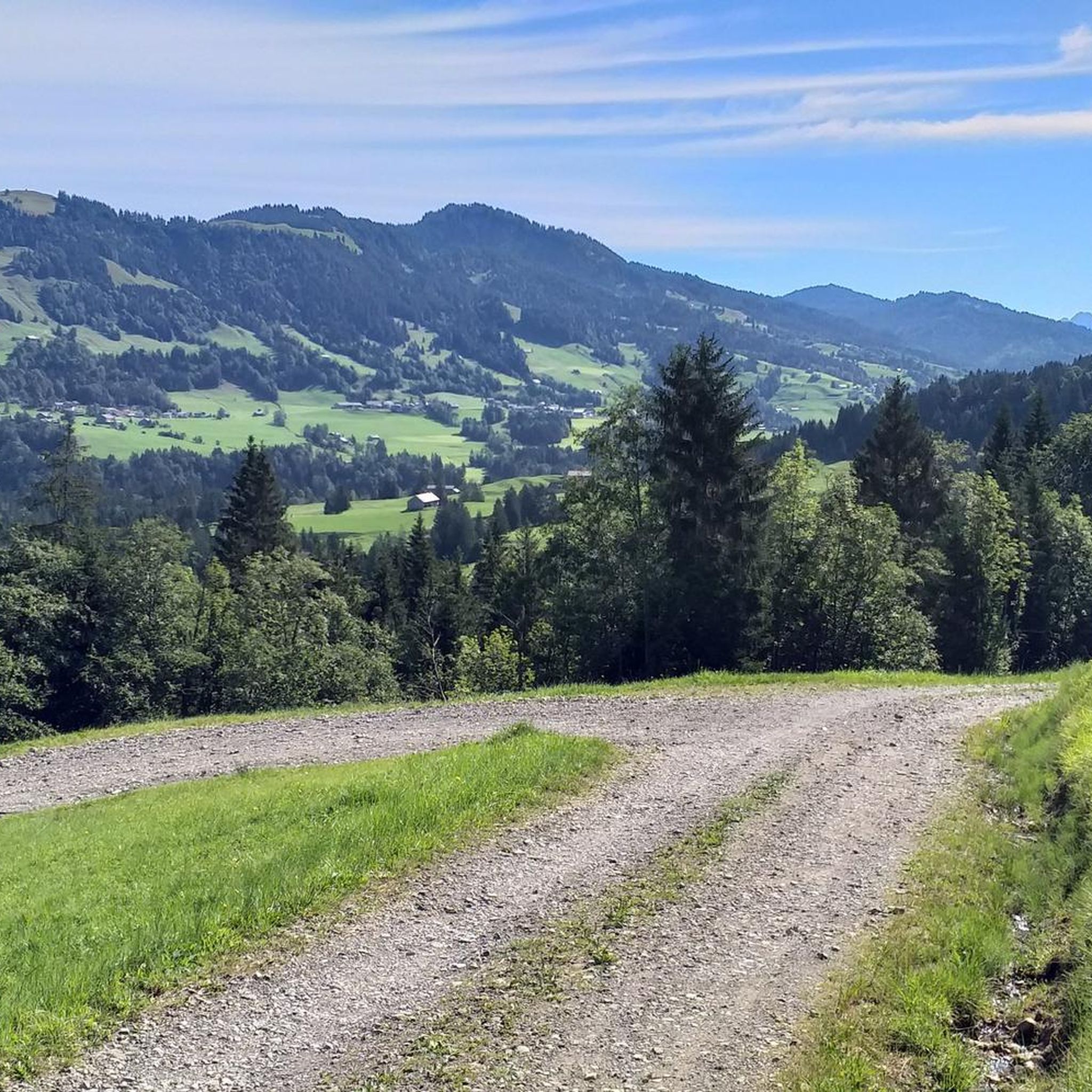
Cycling in Wildschutzgebiet Sibratsgfäll, Schattseite
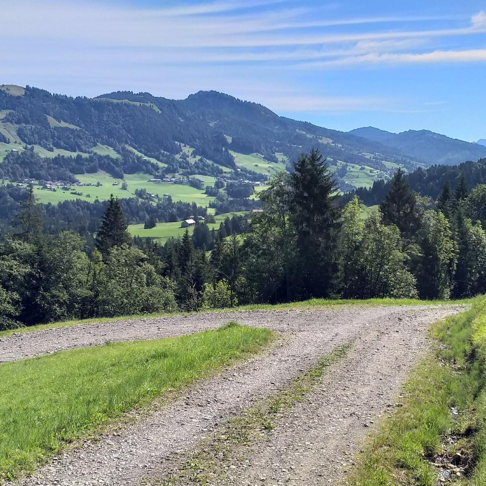
Road Cycling Routes in Wildschutzgebiet Sibratsgfäll, Schattseite
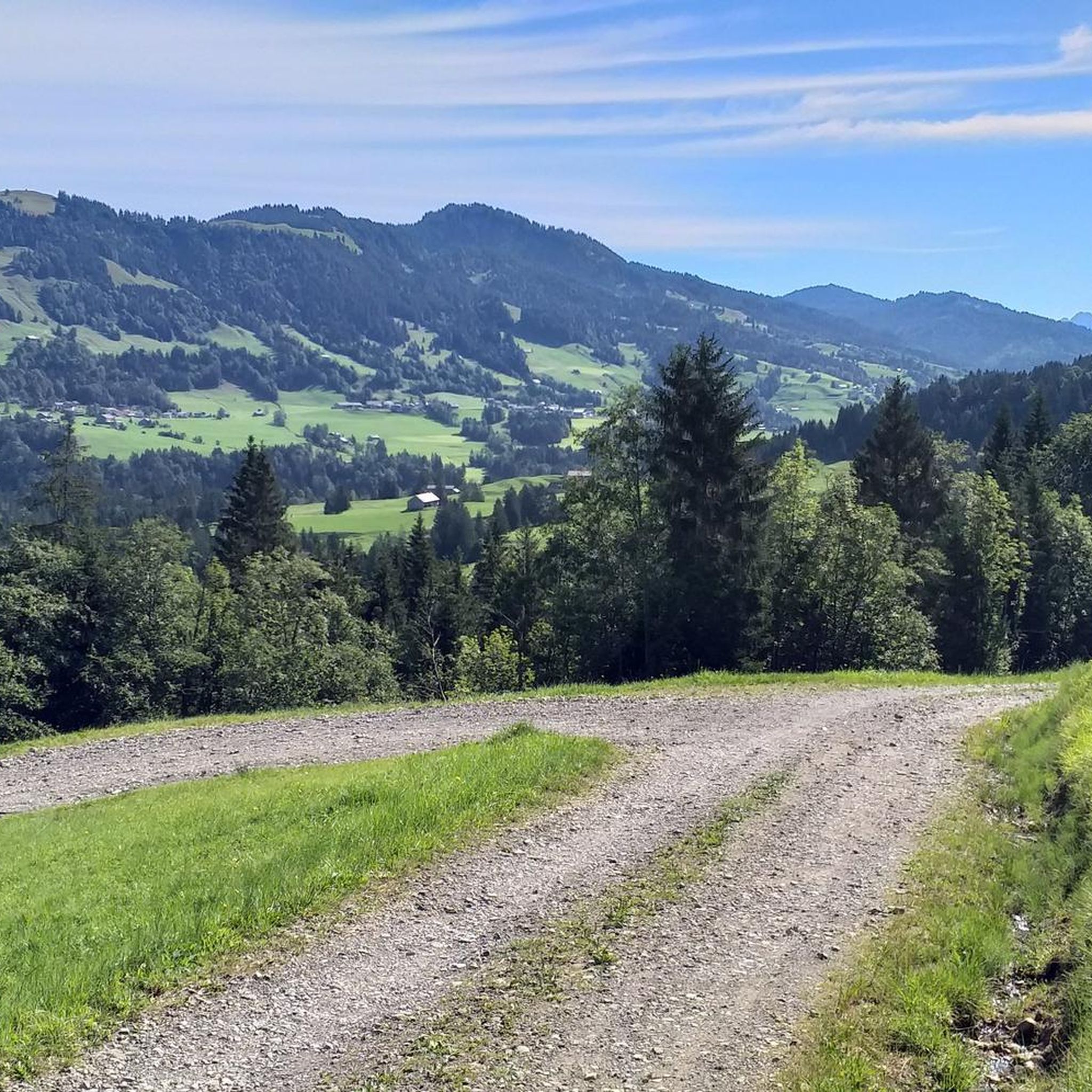
MTB Trails in Wildschutzgebiet Sibratsgfäll, Schattseite
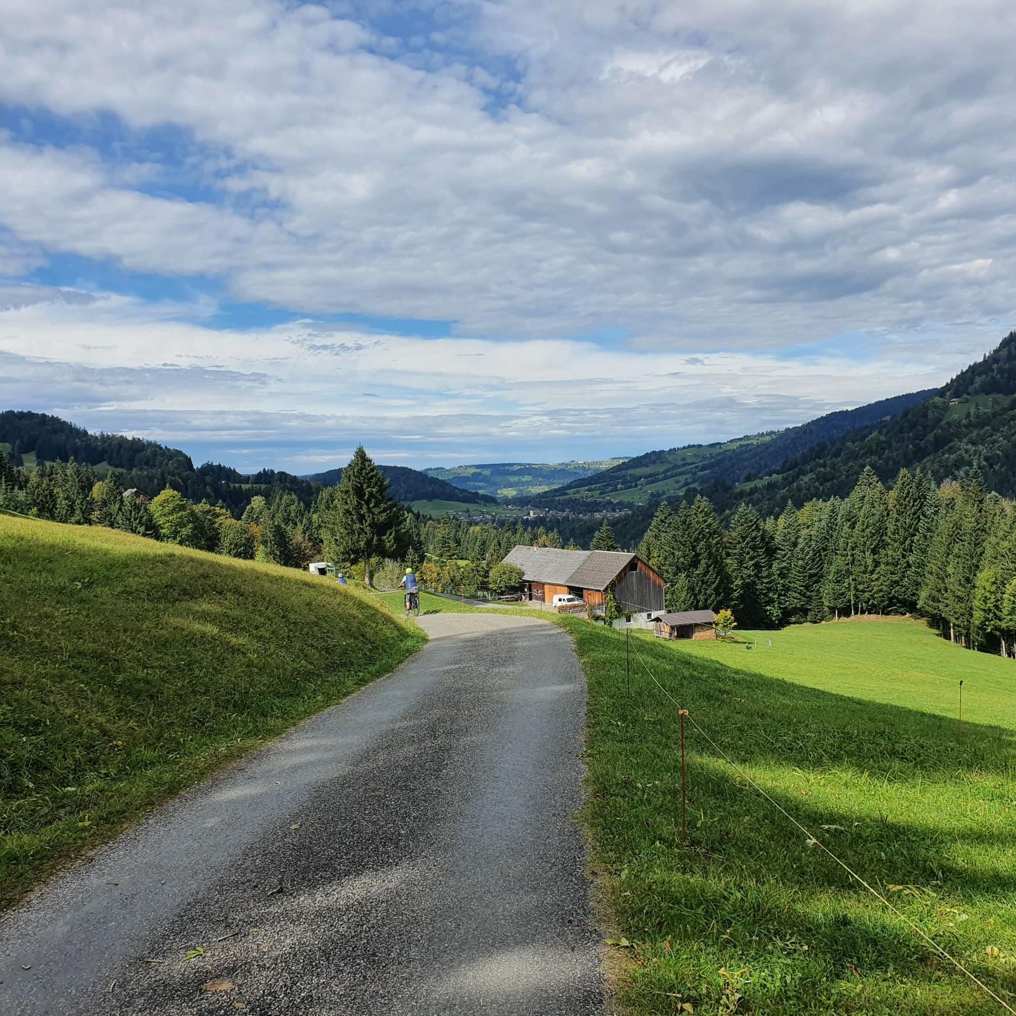
Running Trails in Wildschutzgebiet Sibratsgfäll, Schattseite
Mountain Hikes in Wildschutzgebiet Sibratsgfäll, Schattseite
Tips from the Community

Great viewpoint that is easily accessible.
2
0
Easily accessible summit with great views.
5
0


The Hasenstrick ridge has a few exposed sections secured by ropes. Therefore, surefootedness and a head for heights are a plus. Unfortunately, we were unlucky with the weather and had to hike the ridge in rain and cloud cover, with no view of the beautiful surrounding mountains. The rocks were a bit slippery, but with good hiking boots and hiking poles, it was manageable even in the rain.
0
0

Super great view, very nice paths for hiking
0
0

Even though there are parking spaces on the plateau, LEAVE YOUR VEHICLE PARK! Bus line 831 runs from Bezau bus station up and down here every hour, comfortably and toll-free. It couldn't be more convenient!
1
0
The Subersach rises at 1,700 m above sea level, southwest of the Hählekopf. Its course is sharply curved, resembling an arch. Below Egg, at an elevation of approximately 501 m above sea level, it flows from the right into the Bregenzer Ach.
0
0
The term Subersach is composed of the words "suber" and "ach." In southern German, "ach" refers to a wide body of water with a regular flow and a steep gradient. "suber" is the word for clean in the local Bregenzerwald dialect. Thus, "Subersach" simply means "clean river." Indeed, the Subersach River apparently has particularly clear water! I always fill up my water bottles here.
0
0
Frequently Asked Questions
How many hiking trails are available in Wildschutzgebiet Sibratsgfäll, Schattseite?
There are over 460 hiking trails in Wildschutzgebiet Sibratsgfäll, Schattseite. This includes a wide range of options, with more than 220 easy routes, 180 moderate trails, and over 60 more challenging hikes, ensuring there's something for every fitness level.
What kind of landscapes can I expect to see while hiking in this region?
The region is nestled in a quiet valley at 930 meters elevation, offering impressive panoramic mountain views of peaks like the Gottesackerwände, Hoher Ifen, Diedamskopf, and Winterstaude. You'll hike through continuous cover forests, along various watercourses, and experience the unique geological formations of the Nagelfluhkette Nature Park, characterized by its 'Flysch' rock conglomerate. The Subersach gorge also provides dramatic scenery.
Are there any family-friendly hiking trails in Wildschutzgebiet Sibratsgfäll, Schattseite?
Yes, the area offers several family-friendly options. The Sibratsgfäll – Tobel Circular Trail is particularly suitable, winding alongside watercourses and through forests with interactive stations. Another easy option is the Sausteig Pass summit – Sibratsgfäll Village loop from Wald-Wild-Schongebiet, which provides access to village and forest scenery.
What are some notable attractions or points of interest along the hiking routes?
Hikers can explore several unique attractions. The Georunde Rindberg Trail features eight interactive stations illustrating the impact of a 1999 landslide, including 'Felber's Wonky House,' a holiday home that slid 18 meters but remained intact. You can also visit the charming mountain pasture settlement of Schönenbach, one of the largest in the Bregenzerwald, with over 25 huts and a chapel, where highland cattle graze in summer. The Subersach water intake is another point of interest.
Are there any circular hiking routes available?
Yes, many routes in Wildschutzgebiet Sibratsgfäll, Schattseite are circular. Popular options include the Vorsäß Rehenberg Chapel – Upper Falzalpe loop from Sibratsgfäll, a moderate 11.1 km trail, and the Subersach Gorge Waterfall – Krähenberg Chapel loop from Sibratsgfäll, which leads through the gorge and past the chapel.
What is the best time of year to go hiking in Wildschutzgebiet Sibratsgfäll, Schattseite?
The region is a year-round destination. While summer is ideal for traditional hiking and mountain biking, the area also offers opportunities for snowshoeing on trails like the Georunde Rindberg in winter, as well as skiing, ski tours, and cross-country skiing. The path to Schönenbach is particularly popular in summer.
Are there any waterfalls or natural swimming spots in the area?
Yes, the Subersach Gorge Waterfall – Krähenberg Chapel loop from Sibratsgfäll highlights the impressive Subersach gorge and its waterfall. Additionally, near the village entrance, there's a natural moor that offers a unique opportunity for a moor bath, a Kneipp area, and a natural pond suitable for swimming.
What do other hikers enjoy most about hiking in Wildschutzgebiet Sibratsgfäll, Schattseite?
The area is highly rated by the komoot community, with an average score of 4.6 stars from over 11,000 reviews. Hikers often praise the diverse landscapes, from continuous cover forests to panoramic mountain views, and the well-maintained trails that cater to various ability levels. The unique natural features like the Subersach gorge and the natural moor are also frequently highlighted.
Is Wildschutzgebiet Sibratsgfäll, Schattseite suitable for winter hiking?
Yes, the region is suitable for winter activities. While some trails are accessible for snowshoeing, such as the Georunde Rindberg, the area is also popular for skiing, ski tours, and cross-country skiing. Always check local conditions and trail accessibility before heading out in winter.
Are there places to eat or get refreshments near the hiking trails?
The charming mountain pasture settlement of Schönenbach, a popular hiking destination, features over 25 huts, some of which may offer refreshments during the summer season. The village of Sibratsgfäll itself also provides options for accommodations, cafés, and restaurants.
What kind of terrain can I expect on the trails?
The terrain is diverse, ranging from quiet valley paths to more mountainous sections. You'll encounter continuous cover forests, paths alongside watercourses, and trails through the unique 'Flysch' rock formations of the Nagelfluhkette Nature Park. Some routes offer impressive views down to the Subersach gorge, while others lead through alpine pastures.
Are there any trails that offer particularly good viewpoints?
Many trails in the region offer stunning views. The area is encircled by impressive panoramic mountain views, including the Gottesackerwände, Hoher Ifen, Diedamskopf, and Winterstaude mountains, providing numerous scenic vistas. The path leading to Schönenbach also offers impressive views down to the Subersach.
Most popular routes in Wildschutzgebiet Sibratsgfäll, Schattseite
Most popular attractions in Wildschutzgebiet Sibratsgfäll, Schattseite

Get inspired with the komoot mobile app


Explore more
Browse the best Hikes in other regions.
