Wildschutzgebiet Sibratsgfäll, Schattseite
Wildschutzgebiet Sibratsgfäll, Schattseite
The best running trails in Wildschutzgebiet Sibratsgfäll, Schattseite
4.5
(126)
2,652
runners
162
runs
Jogging in Wildschutzgebiet Sibratsgfäll, Schattseite offers a variety of routes through diverse terrain. The region is characterized by alpine meadows, forested hillsides, and rolling landscapes, providing varied elevation changes for runners. These running routes often feature views of the surrounding mountains and valleys. The area provides a natural setting for outdoor activity, with trails suitable for different fitness levels.
Best jogging routes in Wildschutzgebiet Sibratsgfäll, Schattseite
- The most popular jogging route is Schetteregg – Upper Falzalpe loop from Wildschutzgebiet Sibratsgfäll,…
Last updated: July 8, 2026
4.0
(3)
24
runners
Moderate run. Good fitness required. Mostly paved surfaces. Suitable for all skill levels.
16
runners
Hard run. Very good fitness required. Sure-footedness, sturdy shoes and alpine experience required.

Sign up for free
5.0
(2)
10
runners
11.3km
01:16
290m
290m
Moderate run. Good fitness required. Mostly paved surfaces. Suitable for all skill levels.
6
runners
4.75km
00:33
150m
150m
Moderate run. Good fitness required. Mostly paved surfaces. Suitable for all skill levels.
3
runners
Moderate run. Good fitness required. Mostly paved surfaces. Suitable for all skill levels.
Get access to more routes and recommendations from other explorers.
Sign up for free
Already have an account?
Our route recommendations are based on thousands of hikes, rides, and runs completed by other people on komoot.
Start today with a free account
Your next adventure awaits.
Login or Signup
Popular around Wildschutzgebiet Sibratsgfäll, Schattseite
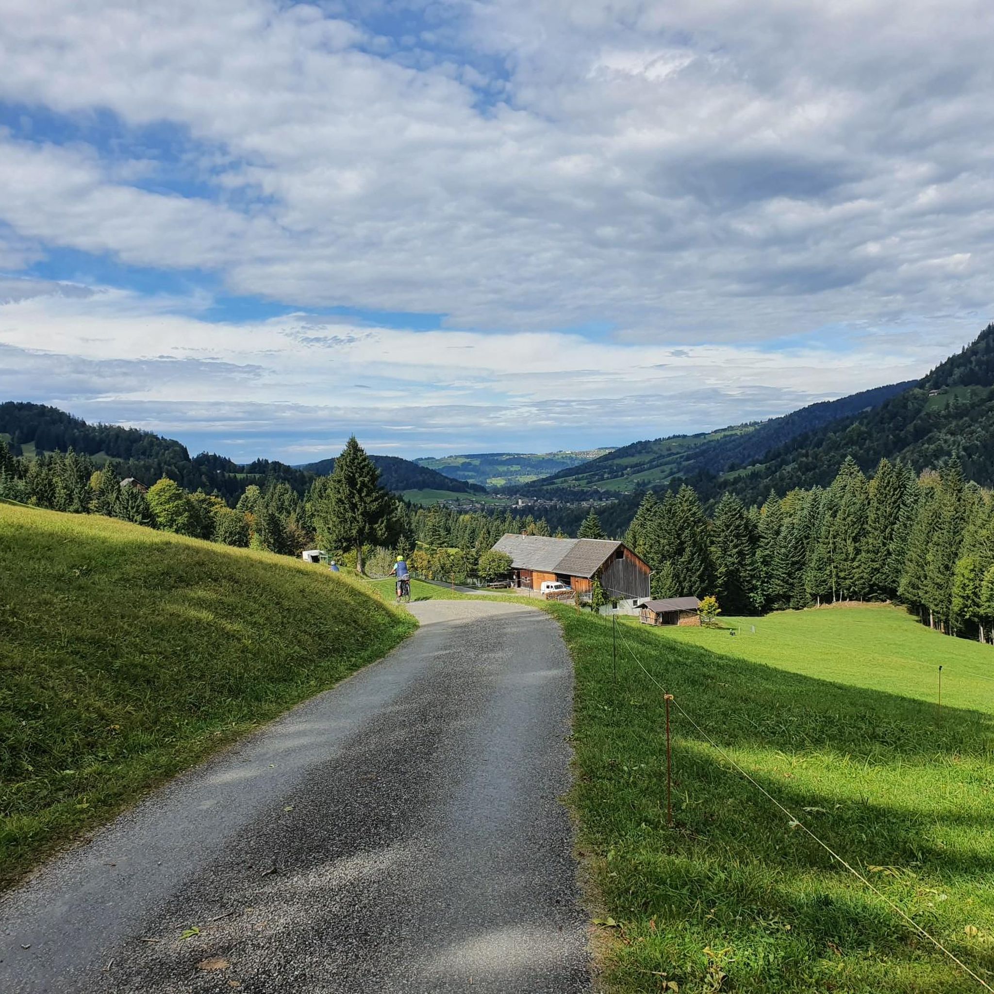
Hiking in Wildschutzgebiet Sibratsgfäll, Schattseite
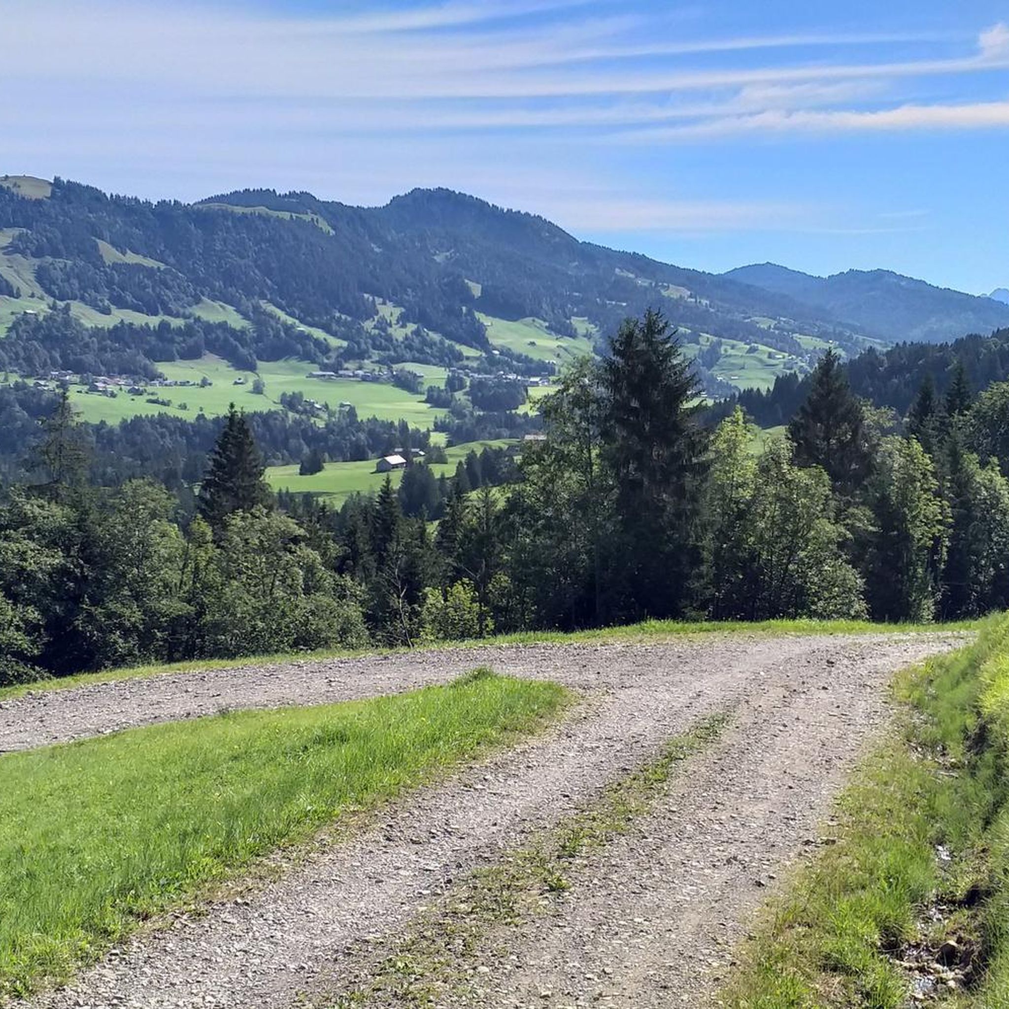
Cycling in Wildschutzgebiet Sibratsgfäll, Schattseite

Gravel biking in Wildschutzgebiet Sibratsgfäll, Schattseite
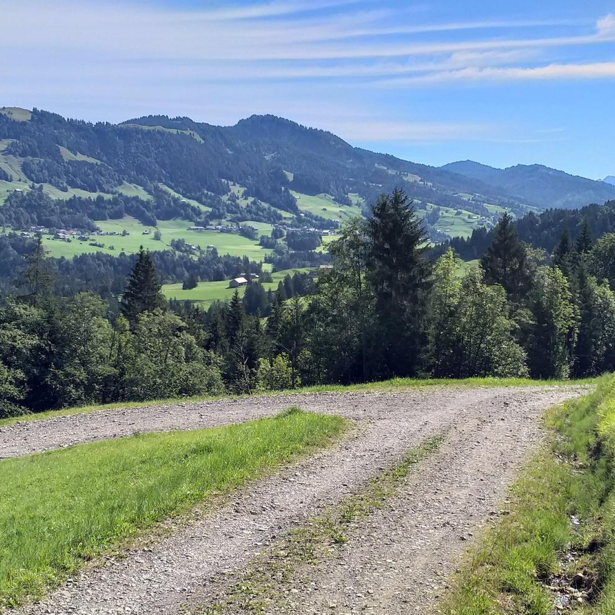
Road Cycling Routes in Wildschutzgebiet Sibratsgfäll, Schattseite
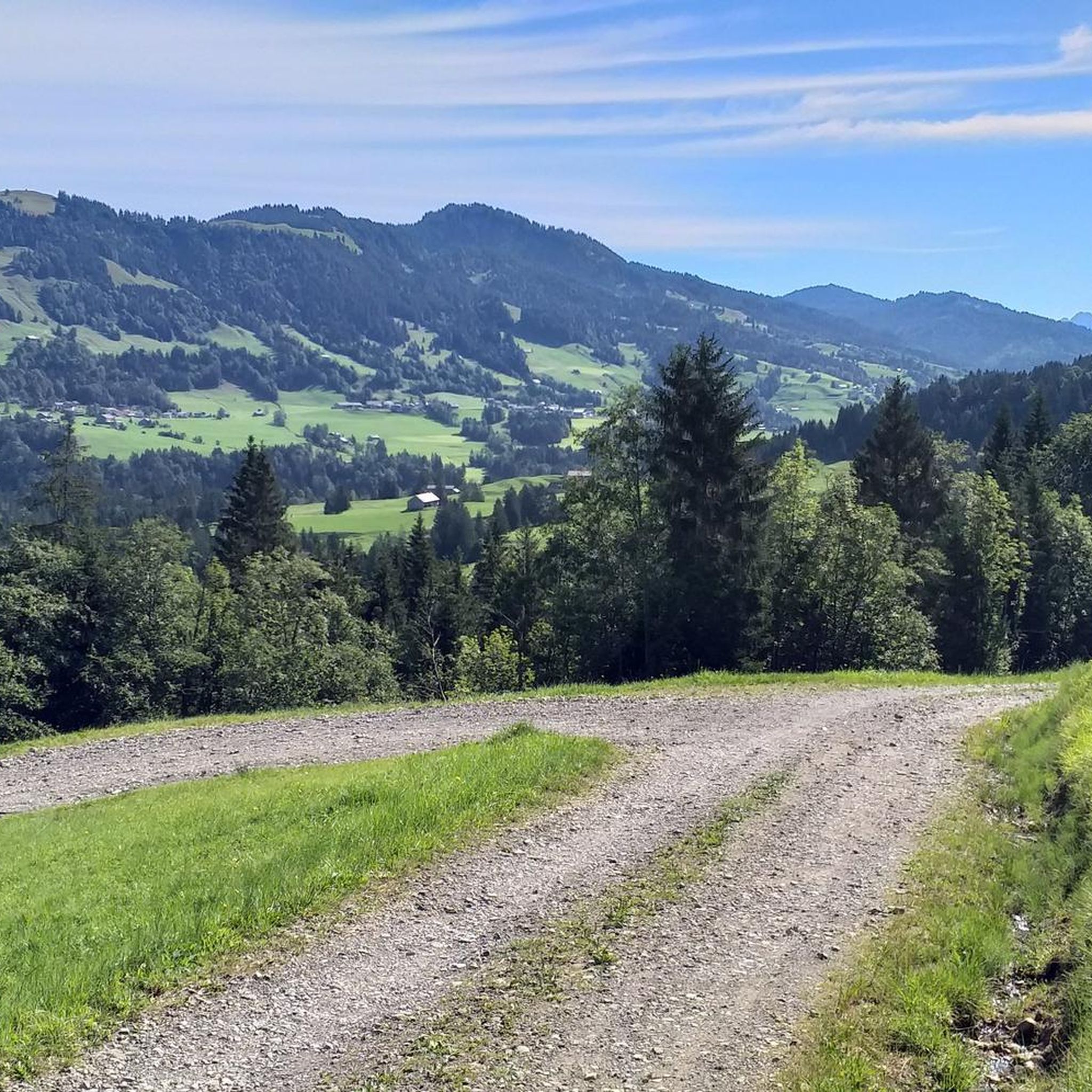
MTB Trails in Wildschutzgebiet Sibratsgfäll, Schattseite
Mountain Hikes in Wildschutzgebiet Sibratsgfäll, Schattseite
Tips from the Community

Here it goes over a gorge and you are in Austria.
0
0

In summer and autumn there are very nice hikes and in winter this small ski area with several lifts invites you to go skiing ⛷️.
0
0

A truly beautiful summit. Great view. 👍 We had the pleasure of enjoying the summit alone. ☺️
1
0

Great for a short break with homemade drinks and a view of the pony pasture.
0
0

Beautiful viewpoint in the Bregenzerwald. Great view all the way to Lake Constance 🥰
1
0

Another victim of global warming. In 1999, days of heavy rain caused the slope to move, the house tilted by several meters and became uninhabitable. It was converted into a museum. Several other houses were demolished.
0
0

Slipped 18m from its original location in 1999 due to too much rain.
2
0

Great views in all directions!
4
0
Frequently Asked Questions
How many running routes are available in Wildschutzgebiet Sibratsgfäll, Schattseite?
There are over 160 running routes available in Wildschutzgebiet Sibratsgfäll, Schattseite, catering to various fitness levels. You'll find a good mix of easy, moderate, and difficult trails.
Are there any easy running routes suitable for beginners in Wildschutzgebiet Sibratsgfäll, Schattseite?
Yes, the region offers 19 easy running routes. A great option for beginners is the Schetteregg loop from Wildschutzgebiet Sibratsgfäll, Schattseite, which is about 3 miles (4.7 km) long and features moderate elevation changes.
What kind of terrain can I expect on the jogging trails in Wildschutzgebiet Sibratsgfäll, Schattseite?
The running routes in Wildschutzgebiet Sibratsgfäll, Schattseite traverse diverse terrain, including alpine meadows, forested hillsides, and rolling landscapes. You can expect varied elevation changes and scenic views of the surrounding mountains and valleys.
What do other runners enjoy most about the trails in Wildschutzgebiet Sibratsgfäll, Schattseite?
The trails in Wildschutzgebiet Sibratsgfäll, Schattseite are highly rated by the komoot community, with an average score of 4.5 stars from over 120 reviews. Runners often praise the beautiful alpine scenery, the variety of routes, and the natural setting for outdoor activity.
Are there any circular running routes in Wildschutzgebiet Sibratsgfäll, Schattseite?
Yes, many routes in the area are circular. For example, the popular Schetteregg – Upper Falzalpe loop from Wildschutzgebiet Sibratsgfäll, Schattseite is a moderate 3.5-mile (5.7 km) trail that takes about 40 minutes to complete.
Can you recommend a longer, more challenging running route with significant elevation gain?
For a more challenging run, consider the View of Schetteregg – Winterstaude Summit (1877 m) loop from Wildschutzgebiet Sibratsgfäll, Schattseite. This difficult 7.1-mile (11.5 km) path features significant elevation gain and offers expansive summit views.
What are some points of interest or attractions I might see along the running routes?
While running, you might encounter interesting sights such as the Winding Gravel Path Near Schetteregg or the Alpine Pasture With Highland Cattle. The region also features natural elements like the Subersach water intake.
What is the typical distance range for running routes in this area?
The running routes in Wildschutzgebiet Sibratsgfäll, Schattseite vary widely in distance. You can find shorter loops around 3 miles (5 km) and longer, more challenging trails extending over 7 miles (11 km), such as the Sibratsgfäll – Sibratsgfäll Village loop from Sibratsgfäll.
Are there any routes that go through forested areas?
Yes, many routes lead through forested hillsides. The Renkknie loop from Sibratsgfäll is a 6.1-mile (9.8 km) trail that takes you through beautiful woodlands.
Is Wildschutzgebiet Sibratsgfäll, Schattseite suitable for family-friendly jogging?
Yes, there are routes suitable for families, especially among the 19 easy and numerous moderate trails. These often feature less strenuous climbs and well-maintained paths through scenic alpine meadows.
What is the best time of year to go jogging in Wildschutzgebiet Sibratsgfäll, Schattseite?
The best time for jogging in this alpine region is typically from late spring to early autumn (May to October), when trails are clear of snow and the weather is generally mild. Always check local weather conditions before heading out, especially in higher elevations.
Can I bring my dog on the running trails?
While many natural areas in Austria are dog-friendly, it's always recommended to check specific local regulations for Wildschutzgebiet Sibratsgfäll, Schattseite, as nature reserves may have rules regarding dogs, especially concerning wildlife protection or livestock. Generally, dogs should be kept on a leash.
Most popular routes in Wildschutzgebiet Sibratsgfäll, Schattseite
Most popular attractions in Wildschutzgebiet Sibratsgfäll, Schattseite

Get inspired with the komoot mobile app


Explore more
Browse the best Running Trails & Routes in other regions.
