Wildschutzgebiet Sibratsgfäll, Schattseite
Wildschutzgebiet Sibratsgfäll, Schattseite
The best mountain hikes in Wildschutzgebiet Sibratsgfäll, Schattseite
4.8
(154)
1,549
hikers
56
hikes
Mountaineering in Wildschutzgebiet Sibratsgfäll, Schattseite offers a diverse range of alpine landscapes, characterized by forested slopes, high-altitude meadows, and challenging ascents. This region provides varied terrain suitable for experienced mountaineers seeking demanding routes. With 61 mountaineering routes available, the area caters to different skill levels and preferences.
Best mountaineering routes in Wildschutzgebiet Sibratsgfäll, Schattseite
- The most popular mountaineering route is Tristenkopf Summit – Winterstaude Summit loop from Wildschutzgebiet Sibratsgfäll, Schattseite, an 8.7 miles (14.0 km) trail that takes about…
Last updated: July 1, 2026
4.7
(9)
59
hikers
Hard mountaineering route. Very good fitness required. Sure-footedness, sturdy shoes and alpine experience required.
3.0
(2)
17
hikers
Hard mountaineering route. Very good fitness required. Mostly accessible paths. Sure-footedness required.

Sign up for free
5.0
(2)
15
hikers
Hard mountaineering route. Good fitness required. Sure-footedness, sturdy shoes and alpine experience required.
4.5
(2)
9
hikers
5.38km
02:03
370m
370m
Moderate mountaineering route. Good fitness required. Easily-accessible paths. Suitable for all skill levels.
5.0
(1)
8
hikers
Hard mountaineering route. Good fitness required. Sure-footedness, sturdy shoes and alpine experience required.
Get access to more routes and recommendations from other explorers.
Sign up for free
Already have an account?
Our route recommendations are based on thousands of hikes, rides, and runs completed by other people on komoot.
Start today with a free account
Your next adventure awaits.
Login or Signup
Popular around Wildschutzgebiet Sibratsgfäll, Schattseite
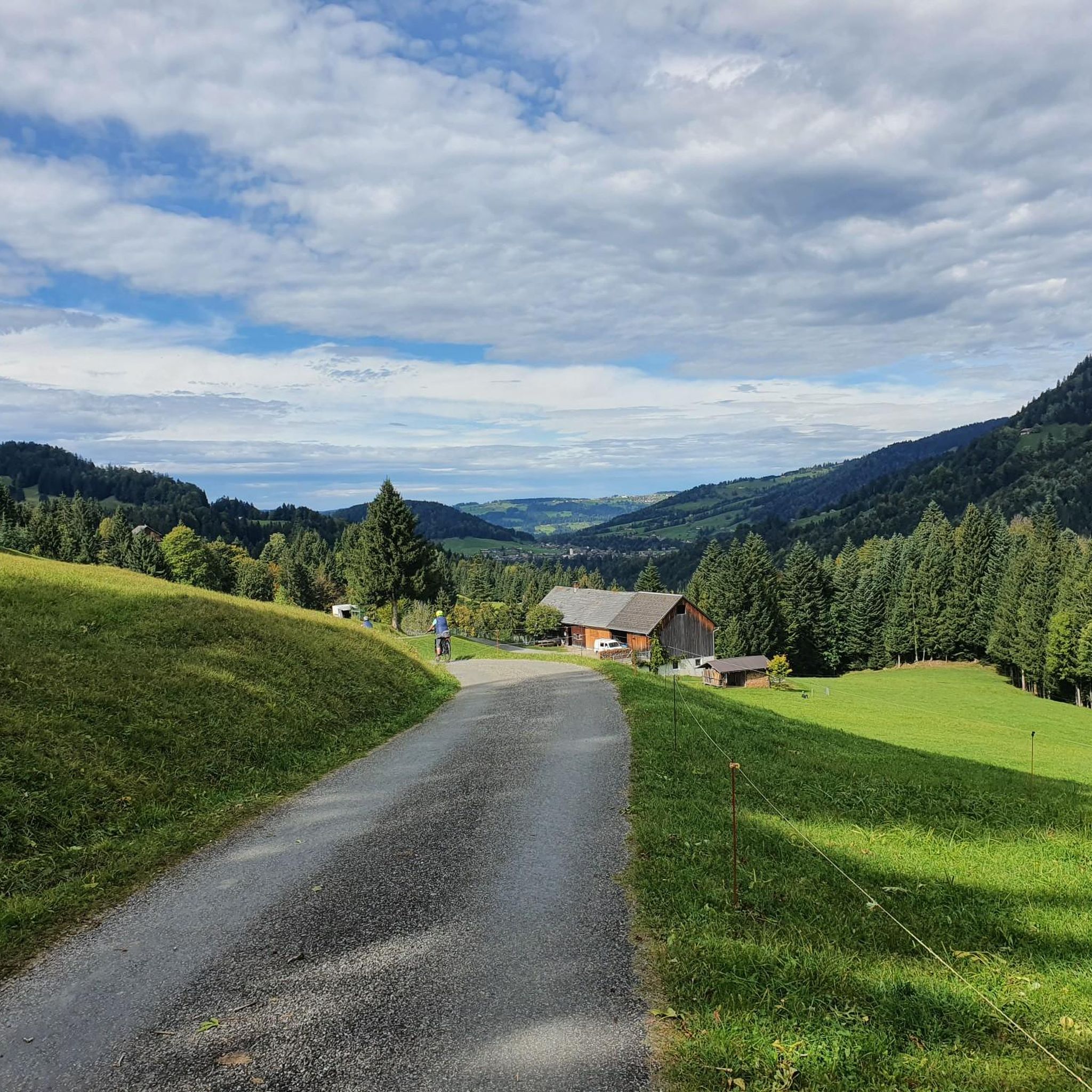
Hiking in Wildschutzgebiet Sibratsgfäll, Schattseite
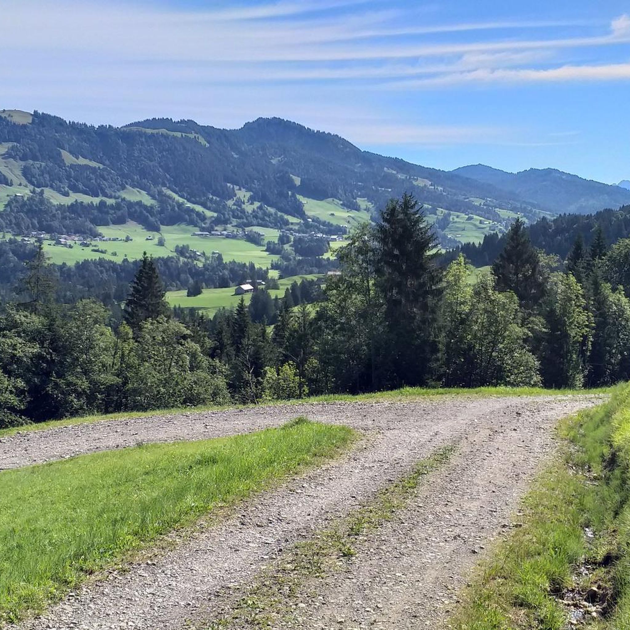
Cycling in Wildschutzgebiet Sibratsgfäll, Schattseite

Gravel biking in Wildschutzgebiet Sibratsgfäll, Schattseite
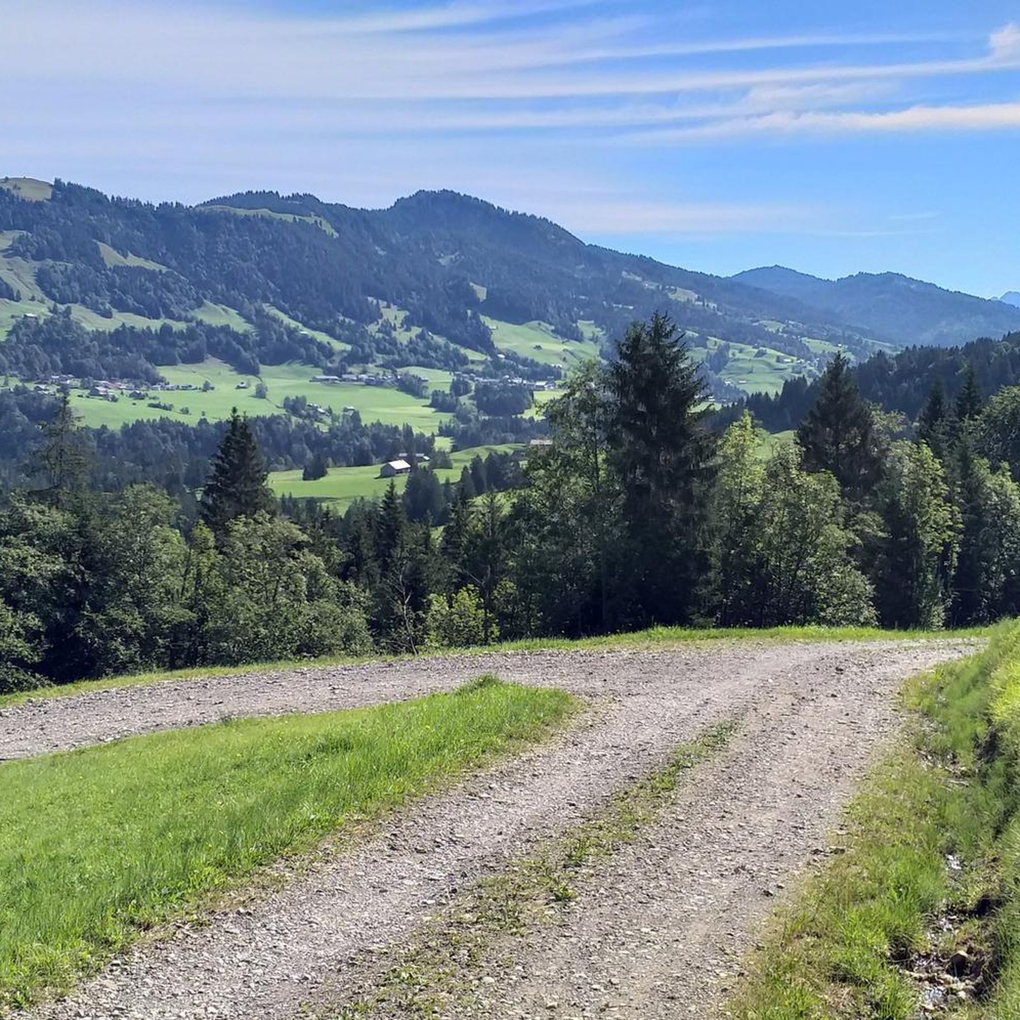
Road Cycling Routes in Wildschutzgebiet Sibratsgfäll, Schattseite
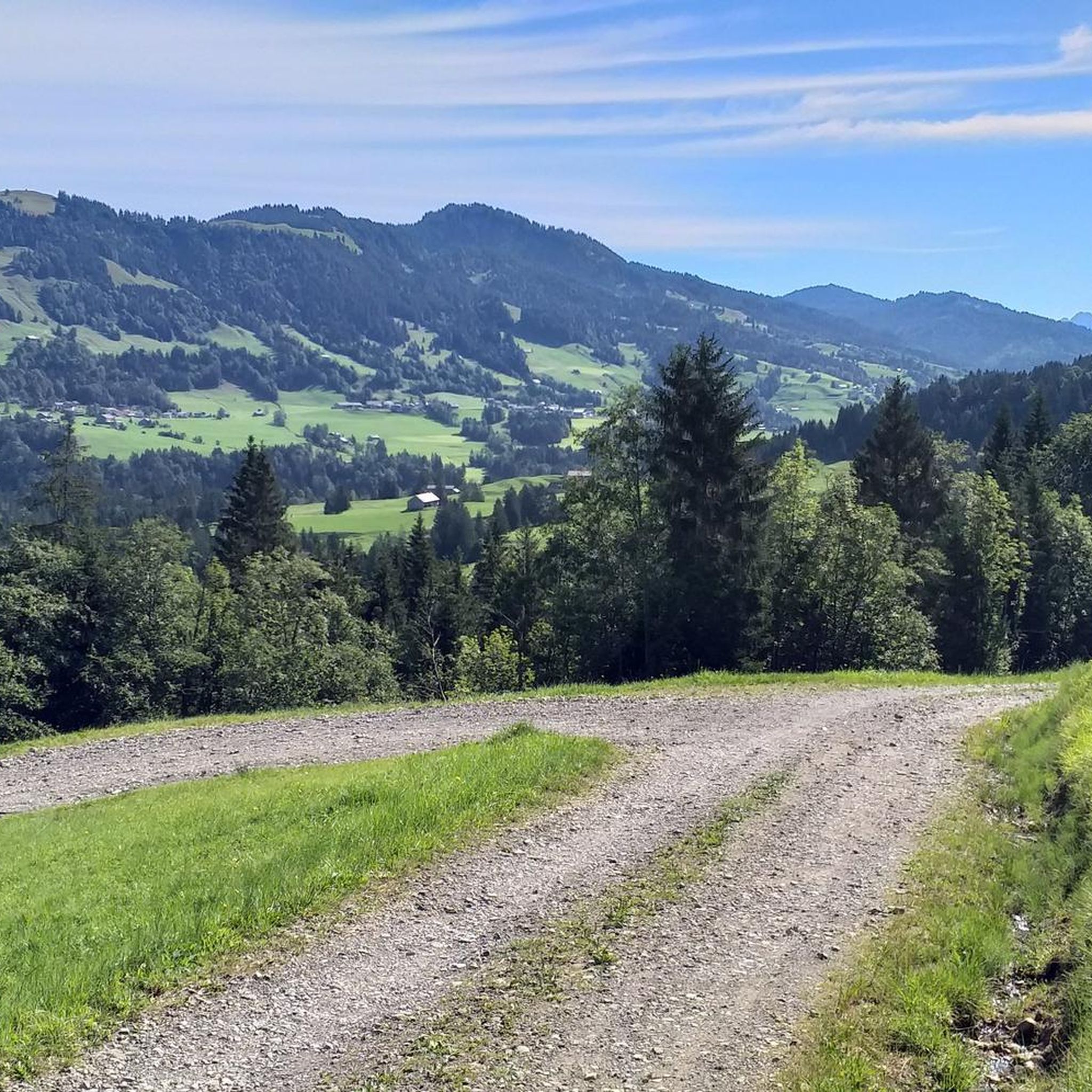
MTB Trails in Wildschutzgebiet Sibratsgfäll, Schattseite
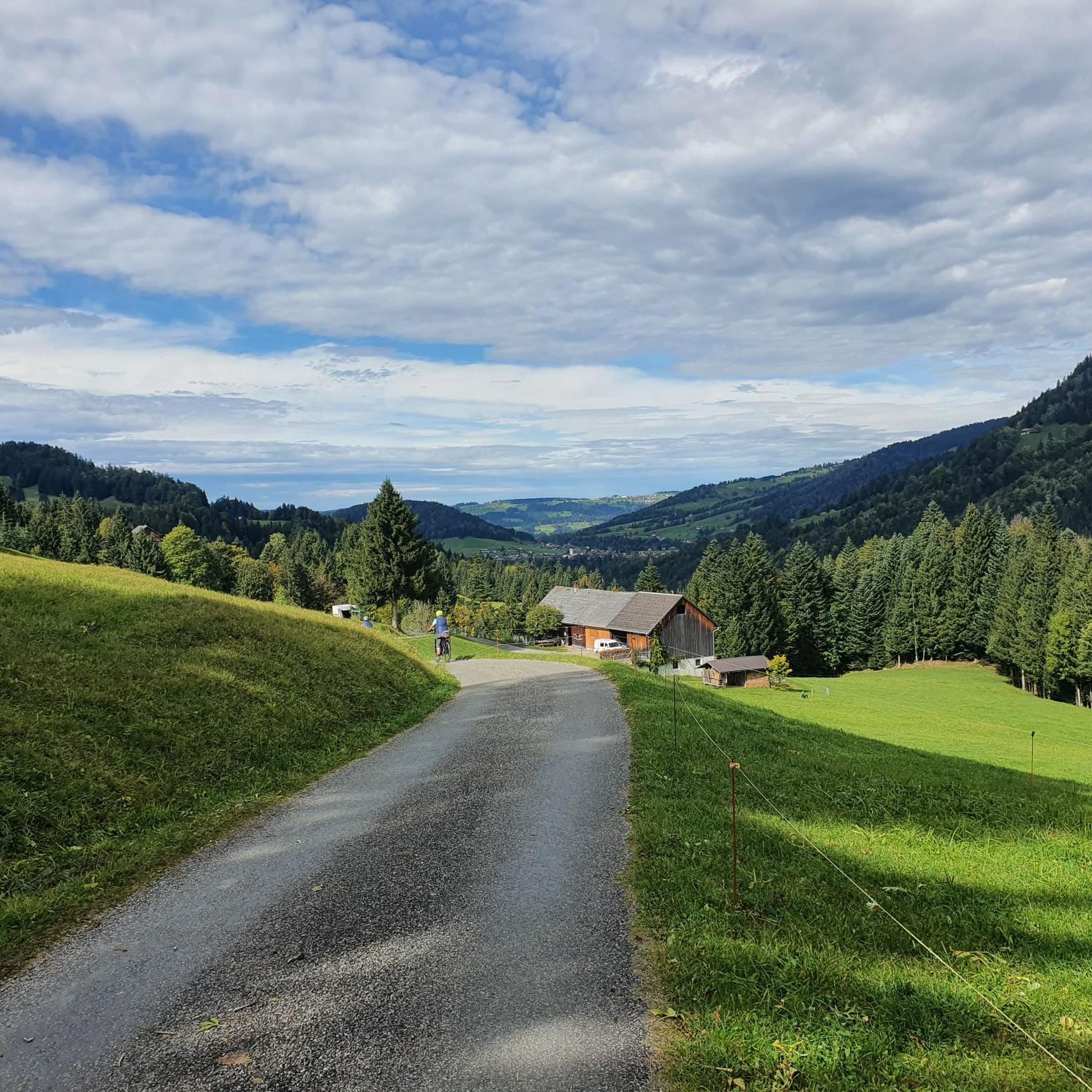
Running Trails in Wildschutzgebiet Sibratsgfäll, Schattseite
Tips from the Community

Easily accessible summit with great views.
5
0

In summer and autumn there are very nice hikes and in winter this small ski area with several lifts invites you to go skiing ⛷️.
0
0

The Hasenstrick ridge has a few exposed sections secured by ropes. Therefore, surefootedness and a head for heights are a plus. Unfortunately, we were unlucky with the weather and had to hike the ridge in rain and cloud cover, with no view of the beautiful surrounding mountains. The rocks were a bit slippery, but with good hiking boots and hiking poles, it was manageable even in the rain.
0
0

Bunny knitting ridge is really fun 👍
0
0
There's also a great view from this summit ☺️ Great view of Lake Constance too.
0
0
A truly beautiful summit. Great view. 👍 We had the pleasure of enjoying the summit alone. ☺️
1
0
Beautiful viewpoint in the Bregenzerwald. Great view all the way to Lake Constance 🥰
1
0
Sure-footedness is essential. Great view all the way to Lake Constance 🥰
0
0
Frequently Asked Questions
How many mountaineering routes are available in Wildschutzgebiet Sibratsgfäll, Schattseite?
There are over 60 mountaineering routes in Wildschutzgebiet Sibratsgfäll, Schattseite, offering a wide range of options for different skill levels.
Are there beginner-friendly mountaineering routes in Wildschutzgebiet Sibratsgfäll, Schattseite?
Yes, while many routes are challenging, there are a few easier options available. For instance, you can find routes suitable for those new to mountaineering, though specific easy routes are not detailed in the provided data. Always check the difficulty rating before you go.
What are some challenging mountaineering routes for experienced climbers?
For experienced mountaineers seeking a challenge, consider routes like the Winterstaude Summit – View from Winterstaude loop from Wildschutzgebiet Sibratsgfäll, Schattseite. This difficult route covers over 7 miles (11.7 km) with significant elevation gain, offering a demanding experience.
Can I find circular mountaineering routes in Wildschutzgebiet Sibratsgfäll, Schattseite?
Yes, many of the mountaineering routes in the region are designed as loops, allowing you to start and end at the same point. An example is the Renkknie Summit Cross – Bereuter Riesalpe loop from Sausteigpass, which is a moderate 5.9 miles (9.5 km) trail.
What is the best season for mountaineering in Wildschutzgebiet Sibratsgfäll, Schattseite?
The best season for mountaineering in this alpine region is typically from late spring to early autumn (June to September) when trails are generally free of snow and weather conditions are more stable. Always check local weather forecasts and trail conditions before heading out.
Are there specific considerations for winter mountaineering in this area?
Given its alpine nature and the 'Schattseite' (shady side) designation, winter mountaineering in Wildschutzgebiet Sibratsgfäll can be demanding. Expect snow, ice, and potentially avalanche risks. Proper winter gear, avalanche knowledge, and experience are essential. Some routes may be impassable or require specialized equipment.
What do other mountaineers enjoy the most about mountaineering in Wildschutzgebiet Sibratsgfäll, Schattseite?
The area is highly rated by the komoot community, with an average score of 4.8 stars from over 150 reviews. Mountaineers often praise the diverse alpine landscapes, challenging ascents, and panoramic views of the surrounding peaks.
Are there any interesting landmarks or attractions along the mountaineering routes?
Yes, the region offers several points of interest. You might encounter the Winding Gravel Path Near Schetteregg, or the Alpine Pasture With Highland Cattle. For those interested in natural features, the Subersach water intake is also nearby.
Where can I park when visiting Wildschutzgebiet Sibratsgfäll, Schattseite for mountaineering?
While specific parking locations aren't detailed, trailheads in alpine regions like Wildschutzgebiet Sibratsgfäll, Schattseite typically offer designated parking areas. It's advisable to research specific starting points for your chosen route to confirm parking availability.
Is Wildschutzgebiet Sibratsgfäll, Schattseite accessible by public transport for mountaineers?
Public transport options to alpine regions like Wildschutzgebiet Sibratsgfäll, Schattseite often include bus services connecting to nearby villages. For detailed schedules and routes, it's best to check local transport providers serving the Vorarlberg region.
Are there any hidden gems or less-trafficked routes in the area?
With over 60 routes, there are many opportunities to discover less-trafficked paths beyond the most popular ones. Exploring routes like the Winterstaude Summit – Tristenkopf Summit loop from Wildschutzgebiet Sibratsgfäll, Schattseite, which is a difficult 6.1 miles (9.8 km) trail, can offer a more secluded experience.
Most popular routes in Wildschutzgebiet Sibratsgfäll, Schattseite
Most popular attractions in Wildschutzgebiet Sibratsgfäll, Schattseite

Get inspired with the komoot mobile app


Explore more
Browse the best Mountain Hikes & Routes in other regions.
