Naturpark Pfälzerwald - Kernzone Quellgebiet Der Wieslauter
Naturpark Pfälzerwald - Kernzone Quellgebiet Der Wieslauter
The best mountain hikes in Naturpark Pfälzerwald - Kernzone Quellgebiet Der Wieslauter
5.0
(8)
44
hikers
8
hikes
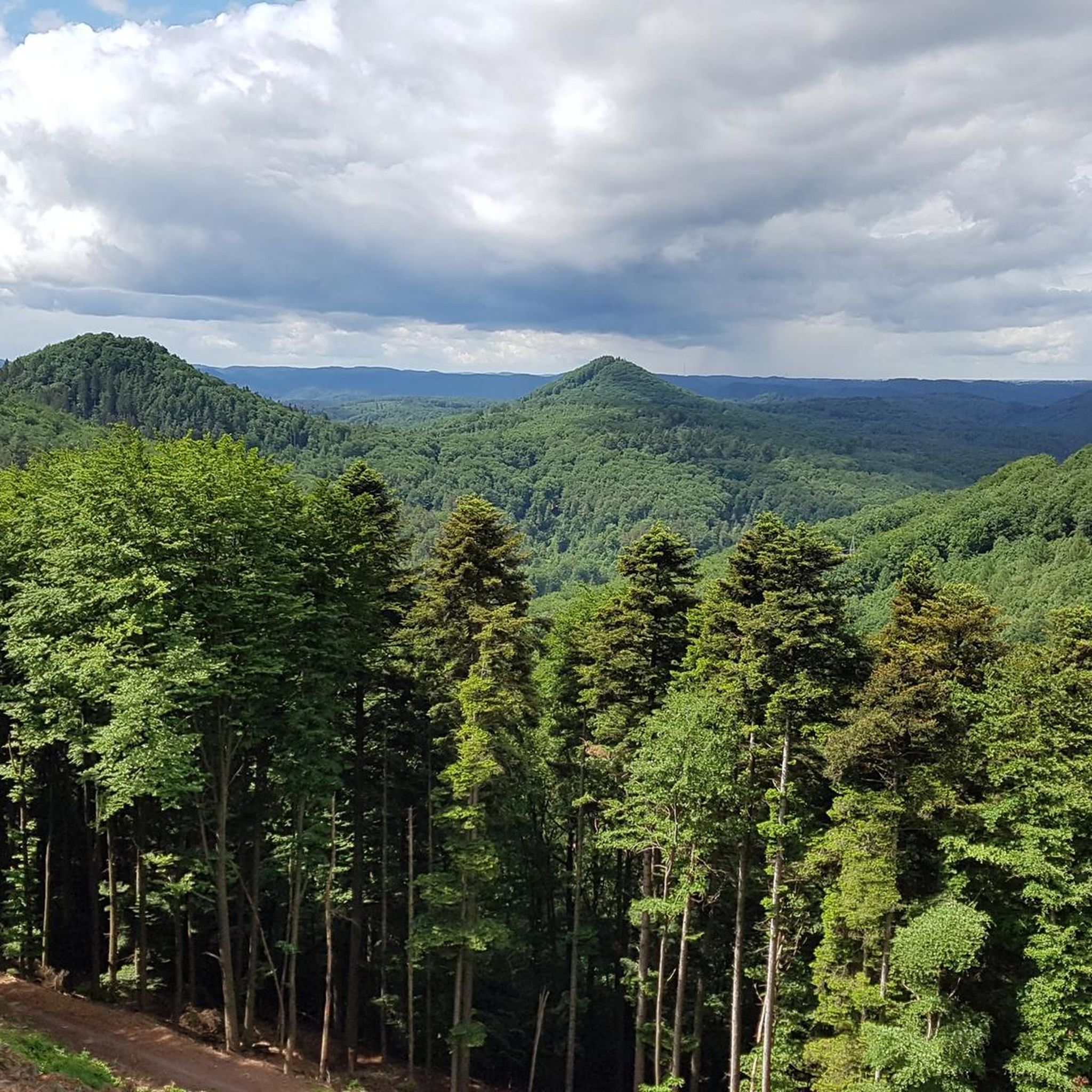
Mountaineering routes in Naturpark Pfälzerwald - Kernzone Quellgebiet Der Wieslauter traverse a landscape characterized by dense forests, sandstone rock formations, and river valleys. This core zone of the Palatinate Forest offers varied terrain suitable for mountaineering activities. The region features a mix of challenging ascents and more moderate paths, often leading to scenic viewpoints.
Best mountaineering routes in Naturpark Pfälzerwald - Kernzone Quellgebiet Der Wieslauter
- The most popular mountaineering route is Wachtfelsen Viewpoint – Lochfelsen loop from Dahn Süd,…
Last updated: July 1, 2026
5.0
(3)
6
hikers
7.80km
02:23
210m
210m
Moderate mountaineering route. Good fitness required. Mostly accessible paths. Sure-footedness required.
5.0
(1)
6
hikers
17.3km
04:58
400m
400m
Moderate mountaineering route. Good fitness required. Mostly accessible paths. Sure-footedness required.

Sign up for free
5.0
(1)
3
hikers
8.19km
02:34
300m
300m
Moderate mountaineering route. Good fitness required. Easily-accessible paths. Suitable for all skill levels.
4
hikers
4.64km
01:27
120m
120m
Moderate mountaineering route. Great for any fitness level. Mostly accessible paths. Sure-footedness required.
5.0
(2)
20
hikers
13.0km
03:54
270m
270m
Moderate mountaineering route. Good fitness required. Mostly accessible paths. Sure-footedness required.
Get access to more routes and recommendations from other explorers.
Sign up for free
Already have an account?
Our route recommendations are based on thousands of hikes, rides, and runs completed by other people on komoot.
Start today with a free account
Your next adventure awaits.
Login or Signup
Popular around Naturpark Pfälzerwald - Kernzone Quellgebiet Der Wieslauter
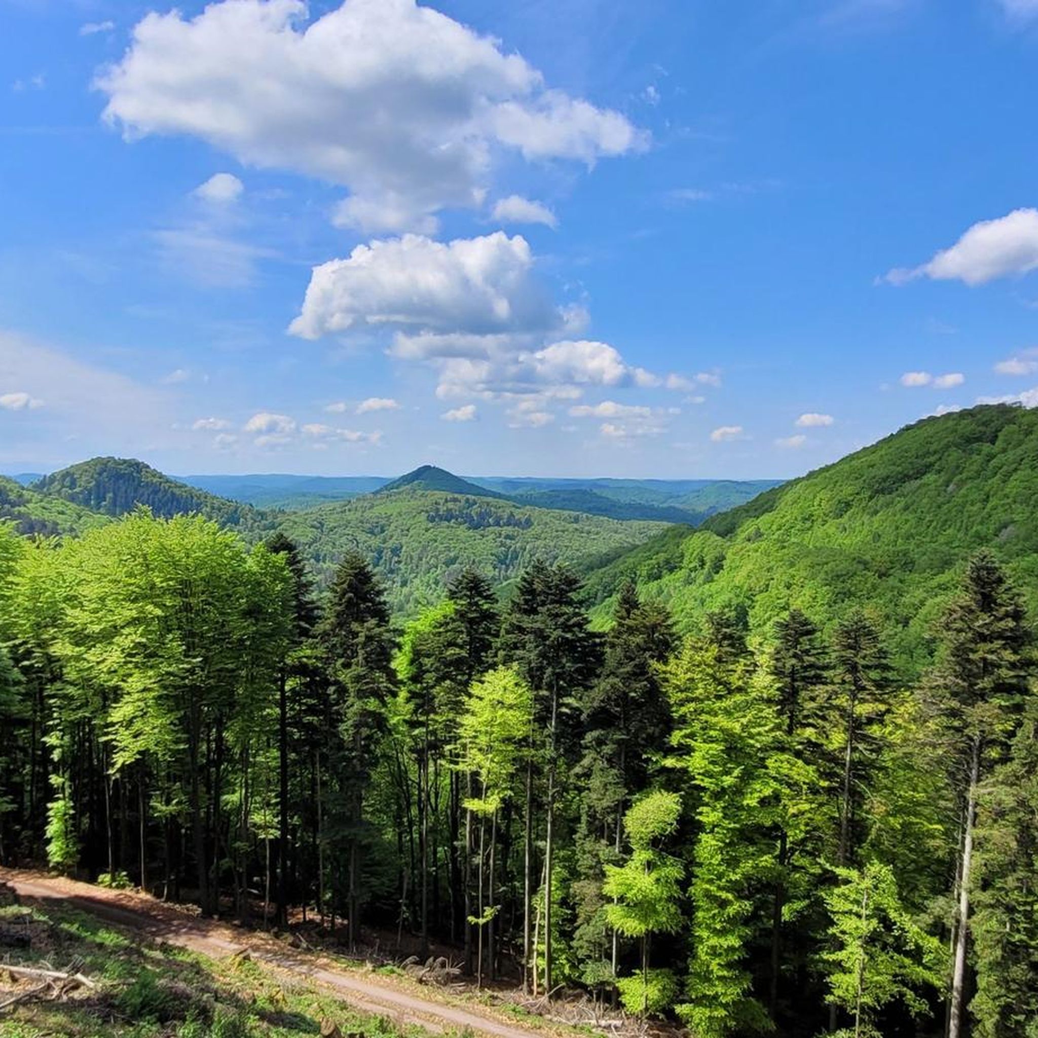
Cycling in Naturpark Pfälzerwald - Kernzone Quellgebiet Der Wieslauter
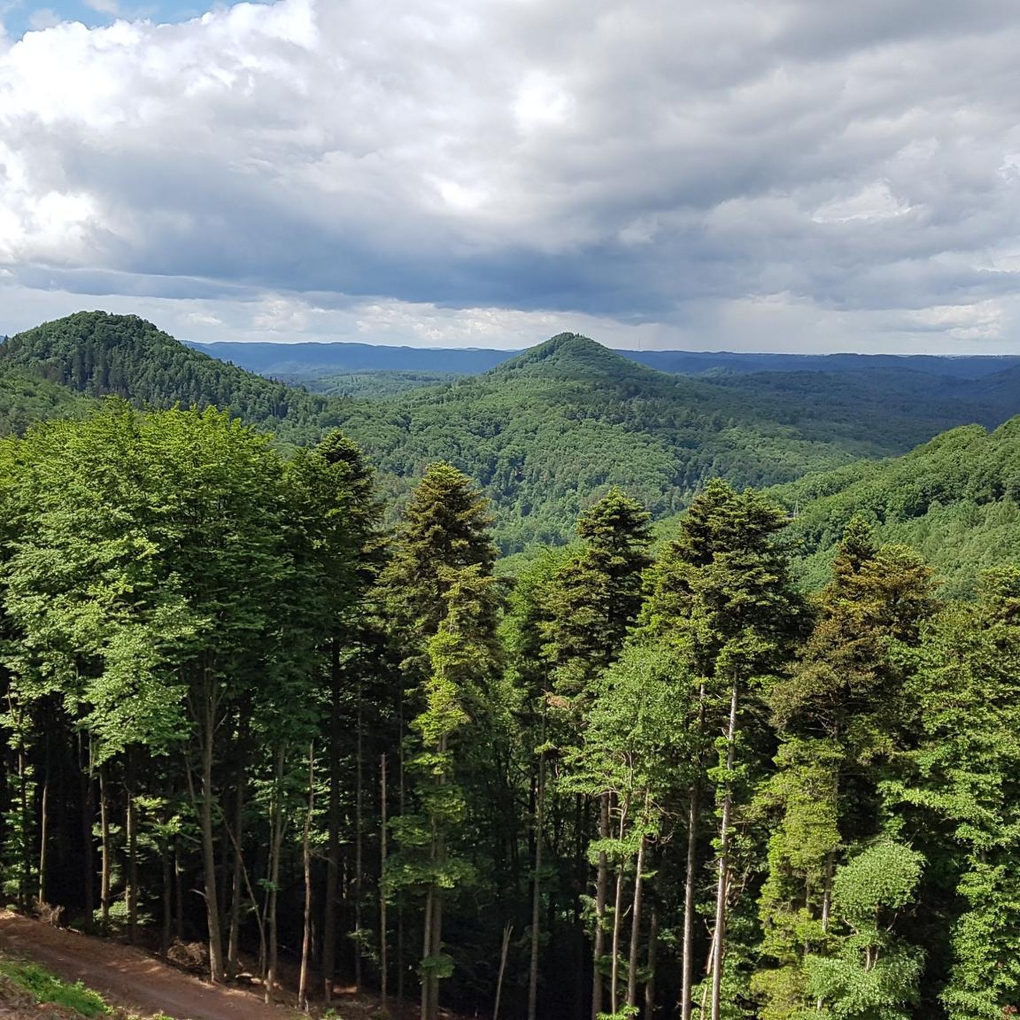
Hiking in Naturpark Pfälzerwald - Kernzone Quellgebiet Der Wieslauter
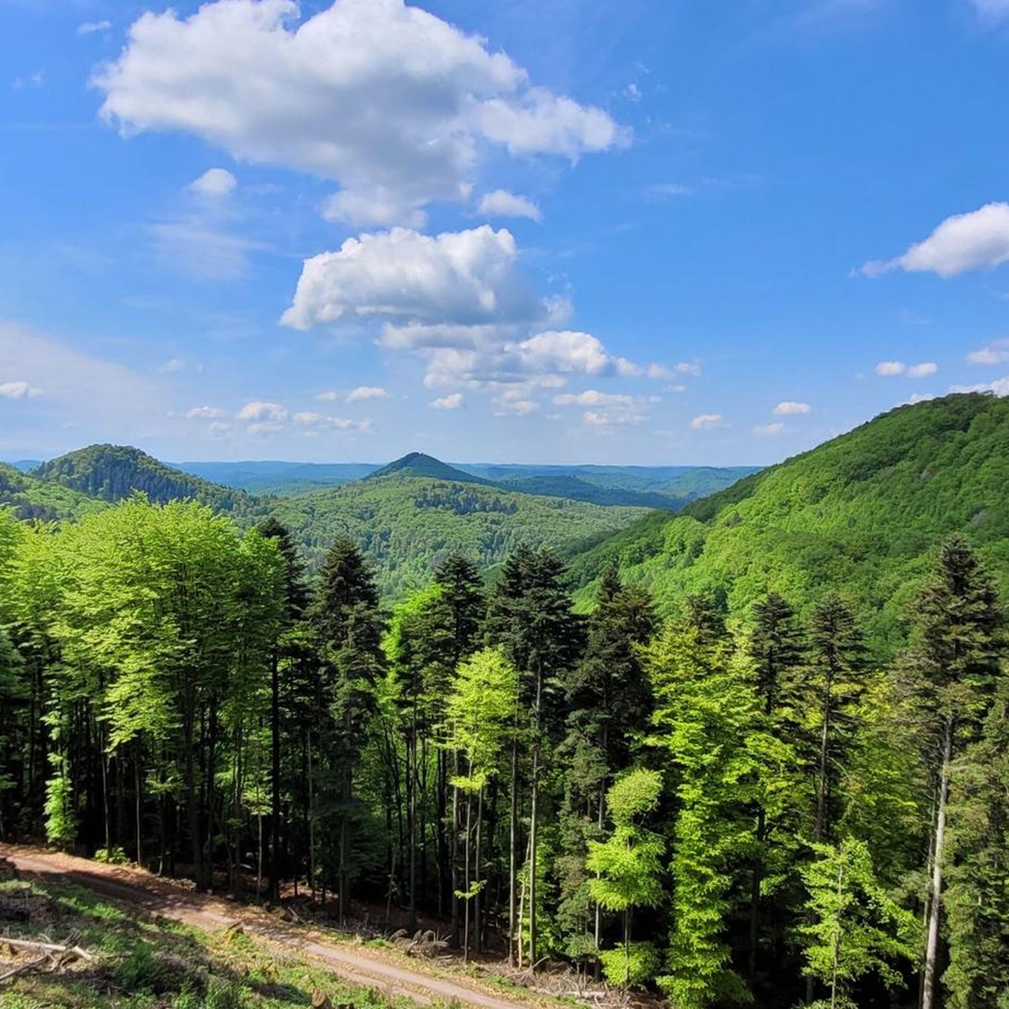
MTB Trails in Naturpark Pfälzerwald - Kernzone Quellgebiet Der Wieslauter
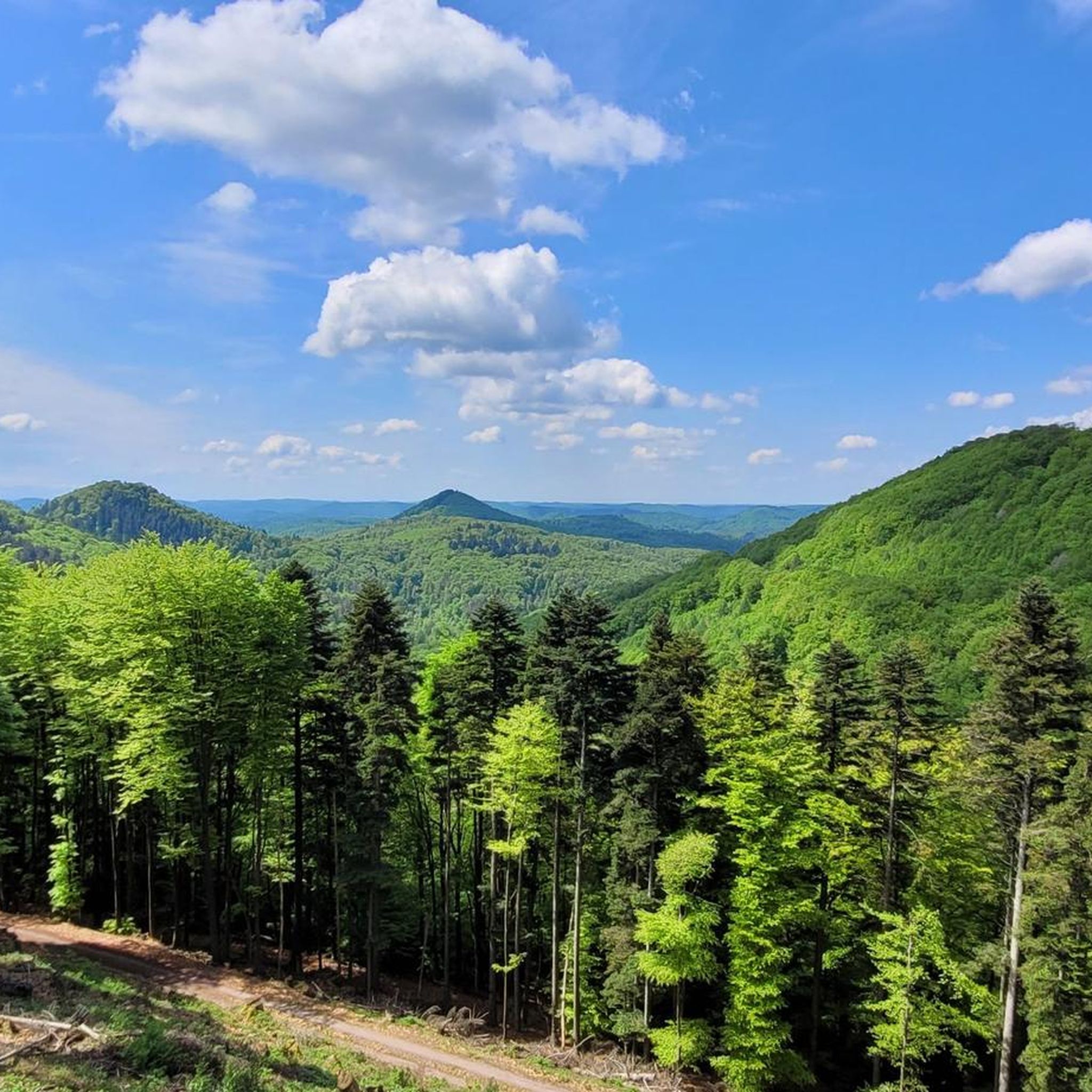
Road Cycling Routes in Naturpark Pfälzerwald - Kernzone Quellgebiet Der Wieslauter

Gravel biking in Naturpark Pfälzerwald - Kernzone Quellgebiet Der Wieslauter
Running Trails in Naturpark Pfälzerwald - Kernzone Quellgebiet Der Wieslauter
Tips from the Community

The silhouette suggests a monster or a hissing dragon.
0
0

Delicious, Delicious, Delicious. Did I say Delicious yet? ... and Palatinate prices.
1
0
Watch out for hikers. Attention steep climb.
0
0

Impressive rock formations can be seen time and again along the circular route through the Dahner Felsenland (Dahn Rock Country).
1
0

The "Grenzpläzl" seating area was built in 2014 by the "Jungrentnern Erfweiler" (Young Pensioners of Erfweiler).
1
0

Typical in the Dahner Felsenland
1
2
Frequently Asked Questions
What is the typical difficulty of mountaineering routes in Naturpark Pfälzerwald - Kernzone Quellgebiet Der Wieslauter?
Most mountaineering routes in this region are classified as moderate, making them accessible to a wide range of hikers. There is also at least one difficult route for those seeking a greater challenge. For example, the Lachbergblick — View of Dahn – Dahner Rock Gate loop from Dahn Süd is rated difficult, while the Falkenburg Ruins – Middle Deichenwand Viewpoint loop from Wilgartswiesen is a moderate option.
How many mountaineering routes are available in Naturpark Pfälzerwald - Kernzone Quellgebiet Der Wieslauter?
There are currently 8 mountaineering routes documented in Naturpark Pfälzerwald - Kernzone Quellgebiet Der Wieslauter, offering a variety of experiences through dense forests and past sandstone formations.
What is the typical length and duration of mountaineering routes here?
The routes vary in length, with many falling between 4.6 miles (7.4 km) and 11.0 miles (17.7 km). Durations typically range from around 2 hours to over 5 hours, depending on the specific route and your pace. For instance, the Stone Sofa loop from Dahn Süd is about 2 hours, while the difficult Lachbergblick — View of Dahn – Dahner Rock Gate loop from Dahn Süd can take over 5 hours.
Are most mountaineering routes in the region circular?
Yes, many of the mountaineering routes in Naturpark Pfälzerwald - Kernzone Quellgebiet Der Wieslauter are designed as circular loops, allowing you to start and end at the same point. This is convenient for those traveling by car. Examples include the Wachtfelsen Viewpoint – Lochfelsen loop from Dahn Süd and the View of Dahn – Elwetritsche Rock loop from Dahn.
What kind of natural attractions can I expect to see along the routes?
The region is known for its unique sandstone rock formations, dense forests, and river valleys. You might encounter natural monuments like the Wild Boar Rock, explore the serene Zieglertal, or discover the tranquil Königswoog lake. The Wieslauter Spring is also a notable natural feature.
When is the best time of year for mountaineering in Naturpark Pfälzerwald - Kernzone Quellgebiet Der Wieslauter?
The Palatinate Forest generally offers pleasant conditions for mountaineering from spring through autumn. Spring brings blooming flora, summer provides lush green canopies, and autumn showcases vibrant fall colors. While winter mountaineering is possible, some paths might be slippery or require appropriate gear due to snow or ice.
Are there any historical landmarks or points of interest along the mountaineering routes?
Yes, the region features several historical and cultural points of interest. You can explore the Falkenburg Ruins, which offer a glimpse into the area's past. Additionally, you might come across 'Rittersteine' (knight's stones) such as Knight's stone no. 54: Sheep farm or Ritterstein 'Am Holländerklotz', which mark historical paths and boundaries.
What do other mountaineers enjoy most about the region?
The area is highly rated by the komoot community, with an average score of 5.0 stars. Reviewers often praise the diverse terrain, the prominent rock formations, and the peaceful forest paths that characterize the mountaineering experience in Naturpark Pfälzerwald - Kernzone Quellgebiet Der Wieslauter.
Are the mountaineering routes in Naturpark Pfälzerwald - Kernzone Quellgebiet Der Wieslauter suitable for families?
While many routes are moderate, some shorter, less strenuous paths might be suitable for families with older children who are accustomed to hiking. Always check the specific route details for distance and elevation gain to ensure it matches your family's capabilities. The region's natural beauty offers a great outdoor experience for all.
Are dogs allowed on the mountaineering trails?
Generally, dogs are welcome on hiking trails in the Naturpark Pfälzerwald, but it's always advisable to keep them on a leash, especially in nature reserve areas or near wildlife. Ensure your dog is well-behaved and that you carry waste bags to maintain the cleanliness of the natural environment.
Is parking available at the trailheads for these routes?
Yes, for many popular starting points like Dahn Süd or Wilgartswiesen, you will typically find designated parking areas. It's always a good idea to check the specific trailhead information on komoot or local signage for the most accurate parking details before you set out.
Can I find places to eat or drink near the mountaineering routes?
While the core zone emphasizes nature, you'll often find cafes, restaurants, or traditional 'Hütten' (huts) in nearby towns and villages such as Dahn or Wilgartswiesen, which serve as starting points or are easily accessible from the trails. It's recommended to carry sufficient water and snacks, especially on longer routes.
Most popular routes in Naturpark Pfälzerwald - Kernzone Quellgebiet Der Wieslauter
Most popular attractions in Naturpark Pfälzerwald - Kernzone Quellgebiet Der Wieslauter

Get inspired with the komoot mobile app


Explore more
Browse the best Mountain Hikes & Routes in other regions.
