Naturpark Pfälzerwald - Kernzone Quellgebiet Der Wieslauter
Naturpark Pfälzerwald - Kernzone Quellgebiet Der Wieslauter
The best walks and hikes in Naturpark Pfälzerwald - Kernzone Quellgebiet Der Wieslauter
4.6
(35097)
124,000
hikers
27
hikes
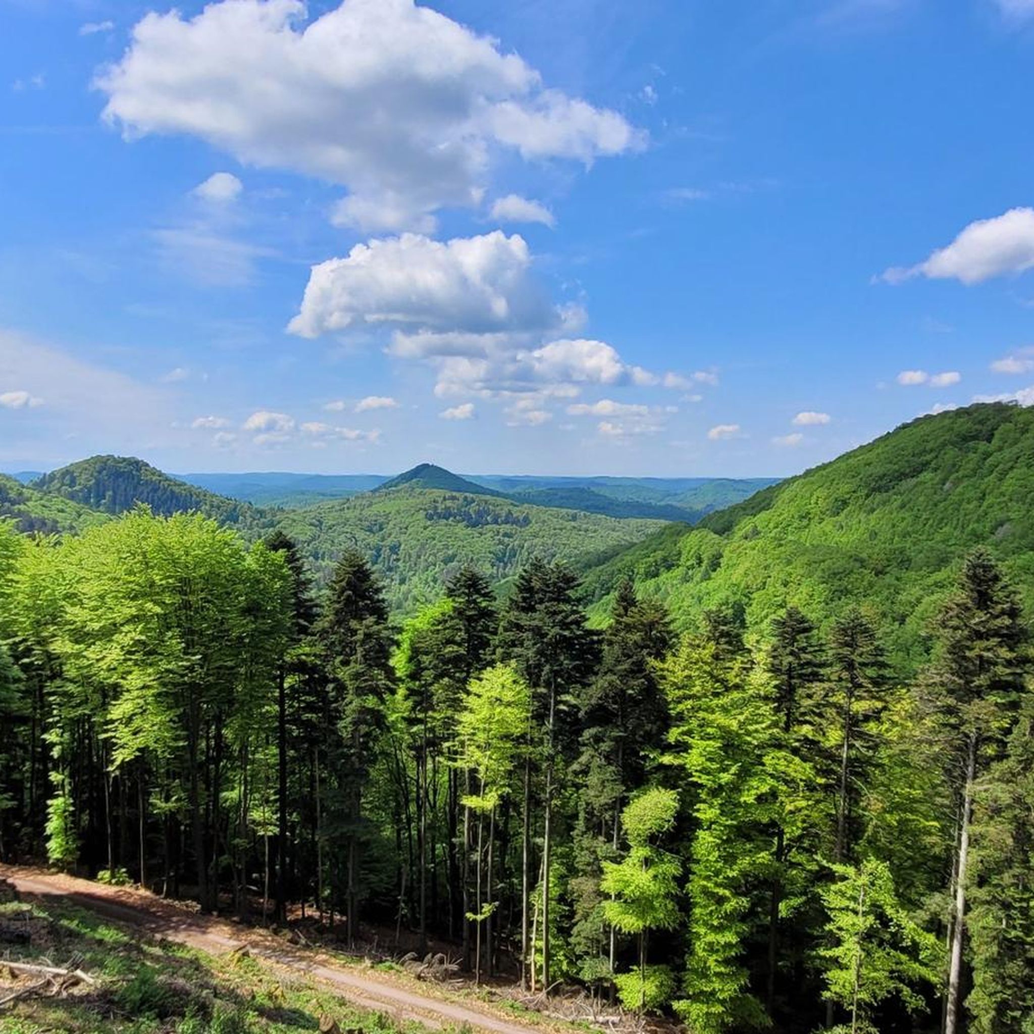
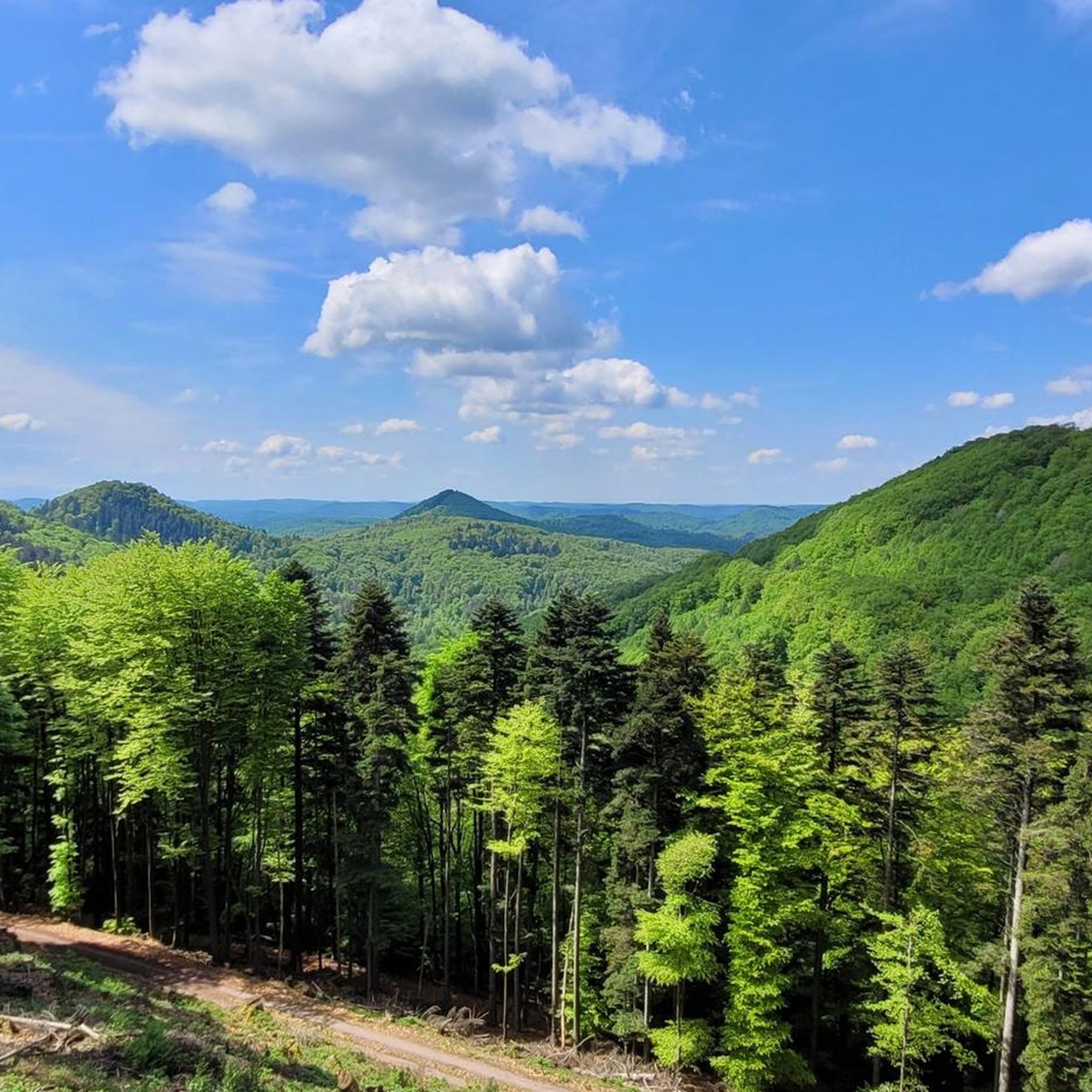
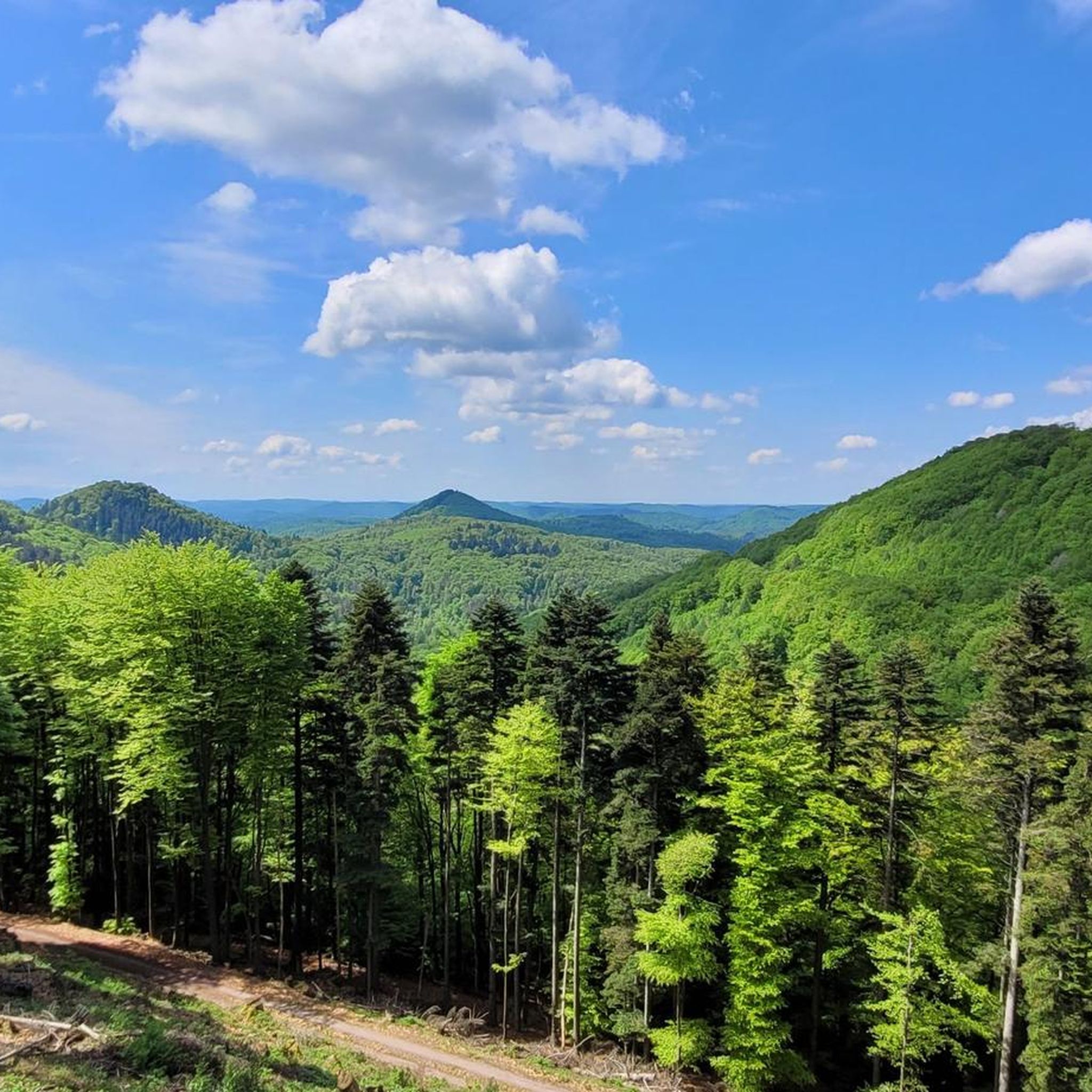
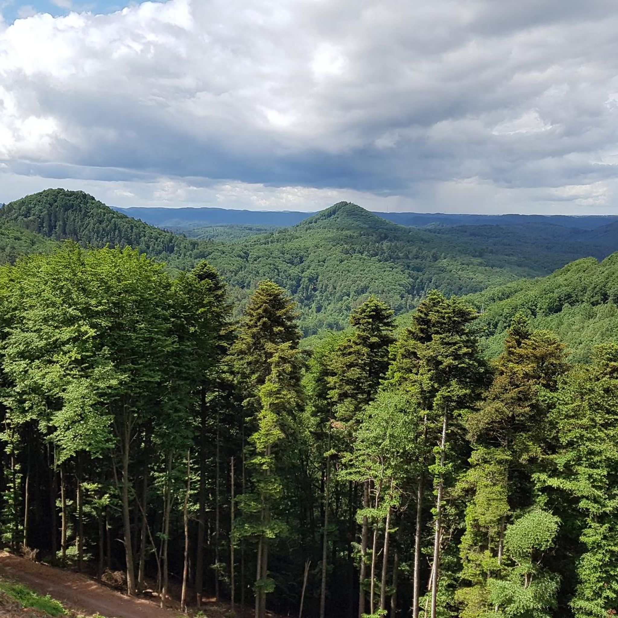
Hiking in Naturpark Pfälzerwald - Kernzone Quellgebiet Der Wieslauter offers routes through a UNESCO Biosphere Reserve, characterized by diverse forests, including natural beech and oak-beech stands. The landscape features distinctive red sandstone formations, such as steep slopes and rocky reefs, alongside the source area of the Wieslauter river. This core zone is largely left to natural processes, allowing for the development of primeval forest characteristics. The terrain includes varied elevations, with some routes leading to viewpoints like the Luitpoldturm.
Best…
Last updated: July 4, 2026
4.8
(105)
340
hikers
13.1km
03:41
270m
270m
Moderate hike. Good fitness required. Easily-accessible paths. Suitable for all skill levels.
4.6
(25)
79
hikers
21.0km
06:06
530m
530m
Hard hike. Very good fitness required. Easily-accessible paths. Suitable for all skill levels.

Sign up for free
4.6
(39)
98
hikers
10.0km
02:51
230m
230m
Moderate hike. Good fitness required. Easily-accessible paths. Suitable for all skill levels.
4.4
(18)
47
hikers
8.71km
02:23
140m
140m
Moderate hike. Good fitness required. Easily-accessible paths. Suitable for all skill levels.
4.7
(20)
69
hikers
Easy hike. Great for any fitness level. Easily-accessible paths. Suitable for all skill levels.
Get access to more routes and recommendations from other explorers.
Sign up for free
Already have an account?
Our route recommendations are based on thousands of hikes, rides, and runs completed by other people on komoot.
Start today with a free account
Your next adventure awaits.
Login or Signup
Popular around Naturpark Pfälzerwald - Kernzone Quellgebiet Der Wieslauter
Cycling in Naturpark Pfälzerwald - Kernzone Quellgebiet Der Wieslauter
MTB Trails in Naturpark Pfälzerwald - Kernzone Quellgebiet Der Wieslauter
Road Cycling Routes in Naturpark Pfälzerwald - Kernzone Quellgebiet Der Wieslauter

Gravel biking in Naturpark Pfälzerwald - Kernzone Quellgebiet Der Wieslauter
Running Trails in Naturpark Pfälzerwald - Kernzone Quellgebiet Der Wieslauter
Mountain Hikes in Naturpark Pfälzerwald - Kernzone Quellgebiet Der Wieslauter
Tips from the Community

Shady resting place on the Wieslauter. Humorous naming.
0
0

The Ritterstein No. 71, inscribed "Am Holläenderklotz," is located approximately 600 meters north of the Luitpold Tower. The Ritterstein stands in the center of a hiking parking lot. Next to the Ritterstein grows an oak tree nearly 20 meters tall. The inscription is misspelled as "Holläender." At the end of the 17th century, numerous Dutchmen came to the Palatinate Forest to acquire particularly large tree trunks for shipbuilding. This led to the development of names such as Holländerschlag (Dutch clearing), Holländerbäume (Dutch trees), Holländerholz (Dutch wood), Holländerweg (Dutch path), and Holländerfahrer (Dutchman driver). ...
1
0
Husarenfelsen: A low, massive chain of red sandstone formations west of the Luitpold Tower and east of the Weißenberg Hut, maximum height: 14m
1
0

Superb 360° view. At the foot of the Tower there is a room with a table and a fireplace.
0
0

A very nice path, S1, marked with a red crossbar on a tree, which leads down into the Wieslauter valley, or vice versa, slightly offset from the fork in the path before the Schlossberg (which leads to the Gräfenstein ruins). As mentioned, the starting point is slightly offset... be careful, there are two paths there... the other one marked with a green cross, also nice, but it doesn't lead towards Wieslauterhof.
0
0

Beautiful view from the Palatinate Forest Trail 🏞 - Wilgartswiesen - Hauenstein Municipality - Southwest Palatinate District
0
0
Husarenfels - Beautiful view from below - Low mountain range west of the Luitpoldsturm and near the Weißenberg Hut on the NatURWALDpfad (Natural Forest Trail) - Merzalben - Verbandsgemeinde Rodalben - LKR. Südwestpfalz
0
0
Beautiful view of the Luitpold Tower 610 m above sea level on the Weißenberg ⛰ from Hermersbergerhof, a hamlet in the municipality of Wilgartswiesen
0
0
Frequently Asked Questions
How many hiking trails are available in Naturpark Pfälzerwald - Kernzone Quellgebiet Der Wieslauter?
There are over 25 hiking routes available in Naturpark Pfälzerwald - Kernzone Quellgebiet Der Wieslauter, ranging from easy strolls to more challenging treks. This includes 15 easy, 11 moderate, and 1 difficult route.
What makes hiking in Naturpark Pfälzerwald - Kernzone Quellgebiet Der Wieslauter unique?
This region is the largest core zone within the UNESCO Biosphere Reserve Pfälzerwald-Nordvogesen, offering a unique 'Urwald' (primeval forest) character where nature is largely left to its own processes. You'll experience diverse forests, distinctive red sandstone formations like the 'Bollen', and the source area of the Wieslauter river.
What kind of terrain can I expect on the hiking trails?
The terrain primarily features natural beech and oak-beech forests. You'll encounter varied elevations, including steep slopes with rocky reefs and edges formed by the region's characteristic red sandstone. Some paths might have natural obstacles like fallen trees, as the core zone is left largely untouched.
Are there easy hiking options suitable for beginners or casual walkers?
Yes, there are 15 easy routes available. These trails are generally less strenuous and allow you to enjoy the natural beauty without significant physical demands. For example, a nature walk through the Zieglertal is a good option for a less strenuous experience.
What natural landmarks or viewpoints can I discover while hiking?
You can explore distinctive red sandstone formations such as the 'Bollen' (Breite Boll, Spitze Boll, Große Boll), Otterfelsen, and Husarenfels. The Wieslauter Spring is also a notable natural feature. For panoramic views, the Luitpoldturm (Luitpold Tower) offers magnificent vistas over the core zone. You might also encounter the Wild Boar Rock or the tranquil Königswoog.
Are there any circular hiking routes?
Yes, many routes in the region are circular. For instance, the Beautiful trail – Durchguckfelsen loop from Burg Gräfenstein is a popular circular option. Another example is the Luitpold Tower on Weißenberg – Luitpold Tower loop from Weißenberg, which offers views from the tower.
Can I bring my dog on the hiking trails?
While dogs are generally welcome in the Naturpark, it's crucial to keep them on a leash, especially within the core zone. This protects the sensitive ecosystem and wildlife. Always adhere to local signage regarding dog access.
Are the hiking trails in the core zone suitable for families with children?
Many of the easy and moderate routes are suitable for families, especially those seeking a nature experience. However, as it's a core zone, staying on marked paths is mandatory, and some areas might have natural obstacles. Shorter, less strenuous options like a nature walk through the Zieglertal are often ideal for families.
What do other hikers enjoy most about the trails here?
The area is highly rated by the komoot community, with an average score of 4.5 stars from over 1,500 reviews. Hikers often praise the unique 'Urwald' character, the impressive red sandstone formations, and the peaceful, untouched nature of the core zone.
Is it possible to visit the source of the Wieslauter river?
Yes, the region encompasses the source area of the Wieslauter river. You can visit the Wieslauter Spring (Ritterstein No. 230), which is a notable natural monument within the core zone.
Are there any guided tours available to explore the 'Urwald'?
Yes, guided 'Urwald-Exkursionen' (primeval forest excursions) with Biosphere Guides are highly recommended. These tours offer a safe way to experience the wilderness and learn about the ecological significance of the core zone, especially since fallen trees might not be removed from paths in this untouched area.
What are the rules for hiking in the core zone?
To protect the sensitive ecosystem, it is strictly forbidden to leave the marked paths within the core zone. This rule ensures that the natural processes can continue undisturbed and helps preserve the unique 'Urwald' character of the area.
Most popular routes in Naturpark Pfälzerwald - Kernzone Quellgebiet Der Wieslauter
Most popular attractions in Naturpark Pfälzerwald - Kernzone Quellgebiet Der Wieslauter

Get inspired with the komoot mobile app


Explore more
Browse the best Hikes in other regions.
