Oberweißbach/Thüringer Wald
Oberweißbach/Thüringer Wald
The 8 Most Amazing Peaks around Oberweißbach/Thüringer Wald
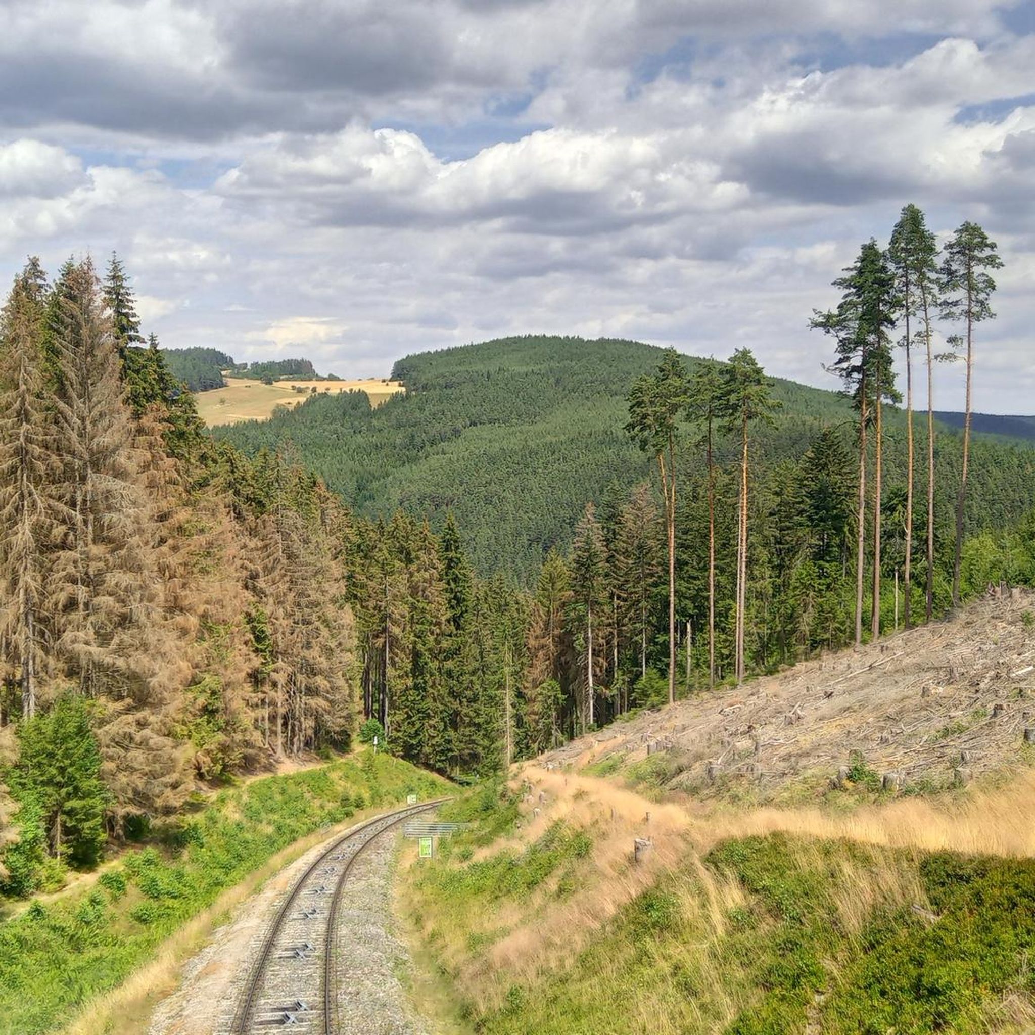
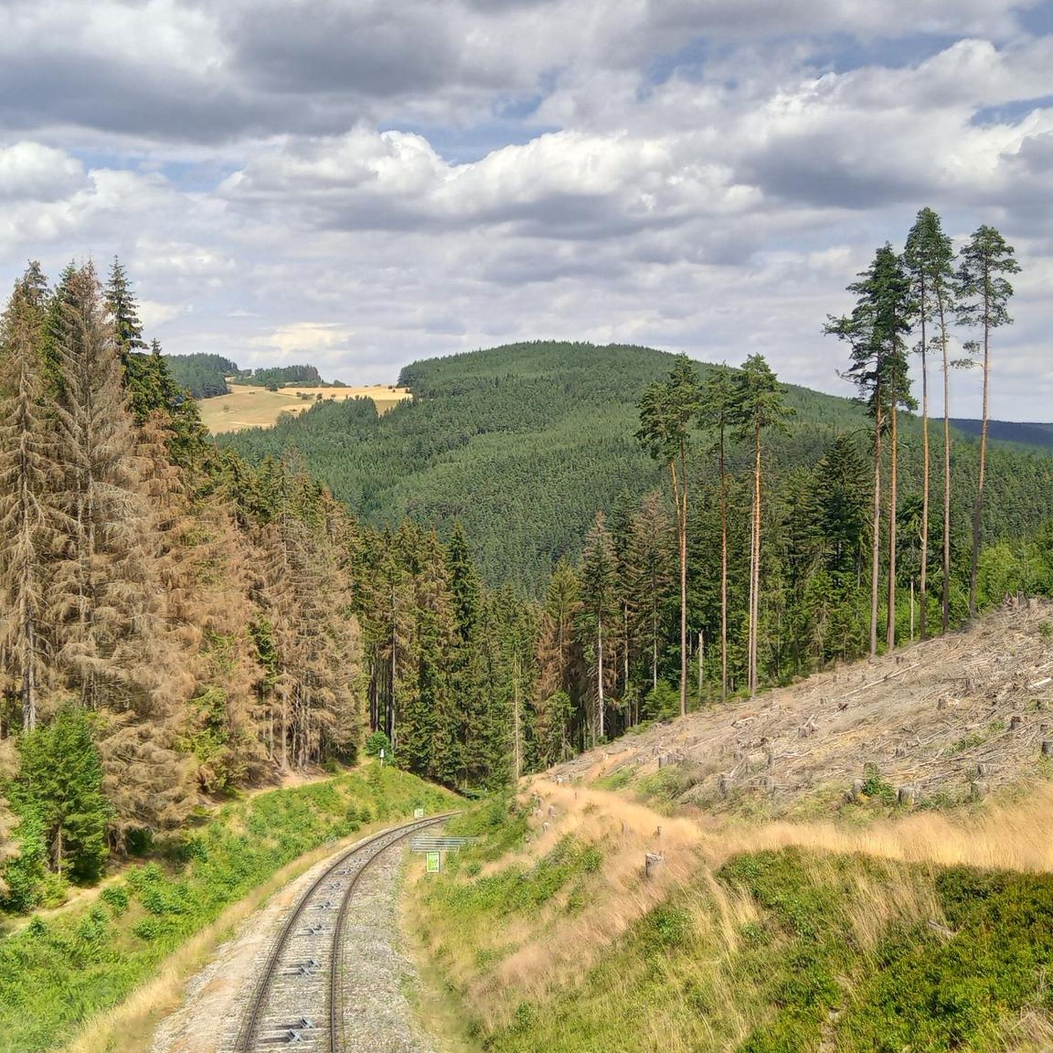
Best mountain peaks around Oberweißbach/Thüringer Wald are found within the Thuringian Forest, a region characterized by its forested mountains and diverse landscape. This area features numerous summits, observation towers, and historical landmarks. The terrain provides opportunities for exploring both natural and man-made attractions.
Best mountain peaks around Oberweißbach/Thüringer Wald
- The most popular mountain peaks is Prince Karl-Günther Monument on Langer Berg, a man-made monument and historical site that stands on an 808 meter high mountain ridge. It offers views towards Gehren and commemorates Karl Günther of Schwarzburg-Sondershausen.
- Another must-see spot is Meuselbacher Kuppe Observation Tower and Guesthouse, a viewpoint with a guesthouse. Visitors can enjoy panoramic views from the tower and find a restaurant for refreshments.
- Visitors also love Barigauer Turm Observation Tower, a family-friendly observation tower. Built in 1912, it provides panoramic views of over 40 villages, towns, and other mountain peaks from 664.6 meters.
- Oberweißbach/Thüringer Wald is known for its observation towers, historical monuments, and natural summits. The region offers a variety of mountain peaks to explore, ranging from accessible viewpoints to more challenging routes.
- The mountain peaks around Oberweißbach/Thüringer Wald are appreciated by the komoot community, with more than 270 upvotes and 260 photos shared by visitors.
Last updated: October 2, 2026
Meuselbacher Kuppe Observation Tower and Guesthouse
Highlight • Viewpoint
Translated by Google •
Tip by

Prince Karl-Günther Monument on Langer Berg
Highlight • Monument
On top of the mountain stands the Prince Günther Monument. It was erected in honor of
Karl Günther of Schwarzburg-Sondershausen.
Translated by Google •
Tip by

Sign up now to discover places like this
Get recommendations on the best single tracks, peaks, & plenty of other exciting outdoor places.
Barigauer Turm Observation Tower
Highlight • Viewpoint
Translated by Google •
Tip by

Wurzelberg Shelter
Highlight • Mountain Hut
OTZ January 6th, 2023: A storm and, as a result, a falling tree severely damaged the Wurzelberghütte in the forest between Katzhütte, Goldisthal and Scheibe-Alsbach.
Translated by Google •
Tip by

Summit Cross above Döschnitz
Highlight • Summit
What a lovely spot! A rest at this place is always recommended, be it on foot or by mountain bike. With a cloudless sky, the sun is guaranteed here! But please don't leave any rubbish!
Translated by Google •
Tip by

Sign up for free to discover even more peaks around Oberweißbach/Thüringer Wald.
Already have an account?
Start today with a free account
Your next adventure awaits.
Popular around Oberweißbach/Thüringer Wald

Forest, vastness and water – day trips in the Thuringian Forest
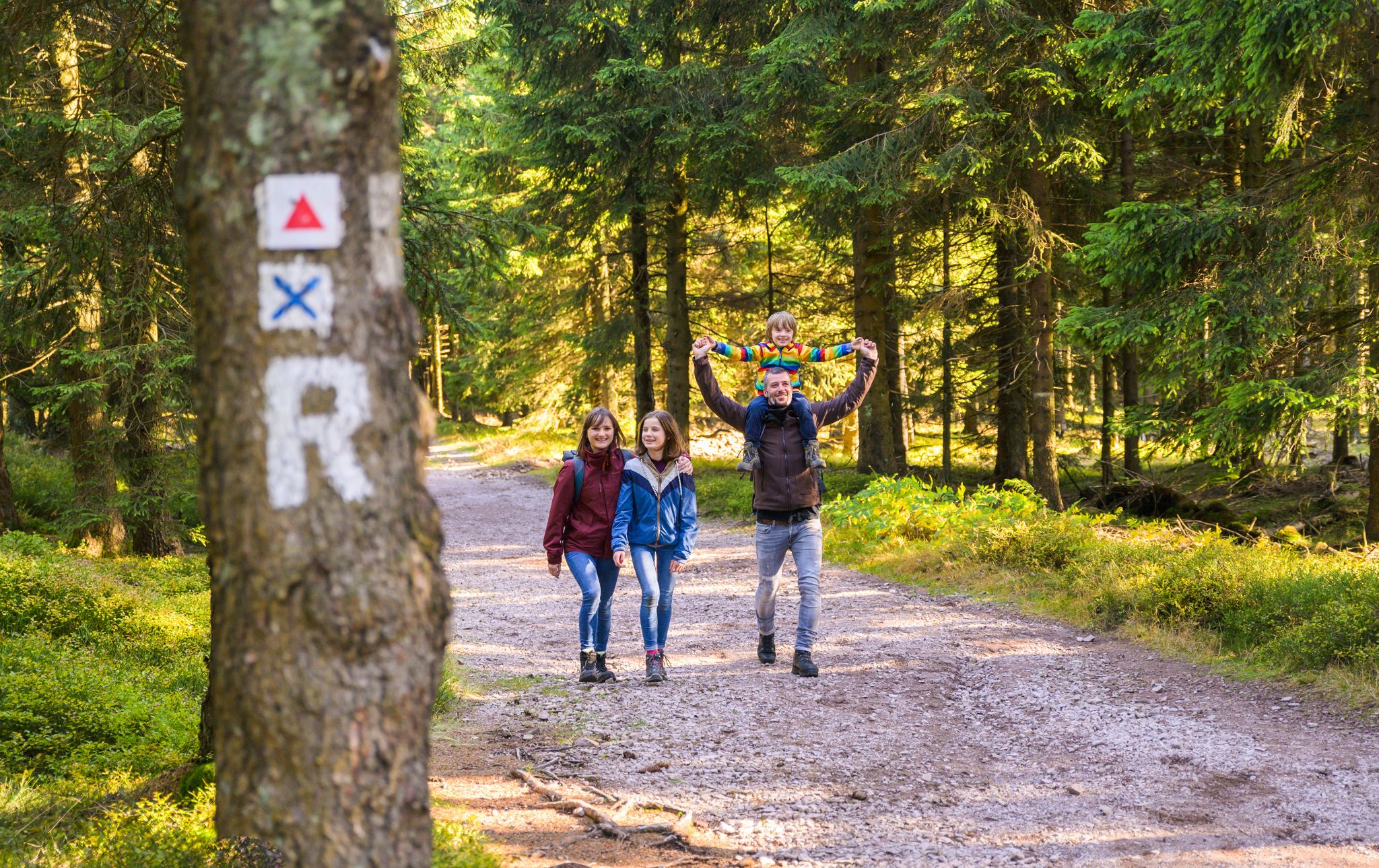
Play, nature and good fun – family hikes in the Thuringian Forest
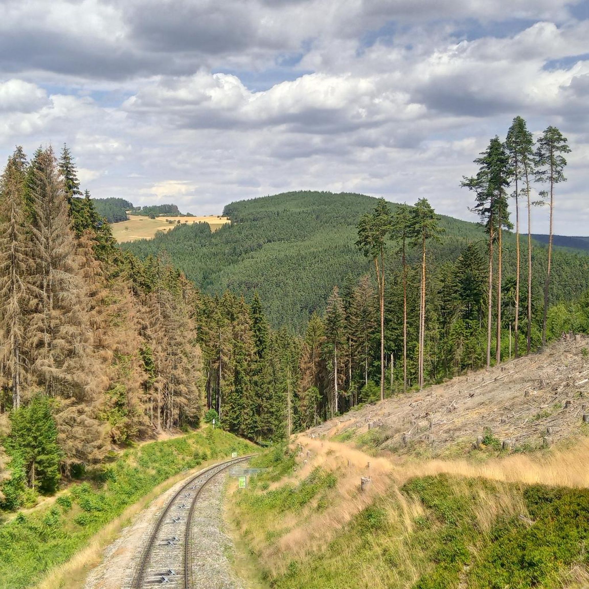
Hiking around Oberweißbach/Thüringer Wald
Cycling around Oberweißbach/Thüringer Wald
Road Cycling Routes around Oberweißbach/Thüringer Wald
Running Trails around Oberweißbach/Thüringer Wald
MTB Trails around Oberweißbach/Thüringer Wald
Gravel biking around Oberweißbach/Thüringer Wald
Other adventures around Oberweißbach/Thüringer Wald

Tips from the Community

The Barigauer Tower is an observation tower on the Barigauer Höhe near Barigau, a district of Königsee in the Saalfeld-Rudolstadt district of Thuringia. Built in 1912, it offers impressive panoramic views of the region from a height of 664.6 meters. On a clear day, you can see over 43 villages, towns, and famous mountain peaks from here, including the Schneekopf near Ilmenau and the Leuchtenburg Castle in Kahla. Next to the tower, there is a restaurant that welcomes hikers and visitors.
0
0

The Lange Berg is an 808 meter high mountain ridge in the northern Thuringian Forest. On top of the mountain stands the Prince Günther Monument. It was erected in honor of Karl Günther of Schwarzburg-Sondershausen.
15
0

A worthwhile excursion destination has been reopened. I can't form an opinion about Essen yet.
2
0

The inn will reopen on June 1, 2024: https://www.barigauer-turm.de/.
2
0

Döschnitz is off the main roads, but is a place worth seeing with pretty houses and a local history museum.
0
0

A really great and impressive monument in honor of our Sondershausen princes! 🤩
7
0

Passing the town, we reach the Barigauer Höhe at 665 meters and the tower, which is closed for renovation. We are nevertheless rewarded with a beautiful view. From here, up to 48 villages and towns as well as a large number of mountain peaks can be seen.
3
0
At an altitude of 786.1 m, we reach the Meuselbacher Kuppe. The inn with its tower is unfortunately closed. Today, the view over the valleys and mountains is dull and gray.
3
1
Frequently Asked Questions
Which mountain peaks offer the best panoramic views in Oberweißbach/Thüringer Wald?
For stunning panoramic views, consider visiting the Meuselbacher Kuppe Observation Tower and Guesthouse, which provides magnificent vistas and a place to refresh. Another excellent option is the Barigauer Turm Observation Tower, where you can see over 40 villages and towns from its 664.6-meter height. The Prince Karl-Günther Monument on Langer Berg also offers beautiful views towards Gehren.
Are there family-friendly mountain trails or peaks in the Oberweißbach/Thüringer Wald region?
Yes, the Barigauer Turm Observation Tower is explicitly noted as family-friendly, offering impressive views. For a family-friendly hike, the 'Children's adventure trail from Lichtenhain' is an easy option available in the region. You can find more details on family-friendly hiking routes in the Hiking around Oberweißbach/Thüringer Wald guide.
What historical sites can be found on the mountain peaks around Oberweißbach/Thüringer Wald?
The Prince Karl-Günther Monument on Langer Berg is a significant historical site, erected in honor of Karl Günther of Schwarzburg-Sondershausen. The Barigauer Turm Observation Tower, built in 1912, also has historical significance. Additionally, the Wurzelberg Shelter area has a memorial stone commemorating a fish pond created in 1740.
Are there any places to eat or get refreshments near the mountain trails?
Yes, both the Meuselbacher Kuppe Observation Tower and Guesthouse and the Barigauer Turm Observation Tower feature guesthouses or restaurants where visitors can enjoy refreshments and meals after their hikes.
What kind of hiking trails are available near the mountain peaks in Oberweißbach/Thüringer Wald?
The region offers a variety of hiking trails, from easy to moderate. Examples include the 'Children's adventure trail from Lichtenhain' for an easy walk, and moderate routes like the 'Leibis-Lichte Dam – Fröbel Observation Tower loop from Oberweißbach-Deesbach' or the 'Herb hut (Kräuterhütte) – Playground at Fröbel Tower loop from Oberweißbach'. You can explore more options in the Hiking around Oberweißbach/Thüringer Wald guide.
Can I find shelters or huts along the mountain trails in this area?
Yes, the Wurzelberg Shelter is a notable hut in the forest between Katzhütte, Goldisthal, and Scheibe-Alsbach. It serves as a hideaway for hikers, and in the past, it was possible to stay overnight in a sleeping bag under its roof.
What do visitors particularly enjoy about the mountain peaks in Oberweißbach/Thüringer Wald?
Visitors frequently praise the magnificent panoramic views from various observation towers and summits. The historical significance of sites like the Prince Karl-Günther Monument and the welcoming guesthouses also contribute to a positive experience. The region is appreciated for its diverse landscape and opportunities for exploration.
Are there any less crowded mountain hikes or viewpoints in the region?
While popular spots like the observation towers can attract visitors, exploring lesser-known summits such as the Summit Cross above Döschnitz can offer a more tranquil experience. This spot is described as a lovely place for a rest, away from the main roads.
What other outdoor activities can I do near the mountain peaks in Oberweißbach/Thüringer Wald?
Besides hiking, the region is excellent for cycling. You can find numerous routes for road cycling and touring bicycles. For road cycling, check out the Road Cycling Routes around Oberweißbach/Thüringer Wald guide. For general cycling, refer to the Cycling around Oberweißbach/Thüringer Wald guide.
What is the difficulty level of the mountain peaks and trails in this area?
Most of the highlighted mountain peaks and associated trails are considered intermediate in difficulty, such as the Meuselbacher Kuppe and Prince Karl-Günther Monument. However, there are also easy options like the 'Children's adventure trail' and moderate hiking loops available, catering to various fitness levels.
Are there any specific mountain peaks known for their natural features?
The region is characterized by its forested mountains. While specific natural features like lakes are not highlighted for individual peaks, the Wurzelberg Shelter is located in a forest setting with a nearby spring, and the general area of the Thuringian Forest offers a diverse natural landscape.
Most popular routes around Oberweißbach/Thüringer Wald
Most popular attractions around Oberweißbach/Thüringer Wald

Get inspired with the komoot mobile app


Explore more
See even more amazing summits around Oberweißbach/Thüringer Wald with these guides:
