The best running trails around Oberweißbach/Thüringer Wald
4.3
(83)
840
runners
76
runs
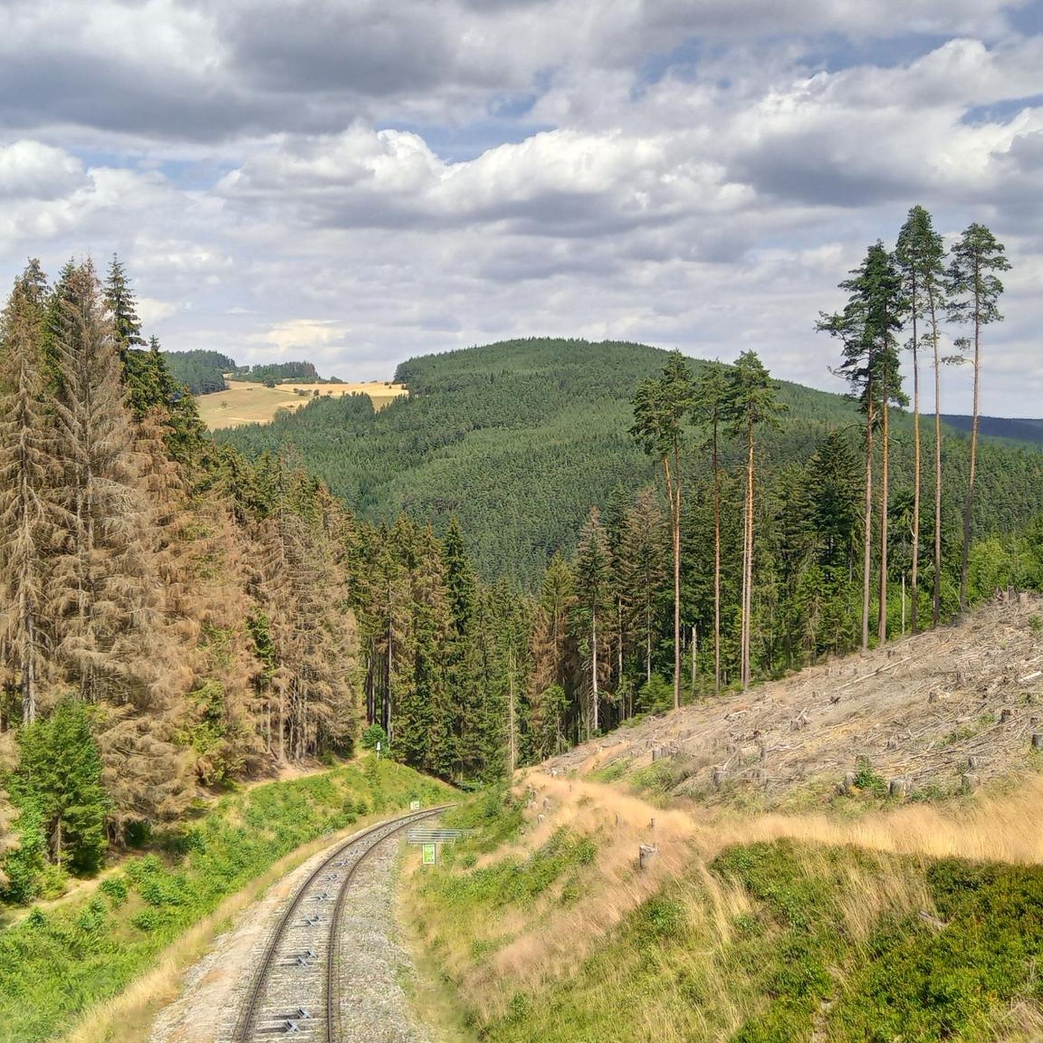
Jogging routes around Oberweißbach/Thüringer Wald traverse a diverse low mountain range landscape, situated at an altitude of 570-700 meters. The region is characterized by rolling hills, steep valleys, and easily accessible ridges, providing varied terrain for running. Extensive spruce and beech-fir forests, along with vibrant mountain meadows, offer a refreshing atmosphere for trail running. The picturesque Schwarzatal valley also features scenic routes along the Schwarza river.
Best jogging routes around Oberweißbach/Thüringer Wald
- The most popular jogging route is Running loop…
Last updated: September 28, 2026
5.0
(2)
39
runners
Hard run. Very good fitness required. Sure-footedness, sturdy shoes and alpine experience required.
5.0
(2)
36
runners
Hard run. Very good fitness required. Mostly paved surfaces. Suitable for all skill levels.

5.0
(1)
8
runners
4.99km
00:32
80m
80m
Easy run. Great for any fitness level. Mostly paved surfaces. Suitable for all skill levels.
1.0
(1)
5
runners
6.55km
00:45
160m
150m
Moderate run. Good fitness required. Mostly paved surfaces. Suitable for all skill levels.
5.0
(2)
5
runners
9.77km
01:08
220m
220m
Moderate run. Good fitness required. Mostly paved surfaces. Suitable for all skill levels.
Get access to more routes and recommendations from other explorers.
Already have an account?
Our route recommendations are based on thousands of hikes, rides, and runs completed by other people on komoot.
Start today with a free account
Your next adventure awaits.
Popular around Oberweißbach/Thüringer Wald

Forest, vastness and water – day trips in the Thuringian Forest
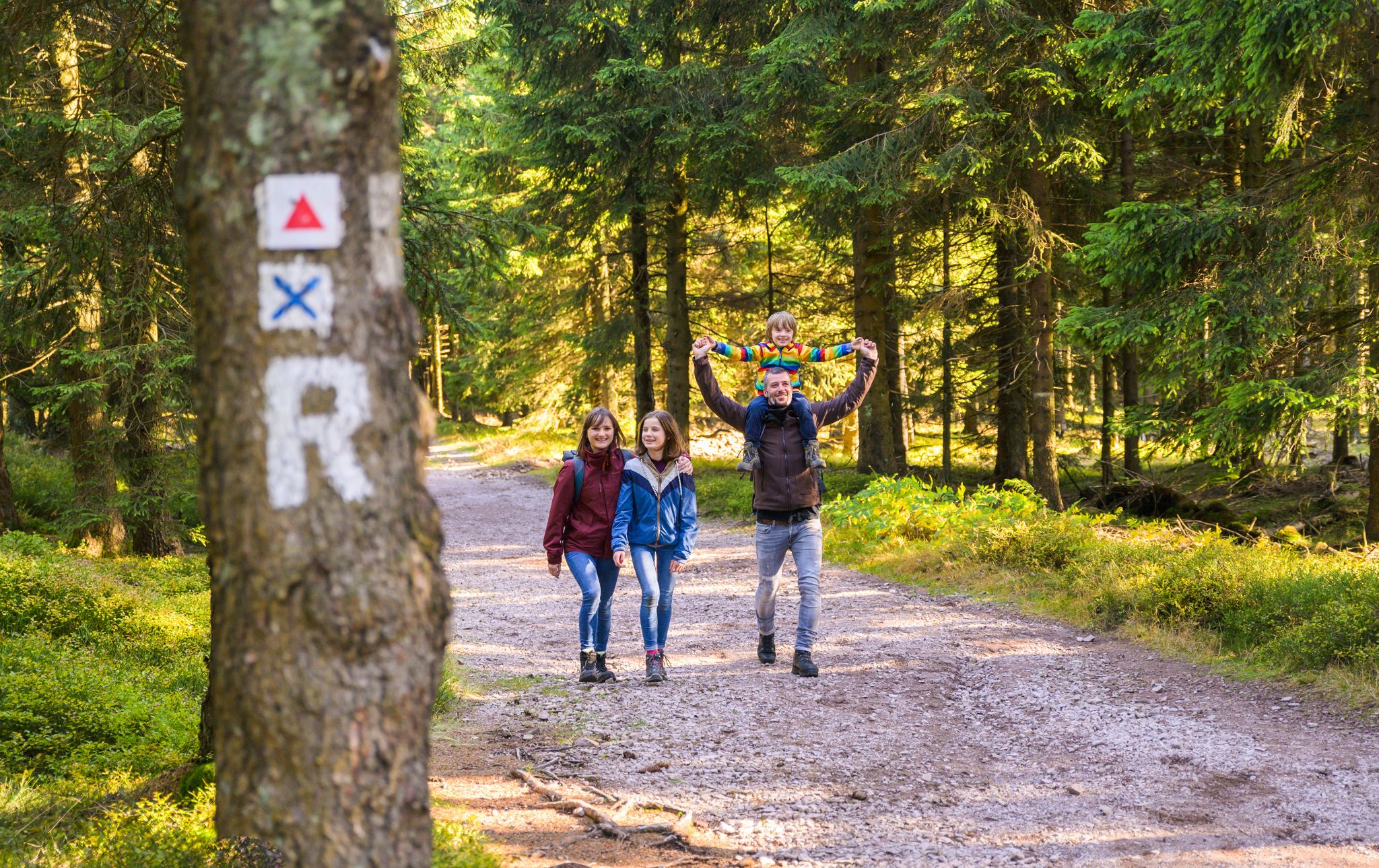
Play, nature and good fun – family hikes in the Thuringian Forest
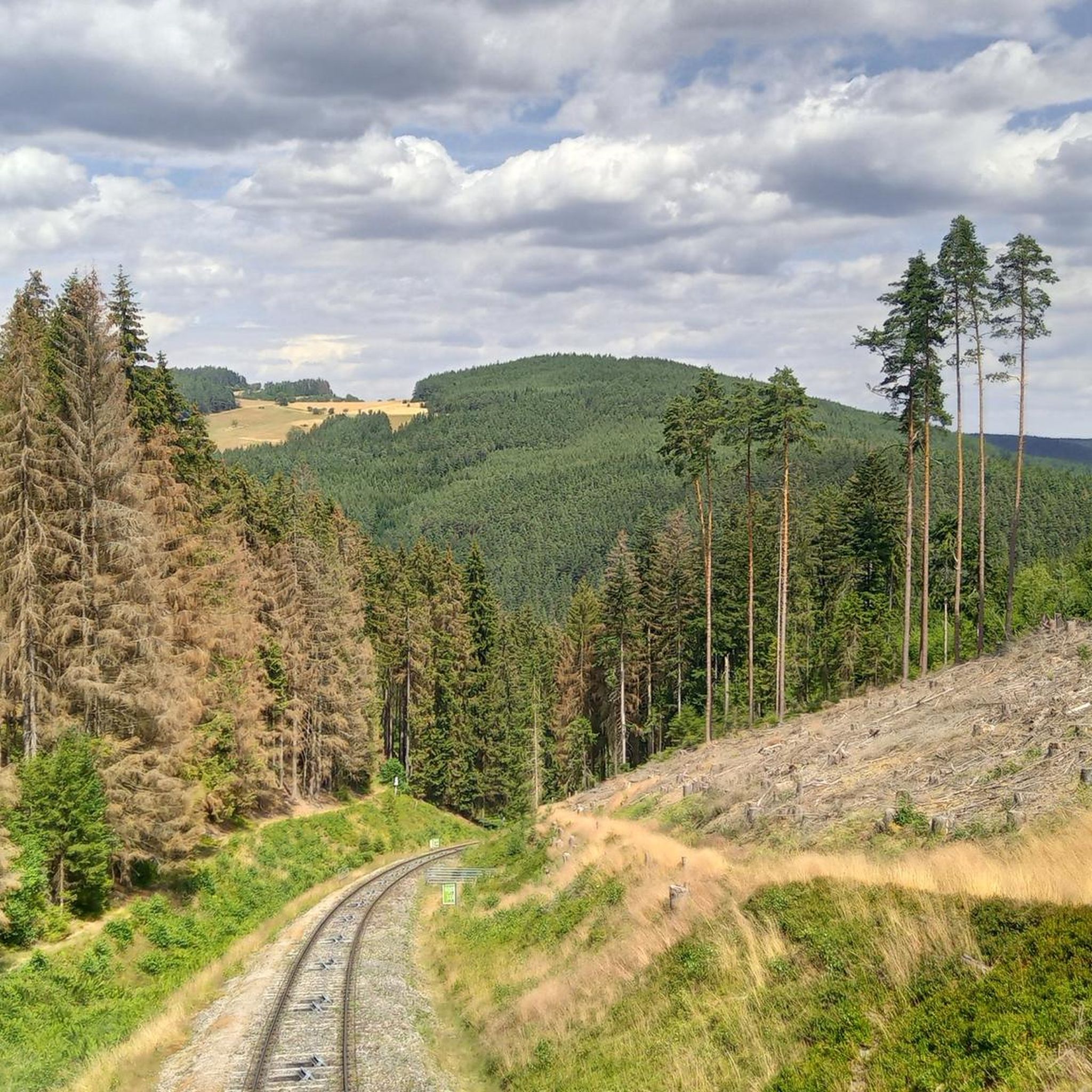
Hiking around Oberweißbach/Thüringer Wald
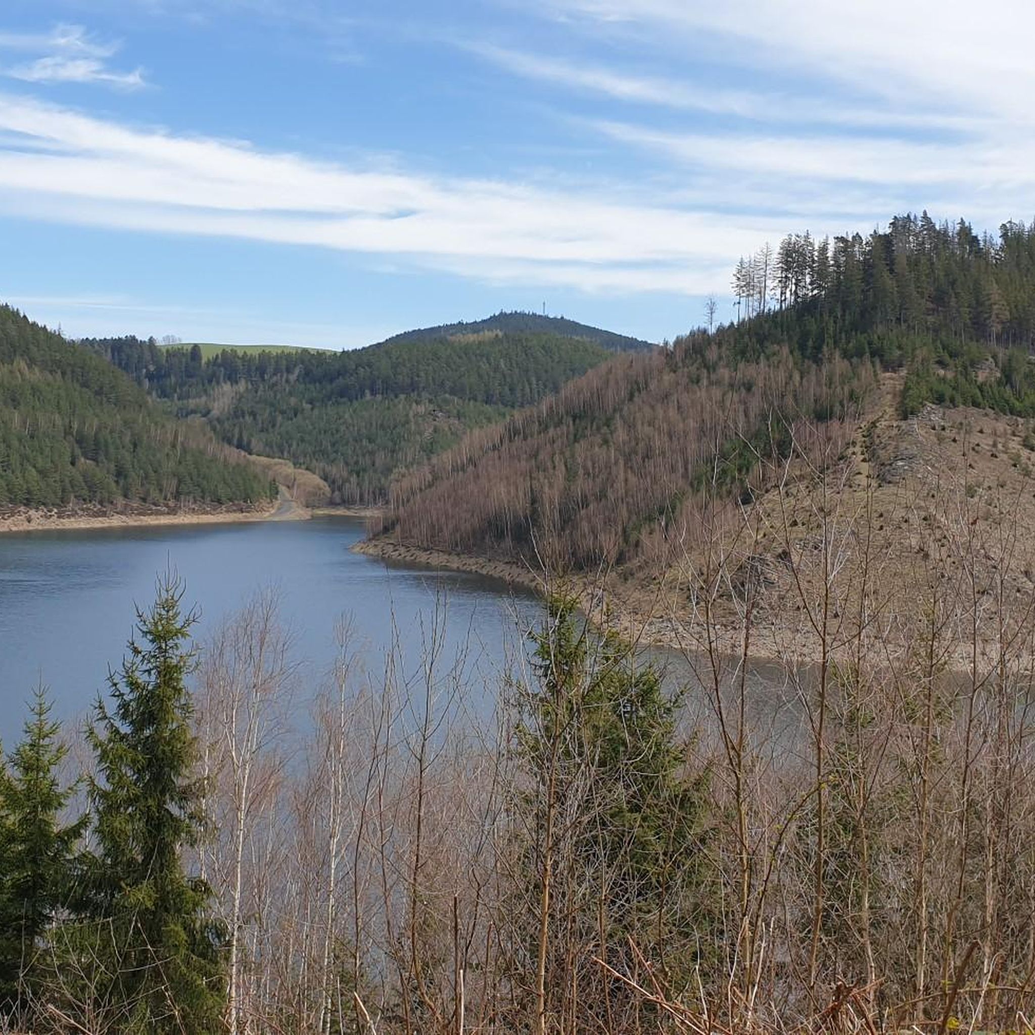
Cycling around Oberweißbach/Thüringer Wald
Road Cycling Routes around Oberweißbach/Thüringer Wald
MTB Trails around Oberweißbach/Thüringer Wald
Gravel biking around Oberweißbach/Thüringer Wald
Other adventures around Oberweißbach/Thüringer Wald

Tips from the Community

A dreamlike beautiful view 🥰
0
0

Very beautiful view of the reservoir, worth a stop.
0
0
Small, nicely laid out playground in the shade.
0
0
From up here you have a good view of Unterweißbach.
0
0
Wonderful view into the valley, it is worth a stop.
1
0

A very nice place to rest, and definitely worth a photo.
0
0

Small shelter with a great view.
0
0

Small shelter and a great view 🫶
0
0
Frequently Asked Questions
How many running routes are available in Oberweißbach/Thüringer Wald?
There are over 80 dedicated running routes in Oberweißbach/Thüringer Wald, offering a wide range of options for all fitness levels. These routes traverse the region's diverse low mountain range landscape, including forests, valleys, and scenic ridges.
Are there easy running routes suitable for beginners or a relaxed jog?
Yes, Oberweißbach/Thüringer Wald offers several easy running paths. For instance, the Viehberg – Hainberg loop from Meuselbach-Schwarzmühle is an easy 3.1-mile (5.0 km) trail that takes about 32 minutes to complete, leading through rolling hills and meadows. The region's well-signposted trails cater to various fitness levels, including those looking for a lighter jog.
What kind of terrain can I expect on the jogging trails in this region?
The jogging trails in Oberweißbach/Thüringer Wald feature a diverse low mountain range landscape. You'll encounter rolling hills, steep valleys, and easily accessible ridges. The region is characterized by extensive spruce and beech-fir forests, vibrant mountain meadows, and the picturesque Schwarzatal valley, offering varied and engaging terrain for trail running.
Are there any running routes with scenic viewpoints or attractions?
Absolutely! Many routes offer magnificent views. The Forellenteich – Panoramablick loop from Meuselbach-Schwarzmühle is a great option for scenic vistas. You can also find routes leading to the Fröbel Tower or the Meuselbacher Kuppe Observation Tower, both offering panoramic views over the Thuringian Forest and Schwarzatal.
Can I bring my dog on the running trails in Oberweißbach/Thüringer Wald?
Generally, dogs are welcome on the running trails in Oberweißbach/Thüringer Wald. The extensive forests and natural landscapes provide a great environment for you and your canine companion. However, always keep your dog on a leash, especially in nature reserves or near wildlife, and be mindful of other trail users.
Are there any circular running routes available?
Yes, many of the running routes in Oberweißbach/Thüringer Wald are designed as loops, allowing you to start and end at the same point. For example, the challenging Running loop from Unterweißbach is a 12.4-mile (19.9 km) circular trail through forests and valleys. Another option is the Talsperre Leibis-Lichte loop from Deesbach, which offers views of the reservoir.
What is the best time of year to go jogging in Oberweißbach/Thüringer Wald?
The Thuringian Forest is beautiful year-round. Spring and autumn offer pleasant temperatures and vibrant scenery with blooming flowers or colorful foliage, making them ideal for jogging. Summer provides lush green landscapes and refreshing forest air. Even winter can be enchanting for running, especially on cleared paths, though some trails might be challenging due to snow or ice.
Are there family-friendly running routes in the area?
While many trails are suitable for various ages, for a lighter, family-friendly option, consider paths like the Kindererlebnisweg ab Lichtenhain, which is an easy 5 km route. The region's extensive network of well-signposted trails includes options that are less strenuous and more suitable for families looking for a gentle jog or walk together.
Where can I park my car when accessing the running trails?
Parking is generally available at trailheads and popular starting points throughout Oberweißbach/Thüringer Wald. Many villages and attractions, such as the Fröbel Tower or the Meuselbacher Kuppe, offer designated parking areas. It's advisable to check specific route descriptions for parking recommendations near your chosen starting point.
What do other runners say about jogging in Oberweißbach/Thüringer Wald?
The running routes in Oberweißbach/Thüringer Wald are highly rated by the komoot community, with an average score of 4.3 stars from over 70 reviews. Runners often praise the diverse low mountain range topography, the refreshing atmosphere of the dense forests, and the scenic beauty of the Schwarzatal valley, highlighting the engaging and varied terrain.
Are there any permits required for jogging in the Thuringian Forest?
No, generally, no special permits are required for jogging on the public trails and paths in the Thuringian Forest around Oberweißbach. You are free to enjoy the natural beauty and extensive trail network. However, always respect local regulations, especially in designated nature protection areas.
Can I reach the running trails using public transport?
Yes, some running trails in Oberweißbach/Thüringer Wald are accessible via public transport. The region has bus connections that link various villages and trailheads. Planning your route in advance and checking local bus schedules will help you find suitable access points for your run.
Are there any longer distance running trails for more experienced runners?
For experienced runners seeking longer distances, the region offers challenging routes like the Running loop from Unterweißbach, which covers nearly 20 km with significant elevation changes. Additionally, the Rennsteig Ladder Oberweißbach connects to the famous Rennsteig, a historic long-distance trail, providing opportunities for extended runs with numerous viewpoints.
Most popular routes around Oberweißbach/Thüringer Wald
Most popular attractions around Oberweißbach/Thüringer Wald

Get inspired with the komoot mobile app


Explore more
Browse the best Running Trails & Routes in other regions.
