The best gravel rides around Oberweißbach/Thüringer Wald
3.8
(47)
140
riders
13
rides
Gravel biking around Oberweißbach/Thüringer Wald offers diverse terrain within the Thuringian Forest, a low mountain range characterized by forested hills, river valleys, and reservoirs. The region's landscape provides a varied topography with elevations ranging from gentle inclines along waterways to more challenging climbs through wooded areas. This area features a mix of established cycle paths and unpaved tracks suitable for gravel bikes. The extensive trail network includes parts of the Rennsteig, offering opportunities for multi-day rides.
Best gravel bike trails…
Last updated: July 2, 2026
4.5
(4)
21
riders
24.8km
01:38
390m
390m
Moderate gravel ride. Good fitness required. Mostly paved surfaces. Suitable for all skill levels.
4.4
(16)
43
riders
34.6km
01:56
300m
300m
Moderate gravel ride. Good fitness required. Mostly paved surfaces. Suitable for all skill levels.

Sign up for free
4.5
(2)
11
riders
Hard gravel ride. Very good fitness required. Mostly paved surfaces. Suitable for all skill levels.
4.3
(6)
30
riders
Hard gravel ride. Very good fitness required. Mostly paved surfaces. Suitable for all skill levels.
4.4
(8)
9
riders
41.6km
02:20
340m
340m
Moderate gravel ride. Good fitness required. Mostly paved surfaces. Suitable for all skill levels.
Get access to more routes and recommendations from other explorers.
Sign up for free
Already have an account?
Our route recommendations are based on thousands of hikes, rides, and runs completed by other people on komoot.
Start today with a free account
Your next adventure awaits.
Login or Signup
Popular around Oberweißbach/Thüringer Wald

Forest, vastness and water – day trips in the Thuringian Forest
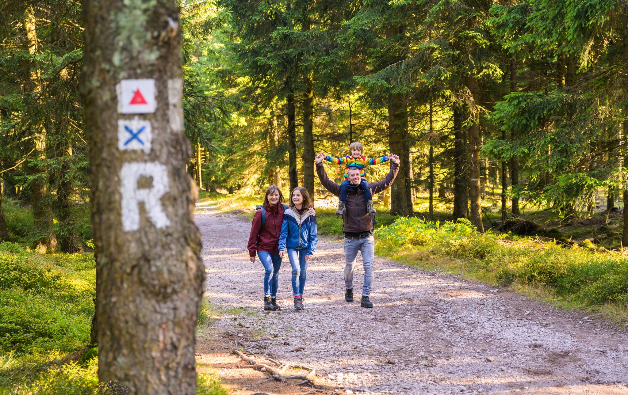
Play, nature and good fun – family hikes in the Thuringian Forest
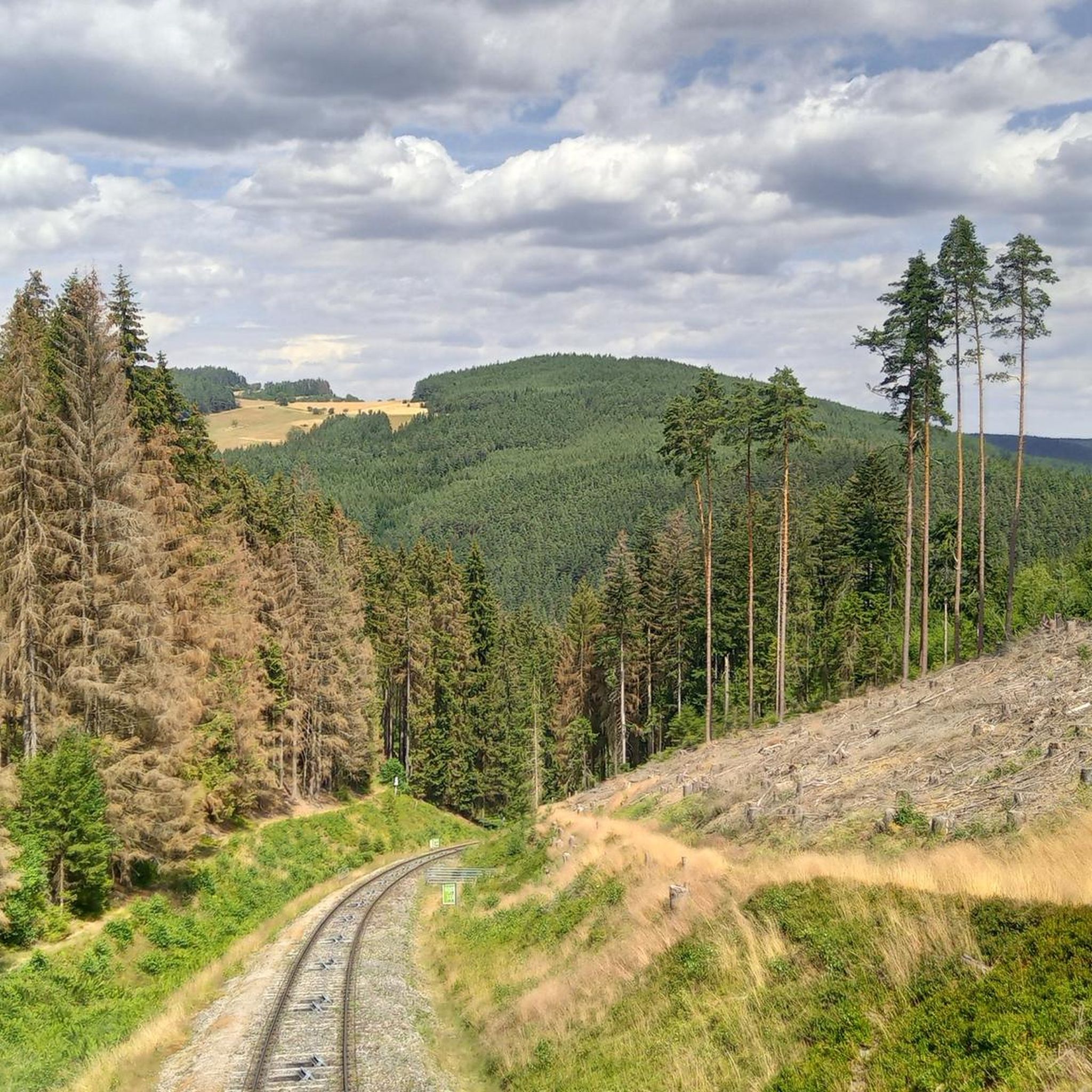
Hiking around Oberweißbach/Thüringer Wald
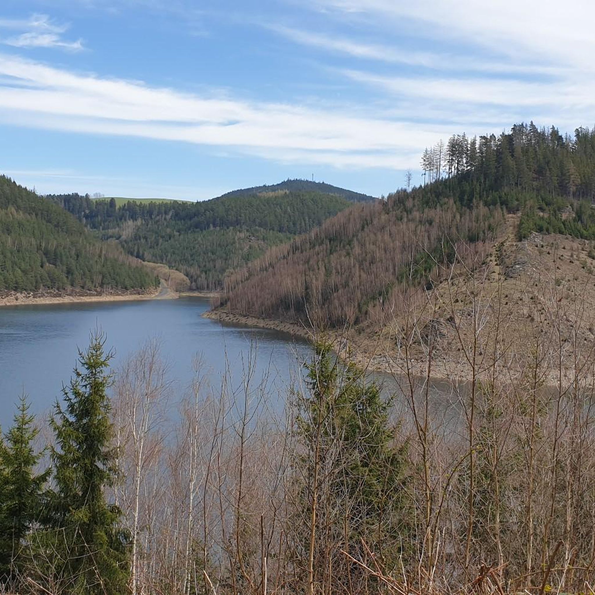
Cycling around Oberweißbach/Thüringer Wald
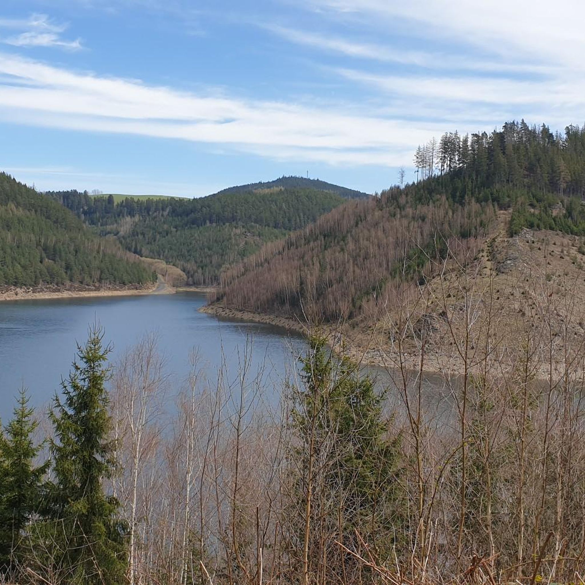
Road Cycling Routes around Oberweißbach/Thüringer Wald
MTB Trails around Oberweißbach/Thüringer Wald
Running Trails around Oberweißbach/Thüringer Wald
Other adventures around Oberweißbach/Thüringer Wald

Tips from the Community

Very beautiful view of the reservoir, worth a stop.
0
0

Relaxing for young and old and a joy for children
0
0

A beautiful, easily passable cycle path with some rest stops. 👍
0
0

The Greifenstein is always beautiful to look at.
0
0
The Rinnetal cycle path comes highly recommended; it's quiet and free from traffic. 😄
1
0
Just before Ilmenau, on the section of the Ilm Cycle Path along the former Langewiesen railway line, this rest area with a covered picnic hut invites you to take a relaxing break. Benches and a table are available here – ideal for a quick snack in the shade before heading into town. A perfect stopover for cyclists and hikers looking to enjoy the last few meters to Ilmenau.
0
0

Schwarzburg Castle offers an exciting blend of history, impressive architecture, and beautiful nature. Don't miss the Imperial Hall with its imperial portraits, the Princely Armory with its unique collection of weapons, and the magnificent view of the Schwarza Valley.
1
0

On a clear blue day with sunshine, this view is absolutely breathtaking :) We highly recommend everyone stop by ☀️
0
0
Frequently Asked Questions
What types of gravel bike trails can I find around Oberweißbach/Thüringer Wald?
The region offers a diverse mix of terrain, from established cycle paths to unpaved tracks. You'll find routes ranging from moderate to difficult, characterized by forested hills, river valleys, and reservoirs. There are 10 moderate and 8 difficult routes available for gravel biking.
Are there any family-friendly gravel biking options in Oberweißbach/Thüringer Wald?
While the guide primarily features moderate to difficult routes, many trails along river valleys, such as sections of the Schwarza River, offer gentler inclines that can be suitable for families with older children or those comfortable with some elevation. Always check the route details for specific difficulty and terrain before heading out.
What are some scenic viewpoints or landmarks to look out for on gravel bike rides?
You can incorporate several scenic viewpoints and historic sites into your rides. Consider visiting the Meuselbacher Kuppe Observation Tower or the Fröbel Observation Tower for panoramic views. The historic Schwarzburg Castle is also a notable landmark, and you can find routes that pass by it, such as the Schwarzburg Castle – Cycle path along the Schwarza River loop from Schwarzburg.
Are there any gravel bike routes that feature waterfalls?
Yes, the Schwarza Waterfall (Schwarza Valley) is a beautiful natural attraction in the area. While not directly on a featured route, you can plan your ride to include a visit to this picturesque spot, often accessible from trails following the Schwarza River.
What is the best time of year for gravel biking in Oberweißbach/Thüringer Wald?
The Thuringian Forest region is generally enjoyable for gravel biking from spring through autumn. Spring brings lush greenery, while autumn offers vibrant foliage. Summers are pleasant, though some trails might be busier. Winter conditions can vary, with snow and ice making some unpaved sections challenging, so check local weather and trail conditions if planning a winter ride.
Are there any loop gravel bike trails available?
Many of the gravel bike routes in Oberweißbach/Thüringer Wald are designed as loops, allowing you to start and end at the same point. Examples include the Pennewitz Airfield – View of Gräfinau-Angstedt loop from Königsee and the Höllteich – Ilmtal Cycle Path Near Ilmenau loop from Paulinzella.
What is the typical length and duration of gravel bike routes in this area?
The routes vary significantly in length and duration. For instance, the Schwarzburg Castle – Cycle path along the Schwarza River loop from Schwarzburg is a moderate 24.8 km (15.4 miles) route, while the more challenging Schwarzburg Castle – Cycle path along the Schwarza River loop from Oberweißbach-Deesbach covers 50.2 km (31.2 miles) and can take over 4 hours.
What do other gravel bikers say about the trails in Oberweißbach/Thüringer Wald?
The area is highly rated by the komoot community, with an average score of 4.5 stars from over 50 reviews. Riders often praise the varied terrain, the quiet forested sections, and the opportunities to explore both natural scenery and historic sites.
Are there any particularly challenging gravel bike routes for experienced riders?
Yes, for experienced riders seeking a challenge, routes like the Höllteich – Ilmtal Cycle Path Near Ilmenau loop from Paulinzella, which is 60.5 km (37.6 miles) with significant elevation gain, or the Owl Bench — View of the Leibis Reservoir – View of Leibis-Lichte Dam loop from Unterweißbach, offer demanding climbs and rewarding descents through forested areas.
Where can I find parking for gravel biking in Oberweißbach/Thüringer Wald?
Starting points for many routes are often located near towns or villages, where public parking is typically available. For specific routes, check the tour details on komoot, as they often include information about suitable parking areas near the trailhead. For example, routes starting from Königsee, Schwarzburg, or Paulinzella will have parking options in those vicinities.
Can I access these gravel bike trails using public transport?
The Thuringian Forest region has some public transport connections, including regional trains and buses, which can help you reach various starting points. For example, the Lichtenhain mountain station of the Thuringian mountain railroad is a notable transport hub that could serve as an access point for nearby trails. It's advisable to check local public transport schedules and bike carriage policies in advance.
Are there any hidden gem gravel bike routes in the area?
While the guide highlights popular routes, the extensive network of forest roads and unpaved tracks means there are many less-traveled paths to discover. Exploring areas around smaller villages or using komoot's route planner to connect different highlights, such as the Barigauer Turm Observation Tower or the Wurzelberg Shelter, can lead you to unique and quieter gravel biking experiences.
Most popular routes around Oberweißbach/Thüringer Wald
Most popular attractions around Oberweißbach/Thüringer Wald

Get inspired with the komoot mobile app


Explore more
Browse the best Gravel rides in other regions.
