The best road cycling routes around Oberweißbach/Thüringer Wald
4.5
(82)
1,098
riders
94
rides
Road cycling around Oberweißbach/Thüringer Wald offers diverse landscapes within the scenic Thuringian Forest. The region features a charming low mountain landscape with forests, valleys, and significant elevation changes. Cyclists can expect varied terrain, including well-paved surfaces and considerable uphill and downhill sections. Routes often incorporate natural features such as dams and reservoirs, providing a dynamic cycling experience.
Best road cycling routes around Oberweißbach/Thüringer Wald
- The most popular road cycling route is Kehltal Valley – Ilmenau–Langewiesen Cycle Path loop from Meuselbach-Schwarzmühle…
Last updated: September 29, 2026
5.0
(2)
57
riders
86.8km
04:18
1,340m
1,340m
Hard road ride. Very good fitness required. Some segments of this route may be unpaved and difficult to ride.
4.0
(1)
28
riders
104km
04:52
1,330m
1,330m
Hard road ride. Very good fitness required. Some segments of this route may be unpaved and difficult to ride.

12
riders
159km
07:48
2,400m
2,400m
Hard road ride. Very good fitness required. Mostly well-paved surfaces and easy to ride.
9
riders
47.7km
02:20
740m
740m
Moderate road ride. Good fitness required. Some segments of this route may be unpaved and difficult to ride.
6
riders
142km
06:59
2,150m
2,150m
Hard road ride. Very good fitness required. Mostly well-paved surfaces and easy to ride.
Get access to more routes and recommendations from other explorers.
Already have an account?
Our route recommendations are based on thousands of hikes, rides, and runs completed by other people on komoot.
Start today with a free account
Your next adventure awaits.
Popular around Oberweißbach/Thüringer Wald

Forest, vastness and water – day trips in the Thuringian Forest
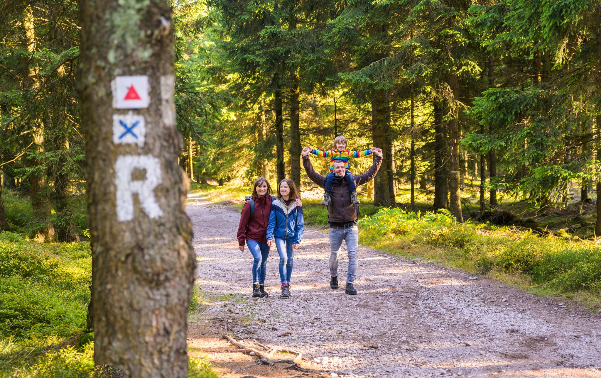
Play, nature and good fun – family hikes in the Thuringian Forest
Hiking around Oberweißbach/Thüringer Wald
Cycling around Oberweißbach/Thüringer Wald
Running Trails around Oberweißbach/Thüringer Wald
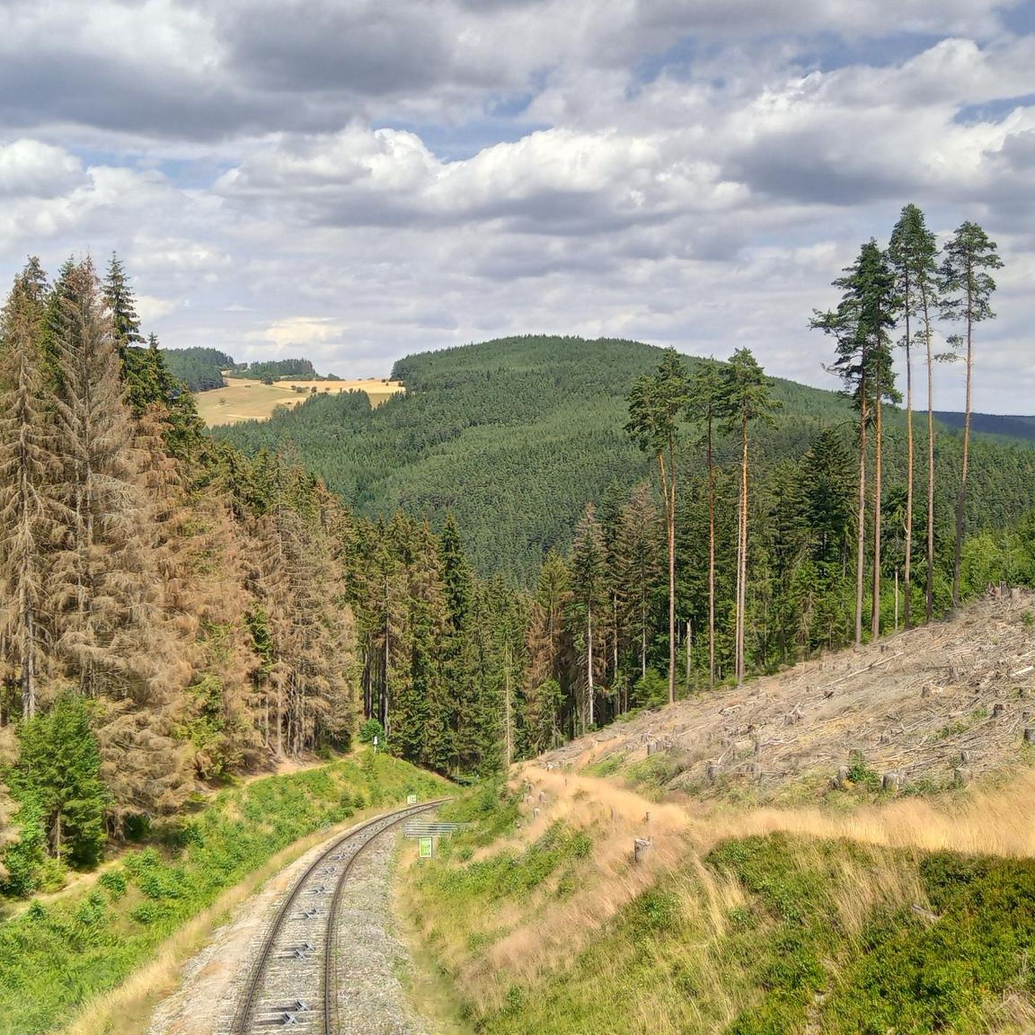
MTB Trails around Oberweißbach/Thüringer Wald
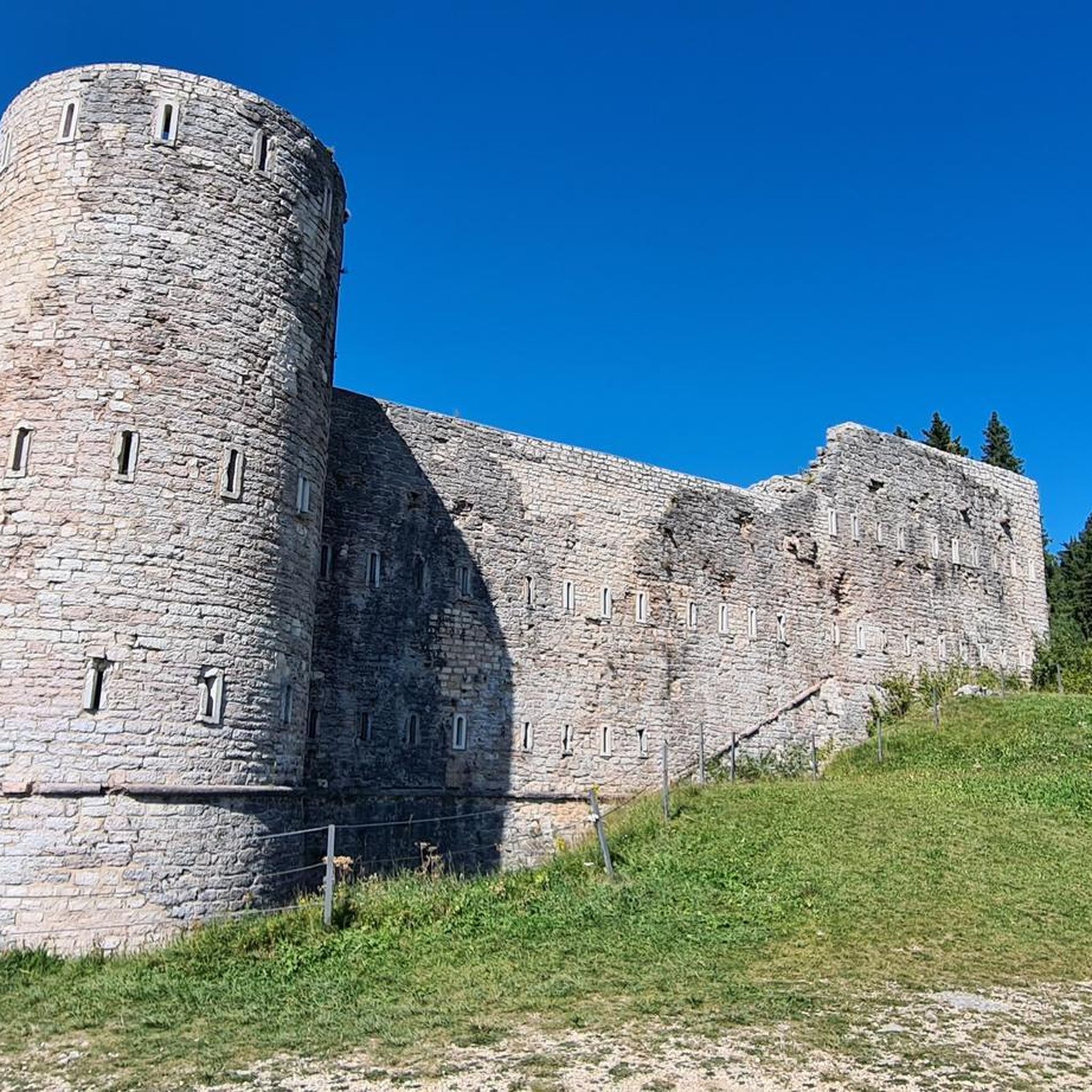
Gravel biking around Oberweißbach/Thüringer Wald
Other adventures around Oberweißbach/Thüringer Wald

Tips from the Community

Beautiful resting place on the Rennsteig.
0
0

View from Liebenstein Castle...
0
0

Comfortable pass ride with moderate gradients.
0
0
Comfortable pass ride, the gradient is kept well within limits.
0
0


Rarely seen so many birds of prey at once
2
0

A wonderful valley leading up to the Rennsteig trail. Very pleasant for cycling.
0
0

Here you drive spectacularly under the ICE bridge.
0
0
Frequently Asked Questions
What kind of terrain can I expect on road cycling routes in Oberweißbach/Thüringer Wald?
The region features a charming low mountain landscape with dense forests, picturesque valleys like the Kehltal, and significant elevation changes. You'll encounter varied terrain, including mostly well-paved surfaces, but some segments may be unpaved and more challenging. Routes often include considerable uphill and downhill sections, with some hard rides featuring over 1,300 meters of elevation gain.
What is the overall difficulty level for road cycling in Oberweißbach/Thüringer Wald?
Road cycling in Oberweißbach/Thüringer Wald is generally suited for cyclists with moderate to very good fitness. Out of nearly 100 routes, 48 are classified as moderate and 50 as difficult, indicating that most tours involve significant climbs and distances.
Are there any notable viewpoints or landmarks along the road cycling routes?
Yes, the region offers several rewarding stops. You can find magnificent panoramic views from the Meuselbacher Kuppe Observation Tower or the Fröbel Observation Tower. Routes also frequently incorporate scenic water bodies such as the Eichicht Dam and the Hohenwarte Dam, and the Leibis-Lichte Dam.
Can I find circular road cycling routes in Oberweißbach/Thüringer Wald?
Many of the road cycling routes in the area are designed as loops. For example, the challenging Kehltal Valley loop from Mellenbach-Glasbach covers over 105 km, winding through valleys and offering panoramic views. Another option is the Kehltal Valley – Ilmenau–Langewiesen Cycle Path loop from Meuselbach-Schwarzmühle, a difficult 87 km trail.
What is the best time of year for road cycling in Oberweißbach/Thüringer Wald?
The Thuringian Forest region is generally best enjoyed for road cycling during the warmer months, typically from late spring through early autumn. During this period, the weather is more stable, and the forest roads are clear, providing ideal conditions for exploring the diverse landscapes and elevation changes.
Are there options for combining road cycling with public transport?
Yes, the region is cycling-friendly with options for bike transport. The Oberweißbach Mountain Railway, a unique funicular, can transport bikes, helping overcome significant altitude differences. Additionally, there are bus and train services in the broader Thuringia region that offer bike transport, connecting to various cycling networks like portions of the Saale Cycle Route and the Ilm Valley Cycle Route.
What do other road cyclists enjoy most about road cycling in Oberweißbach/Thüringer Wald?
The area is highly rated by the komoot community, with an average score of 4.7 stars from over 50 reviews. Cyclists often praise the diverse landscapes, the challenging elevation changes, and the immersive experience of riding through the dense forests and past scenic dams.
Are there any particularly challenging road cycling routes for experienced riders?
Yes, the region offers several demanding routes. The Mommelstein Cycle Path – View of the ski jump loop from Mellenbach-Glasbach is a significant 158.5 km trail with over 2,300 meters of elevation gain. Another challenging option is the Eichicht Dam and Power Station – Hohenwarte Dam loop from Oberweißbach-Deesbach, spanning 141.5 km with over 2,100 meters of elevation.
What kind of natural features can I expect to see along the routes?
Road cycling routes frequently wind through the dense forests of the Thuringian Forest, offering a refreshing natural environment. You'll also traverse various valleys, such as the Kehltal Valley, and encounter impressive bodies of water, including the Eichicht Dam, Hohenwarte Dam, and Leibis-Lichte Dam.
Are there any cultural attractions near the road cycling routes?
Oberweißbach is the birthplace of Friedrich Fröbel, the founder of kindergartens. You can visit the Friedrich Fröbel Memorial Museum and the Hoffnungskirche Oberweißbach for cultural insights. These sites offer a unique opportunity to combine physical activity with local history.
Are there any easier road cycling routes for beginners or those seeking a more relaxed ride?
While many routes in the region are moderate to difficult, there are options with less extreme elevation. For instance, the Hohe Tanne – Gillersdorf Road – Hohe Tanne loop from Mellenbach-Glasbach is a moderate 47.7 km route with around 740 meters of elevation gain, offering a less strenuous experience compared to the longer, more challenging tours.
Most popular routes around Oberweißbach/Thüringer Wald
Most popular attractions around Oberweißbach/Thüringer Wald

Get inspired with the komoot mobile app


Explore more
Browse the best Road cycling routes in other regions.
