The best running trails in Nationalpark-Kernzone
4.6
(518)
6,933
runners
513
runs
Jogging routes in Nationalpark-Kernzone traverse diverse landscapes, from the alpine grandeur of Hohe Tauern with its mountain peaks and glacier lakes, to the sandstone cliffs and dense forests of Saxon Switzerland. The region is characterized by varied terrain, including high alpine pastures, deep gorges, and river valleys. These core zones offer well-developed trail systems suitable for running, providing a range of elevation changes and natural features.
Best jogging routes in Nationalpark-Kernzone
- The most popular jogging route is Schwedenlöcher – Ascent…
Last updated: July 1, 2026
4.5
(2)
52
runners
Hard run. Very good fitness required. Mostly paved surfaces. Suitable for all skill levels.
4.5
(2)
25
runners
15.8km
02:03
440m
440m
Hard run. Very good fitness required. Sure-footedness, sturdy shoes and alpine experience required.

Sign up for free
4.8
(5)
23
runners
12.3km
01:36
290m
290m
Hard run. Good fitness required. Sure-footedness, sturdy shoes and alpine experience required.
3.0
(1)
19
runners
15.7km
02:04
400m
400m
Hard run. Very good fitness required. Mostly paved surfaces. Suitable for all skill levels.
5.0
(1)
21
runners
Moderate run. Good fitness required. Mostly paved surfaces. Suitable for all skill levels.
Get access to more routes and recommendations from other explorers.
Sign up for free
Already have an account?
Our route recommendations are based on thousands of hikes, rides, and runs completed by other people on komoot.
Start today with a free account
Your next adventure awaits.
Login or Signup
Popular around Nationalpark-Kernzone

#GoFurther – discover the views of Germany!
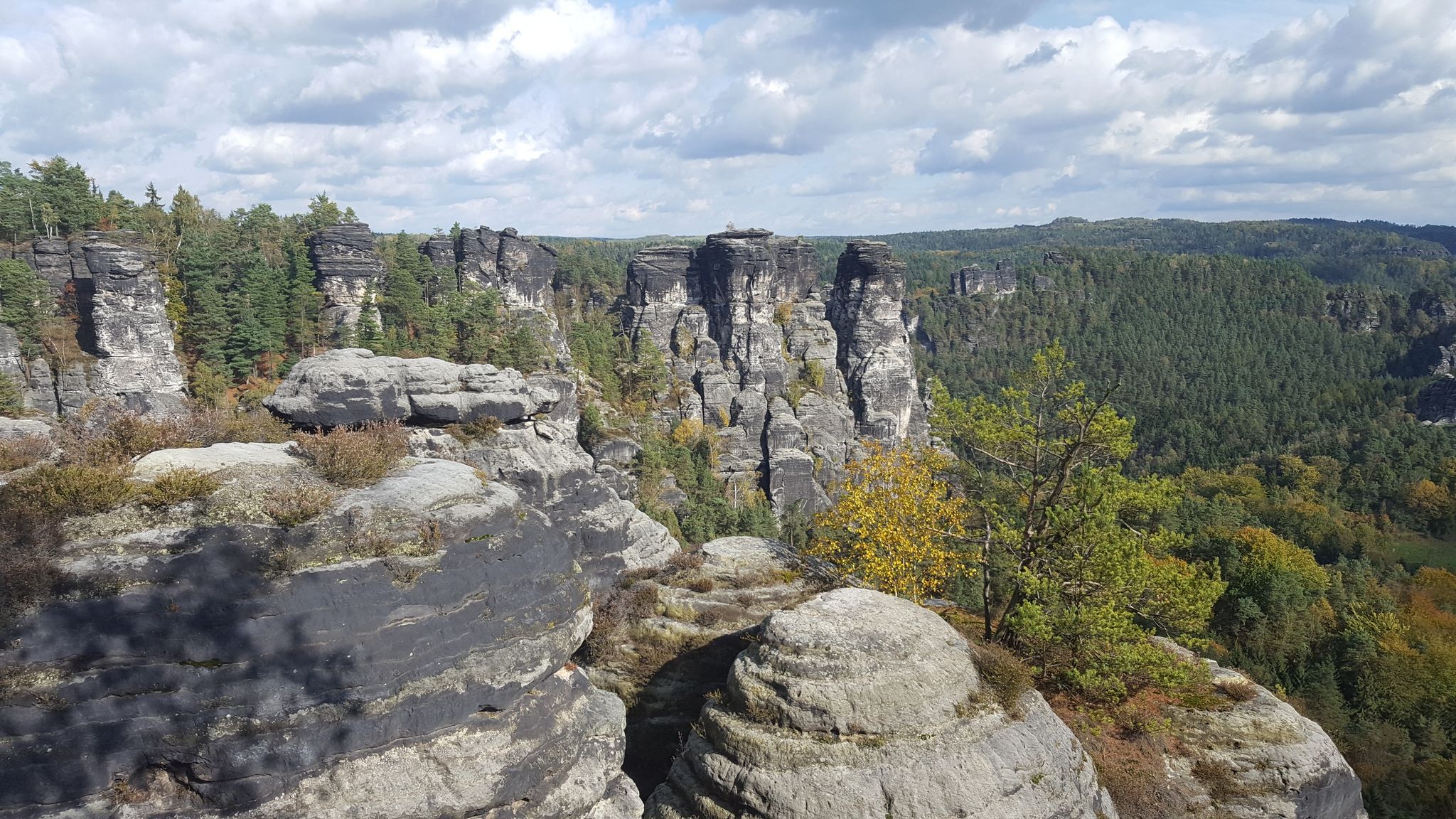
Saxon Switzerland - Adventures for Everyone
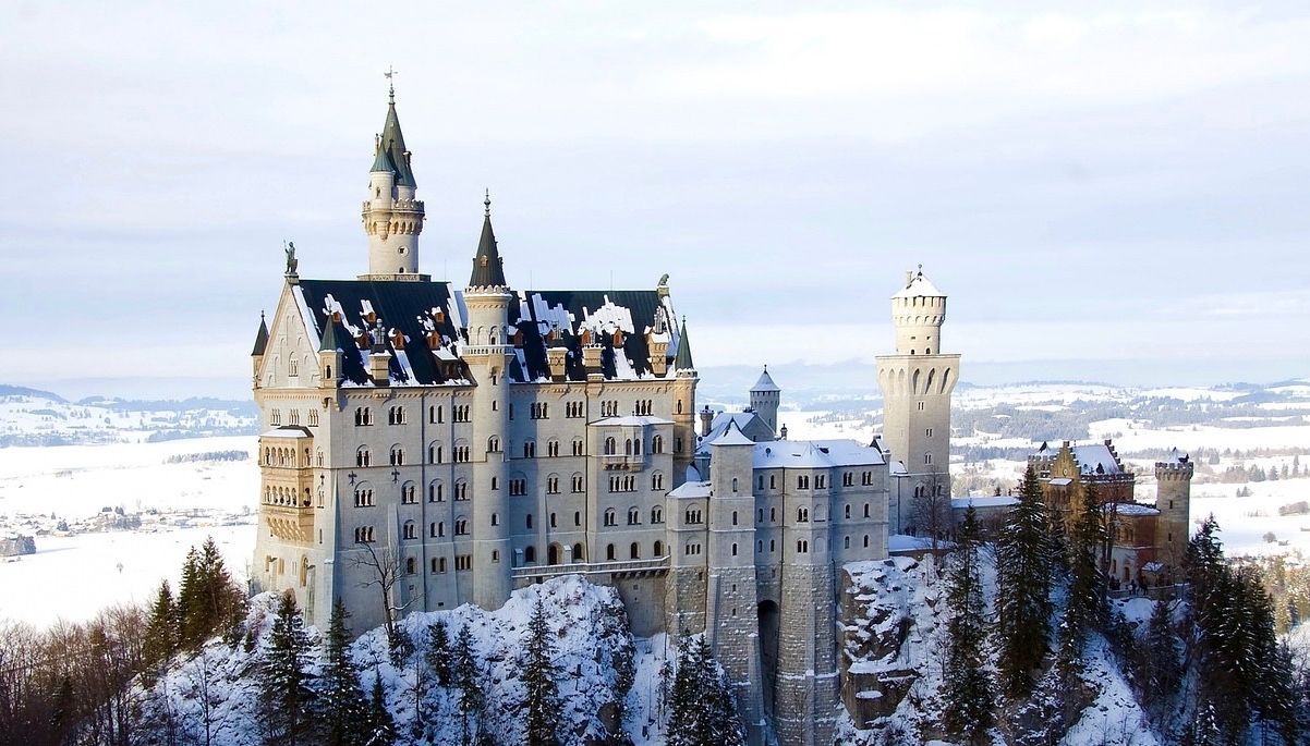
Like a fairytale – Germany during Advent
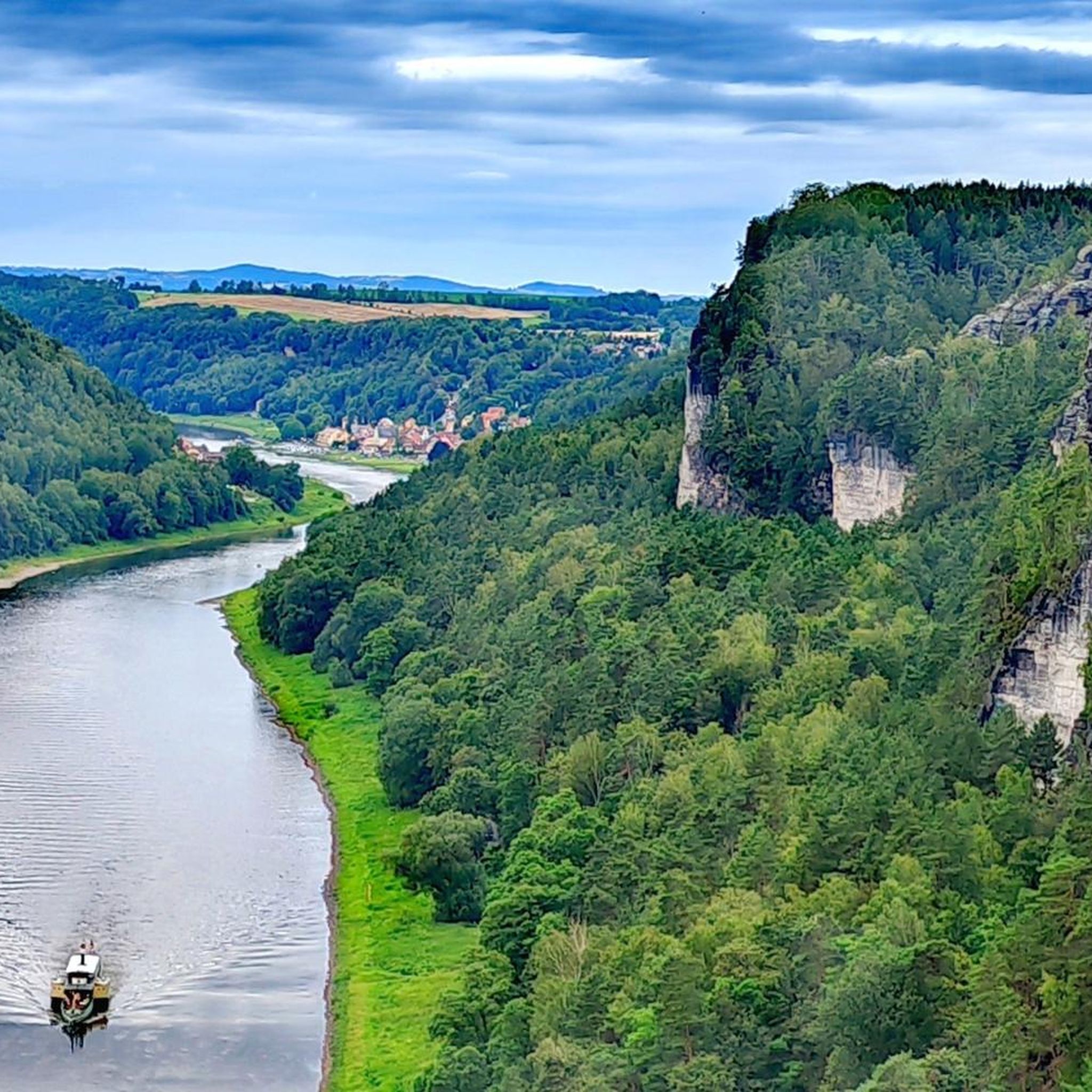
Hiking in Nationalpark-Kernzone
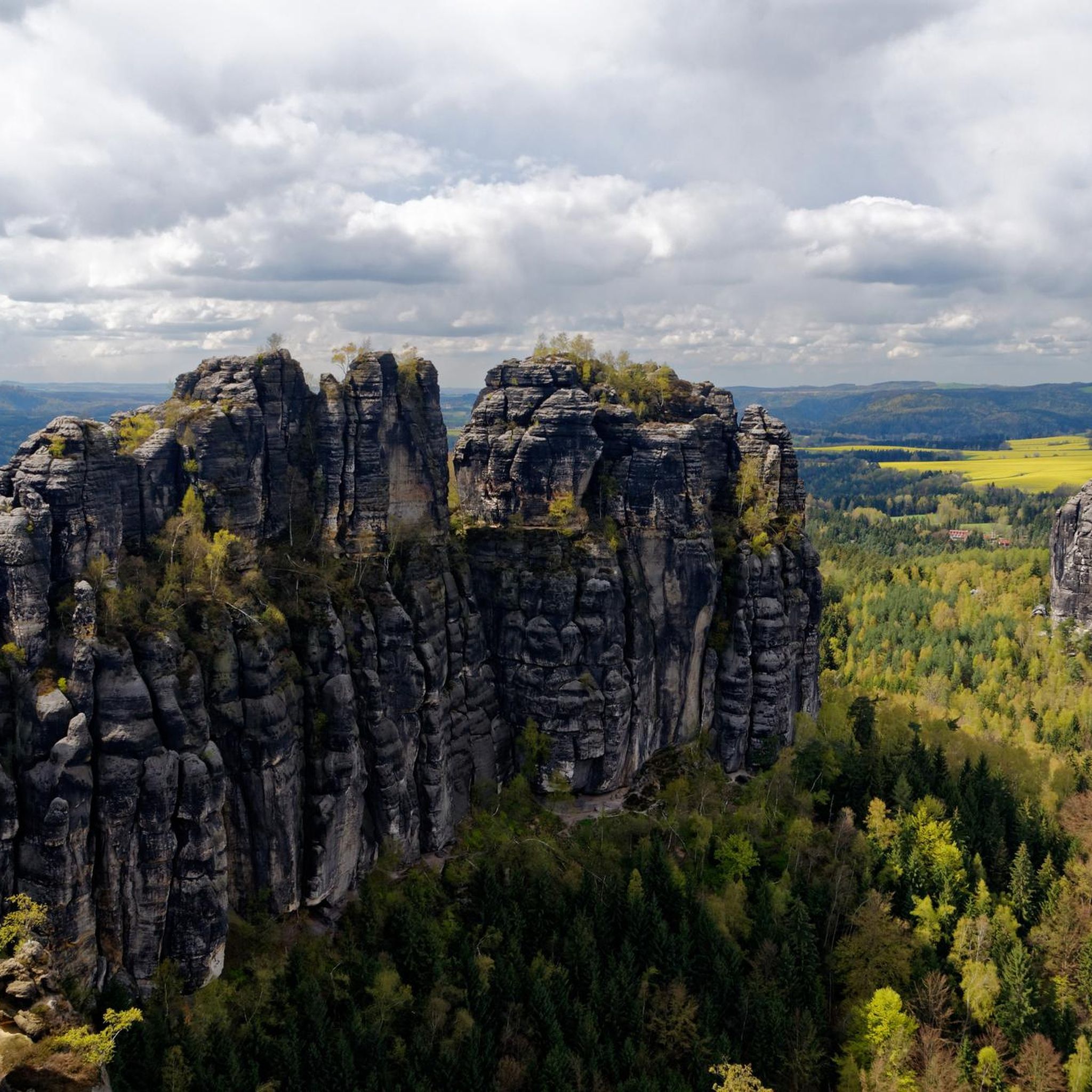
Gravel biking in Nationalpark-Kernzone
Cycling in Nationalpark-Kernzone
MTB Trails in Nationalpark-Kernzone
Road Cycling Routes in Nationalpark-Kernzone
Mountain Hikes in Nationalpark-Kernzone


Tips from the Community

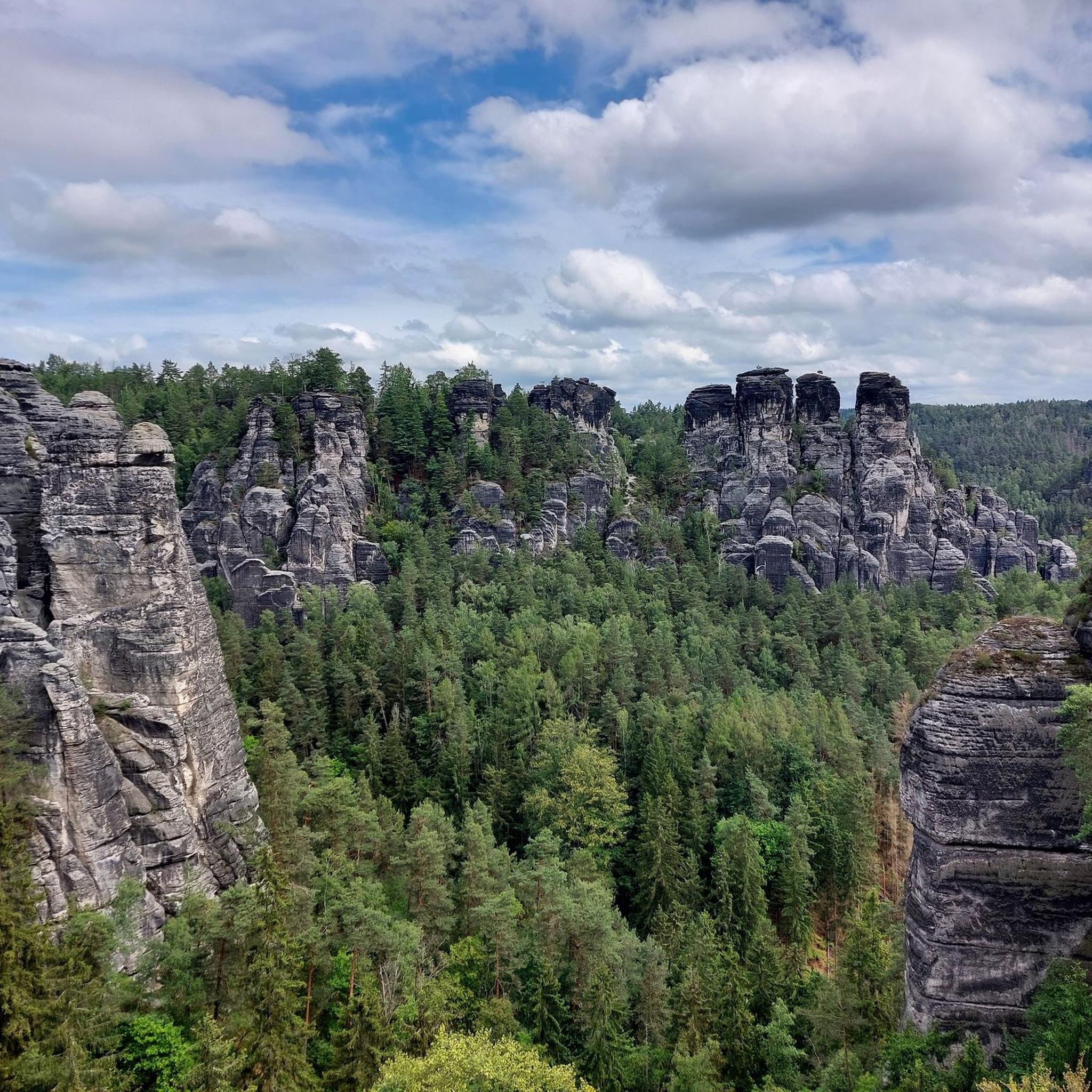
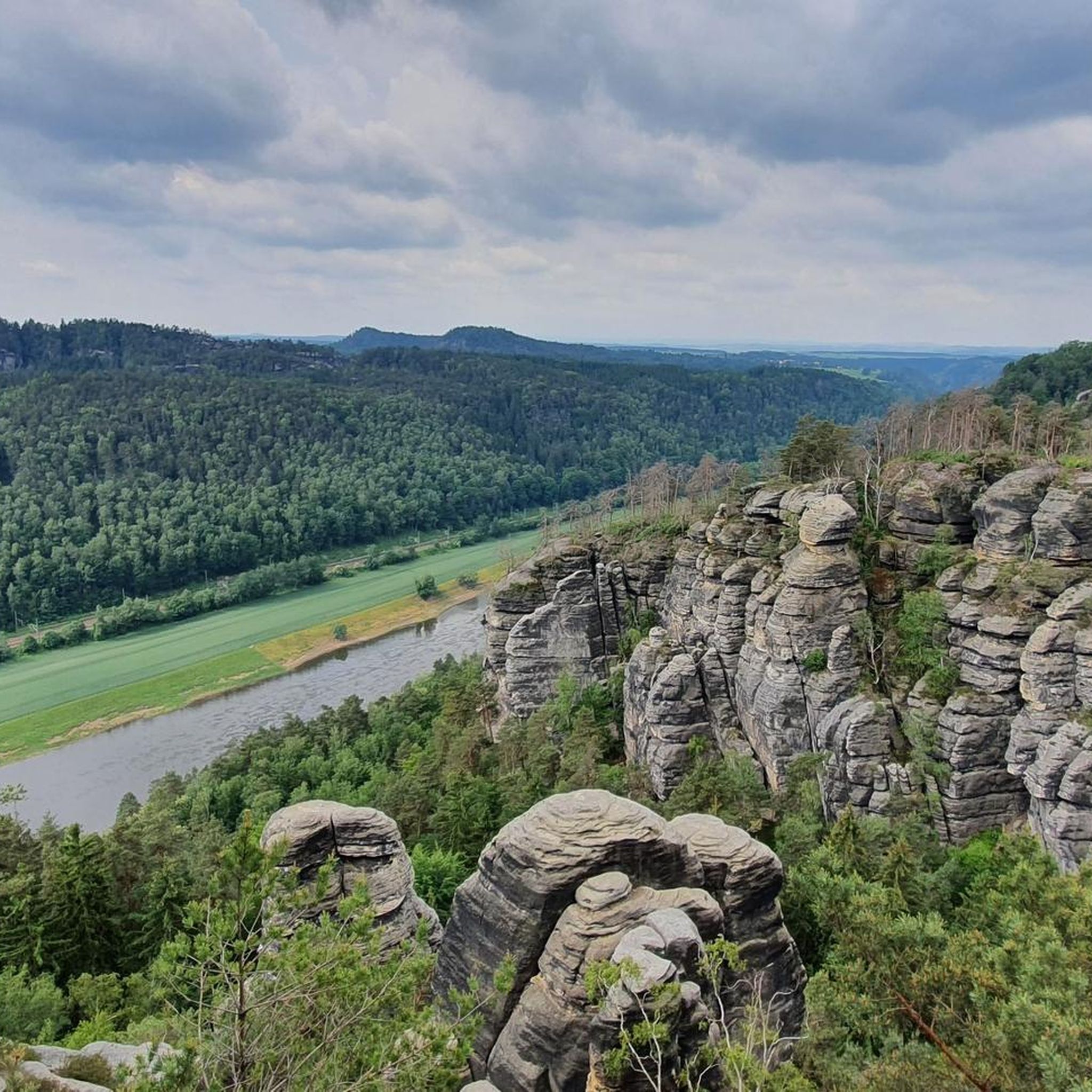
The ascent to the Bastei leads through the impressive rock landscape of Saxon Switzerland. Depending on the route, it goes uphill steadily via stairs, narrow paths, and through shady forests. Along the way, views of the Elbe River and the surrounding sandstone rocks repeatedly open up. Once at the top, the famous panorama from the Bastei rocks and the Bastei Bridge awaits – one of the most well-known viewpoints in the region.
3
1
The Bastei Restaurant is a well-known panoramic restaurant in Saxon Switzerland. It is spectacularly located on a rock plateau about 190 meters above the Elbe river and offers an impressive view of the Elbe valley and the surrounding rocks.
4
0

Time from the bottom to all the way up into the forest approx. 1 hour
0
0

The Brand is a rocky plateau in Saxon Switzerland, located 3.1 km south of Hohnstein, at an altitude of 317.4 m above sea level and 177 m above the Polenz River, which flows directly below. The Brand viewpoint is one of the most famous in Saxon Switzerland. The classic access to the Brand is from Hohnstein via the so-called Brandstraße, a roughly 2.5 kilometer long paved road. From the Tiefen Grund (Waitzdorfer Bach) to the east, approximately 850 steps, known as the Brandstufen, lead up to the Brand. The loosely spaced wooden and steel staircases climb about 150 m in altitude. Another access point leads from the Polenztal to the west, from the Waltersdorfer Mill, across the Schulzengrund to the Brandstraße. The path via the Brandstraße and the Brandstufen is part of the Malerweg, the main hiking trail in Saxon Switzerland. See: https://de.wikipedia.org/wiki/Brand_(S%C3%A4chsische_Schweiz)
2
0

Ascent from Rathen via many stairs and steps
0
1
The Saxon Mountain Rescue Service is responsible for rescue operations in Saxon Switzerland, including the Bastei and the spa town of Rathen, and provides assistance in the event of accidents involving hikers and climbers. On weekends and public holidays from Easter to the end of October, emergency teams are on site at the mountain rescue hut in Rathen and other locations. The mountain rescue service is a volunteer organization that provides support in emergencies in difficult terrain. See: https://bergwacht-sachsen.de/
1
0

Hohnstein Castle is located in the immediate vicinity of the Saxon Switzerland National Park and not far from the Bastei on a rocky promontory above the romantic Polenztal valley and the town of Hohnstein. The medieval castle complex was first mentioned in a document from 1353, was the seat of the nobility, an office, a state prison and a hunting lodge - and in the 1920s it was the largest and most beautiful youth hostel in Germany. Hohnstein Castle is a picturesque monument thanks to its location alone. The immediate surroundings of the rocks and the deeply cut valleys attracted painters in the 18th and 19th centuries. Caspar David Friedrich was no exception! He was repeatedly inspired by the Elbe Sandstones during his wanderings.
1
1

Frequently Asked Questions
How many running routes are available in Nationalpark-Kernzone?
Nationalpark-Kernzone offers a vast network of over 500 running routes. These routes traverse diverse landscapes, from the alpine grandeur of Hohe Tauern to the sandstone cliffs of Saxon Switzerland, catering to various fitness levels and preferences.
Are there easy jogging routes suitable for beginners in Nationalpark-Kernzone?
Yes, Nationalpark-Kernzone features over 40 easy running routes, perfect for beginners or those seeking a more relaxed pace. These trails often wind through forests or along river valleys, providing a gentle introduction to the region's natural beauty.
What kind of natural features can I expect to see on jogging routes in Nationalpark-Kernzone?
Jogging routes in Nationalpark-Kernzone showcase a stunning variety of natural features. In the Hohe Tauern area, you'll encounter majestic mountain peaks, glacier lakes like Langtalsee and Oberer Schwarzhornsee, and impressive waterfalls. Saxon Switzerland offers towering sandstone cliffs, dense forests, and serene lakes such as Amselsee, providing a unique and inspiring backdrop for your run.
Are there any circular running routes in Nationalpark-Kernzone?
Yes, many of the running routes in Nationalpark-Kernzone are circular, allowing you to start and finish at the same point. For example, the popular Schwedenlöcher – Ascent through the Amselgrund Gorge loop from Kurort Rathen is a moderate 4.8-mile (7.7 km) trail that offers a scenic ascent and returns to your starting point.
What do other runners enjoy most about jogging in Nationalpark-Kernzone?
The running routes in Nationalpark-Kernzone are highly rated by the komoot community, with an average score of 4.6 stars from over 470 reviews. Runners frequently praise the diverse and breathtaking scenery, from alpine vistas to unique rock formations, and the well-maintained trail systems that offer options for all abilities.
Can I bring my dog on the jogging trails in Nationalpark-Kernzone?
While many national parks have strict regulations regarding dogs, especially in core zones, it's essential to check specific local rules for Hohe Tauern and Saxon Switzerland. Generally, dogs must be kept on a leash. For detailed information on regulations within the Nationalpark-Kernzone, it's best to consult the official national park website: nationalpark.at.
Are there any historical landmarks or points of interest along the running routes?
Absolutely! In the Hohe Tauern National Park, you can discover historical sites like Grasleitenstollen im Zirknitztal and Zahltisch im Zirknitztal. In Saxon Switzerland, routes often pass by impressive landmarks such as the Bastei Bridge, Neurathen rock castle, and the dramatic Schwedenlöcher gorge.
Are there any challenging trail running options in Nationalpark-Kernzone?
Yes, for experienced trail runners, Nationalpark-Kernzone offers over 200 difficult routes with significant elevation changes. Trails like the Neurathen rock castle – Schwedenlöcher Gorge loop from Kurort Rathen, a challenging 7.1-mile (11.5 km) path, provide strenuous climbs and rewarding views, particularly in the alpine sections of Hohe Tauern or the rugged terrain of Saxon Switzerland.
What are some good running routes for scenic views in Nationalpark-Kernzone?
For breathtaking views, consider routes in Saxon Switzerland that offer panoramic vistas from points like the View of the Bastei Bridge from Ferdinandstein or the View of Königstein Fortress – View of Königstein Fortress loop from Kurort Rathen. In Hohe Tauern, high alpine trails provide stunning perspectives of glaciers and mountain peaks.
Are there any mountain huts or places to rest along longer running routes in Hohe Tauern National Park?
Yes, in the Hohe Tauern National Park, longer routes may feature mountain huts such as Nossberger Hütte, often situated by a glacier lake, and Elberfelder Hütte. These huts offer opportunities for rest, refreshments, and sometimes overnight stays, which can be beneficial for extended trail runs.
Can I find routes that pass by lakes in Nationalpark-Kernzone?
Absolutely. Both regions within Nationalpark-Kernzone feature beautiful lakes. In Hohe Tauern, you'll find numerous alpine lakes like Langtalsee and Oberer Schwarzhornsee. Saxon Switzerland boasts the picturesque Amselsee, where you can even find boat rentals, making for a refreshing stop or a scenic backdrop for your run.
Are there running routes that are particularly suitable for families?
While the core zones emphasize wilderness, many of the easy and moderate routes are suitable for families, especially those with some running experience. Look for trails with less elevation gain and well-maintained paths, often found along river valleys or around lakes like Amselsee in Saxon Switzerland, which offers a pleasant environment for a family jog.
Most popular routes in Nationalpark-Kernzone
Most popular attractions in Nationalpark-Kernzone

Get inspired with the komoot mobile app


Explore more
Browse the best Running Trails & Routes in other regions.
