The best walks and hikes in Wildruhefläche Ahrnbach
4.7
(2703)
14,046
hikers
133
hikes
Hiking trails in Wildruhefläche Ahrnbach are located in the Kitzbühel district of Tyrol, Austria. This designated wildlife resting area features an alpine and sub-alpine landscape with varied terrain. The region is characterized by mountainous paths, offering significant elevation changes and natural surroundings. It provides a range of hiking experiences suitable for different fitness levels.
Best hiking trails in Wildruhefläche Ahrnbach
- The most popular hiking route is Bergschnitte Brennhütte – Blaue Lacke loop from Schutzzone Birkhuhn/Auerhuhn, a 9.8 miles (15.7…
Last updated: May 20, 2026
5.0
(4)
32
hikers
16.8km
07:37
1,150m
1,150m
Hard hike. Very good fitness required. Sure-footedness, sturdy shoes and alpine experience required.
5.0
(9)
84
hikers
15.1km
07:01
1,150m
1,140m
Hard hike. Very good fitness required. Sure-footedness, sturdy shoes and alpine experience required.

Sign up for free
4.9
(55)
369
hikers
15.5km
07:24
1,220m
1,220m
Hard hike. Very good fitness required. Mostly accessible paths. Sure-footedness required.
4.9
(54)
363
hikers
15.0km
07:15
1,210m
1,210m
Hard hike. Very good fitness required. Sure-footedness, sturdy shoes and alpine experience required.
4.8
(46)
507
hikers
8.02km
03:41
610m
610m
Moderate hike. Good fitness required. Mostly accessible paths. Sure-footedness required.
Get access to more routes and recommendations from other explorers.
Sign up for free
Already have an account?
Our route recommendations are based on thousands of hikes, rides, and runs completed by other people on komoot.
Start today with a free account
Your next adventure awaits.
Login or Signup
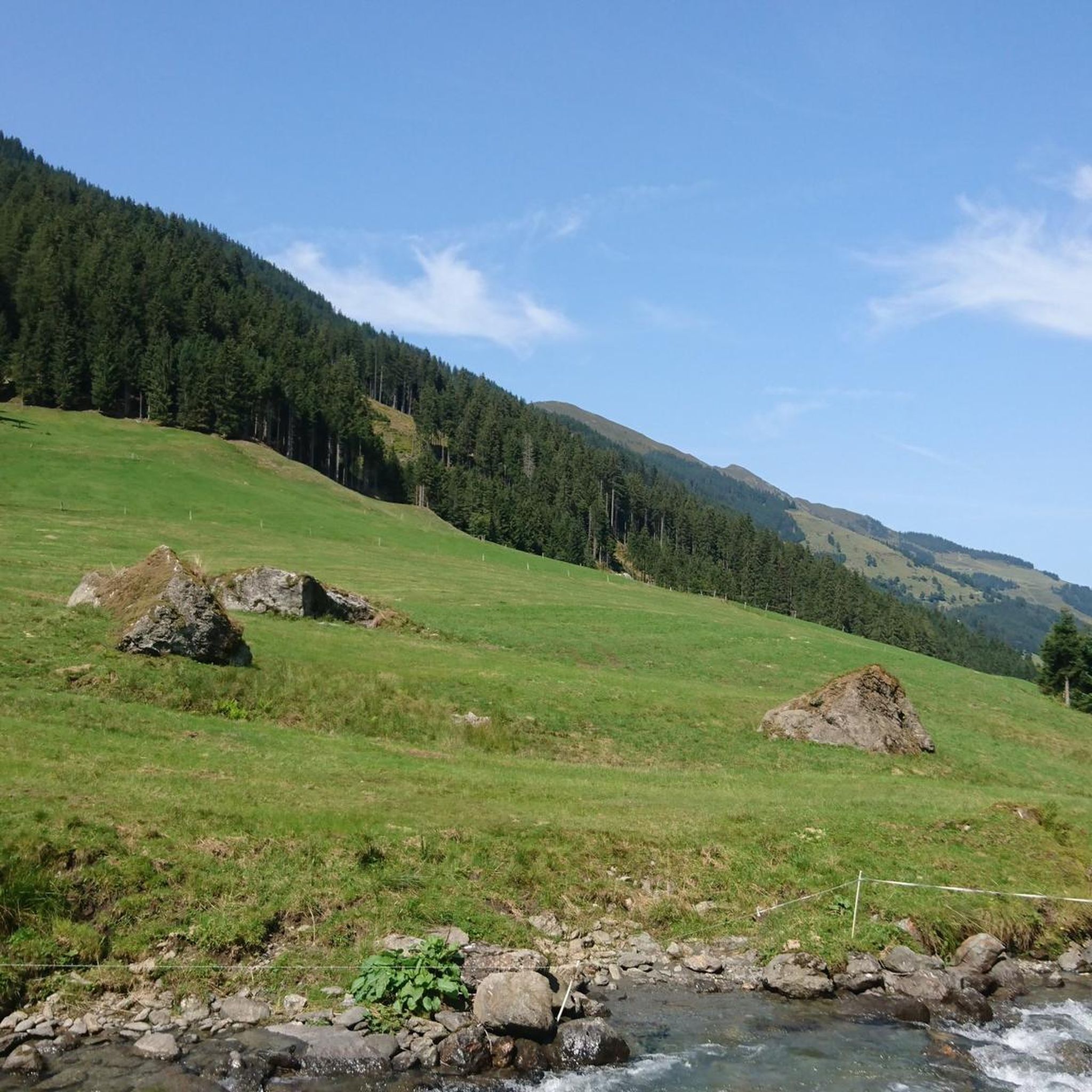
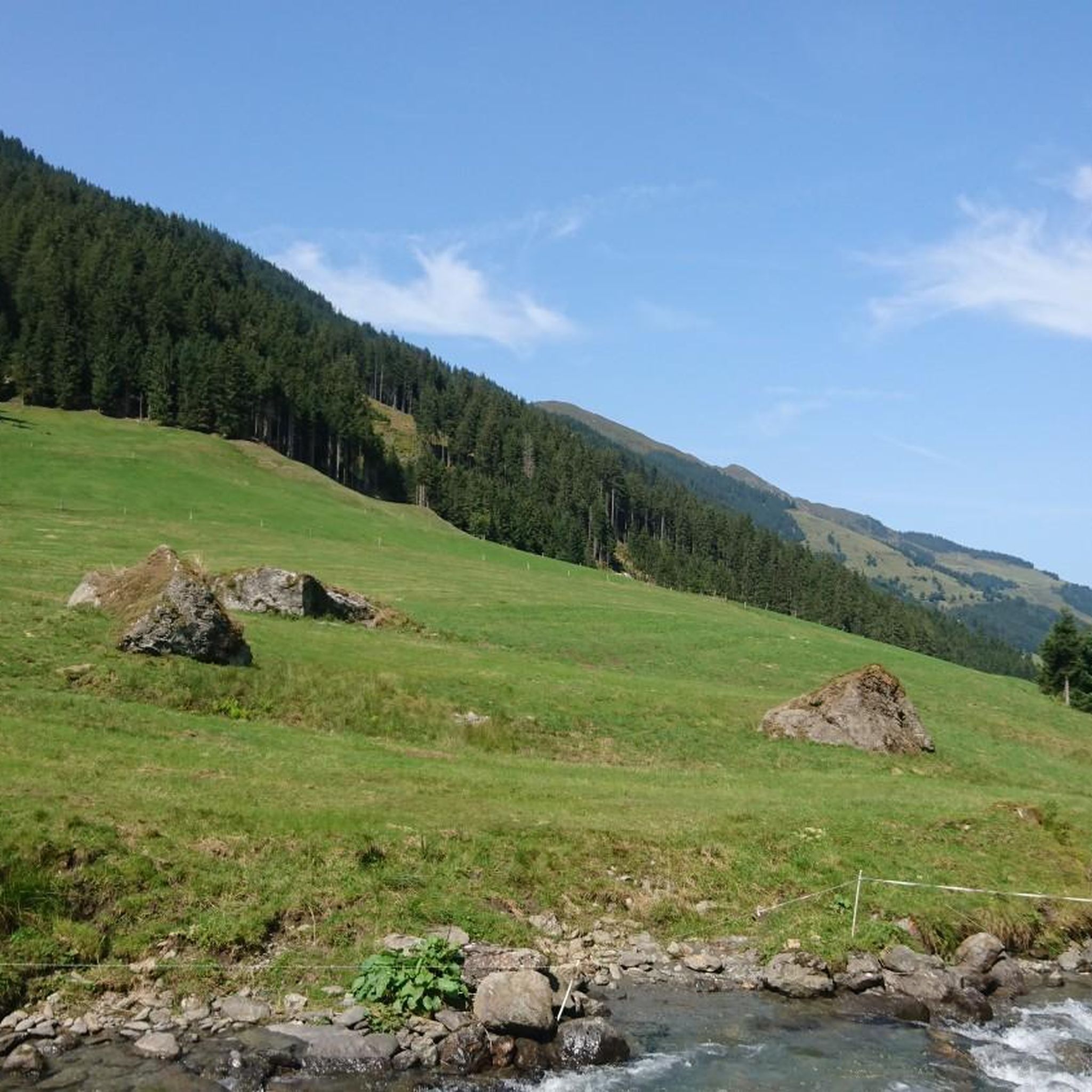
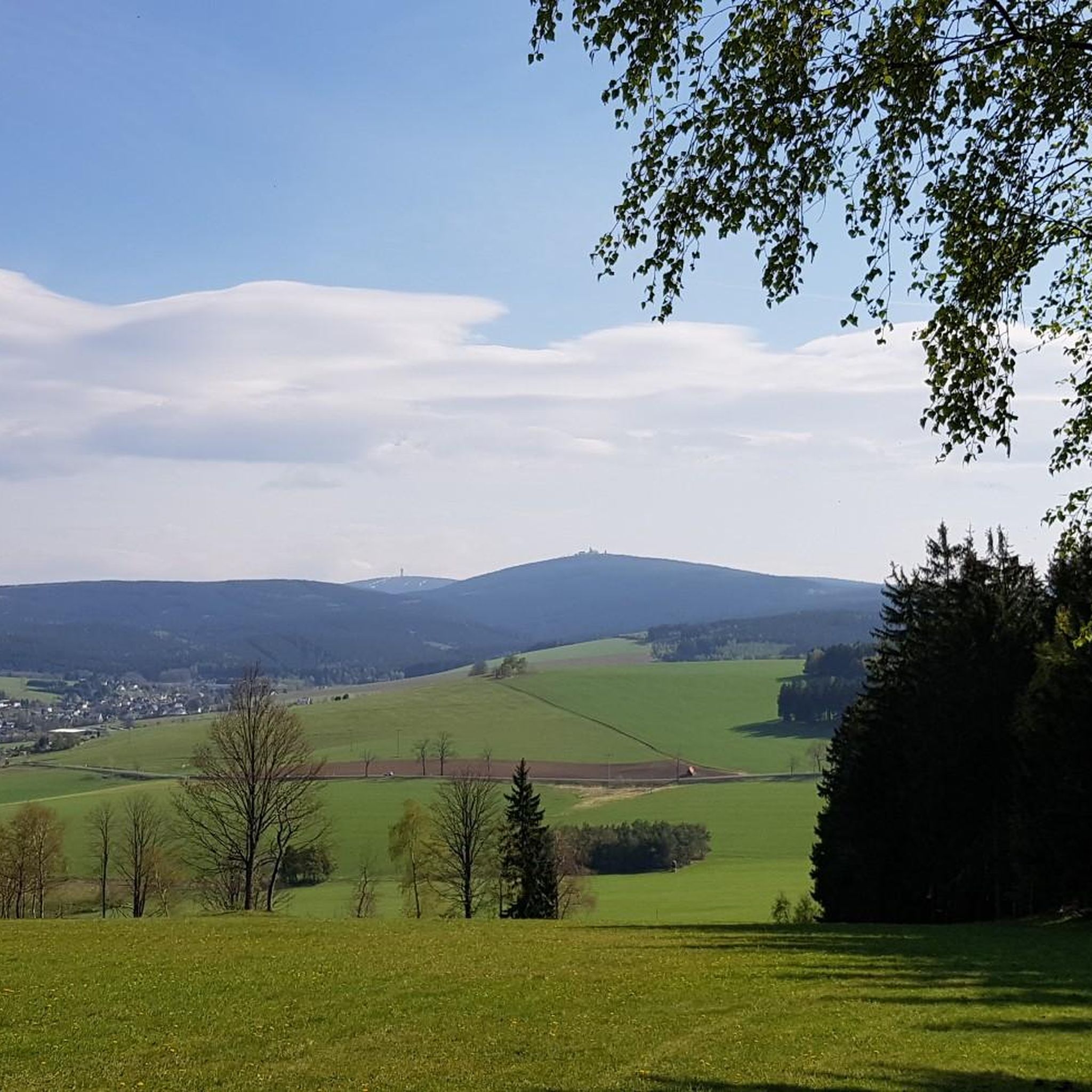
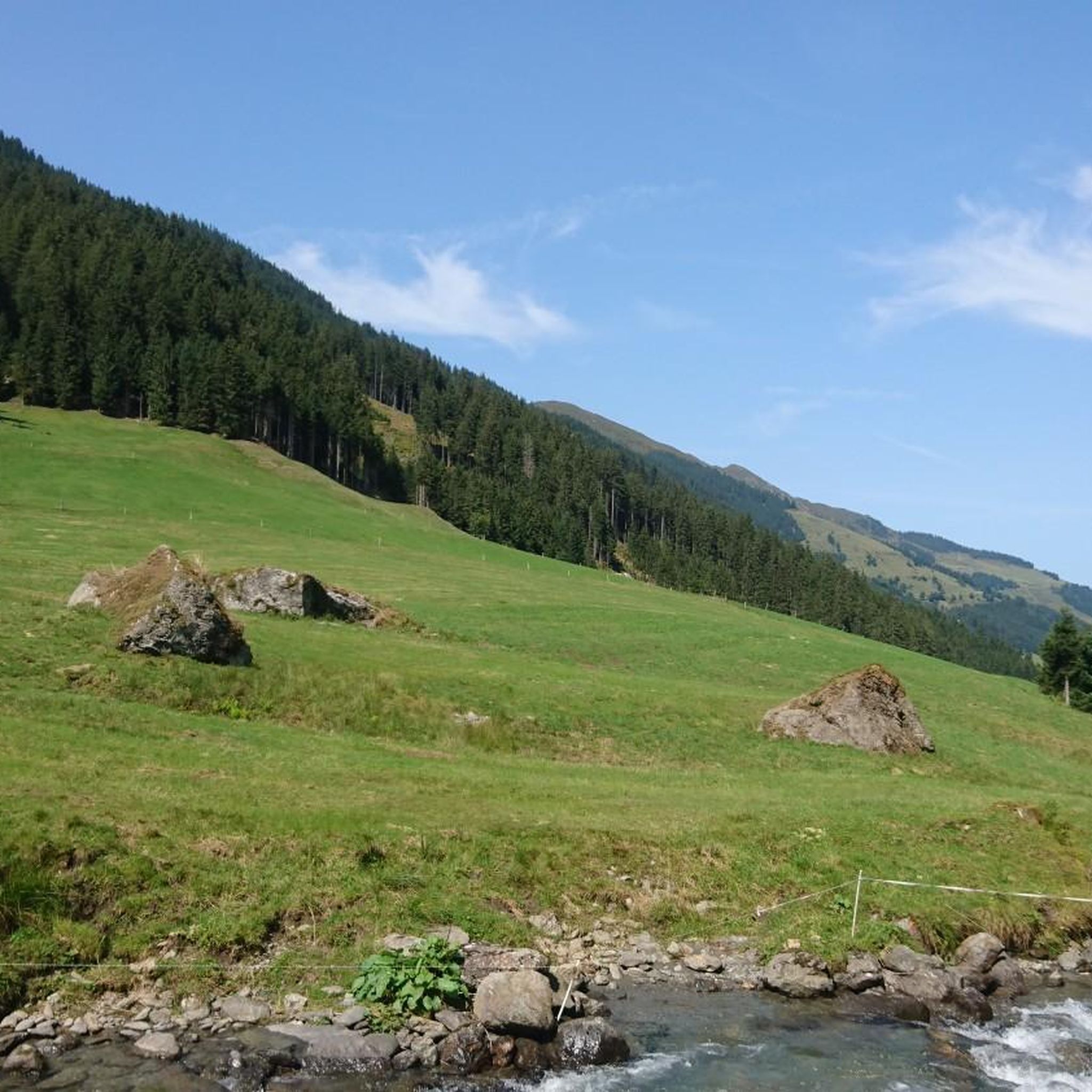
Tips from the Community

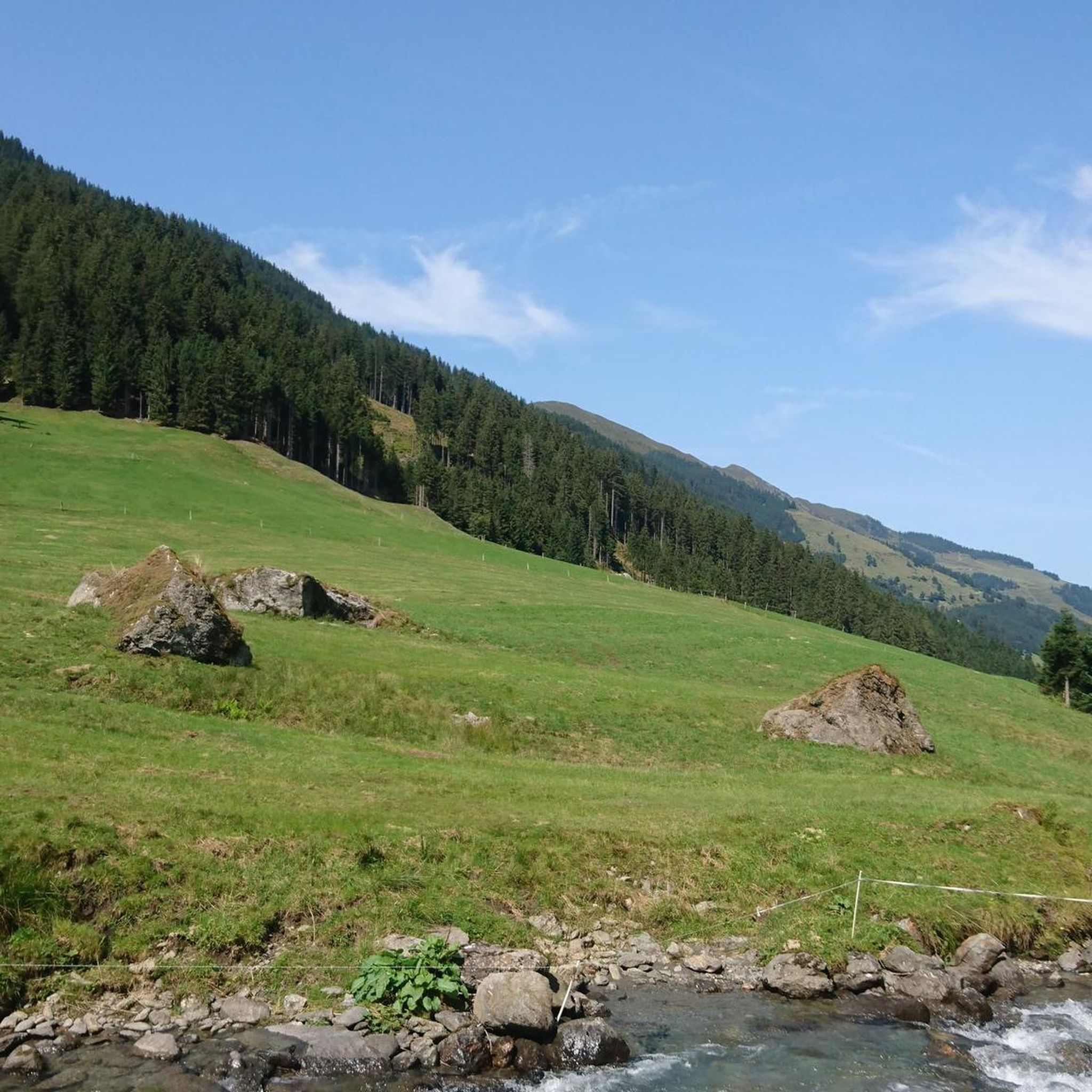
Beautiful valley and starting point for a hike to the Neue Bamberger Hütte.
0
0

Directly below the Schafsiedel summit lies the upper of the three Wildalm lakes. A magnificent panorama is naturally included.
1
0
Three magnificent mountain lakes on the way from the new Bamberger Hütte up to Schafsiedel. All three invite you to marvel, rest, and perhaps refresh yourself.
0
0
A magnificent mountain with a view, surrounded by summery green slopes with a distinctly alpine finale. At over 2,400 meters above sea level, you can admire a magnificent panoramic view, especially the panorama of the Großglockner and Großvenediger mountains to the south.
1
0
The lower Wildalmsee is one of three magnificent larger mountain lakes between the Neuer Bamberger Hütte and the Schafsiedel. It's a welcome refreshment on hot days and, of course, a lovely place to rest.
0
0
Starting point for the new Bamberger Hütte (NBH)-
0
0
Wonderful section in the forest along a wild stream with beautiful small waterfalls.
1
0
The Neue Bamberger Hütte is beautifully situated in a beautiful high valley behind Kelchsau in the Kitzbühel Alps. In summer, guests can enjoy magnificent green alpine meadows and numerous easily accessible summits. The hut offers rooms and dormitories of varying sizes and has been designated a child-friendly hut, which can be both a blessing and a curse depending on family status and occupancy. ;-)
1
0
Frequently Asked Questions
What types of hiking trails can I find in Wildruhefläche Ahrnbach?
Wildruhefläche Ahrnbach offers a diverse range of hiking experiences, from easy walks to challenging mountain tours. You'll find paths suitable for various fitness levels, including 14 easy, 73 moderate, and 44 difficult routes. The terrain is characterized by mountainous paths with significant elevation changes, set within an alpine and sub-alpine landscape.
What is the best time of year to go hiking in Wildruhefläche Ahrnbach?
The best time for hiking in Wildruhefläche Ahrnbach is generally during the warmer months when trails are clear of snow and ice. However, as a designated wildlife resting area, access outside of certain seasons (e.g., November to May) might be restricted to protect local wildlife, particularly red deer. Always check local regulations and conditions before planning your trip.
Are there any family-friendly hiking options in Wildruhefläche Ahrnbach?
Yes, Wildruhefläche Ahrnbach includes 14 easy routes that are generally suitable for families. These trails offer a gentler introduction to the region's natural beauty without the demanding elevation gains of more difficult mountain tours. Look for routes classified as 'easy' for a more relaxed family outing.
Can I bring my dog on the hiking trails in Wildruhefläche Ahrnbach?
As Wildruhefläche Ahrnbach is a designated wildlife resting area, there may be specific rules regarding dogs to protect local wildlife. While many trails might be accessible, it's crucial to keep dogs on a leash and adhere to any posted signs or seasonal restrictions. Always check local guidelines for the specific trail you plan to hike.
What kind of views or natural features can I expect to see?
The region features an alpine and sub-alpine landscape, meaning you can expect magnificent mountain views and pristine natural surroundings. While specific named features are not detailed, the presence of challenging mountain tours suggests panoramic vistas and a rich, undisturbed natural environment, characteristic of the Austrian Alps.
How challenging are the hikes in Wildruhefläche Ahrnbach?
Hikes in Wildruhefläche Ahrnbach range from easy to difficult. Easy routes typically involve up to 2 hours and 300 meters elevation, moderate routes up to 5 hours and 900 meters elevation, and difficult routes exceed 5 hours or 900 meters elevation, requiring very good fitness and alpine experience. For example, the Schafsiedel trail is a difficult 9.6-mile route with over 1,200 meters of elevation gain.
Are there any circular hiking routes available?
Yes, there are several circular routes. For instance, the difficult Bergschnitte Brennhütte – Blaue Lacke loop from Schutzzone Birkhuhn/Auerhuhn covers 9.8 miles with over 1,100 meters of elevation gain. Another challenging option is the Großdostalm – Hocheggl Alpe loop from Schutzzone Birkhuhn/Auerhuhn, a 10.5-mile path offering extensive mountain views.
What do other hikers say about Wildruhefläche Ahrnbach?
The hiking routes in Wildruhefläche Ahrnbach are highly rated by the komoot community, with an average score of 4.7 stars from over 2,600 reviews. Hikers often praise the diverse mountain paths, significant elevation changes, and the protected natural environment that offers a rewarding experience in the Austrian Alps.
Is public transport available to access the hiking trails?
While the guide data does not specify public transport options, it is common for popular hiking regions in Austria to have some form of bus service or train connections to nearby towns. We recommend checking local transport schedules for the Kitzbühel district to plan your access to Wildruhefläche Ahrnbach.
Are there parking facilities near the trailheads?
The guide data does not explicitly detail parking facilities. However, for a region with numerous hiking trails like Wildruhefläche Ahrnbach, it is typical to find designated parking areas near popular trailheads or access points. Look for signs indicating 'Schutzzone Birkhuhn/Auerhuhn' as a common starting point for several routes, where parking might be available.
What is the significance of 'Wildruhefläche' in the name?
Wildruhefläche translates to 'wildlife resting area' or 'sanctuary'. This designation means the area is protected to safeguard local wildlife, particularly red deer, during sensitive periods. This ensures a relatively undisturbed natural environment, enhancing the outdoor experience for visitors who appreciate nature, but also implies adherence to specific access rules and seasons.
Most popular routes in Wildruhefläche Ahrnbach

Get inspired with the komoot mobile app


Explore more
Browse the best Hikes in other regions.
