The best running trails in D'Aguilar National Park
4.4
(7)
1,314
runners
14
runs
Jogging in D'Aguilar National Park offers diverse landscapes ranging from subtropical rainforests to open eucalypt woodlands, just a short distance from Brisbane. The park features varied terrain, including significant elevation changes, making it suitable for trail running. Natural water features like waterfalls and bush rock pools are present, alongside views of the Glasshouse Mountains and Mount Nebo. The D'Aguilar Range provides a scenic backdrop with cool forests in the southern section and unique areas around Mount Mee.
Best jogging routes…
Last updated: July 4, 2026
44
runners
36.5km
04:51
1,430m
1,430m
Hard run. Very good fitness required. Sure-footedness, sturdy shoes and alpine experience required.
36
runners
32.8km
04:12
1,300m
1,300m
Hard run. Very good fitness required. Sure-footedness, sturdy shoes and alpine experience required.

Sign up for free
9
runners
9.09km
01:11
350m
350m
Hard run. Very good fitness required. Mostly paved surfaces. Suitable for all skill levels.
8
runners
9.48km
01:12
360m
360m
Hard run. Very good fitness required. Mostly paved surfaces. Suitable for all skill levels.
5
runners
19.5km
02:32
720m
720m
Hard run. Very good fitness required. Mostly paved surfaces. Suitable for all skill levels.
Get access to more routes and recommendations from other explorers.
Sign up for free
Already have an account?
Our route recommendations are based on thousands of hikes, rides, and runs completed by other people on komoot.
Start today with a free account
Your next adventure awaits.
Login or Signup
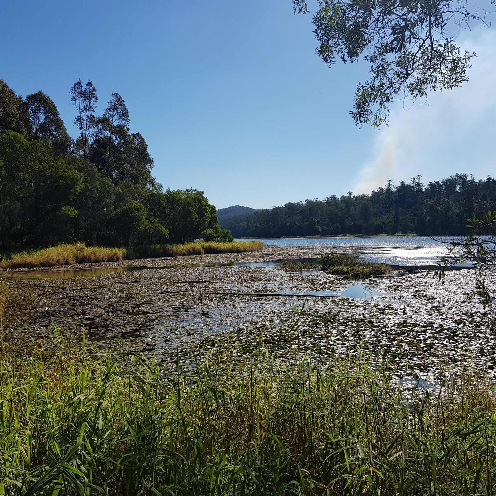
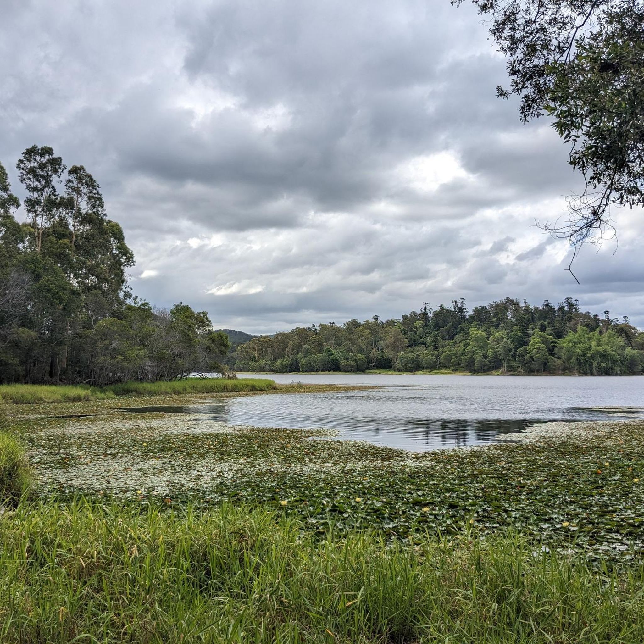
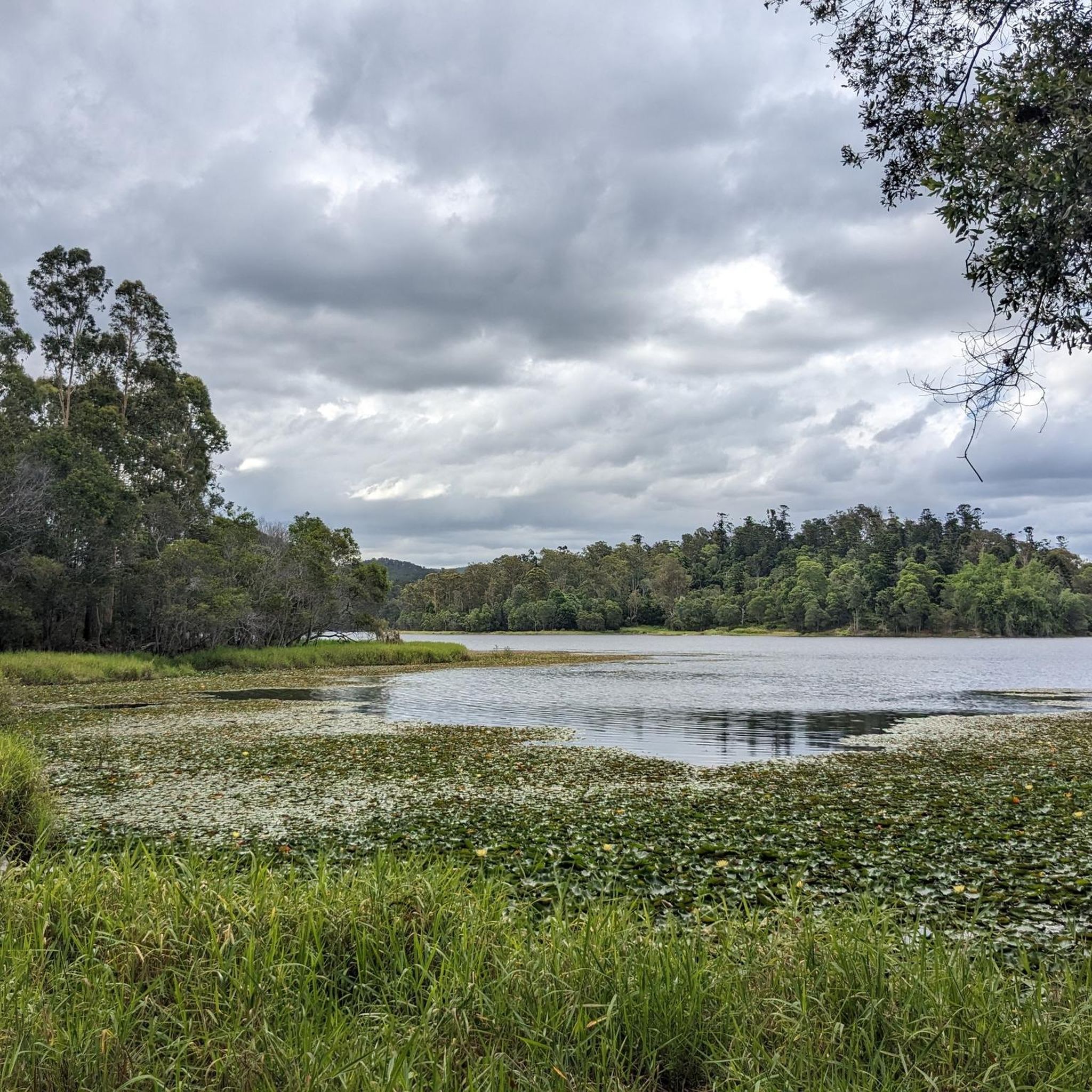
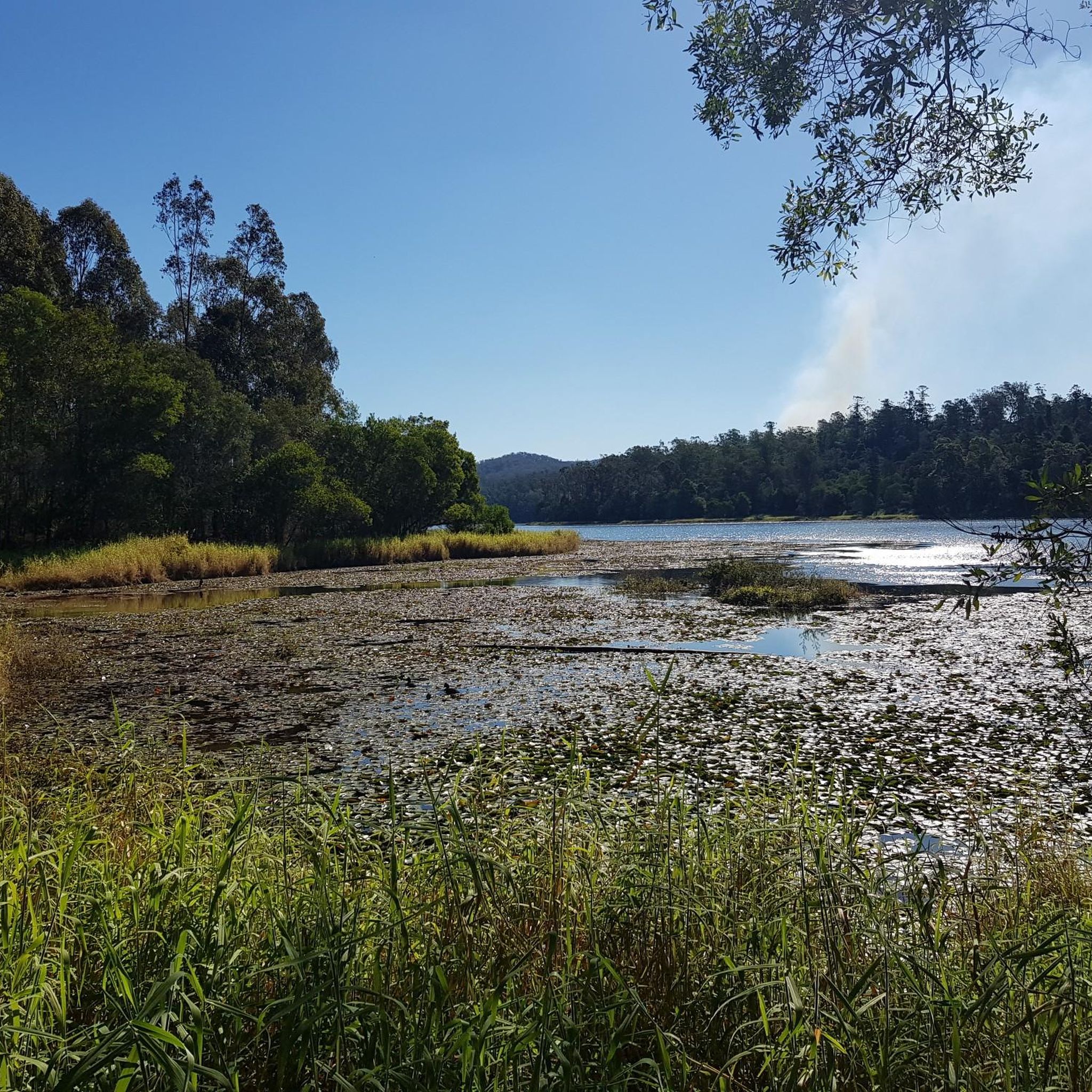

Tips from the Community

Northbrook Mountain Remote Bushcamp is a designated walk-in campsite within D’Aguilar National Park, nestled in the forest near Northbrook Mountain northwest of Brisbane. There are no facilities, so you’ll need to be fully self-sufficient and carry in your own water, food, and equipment. Access is via steep, unsealed management trails through forested terrain with beautiful views along the ridgeline. It is a great spot for a quiet, secluded overnight experience away from developed camping areas.
0
0
Lawton Road is a rural access road in the Dundas/Northbrook area of Queensland, running near Northbrook Mountain within D’Aguilar National Park. It provides access to sections of the park’s trail network, including routes used for hiking, trail running, and mountain biking around the mountain. Along the way, you’ll be surrounded by dense bushland; however, keep an eye out for brief clearings in the trees where you can catch a beautiful glimpse of Lake Wivenhoe in the distance.
0
0
Bellbird Grove is a popular picnic and recreation area within Brisbane Forest Park, nestled along Cedar Creek and surrounded by eucalypt forest. There are barbecues, shelters, toilets, and open grassy spaces, making it an ideal base for short walks and family outings. It’s also a trailhead for several walking tracks, with lots of birdlife, including whipbirds, cockatoos, and wonga pigeons. While you’re here, be sure to listen for the distinctive call of Bell Miners (or bellbirds), which call this area home.
0
0
Frequently Asked Questions
How many running routes are available in D'Aguilar National Park?
D'Aguilar National Park offers nearly 20 dedicated running routes, ranging from moderate to difficult, providing diverse options for trail runners. While there is one moderate route, the majority, 16 routes, are classified as difficult, featuring significant elevation changes and varied terrain.
What kind of terrain can I expect on the jogging trails in D'Aguilar National Park?
The park boasts a rich variety of terrain, transitioning from lush subtropical rainforests to open eucalypt woodlands and distinctive scribbly gum forests. You'll encounter extensive networks of walking tracks and management roads, with some routes featuring wide fire trails, rocky sections, and a mix of steep inclines and undulating hills. This diversity offers varied challenges for runners.
Are there any running routes with waterfalls or scenic water features?
Yes, D'Aguilar National Park is home to striking natural water features. You can find cascading waterfalls like Greenes Falls, Bull Falls, Love Creek Falls, and the Middle Kobble Creek Waterfall. Picturesque bush rock pools, such as Rocky Hole, also offer opportunities to cool down, especially during warmer months.
What are some notable viewpoints or landmarks along the running trails?
Many trails offer breathtaking views of significant natural landmarks. You can enjoy vistas of the Glasshouse Mountains, Mount Nebo, and Mount Mee. Specific routes like the Somerset Lookout loop from The Gantry provide views towards Somerset and Wivenhoe lakes. The Camp Mountain Lookout is another excellent spot for panoramic views.
Are there any circular running routes in D'Aguilar National Park?
Yes, the park features several circular running routes. For example, the Somerset Lookout loop from The Gantry is a popular 15.4 km circular trail. Other options include the 13km circuit version of the Somerset Trail in the Mount Mee section, and the South Boundary Road, 69 Track, and Reservoir Track Loop, which combines fire trails with waterside stretches.
What is the difficulty level of running trails in D'Aguilar National Park?
The majority of running trails in D'Aguilar National Park are classified as difficult, with 16 out of 17 routes falling into this category. These routes often feature significant elevation gain and varied terrain, making them suitable for experienced trail runners. There is one moderate route available for those seeking a slightly less challenging run.
What do other runners say about their experience in D'Aguilar National Park?
The running routes in D'Aguilar National Park are highly rated by the komoot community, with an average score of 4.0 stars from over 10 reviews. Runners often praise the diverse landscapes, from subtropical rainforests to eucalypt woodlands, and the challenging yet rewarding elevation changes that make for an engaging trail running experience.
Are there any facilities or places to rest along the running routes?
Yes, the park offers some facilities. The Gantry is a historic sawmill structure and picnic area that serves as a starting point for several walks and runs. Additionally, you might find amenities at places like the England Creek Bush Camp, which provides facilities for visitors.
Can I reach D'Aguilar National Park by public transport for running?
D'Aguilar National Park is conveniently located just 15 minutes from Brisbane's CBD. While specific public transport routes directly into all trailheads might be limited, it's advisable to check local transport options to the park's main access points or consider a combination of public transport and a short taxi/rideshare for closer access to trailheads.
Are dogs allowed on the running trails in D'Aguilar National Park?
Generally, dogs are not permitted in most areas of D'Aguilar National Park to protect wildlife. However, there are specific designated areas where dogs on a leash are allowed, such as some picnic areas or management trails. It's always best to check the official Queensland Parks and Wildlife Service website for the most current and detailed dog policy before your visit: parks.qld.gov.au.
Are there any family-friendly running options in D'Aguilar National Park?
While many routes are classified as difficult, some sections of the park's extensive network of walking tracks and management roads might be suitable for families looking for a gentler run or walk. The Araucaria Track, a 5 km return track departing from the Walkabout Creek Discovery Centre, could be a good introduction to the park's natural beauty for families, though it's always recommended to assess the specific trail conditions and your family's fitness level.
What is the longest running route available in D'Aguilar National Park?
The longest running route in D'Aguilar National Park is the Western Window loop from D'Aguilar National Park, which spans approximately 36.3 km. This difficult trail features significant elevation gain and varied terrain, typically taking around 4 hours and 49 minutes to complete.
Most popular routes in D'Aguilar National Park
Most popular attractions in D'Aguilar National Park

Get inspired with the komoot mobile app


Explore more
Browse the best Running Trails & Routes in other regions.
