The best walks and hikes in D'Aguilar National Park
4.6
(250)
3,534
hikers
29
hikes
Hiking trails in D'Aguilar National Park traverse a diverse landscape of eucalypt woodlands, subtropical rainforests, and scribbly gum forests. The terrain features rugged gorges, mountains, and serene waterfalls like Greenes Falls, shaped by ancient volcanic activity. Located northwest of Brisbane, the park spans approximately 40,000 hectares and includes mountain streams and rock pools.
Best hiking trails in D'Aguilar National Park
- The most popular hiking route is Greenes Falls via Rainforest and Cypress Grove Circuit, a 2.8 miles (4.5 km) trail that takes 1 hour 17 minutes to complete. This easy route winds through lush subtropical rainforests to Greenes Falls.
- Another top favourite among local hikers is Somerset trail circuit, a moderate 7.8 miles (12.6 km) path. This trail offers panoramic views of Somerset Dam and Lake Wivenhoe.
- Local hikers also love the Somerset Lookout via Somerset trail, a 8.8 miles (14.1 km) trail leading through varied forest, often completed in about 4 hours 1 minute.
- Hiking in D'Aguilar National Park is defined by eucalypt woodlands, subtropical rainforests, rugged gorges, and waterfalls. The network offers options for different ability levels, from easy walks to more challenging routes.
- The routes in D'Aguilar National Park are highly rated by the komoot community with an average score of 4.7 stars from over 140 reviews. More than 2400 hikers have used komoot to explore D'Aguilar National Park's varied terrain.
Last updated: June 30, 2026
4.7
(11)
137
hikers
4.48km
01:17
110m
110m
Easy hike. Great for any fitness level. Easily-accessible paths. Suitable for all skill levels.
4.7
(16)
110
hikers
12.6km
03:33
260m
260m
Moderate hike. Good fitness required. Easily-accessible paths. Suitable for all skill levels.

Sign up for free
39
hikers
9.25km
03:09
410m
410m
Moderate hike. Good fitness required. Mostly accessible paths. Sure-footedness required.
4.5
(2)
32
hikers
8.62km
02:17
90m
90m
Moderate hike. Good fitness required. Easily-accessible paths. Suitable for all skill levels.
5.0
(1)
28
hikers
5.95km
01:55
250m
250m
Easy hike. Great for any fitness level. Easily-accessible paths. Suitable for all skill levels.
Get access to more routes and recommendations from other explorers.
Sign up for free
Already have an account?
Our route recommendations are based on thousands of hikes, rides, and runs completed by other people on komoot.
Start today with a free account
Your next adventure awaits.
Login or Signup

Tips from the Community

At this point along Thylogale Track, the thick forests open up to a nice viewpoint. This diverse forest is made up of a mix of tallowwood trees, stringybarks bloodwoods, Sydney blue gums, eucalyptus trees and more. You may also hear the calls overhead of wompoo pigeons, rose-crowned fruit-doves and satin bowerbirds.
0
0
Jollys Lookout is an awesome overlook of D'Aguilar National Park, with views of the Enoggera Forest Reserve, Moreton Bay, and the Glasshouse Mountains. Just at the parking area, this overlook is wheelchair accessible, has sheltered and exposed picnic tables, BBQs, and a public toilet. This viewpoint was named after William Jolly, the first Mayor of Greater Brisbane.
0
0
A few meters south of Boobbana National Car Park, past the toilets, sits the junction of Thylogale Track and Pitta Circut. Here, under the shade of the surrounding trees, is a great spot for a break or for enjoying a bite to eat.
0
0

D’Aguilar National Park protects about 36,000 hectares of forested mountains and valleys northwest of Brisbane, spanning the D’Aguilar Range that includes a mix of subtropical rainforest, eucalypt woodland, and steep sandstone escarpments. It's one of the closest large natural areas to the city, making it popular for bushwalking, mountain biking, and scenic drives through this beautiful area.
0
0
This track is a relatively challenging bushwalk that leads through beautiful eucalypt forest and pockets of subtropical rainforest to the crash site of a 1977 aircraft. There is some uneven terrain, a few creek crossings, and a steep descent near the end, with some sections becoming difficult to follow due to overgrowth or fallen trees. Carrying a paper map or your komoot offline GPS route is recommended, as navigation can be less straightforward in parts of the forest.
0
0
The Piper Comanche Wreck is the remains of a light aircraft that crashed in March 1977 after striking trees in the dense rainforest near Mount D’Aguilar. The wreckage lies scattered here in this secluded gully and has been left largely in place as a quiet memorial within the bush. It is now a well-known bushwalking destination, surrounded by dense rainforest and eucalypt forest.
0
0
Northbrook Mountain Remote Bushcamp is a designated walk-in campsite within D’Aguilar National Park, nestled in the forest near Northbrook Mountain northwest of Brisbane. There are no facilities, so you’ll need to be fully self-sufficient and carry in your own water, food, and equipment. Access is via steep, unsealed management trails through forested terrain with beautiful views along the ridgeline. It is a great spot for a quiet, secluded overnight experience away from developed camping areas.
0
0
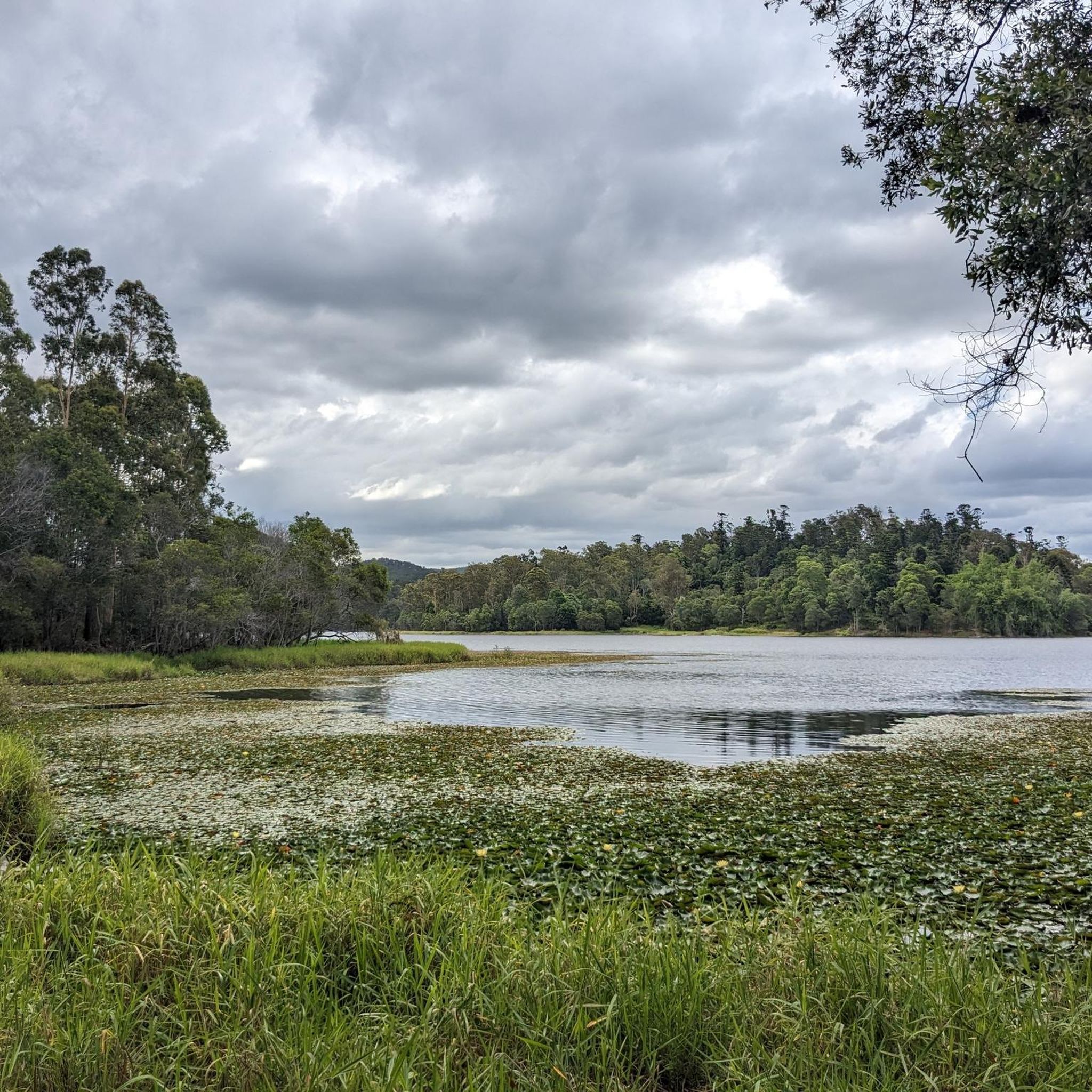
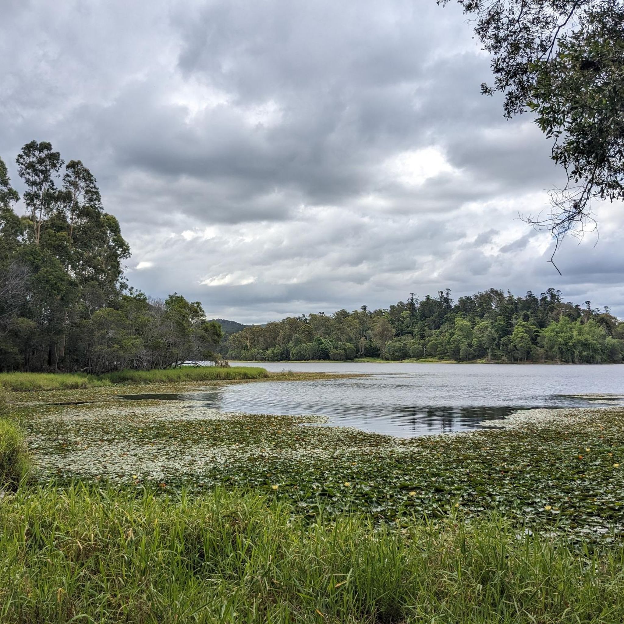
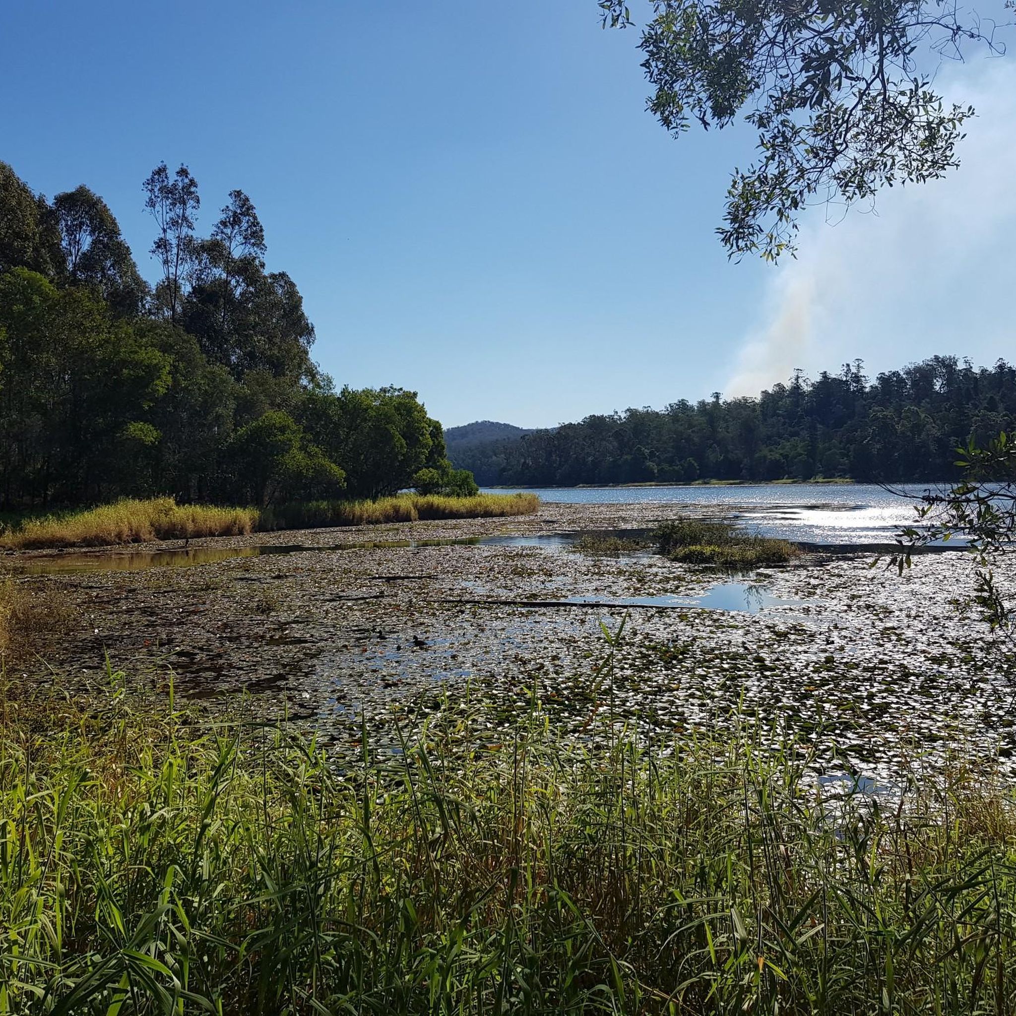
Lawton Road is a rural access road in the Dundas/Northbrook area of Queensland, running near Northbrook Mountain within D’Aguilar National Park. It provides access to sections of the park’s trail network, including routes used for hiking, trail running, and mountain biking around the mountain. Along the way, you’ll be surrounded by dense bushland; however, keep an eye out for brief clearings in the trees where you can catch a beautiful glimpse of Lake Wivenhoe in the distance.
0
0
Frequently Asked Questions
What types of landscapes can I expect to see while hiking in D'Aguilar National Park?
D'Aguilar National Park offers a diverse range of landscapes, including expansive eucalypt woodlands, dense subtropical rainforests, and distinctive scribbly gum forests. You'll also encounter rugged gorges, mountains formed by ancient volcanic activity, and serene waterfalls.
Are there any easy trails suitable for beginners or families in D'Aguilar National Park?
Yes, D'Aguilar National Park has several easy trails perfect for beginners and families. An excellent option is the Greenes Falls via Rainforest and Cypress Grove Circuit, which is 2.8 miles (4.5 km) long and winds through lush subtropical rainforest to Greenes Falls. Another easy route is the Mt Nebo Lookout loop from D'Aguilar National Park, offering scenic views over 5.4 km.
What are some notable natural features or attractions to look out for on the trails?
Hikers can discover several beautiful natural features. Don't miss Greenes Falls, a peaceful spot amidst moss-covered rocks. Gorge pool and gully offers a glimpse into the park's rugged terrain. You can also find viewpoints like Camp Mountain Lookout, providing sweeping vistas of the Samford Valley and Moreton Bay.
Can I find circular walking routes in D'Aguilar National Park?
Yes, there are several circular routes available. The Greenes Falls via Rainforest and Cypress Grove Circuit is a popular easy loop. For a moderate challenge, consider the Somerset trail circuit, which is 7.8 miles (12.6 km) long and offers panoramic views of Somerset Dam and Lake Wivenhoe.
Are dogs allowed on the hiking trails in D'Aguilar National Park?
Generally, dogs are not permitted on trails within D'Aguilar National Park to protect the diverse wildlife and natural environment. It's always best to check the latest park regulations before planning your visit with a pet.
What is the best time of year to go hiking in D'Aguilar National Park?
The park is accessible year-round, but the cooler months (autumn and spring) are often preferred for hiking to avoid the heat and humidity of summer. However, during warmer months, spots like Rocky Hole are popular for a refreshing swim, making it enjoyable for different activities depending on the season.
How many hiking trails are there in D'Aguilar National Park?
There are over 25 hiking trails available in D'Aguilar National Park, catering to various skill levels from easy walks to more challenging routes. The komoot community has explored more than 2,400 of these routes.
What do other hikers enjoy most about hiking in D'Aguilar National Park?
The area is highly rated by the komoot community, with an average score of 4.7 stars from over 140 reviews. Reviewers often praise the diverse landscapes, from quiet woodlands to lush rainforests, and the well-maintained, clearly marked trails that make for an accessible and fulfilling escape into nature.
Are there opportunities for wild swimming in D'Aguilar National Park?
Yes, D'Aguilar National Park offers opportunities for wild swimming. Rocky Hole is a popular spot for a refreshing swim during warmer months, nestled within eucalypt forest. You might also find rock pools near waterfalls like Greenes Falls.
What are the typical hiking trail lengths and difficulties in the park?
Hiking trails in D'Aguilar National Park vary significantly in length and difficulty. You can find easy routes like the Greenes Falls via Rainforest and Cypress Grove Circuit at 2.8 miles (4.5 km), taking about 1 hour 17 minutes. Moderate trails, such as the Somerset Lookout via Somerset trail, can be around 8.8 miles (14.1 km) and take approximately 4 hours. The park offers a good mix, with 4 easy, 18 moderate, and 5 difficult routes.
Are there any trails with panoramic views in D'Aguilar National Park?
Absolutely. The Somerset trail circuit offers stunning panoramic views of Somerset Dam and Lake Wivenhoe. Additionally, the Camp Mountain via Sutton Court Track leads to the Camp Mountain Lookout, providing sweeping vistas of the Samford Valley and Moreton Bay.
What kind of wildlife can I expect to see while hiking?
D'Aguilar National Park is rich in biodiversity. Its diverse ecosystems are home to over 240 bird species, including bowerbirds and black-cockatoos, and 66 mammal species like short-eared possums. Keep an eye out for unique species such as giant barred frogs and spiny crayfish in the mountain streams.
Most popular routes in D'Aguilar National Park
Most popular attractions in D'Aguilar National Park

Get inspired with the komoot mobile app


Explore more
Browse the best Hikes in other regions.
