The best road cycling routes in D'Aguilar National Park
4.6
(77)
4,665
riders
67
rides
Road cycling in D'Aguilar National Park offers diverse landscapes and challenging terrain within the D'Aguilar Range. The park features winding roads like Mount Nebo Road and Mount Glorious Road, known for their significant elevation changes. Cyclists encounter a blend of subtropical rainforests, eucalypt woodlands, and open forests, providing varied experiences for road cyclists seeking climbs and descents.
Best road cycling routes in D'Aguilar National Park
- The most popular road cycling route is Jindalee Route – Jindalee Bridge loop from The Gap, a 26.6 miles (42.9 km) trail that takes 2 hours 35 minutes to complete. This moderate route features significant elevation gain.
- Another top favourite among local road cyclists is Nature Cubby Playground loop from Upper Brookfield, a moderate 35.6 miles (57.3 km) path. This route traverses varied terrain with notable ascents.
- Local road cyclists also love the Westridge Outlook loop from Highvale, a 14.9 miles (24.0 km) trail leading through eucalypt woodlands, often completed in about 2 hours 5 minutes.
- Road cycling in D'Aguilar National Park is defined by subtropical rainforests, eucalypt woodlands, and significant elevation changes. The network offers options for different ability levels, from easy loops to challenging climbs.
- The routes in D'Aguilar National Park are highly rated by the komoot community with an average score of 4.6 stars from over 70 reviews. More than 4000 road cyclists have used komoot to explore D'Aguilar National Park's varied terrain.
Last updated: July 4, 2026
5
riders
23.5km
01:14
250m
250m
Moderate road ride. Great for any fitness level. Some segments of this route may be unpaved and difficult to ride.
6
riders
24.0km
02:05
610m
610m
Moderate road ride. Good fitness required. Some segments of this route may be unpaved and difficult to ride.

Sign up for free
85
riders
31.2km
01:37
310m
310m
Moderate road ride. Good fitness required. Some segments of this route may be unpaved and difficult to ride.
28
riders
73.3km
03:35
410m
410m
Moderate road ride. Good fitness required. Mostly well-paved surfaces and easy to ride.
24
riders
30.2km
01:40
480m
480m
Moderate road ride. Good fitness required. Mostly well-paved surfaces and easy to ride.
Get access to more routes and recommendations from other explorers.
Sign up for free
Already have an account?
Our route recommendations are based on thousands of hikes, rides, and runs completed by other people on komoot.
Start today with a free account
Your next adventure awaits.
Login or Signup

Tips from the Community

The Gayundah was one of Queensland’s first naval vessels, built in England and commissioned in 1884 for the Queensland Maritime Defence Force. It later became HMAS Gayundah after Federation, served into the First World War period, and was eventually sold for civilian use before being beached below the Woody Point cliffs in 1958 as a breakwater. Today, the rusting remains are a distinctive foreshore landmark and a reminder of Queensland’s short-lived colonial navy.
0
0
The Moreton Bay Cycleway is the easy, scenic link between Woody Point and Redcliffe Jetty, following the foreshore with sealed shared paths and constant views across the bay. This stretch is ideal on foot as well as by bike, with beaches, parks, picnic areas, toilets, and plenty of places to stop along the way. It can get busy with walkers, cyclists, runners, and families, so keep left and watch for passing bikes, especially near the busier waterfront sections.
0
0
Located on the Redcliffe Peninsula in Woody Point, this beach sits along a sheltered stretch of Moreton Bay, with calm, shallow water and wide tidal flats exposed at low tide. The foreshore includes picnic areas, trees, and a jetty, with the shared path running directly alongside the water. Conditions are generally quiet compared to busier nearby beaches, though surfaces can be muddy near the shoreline at low tide.
0
0
The Houghton Highway Bridge connects Brisbane to the Redcliffe Peninsula. A dedicated shared path runs alongside the bridge, used by both cyclists and pedestrians, with continuous views across Moreton Bay. The crossing is exposed, with little shelter from wind or sun, and conditions can feel noticeably different compared to the sheltered sections along the foreshore.
0
0
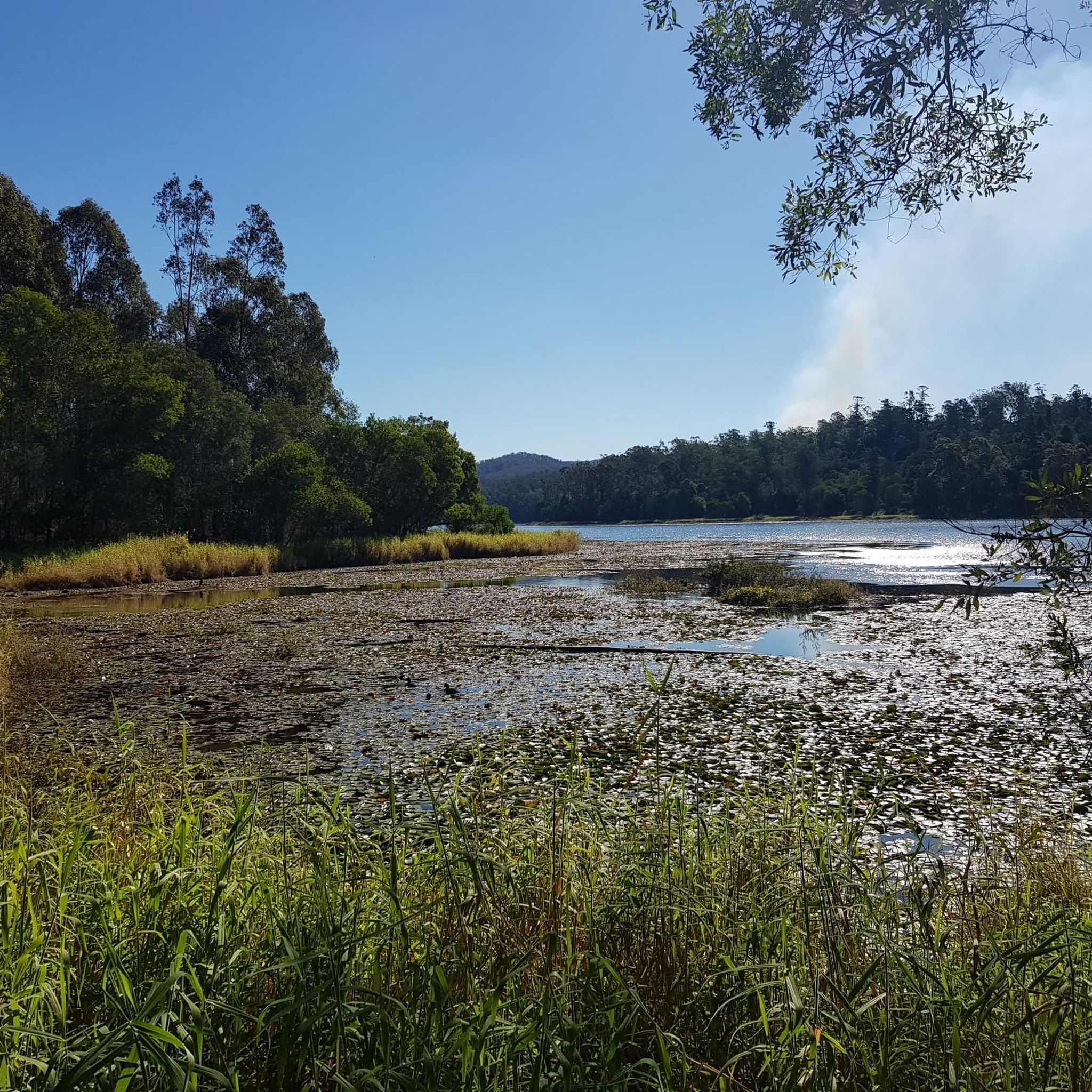
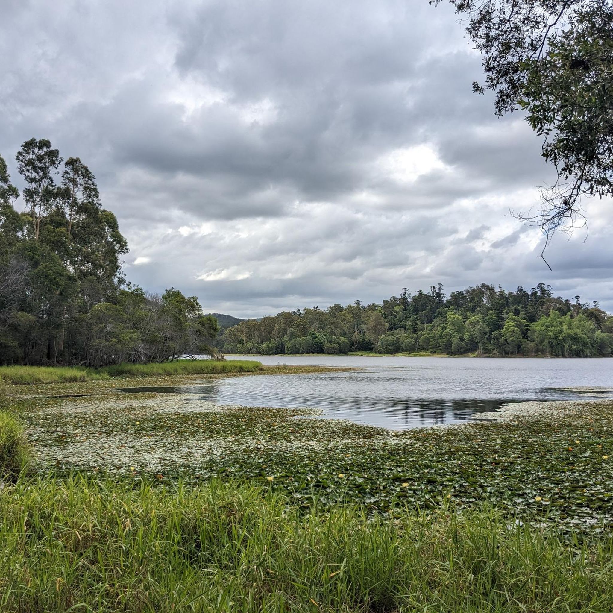
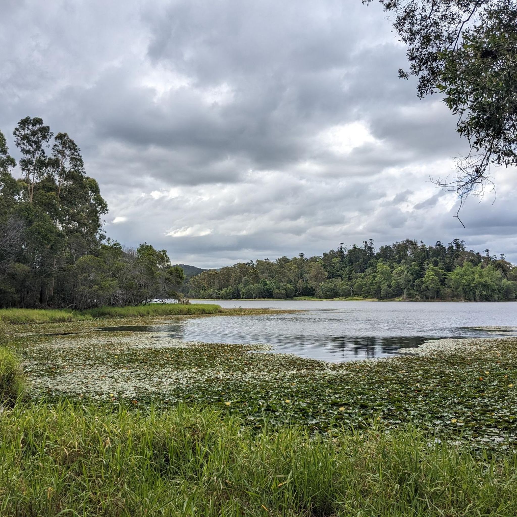
Gold Creek Reservoir, also known as Gold Creek Dam, sits on the edge of Brisbane’s western bushland and offers a quiet walking experience around a small, sheltered body of water. The reservoir was originally built to supply potable water for the region and now provides a peaceful backdrop for a loop walk of roughly five and a half kilometres through mixed wet and dry sclerophyll forest.
0
0

Nice ride. Can be narrow in places and busy with pedestrians, but you don't ride this one at race pace. This is a waterfront leisure cruise.
0
0


Nice spot for a picnic, and the start of a sweet little circuit around the reservoir. Nice bit of variety in the walk: dry rainforest and bushland
0
0
Frequently Asked Questions
What kind of terrain can I expect when road cycling in D'Aguilar National Park?
D'Aguilar National Park offers diverse terrain for road cyclists, characterized by challenging climbs and sweeping descents. You'll encounter winding roads like Mount Nebo Road and Mount Glorious Road, traversing subtropical rainforests, eucalypt woodlands, and open forests. The routes feature significant elevation changes, providing an engaging experience for various fitness levels.
Are there routes suitable for beginners or those looking for an easier ride?
Yes, D'Aguilar National Park has options for all skill levels. While many routes feature significant climbs, there are 19 easy road cycling routes available. For example, the Upper Brookfield Road Park loop from Brookfield is an easy 19 km ride with less elevation, perfect for a more relaxed experience.
Where can I find scenic viewpoints or natural attractions along the cycling routes?
The park is rich with scenic spots. You can enjoy panoramic views from several lookouts, including Jolly's Lookout, Camp Mountain lookout, Wivenhoe Lookout, Somerset Lookout, and Falls Lookout. For natural attractions, consider visiting Greenes Falls, a beautiful rainforest waterfall, or the Camp Mountain Lookout. The diverse landscapes themselves, from lush rainforests to eucalypt woodlands, are a major draw.
Are there any cafes or places to stop for refreshments during a ride?
Yes, you'll find convenient stops within the park. The villages of Mount Nebo and Mount Glorious have cafes where you can refuel. Additionally, the Walkabout Creek Discovery Centre features a cafe, and there are numerous picnic and BBQ areas like Bellbird Grove and Boombana scattered throughout the park, ideal for a break.
What do other road cyclists enjoy most about cycling in D'Aguilar National Park?
The area is highly rated by the komoot community, with an average score of 4.6 stars from over 60 reviews. Cyclists often praise the challenging climbs, the stunning natural beauty of the subtropical rainforests and eucalypt woodlands, and the rewarding sweeping descents. The varied terrain and scenic routes make it a popular destination for road cycling.
Are there any circular road cycling routes in the park?
Many of the road cycling routes in D'Aguilar National Park are designed as loops, offering a continuous journey back to your starting point. Examples include the Jindalee Route – Jindalee Bridge loop from The Gap and the Nature Cubby Playground loop from Upper Brookfield, both popular moderate options.
Can I bring my dog on the road cycling routes?
While D'Aguilar National Park is a fantastic outdoor destination, national parks in Queensland generally have restrictions regarding pets to protect wildlife and natural environments. It's best to check the official Queensland Parks and Wildlife Service website for the most current pet policies before planning your visit. You can find more information on their website: parks.qld.gov.au.
What is the best time of year to go road cycling in D'Aguilar National Park?
D'Aguilar National Park can be enjoyed year-round, but the cooler, drier months from autumn to spring (roughly April to October) are often preferred for road cycling. During these months, temperatures are milder, making the climbs more comfortable and reducing the chance of summer heat and humidity. Always check the weather forecast before heading out.
Are there any specific routes known for challenging climbs for experienced cyclists?
Absolutely. The park is renowned for its challenging climbs, particularly along Mount Nebo Road and Mount Glorious Road. These routes feature significant elevation gain and are popular training grounds for experienced cyclists. There are 12 difficult road cycling routes in the park for those seeking a rigorous workout.
Where can I park my car when visiting D'Aguilar National Park for road cycling?
D'Aguilar National Park offers various access points and day-use areas with parking facilities. Popular starting points for road cycling often include areas near The Gap, Upper Brookfield, or Highvale, which provide convenient access to the main cycling roads. Specific parking details can vary by route, so it's advisable to check the starting point of your chosen komoot tour for the most accurate information.
How many road cycling routes are available in D'Aguilar National Park?
There are over 80 road cycling routes available in D'Aguilar National Park on komoot. These routes cater to various skill levels, including easy, moderate, and difficult options, ensuring there's a ride for every cyclist.
Are there any historical sites or cultural points of interest in the park?
Yes, the park offers a glimpse into its past. The Gantry day-use area holds the remains of an historic sawmill, providing insight into the region's timber industry. While cycling, you'll also pass through areas with rich natural and cultural heritage, reflecting the diverse history of the D'Aguilar Range.
Most popular routes in D'Aguilar National Park
Most popular attractions in D'Aguilar National Park

Get inspired with the komoot mobile app


Explore more
Browse the best Road cycling routes in other regions.
