The best cycling routes in D'Aguilar National Park
4.6
(159)
3,655
riders
71
rides
Touring cycling in D'Aguilar National Park offers diverse landscapes within an hour and a half of Brisbane. The park features varied terrain, including winding scenic routes and dedicated pathways through open eucalypt woodlands, scribbly gum forests, and lush subtropical rainforests. Remote gorges and mountains within the D'Aguilar Range provide panoramic views. The park's ecosystems support a wide array of plant life.
Best touring cycling routes in D'Aguilar National Park
- The most popular touring cycling route is QUT Car Park loop from The Gap, a 18.4 miles (29.6 km) trail that takes 1 hour 47 minutes to complete. This moderate route offers varied terrain within the park's diverse ecosystems.
- Another top favourite among local touring cyclists is Western Window loop from Mount Glorious, a difficult 14.8 miles (23.8 km) path. This route traverses winding scenic roads and rainforest sections, offering significant elevation changes.
- Local touring cyclists also love the Bike loop from Upper Kedron, a 33.2 miles (53.5 km) trail leading through varied park landscapes, often completed in about 4 hours 51 minutes.
- Touring cycling in D'Aguilar National Park is defined by eucalypt woodlands, subtropical rainforests, and remote gorges. The network offers options for different ability levels, from moderate paths to more challenging routes with significant elevation.
- The routes in D'Aguilar National Park are highly rated by the komoot community with an average score of 4.6 stars from over 180 reviews. More than 4000 touring cyclists have used komoot to explore D'Aguilar National Park's varied terrain.
Last updated: July 4, 2026
4.3
(6)
53
riders
29.1km
01:44
170m
170m
Moderate bike ride. Good fitness required. Mostly paved surfaces. Suitable for all skill levels.
12
riders
30.9km
02:00
300m
300m
Moderate bike ride. Good fitness required. Mostly paved surfaces. Suitable for all skill levels.

Sign up for free
3
riders
14.5km
01:17
270m
270m
Moderate bike ride. Good fitness required. Mostly paved surfaces. Suitable for all skill levels.
4.4
(5)
60
riders
Moderate bike ride. Good fitness required. Mostly paved surfaces. Suitable for all skill levels.
4.5
(2)
48
riders
19.1km
01:10
150m
150m
Moderate bike ride. Good fitness required. Mostly paved surfaces. Suitable for all skill levels.
Get access to more routes and recommendations from other explorers.
Sign up for free
Already have an account?
Our route recommendations are based on thousands of hikes, rides, and runs completed by other people on komoot.
Start today with a free account
Your next adventure awaits.
Login or Signup

Tips from the Community

Kedron Creek passes under the Lanita Rail Trail and is a lively creek with ducks, herons, egrets, and kingfishers hanging out by the water's edge. It's scenic, surrounded by greenery and the bridge passing over it is very modern, looking like a wooden work of art.
0
0
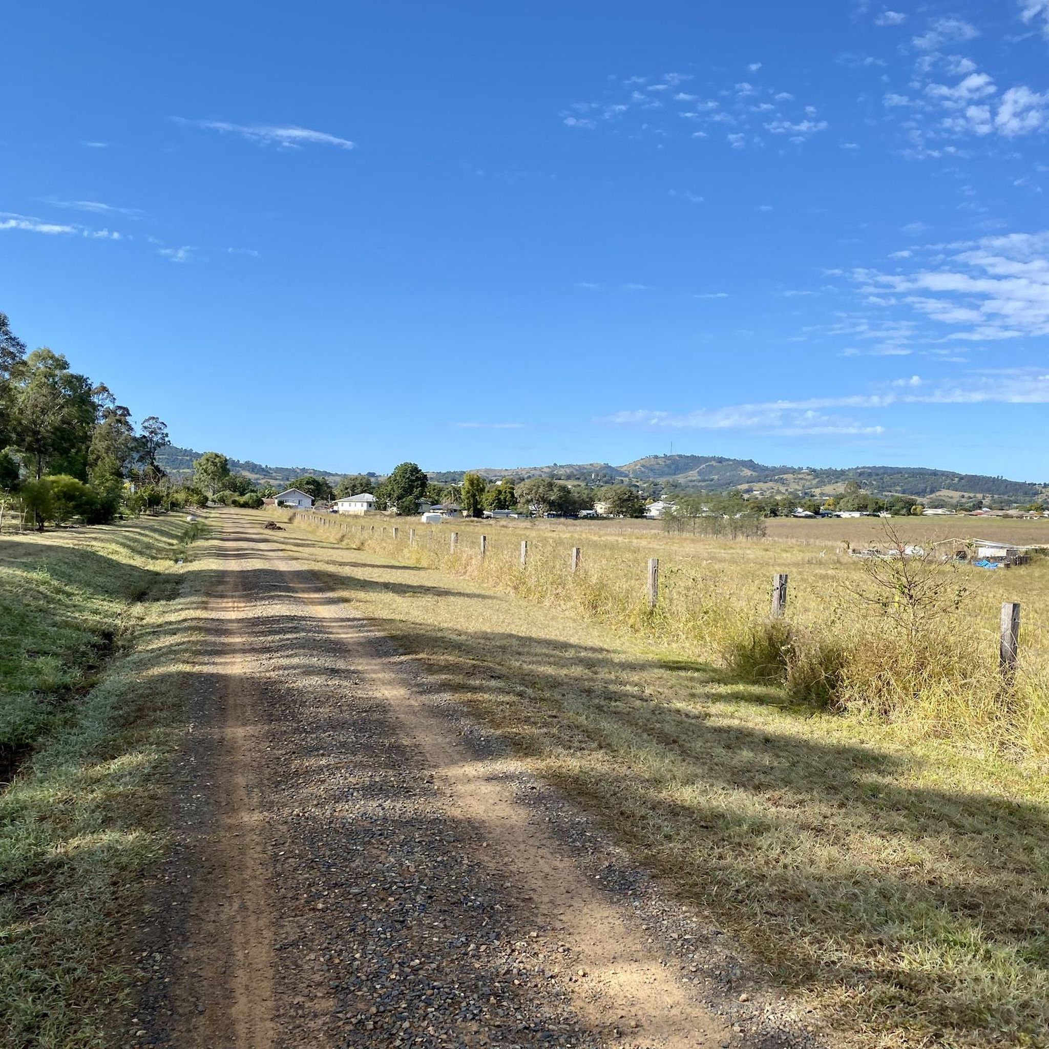
Lanita Court transitions into the most western end of the Lanita Rail Trail at this point. A metal gate restricts vehicles from entering, and there is signage about the conservation area. This trackhead is just the end of a road and not an official parking area. It's best to park at the eastern end of the Lanita Rail Trail at the car park for Wahminda Park.
0
0

The Silky Oaks carpark and picnic area in Mount Coot-tha Reserve is a spacious, open grassy area set among tall trees along Sir Samuel Griffith Drive. Sheltered picnic tables sit near the forest edge, with nearby trail access connecting directly to the Powerful Owl Trail and surrounding tracks. Its easy access and quieter setting make it a convenient place to start a walk or take a break.
0
0
Samford Conservation Park is a beautiful bushland reserve near the rural township of Samford Valley northwest of Brisbane. The park protects eucalypt forest and creek habitats that support native wildlife, including wallabies, koalas, and a variety of bird species, while also preserving part of the area’s natural catchment. There is a network of walking and cycling tracks and fire trails throughout the grounds, where you can explore the park’s ridgelines and gullies, making it an ideal location for quiet nature-based recreation close to the city.
0
0

Enoggera Creek Bikeway is a paved, shared-use path that runs through Brisbane’s northern suburbs, including Windsor, Wilston, Newmarket, and out towards The Gap. The trail is mostly flat and well signposted, making it suitable for beginners, families, and cyclists. It follows Enoggera Creek through a series of parks and playgrounds, with plenty of spots to stop along the way.
0
0
Enoggera Creek flows from the D’Aguilar Range through Brisbane’s northern suburbs, running for about 18 kilometres before becoming Breakfast Creek and joining the Brisbane River. Along the Newmarket section, it appears as a narrow, often shallow waterway, sometimes reduced to still or low-flow sections. After heavy rain, it can rise quickly and overflow into surrounding parkland. The creek is bordered by green corridors and the Enoggera Creek Bikeway.
0
0
Queen Street Mall is Brisbane’s main pedestrian shopping strip, running through the heart of the city centre. The wide, traffic-free walkway is lined with retail arcades, cafés and heritage façades alongside modern towers, giving you a clear sense of the city’s energy and scale. Street performers and public art often add to the atmosphere as you move between the river and the CBD.
0
0
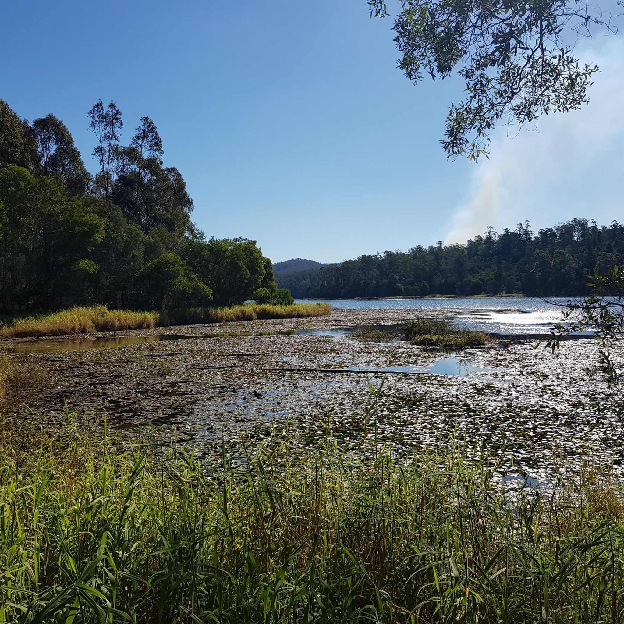
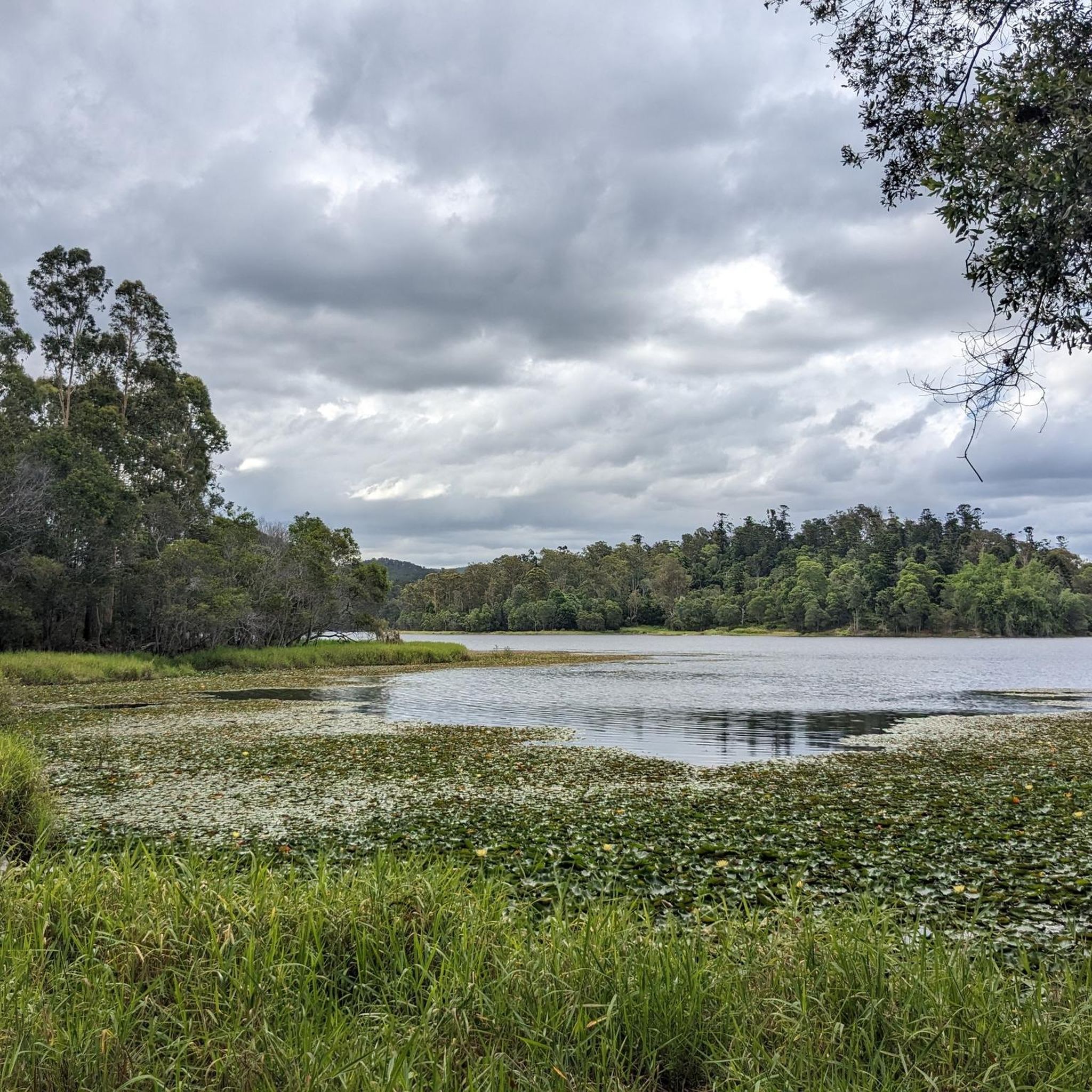
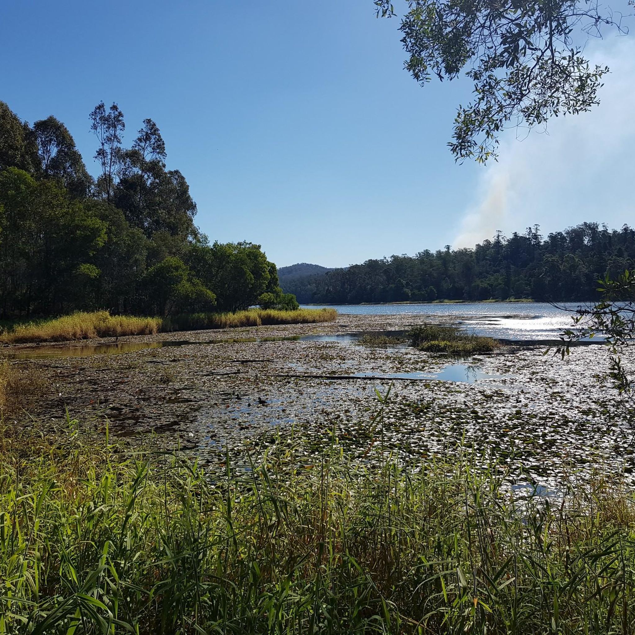
This sandy swimming area at Enoggera Reservoir is a rare inland “beach” experience in Brisbane. A roped enclosure marks the designated swim zone, creating a safer space for cooling off while keeping paddlers and wildlife separate. The beach is open seven days a week, from 5.30 am to 6.30 pm between September and April, and from 6.00 am to 5.30 pm between May and August.
0
0
Frequently Asked Questions
How many touring cycling routes are available in D'Aguilar National Park?
D'Aguilar National Park offers a wide selection of touring cycling routes, with over 80 options available. These routes cater to various skill levels, including 20 easy, 38 moderate, and 24 difficult trails, ensuring there's a ride for every cyclist.
What kind of terrain can I expect on touring cycling routes in D'Aguilar National Park?
The park's touring cycling routes feature incredibly diverse terrain. You'll ride through open eucalypt woodlands, distinctive scribbly gum forests, and lush subtropical rainforests. The D'Aguilar Range also includes remote gorges and mountains, offering varied landscapes and significant elevation changes on some routes.
Are there any family-friendly touring cycling routes in D'Aguilar National Park?
Yes, D'Aguilar National Park has several routes suitable for families, particularly among its 20 easy and 38 moderate options. While specific family-friendly routes are not detailed here, the park's diverse offerings mean you can find paths that are less challenging and more enjoyable for a family outing. Consider routes with less elevation gain and shorter distances.
What are some notable natural features or landmarks to see along the touring cycling routes?
Cyclists can discover several natural features and landmarks. You might encounter refreshing stops like Rocky Hole, known for its rock pools, or the picturesque Greenes Falls, a rainforest waterfall with a lookout. The park also boasts numerous lookouts such as Camp Mountain Lookout, offering stunning panoramic views.
Are there any circular touring cycling routes in D'Aguilar National Park?
Yes, many touring cycling routes in D'Aguilar National Park are designed as loops. For example, the QUT Car Park loop from The Gap is a popular moderate option, and the more challenging Western Window loop from Mount Glorious also provides a circular journey through winding roads and rainforest.
What do other touring cyclists enjoy most about D'Aguilar National Park?
The area is highly rated by the komoot community, with an average score of 4.6 stars from over 180 reviews. Reviewers often praise the park's diverse landscapes, from eucalypt woodlands to subtropical rainforests, and the rewarding panoramic views from various lookouts. The variety of routes catering to different abilities is also frequently highlighted.
Are there facilities like picnic areas or cafes available along the routes?
Yes, D'Aguilar National Park offers several facilities. Day-use areas such as Bellbird Grove and The Gantry are equipped with picnic and barbecue amenities, perfect for a mid-ride stop. The Walkabout Creek Discovery Centre at the park's southern edge also features a visitor center and cafe.
What is the best time of year to go touring cycling in D'Aguilar National Park?
D'Aguilar National Park is generally enjoyable for cycling year-round, but the cooler, drier months from autumn to spring (March to November) are often preferred. During these times, temperatures are more moderate, making for a more comfortable ride through the varied landscapes.
Are there any challenging touring cycling routes for experienced riders?
Absolutely. D'Aguilar National Park features 24 difficult touring cycling routes for experienced riders seeking a challenge. An example is the Bike loop from Upper Kedron, a 53.5 km trail with significant elevation changes, often taking nearly 5 hours to complete.
What kind of views can I expect on the touring cycling routes?
The routes offer breathtaking views, especially from elevated sections. You can expect expansive panoramic vistas that stretch across Moreton Bay and even to the distant Glass House Mountains. Lookouts like Jolly's Lookout and Wivenhoe Lookout are prime spots for these scenic appreciations.
Is it possible to access D'Aguilar National Park by public transport for cycling?
While D'Aguilar National Park is conveniently located within an hour and a half's drive from Brisbane, direct public transport options to many trailheads are limited. It's advisable to check local transport schedules and consider options that allow for bike transport or plan for vehicle access to reach your starting point.
Are there any moderate touring cycling routes that offer a good balance of distance and challenge?
Yes, D'Aguilar National Park has 38 moderate touring cycling routes. A good example is the Goodwill Bridge – Kurilpa Bridge loop from ABC Brisbane, which covers 31.6 km and takes about 2 hours to complete, offering varied terrain without extreme difficulty.
Most popular routes in D'Aguilar National Park
Most popular attractions in D'Aguilar National Park

Get inspired with the komoot mobile app


Explore more
Browse the best Cycling routes in other regions.
