The best running trails in Otavalo
5.0
(3)
227
runners
7
runs
Jogging in Otavalo, situated in the Andean highlands of Ecuador, provides diverse terrain for runners. The region is characterized by its elevation of 2,565 meters (8,415 feet), featuring rolling hills, volcanoes, and crater lakes. This landscape offers a variety of paths and trails suitable for different running preferences. The area is part of the Imbabura Province, a UNESCO Global Geopark, known for its natural features.
Best jogging routes in Otavalo
- The most popular jogging route is Cuicocha Lake loop from…
Last updated: July 12, 2026
5.0
(1)
101
runners
12.2km
01:49
540m
530m
Hard run. Very good fitness required. Mostly paved surfaces. Suitable for all skill levels.
5.0
(2)
65
runners
14.9km
02:04
670m
670m
Hard run. Very good fitness required. Mostly paved surfaces. Suitable for all skill levels.

Sign up for free
24
runners
8.19km
01:10
370m
370m
Hard run. Very good fitness required. Mostly paved surfaces. Suitable for all skill levels.
8
runners
7.14km
01:08
420m
420m
Hard run. Very good fitness required. Mostly paved surfaces. Suitable for all skill levels.
3
runners
7.68km
00:48
40m
40m
Moderate run. Good fitness required. Mostly paved surfaces. Suitable for all skill levels.
Get access to more routes and recommendations from other explorers.
Sign up for free
Already have an account?
Our route recommendations are based on thousands of hikes, rides, and runs completed by other people on komoot.
Start today with a free account
Your next adventure awaits.
Login or Signup
Popular around Otavalo
Tips from the Community

The town of Otavalo is located at 2,532 meters above sea level. It offers many services and is perfect for a few days' break. Worth visiting is the Mercado Municipal 24 de Mayo which offers a wide choice of fresh local products and, above all, a food court in which to refresh yourself!
2
0

Frequently Asked Questions
How many running routes are available in Otavalo?
Otavalo offers a variety of running routes, with over 7 documented trails on komoot. These routes cater to different preferences, ranging from moderate paths to more challenging ascents through the Andean highlands.
Are there running routes for all fitness levels in Otavalo?
Yes, Otavalo's diverse terrain provides options for various abilities. While many routes are challenging due to the Andean elevation, there is at least one moderate route, such as the Running loop from Araque, which covers 7.6 km with minimal elevation gain. More difficult options include the popular Cuicocha Lake loop from Parqueadero Laguna Cuicocha.
What kind of natural features can I expect to see on Otavalo's jogging trails?
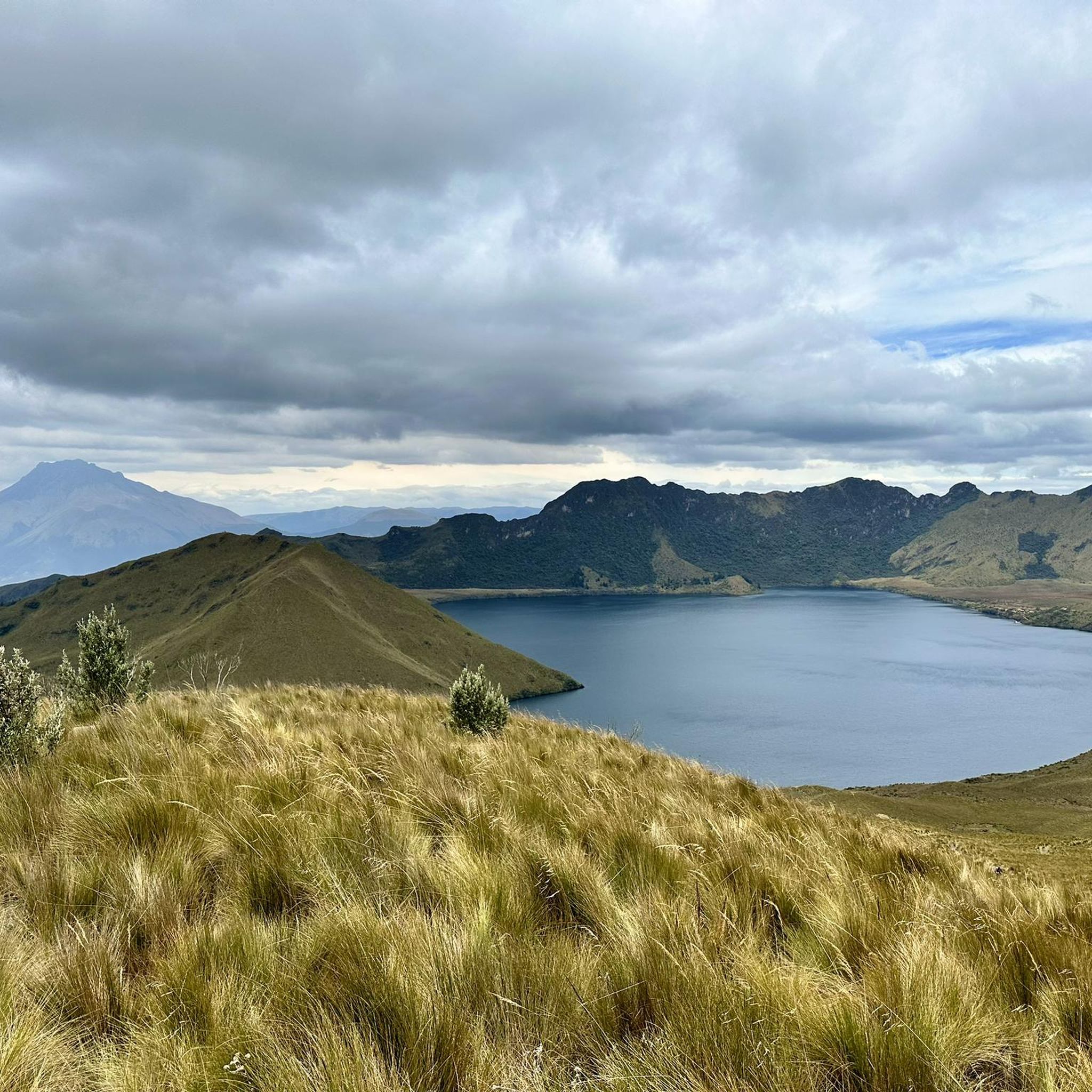
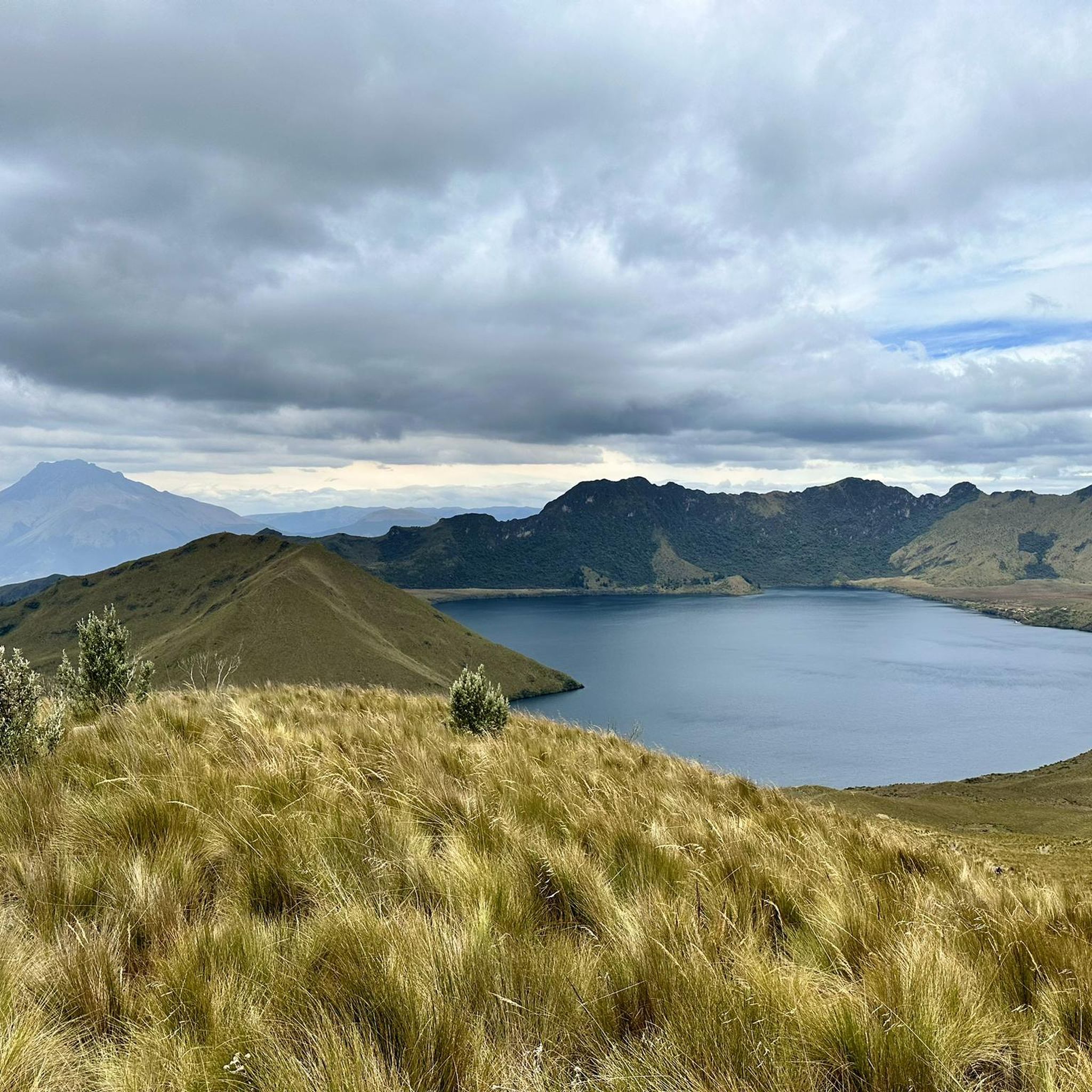
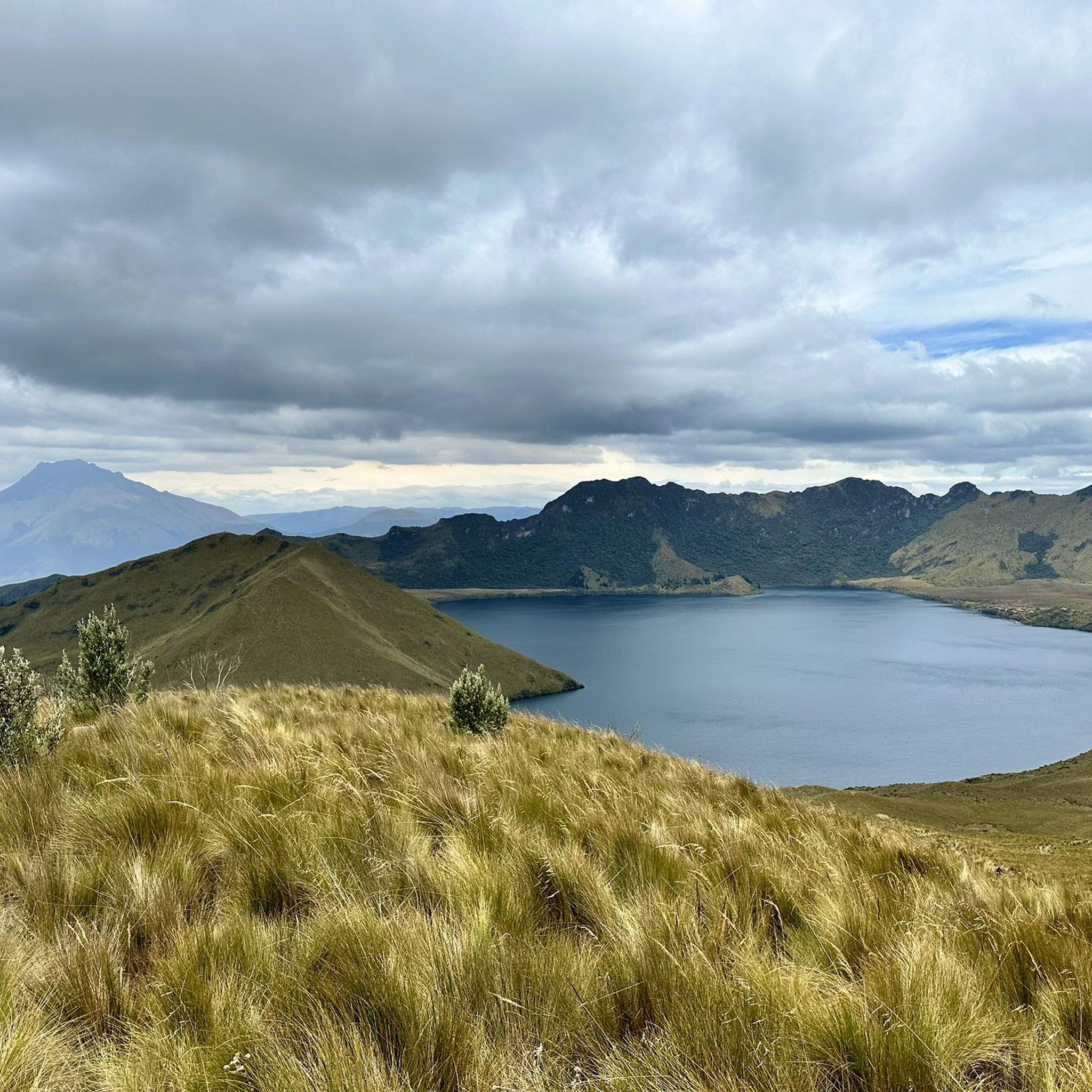
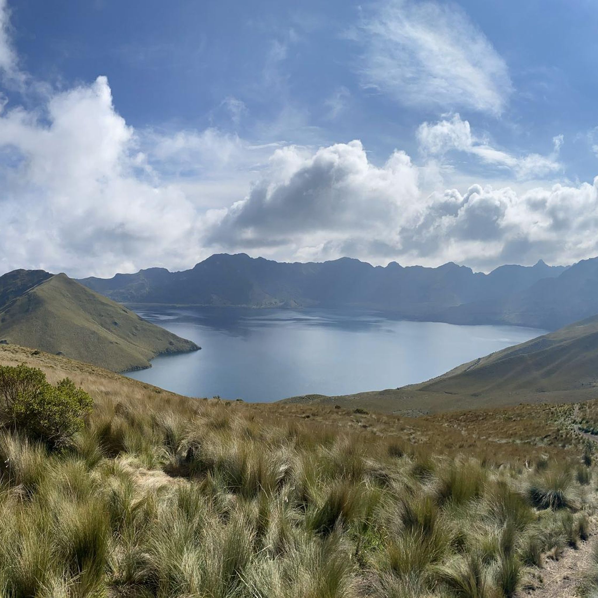
Jogging in Otavalo offers stunning natural scenery, including volcanic landscapes, crater lakes, and rolling Andean hills. You can experience the majestic Peguche Waterfall, the serene Laguna Grande de Mojanda, or the impressive Cuicocha Lake, a caldera lake formed by a volcanic eruption.
Are there any circular running routes in Otavalo?
Yes, Otavalo features several excellent circular running routes. A popular choice is the Cuicocha Lake loop from Parqueadero Laguna Cuicocha, which encircles the entire caldera lake. Another option is the Cascada de Peguche loop from Otavalo, offering a scenic run around the waterfall area.
What are some notable landmarks or viewpoints along the running trails?
Many running trails in Otavalo offer access to significant landmarks and breathtaking viewpoints. The Cascada de Peguche – El Lechero loop from Otavalo takes you past the culturally significant Peguche Waterfall and the historic El Lechero Sacred Tree and Viewpoint. The Mojanda Lakes area also boasts a Scenic viewpoint Lagunas de Mojanda.
What is the best time of year for jogging in Otavalo?
Otavalo, situated in the Andean highlands, enjoys a cool and pleasant climate year-round, making it suitable for jogging in any season. The consistent temperatures are ideal for physical activities, though it's always wise to check local weather forecasts before heading out.
Are there any long-distance running options for experienced trail runners?
For experienced trail runners seeking a challenge, the region offers demanding high-altitude routes. The full loop around Cuicocha Lake, for instance, is a 12.2 km difficult trail. More adventurous runners can also consider treks up Fuya Fuya Volcano or Imbabura Volcano, which provide strenuous climbs and panoramic views, though these are often considered more hiking than jogging due to their steepness and altitude.
How long do running routes in Otavalo typically take to complete?
The duration of running routes in Otavalo varies significantly based on distance and difficulty. For example, the Cascada de Peguche loop from Otavalo, an 8.2 km difficult trail, typically takes about 1 hour 9 minutes. Longer routes like the Cuicocha Lake loop from Parqueadero Laguna Cuicocha (12.2 km) can take around 1 hour 49 minutes.
What do other runners say about the trails in Otavalo?
The running routes in Otavalo are highly rated by the komoot community, with an average score of 5.0 stars. Over 200 runners have used komoot to explore the varied terrain, often praising the stunning natural beauty and the diverse challenges offered by the Andean landscapes.
Is public transport available to reach popular running areas like Cuicocha Lake or Peguche Waterfall?
Yes, public transport options are available. For Peguche Waterfall, it's about a 30-45 minute walk from Otavalo town center, or you can take a local bus or taxi. For Cuicocha Lake, buses and taxis regularly travel from Otavalo to the lake's entrance, making it accessible for runners.
Are there any easy jogging routes suitable for beginners in Otavalo?
While many routes in Otavalo are rated as difficult due to the elevation and terrain, beginners can find less strenuous options. The Running loop from Araque is a moderate 7.6 km route with minimal elevation change, making it a good starting point. Additionally, the general Andean landscape offers numerous paths and trails, some of which are less challenging than the main volcanic ascents.
Can I find parking near the trailheads for jogging routes?
Yes, parking is generally available at popular trailheads. For instance, the Cuicocha Lake loop starts from Parqueadero Laguna Cuicocha, indicating dedicated parking facilities. Similarly, areas around Peguche Waterfall and Mojanda Lakes have parking options, though it's advisable to check specific access points.
Most popular routes in Otavalo
Most popular attractions in Otavalo

Get inspired with the komoot mobile app


Explore more
Browse the best Running Trails & Routes in other regions.
