The best walks and hikes in Otavalo
4.7
(140)
953
hikers
19
hikes
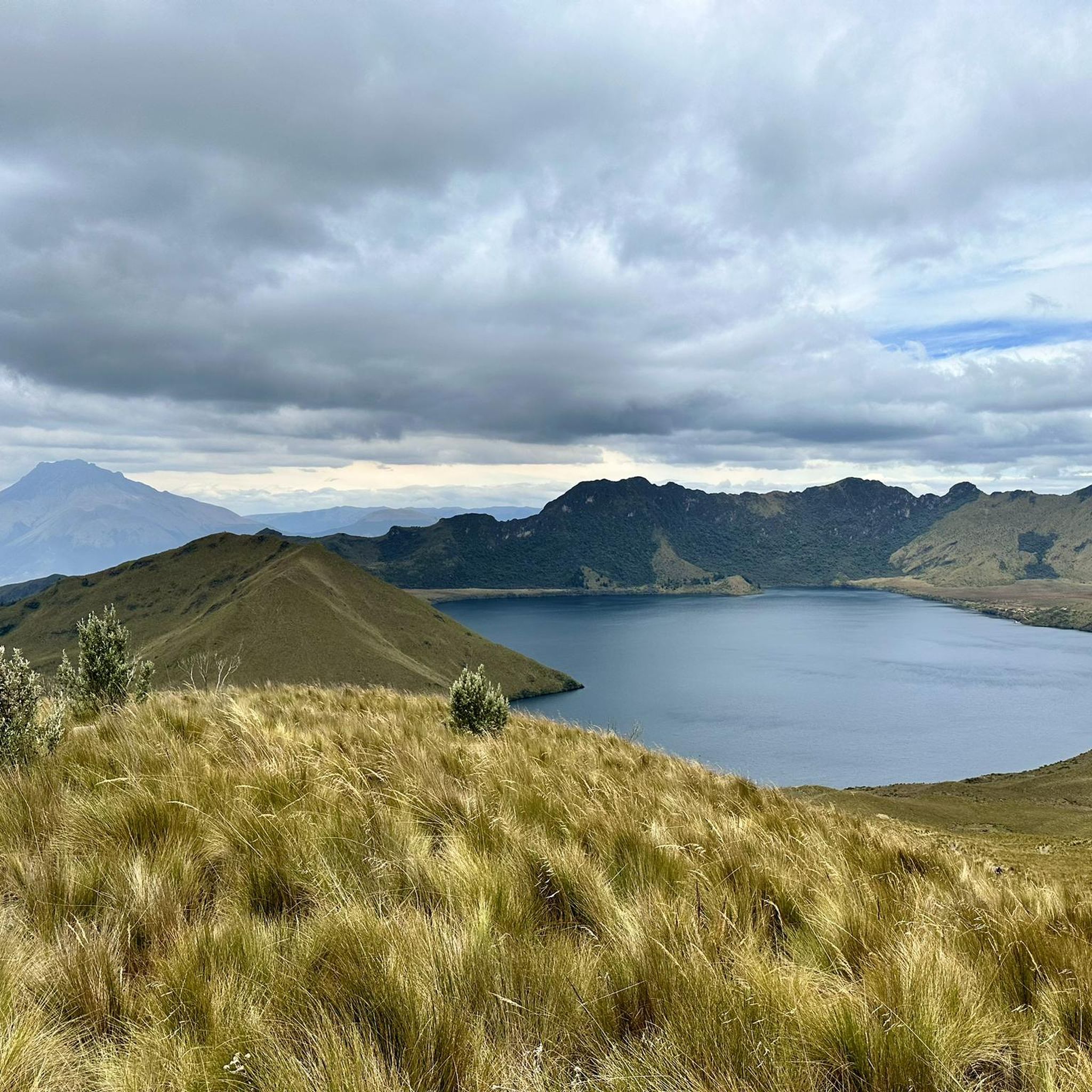
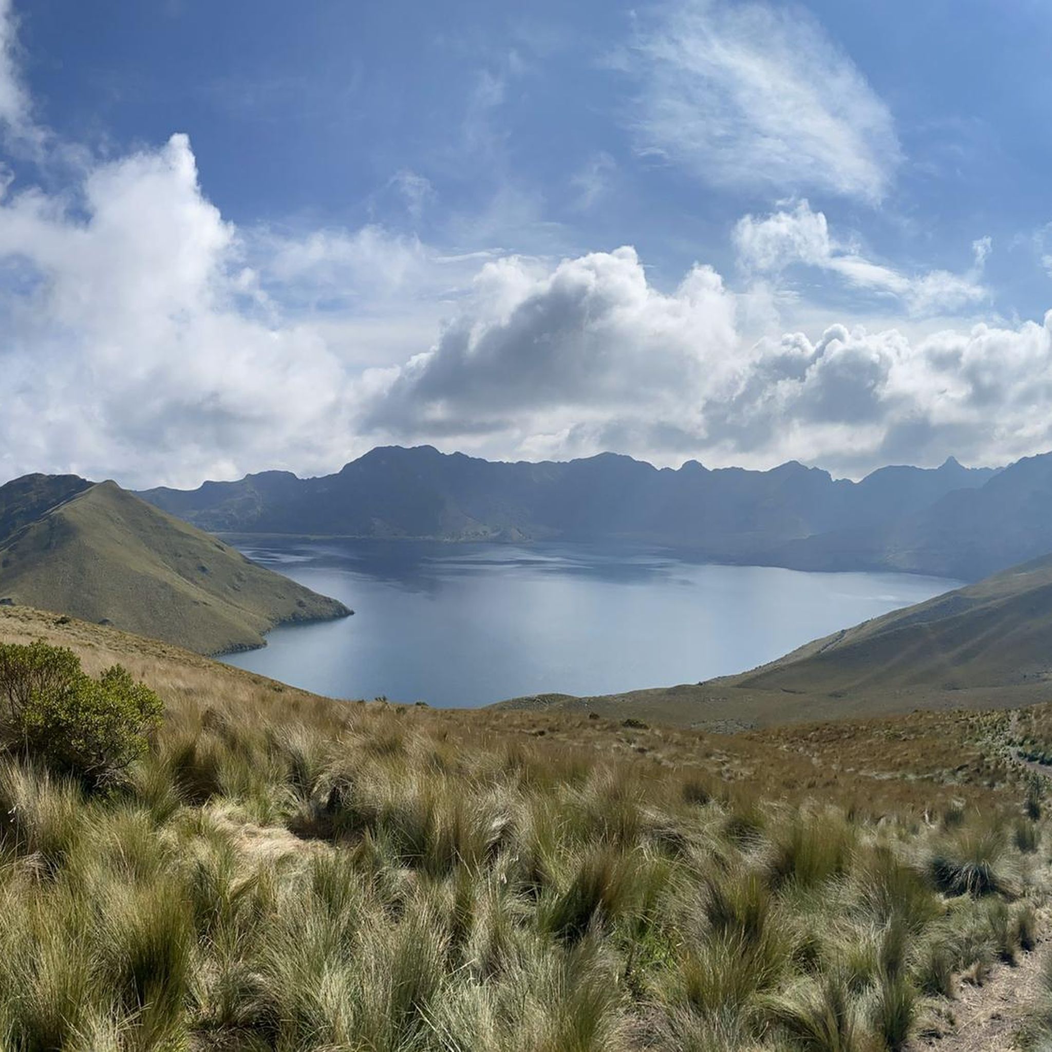
Hiking in Otavalo offers diverse terrain within the Andean highlands of Ecuador, characterized by volcanic landscapes and crater lakes. The region features majestic volcanoes like Fuya Fuya and Imbabura, alongside stunning caldera lakes such as Cuicocha and Mojanda. Numerous trails lead through lush forests to significant natural features like the Peguche Waterfall, providing varied experiences for hikers.
Best hiking trails in Otavalo
- The most popular hiking route is Fuja Fuja Peak – Fuya Fuya loop from Mojanda Lakes, a 2.2 miles (3.6 km) trail that takes 1 hour 55 minutes to complete, offering panoramic views of the Mojanda Lakes.
- Another top favourite among local hikers is Natural Swimming Pool – Peguche Waterfall loop from Otavalo, an easy 4.2 miles (6.8 km) path. This route leads through a eucalyptus forest to the culturally significant Peguche Waterfall.
- Local hikers also love the Peguche Waterfall – Natural Swimming Pool loop from Otavalo, a 5.8 miles (9.4 km) trail leading through forested areas and past the waterfall, often completed in about 2 hours 52 minutes.
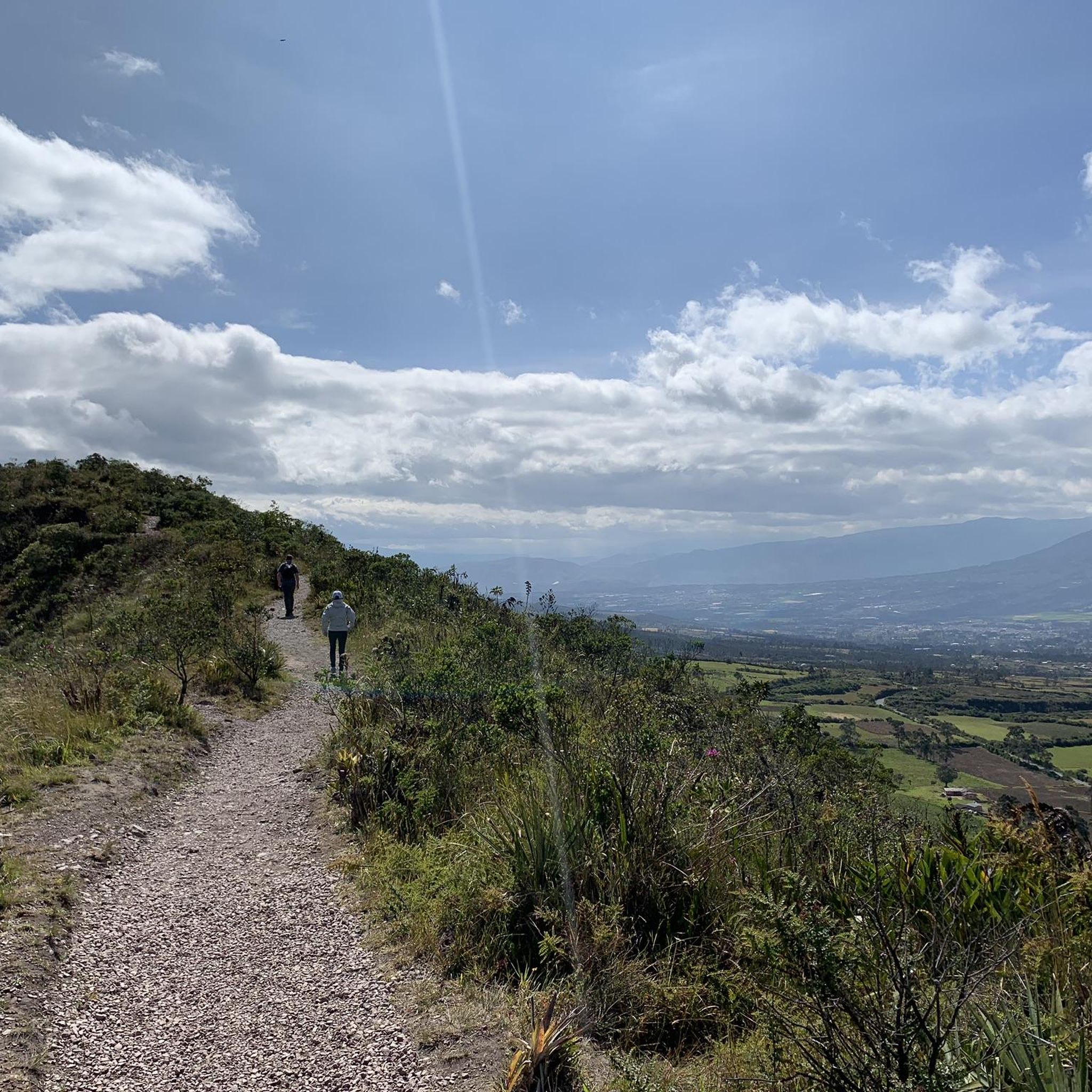
- Hiking in Otavalo is defined by volcanic peaks, serene crater lakes, and impressive waterfalls, with options ranging from easy walks to challenging ascents. The network offers routes for various ability levels, from beginner-friendly paths to difficult mountain trails.
- The routes in Otavalo are highly rated by the komoot community with an average score of 4.8 stars from over 100 reviews. More than 800 hikers have used komoot to explore Otavalo's varied terrain.
Last updated: July 11, 2026
4.8
(6)
79
hikers
3.64km
01:56
460m
460m
Moderate hike. Good fitness required. Easily-accessible paths. Suitable for all skill levels.
4.0
(4)
34
hikers
6.82km
01:57
140m
140m
Easy hike. Great for any fitness level. Easily-accessible paths. Suitable for all skill levels.

Sign up for free
4.3
(3)
11
hikers
9.67km
02:56
310m
310m
Moderate hike. Good fitness required. Easily-accessible paths. Suitable for all skill levels.
4.7
(3)
15
hikers
12.4km
03:40
330m
330m
Moderate hike. Good fitness required. Easily-accessible paths. Suitable for all skill levels.
12
hikers
5.42km
02:32
480m
480m
Hard hike. Good fitness required. Sure-footedness, sturdy shoes and alpine experience required.
Get access to more routes and recommendations from other explorers.
Sign up for free
Already have an account?
Our route recommendations are based on thousands of hikes, rides, and runs completed by other people on komoot.
Start today with a free account
Your next adventure awaits.
Login or Signup
Tips from the Community

Look for a sacred place with beautifully landscaped hiking trails. At the top you can crawl through narrow caves and discover other smaller waterfalls. Entrance fees are required.
2
0
Behind the figures at the parking lot there is a sales area of the local indigenous people, where you can also have a drink.
2
0
These are new sculptures that probably belong to the local soccer field and playground across the street. A bench invites you to rest.
2
0
El Lechero is a viewpoint whose tree at the top of the hill is considered sacred. Although unknown to many people, this tranquil spot offers beautiful views of the surrounding area. Located in Otavalo, Ecuador near Condor Park. El Lechero, Otavalo's sacred tree, is part of local mythology and is believed to house the soul of a cursed lover who fell in love with a boy from a rival family. And then it was transformed into nearby Lake San Pablo. From the El Lechero viewpoint you can see Lake San Pablo, the Fuya Fuya Mountains, the Cotacachi Volcanoes, Imbabura and a great view of the city of Otavalo. The place where the tree stands is considered a sacred place with healing powers by local people. There are indigenous Otavaleños who perform many purification rituals and spiritual ceremonies. El Lechero is a place open to the public, where you can not only take beautiful photos, but also have picnics. To get there, you'll have to walk a steep 5km or so from Otavalo or hire a taxi for around $4 each way. There is no transport at the top. Ask the driver to wait if he doesn't want to go back. Source: https://www.planetandes.com/es/ecuador/andes/imbabura/otavalo/el-lechero-arbol-sagrado-otavalo/
2
0
Lake San Pablo or Imbacocha, Spanish Lago San Pablo, Kichwa: Impakucha ("Lake of the Andean Climbing Catfish": impa "Andean Climbing Catfish", kucha "lake") is located in the province of Imbabura in northern Ecuador, at 2,660 m above sea level, below the Imbabura volcano, has a water surface of about 1.8 km² and is of volcanic origin. Source: https://de.wikipedia.org/wiki/Lago_San_Pablo You can take boats across the lake. There are a few stalls at the departure point.
0
0

Park Linear or Park of the Dinosaurs.
0
0
Guitar and German shepherd can be found among other things in the figures.
0
0
Frequently Asked Questions
How many hiking trails are available in Otavalo?
Otavalo offers a diverse network of over 19 hiking trails. These routes vary in length and difficulty, providing options for different experience levels, from easy walks to challenging mountain ascents.
What are the typical difficulty levels for hiking in Otavalo?
Hiking trails in Otavalo range from easy to difficult. You'll find 3 easy routes, 11 moderate routes, and 5 difficult routes. For instance, the Natural Swimming Pool – Peguche Waterfall loop from Otavalo is an easy option, while the Fuya Fuya – Laguna Grande de Mojanda loop from camping is considered difficult.
Are there any hikes that feature waterfalls in Otavalo?
Yes, Otavalo is home to impressive waterfalls. The culturally significant Peguche Waterfall is a popular destination, accessible via routes like the Peguche Waterfall – Natural Swimming Pool loop from Otavalo. This trail leads through a lush eucalyptus forest to the falls.
Can I hike around the famous crater lakes near Otavalo?
Absolutely. Otavalo is surrounded by stunning crater lakes. Cuicocha Lake offers a popular 14 km (9-mile) trail around its rim. The Mojanda Lakes, including Laguna Grande de Mojanda, also provide numerous hiking opportunities amidst rolling hills, often starting above 3,000 meters.
Are there challenging volcano ascents for experienced hikers?
Yes, for experienced hikers seeking a challenge, the region offers ascents of majestic volcanoes. Fuya Fuya, part of the Mojanda Lakes area, provides a moderate to hard hike with significant elevation gain and panoramic views. The Imbabura Volcano, known as "Taita Imbabura," also offers a demanding climb to its summit.
Are there family-friendly hiking options in Otavalo?
Yes, there are several family-friendly options. The walk to Peguche Waterfall is a short, scenic, and well-maintained trail suitable for families. The area around San Pablo Lake also offers easier trails and opportunities for boat rides and birdwatching.
What is the best time of year to go hiking in Otavalo?
Otavalo's climate is generally mild year-round due to its equatorial location and high altitude. However, the dry season (typically June to September) often offers clearer skies and less rain, making it ideal for hiking. The rainy season (October to May) can bring afternoon showers, but mornings are often still pleasant for outdoor activities.
How can I reach the trailheads, and is parking available?
Many trailheads, especially those further from Otavalo like the Mojanda Lakes or Cuicocha, are best reached by private vehicle or taxi. Parking availability varies; for popular spots like the Mojanda Lakes, there are often designated areas. For trails closer to town, such as those leading to Peguche Waterfall, public transport (local buses) is also an option.
Are permits or entrance fees required for hiking in Otavalo?
While many trails in the general Otavalo area do not require specific hiking permits, some protected areas or attractions may have entrance fees. For example, there might be a small fee to enter the Cuicocha Lake area or the Peguche Waterfall site. It's advisable to check local regulations for specific destinations before your visit.
What natural landmarks or attractions can I see while hiking in Otavalo?
Beyond the trails themselves, Otavalo's hiking routes often lead to or pass by significant natural landmarks. You can explore the volcanic landscapes surrounding Cuicocha Lagoon, the serene Laguna Grande de Mojanda, and the impressive Peguche Waterfall. The region is also dominated by majestic volcanoes like Imbabura and Cotacachi, offering stunning backdrops.
What do other hikers enjoy most about the trails in Otavalo?
The trails in Otavalo are highly rated by the komoot community, with an average score of 4.8 stars from over 100 reviews. Hikers often praise the breathtaking volcanic landscapes, the beauty of the crater lakes, and the cultural significance of sites like the Peguche Waterfall. The diverse terrain, offering both challenging ascents and peaceful walks, is also frequently highlighted.
Are there circular hiking routes available in Otavalo?
Yes, many of the popular routes in Otavalo are circular, allowing you to experience varied scenery without retracing your steps. Examples include the Fuja Fuja Peak – Fuya Fuya loop from Mojanda Lakes and the Plaza de los Ponchos Market – Peguche Waterfall loop from Otavalo, which combines natural beauty with a cultural starting point.
Most popular routes in Otavalo
Most popular attractions in Otavalo

Get inspired with the komoot mobile app


Explore more
Browse the best Hikes in other regions.
