The best cycling routes in Otavalo
4.8
(5)
47
riders
7
rides
Touring cycling in Otavalo offers routes through Ecuador's Andean highlands, characterized by diverse volcanic landscapes and high-altitude lakes. The region features a mix of paved and unpaved roads, winding through forests, natural reserves, and rural Andean terrain. Cyclists can expect views of surrounding volcanoes and mountainous villages, with routes often passing through paramo grasslands. The area provides a varied backdrop for touring cycling, from moderate loops to more challenging ascents.
Best touring cycling routes in Otavalo
- The most popular touring…
Last updated: July 11, 2026
5.0
(3)
21
riders
66.3km
04:58
1,160m
1,160m
Hard bike ride. Very good fitness required. Mostly paved surfaces. Suitable for all skill levels.
9
riders
110km
07:23
1,690m
1,690m
Hard bike ride. Very good fitness required. Mostly paved surfaces. Suitable for all skill levels.

Sign up for free
4.5
(2)
10
riders
29.4km
01:58
360m
360m
Moderate bike ride. Good fitness required. Mostly paved surfaces. Suitable for all skill levels.
1
riders
18.5km
01:17
260m
260m
Moderate bike ride. Good fitness required. Mostly paved surfaces. Suitable for all skill levels.
2
riders
68.5km
04:40
1,030m
1,030m
Hard bike ride. Very good fitness required. Mostly paved surfaces. Suitable for all skill levels.
Get access to more routes and recommendations from other explorers.
Sign up for free
Already have an account?
Our route recommendations are based on thousands of hikes, rides, and runs completed by other people on komoot.
Start today with a free account
Your next adventure awaits.
Login or Signup
Tips from the Community


If you want to mix kilometers and tranquility, this route is excellent.
0
0


The town of Otavalo is located at 2,532 meters above sea level. It offers many services and is perfect for a few days' break. Worth visiting is the Mercado Municipal 24 de Mayo which offers a wide choice of fresh local products and, above all, a food court in which to refresh yourself!
2
0
This stretch of asphalt road connects Conaqui with Imantag. The road is quiet and passes through cultivated fields and hills. A very picturesque panorama.
0
0

Frequently Asked Questions
How many touring cycling routes are available in Otavalo?
Otavalo offers a selection of touring cycling routes, with over 7 routes documented on komoot. These routes cater to various skill levels, ranging from moderate to difficult, allowing cyclists to explore the diverse Andean landscapes.
What kind of terrain can I expect on touring cycling routes in Otavalo?
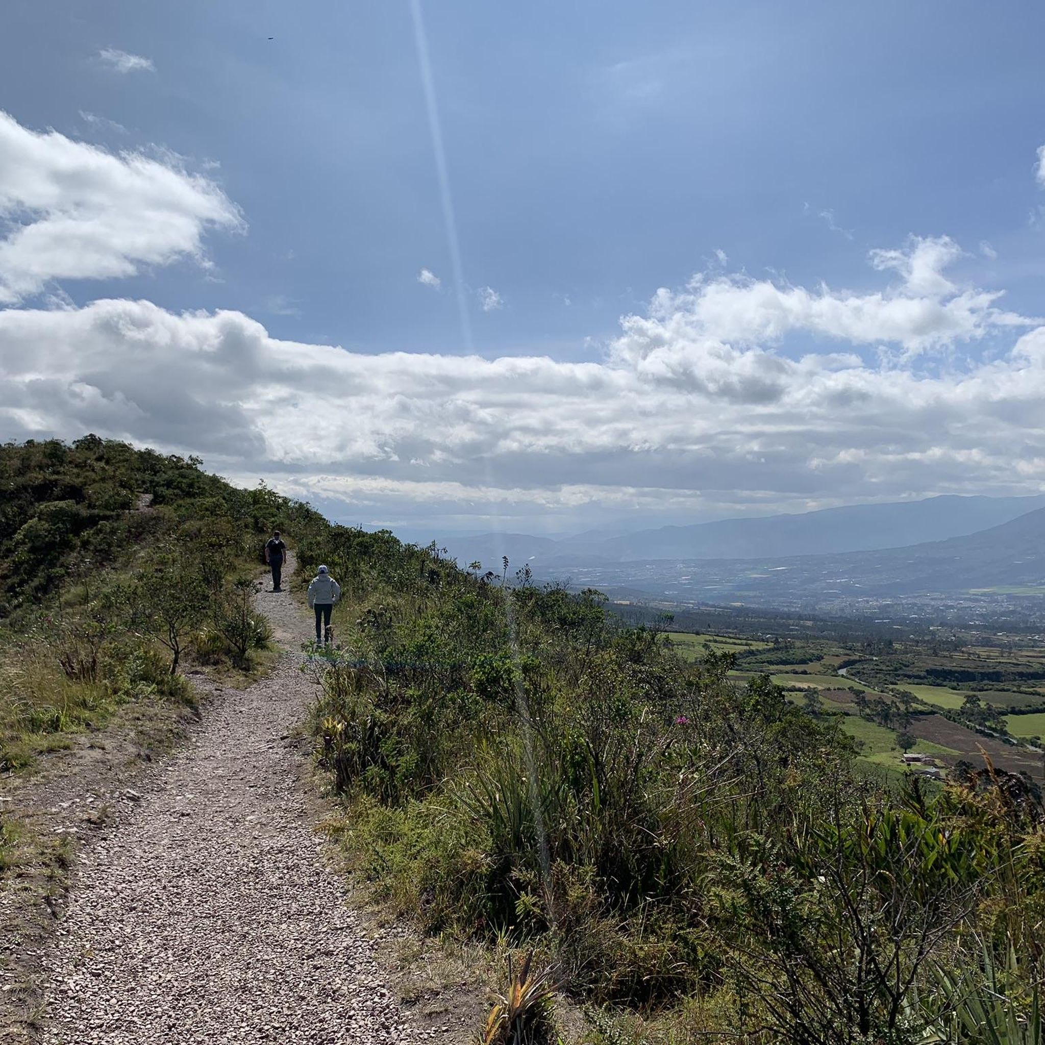
Touring cyclists in Otavalo will encounter a mix of dirt and paved roads. Routes wind through forests, natural reserves, and rural Andean landscapes, often providing impressive views of surrounding volcanoes and mountainous villages. You can expect to cycle through paramo grasslands and past high-altitude lakes.
Are there touring cycling routes suitable for beginners in Otavalo?
While many routes are challenging, there are moderate options available. For example, the Otavalo Town Center loop from Otavalo is a moderate 17.1-mile (27.6 km) trail that takes about 1 hour 51 minutes, leading through the immediate surroundings of the town. Another moderate option is the Otavalo Town Center loop from Parque Jacinto Collahuazo, which is 18.5 km long.
Are there challenging touring cycling routes for experienced cyclists in Otavalo?
Yes, Otavalo offers several difficult routes for experienced touring cyclists. The Zuleta – Santa Marianita de San Antonio loop from Ibarra is a demanding 39.6-mile (63.7 km) trail with significant elevation gain, offering extensive views of the Andean landscape. Another challenging option is the Road to Imantag – Otavalo Town Center loop from Ibarra, covering 68.5 km.
Can I visit any lakes while touring cycling in Otavalo?
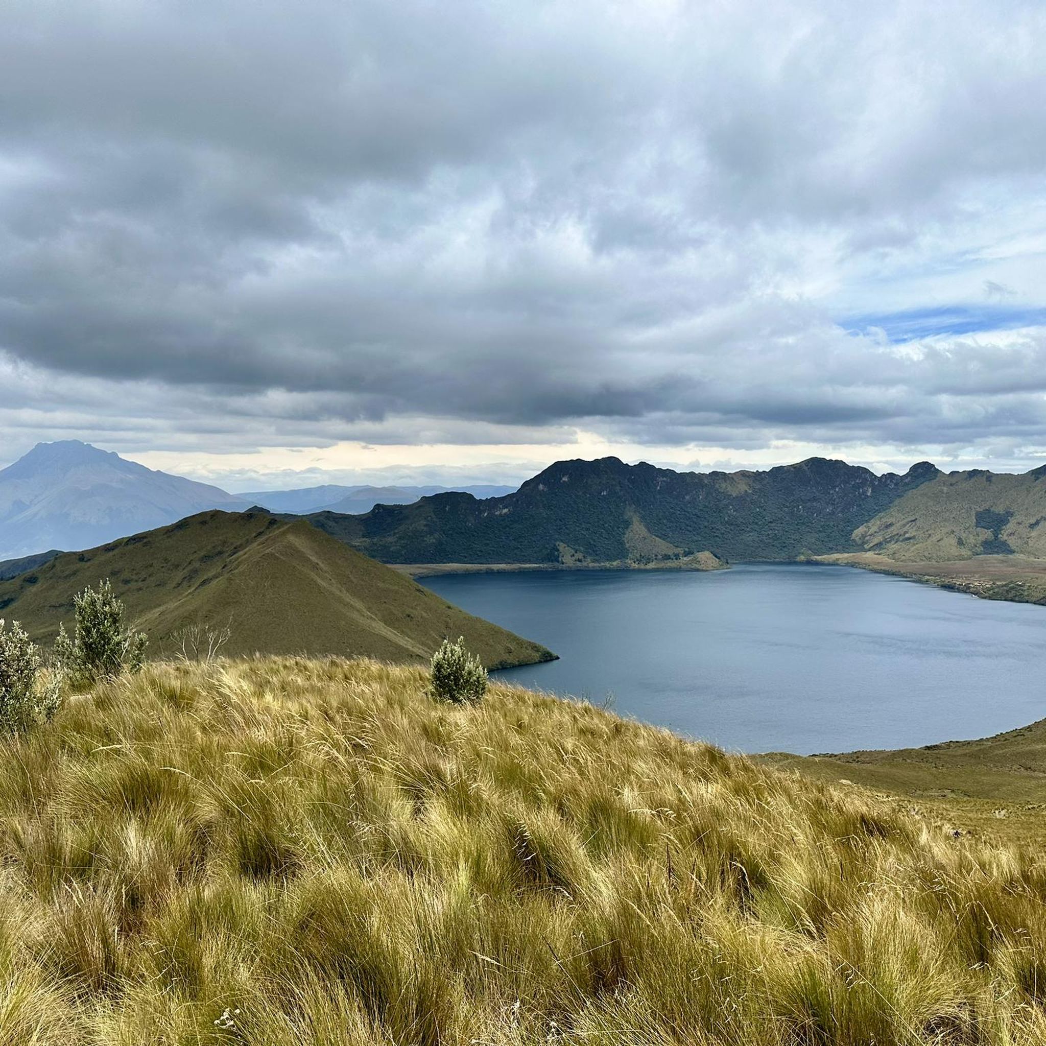
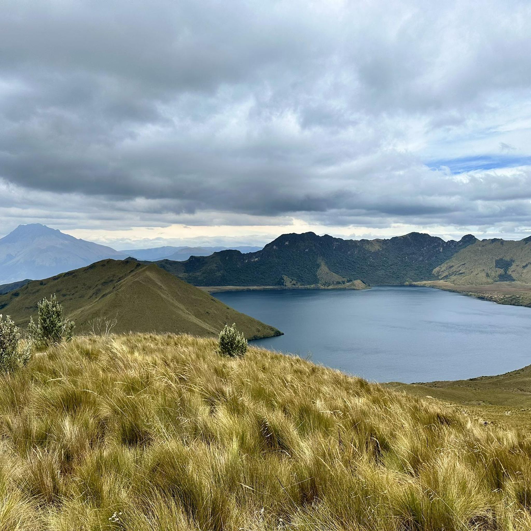
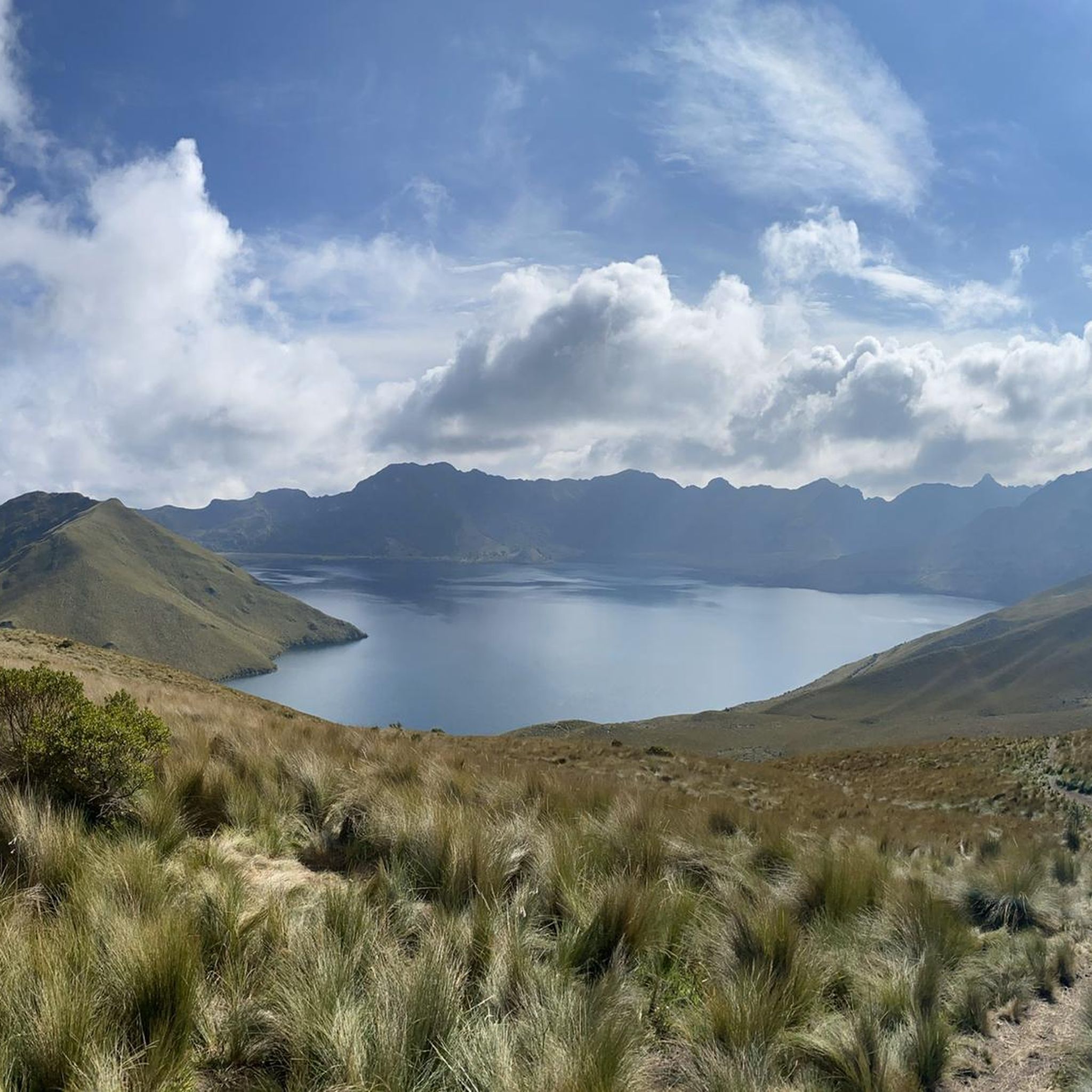
Absolutely. The region is known for its stunning high-altitude lakes. You can cycle near or to destinations like Laguna Grande de Mojanda, part of a complex of three lakes within an extinct volcanic caldera, or the picturesque San Pablo Lake, located at the foot of Imbabura Volcano.
Are there any waterfalls accessible by touring bike in Otavalo?
Yes, the sacred Peguche Waterfall is a notable natural attraction near Otavalo. While the immediate area around the falls might require a short walk, many cycling routes pass close enough for a visit, allowing you to experience this 30-meter high waterfall surrounded by lush eucalyptus trees.
What natural attractions can I see along touring cycling routes in Otavalo?
Beyond the lakes and waterfalls, touring cycling routes in Otavalo offer views of diverse volcanic landscapes and paramo grasslands. You might encounter highlights such as the Cuicocha Lagoon Loop Trailhead, which provides access to the breathtaking volcanic crater lake, or scenic viewpoints like Scenic viewpoint Lagunas de Mojanda, offering panoramic vistas of the high-altitude lakes.
Are there any circular touring cycling routes in Otavalo?
Yes, many touring cycling routes in Otavalo are designed as loops, allowing you to start and end in the same location. Examples include the Zuleta – Otavalo Town Center loop from Ibarra, a difficult 67.6-mile (108.7 km) path traversing varied terrain, and the moderate Otavalo Town Center loop from Otavalo.
What do other touring cyclists say about the routes in Otavalo?
The touring cycling routes in Otavalo are highly rated by the komoot community, with an average score of 4.75 stars from over 5 reviews. Cyclists often praise the stunning volcanic landscapes, the diverse mix of paved and unpaved roads, and the opportunities to immerse themselves in the rich Andean culture and natural beauty.
What is the best time of year for touring cycling in Otavalo?
Otavalo's climate is generally mild year-round due to its Andean highland location. However, the dry season, typically from June to September, offers more consistent sunny weather and clearer views, making it ideal for touring cycling. The shoulder seasons (April-May and October-November) can also be good, though with a higher chance of rain.
Are there family-friendly touring cycling options in Otavalo?
While many routes involve significant elevation changes and distances, some of the shorter, moderate loops around the town center or along flatter sections near San Pablo Lake could be suitable for families with older children or those accustomed to cycling. Always check the route's difficulty and elevation profile to ensure it matches your family's capabilities.
Is it possible to reach touring cycling routes in Otavalo using public transport?
Otavalo is well-connected by public transport, primarily buses, from major cities like Quito. Once in Otavalo, local buses or taxis can help you reach various starting points for routes. For routes starting further afield, like those from Ibarra, inter-city buses are a common and affordable option, though transporting bikes might require specific arrangements or a bike-friendly taxi.
Most popular routes in Otavalo
Most popular attractions in Otavalo

Get inspired with the komoot mobile app


Explore more
Browse the best Cycling routes in other regions.
