The best road cycling routes in Otavalo
4.5
(4)
98
riders
6
rides
Road cycling in Otavalo offers routes through the Andean landscapes of Ecuador, characterized by volcanic terrain and significant elevation changes. The region features impressive mountains, including views of Imbabura Volcano, and high-altitude lakes such as Lago San Pablo. Cyclists navigate through lush valleys and varied vegetation zones, with routes often passing through agricultural hills. The network provides diverse terrain for road cycling.
Best road cycling routes in Otavalo
- The most popular road cycling route is Highway to Ibarra and Alamor…
Last updated: July 11, 2026
4.5
(4)
63
riders
101km
05:40
1,980m
1,970m
Hard road ride. Very good fitness required. Mostly well-paved surfaces and easy to ride.
16
riders
58.8km
03:39
1,330m
1,330m
Hard road ride. Very good fitness required. Some segments of this route may be unpaved and difficult to ride.

Sign up for free
6
riders
25.9km
01:25
370m
370m
Moderate road ride. Good fitness required. Mostly well-paved surfaces and easy to ride.
5
riders
22.2km
01:13
350m
350m
Moderate road ride. Good fitness required. Mostly well-paved surfaces and easy to ride.
5
riders
72.8km
03:53
1,030m
1,030m
Hard road ride. Very good fitness required. Some segments of this route may be unpaved and difficult to ride.
Our route recommendations are based on thousands of hikes, rides, and runs completed by other people on komoot.
Start today with a free account
Your next adventure awaits.
Login or Signup
Popular around Otavalo
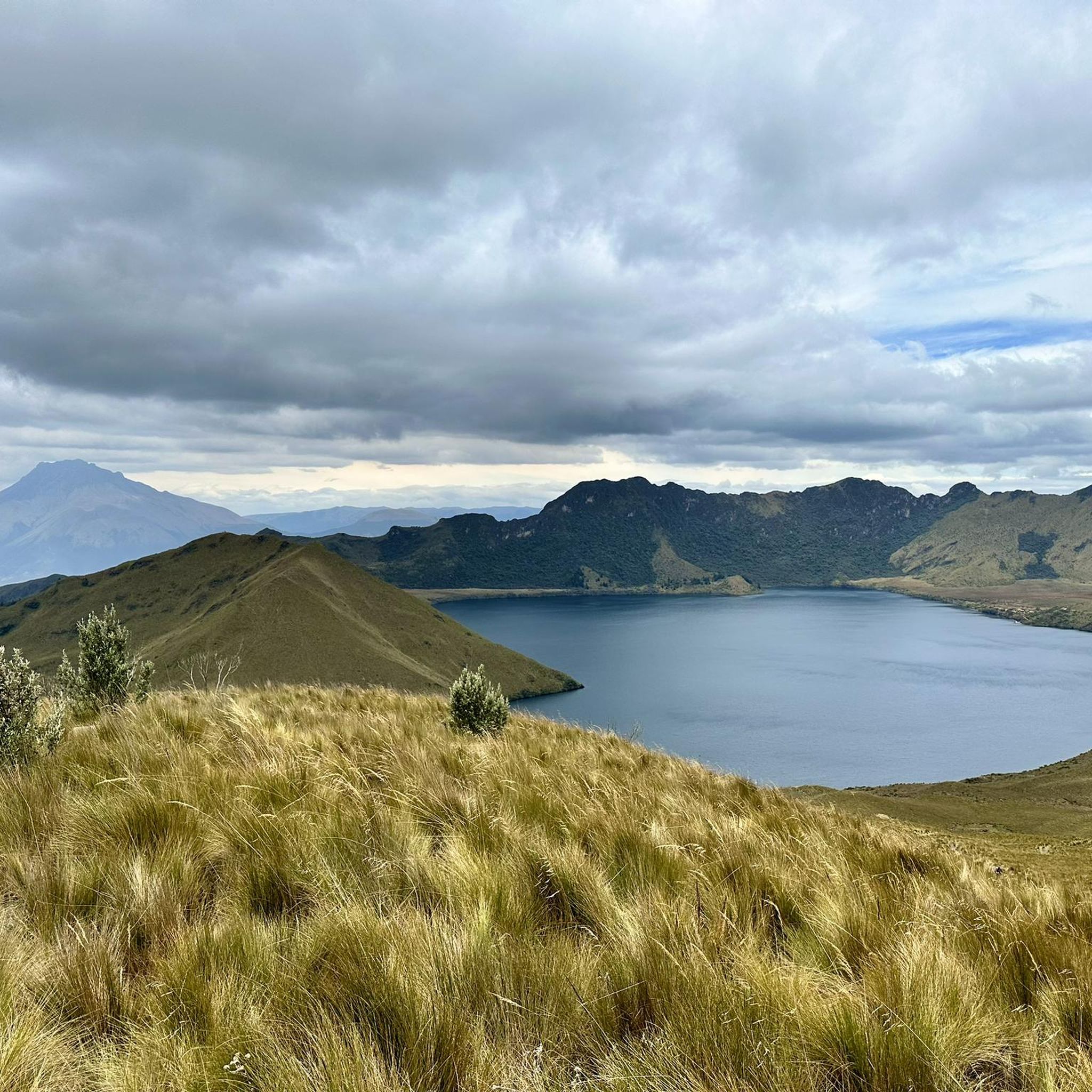
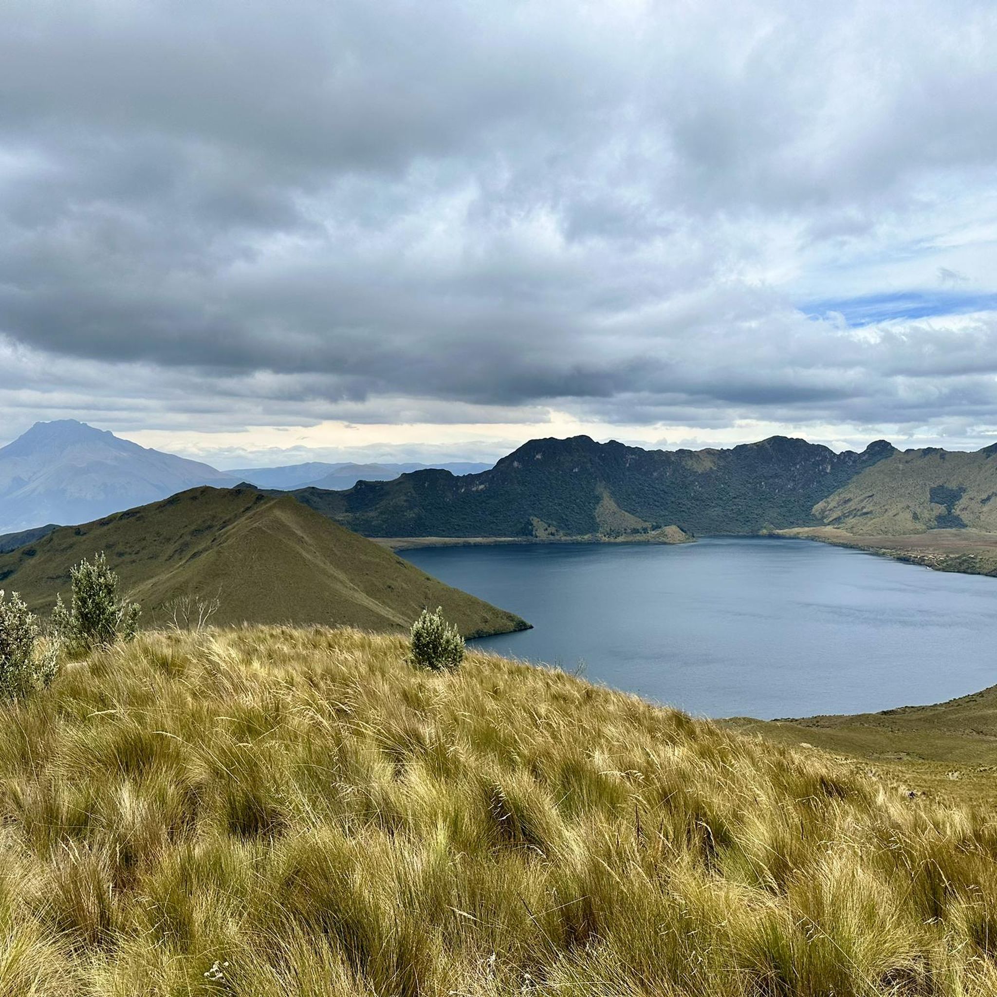
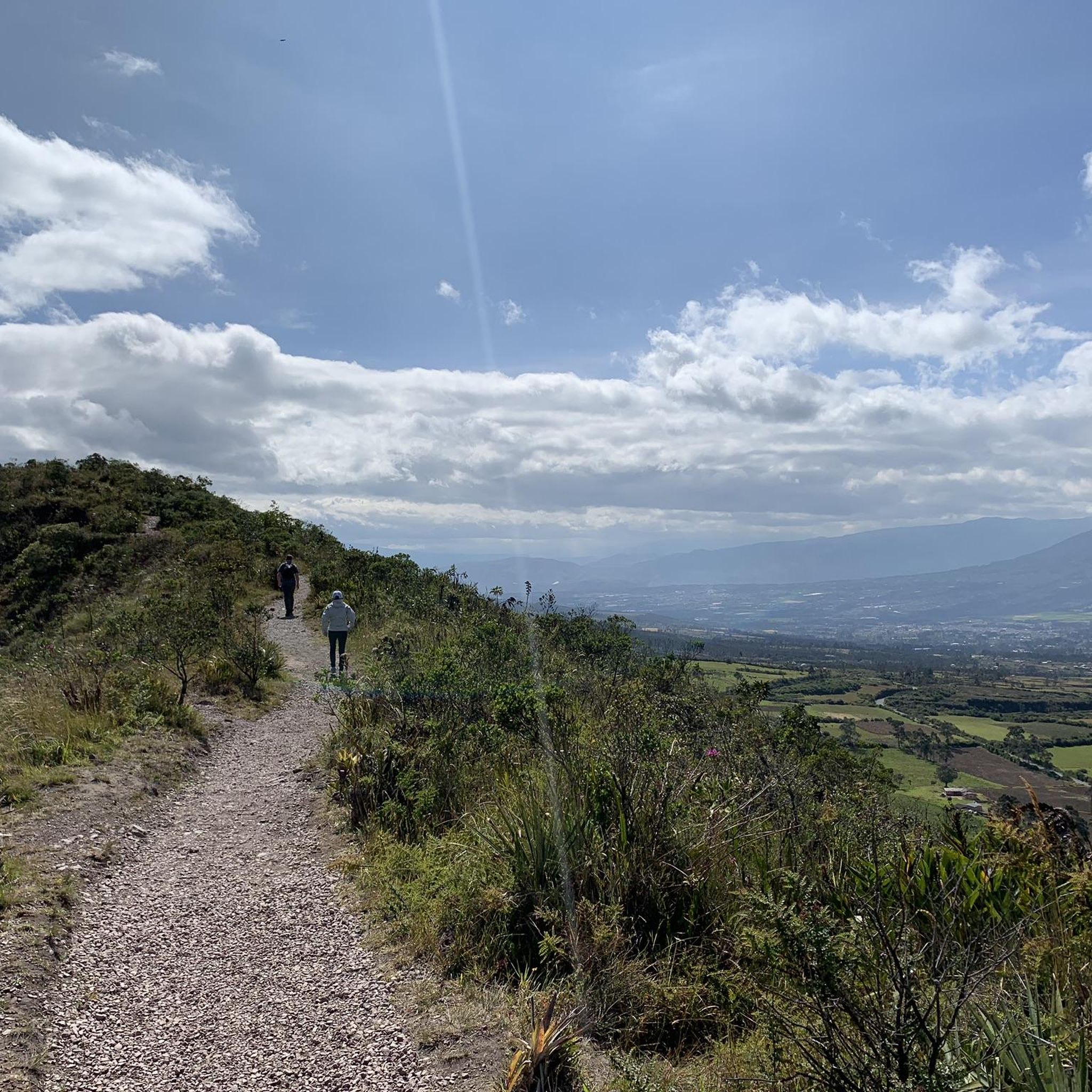
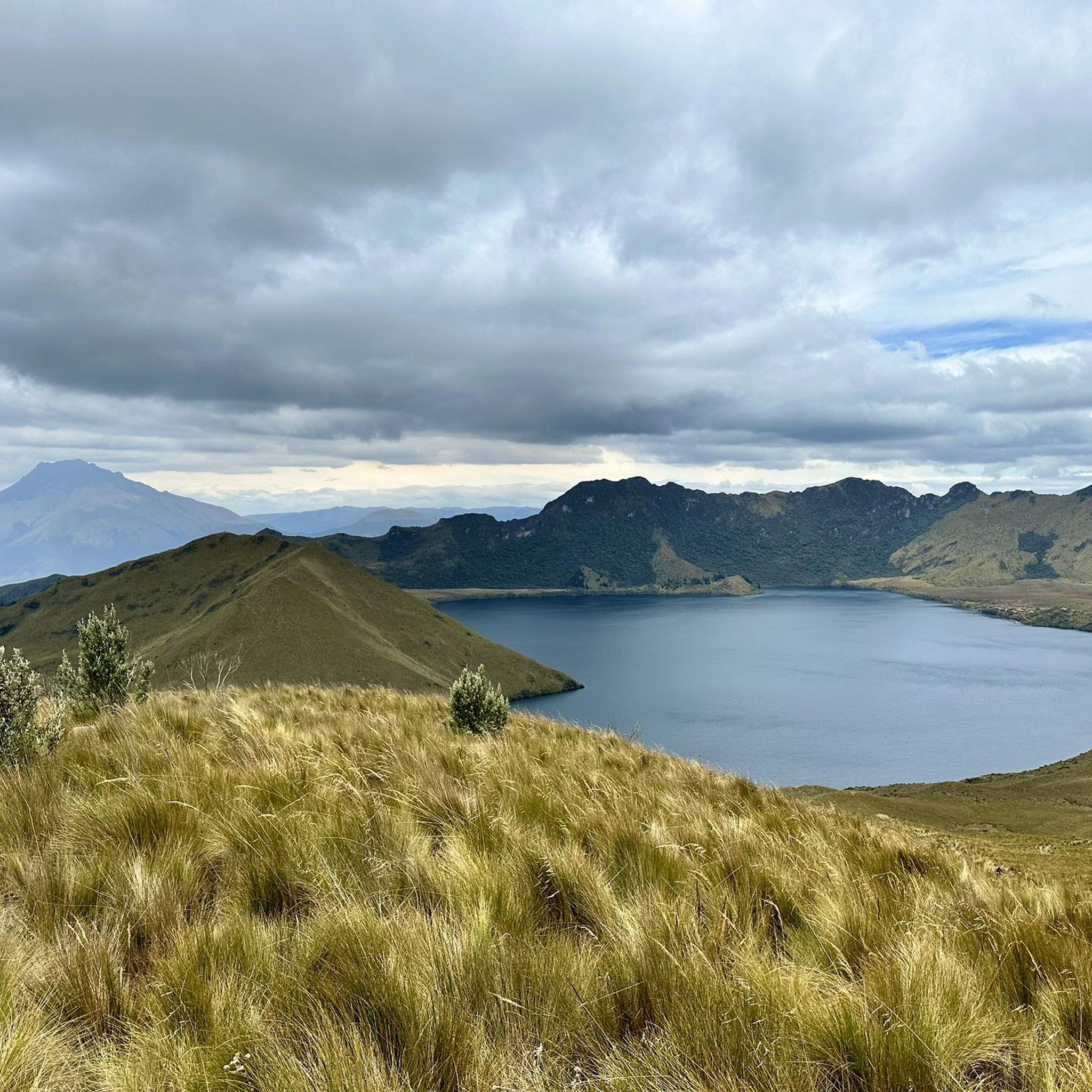
Tips from the Community

lower sprockets and enjoy a very fun climb
0
0

The town of Otavalo is located at 2,532 meters above sea level. It offers many services and is perfect for a few days' break. Worth visiting is the Mercado Municipal 24 de Mayo which offers a wide choice of fresh local products and, above all, a food court in which to refresh yourself!
2
0
This stretch of asphalt road connects Conaqui with Imantag. The road is quiet and passes through cultivated fields and hills. A very picturesque panorama.
0
0

Frequently Asked Questions
What kind of terrain can I expect on road cycling routes in Otavalo?
Road cycling in Otavalo primarily features diverse Andean landscapes. You'll encounter significant elevation changes due to the surrounding volcanic terrain, including views of impressive peaks like Imbabura Volcano. Routes often traverse lush valleys, varied vegetation zones, and rolling agricultural hills, providing a mix of challenging climbs and scenic descents.
Are there road cycling routes suitable for beginners in Otavalo?
While many routes in Otavalo offer challenging elevation gains, there are options for those seeking a more moderate experience. For instance, the Otavalo Town Center loop from Otavalo is a moderate 16.1-mile (25.9 km) trail that takes you through the town center and surrounding areas, offering a less strenuous ride.
What natural attractions can I see while road cycling in Otavalo?
Otavalo's road cycling routes offer stunning natural features. You can cycle past high-altitude lakes like San Pablo Lake, which provides panoramic views of Imbabura Volcano. The region is also home to the breathtaking Cuicocha Lagoon, a volcanic crater lake, and the culturally significant Peguche Waterfall, which is accessible via a short trail and often included in bike tours.
Are there any circular road cycling routes in Otavalo?
Yes, Otavalo offers several circular road cycling routes. A notable example is the challenging Highway to Ibarra and Alamor – Beautiful Views loop from Andrade Marín, which covers 62.7 miles (100.9 km) with substantial elevation gains. Another option is the Highway to Ibarra and Alamor loop from Cotacachi, a difficult 36.5-mile (58.8 km) path with challenging climbs and descents.
What do other road cyclists enjoy most about road cycling in Otavalo?
The road cycling routes in Otavalo are highly rated by the komoot community, with an average score of 4.5 stars. Cyclists often praise the varied terrain, the stunning Andean landscapes, and the opportunity to experience local culture while navigating through indigenous communities and agricultural areas.
Can I find routes that pass through local towns or cultural sites?
Absolutely. Many routes in Otavalo allow for cultural immersion. For instance, the Otavalo Town Center loop from Otavalo takes you through the heart of the town. Cycling through the region often means passing through indigenous communities, offering a chance to experience local life and potentially visit the famous Otavalo Market.
What is the typical elevation gain on road cycling routes in Otavalo?
Road cycling in Otavalo is characterized by significant elevation changes due to its Andean setting. Difficult routes, such as the Highway to Ibarra and Alamor – Beautiful Views loop from Andrade Marín, can feature nearly 2,000 meters (6,500 feet) of elevation gain. Even moderate routes, like the Highway to Ibarra and Alamor loop from Cotacachi, involve over 350 meters (1,100 feet) of ascent.
Are there any specific viewpoints or scenic spots along the routes?
Yes, the region is rich with scenic viewpoints. The Mojanda Lakes area, including Scenic viewpoint Lagunas de Mojanda, offers breathtaking landscapes of interconnected crater lakes and rugged mountains. Additionally, El Lechero Sacred Tree and Viewpoint provides panoramic vistas of the surrounding area.
What is the best time of year to go road cycling in Otavalo?
Otavalo, being near the equator, experiences consistent temperatures year-round. However, the region has wet and dry seasons. The dry season, typically from June to September, often offers clearer skies and more favorable conditions for road cycling, though local weather patterns can vary.
Are there guided cycling tours available in Otavalo?
Yes, many local operators in Otavalo offer guided cycling tours. These tours often combine physical activity with cultural stops, providing equipment, support, and expert knowledge of the area. This can be a great option for exploring the region's diverse routes and attractions.
What are the road conditions like for cycling in Otavalo?
The Imbabura province, where Otavalo is located, boasts an excellent network of roads suitable for cycling. Many routes feature wide shoulders and some even have dedicated bike paths, enhancing safety and enjoyment for road cyclists. However, as with any Andean region, be prepared for varying road surfaces and conditions.
Most popular routes in Otavalo
Most popular attractions in Otavalo

Get inspired with the komoot mobile app


Explore more
Browse the best Road cycling routes in other regions.
