The 11 Most Amazing Peaks around Mühlheim am Main
Best mountain peaks around Mühlheim am Main are characterized by picturesque hills, forests, and repurposed quarry landscapes rather than traditional high mountain peaks. The town is situated in Hesse, Germany, within the Frankfurt Rhine Main Region. This area offers various elevated points and scenic trails that provide rewarding views and opportunities for outdoor activities. The landscape includes diverse ecosystems, from riverine paths to forested hillsides and unique geological formations.
Best mountain peaks around Mühlheim am Main
- The most popular mountain…
Last updated: May 11, 2026
View of the Frankfurt skyline from Lohrberg
Highlight • Viewpoint
Translated by Google •
Tip by

Friedberger Warte
Highlight • Historical Site
From 2015 to 2017, the place at the waiting room was redesigned so …
Translated by Google •
Tip by

Sign up now to discover places like this
Get recommendations on the best single tracks, peaks, & plenty of other exciting outdoor places.
Sign up for free
Ebertsberg Summit
Highlight • Summit
Translated by Google •
Tip by

Dietzenbach Ebertsberg Summit Trail
Highlight (Segment) • Summit
The trails are relatively short, especially uphill.
But still great fun.
Translated by Google •
Tip by

Summit of the Mühlheim Gailenberg
Highlight • Summit
Translated by Google •
Tip by

Sign up for free to discover even more peaks around Mühlheim am Main.
Sign up for free
Already have an account?
Start today with a free account
Your next adventure awaits.
Login or Signup
Popular around Mühlheim am Main

Orchards, vineyards, taverns – hikes in the RMV area

Out into spring – glorious hikes with the RMV

Fit in den Frühling – Die schönsten Laufrunden im Rhein-Main-Gebiet
Cycling around Mühlheim am Main
Running Trails around Mühlheim am Main
Hiking around Mühlheim am Main
Road Cycling Routes around Mühlheim am Main
MTB Trails around Mühlheim am Main
Gravel biking around Mühlheim am Main
Other adventures around Mühlheim am Main

Tips from the Community

Between the entrances to the current Friedberger Warte restaurant and the Wehrhof there is a walled-in draw well. Its base is made of natural stone, its body and the arch that covers it are made of red sandstone. The well opening is protected by a conical wooden roof.
1
0
The current Friedberger Warte was built in 1478 in late Gothic style, replacing a watchtower mentioned as early as 1350, as the last watchtower of the Frankfurt Landwehr on the Eulenberg, the highest point in Bornheim. The complex consists of a rectangular fortified courtyard with a rectangular floor plan measuring 22 by 28 meters. On the west side is the guardhouse with kitchen and well room. The most striking component is the slender defensive and watchtower with a slate roof. The Friedberger Warte was only once the scene of a military conflict: in 1546, the people of Frankfurt repelled imperial troops here during the Schmalkaldic War. In 1634, during the Thirty Years' War, the tower and fortified courtyard were set on fire by wandering Croats. The Friedberger Warte was rebuilt in 1637. It later served as a customs station and fire watch. A popular apple wine bar has been located here since 1815. The tower has served as a ventilation shaft for the sewer system since 1885.
0
0

The Gailenberg nature reserve has so many special features. It's great that there are some information boards with explanations, great.
1
0
It is a very flat hill in a very sandy area. Wine has been grown here very successfully for several years.
1
0
The trail can also be ridden with a conventional “biobike”. However, at the summit there is no view for which one would be “rewarded”.
2
0
The “Gailenberg” is a very interesting biotope. It is important to preserve a habitat for rare fauna and flora here.
1
0

There is a barbecue area, a restaurant and a playground for the little ones. And on top of that a wonderful view.
9
0
It is 185 meters high and Frankfurt's local mountain
10
0
Frequently Asked Questions
What are the most notable elevated areas or 'peaks' around Mühlheim am Main?
While Mühlheim am Main doesn't feature traditional high mountain peaks, the region offers several elevated areas and hills with rewarding views. Key spots include the Summit of the Mühlheim Gailenberg, which is the highest elevation within the city, and the Ebertsberg Summit, one of the highest points in the Offenbach district. The unique landscape of the Dietesheim Quarries also provides significant elevation and impressive views.
Where can I find the best panoramic views of the region?
For stunning panoramic views, visit the View of the Frankfurt skyline from Lohrberg, which offers a wide outlook over the city and surrounding areas. The Summit of the Mühlheim Gailenberg and Ebertsberg Summit also provide excellent viewpoints, often with unique natural surroundings.
Are there family-friendly elevated areas or trails suitable for children?
Yes, several elevated areas are family-friendly. The View of the Frankfurt skyline from Lohrberg is a popular destination with nearby amenities. The Summit of the Mühlheim Gailenberg and Ebertsberg Summit are also suitable for families, offering pleasant walks and natural exploration. Additionally, the Dietesheim Quarries area has trails of varying difficulty, including easier options.
What unique natural features can I explore in these elevated areas?
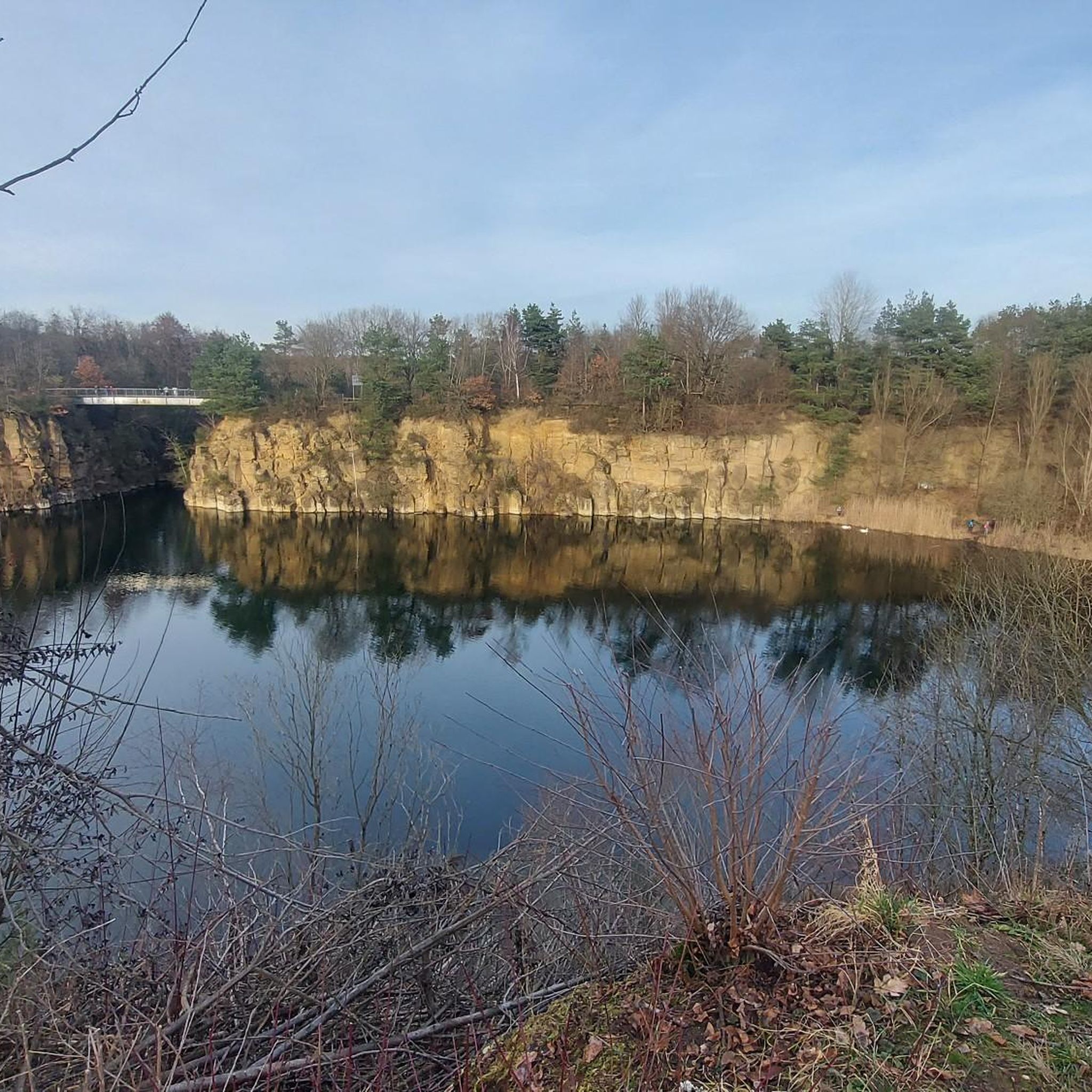
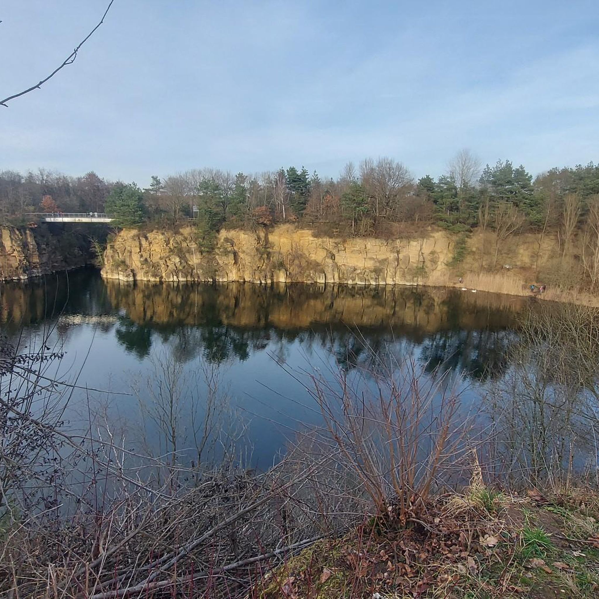
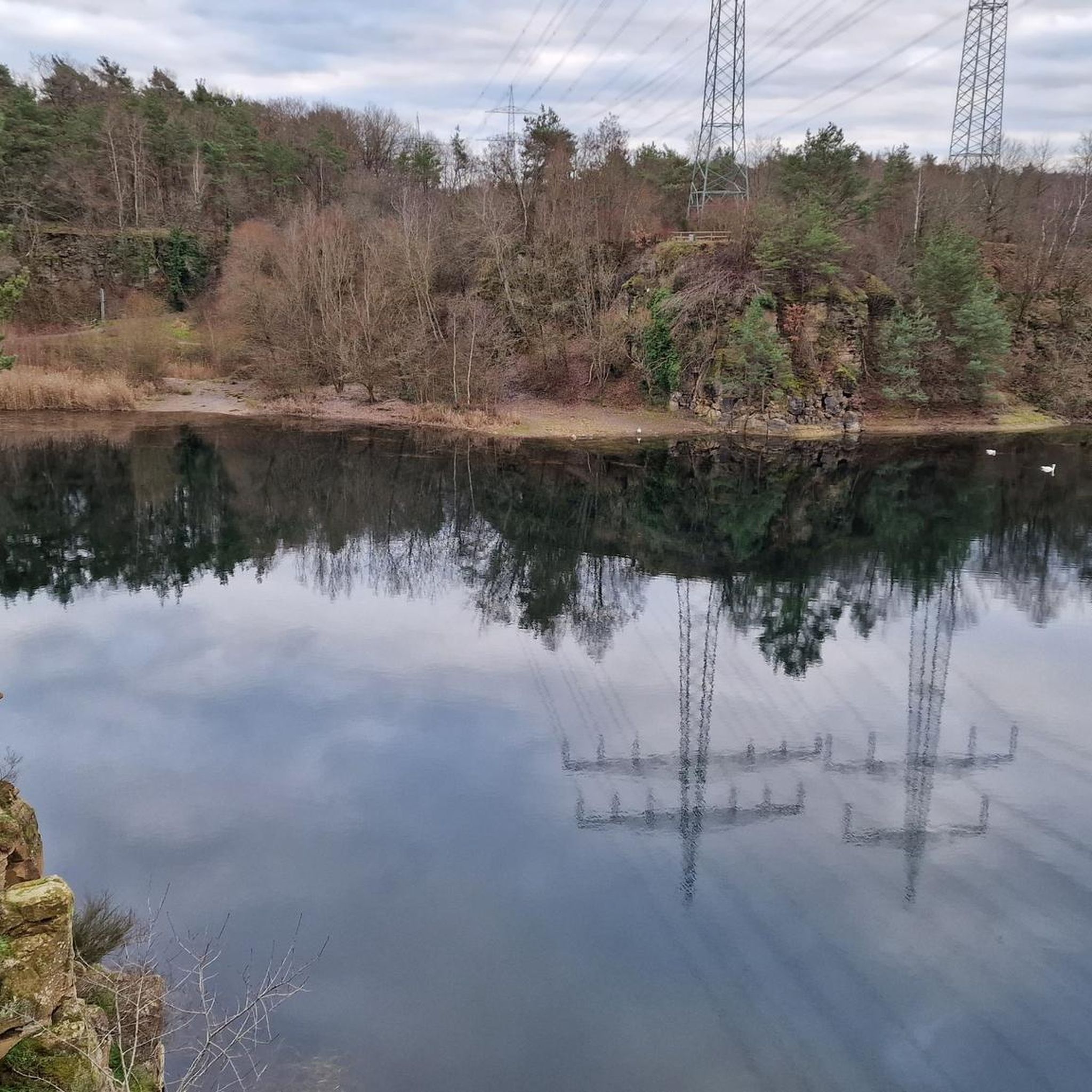
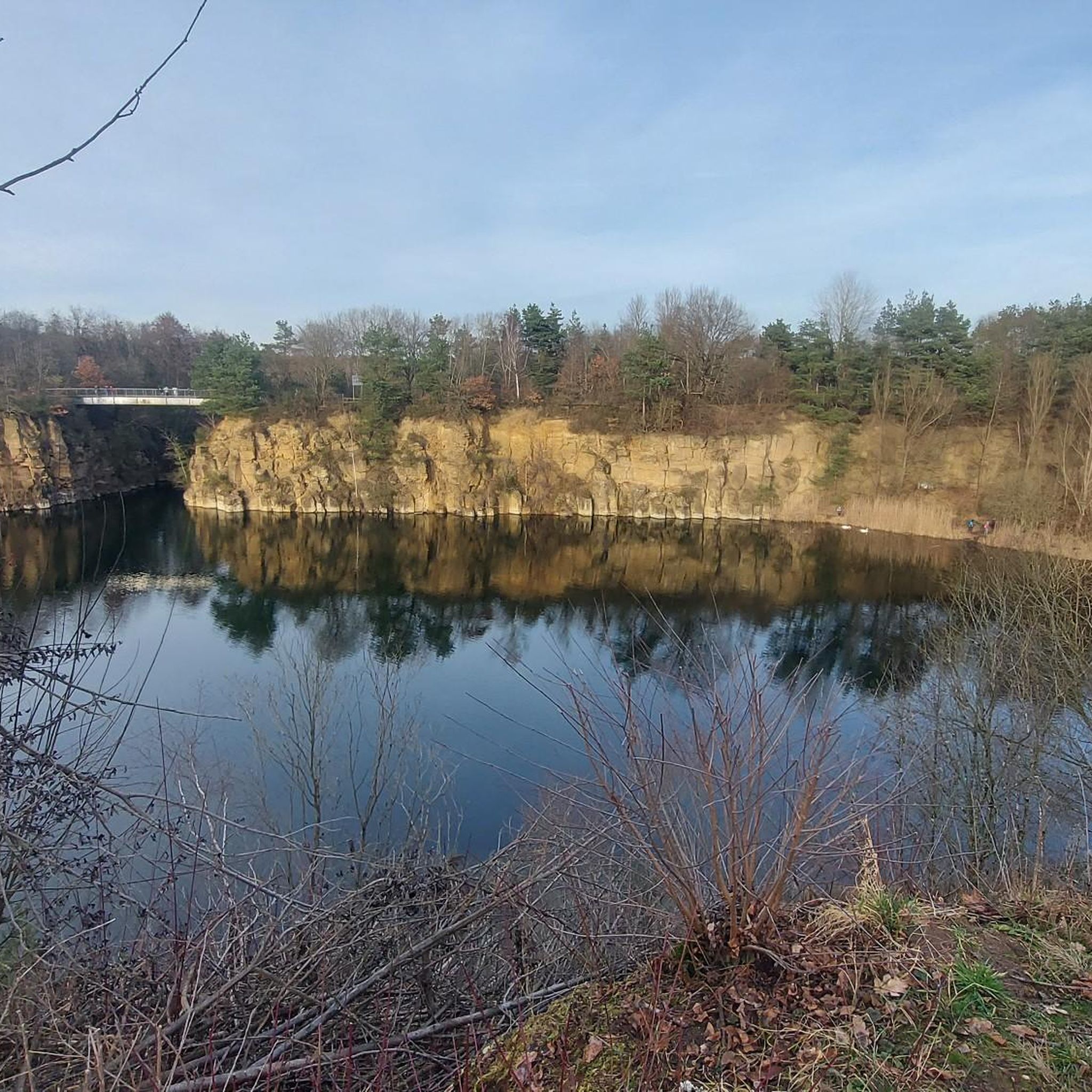
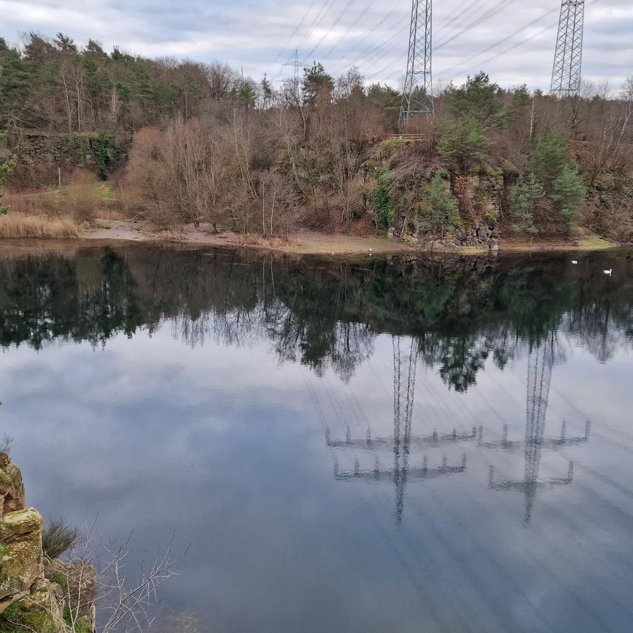
The region boasts unique natural features, particularly the Dietesheim Quarries, which are former quarries transformed into a distinctive landscape with geological formations and quarry lakes. The Summit of the Mühlheim Gailenberg is known for its exceptional dry biotope and fruit trees, offering a relaxing nature experience.
When is the best time of year to visit the elevated areas around Mühlheim am Main?
The mild climate in spring and autumn makes these seasons ideal for visiting, with blooming wildflowers or colorful foliage enhancing the hiking experience. However, the diverse landscapes, from riverine paths to forested hillsides, offer enjoyable outdoor activities throughout much of the year.
Are there challenging hiking trails for experienced hikers?
Yes, for those seeking a challenge, the Dietzenbach Ebertsberg Summit Trail offers a challenging ascent with single trails. The Dietesheim Quarries also feature moderate hikes, such as the 'Dietesheim Quarries – View of the Oberwaldsee Quarry loop from Mühlheim (Main)-Dietesheim', which includes up to 300 meters of elevation gain.
What outdoor activities can I do near these elevated areas?
Beyond exploring the elevated points, the region offers a variety of outdoor activities. You can find numerous hiking routes, including easy and moderate options like the 'Vogelsberg Lake – Dietesheim Quarries loop from Lämmerspiel'. Cycling is also popular, with routes such as the 'Blue Crane, Offenbach Harbour – Goethe Tower loop from Mühlheim (Main)'. For more details, explore the hiking guide or cycling guide for Mühlheim am Main.
Are there any historical sites located on or near these elevated points?
Yes, the Friedberger Warte is a notable historical site. This watchtower, dating back to 1478, is located on an elevated point and offers insights into the region's past as a lookout for the Frankfurt Landwehr.
What do visitors enjoy most about the elevated areas around Mühlheim am Main?
Visitors particularly appreciate the panoramic views, the opportunity to connect with nature, and the variety of trails suitable for different fitness levels. The unique geological formations of the Dietesheim Quarries and the peaceful, natural environment of areas like the Gailenberg are frequently highlighted as rewarding experiences.
Are there any wheelchair-accessible viewpoints or trails?
The Friedberger Warte is noted as being wheelchair-accessible, offering an opportunity for everyone to enjoy a historical site on an elevated point.
Where can I find information about parking or public transport access to these areas?
While specific parking details for every elevated point are not always listed, areas like the View of the Frankfurt skyline from Lohrberg are generally accessible by car and often have parking facilities. For public transport, Mühlheim am Main is well-connected within the Frankfurt Rhine Main Region, and local buses often serve areas close to popular hiking spots. It's advisable to check local transport schedules for specific routes to trailheads.
Most popular routes around Mühlheim am Main
Most popular attractions around Mühlheim am Main

Get inspired with the komoot mobile app


Explore more
See even more amazing summits around Mühlheim am Main with these guides:
