The best cycling routes around Mühlheim am Main
4.4
(735)
3,262
riders
56
rides
Touring cycling around Mühlheim am Main is characterized by its location along the Main River, offering mostly flat terrain suitable for various skill levels. The region integrates diverse landscapes, including riverbanks, green spaces, and access to forested areas and agricultural land. Cyclists can explore paths that follow the Main River, providing views of the water and surrounding scenery. The broader Rhine-Main area around Mühlheim also includes varied natural settings like quarry lakes and meadows.
Best touring cycling routes around Mühlheim…
Last updated: June 30, 2026
4.8
(195)
660
riders
33.2km
01:59
100m
100m
Easy bike ride. Great for any fitness level. Mostly paved surfaces. Suitable for all skill levels.
4.5
(17)
242
riders
Easy bike ride. Great for any fitness level. Mostly paved surfaces. Suitable for all skill levels.

Sign up for free
4.6
(48)
603
riders
Easy bike ride. Great for any fitness level. Mostly paved surfaces. Suitable for all skill levels.
4.7
(20)
88
riders
56.5km
03:23
230m
230m
Moderate bike ride. Good fitness required. Mostly paved surfaces. Suitable for all skill levels.
4.6
(13)
88
riders
Easy bike ride. Great for any fitness level. Mostly paved surfaces. Suitable for all skill levels.
Get access to more routes and recommendations from other explorers.
Sign up for free
Already have an account?
Our route recommendations are based on thousands of hikes, rides, and runs completed by other people on komoot.
Start today with a free account
Your next adventure awaits.
Login or Signup
Popular around Mühlheim am Main
Changing habitats – themed cycling in FrankfurtRheinMain

Orchards, vineyards, taverns – hikes in the RMV area

Out into spring – glorious hikes with the RMV

Fit in den Frühling – Die schönsten Laufrunden im Rhein-Main-Gebiet
Running Trails around Mühlheim am Main
Road Cycling Routes around Mühlheim am Main
Hiking around Mühlheim am Main
MTB Trails around Mühlheim am Main
Gravel biking around Mühlheim am Main
Other adventures around Mühlheim am Main


Tips from the Community

Here is a beautiful row of weeping willows alternating with other trees on the Main riverbank, really nice to look at.
12
0

It's below the castle.
0
0

It's always lovely to cycle along the Kahl river.
0
0
In the old town of Steinheim.
0
0

Chic industrial monument.. repurposed as a viewing platform
6
0
Very attractive and well-maintained complex including shopping and restaurants in the immediate vicinity
7
0

Somborn is the largest district of Freigericht and also its administrative center. Accordingly, a new town hall was built here.
1
0

The Kinzig is a river approximately 86 kilometers long. It rises in Sterbfritz, flows southwest through the Main-Kinzig district of Hesse, and flows into the Main from the right in Hanau. The Kinzig is a second-order river in low mountain ranges. It overcomes an elevation of 301 meters and has a bed gradient of 3.5 per thousand. The Kinzig's catchment area covers 1,058 square kilometers, and the calculated mean discharge (MQ) at the mouth of the Kinzig is 10.97 cubic meters per second. The Kinzig was first documented in 796 as "iuxta fluvium Kincihen." In 815, the name was written as "Chinzicha," around 900 as "Kincicha"/"Kinzicham," in 1364 as "Kinzige," in 1584 as "Kintzig," in 1607 as "Bintz," in 1681 as "Kintz," in 1716 as "Kins," in 1769 as "Kinzing," and in 1802 as "Kinzig." In the river's headwaters, there was the now-defunct village of Kinzig, mentioned in 815 as "Chirizichheimero." The village and river were often confused by monastery scribes at that time with "Chizzicha" (now Bad Kissingen), both of which were described as being located in the Saalegau. The name presumably derives from the ancient Celtic *ku̯anti̯o- meaning "flat hill, valley." The name was therefore derived from the mountainous region from which the Kinzig flows. Source: Wikipedia
1
0
Frequently Asked Questions
How many touring cycling routes are available around Mühlheim am Main?
There are over 50 touring cycling routes around Mühlheim am Main, catering to various preferences and skill levels. You'll find a good mix of easy, moderate, and challenging options to explore the region.
What kind of terrain can I expect on touring cycling routes in Mühlheim am Main?
The terrain around Mühlheim am Main is predominantly flat, especially along the Main River, making it suitable for leisure cycling. However, the broader Rhine-Main region also offers diverse landscapes including green spaces, forested areas, agricultural land, and even some quarry lakes, providing varied scenery for your tours.
Are there any easy touring cycling routes suitable for beginners or families?
Yes, Mühlheim am Main offers many easy routes, with 32 classified as such. These often follow the flat Main River Path. An excellent option for an easy ride is the Rumpenheim Ferry – Rumpenheim Main Ferry loop from Mühlheim (Main), which is 17.5 km long and includes a scenic ferry crossing.
Are there any circular touring cycling routes around Mühlheim am Main?
Many routes in the area are designed as loops, allowing you to start and end in the same location. For example, the Blue Crane, Offenbach Harbour – Goethe Tower loop from Mühlheim (Main) is a popular 33.4 km circular route that follows the Main River and connects to urban areas.
What attractions or points of interest can I see along the cycling routes?
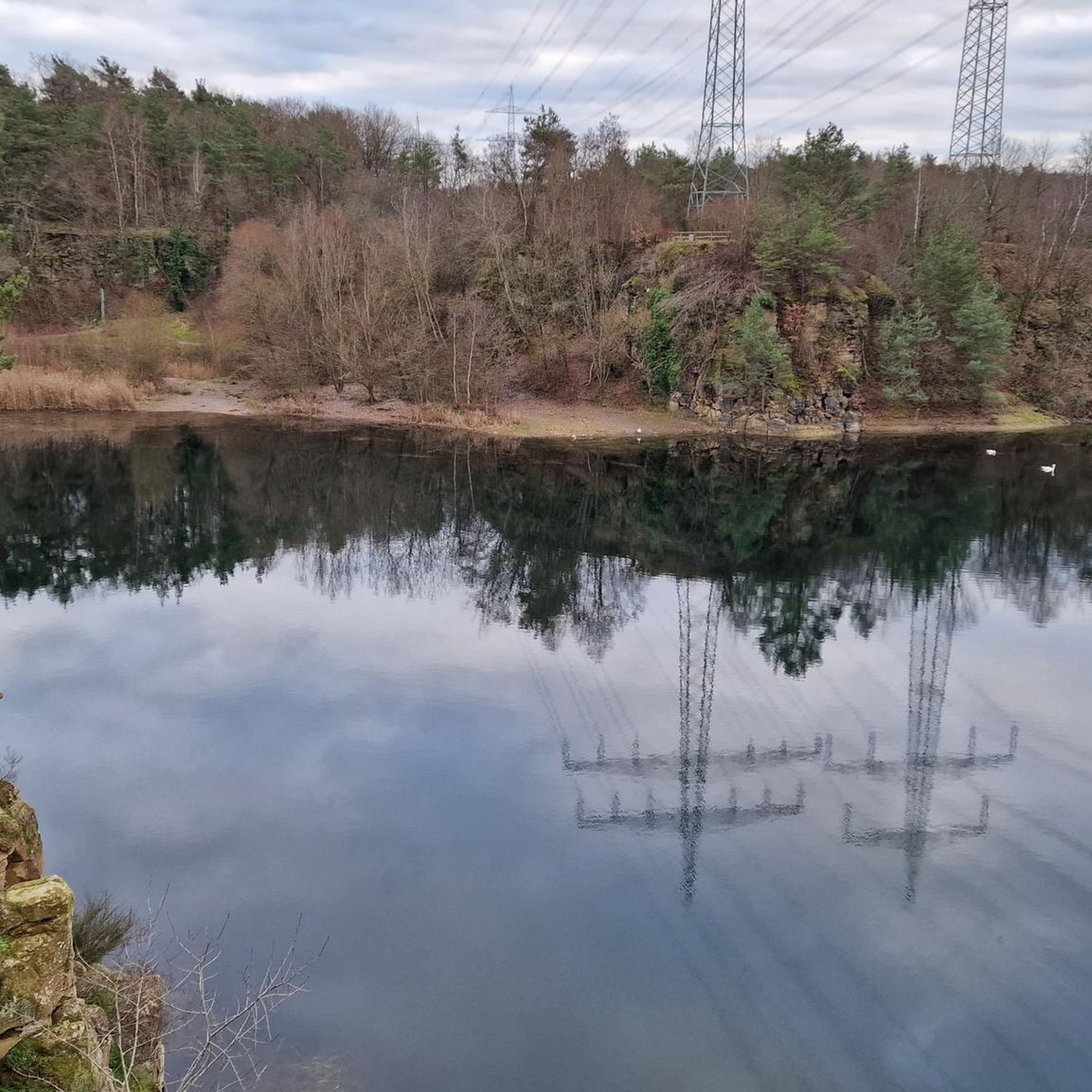
The routes often pass by or near several interesting sights. You can explore the picturesque quarry lakes, such as Oberwaldsee near Dietesheim or the Vogelsberg Lake, which offer unique views and natural beauty. The Dietesheim Quarries are also a notable natural feature. Additionally, routes might lead you to historical sites like those found on the View of Philippsruhe Palace – Steinheim Customs Tower loop from Mühlheim (Main)-Dietesheim.
Are there any longer or more challenging touring cycling routes for experienced cyclists?
Yes, for those seeking a longer adventure, there are moderate and difficult routes available. A notable moderate option is the Wilhelmsbad State Park, Hanau – Sky Swing loop from Mühlheim (Main)-Dietesheim, which spans 67.6 km and offers more elevation gain, leading you through varied landscapes towards Hanau.
How well-rated are the touring cycling routes in Mühlheim am Main by other cyclists?
The touring cycling routes around Mühlheim am Main are highly regarded by the komoot community, holding an impressive average rating of 4.5 stars from over 700 reviews. More than 4,000 touring cyclists have already used komoot to discover the diverse paths in this region.
Is Mühlheim am Main well-connected for cyclists using public transport?
Yes, Mühlheim am Main benefits from its location within the Rhine-Main region, offering good accessibility via local trains and buses. This makes it convenient for cyclists to reach starting points or return from their tours using public transportation.
What are the best times of year for touring cycling in Mühlheim am Main?
The region is generally pleasant for cycling from spring through autumn. The moderate climate and diverse landscapes, including riverbanks, green spaces, and forested areas, are particularly enjoyable during these seasons. While winter cycling is possible, conditions may vary.
Are there any routes that incorporate a ferry crossing?
Yes, some routes offer the unique experience of a ferry crossing on the Main River. The Rumpenheim Ferry – Rumpenheim Main Ferry loop from Mühlheim (Main) is a great example, providing a charming addition to your cycling tour.
Can I combine cycling with exploring nearby historic towns?
Absolutely. Mühlheim am Main is well-situated for exploring charming nearby towns. For instance, you can easily extend your tour to visit Seligenstadt am Main, which is popular with cyclists and features the Einhard Basilica, a beautiful monastery garden, and historic half-timbered buildings.
Are there any routes that offer views of the Main River and urban areas?
Many routes closely follow the Main River, providing picturesque views of the water and its surroundings. The Blue Crane, Offenbach Harbour – Rumpenheim Ferry loop from Mühlheim (Main) is an excellent choice, offering a blend of river scenery and connections to urban areas like Offenbach Harbour.
Most popular routes around Mühlheim am Main
Most popular attractions around Mühlheim am Main

Get inspired with the komoot mobile app


Explore more
Browse the best Cycling routes in other regions.
