The best traffic-free bike rides around Mühlheim am Main
4.4
(735)
3,262
riders
39
rides
Mühlheim am Main traffic-free bike trails benefit from the region's location on the Main River, offering predominantly flat and well-maintained paths. The landscape is characterized by extensive floodplain areas, dense forests, and the scenic Mainuferweg. These natural features provide varied environments for touring cyclists seeking routes without cars.
Best no traffic touring cycling routes around Mühlheim am Main
- The most popular no traffic touring cycling route is Blue Crane, Offenbach Harbour – Goethe Tower loop from Mühlheim (Main), a…
Last updated: June 30, 2026
4.8
(174)
599
riders
33.3km
02:01
100m
100m
Moderate bike ride. Good fitness required. Mostly paved surfaces. Suitable for all skill levels.
4.8
(295)
718
riders
Easy bike ride. Great for any fitness level. Mostly paved surfaces. Suitable for all skill levels.

Sign up for free
4.5
(17)
242
riders
Easy bike ride. Great for any fitness level. Mostly paved surfaces. Suitable for all skill levels.
4.6
(48)
603
riders
Easy bike ride. Great for any fitness level. Mostly paved surfaces. Suitable for all skill levels.
4.6
(13)
88
riders
Easy bike ride. Great for any fitness level. Mostly paved surfaces. Suitable for all skill levels.
Get access to more routes and recommendations from other explorers.
Sign up for free
Already have an account?
Our route recommendations are based on thousands of hikes, rides, and runs completed by other people on komoot.
Start today with a free account
Your next adventure awaits.
Login or Signup
Popular around Mühlheim am Main
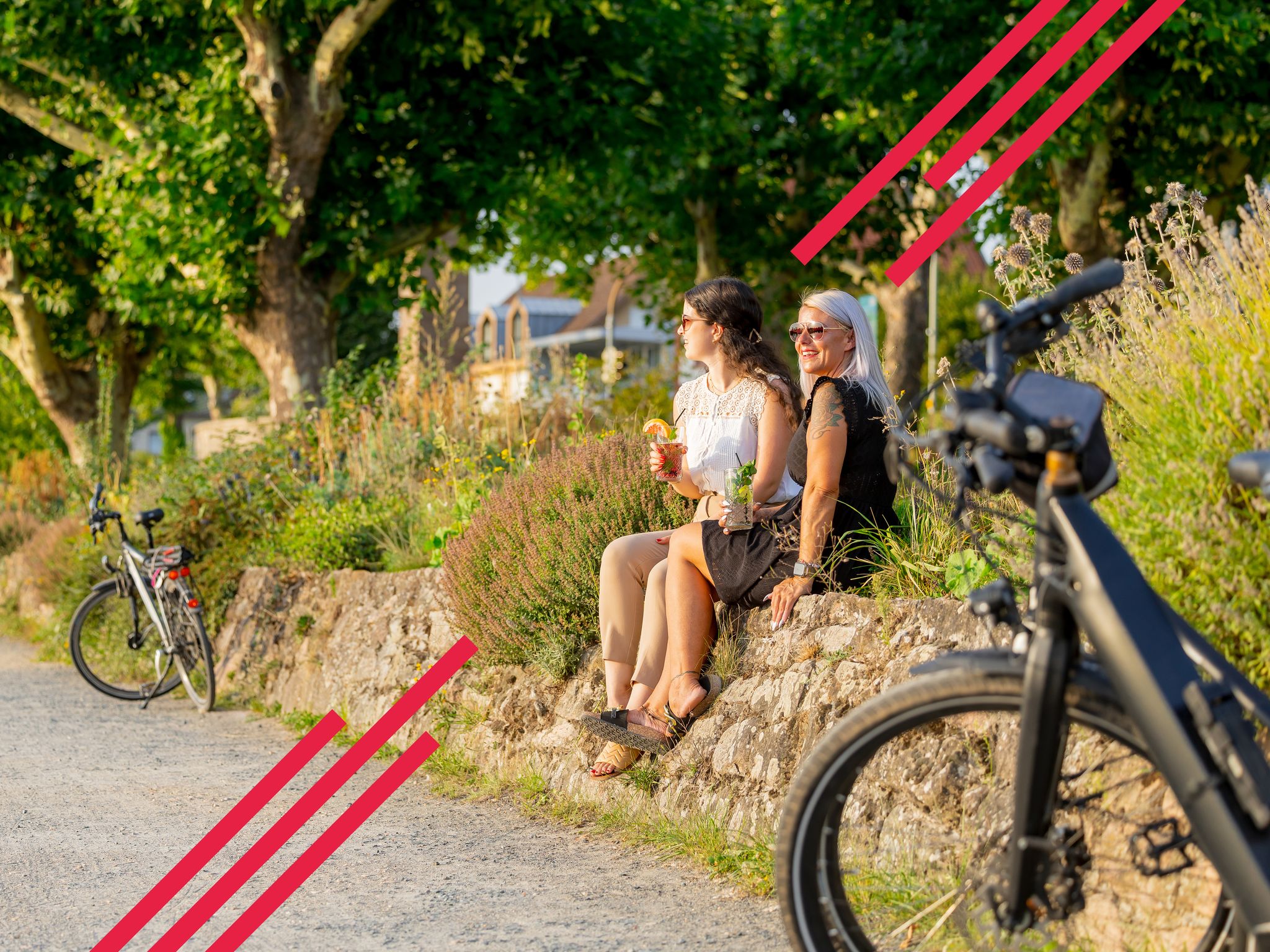
Changing habitats – themed cycling in FrankfurtRheinMain

Orchards, vineyards, taverns – hikes in the RMV area

Out into spring – glorious hikes with the RMV

Fit in den Frühling – Die schönsten Laufrunden im Rhein-Main-Gebiet
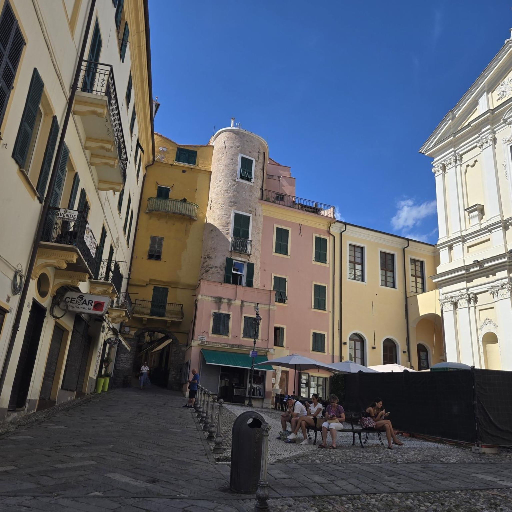
Traffic-free bike rides around Mühlheim am Main
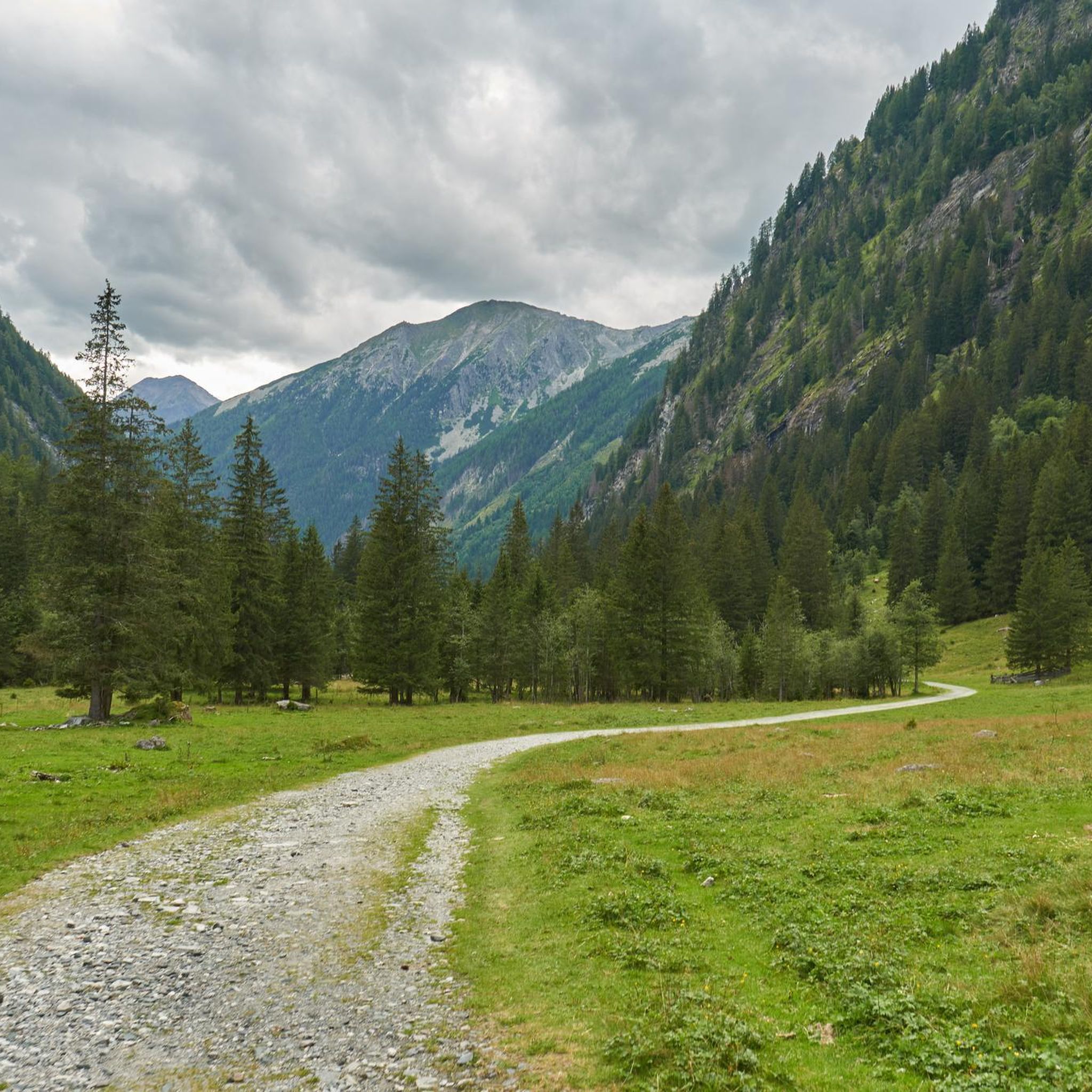
Traffic-free bike rides around Mühlheim am Main
Other adventures around Mühlheim am Main


Tips from the Community

Here is a beautiful row of weeping willows alternating with other trees on the Main riverbank, really nice to look at.
12
0

It's below the castle.
0
0
In the old town of Steinheim.
0
0

From the bridge you can watch the big ships and the small boats.
2
0

Chic industrial monument.. repurposed as a viewing platform
6
0
Very attractive and well-maintained complex including shopping and restaurants in the immediate vicinity
7
0

The Kinzig is a river approximately 86 kilometers long. It rises in Sterbfritz, flows southwest through the Main-Kinzig district of Hesse, and flows into the Main from the right in Hanau. The Kinzig is a second-order river in low mountain ranges. It overcomes an elevation of 301 meters and has a bed gradient of 3.5 per thousand. The Kinzig's catchment area covers 1,058 square kilometers, and the calculated mean discharge (MQ) at the mouth of the Kinzig is 10.97 cubic meters per second. The Kinzig was first documented in 796 as "iuxta fluvium Kincihen." In 815, the name was written as "Chinzicha," around 900 as "Kincicha"/"Kinzicham," in 1364 as "Kinzige," in 1584 as "Kintzig," in 1607 as "Bintz," in 1681 as "Kintz," in 1716 as "Kins," in 1769 as "Kinzing," and in 1802 as "Kinzig." In the river's headwaters, there was the now-defunct village of Kinzig, mentioned in 815 as "Chirizichheimero." The village and river were often confused by monastery scribes at that time with "Chizzicha" (now Bad Kissingen), both of which were described as being located in the Saalegau. The name presumably derives from the ancient Celtic *ku̯anti̯o- meaning "flat hill, valley." The name was therefore derived from the mountainous region from which the Kinzig flows. Source: Wikipedia
1
0

Nice little beer garden with very tasty food - good Hessian cuisine
0
0
Frequently Asked Questions
How many traffic-free touring cycling routes are available in Mühlheim am Main?
There are nearly 40 dedicated traffic-free touring cycling routes around Mühlheim am Main. The majority, about 25, are rated as easy, making them suitable for various skill levels. You can also find moderate and a few more challenging options.
What kind of landscapes can I expect on these no-traffic cycling routes?
The routes primarily follow the scenic Main River, offering picturesque views along the Mainuferweg. You'll also cycle through extensive floodplain landscapes, dense forests, and recreational areas like the Stadtwald. Unique natural features such as the Dietesheim Quarries and sand dunes at Gailenberg are also accessible.
Are there any family-friendly traffic-free cycling routes in Mühlheim am Main?
Yes, Mühlheim am Main is well-suited for family cycling. Many routes, especially those along the Main Cycle Path, are largely flat and well-maintained, often on separate cycle paths or low-traffic roads. The 25 easy routes available are ideal for families, such as the Rumpenheim Ferry – Rumpenheim Main Ferry loop from Mühlheim (Main).
What are some notable landmarks or natural features to see along the routes?
You can explore several interesting points. The Dietesheim Quarries offer a unique natural diversion. The Oberwaldsee near Dietesheim and Vogelsberg Lake provide beautiful waterside views, including the View of the Vogelsberger See and Canyon Bridge. Historical sites like the nearby Seligenstadt Abbey are also easily accessible by bike.
What is the best time of year for traffic-free touring cycling in Mühlheim am Main?
The region is enjoyable for cycling throughout the warmer months, typically from spring to autumn. The Main Cycle Path is well-suited for all seasons, but spring and early autumn offer pleasant temperatures and vibrant scenery, avoiding the peak summer heat or potential winter conditions.
Are there any circular no-traffic cycling routes available?
Yes, many of the routes are designed as loops, allowing you to start and end in the same location. For example, the Blue Crane, Offenbach Harbour – Goethe Tower loop from Mühlheim (Main) offers a moderate circular experience, while the View of Philippsruhe Castle – View of Philippsruhe Palace loop from Mühlheim (Main)-Dietesheim is an easier option.
How accessible are the traffic-free cycling routes by public transport?
Mühlheim am Main is well-connected by public transport, making it easy to reach the starting points of many routes. The Main Cycle Path, which forms the basis for many local routes, is integrated into the regional transport network, allowing for flexible travel with your bike.
Are there places to eat or rest along the traffic-free cycling paths?
Yes, the region offers various options for breaks. Along the Main River, you'll find numerous cafes and restaurants. There are also specific highlights like the Waldhütte Coffee Meeting Point and In the Gadde, which serve as convenient spots for refreshments.
What do other touring cyclists enjoy most about cycling in Mühlheim am Main?
The komoot community highly rates the touring cycling experience in Mühlheim am Main, with an average score of 4.5 stars from over 740 ratings. Reviewers often praise the flat, well-maintained paths along the Main River, the peaceful atmosphere, and the accessibility of natural and historical attractions without encountering heavy traffic.
Are there any longer, more challenging traffic-free routes for experienced touring cyclists?
While many routes are easy, there are options for more experienced cyclists seeking longer distances or slightly more varied terrain. For example, the Rumpenheim Ferry – Rumpenheim Main Ferry loop from Maintal is rated as difficult, offering a greater challenge while still focusing on low-traffic environments.
Can I combine cycling with other activities, like hiking, in the area?
Absolutely. The region's extensive network of cycling and hiking trails often intertwine. You can easily combine a cycling tour with a short walk through the Stadtwald or explore the trails around the Dietesheim Quarries. The RegionalparkRundweg also offers opportunities for both cycling and hiking.
Most popular routes around Mühlheim am Main
Most popular attractions around Mühlheim am Main

Get inspired with the komoot mobile app


Explore more
Browse the best Cycling routes in other regions.
