The best walks and hikes in Kreis Groß-Gerau
4.5
(5817)
24,157
hikers
1,519
hikes
Hiking in Kreis Groß-Gerau offers diverse landscapes, primarily characterized by the flat terrain of the Upper Rhine Plain. The region features extensive riverine areas along the Rhine and Main, alongside significant nature reserves such as Kühkopf-Knoblochsaue and Mönchbruch. These areas include unique floodplain forests with varied ecosystems, providing accessible routes for different fitness levels.
Best hiking trails in Kreis Groß-Gerau
- The most popular hiking route is The hardwood floodplain loop from Fischsee, an 8.5 miles (13.8 km) moderate trail…
Last updated: August 25, 2026
4.8
(235)
756
hikers
13.8km
03:29
0m
0m
Moderate hike. Good fitness required. Easily-accessible paths. Suitable for all skill levels.
4.6
(191)
633
hikers
8.78km
02:13
0m
Moderate hike. Good fitness required. Easily-accessible paths. Suitable for all skill levels.

Sign up for free
4.7
(73)
276
hikers
12.2km
03:04
10m
10m
Moderate hike. Good fitness required. Easily-accessible paths. Suitable for all skill levels.
4.6
(83)
291
hikers
Moderate hike. Good fitness required. Easily-accessible paths. Suitable for all skill levels.
4.5
(35)
121
hikers
12.7km
03:12
20m
20m
Moderate hike. Good fitness required. Easily-accessible paths. Suitable for all skill levels.
4.5
(56)
187
hikers
Easy hike. Great for any fitness level. Easily-accessible paths. Suitable for all skill levels.
4.4
(39)
257
hikers
6.06km
01:32
10m
10m
Easy hike. Great for any fitness level. Easily-accessible paths. Suitable for all skill levels.
4.6
(44)
158
hikers
5.51km
01:26
30m
30m
Easy hike. Great for any fitness level. Easily-accessible paths. Suitable for all skill levels.
4.8
(41)
196
hikers
Easy hike. Great for any fitness level. Easily-accessible paths. Suitable for all skill levels.
4.8
(96)
347
hikers
9.20km
02:19
10m
10m
Moderate hike. Good fitness required. Easily-accessible paths. Suitable for all skill levels.
Get access to more routes and recommendations from other explorers.
Sign up for free
Already have an account?
Our route recommendations are based on thousands of hikes, rides, and runs completed by other people on komoot.
Start today with a free account
Your next adventure awaits.
Login or Signup
Popular around Kreis Groß-Gerau
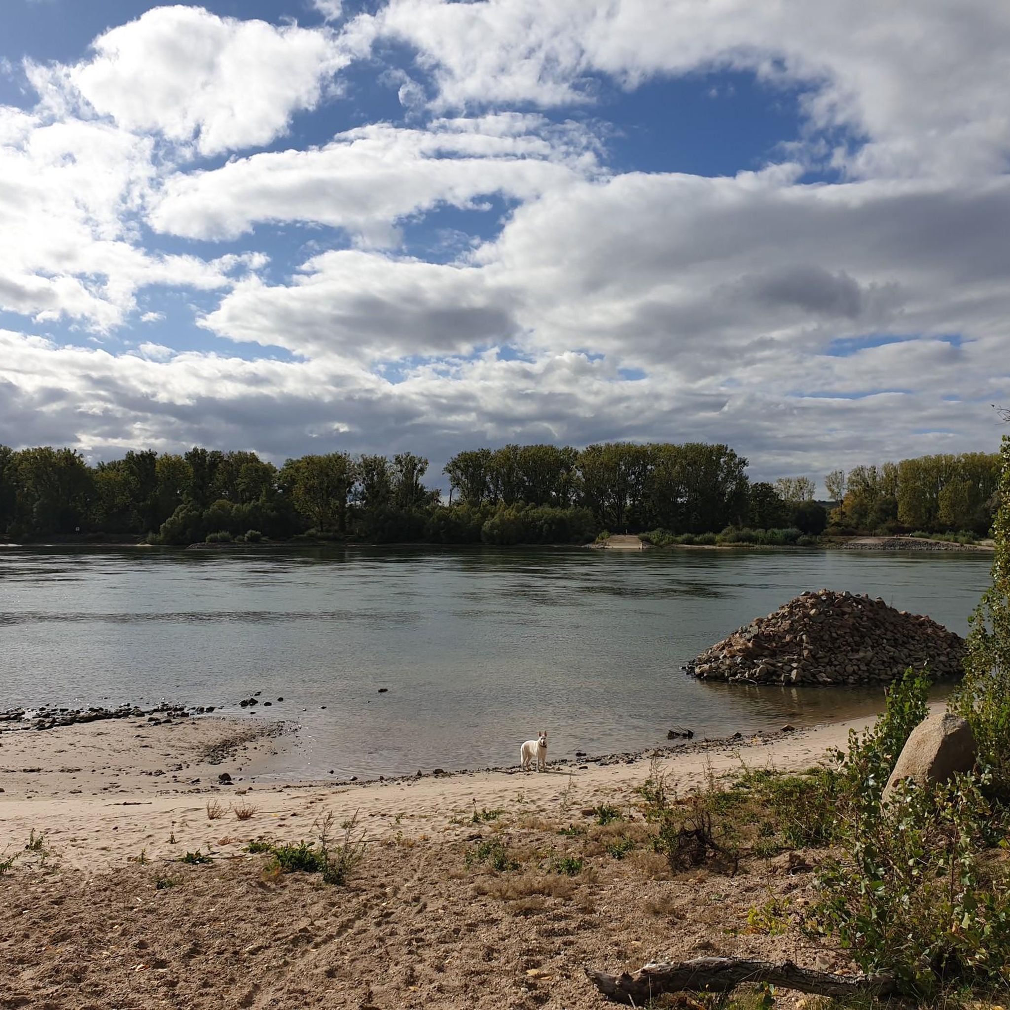
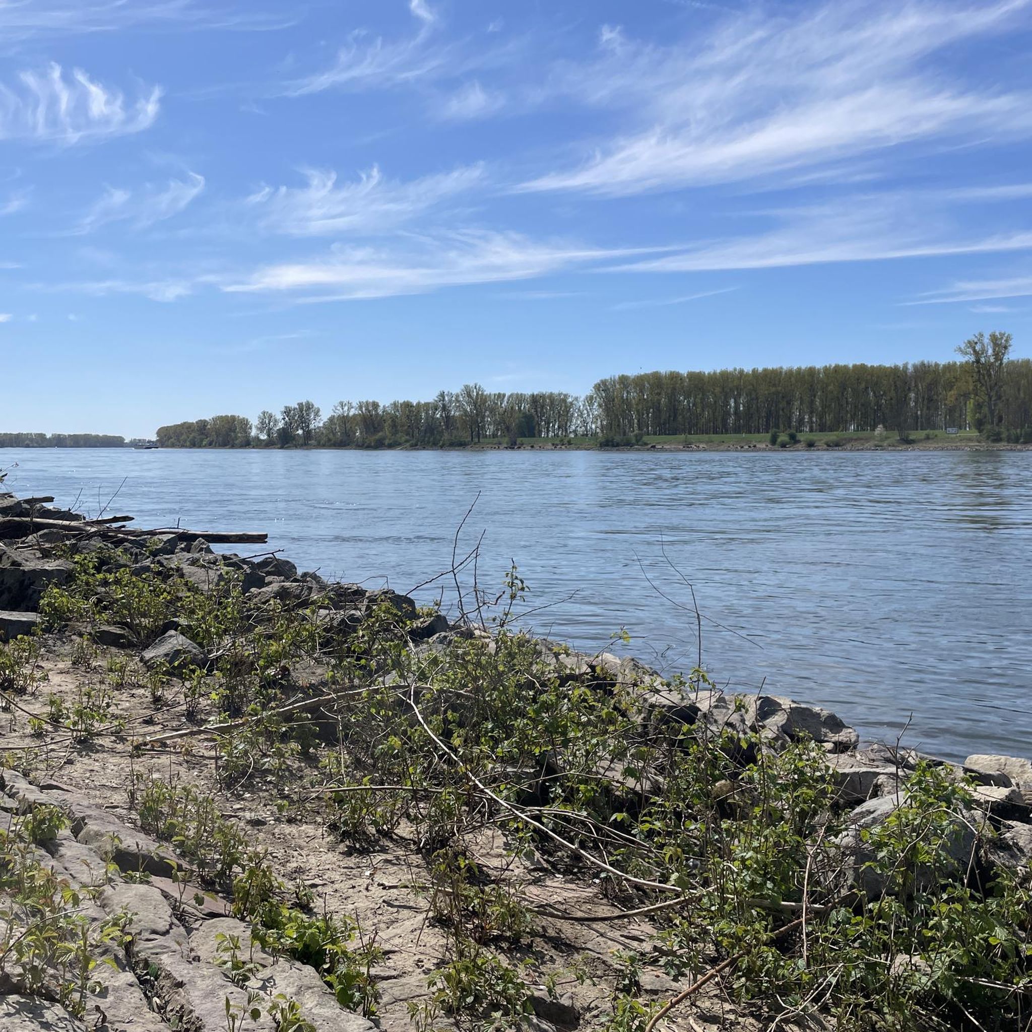
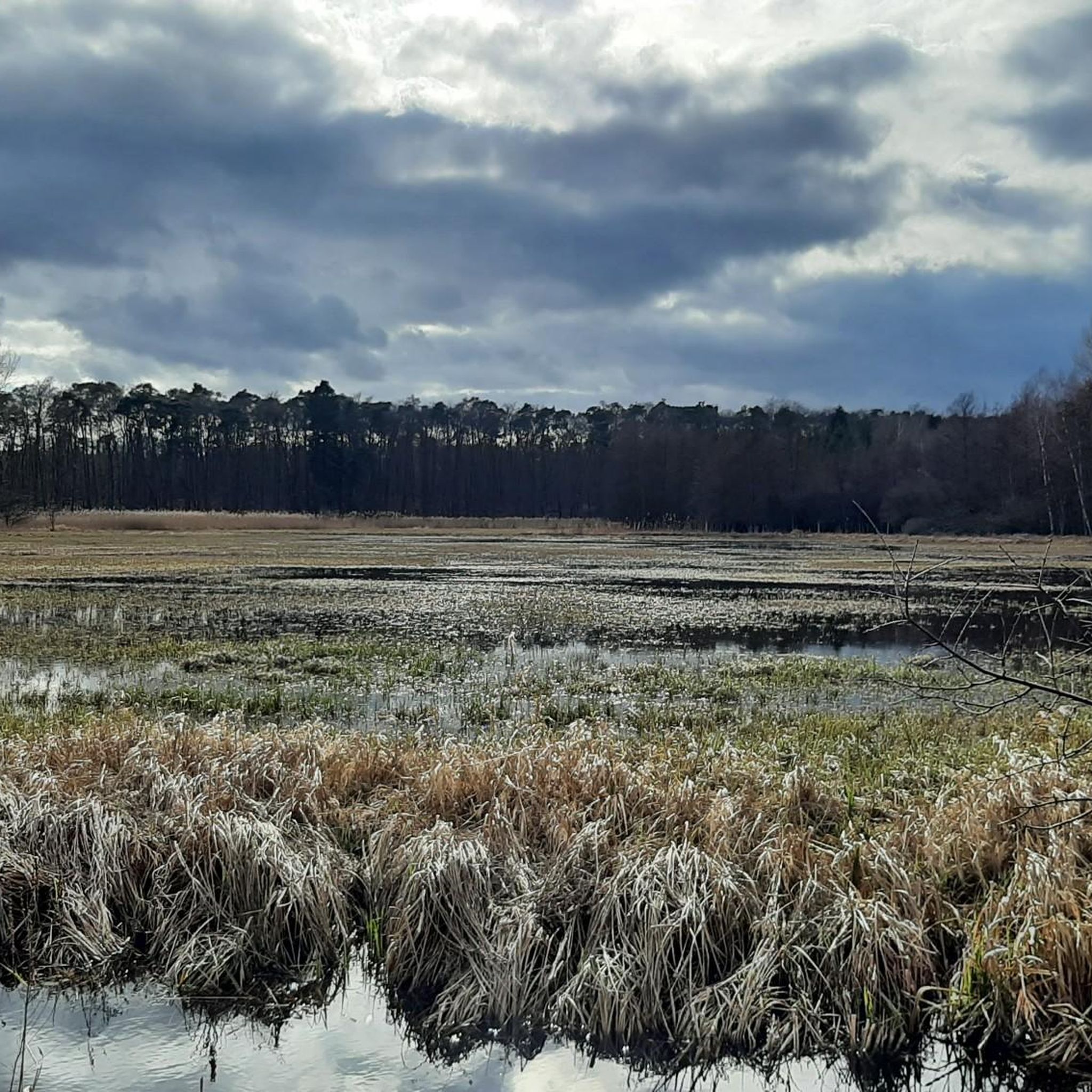
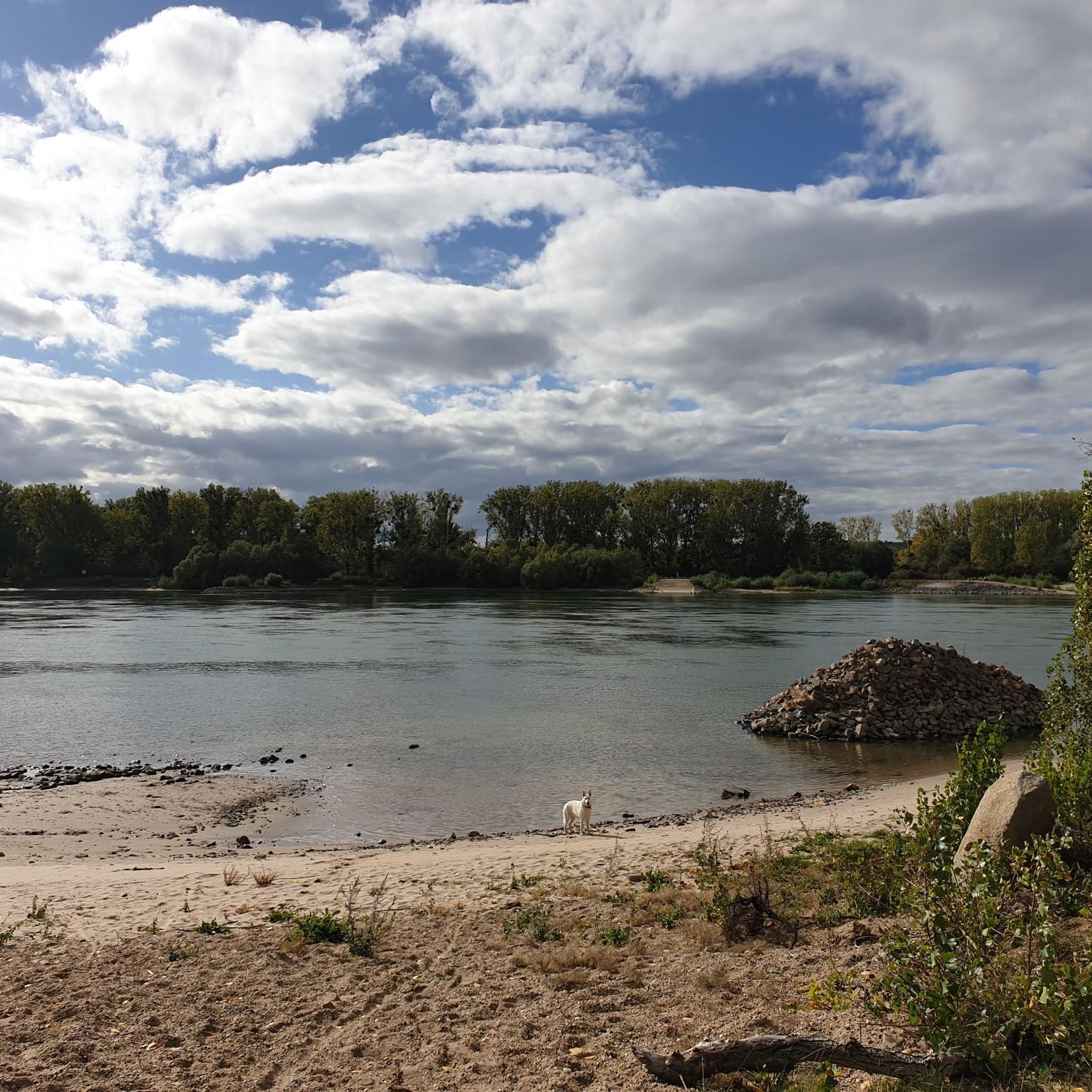
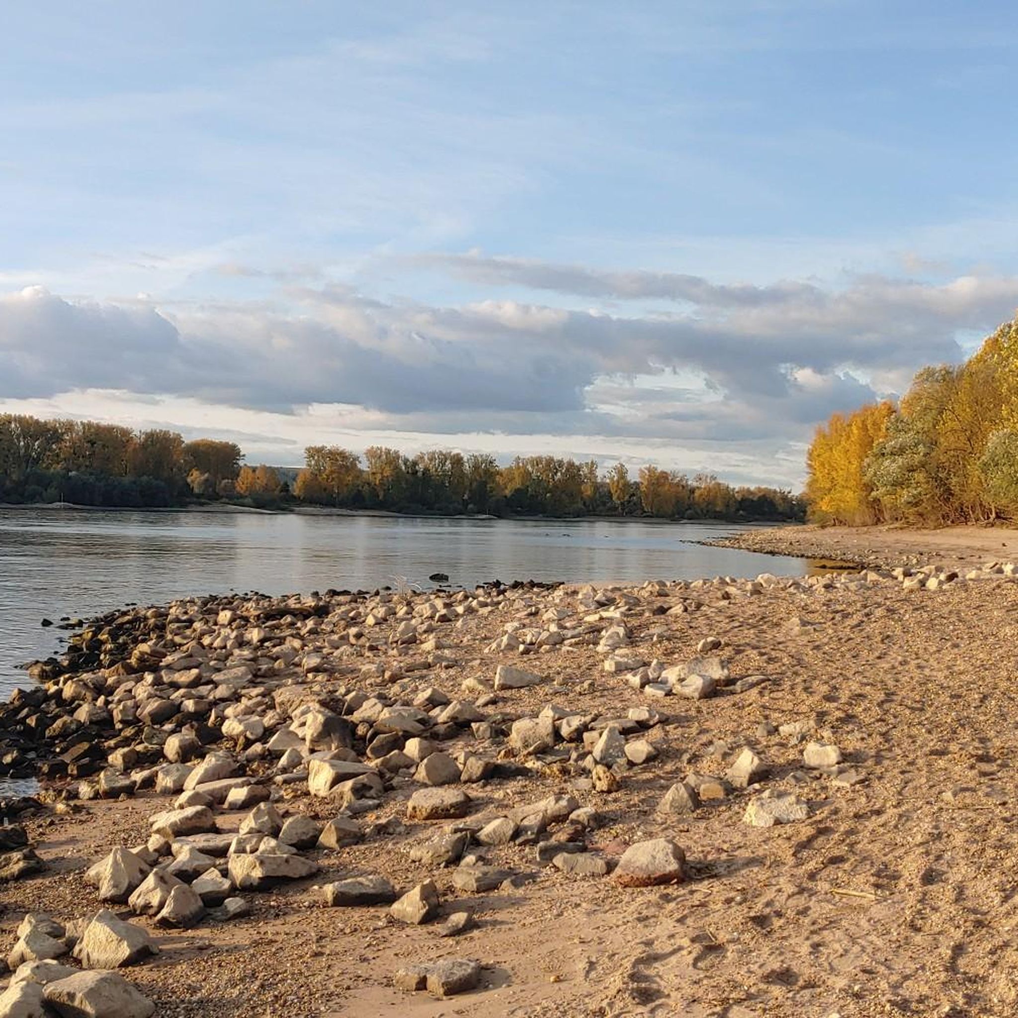
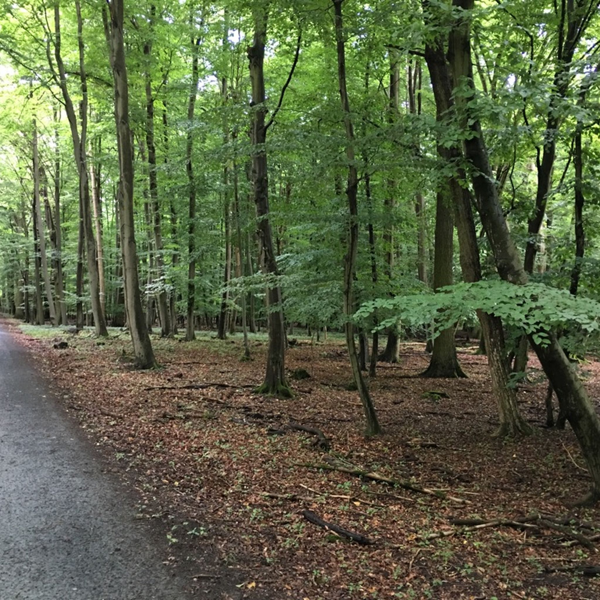
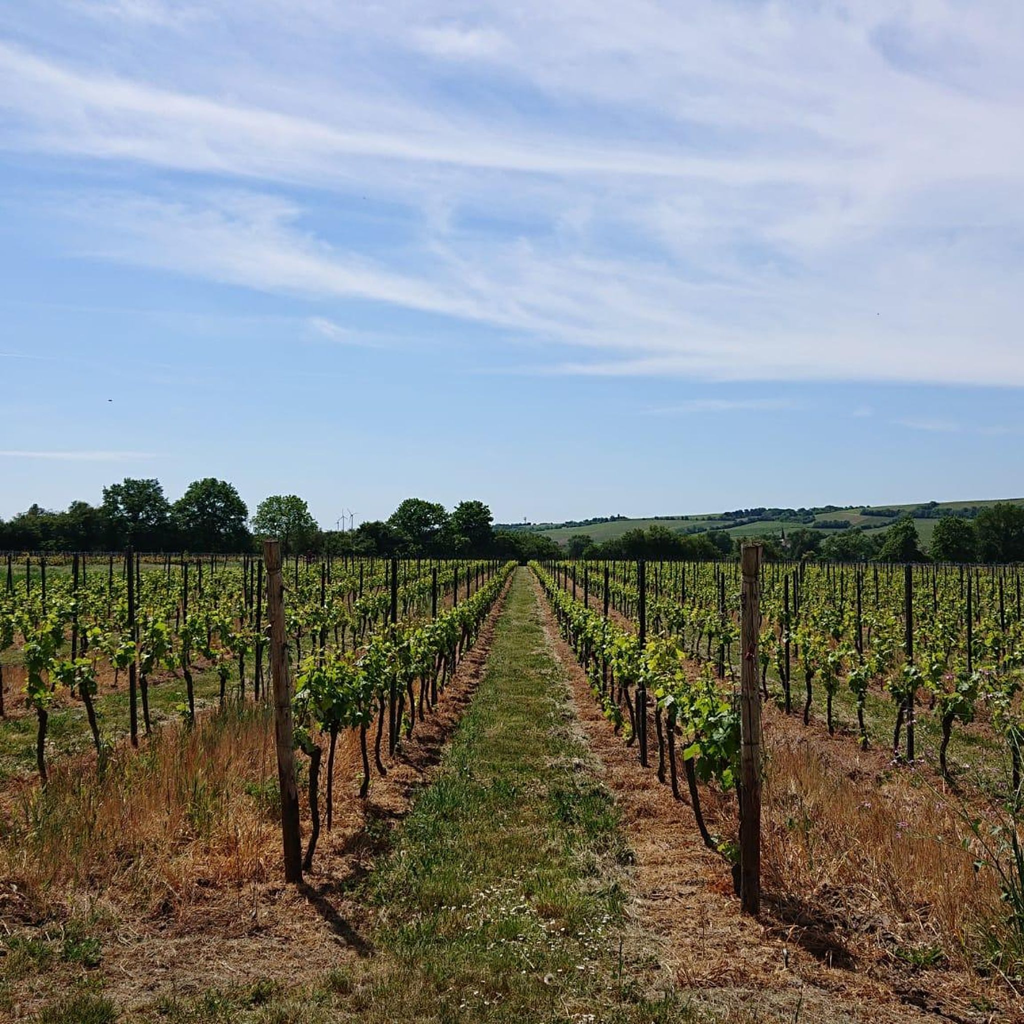
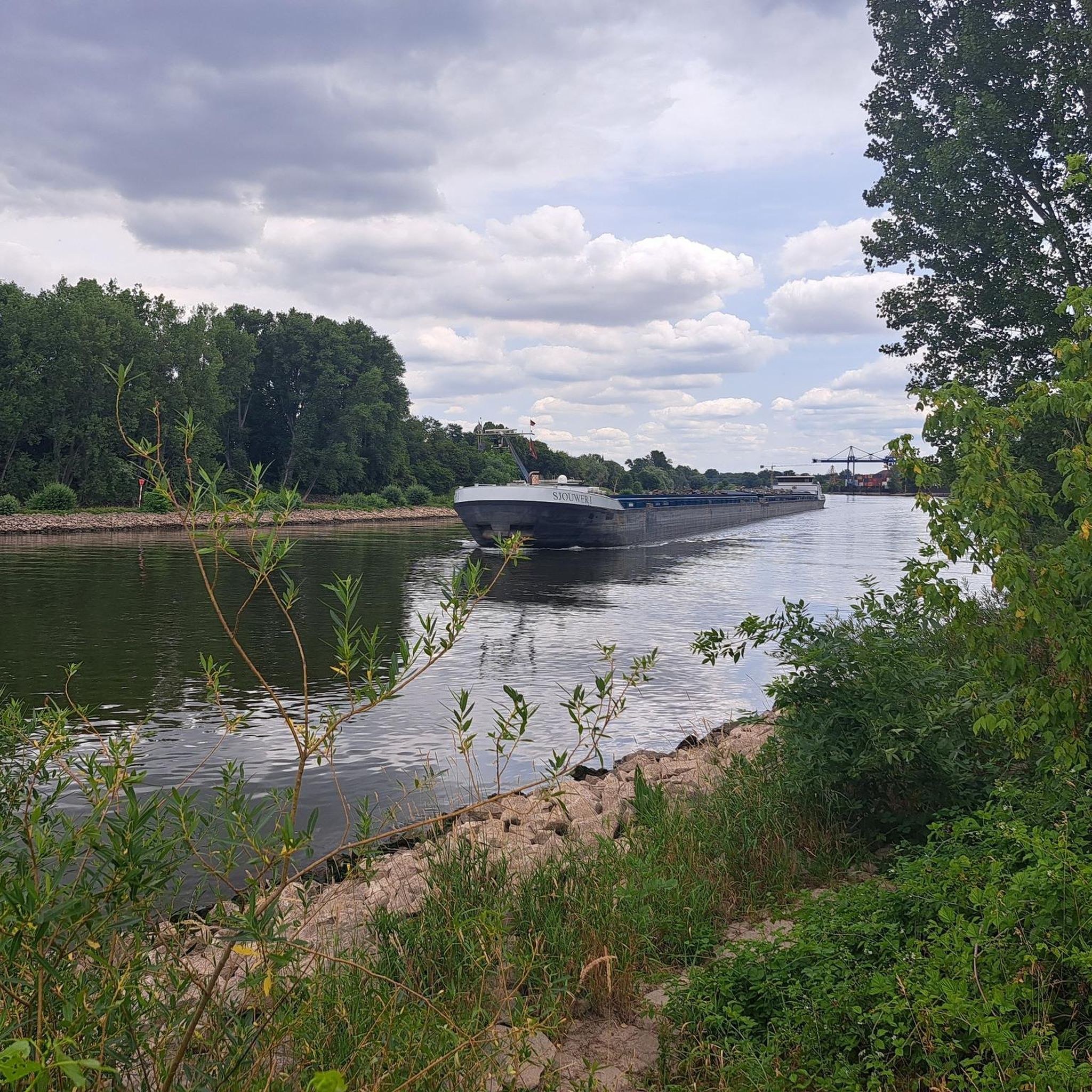
Other adventures in Kreis Groß-Gerau


Tips from the Community

Here you can relax a bit and watch the ships on the Rhine.
0
0
Here is also an interesting information board about the life of: „Elisabeth Langgässer”.
0
0
From the parking lot, there are many options for various tours.
0
0
It is quite interesting what information you can get on the bike tour through the Ried.
0
0
It becomes clear here that the forest is not managed here.
2
0
In spring, during the apple blossom, it is wonderfully beautiful here.
0
0
Here you learn quite a bit about the Rhine.
0
0

Magnificent river landscape with old trees and the tracks of the great builder Beaver
0
0
Frequently Asked Questions
How many hiking trails are available in Kreis Groß-Gerau?
Kreis Groß-Gerau offers a wide selection of hiking routes, with over 1400 trails recorded on komoot. This includes more than 1100 easy routes, 300 moderate routes, and a few more challenging options, ensuring there's something for every hiker.
What kind of terrain and difficulty can I expect on hikes in Kreis Groß-Gerau?
The region is primarily characterized by the flat terrain of the Upper Rhine Plain, making most hikes relatively easy with minimal elevation gain. You'll find diverse landscapes, including extensive riverine areas along the Rhine and Main, as well as unique floodplain forests and nature reserves. While most routes are suitable for all fitness levels, some moderate trails offer slightly longer distances through varied natural environments.
Are there any family-friendly hiking options in Kreis Groß-Gerau?
Yes, Kreis Groß-Gerau has attractive hiking options for families. The generally flat terrain and well-maintained paths make many routes accessible for children. The region research mentions trails like the 'Abenteuer im Wald' (Adventure in the Forest) which features exciting stations for children to explore nature playfully. Many of the easy routes listed on komoot are also suitable for families.
Can I bring my dog on the hiking trails in Kreis Groß-Gerau?
Many hiking trails in Kreis Groß-Gerau are dog-friendly, especially those through forests and along riverbanks. However, it's always recommended to keep dogs on a leash, particularly in nature reserves like Kühkopf-Knoblochsaue and Mönchbruch, to protect local wildlife and ensure a pleasant experience for all visitors. Always check local signage for specific rules.
What natural features or landmarks can I discover while hiking?
While hiking in Kreis Groß-Gerau, you can explore significant natural features such as the scenic riverbanks of the Rhine and Main, and the unique floodplain forests of the Kühkopf-Knoblochsaue and Mönchbruch Nature Reserves. Notable landmarks include the Stockstadt–Erfelden Old Rhine at Kühkopf-Knoblochsaue, the Mönchbruch Nature Reserve Observation Tower, and the Mainspitze where the Main river meets the Rhine.
Are there any circular hiking routes in the region?
Yes, Kreis Groß-Gerau offers numerous circular hiking routes. Examples include The hardwood floodplain loop from Fischsee, The hardwood floodplain – Martin-Roth Bridge loop from Riedstadt, and the Swedish Column observation tower loop from Stockstadt am Rhein. These loops allow you to start and end at the same point, making planning convenient.
What is the best time of year to go hiking in Kreis Groß-Gerau?
The flat terrain of Kreis Groß-Gerau makes it suitable for hiking almost year-round. Spring and autumn offer pleasant temperatures and beautiful natural colors, especially in the floodplain forests. Summer is also great for exploring the riverine landscapes, though it can be warmer. Even in winter, many trails are accessible for walks, offering a different, tranquil experience.
Are there easy hiking trails suitable for beginners or casual walkers?
Absolutely. Over 1100 of the routes in Kreis Groß-Gerau are classified as easy, making them perfect for beginners, casual walkers, or those looking for a relaxed stroll. These trails typically have minimal elevation gain and are well-suited for enjoying nature without strenuous effort. An example is the Schwedensäule Parking Area – Mouth of the Altrhein loop from Bruderlöcher.
What do other hikers say about their experiences in Kreis Groß-Gerau?
The hiking experiences in Kreis Groß-Gerau are highly rated by the komoot community, with an average score of 4.5 stars from over 5000 reviews. Hikers often praise the region's peaceful riverine landscapes, the unique floodplain forests, and the well-maintained paths that offer a refreshing escape into nature.
Are there opportunities to see wildlife during a hike?
Yes, especially in the nature reserves like Kühkopf-Knoblochsaue and Mönchbruch. These areas are rich in biodiversity, offering chances to observe various bird species, and potentially even wild boars and storks, as mentioned for the Elisabeth-Langgässer Wanderweg. The floodplain forests provide unique ecosystems for wildlife spotting.
Where can I find parking for hiking trails in Kreis Groß-Gerau?
Many popular hiking areas and trailheads in Kreis Groß-Gerau offer designated parking facilities. For instance, the region research mentions the 'Parkplatz Schwedensäule' as a starting point for a loop near Bruderlöcher. When planning your hike on komoot, you can often find information about parking options near the starting points of specific routes.
Are there any trails accessible by public transport?
Yes, some hiking trails in Kreis Groß-Gerau are accessible via public transport, particularly those closer to towns and villages. The region's infrastructure often allows for convenient access to natural areas. It's advisable to check local bus or train schedules in conjunction with your chosen trailhead for the most up-to-date public transport information.
Can I find places to eat or drink near the hiking routes?
Yes, you can often find cafes, restaurants, or traditional German 'Gasthäuser' in the towns and villages adjacent to the hiking trails. Some routes might also pass by specific huts or forester's houses, such as the Kühkopf Forester's House, which may offer refreshments. Planning your route with komoot can help identify amenities along the way.
Most popular routes in Kreis Groß-Gerau
Most popular attractions in Kreis Groß-Gerau

Get inspired with the komoot mobile app


Didn’t find what you were looking for?
Check out more Hikes throughout Kreis Groß-Gerau below and find the perfect route in your destination.
Explore more
Browse the best Hikes in other regions.
