The 3 Most Amazing Peaks around Niederdorfelden
Best mountain peaks around Niederdorfelden are found in a region characterized by its proximity to the Taunus mountain range foreland, northeast of Frankfurt. While the area does not feature towering summits, it offers elevated viewpoints and historical sites that provide expansive vistas. These locations serve as popular destinations for those seeking local high points and scenic outlooks near the city. The landscape provides opportunities for various outdoor activities, including hiking trails Niederdorfelden.
Best mountain peaks around Niederdorfelden
- The most popular…
Last updated: May 20, 2026
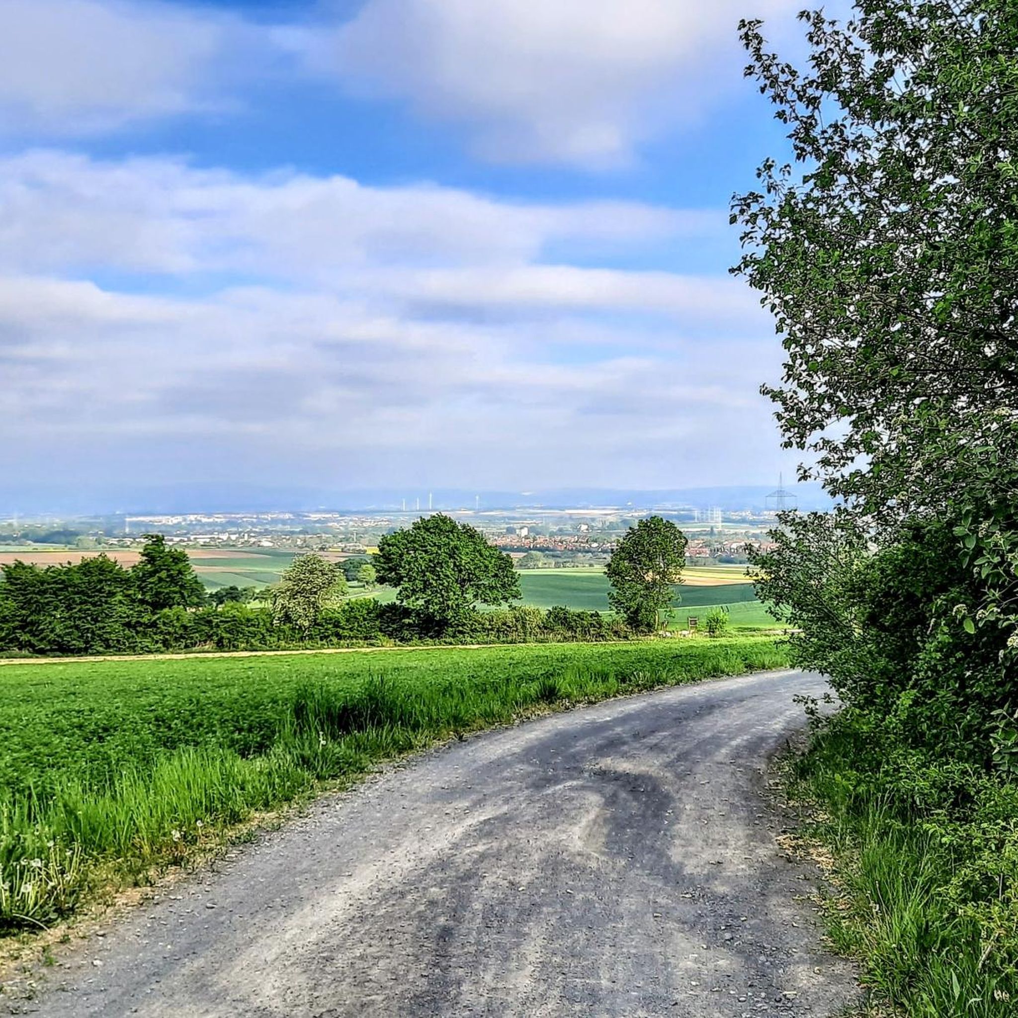
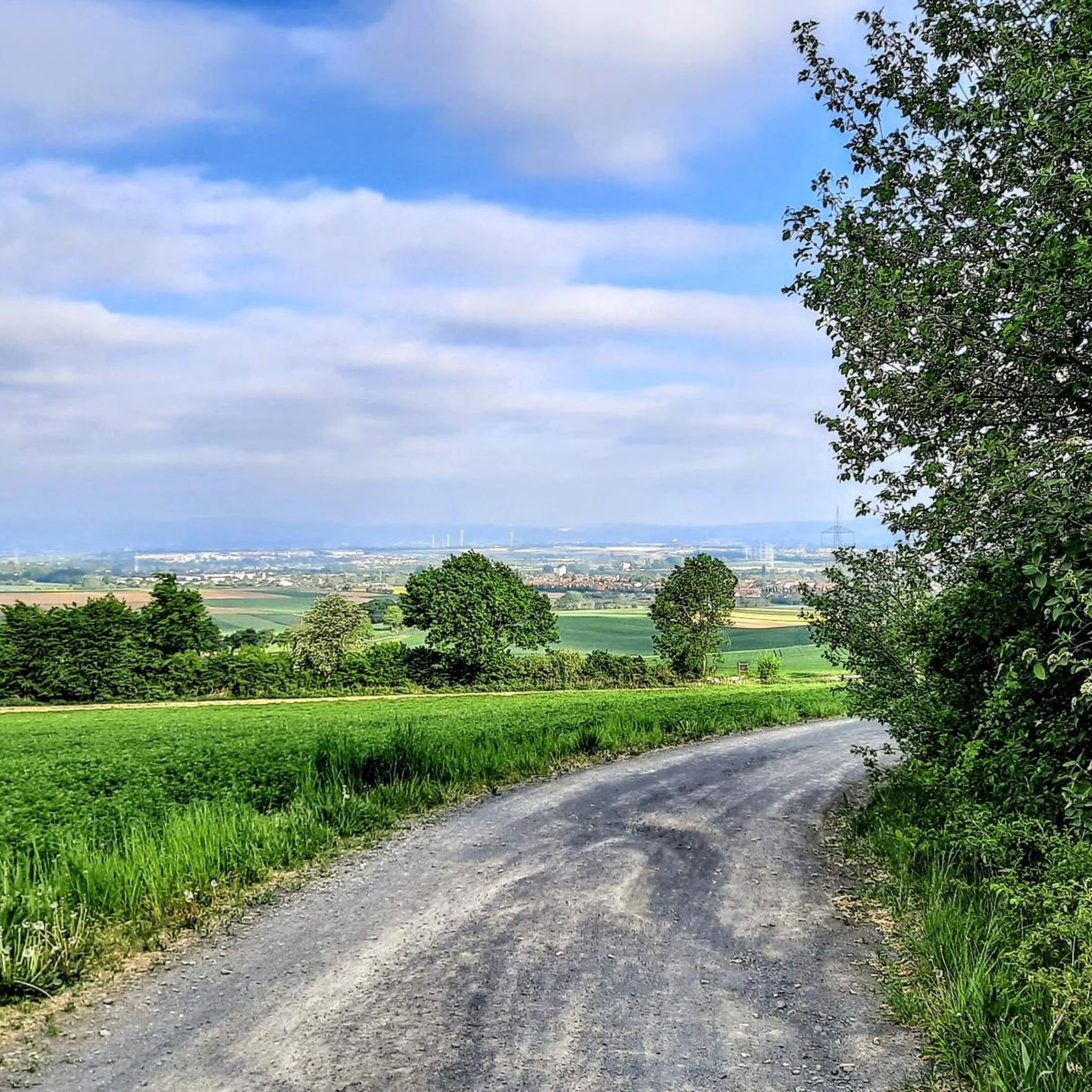
View of the Frankfurt skyline from Lohrberg
Highlight • Viewpoint
Translated by Google •
Tip by

Friedberger Warte
Highlight • Historical Site
From 2015 to 2017, the place at the waiting room was redesigned so …
Translated by Google •
Tip by

Sign up now to discover places like this
Get recommendations on the best single tracks, peaks, & plenty of other exciting outdoor places.
Sign up for free
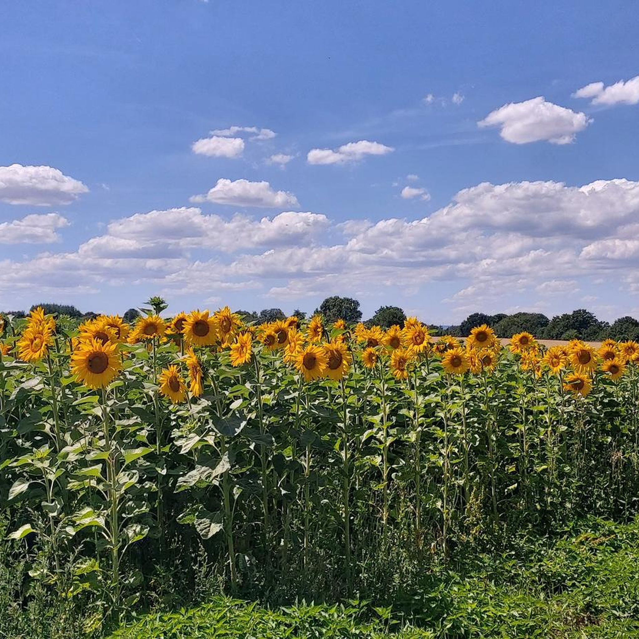
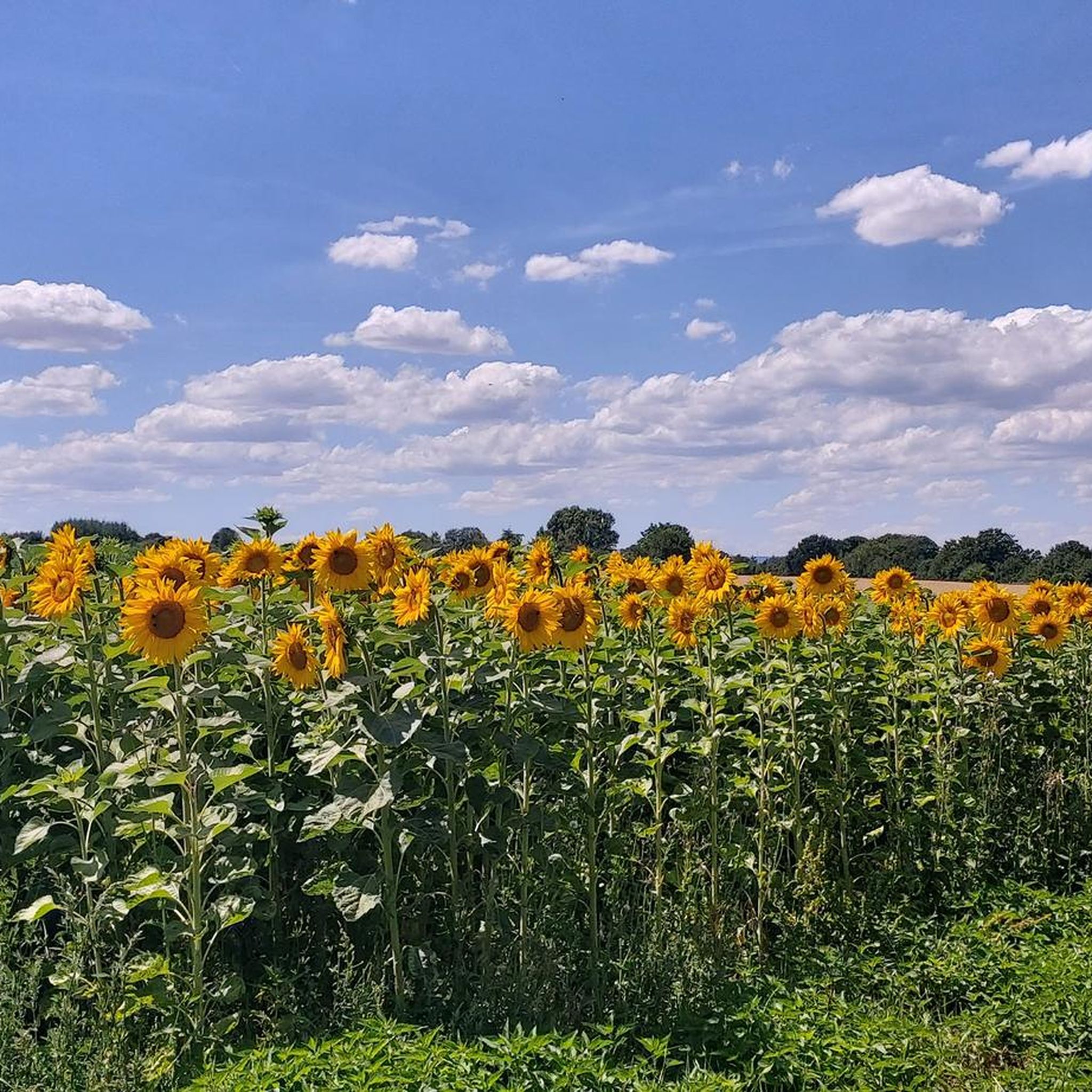
Summit of the Mühlheim Gailenberg
Highlight • Summit
Translated by Google •
Tip by

Schneckenberg (Grix Landfill), Highest Point in Offenbach
Highlight • Summit
Translated by Google •
Tip by

Start today with a free account
Your next adventure awaits.
Login or Signup
Tips from the Community

The Schneckenberg is the highest elevation in Offenbach. However, it is not a natural "mountain." The highest natural elevation is still the "Bieberer Berg" at approximately 130 meters above sea level.
1
0

Between the entrances to the current Friedberger Warte restaurant and the Wehrhof there is a walled-in draw well. Its base is made of natural stone, its body and the arch that covers it are made of red sandstone. The well opening is protected by a conical wooden roof.
1
0
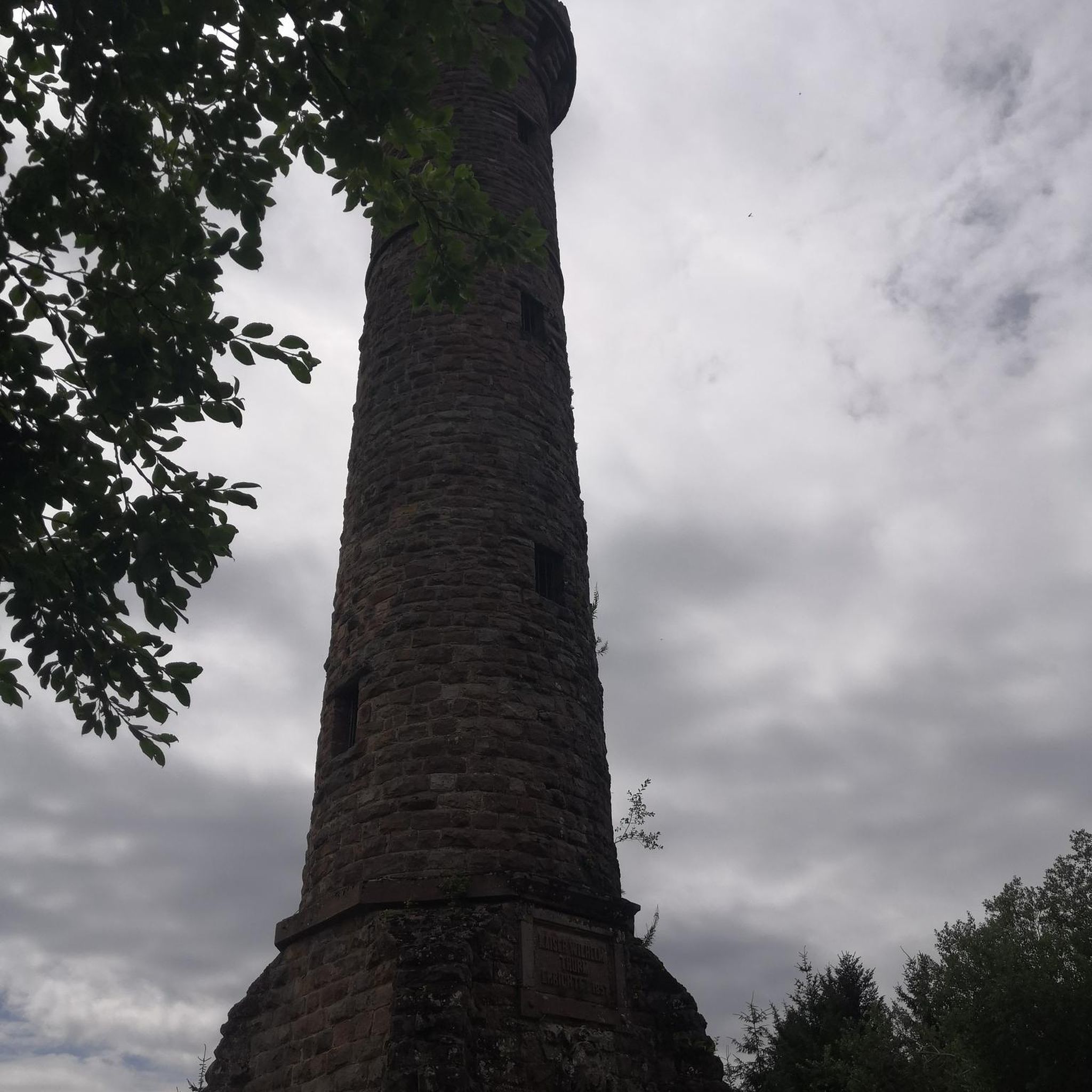
The current Friedberger Warte was built in 1478 in late Gothic style, replacing a watchtower mentioned as early as 1350, as the last watchtower of the Frankfurt Landwehr on the Eulenberg, the highest point in Bornheim. The complex consists of a rectangular fortified courtyard with a rectangular floor plan measuring 22 by 28 meters. On the west side is the guardhouse with kitchen and well room. The most striking component is the slender defensive and watchtower with a slate roof. The Friedberger Warte was only once the scene of a military conflict: in 1546, the people of Frankfurt repelled imperial troops here during the Schmalkaldic War. In 1634, during the Thirty Years' War, the tower and fortified courtyard were set on fire by wandering Croats. The Friedberger Warte was rebuilt in 1637. It later served as a customs station and fire watch. A popular apple wine bar has been located here since 1815. The tower has served as a ventilation shaft for the sewer system since 1885.
0
0

a garbage mountain, highest elevation next to the Bieberer Berg
1
0
The Gailenberg nature reserve has so many special features. It's great that there are some information boards with explanations, great.
1
0
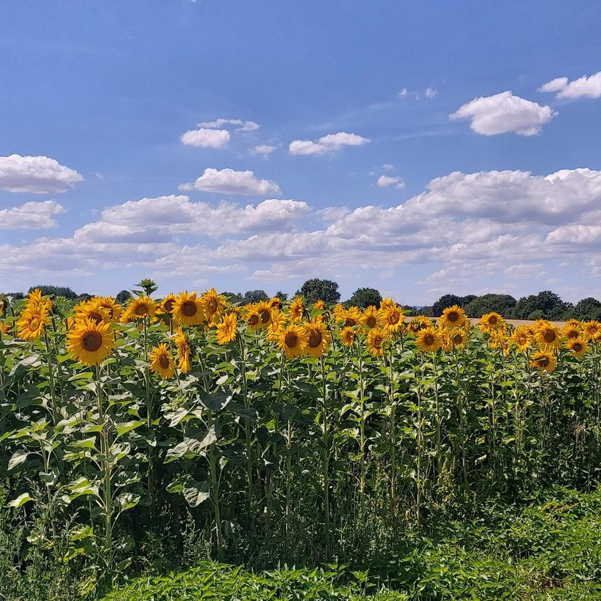
It is a very flat hill in a very sandy area. Wine has been grown here very successfully for several years.
1
0
The “Gailenberg” is a very interesting biotope. It is important to preserve a habitat for rare fauna and flora here.
1
0

There is a barbecue area, a restaurant and a playground for the little ones. And on top of that a wonderful view.
9
0
Frequently Asked Questions
What are some popular elevated viewpoints around Niederdorfelden?
The most popular elevated spot is the View of the Frankfurt skyline from Lohrberg, offering a panoramic view of the city. Another notable location is the Summit of the Mühlheim Gailenberg, known for its natural beauty and unique dry biotope.
Are there any historical sites on elevated ground near Niederdorfelden?
Yes, the Friedberger Warte is a significant historical site. This watchtower, built in 1478, served as a lookout for the Frankfurt Landwehr and features a guard house and a slender defense tower.
What kind of natural features can I expect to see at these elevated points?
At the Summit of the Mühlheim Gailenberg, you'll find an area mostly overgrown with fruit trees and an exceptional dry biotope with rare plants, explained by a teaching board. The Lohrberg area also features the last wine-growing area in Frankfurt.
Are there family-friendly elevated spots to visit near Niederdorfelden?
Absolutely. The View of the Frankfurt skyline from Lohrberg is family-friendly, offering restaurants and a playground nearby. The Friedberger Warte and the Summit of the Mühlheim Gailenberg are also suitable for families.
What outdoor activities can I do near these elevated points?
The region around Niederdorfelden is excellent for various outdoor activities. You can find numerous routes for hiking, gravel biking, and running. For detailed routes, explore the Hiking around Niederdorfelden, Gravel biking around Niederdorfelden, and Running Trails around Niederdorfelden guides.
Are there hiking trails around Niederdorfelden's elevated areas?
Yes, there are many hiking trails. For example, you can find routes like the 'View of the Frankfurt skyline – Große Loh Steles loop' or the 'Sundowner Place Hohe Loh – View of the Frankfurt Skyline loop'. Discover more options in the Hiking around Niederdorfelden guide.
Are there easy hiking options for beginners near Niederdorfelden?
Yes, several easy routes are available. The 'View of the Frankfurt skyline – View of the Frankfurt Skyline loop from Große Loh' is an easy 7.4 km hike. You can find more beginner-friendly options in the Hiking around Niederdorfelden guide.
Can I find circular walks around these elevated points?
Yes, many routes are designed as circular walks. For instance, the 'View of the Frankfurt skyline – Große Loh Steles loop' is a circular hike. Check the Hiking around Niederdorfelden guide for a variety of circular routes.
What is the best time to visit the elevated viewpoints around Niederdorfelden?
The elevated viewpoints, such as the Lohrberg, are enjoyable year-round. Spring and autumn offer pleasant temperatures for outdoor activities and clear views. Summer evenings are popular for enjoying the skyline, while winter can provide unique, crisp vistas.
Are there places to eat or drink near these elevated spots?
Yes, the View of the Frankfurt skyline from Lohrberg is known for having great restaurants nearby, making it a cozy destination. The Friedberger Warte also has a restaurant on-site.
Is there parking available at these locations?
Yes, parking is available at some of these locations. The View of the Frankfurt skyline from Lohrberg is reachable by car, indicating parking facilities. For other spots, it's advisable to check specific route details on komoot.
What do visitors enjoy most about the elevated points near Niederdorfelden?
Visitors particularly appreciate the panoramic views, especially the Frankfurt skyline from Lohrberg. The historical significance of sites like Friedberger Warte and the unique natural aspects of the Mühlheim Gailenberg, such as its dry biotope and fruit trees, are also highly valued.
Most popular routes around Niederdorfelden
Most popular attractions around Niederdorfelden

Get inspired with the komoot mobile app


Explore more
See even more amazing summits around Niederdorfelden with these guides:
