The best gravel rides around Niederdorfelden
4.4
(478)
2,283
riders
89
rides
Gravel biking around Niederdorfelden offers a network of routes primarily following river valleys and established cycle paths. The region is characterized by relatively flat terrain along the Nidda River, with gentle ascents into surrounding agricultural areas and woodlands. These trails provide varied surfaces suitable for gravel bikes, ranging from paved sections to compacted gravel and dirt paths. The Nidda River landscape, including renatured sections, provides a relaxing environment for cycling.
Best gravel bike trails around Niederdorfelden
- The most popular gravel…
Last updated: October 6, 2026
5.0
(2)
11
riders
60.3km
03:36
340m
340m
Hard gravel ride. Good fitness required. You may need to push your bike for some segments of this route.
5.0
(4)
25
riders
45.6km
02:42
550m
550m
Hard gravel ride. Very good fitness required. Mostly paved surfaces. Suitable for all skill levels.

5.0
(1)
16
riders
38.3km
02:16
400m
400m
Moderate gravel ride. Good fitness required. Mostly paved surfaces. Suitable for all skill levels.
4.0
(4)
26
riders
46.5km
02:48
570m
570m
Hard gravel ride. Very good fitness required. Mostly paved surfaces. Suitable for all skill levels.
4.3
(3)
32
riders
57.6km
03:09
130m
130m
Moderate gravel ride. Good fitness required. Mostly paved surfaces. Suitable for all skill levels.
Get access to more routes and recommendations from other explorers.
Already have an account?
Our route recommendations are based on thousands of hikes, rides, and runs completed by other people on komoot.
Start today with a free account
Your next adventure awaits.
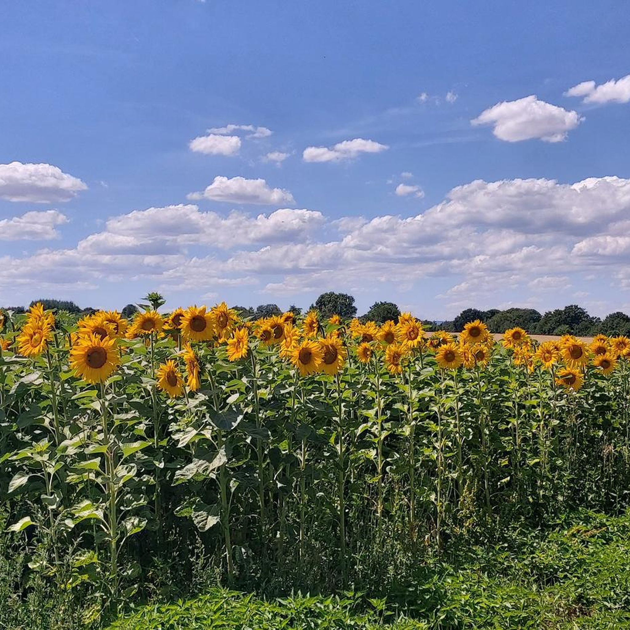
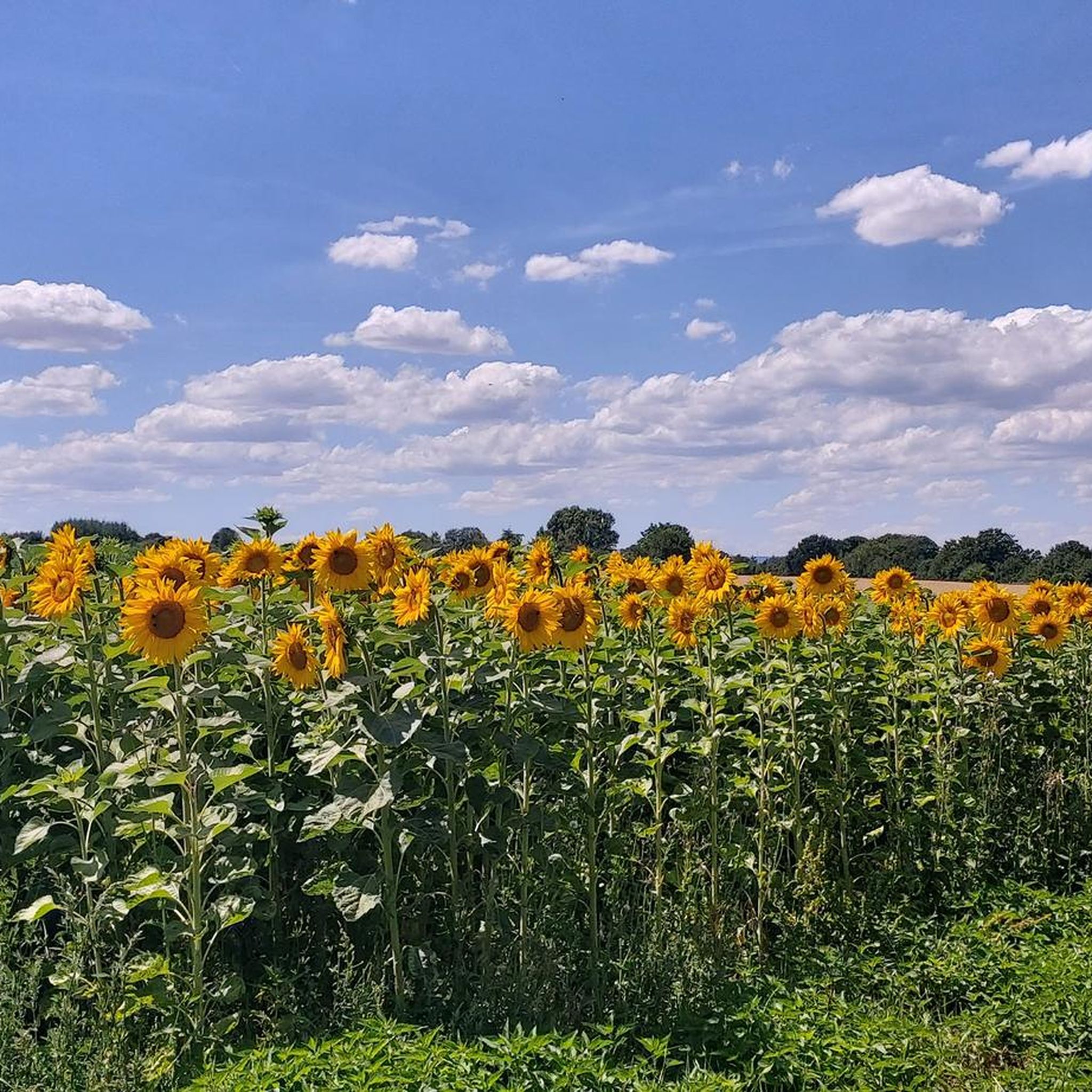
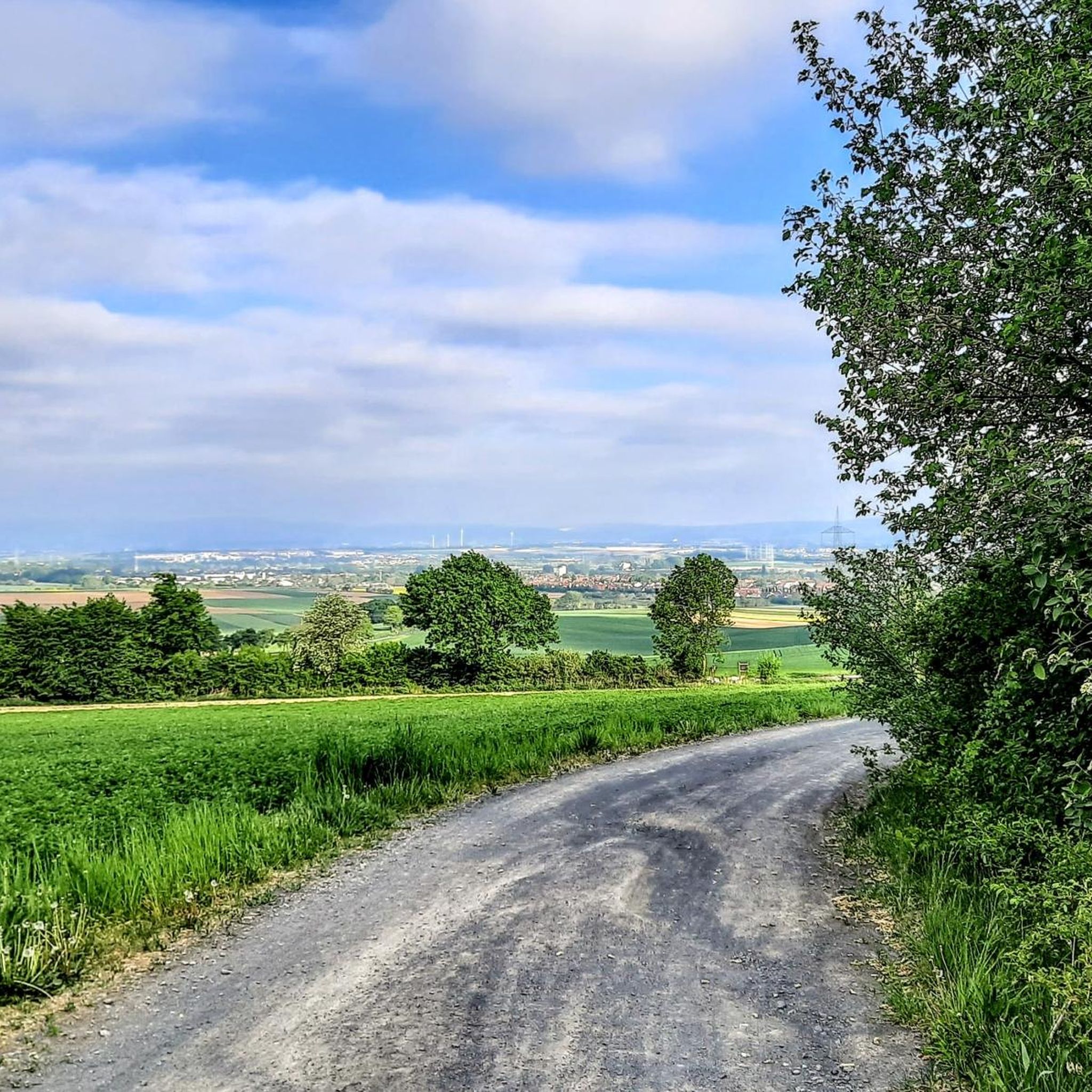
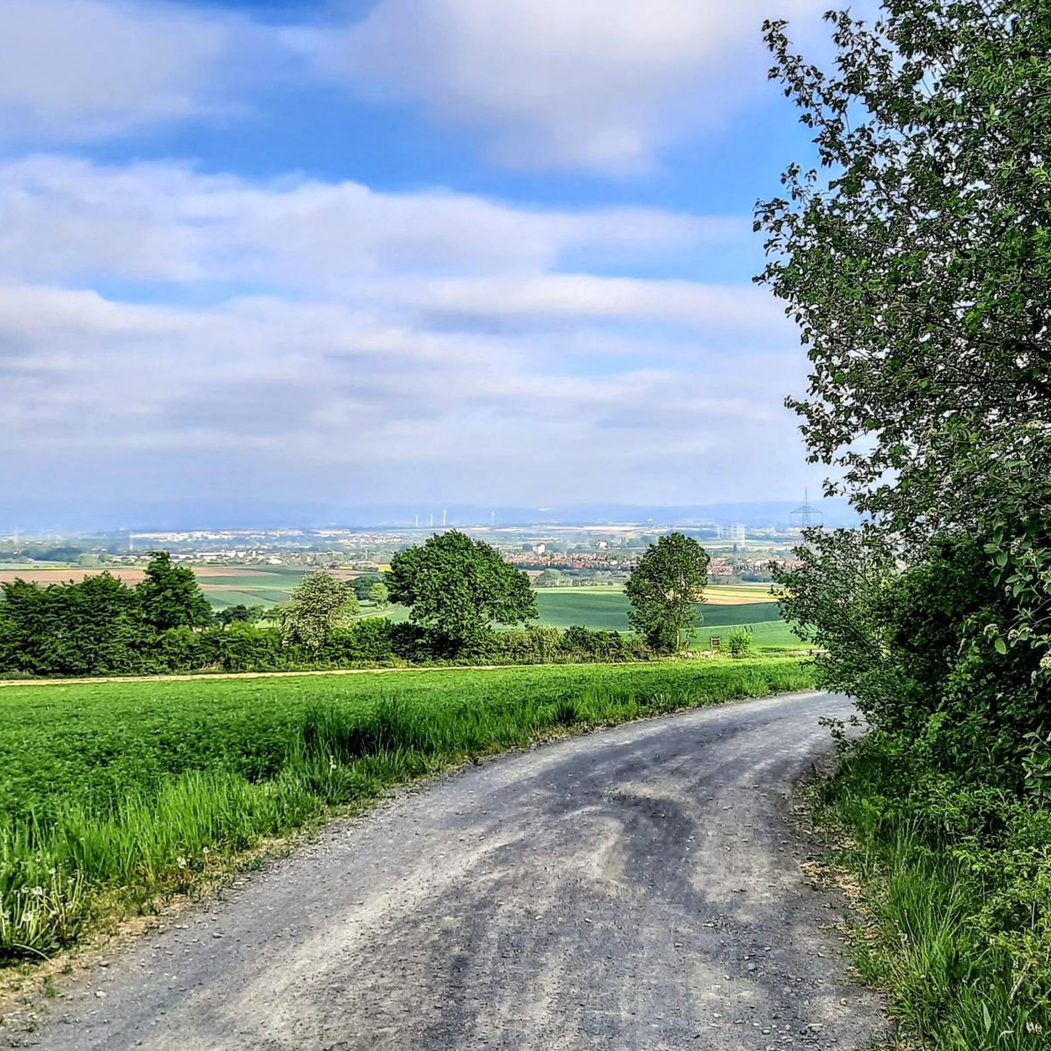
Tips from the Community

Beautiful trail
0
0

It is pleasant to cycle here in any season.
2
0

it's beautifully rustic here
0
0

The Erlenbach originates northeast of the Sandplacken in the Taunus and flows into the Nidda west of Bad Vilbel after about 30 kilometers. It owes its name to the alders that once lined its banks. The extensive riparian forests offer diverse breeding and nesting opportunities for a variety of birds. While kingfishers and golden orioles frolic on the banks, chub, roach, and sticklebacks live beneath the water's surface.
2
0
Great how the Nidda meanders through the landscape here. After years of renaturation efforts, numerous animal and plant species find their habitat in the species-rich floodplains. Kingfishers, beavers, and even the European pond turtle have been able to resettle here.
3
0


Safe crossing of the B456 at Saalburg, direction Friedrichsdorf, Köppern or Saalburg, Obernhain, Hessenpark, Usingen, Usatal Radweg
0
0

Beautiful path along the Kinzig river.
0
0
Frequently Asked Questions
What types of gravel bike trails can I find around Niederdorfelden?
The region offers a diverse network of gravel bike trails, primarily following river valleys like the Nidda and established cycle paths. You'll encounter varied surfaces, from paved sections to compacted gravel and dirt paths, suitable for different skill levels. There are over 170 routes available, with options ranging from easy riverside loops to more challenging long-distance trails.
Are there easy gravel bike routes suitable for beginners or families?
Yes, Niederdorfelden has 21 easy gravel bike routes perfect for beginners or families. These routes often follow the relatively flat terrain along the Nidda River, providing a gentle introduction to gravel biking. A good option is the Bad Vilbel Moated Castle – Nidda River Nature Reserve loop from Bad Vilbel, which is 15.9 miles (25.5 km) and takes about 1 hour 43 minutes through riverine landscapes.
What are the typical lengths and durations of gravel bike trails in Niederdorfelden?
Gravel bike trails in Niederdorfelden vary significantly in length and duration. You can find shorter routes, like the Bad Vilbel Moated Castle – Nidda River Nature Reserve loop from Bad Vilbel at 15.9 miles (25.5 km) taking under two hours, up to longer, more challenging rides such as the Birkenhainer Trail – Barbarossa Spring loop from Maintal West, which is 39.3 miles (63.2 km) and typically takes over 3.5 hours.
Are there challenging gravel bike routes for experienced riders?
Absolutely. For experienced riders seeking a challenge, there are 58 difficult routes available. These often include more significant ascents into surrounding agricultural areas and woodlands. The Birkenhainer Trail – Barbarossa Spring loop from Maintal West is a notable difficult route, spanning 39.3 miles (63.2 km) and exploring historical trails with varied terrain.
What kind of scenery and landmarks can I expect to see along the gravel bike trails?
Many routes follow the scenic Nidda River, offering views of riverine landscapes and nature reserves. You can also encounter historical sites and cultural landmarks. For instance, the Bad Vilbel Moated Castle – Nidda River Nature Reserve loop from Bad Vilbel passes by the Vilbel Castle with moat. Other routes might lead you past the Baroque Philippsruhe Palace or the Old Town of Steinheim am Main.
Are there any circular gravel bike routes around Niederdorfelden?
Yes, many of the gravel bike routes around Niederdorfelden are designed as loops, allowing you to start and end at the same point. For example, the Nidda River – Nidda Cycle Path loop from Dortelweil is a moderate 31.8 miles (51.2 km) route that explores the river landscape.
What do other gravel bikers say about the trails in Niederdorfelden?
The gravel biking routes in Niederdorfelden are highly regarded by the komoot community, with an average rating of 4.5 stars from over 600 reviews. Many riders praise the well-maintained paths, the scenic river valleys, and the variety of terrain that caters to different skill levels.
What are the trail conditions like for gravel biking in Niederdorfelden?
The trails feature varied surfaces, including paved sections, compacted gravel, and dirt paths. These conditions are generally well-suited for gravel bikes, offering a mix of smooth riding and light off-road adventure. The routes are typically well-maintained, especially along the established cycle paths.
Are there any routes that pass by historical sites or cultural attractions?
Yes, several routes incorporate historical and cultural points of interest. For example, the Saalburg Roman fort – Bad Homburg city forest loop from Bad Vilbel is a moderate 23.6 miles (37.9 km) route that can take you near the historic Philippsruhe Palace and the Wilhelmsbad State Park.
When is the best time of year to go gravel biking in Niederdorfelden?
The region is generally pleasant for gravel biking from spring through autumn, when the weather is mild and the trails are dry. Summer offers longer daylight hours, while spring and autumn provide beautiful scenery with blooming nature or colorful foliage. Winter riding is possible, but some unpaved sections might be muddy or icy, so checking local conditions is advisable.
Most popular routes around Niederdorfelden
Most popular attractions around Niederdorfelden

Get inspired with the komoot mobile app


Explore more
Browse the best Gravel rides in other regions.
