The best road cycling routes in Tiglitzer Forst
4.5
(65)
529
riders
46
rides
Road cycling routes in Tiglitzer Forst are primarily found on public roads and designated paths adjacent to or bordering the military training area. The broader Saxony region offers diverse cycling terrain, including routes along rivers and through varied landscapes. While direct access within the core of Tiglitzer Forst is restricted, the surrounding areas provide suitable conditions for road cycling. These routes are often paved and cater to various fitness levels.
Best road cycling routes in Tiglitzer Forst
- The most popular…
Last updated: October 4, 2026
5.0
(1)
21
riders
49.9km
01:55
100m
100m
Easy road ride. Great for any fitness level. Mostly well-paved surfaces and easy to ride.
3.0
(1)
9
riders
21.0km
00:58
70m
70m
Moderate road ride. Great for any fitness level. Some segments of this route may be unpaved and difficult to ride.

3.5
(2)
8
riders
17.8km
00:44
70m
70m
Moderate road ride. Great for any fitness level. Some segments of this route may be unpaved and difficult to ride.
3.6
(5)
44
riders
41.1km
01:42
100m
100m
Moderate road ride. Great for any fitness level. Some segments of this route may be unpaved and difficult to ride.
4.0
(1)
27
riders
64.1km
02:29
140m
140m
Moderate road ride. Good fitness required. Mostly well-paved surfaces and easy to ride.
Get access to more routes and recommendations from other explorers.
Already have an account?
Our route recommendations are based on thousands of hikes, rides, and runs completed by other people on komoot.
Start today with a free account
Your next adventure awaits.
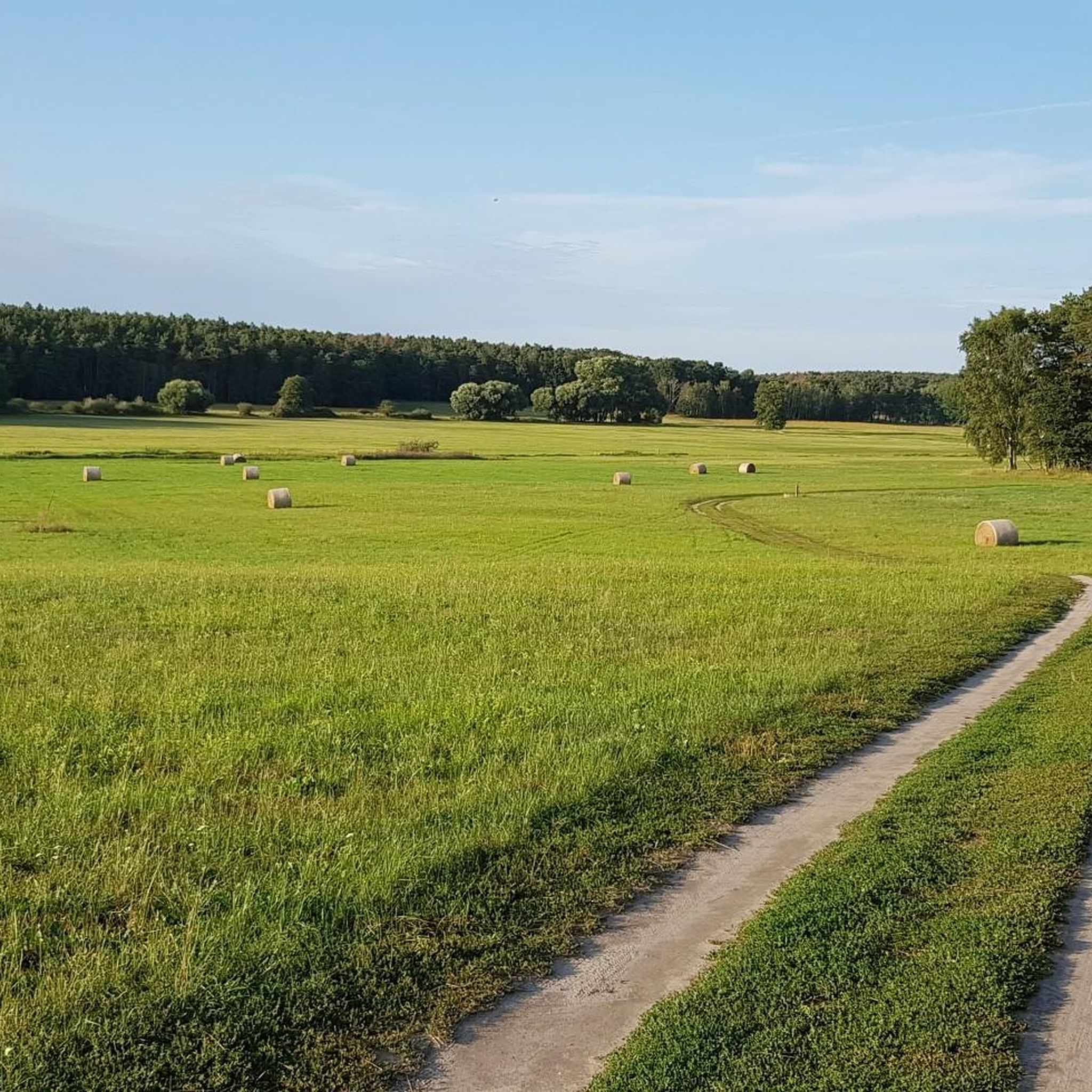
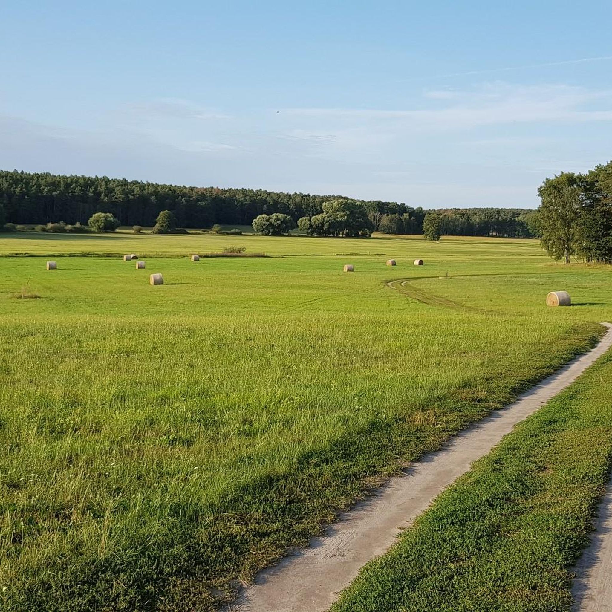
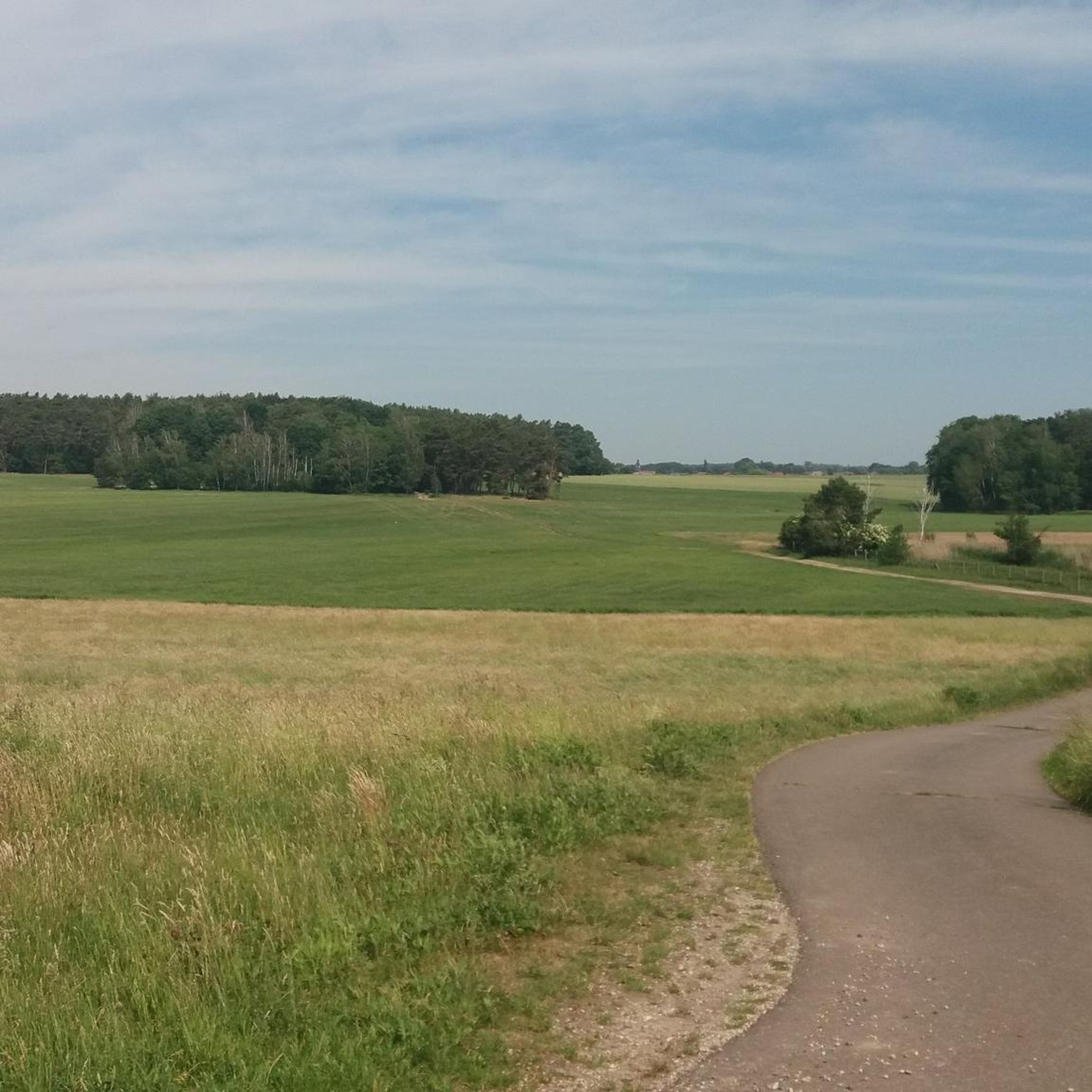
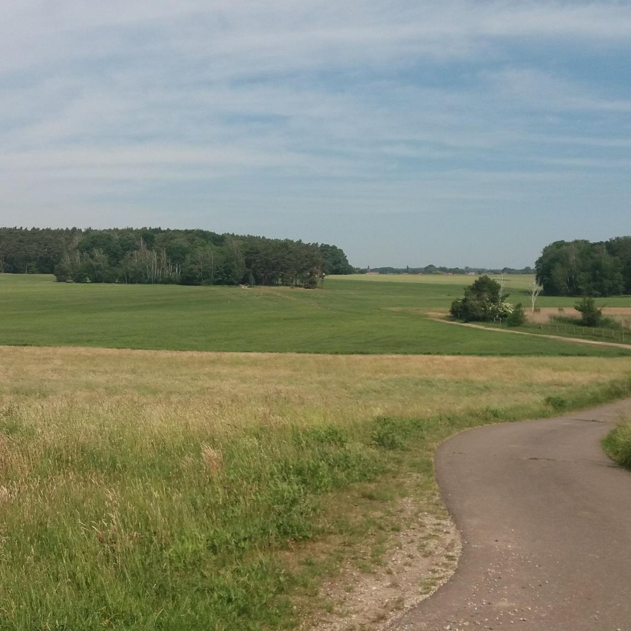
Tips from the Community

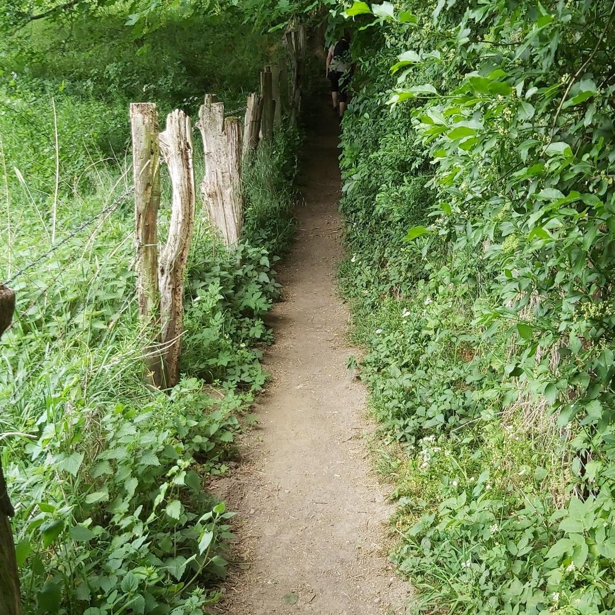
wonderfully quiet and tree-lined
0
0

Very nice view of the castle pond.
1
0
Magnificent view of the Mulde from the bridge
7
0

Fountain on the market square in front of the town hall.
1
0
Frequently Asked Questions
What kind of road cycling routes can I expect in the Tiglitzer Forst area?
The Tiglitzer Forst area offers road cycling routes primarily on public roads and designated paths that border or are adjacent to the military training area. You'll find a mix of rural landscapes, river paths, and forested peripheries. The broader Saxony region, where Tiglitzer Forst is located, is known for its diverse cycling terrain, including routes along rivers and through varied landscapes, often on well-maintained and signposted paths suitable for different fitness levels.
Are there any restrictions for cycling directly within Tiglitzer Forst?
Yes, Tiglitzer Forst is designated as a military training area, which means direct access within its core is generally restricted due to ongoing training operations and safety concerns. Cycling opportunities are primarily found on public roads and paths around the periphery of the training area, not within the restricted zones. Always observe local signage and regulations.
How many road cycling routes are available in the Tiglitzer Forst region?
There are over 50 road cycling routes available in the Tiglitzer Forst region, as mapped and rated by the komoot community. These routes cater to various skill levels, with a good mix of easy and moderate options.
What is the general difficulty level of road cycling routes in this area?
The road cycling routes in the Tiglitzer Forst area are predominantly easy to moderate. Out of the over 50 available routes, 15 are classified as easy, and 35 as moderate. This makes the region accessible for a wide range of cyclists, from beginners to those looking for a bit more challenge.
Are there any family-friendly road cycling routes in Tiglitzer Forst?
Yes, many of the routes in the Tiglitzer Forst area are suitable for families, especially the 'easy' classified routes. These often feature paved surfaces and relatively flat profiles, making them enjoyable for cyclists of all ages. For example, the Söllichau Church – Erlöserkirche Schwemsal loop from Bad Düben is an easy 10.9 miles (17.5 km) path that passes through small towns and rural landscapes, perfect for a family outing.
What do other cyclists say about road cycling in Tiglitzer Forst?
The road cycling routes in Tiglitzer Forst are highly rated by the komoot community, with an average score of 4.5 stars from over 60 reviews. Cyclists often praise the quiet rural landscapes, well-maintained paths, and the variety of routes that connect local villages and natural features.
Are there any notable landmarks or points of interest along the road cycling routes?
While specific tourist attractions directly within the military training area are limited, the surrounding routes often connect charming local churches and villages. For instance, the Kossa Church – Görschlitz Village Church loop from Bad Düben connects two such historical village churches. Other routes, like the Mulde Bridge, Eilenburg – Mulde Bridge in Bad Düben loop from Bad Düben, lead through scenic riverine landscapes.
Where can I find parking for road cycling in the Tiglitzer Forst area?
Parking for road cyclists is typically available in the towns and villages adjacent to the Tiglitzer Forst, such as Bad Düben. Many routes start and end in these locations, offering convenient access to parking facilities.
What is the best time of year to go road cycling in Tiglitzer Forst?
The best time for road cycling in the Tiglitzer Forst area, and the broader Saxony region, is generally during the spring, summer, and early autumn months. During these seasons, the weather is typically mild, and the landscapes are at their most vibrant. Winter cycling might be possible, but conditions can be challenging due to colder temperatures and potential ice or snow.
Are there any loop trails for road cycling in the region?
Yes, many of the road cycling routes in the Tiglitzer Forst area are designed as loops, offering convenient starting and ending points. Examples include the popular Kossa Church – Görschlitz Village Church loop from Bad Düben and the Söllichau Church – Erlöserkirche Schwemsal loop from Bad Düben, allowing you to return to your starting point without retracing your path.
Can I find cafes or accommodation near the road cycling routes?
Yes, the towns and villages surrounding Tiglitzer Forst, such as Bad Düben, offer various amenities including cafes, restaurants, and accommodation options. These locations serve as excellent starting points or rest stops for your cycling adventures, providing opportunities to refuel and relax.
What are the longest road cycling routes available in the Tiglitzer Forst area?
For those seeking longer rides, routes like the View of the Melzerwasser – Marktplatz Bad Düben loop from Bad Düben cover approximately 63.7 miles (63.7 km), offering a more extended exploration of the region's diverse landscapes.
Most popular routes in Tiglitzer Forst

Get inspired with the komoot mobile app


Explore more
Browse the best Road cycling routes in other regions.
