The best cycling routes in Salt Hill State Forest
4.9
(16)
213
riders
32
rides
Touring cycling routes in Salt Hill State Forest traverse a diverse landscape characterized by rocky ridgelines, dense deciduous woodlands, and rolling hills. The region features significant water bodies, including the picturesque Blue Lake and the expansive Croton Reservoir, which is a key part of New York City's water supply system. Elevations such as the 699-foot Salt Hill summit provide varied terrain, from mostly paved paths to more challenging routes with unpaved segments and notable elevation gains. Historical remnants like old…
Last updated: May 16, 2026
5.0
(1)
7
riders
14.7km
00:59
130m
130m
Easy bike ride. Great for any fitness level. Mostly paved surfaces. Suitable for all skill levels.
5.0
(1)
3
riders
40.4km
02:33
430m
430m
Moderate bike ride. Good fitness required. Mostly paved surfaces. Suitable for all skill levels.

Sign up for free
5
riders
36.3km
02:28
450m
450m
Hard bike ride. Good fitness required. You may need to push your bike for some segments of this route.
1
riders
34.9km
02:34
360m
360m
Hard bike ride. Good fitness required. You may need to push your bike for some segments of this route.
1
riders
55.8km
03:36
680m
680m
Hard bike ride. Very good fitness required. Mostly paved surfaces. Suitable for all skill levels.
Get access to more routes and recommendations from other explorers.
Sign up for free
Already have an account?
Our route recommendations are based on thousands of hikes, rides, and runs completed by other people on komoot.
Start today with a free account
Your next adventure awaits.
Login or Signup


Tips from the Community


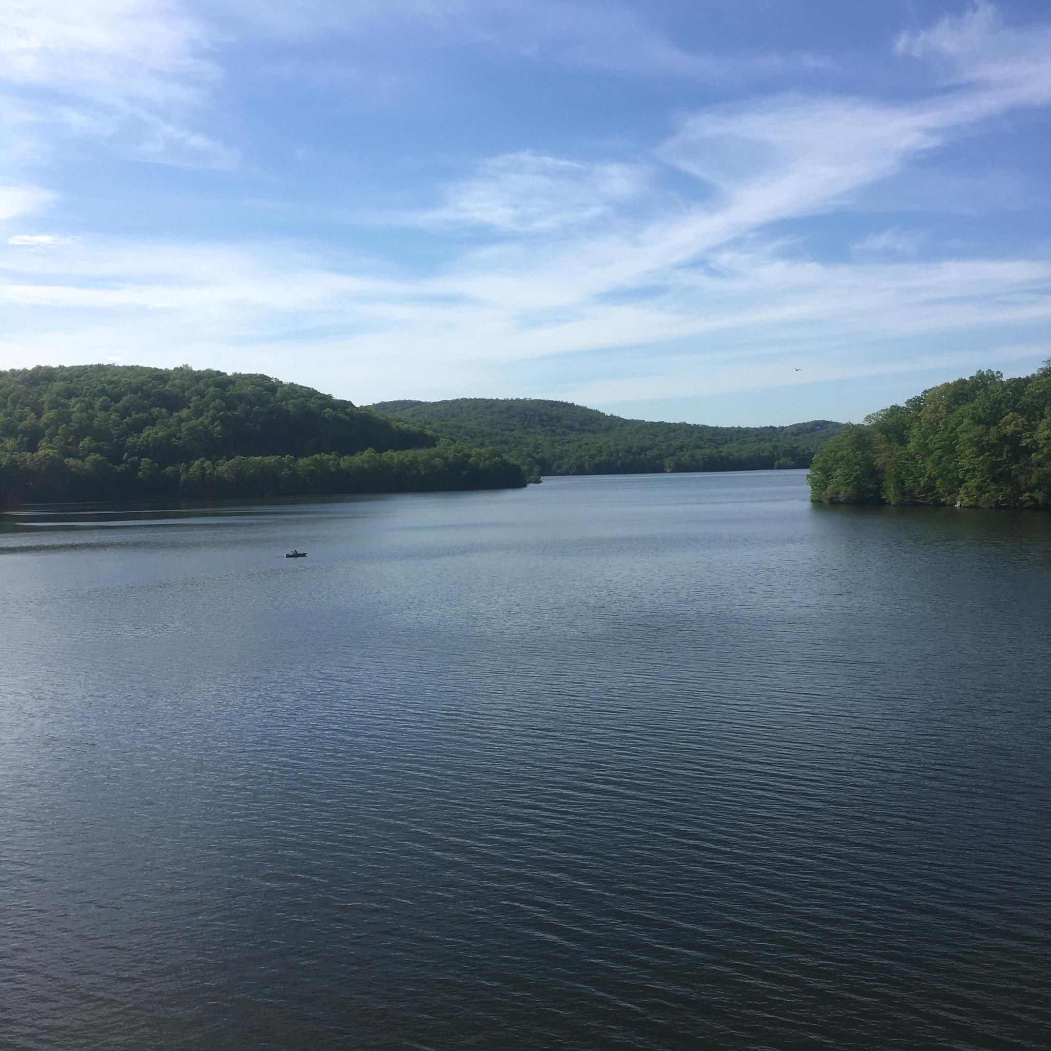
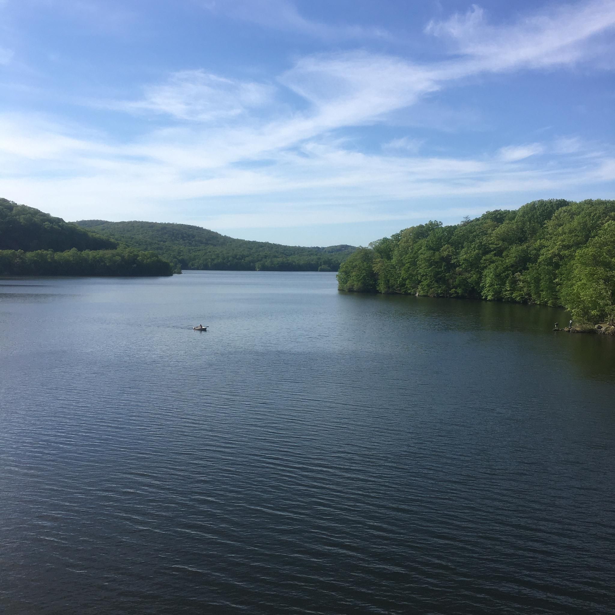
This massive reservoir is about nine miles long, stretching through five different towns. There's a gorgeous, cascading spillway on the west of the reservoir. In this particular spot, you can access the shore of the reservoir just off Croton Lake Road, or via the Teatown-Kitchawan Trail.
0
0

This bronze statue is a memorial to the Battle of Pines Bridge, a battle in the Revolutionary War. The monument is made to reflect the diversity of the soldiers in the war. The monument is located in Railroad Park, which has benches and a cafe.
0
0

There are great views over the water in either direction as you ride along Croton Lake Road. The elevated position of the bridge gives you a lovely vantage point and a wonderful photo opportunity.
0
0


Croton Reservoir is one of the three main water supply systems that provide water to New York City.
0
0

Nice old bridge over Croton River. Make sure to dismount if you are on a road bike.
0
0
Beautiful dam and waterfalls. Nice climb if coming from old quaker bridge
0
0
Frequently Asked Questions
How many touring cycling routes are available in Salt Hill State Forest?
Salt Hill State Forest offers a diverse selection of over 30 touring cycling routes. These routes cater to various skill levels, ranging from easy loops to more challenging paths with significant elevation changes.
Are there easy touring cycling routes suitable for beginners or families?
Yes, Salt Hill State Forest has several easy routes perfect for beginners or families. An excellent option is the New Croton Dam – Old Croton Dam Road Bridge loop from New Croton Dam, which is 9.1 miles (14.7 km) long and offers scenic views of the New Croton Dam.
What kind of terrain can I expect on the touring cycling routes?
The terrain in Salt Hill State Forest is quite varied. While some routes are primarily paved, others incorporate unpaved sections, offering a mix of surfaces. You'll encounter rocky ridgelines, dense deciduous woodlands, and rolling hills, providing a diverse experience for touring cyclists.
Are there any routes that offer significant elevation for a more challenging ride?
For those seeking a challenge, Salt Hill State Forest features routes with notable elevation gains. The New Croton Reservoir Double Loop, for instance, is a difficult 34.7-mile (55.8 km) route with substantial climbing, providing a rewarding experience for experienced cyclists.
What are some scenic viewpoints or natural attractions along the cycling routes?
Salt Hill State Forest is rich in natural beauty. You can enjoy views of the picturesque Blue Lake and the expansive Croton Reservoir. From certain rocky outcrops, especially during the leaf-off season, you might even catch glimpses of the Hudson River. The 699-foot Salt Hill summit also offers commanding views.
Are there any historical sites to see while cycling in the forest?
Yes, the forest holds several historical echoes. You can discover remnants such as old stone walls, foundations, root cellars, and the remains of a 1950s fire tower on Salt Hill. The impressive New Croton Dam, once the tallest dam in the world, is a significant historical attraction, with Croton Gorge Park offering direct downstream views.
What is the best time of year to go touring cycling in Salt Hill State Forest?
The diverse natural environment of Salt Hill State Forest makes it appealing throughout the year. Spring and fall offer pleasant temperatures and vibrant foliage, while summer provides lush greenery. In the leaf-off season, you might get clearer views of the Hudson River from higher elevations. Always check local weather and trail conditions before heading out.
Are there circular touring cycling routes available?
Yes, many of the routes in Salt Hill State Forest are designed as loops, providing a convenient circular experience. A popular option is the New Croton Reservoir Loop, a difficult 22.5-mile (36.3 km) path that circles the reservoir, offering continuous scenic views.
What do other touring cyclists enjoy most about the routes in Salt Hill State Forest?
The routes in Salt Hill State Forest are highly rated by the komoot community, with an average score of 4.9 stars from over 15 reviews. Cyclists often praise the diverse landscapes, the scenic water bodies like the Croton Reservoir, and the mix of paved and unpaved sections that offer varied experiences.
Are there any routes that feature the New Croton Dam?
Absolutely. The New Croton Dam is a prominent feature in the area. The New Croton Dam – New Croton Dam loop from New Croton Reservoir is an easy 9-mile (14.5 km) route that specifically highlights this iconic structure and its surroundings.
Is public transport available to access the cycling routes in Salt Hill State Forest?
While the guide focuses on the routes themselves, Salt Hill State Forest is located in Cortlandt, NY. For specific public transport options to the area, it's recommended to check local transit schedules and routes that serve Cortlandt or nearby towns, as access points can vary.
Where can I find parking for the cycling routes?
Parking availability can vary depending on the specific starting point of your chosen route. Many popular trailheads and attractions, such as the New Croton Dam area or Croton Gorge Park, typically offer designated parking facilities. It's advisable to check the route details on komoot for specific parking recommendations for each tour.
Most popular routes in Salt Hill State Forest

Get inspired with the komoot mobile app


Explore more
Browse the best Cycling routes in other regions.
