The best running trails in Salt Hill State Forest
63
runners
13
runs
Jogging in Salt Hill State Forest offers a varied outdoor experience across 269.7 acres of diverse natural environment. The region features a mix of rocky ridgelines, dense woodlands, wetlands, and rolling hills, providing dynamic terrain for runners. Trails include informal woods roads and footpaths, with some routes climbing towards the 699-foot Salt Hill summit. Blue Lake, a picturesque 7 to 8-acre body of water, also provides scenic elements for running routes.
Best jogging routes in Salt Hill State Forest
- The…
Last updated: May 16, 2026
6
runners
12.3km
01:20
190m
190m
Moderate run. Good fitness required. Mostly paved surfaces. Suitable for all skill levels.
9
runners
5.50km
00:37
10m
10m
Moderate run. Good fitness required. Mostly paved surfaces. Suitable for all skill levels.

Sign up for free
10
runners
12.8km
01:21
90m
90m
Moderate run. Good fitness required. Mostly paved surfaces. Suitable for all skill levels.
4
runners
2.92km
00:18
20m
20m
Easy run. Great for any fitness level. Mostly paved surfaces. Suitable for all skill levels.
6
runners
20.3km
02:10
150m
150m
Hard run. Very good fitness required. Mostly paved surfaces. Suitable for all skill levels.
Get access to more routes and recommendations from other explorers.
Sign up for free
Already have an account?
Our route recommendations are based on thousands of hikes, rides, and runs completed by other people on komoot.
Start today with a free account
Your next adventure awaits.
Login or Signup

Tips from the Community


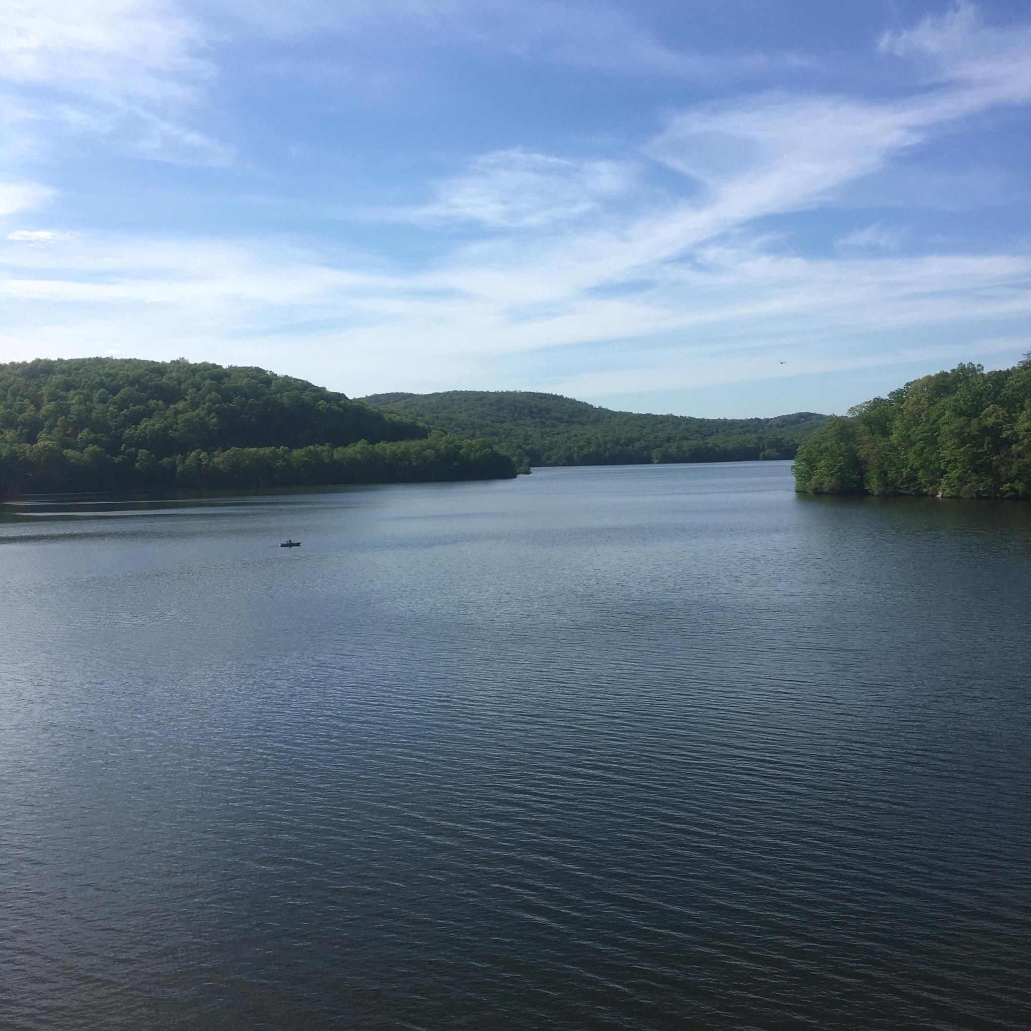
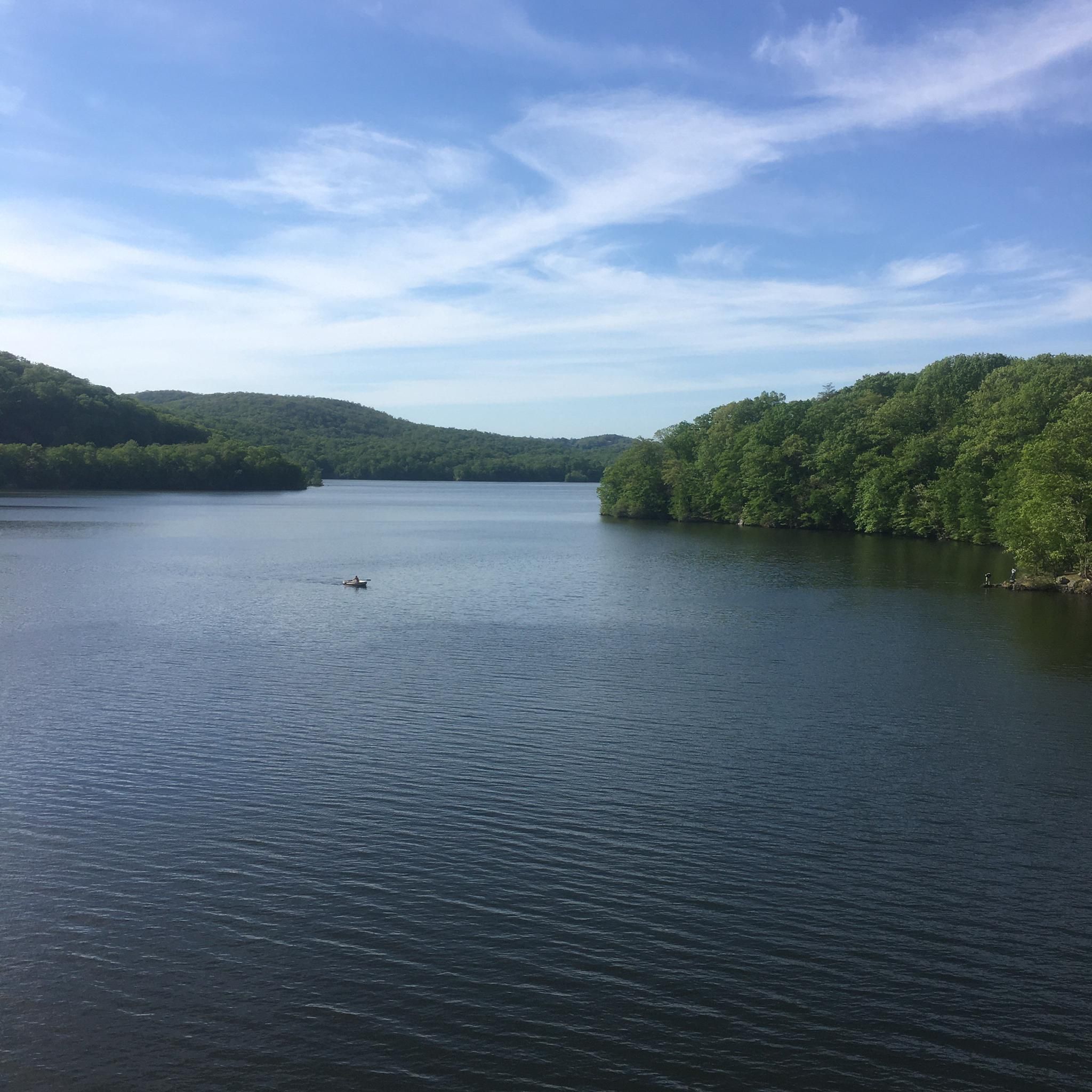
This massive reservoir is about nine miles long, stretching through five different towns. There's a gorgeous, cascading spillway on the west of the reservoir. In this particular spot, you can access the shore of the reservoir just off Croton Lake Road, or via the Teatown-Kitchawan Trail.
0
0

The memorial is a giant sundial from steel salvaged from the World Trade Center site. There are several plaques on the memorial to remember the planes that crashed, the first responders, and some messages of hope for the future.
0
0

Croton Reservoir is one of the three main water supply systems that provide water to New York City.
0
0

Beautiful dam and waterfalls. Nice climb if coming from old quaker bridge
0
0

The New Croton Dam forms the New Croton Reservoir, part of the New York City water supply system. Construction began in 1892 and was completed in 1906. The dam is 266 feet broad at its base and 297 feet high from base to crest. At the time of its completion, it was the tallest dam in the world. Croton Gorge Park offers views of the dam from directly downstream. The Old Croton Trail, a popular hiking and biking path that roughly follows the route of the Old Croton Aqueduct, has an endpoint near the base of the dam. Teatown Lake Reservation, a nature preserve, lies nearby as does Croton Point Park in Croton-on-Hudson.
0
0

The perfect spot for a break! From the dam, you have great views over the New Croton Reservoir.
1
0
Frequently Asked Questions
How many running routes are available in Salt Hill State Forest?
There are over 10 running routes in Salt Hill State Forest, catering to various preferences. You'll find a mix of easy, moderate, and challenging options to explore the diverse landscape.
What kind of terrain can I expect on the jogging trails?
Salt Hill State Forest offers a diverse landscape for runners, including rocky ridgelines, dense woodlands, wetlands, and rolling hills. Trails range from informal woods roads to footpaths, with some featuring gradual inclines and descents, and even looping switchbacks on Salt Hill itself.
Are there any easy running routes suitable for beginners or families?
Yes, Salt Hill State Forest has routes suitable for all levels. For an easier run, consider the Running loop from Town of Yorktown, which is an easy 1.8-mile (2.9 km) path. The old woods roads around Blue Lake also offer flat, enjoyable sections.
Can I find challenging running routes in Salt Hill State Forest?
Absolutely. For experienced runners seeking a challenge, the forest offers routes with more significant elevation changes. A notable option is the New Croton Dam – New Croton Dam loop from Stayback Hill Unit, a difficult 12.6-mile (20.3 km) trail that leads through varied terrain and takes about 2 hours 9 minutes to complete.
Are there any scenic viewpoints or landmarks along the running routes?
Yes, the forest offers several points of interest. You can run towards the 699-foot Salt Hill summit, which may offer views of the Croton Reservoir during leaf-off seasons. The picturesque Blue Lake is a centerpiece, with old woods roads winding around it. You might also discover historical elements like old stone walls, foundations, and even the remains of a 1950s fire tower.
Are there running routes that feature water bodies?
Yes, water features are a highlight of the forest. Many routes incorporate the scenic Blue Lake, a 7 to 8-acre body of water. Additionally, the forest is bounded by the Croton Reservoir to the east, and several popular routes, such as the New Croton Dam – New Croton Dam loop from Village of Croton-on-Hudson, offer views near the New Croton Reservoir.
Are the running trails in Salt Hill State Forest dog-friendly?
While specific regulations for dogs on trails can vary, Salt Hill State Forest is generally considered a natural area suitable for outdoor activities. It's always best to check local signage or the official park website for the most current rules regarding pets, including leash requirements, to ensure a pleasant experience for everyone.
What do other runners enjoy most about jogging in Salt Hill State Forest?
Runners frequently praise the diverse natural environment and varied terrain. The mix of rocky ridgelines, dense woodlands, and rolling hills provides a dynamic backdrop. The scenic Blue Lake and the opportunity to explore historical elements also add to the appeal, making for an engaging and varied outdoor experience.
Are there circular running routes available?
Yes, many of the running routes in Salt Hill State Forest are designed as loops, offering a convenient way to explore without retracing your steps. For example, the New Croton Reservoir – New Croton Dam loop from Turkey Mountain is a popular moderate 7.9-mile (12.8 km) circular path.
When is the best time of year to go running in Salt Hill State Forest?
Salt Hill State Forest offers a great running experience year-round. Spring and fall provide pleasant temperatures and beautiful foliage. During the leaf-off seasons (late fall to early spring), you might get better views towards the Croton Reservoir from higher elevations like Salt Hill summit. Always check local weather conditions before heading out.
What should I know about parking and public transport access for the running trails?
While specific parking areas are not detailed in the route descriptions, state forests typically have designated parking lots or roadside pull-offs near trailheads. For public transport, access would depend on the specific starting point of your chosen route. It's advisable to research local transport options to the vicinity of Salt Hill State Forest if you plan to use public transport.
Most popular routes in Salt Hill State Forest

Get inspired with the komoot mobile app


Explore more
Browse the best Running Trails & Routes in other regions.
