The best road cycling routes in Salt Hill State Forest
4.8
(16)
611
riders
64
rides
Road cycling routes in Salt Hill State Forest traverse a diverse landscape characterized by rolling hills, rocky ridgelines, and deciduous forests. The area features elevation changes, including the 699-foot Salt Hill summit, providing varied terrain for cyclists. Proximity to the Croton Watershed and Reservoir offers additional scenic views along many routes. This region provides a mix of paved surfaces suitable for road cycling.
Best road cycling routes in Salt Hill State Forest
- The most popular road cycling route is Academy…
Last updated: May 14, 2026
21
riders
53.4km
02:36
640m
640m
Moderate road ride. Good fitness required. Some segments of this route may be unpaved and difficult to ride.
6
riders
66.3km
03:17
850m
850m
Moderate road ride. Good fitness required. Some segments of this route may be unpaved and difficult to ride.

Sign up for free
4
riders
27.6km
01:33
410m
400m
Moderate road ride. Good fitness required. Some segments of this route may be unpaved and difficult to ride.
6
riders
59.2km
03:08
690m
690m
Moderate road ride. Good fitness required. Mostly well-paved surfaces and easy to ride.
3
riders
36.2km
01:45
460m
460m
Moderate road ride. Good fitness required. Mostly well-paved surfaces and easy to ride.
Get access to more routes and recommendations from other explorers.
Sign up for free
Already have an account?
Our route recommendations are based on thousands of hikes, rides, and runs completed by other people on komoot.
Start today with a free account
Your next adventure awaits.
Login or Signup


Tips from the Community


Great boardwalk that takes you over the southern edge of Teatown Lake. From it, you get a great view of the water and the surrounding hills. If you are lucky, you may catch a glimpse of some of the wildlife that lives in the pond.
1
0
This bronze statue is a memorial to the Battle of Pines Bridge, a battle in the Revolutionary War. The monument is made to reflect the diversity of the soldiers in the war. The monument is located in Railroad Park, which has benches and a cafe.
0
0

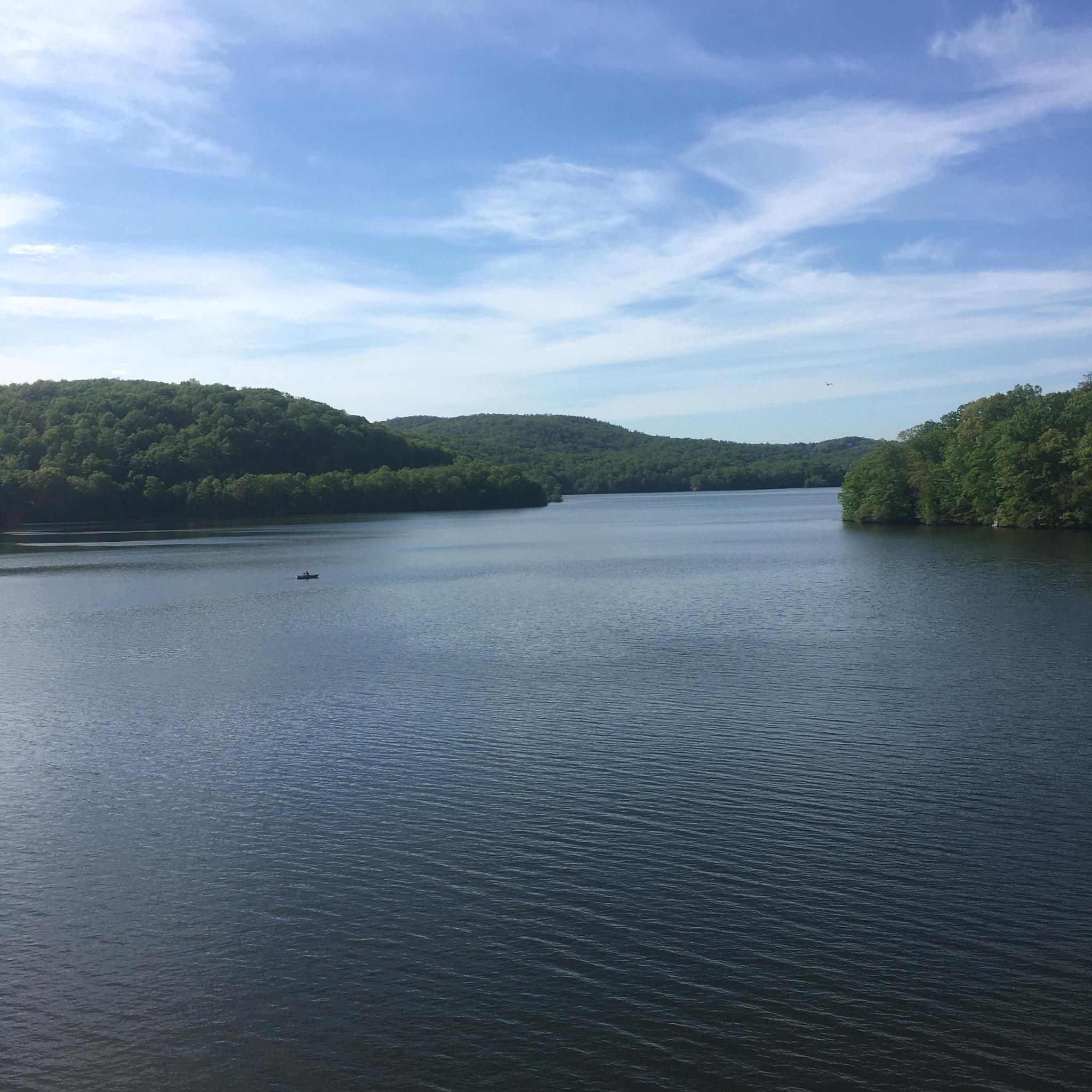
There are great views over the water in either direction as you ride along Croton Lake Road. The elevated position of the bridge gives you a lovely vantage point and a wonderful photo opportunity.
0
0

Croton Reservoir is one of the three main water supply systems that provide water to New York City.
0
0

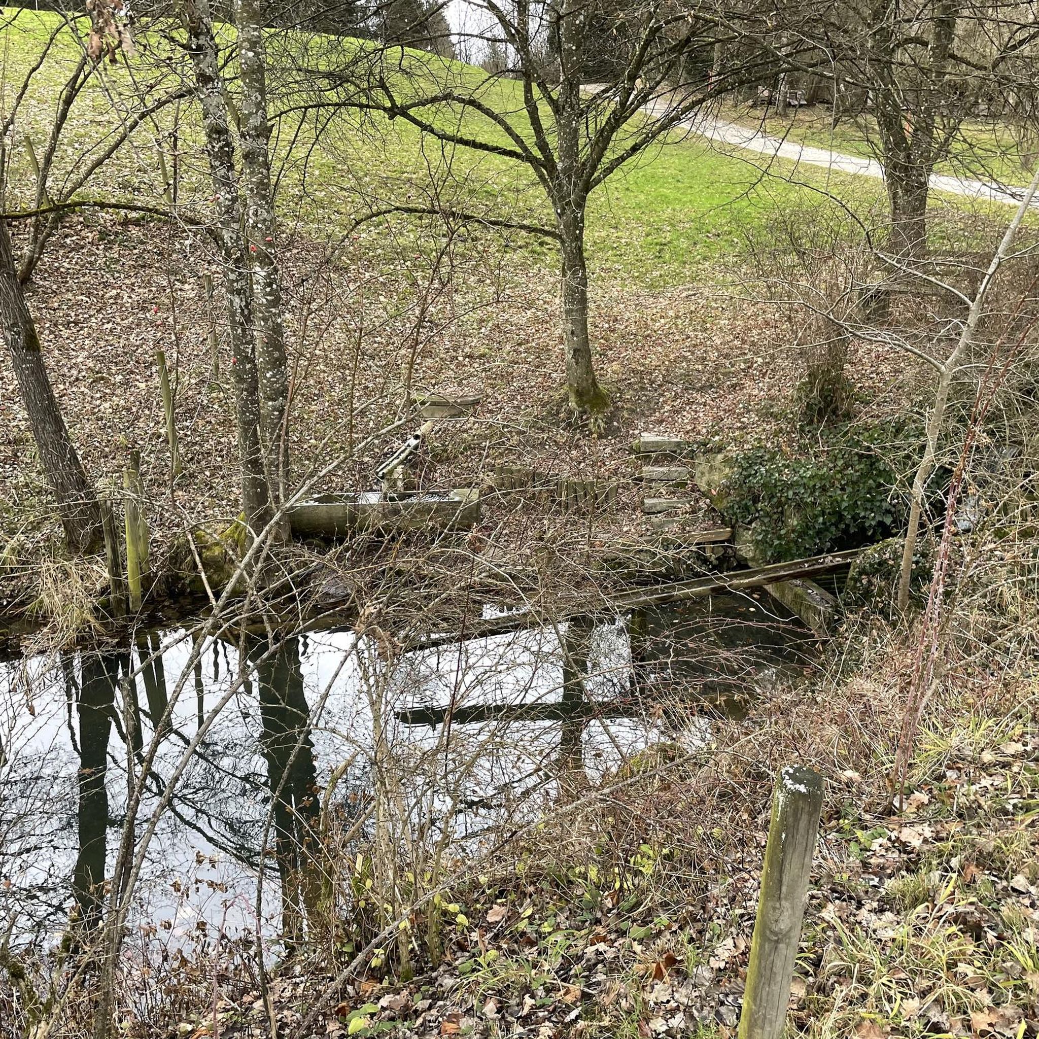
Beautiful dam and waterfalls. Nice climb if coming from old quaker bridge
0
0
Great views of Croton reservoir and the red bridge itself is worth a stop. That said watch out for stopped cyclist and pedestrians if you're biking through.
2
0
Frequently Asked Questions
What kind of terrain can I expect on road cycling routes in Salt Hill State Forest?
The road cycling routes in and around Salt Hill State Forest feature a diverse landscape with rolling hills and rocky ridgelines. You'll encounter elevation changes, including the 699-foot Salt Hill summit, providing varied terrain. Many routes offer scenic views of the Croton Reservoir and its surrounding watershed.
Are the road cycling routes in Salt Hill State Forest mostly paved?
While Salt Hill State Forest itself contains some informal woods roads, the road cycling routes listed on komoot predominantly use paved surfaces. These routes leverage the existing road network in the vicinity, allowing road cyclists to enjoy the natural beauty with comfortable riding conditions. Some routes may have short unpaved sections, especially if they venture deeper into the forest.
What is the overall difficulty level of road cycling in this area?
The area offers a range of difficulties. Out of 69 available routes, 50 are rated as moderate, 16 as difficult, and 3 as easy. This means you can find options from gentle loops to more challenging rides with significant elevation gains, such as the Academy Hill – Drum Hill loop from New Croton Dam, which has over 430 meters of elevation gain.
Are there any family-friendly road cycling routes in Salt Hill State Forest?
Yes, there are a few easier routes suitable for families. For instance, the New Croton Dam loop from New Croton Dam is a moderate 26.1 km path that predominantly uses paved surfaces and circles the scenic New Croton Dam area, making it a good option for a family outing.
What are some notable landmarks or scenic viewpoints along the cycling routes?
Many routes offer stunning views of the Croton Reservoir and the New Croton Dam. You might also spot historical elements like old stone walls and foundations. During the leaf-off season, rock outcrops provide particularly clear views of the reservoir. The 8-acre Blue Lake is another picturesque feature integrated into some routes.
Are there any circular road cycling routes available?
Yes, many of the road cycling routes in Salt Hill State Forest are designed as loops, allowing you to start and end at the same point. Examples include the popular Academy Hill – Drum Hill loop from New Croton Dam and the longer New Croton Dam – Trailside Café loop from Parking at Valeria.
What do other road cyclists enjoy most about the area?
The area is highly rated by the komoot community, with an average score of 4.7 stars from over 10 reviews. Cyclists often praise the diverse terrain, the scenic views of the Croton Reservoir, and the mix of challenging climbs and enjoyable paved sections that make for a rewarding ride.
Are there options for longer road cycling tours?
Absolutely. For those seeking a longer ride, the Teatown Lake Boardwalk – New Croton Dam loop from Village of Croton-on-Hudson covers over 68 km with significant elevation, offering an extended exploration of the region's beauty.
When is the best time of year to go road cycling in Salt Hill State Forest?
The deciduous forest environment makes spring and fall particularly beautiful, with lush greenery or vibrant autumn colors. Spring offers pleasant temperatures and blooming flora, while fall provides cooler weather ideal for longer rides. Views of the Croton Reservoir are especially clear from rock outcrops during the leaf-off season.
Are there cafes or places to stop for refreshments along the routes?
While Salt Hill State Forest itself is a natural area, some routes are designed to pass by or near amenities. For example, the New Croton Dam – Trailside Café loop from Parking at Valeria explicitly mentions a 'Trailside Café' in its name, indicating opportunities for refreshments along the way.
Is public transport available to reach the road cycling routes?
The region is accessible, and some routes start from locations that may be reachable by public transport, such as the 'Village of Croton-on-Hudson' mentioned in the Teatown Lake Boardwalk – New Croton Dam loop. It's advisable to check local public transport schedules and routes to plan your journey to specific starting points.
Where can I park my car when starting a road cycling tour?
Many routes are designed with convenient starting points that include parking. For instance, the The Pines Bridge Monument – Trailside Café loop from Parking at Valeria indicates a starting point with parking available at Valeria. Specific parking details are often provided within individual route descriptions on komoot.
Most popular routes in Salt Hill State Forest

Get inspired with the komoot mobile app


Explore more
Browse the best Road cycling routes in other regions.
