The best cycling routes in Thunder Ridge Wilderness
12
riders
4
rides
Best touring bike trails in Thunder Ridge Wilderness traverse a landscape characterized by rolling hills, forested slopes, and scenic overlooks. The region features routes that follow ridgelines, offering views of the surrounding mountains and valleys. Water features such as rivers and lakes are also prominent, providing varied terrain for touring cyclists. The area includes both moderate and challenging routes, with significant elevation changes across its trails.
Best touring cycling routes in Thunder Ridge Wilderness
- The most popular touring cycling route…
Last updated: May 21, 2026
16.5km
01:13
390m
390m
Moderate bike ride. Good fitness required. Mostly paved surfaces. Suitable for all skill levels.
7.01km
00:34
210m
210m
Moderate bike ride. Good fitness required. Mostly paved surfaces. Suitable for all skill levels.

Sign up for free
4
riders
91.7km
06:07
1,240m
1,240m
Hard bike ride. Very good fitness required. Mostly paved surfaces. Suitable for all skill levels.
6
riders
75.0km
05:26
1,560m
1,560m
Hard bike ride. Very good fitness required. Mostly paved surfaces. Suitable for all skill levels.
2
riders
19.1km
01:56
520m
520m
Hard bike ride. Very good fitness required. Mostly paved surfaces. Suitable for all skill levels.
Our route recommendations are based on thousands of hikes, rides, and runs completed by other people on komoot.
Start today with a free account
Your next adventure awaits.
Login or Signup
Popular around Thunder Ridge Wilderness

Tips from the Community

The Indian Gap Rocks Trail is a short loop trail right off of the Blue Ridge Parkway just past the Buena Vista Valley overlook. This .3-mile trail takes you through the Indian Gap Rocks, a unique rock formation of giant stacked and balanced boulders.
0
0

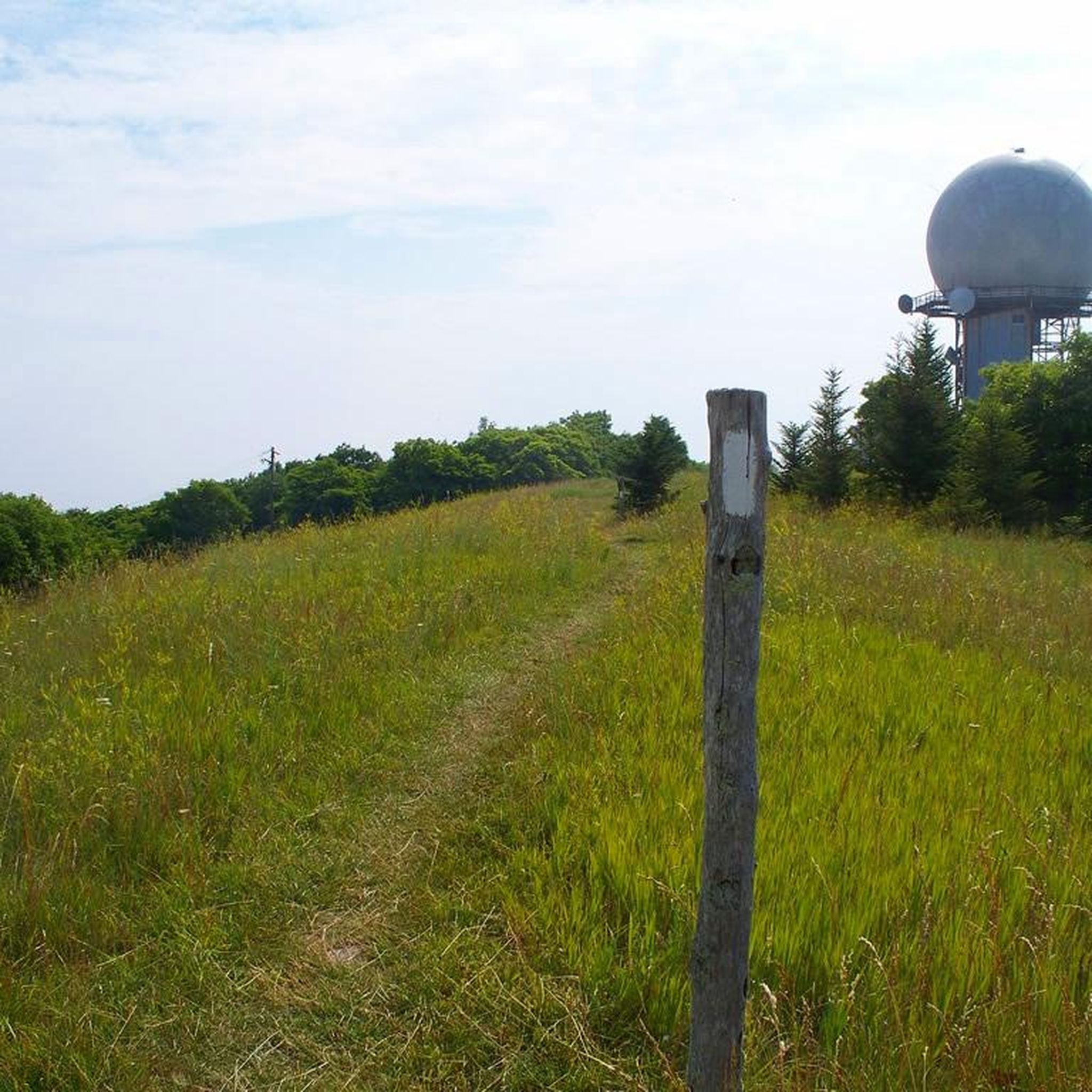
One of the more unique overlooks on the parkway in this part of Virginia, Thunder Ridge Overlook can be found at Milepost 74 on the Blue Ridge Parkway. It peers over the Arnold Valley and offers views to the south of Thunder Ridge, which the Appalachian Trail traverses on its way towards the state of North Carolina.
0
0
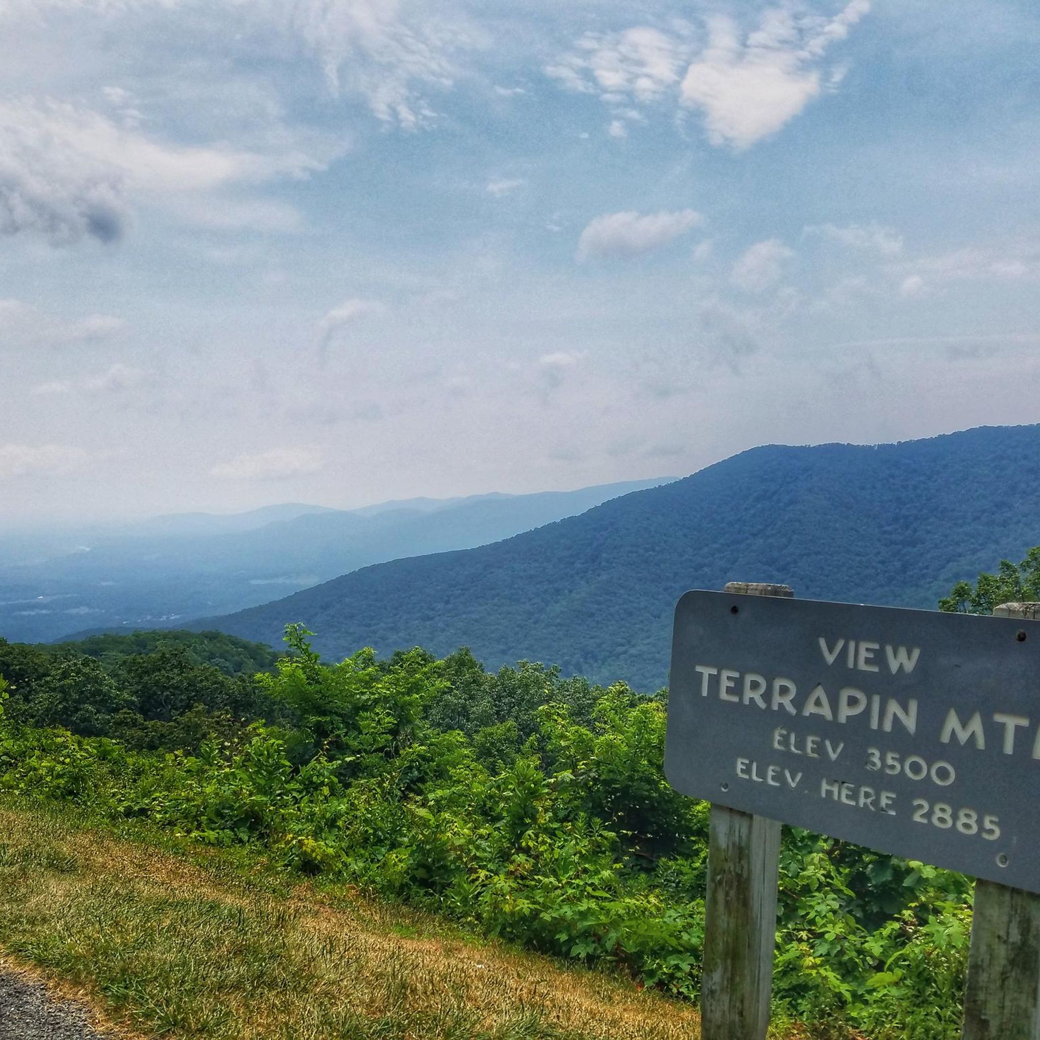
The Terrapin Mountain Overlook is located at Milepost 72.6 on the Blue Ridge Parkway and offers views of Terrapin Mountain, which runs parallel to the parkway. This gives you a view of the spine from the face-side. There are a lot of overlooks on the parkway in this area.
0
0
The Terrapin Mountain Overlook is located at Milepost 72.6 on the Blue Ridge Parkway and offers views of Terrapin Mountain, which runs parallel to the parkway. This gives you a view of the spine from the face-side. There are a lot of overlooks on the parkway in this area.
0
0
The Blue Ridge Parkway crosses over the James River here via a bridge. There are some trails and parking areas here near the river, making this a great starting/stopping point or a resupply location.
0
0
At 3,145 feet, Onion Mountain Overlook towers over the foothill peaks it views over. It's located at Milepost 79.7 on the Blue Ridge Parkway and attracts a lot of visitors every day due to its easy access and picnic areas (and ample parking).
0
0
This overlook at Milepost 53.6 on the Blue Ridge Parkway offers a great view of Rice Mountain and some of the valley floor below. This is a pretty spacious pull-off and a great spot for a break as much as it is a great place to take in a view.
0
0
You get a great view of Otter Lake without ever having to leave the parkway from here. You'll bike beside Otter Creek and Otter Creek Trail for a few miles during this section of the Blue Ridge Parkway. There are a lot of pretty roadside views.
0
0
Frequently Asked Questions
How challenging are the touring cycling routes in Thunder Ridge Wilderness?
Thunder Ridge Wilderness offers a mix of touring cycling routes. You'll find both moderate and difficult options, with significant elevation changes across the trails. For example, the Thunder Ridge Overlook to Onion Mountain Overlook is a moderate route, while the Otter Lake Dam Waterfall – View Rice Mountain loop from Locher Tract presents a more difficult challenge with substantial climbs.
What are the typical distances for touring cycling routes in Thunder Ridge Wilderness?
The touring cycling routes in Thunder Ridge Wilderness vary in length. You can find shorter moderate rides like the Thunder Ridge Overlook to Terrapin Mountain Overlook at around 7 km (4.3 miles), or longer, more challenging loops such as the James River to Abbott Lake loop, which covers approximately 75 km (46.6 miles).
Are there any circular touring cycling routes in Thunder Ridge Wilderness?
Yes, Thunder Ridge Wilderness features several circular touring cycling routes. A notable example is the James River to Abbott Lake loop, which takes you through river valleys and past lakes. Another option is the Otter Lake Dam Waterfall – View Rice Mountain loop from Locher Tract, offering a challenging circular experience.
What kind of scenery can I expect on touring cycling routes in Thunder Ridge Wilderness?
Touring cycling in Thunder Ridge Wilderness offers diverse scenery, including rolling hills, dense forested slopes, and panoramic mountain overlooks. Many routes follow ridgelines, providing expansive views of the surrounding mountains and valleys. You'll also encounter prominent water features like rivers and lakes, adding to the varied terrain.
What is the best time of year for touring cycling in Thunder Ridge Wilderness?
The best time for touring cycling in Thunder Ridge Wilderness is generally during the spring, summer, and fall months. Spring brings lush greenery, while fall offers vibrant foliage. Summers are warm but can be humid. Winter conditions can make some trails impassable due to snow and ice, especially at higher elevations.
Are there any beginner-friendly touring cycling routes in Thunder Ridge Wilderness?
While Thunder Ridge Wilderness primarily features moderate to difficult touring cycling routes, those new to the area or looking for a less strenuous ride might consider shorter sections of the moderate trails. The Thunder Ridge Overlook to Terrapin Mountain Overlook is one of the shorter moderate options available.
What should I wear for touring cycling in Thunder Ridge Wilderness?
Given the varied terrain and potential for elevation changes, it's advisable to wear layers that can be adjusted to changing temperatures. Moisture-wicking clothing is recommended. Always bring rain gear, even on clear days, as weather in mountainous regions can change quickly. A helmet is essential for safety.
Are there any specific viewpoints or scenic overlooks on the touring cycling routes?
Yes, the region is known for its scenic overlooks. Routes like the Thunder Ridge Overlook to Onion Mountain Overlook offer panoramic views from their elevated sections, showcasing the surrounding mountains and valleys.
What kind of wildlife might I encounter while touring cycling here?
Thunder Ridge Wilderness is home to various wildlife. Cyclists might spot deer, squirrels, and a variety of bird species. While less common, black bears and bobcats also inhabit the area. Always maintain a respectful distance and do not feed any animals.
How many touring cycling routes are available in Thunder Ridge Wilderness?
There are several touring cycling routes available in Thunder Ridge Wilderness, offering diverse experiences. komoot currently lists 4 distinct touring cycling routes in this guide, ranging from moderate to difficult in intensity.
Are there any routes that pass by water features like lakes or rivers?
Yes, several routes incorporate water features. The James River to Abbott Lake loop, for instance, leads through river valleys and past lakes, offering picturesque views of the region's aquatic landscapes.
Can I find routes that offer a good workout with significant elevation gain?
Absolutely. Thunder Ridge Wilderness is characterized by significant elevation changes, making it ideal for cyclists seeking a challenging workout. Routes like the Otter Lake Dam Waterfall – View Rice Mountain loop from Locher Tract and the James River to Abbott Lake loop feature substantial climbs and descents.
What is the longest touring cycling route in Thunder Ridge Wilderness?
The longest touring cycling route featured in this guide is the Otter Lake Dam Waterfall – View Rice Mountain loop from Locher Tract, which spans approximately 91.7 km (56.9 miles) and includes significant elevation changes.
Most popular routes in Thunder Ridge Wilderness

Get inspired with the komoot mobile app


Explore more
Browse the best Cycling routes in other regions.
