The best walks and hikes in Thunder Ridge Wilderness
4.4
(17)
403
hikers
28
hikes
Hiking in Thunder Ridge Wilderness offers a rugged and rewarding experience across its 2,428 acres, spanning parts of Rockbridge, Botetourt, and Bedford Counties. The area rises dramatically from Arnolds Valley to Apple Orchard Mountain, reaching elevations of 4,200 feet along the Blue Ridge crest. It features diverse hardwood forests, including potential old-growth trees, and numerous deeply incised streams flowing into Hopper Creek or Elk Creek. The terrain is characterized by significant elevation changes and impressive vistas, such as those from the Thunder Ridge Overlook.
Best hiking trails in Thunder Ridge Wilderness
- The most popular hiking route is Appalachian Trail: Thunder Ridge Overlook to Apple Orchard Mountain — Jefferson National Forest, a 5.1 miles (8.2 km) trail that takes 2 hours 24 minutes to complete. This route traverses the Blue Ridge crest, offering significant elevation changes and views towards Apple Orchard Mountain.
- Another top favourite among local hikers is Sulphur Springs Trail — Jefferson National Forest, a moderate 5.4 miles (8.7 km) path. This trail winds through the diverse hardwood forests characteristic of the region.
- Local hikers also love the Devil's Marbleyard Loop — Thunder Ridge Wilderness, an 8.4 miles (13.5 km) trail leading through rugged terrain to a unique rock formation, often completed in about 4 hours 45 minutes.
- Hiking in Thunder Ridge Wilderness is defined by varied hardwood forests, numerous streams, and significant elevation changes along the Blue Ridge crest. The network offers options for different ability levels, from moderate climbs to more challenging routes.
- The routes in Thunder Ridge Wilderness are highly rated by the komoot community with an average score of 4.4 stars from over 10 reviews. More than 350 hikers have used komoot to explore Thunder Ridge Wilderness's varied terrain.
Last updated: May 12, 2026
1
hikers
13.4km
04:08
500m
510m
Moderate hike. Good fitness required. Easily-accessible paths. Suitable for all skill levels.
1
hikers
4.24km
01:17
230m
20m
Easy hike. Great for any fitness level. Easily-accessible paths. Suitable for all skill levels.

Sign up for free
1
hikers
11.3km
03:38
480m
540m
Moderate hike. Good fitness required. Easily-accessible paths. Suitable for all skill levels.
4
hikers
8.20km
02:24
240m
240m
Moderate hike. Good fitness required. Easily-accessible paths. Suitable for all skill levels.
5
hikers
8.69km
02:33
260m
260m
Moderate hike. Good fitness required. Easily-accessible paths. Suitable for all skill levels.
Get access to more routes and recommendations from other explorers.
Sign up for free
Already have an account?
Our route recommendations are based on thousands of hikes, rides, and runs completed by other people on komoot.
Start today with a free account
Your next adventure awaits.
Login or Signup
Popular around Thunder Ridge Wilderness

Tips from the Community

Just before you hit the junction with the Appalachian Trail is a lovely overlook on a rocky outcropping. Most people stop and turn around here after enjoying one of the best views in all of the James River Face Wilderness and Thunder Ridge Wilderness. As you relax here, be aware that rattlesnakes sometimes hide in the cracks, so be careful where you sit! From here, you can either turn around and go back to your car or continue on either the AT or the Sulphur Springs Trail, and eventually to the intersection with the Balcony Falls Trail.
0
0

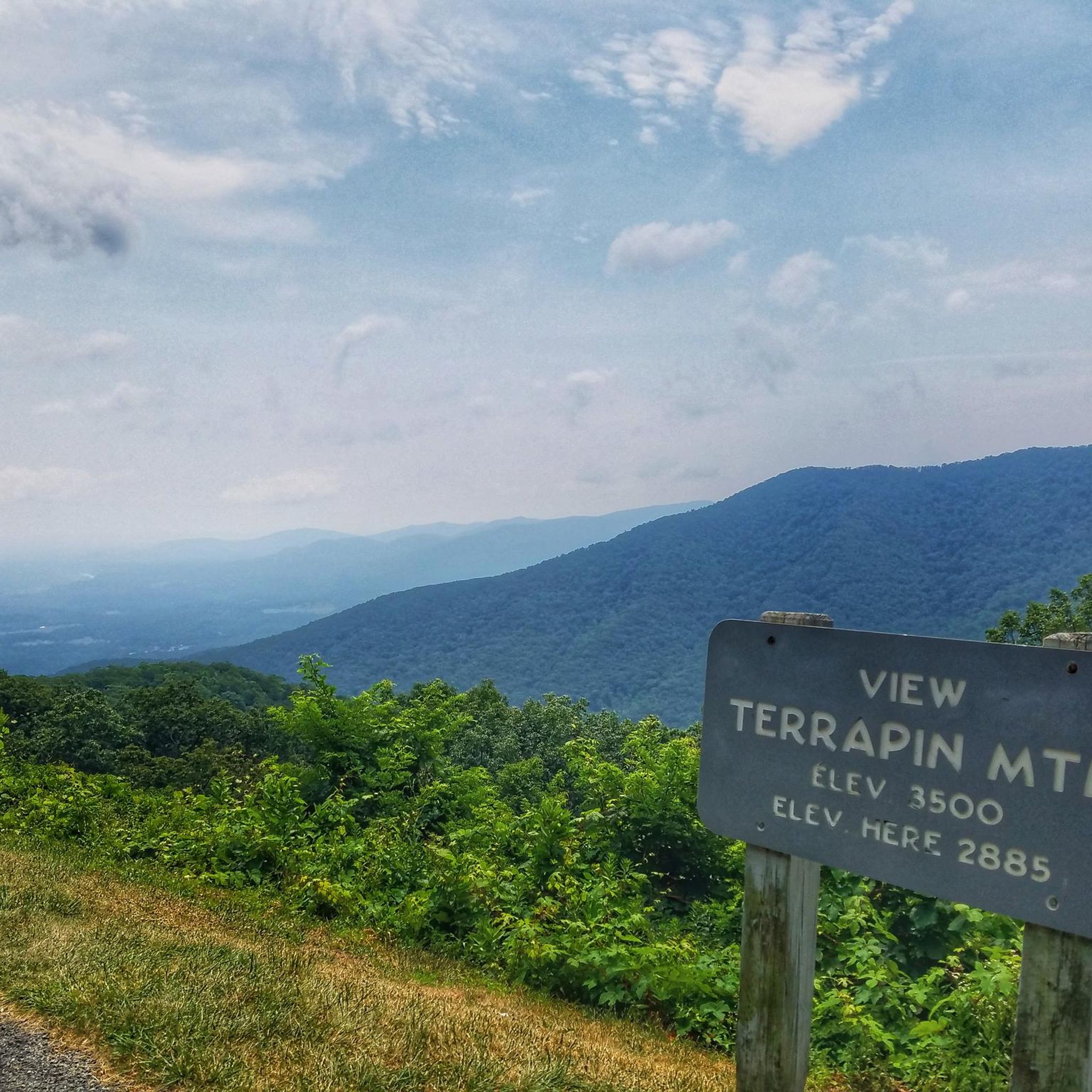
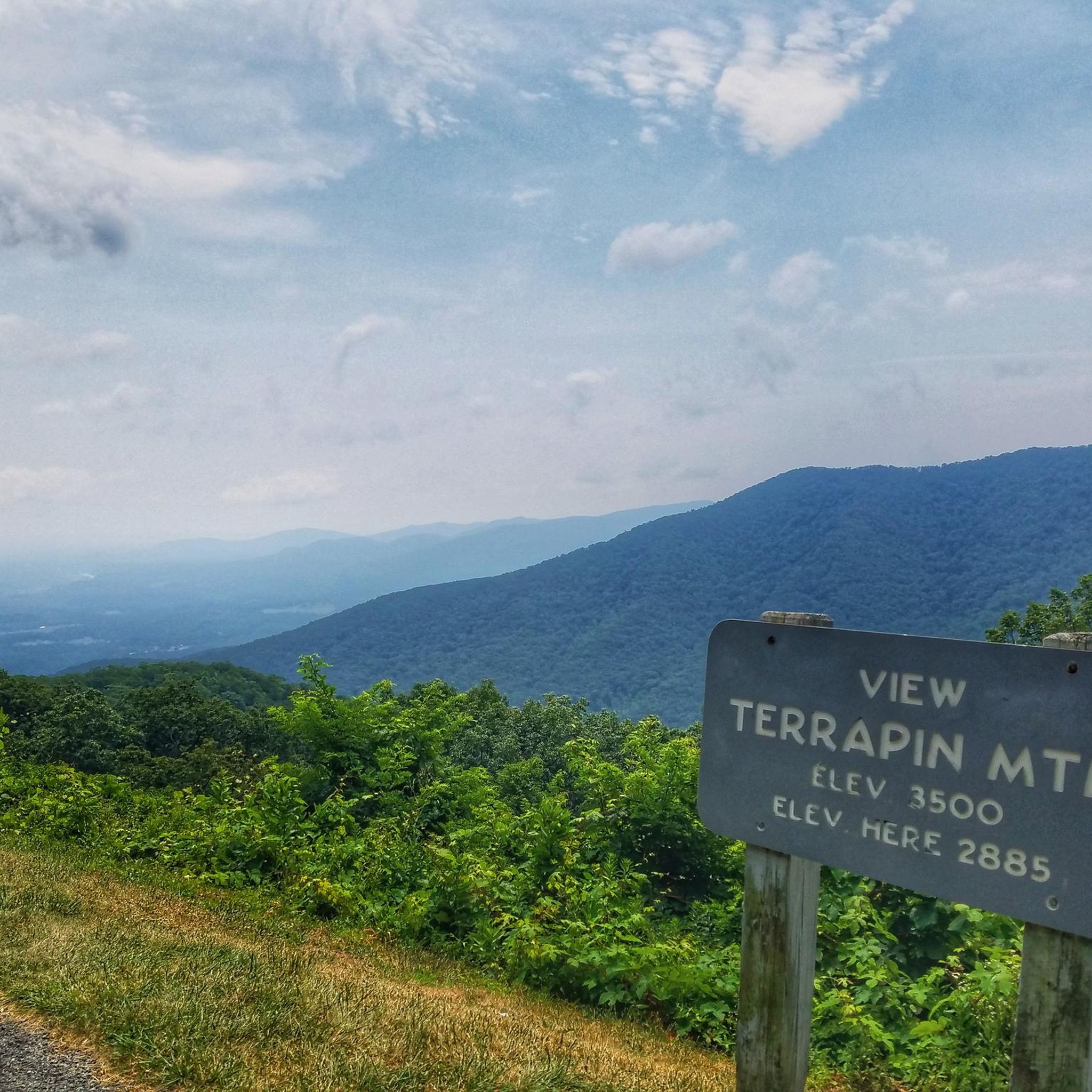
One of the more unique overlooks on the parkway in this part of Virginia, Thunder Ridge Overlook can be found at Milepost 74 on the Blue Ridge Parkway. It peers over the Arnold Valley and offers views to the south of Thunder Ridge, which the Appalachian Trail traverses on its way towards the state of North Carolina.
0
0
The Thunder Ridge Overlook (situated at Milepost 74 on the Blue Ridge Parkway) peers over the Arnold Valley. The overlook also offers views to the south of Thunder Ridge, which the Appalachian Trail traverses on its way towards the state of North Carolina.
0
0
Apple Orchard Mountain is the highest mountain in the county at 4,222 feet. The peak is situated in Jefferson National Forest and sits right on the Appalachian Trail. Even though it is named Apple Orchard Mountain, the peak actually doesn't boast a single apple; it gets its name from the trees on the hillside that resemble apple trees.
1
0
Frequently Asked Questions
What kind of terrain can I expect when hiking in Thunder Ridge Wilderness?
Thunder Ridge Wilderness offers a rugged and varied terrain. You'll encounter significant elevation changes, rising dramatically from Arnolds Valley to the 4,200-foot Apple Orchard Mountain. The trails wind through diverse hardwood forests, including Chestnut oak, White oak, and Northern red oak, with some areas featuring potential old-growth trees. Lower, steeper sections are characterized by southern hardwoods and drier forest types.
Are there any waterfalls or significant water features in Thunder Ridge Wilderness?
Yes, the wilderness is home to numerous deeply incised streams. Hopper Ridge, which forms part of the western boundary, features a significant waterfall on Hopper Creek when water levels are high. Additionally, a small waterfall is located off Petites Gap Road, offering views of Thunder Ridge and Arnolds Valley from a nearby rock ledge. Many streams require challenging bushwhacking to access due to a lack of designated trails.
What are some notable viewpoints or landmarks in the area?
Hikers can enjoy impressive vistas, such as those from the Thunder Ridge Overlook, which provide views of the distant Alleghenies and Arnolds Valley. The Appalachian Trail, which traverses the wilderness, also passes by notable features like Guillotine Rock and near the summit of Apple Orchard Mountain.
Are there any family-friendly hiking options in Thunder Ridge Wilderness?
While much of the hiking in Thunder Ridge Wilderness is considered moderate to challenging due to its rugged nature and steep slopes, there are some easier options. For instance, the Apple Orchard Falls Trail is rated as easy and offers a rewarding experience for families, leading to a beautiful waterfall.
Can I bring my dog on the trails in Thunder Ridge Wilderness?
Generally, dogs are permitted on trails within the George Washington & Jefferson National Forests, which includes Thunder Ridge Wilderness. However, they must be kept on a leash. Always ensure your dog is under control and that you pack out any waste to preserve the wilderness environment.
What is the best time of year to hike in Thunder Ridge Wilderness?
The diverse forests and varied terrain make Thunder Ridge Wilderness enjoyable across seasons. Spring brings vibrant wildflowers like Trillium and Pink lady slipper. Fall offers spectacular foliage. Summer is popular, but be prepared for warmer temperatures. Winter hiking is possible but requires appropriate gear for potentially icy or snowy conditions, especially at higher elevations.
How many hiking trails are available in Thunder Ridge Wilderness?
There are over 15 hiking routes documented in Thunder Ridge Wilderness, ranging from easy to difficult. This includes sections of the Appalachian Trail and other local favorites, offering a variety of experiences for different skill levels.
What do other hikers enjoy most about Thunder Ridge Wilderness?
The area is highly rated by the komoot community, with an average score of 4.4 stars from over 10 reviews. Hikers often praise the rugged beauty, the challenging yet rewarding elevation changes, and the impressive views from overlooks like Thunder Ridge. The diverse forest ecosystems and the sense of wilderness are also frequently highlighted.
Is there parking available near the trailheads?
Access points for trails like the Appalachian Trail are available from the Blue Ridge Parkway (near Milepost 76 and 78) and Petites Gap Road, where parking is typically available. It's always a good idea to check specific trailhead information for parking details before your hike.
Are there any circular hiking routes in Thunder Ridge Wilderness?
Yes, there are options for circular routes. For example, the Devil's Marbleyard Loop is a popular 8.4-mile trail that offers a challenging circular hike through rugged terrain to a unique rock formation.
What kind of wildlife might I encounter while hiking?
Thunder Ridge Wilderness is home to diverse wildlife. You might spot black bears, deer, squirrels, rabbits, raccoons, and foxes. Birdwatchers can look for wild turkeys and grouse. Always maintain a respectful distance and store food properly to avoid attracting animals.
What is the typical difficulty level of hikes in Thunder Ridge Wilderness?
Much of the hiking in Thunder Ridge Wilderness is considered moderate to challenging. The terrain includes steep slopes and significant elevation changes, requiring good fitness and sure-footedness. There are some easier options, but many routes, especially those on the Appalachian Trail, involve substantial climbs.
Most popular routes in Thunder Ridge Wilderness

Get inspired with the komoot mobile app


Explore more
Browse the best Hikes in other regions.
