The best running trails in Thunder Ridge Wilderness
40
runners
8
runs
Jogging routes in Thunder Ridge Wilderness traverse a landscape characterized by significant elevation changes and dense forest cover. The region features numerous ridges and valleys, providing challenging terrain for runners. These running trails often involve substantial climbs and descents, making them suitable for individuals seeking a demanding workout. The wilderness is dominated by Thunder Ridge, with steep slopes rising dramatically towards Apple Orchard Mountain.
Best jogging routes in Thunder Ridge Wilderness
- The most popular jogging route is Cornelius Creek Trail…
Last updated: May 20, 2026
10
runners
Hard run. Very good fitness required. Mostly paved surfaces. Suitable for all skill levels.
4
runners
Hard run. Very good fitness required. Mostly paved surfaces. Suitable for all skill levels.

Sign up for free
7
runners
31.7km
04:16
1,270m
1,270m
Hard run. Very good fitness required. Mostly paved surfaces. Suitable for all skill levels.
5
runners
28.5km
03:36
1,070m
1,070m
Hard run. Very good fitness required. Mostly paved surfaces. Suitable for all skill levels.
15
runners
48.8km
06:46
1,770m
1,770m
Hard run. Very good fitness required. Mostly paved surfaces. Suitable for all skill levels.
Get access to more routes and recommendations from other explorers.
Sign up for free
Already have an account?
Our route recommendations are based on thousands of hikes, rides, and runs completed by other people on komoot.
Start today with a free account
Your next adventure awaits.
Login or Signup
Popular around Thunder Ridge Wilderness
Tips from the Community

One of the more unique overlooks on the parkway in this part of Virginia, Thunder Ridge Overlook can be found at Milepost 74 on the Blue Ridge Parkway. It peers over the Arnold Valley and offers views to the south of Thunder Ridge, which the Appalachian Trail traverses on its way towards the state of North Carolina.
0
0
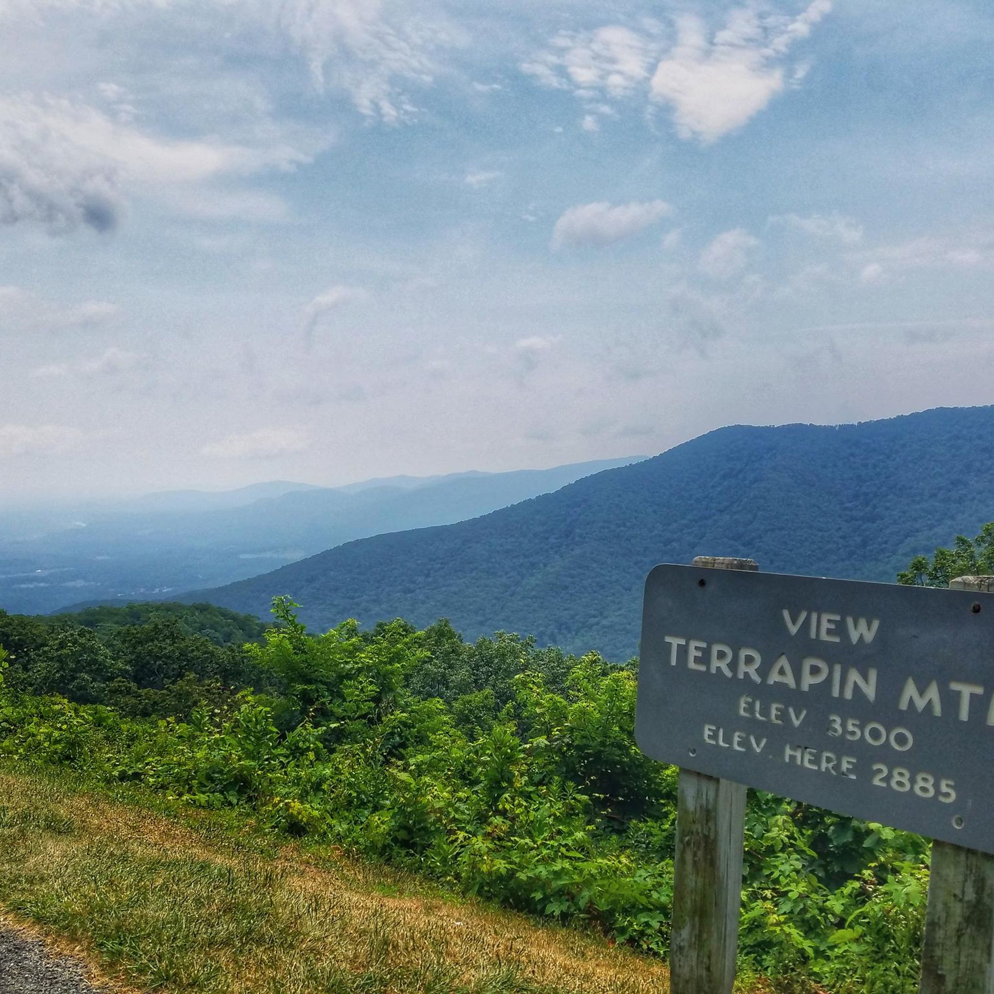
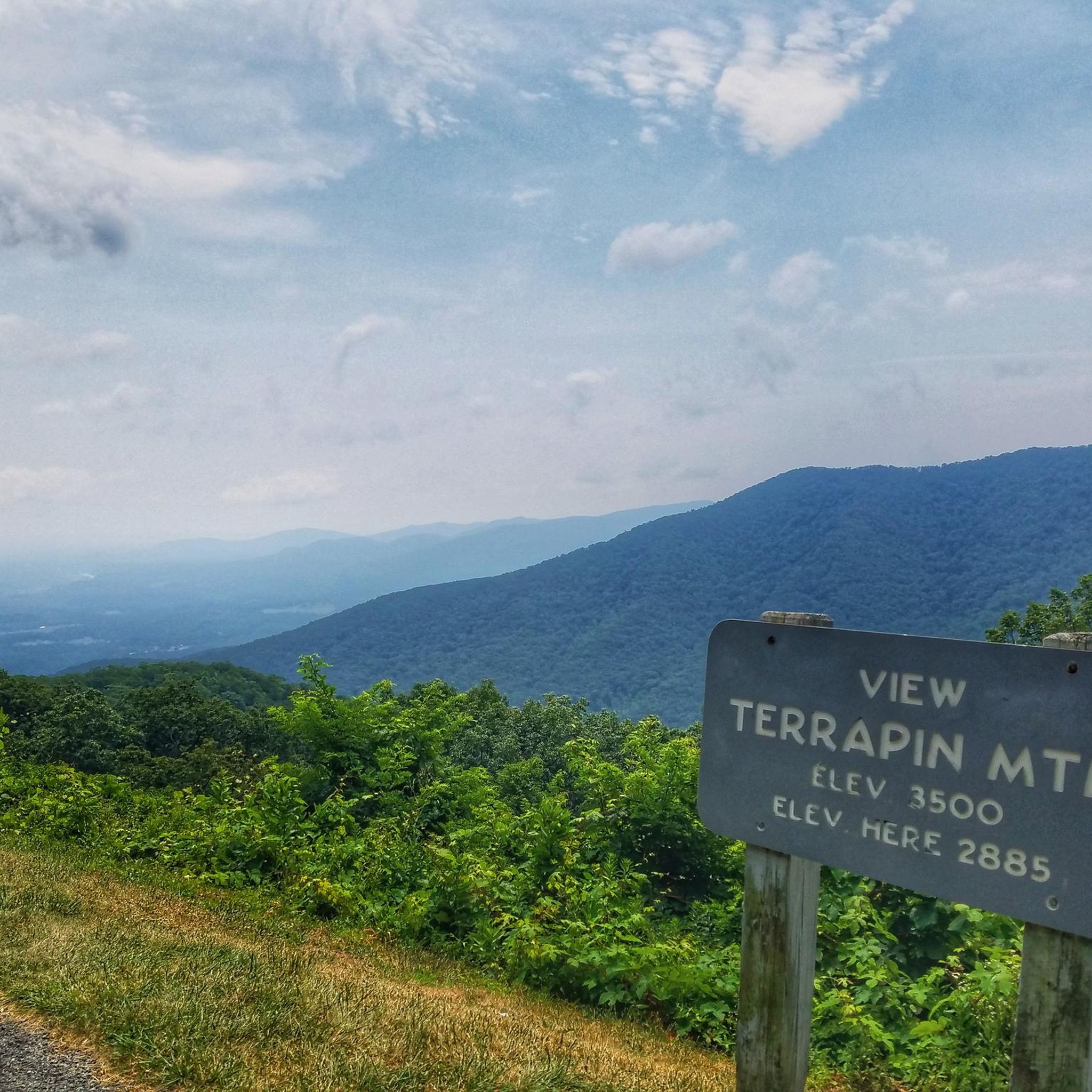
The Terrapin Mountain Overlook is located at Milepost 72.6 on the Blue Ridge Parkway and offers views of Terrapin Mountain, which runs parallel to the parkway. This gives you a view of the spine from the face-side. There are a lot of overlooks on the parkway in this area.
0
0
The Terrapin Mountain Overlook is located at Milepost 72.6 on the Blue Ridge Parkway and offers views of Terrapin Mountain, which runs parallel to the parkway. This gives you a view of the spine from the face-side. There are a lot of overlooks on the parkway in this area.
0
0
At 3,145 feet, Onion Mountain Overlook towers over the foothill peaks it views over. It's located at Milepost 79.7 on the Blue Ridge Parkway and attracts a lot of visitors every day due to its easy access and picnic areas (and ample parking).
0
0
The Thunder Ridge Overlook (situated at Milepost 74 on the Blue Ridge Parkway) peers over the Arnold Valley. The overlook also offers views to the south of Thunder Ridge, which the Appalachian Trail traverses on its way towards the state of North Carolina.
0
0
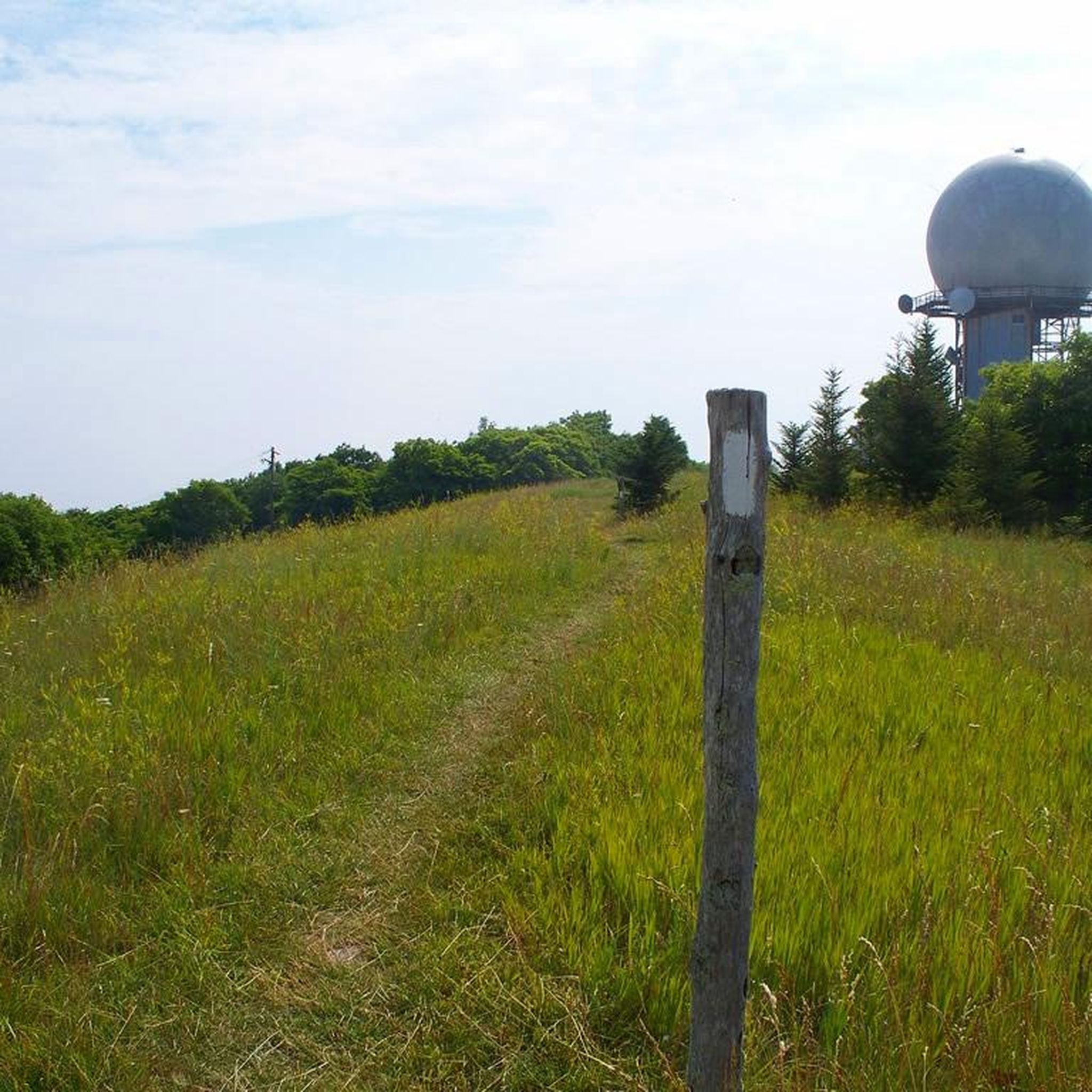
Apple Orchard Mountain is the highest mountain in the county at 4,222 feet. The peak is situated in Jefferson National Forest and sits right on the Appalachian Trail. Even though it is named Apple Orchard Mountain, the peak actually doesn't boast a single apple; it gets its name from the trees on the hillside that resemble apple trees.
1
0
The Cornelius Creek Trail is commonly combined with the Apple Orchard Falls Trail to make a loop. The trail follows Cornelius Creek pretty much the entire time and jumps back and forth over the water. This is considered one of the most beautiful trails in the area and has a few smaller trailside waterfalls of its own.
0
0
Many people hiking to Apple Orchard Falls report that the creeks and streams along the trails are as enchanting as the falls, themselves. That being said, Apple Orchard Falls are one of the highlights in this area of Virginia. The falls are towering and are stronger after a recent rainfall. There are a few different trails that access the falls, but they can sometimes be difficult to follow, so take a map and pay attention to signs on the trail.
0
0
Frequently Asked Questions
Are there any easy or beginner-friendly running trails in Thunder Ridge Wilderness?
Thunder Ridge Wilderness is known for its challenging terrain. All the running routes listed in this guide are rated as difficult, featuring significant elevation changes and requiring a good level of fitness. There are no easy or moderate trails available in this specific guide.
What is the typical length of running routes in Thunder Ridge Wilderness?
The running routes in Thunder Ridge Wilderness vary in length, generally ranging from approximately 9.5 miles (15 km) to nearly 20 miles (32 km). For example, the Terrapin Mountain loop from Terrapin Mountain is 9.5 miles, while the Apple Orchard Mountain loop from Suck Mountain extends to 19.7 miles.
Are the running trails in Thunder Ridge Wilderness suitable for dogs?
Thunder Ridge Wilderness is generally dog-friendly, but it's crucial to keep your dog on a leash at all times to protect wildlife and ensure the safety of other trail users. Always pack out waste and be aware of the challenging terrain, which might be strenuous for some pets. Check specific trail regulations before you go.
What kind of wildlife might I encounter while running in Thunder Ridge Wilderness?
As a wilderness area, Thunder Ridge is home to diverse wildlife. Runners might encounter white-tailed deer, black bears, various bird species, and smaller mammals. It's advisable to carry bear spray, make noise on the trails, and store food properly to avoid attracting animals. Always maintain a respectful distance from any wildlife you encounter.
Are there many loop running trails available in Thunder Ridge Wilderness?
Yes, many of the running routes in Thunder Ridge Wilderness are designed as loops, offering varied scenery without retracing your steps. Examples include the Cornelius Creek Trail – Apple Orchard Falls loop from Onion Mountain and the Terrapin Mountain loop from Flint Stone Mountain.
What are the best seasons for running in Thunder Ridge Wilderness?
Spring and fall are generally considered the best seasons for running in Thunder Ridge Wilderness. The temperatures are milder, and the foliage offers beautiful scenery. Summer can be hot and humid, while winter brings cold temperatures, ice, and snow, making trails more challenging and potentially hazardous. Always check weather and trail conditions before heading out.
Is public transport available to access the running trails in Thunder Ridge Wilderness?
Public transport options directly to the trailheads within Thunder Ridge Wilderness are very limited or non-existent due to its remote nature. Access is primarily by private vehicle. Runners typically drive to designated trailheads or parking areas to begin their routes.
Where can I find parking for the running routes in Thunder Ridge Wilderness?
Parking is typically available at designated trailheads. Specific parking information, including directions and any potential fees, is usually detailed on the individual route pages on komoot. Always check the route details for the most accurate parking guidance before your run.
Are there any cafes or amenities near the running routes in Thunder Ridge Wilderness?
Thunder Ridge Wilderness is a remote area, and amenities like cafes or shops are not typically found directly along or at the trailheads. It's essential to be self-sufficient and carry all necessary supplies, including water and snacks. You'll find services in nearby towns outside the wilderness area.
What are the typical trail conditions for running in Thunder Ridge Wilderness?
The trails in Thunder Ridge Wilderness are characterized by natural surfaces, including dirt, rocks, and roots. Due to significant elevation changes, runners can expect steep ascents and descents. Conditions can vary with weather, becoming muddy after rain or icy in winter. Appropriate trail running footwear is highly recommended.
How many running routes are featured in this guide for Thunder Ridge Wilderness?
This guide features a selection of 9 highly-rated running routes in Thunder Ridge Wilderness, all categorized as difficult due to the challenging terrain and significant elevation gains.
What makes the running experience in Thunder Ridge Wilderness unique?
The running experience in Thunder Ridge Wilderness is defined by its challenging ascents, dense forested paths, and ridge-top running. It offers a demanding workout amidst rugged natural beauty, making it particularly appealing to experienced runners seeking a rigorous and immersive outdoor adventure.

Get inspired with the komoot mobile app


Explore more
Browse the best Running Trails & Routes in other regions.
