The best road cycling routes in Mark O. Hatfield Wilderness
4.9
(6)
273
riders
14
rides
Road cycling routes in Mark O. Hatfield Wilderness traverse a diverse landscape within the Columbia River Gorge National Scenic Area. The region features a significant elevation range, from near the Columbia River to almost 5,000 feet at Mount Defiance, creating varied terrain. Road cyclists can experience routes along the Columbia River, characterized by towering basalt cliffs and views of waterways. Lower elevations feature old-growth Douglas-fir and hemlock forests, while higher areas offer forested plateaus and ridges.
Best road cycling routes…
Last updated: October 2, 2026
20
riders
Easy road ride. Great for any fitness level. Mostly well-paved surfaces and easy to ride.
18
riders
Easy road ride. Great for any fitness level. Mostly well-paved surfaces and easy to ride.

8
riders
162km
08:19
2,410m
2,410m
Hard road ride. Very good fitness required. Mostly well-paved surfaces and easy to ride.
8
riders
132km
06:58
1,960m
1,960m
Hard road ride. Very good fitness required. Mostly well-paved surfaces and easy to ride.
37
riders
72.7km
04:02
1,210m
1,210m
Cycle the Historic Columbia River Highway State Trail, a difficult 45.2-mile route with 3986 feet of elevation gain and stunning Gorge views
Get access to more routes and recommendations from other explorers.
Already have an account?
Our route recommendations are based on thousands of hikes, rides, and runs completed by other people on komoot.
Start today with a free account
Your next adventure awaits.
Popular around Mark O. Hatfield Wilderness
Tips from the Community

Here's a perfect spot to take a break, park your bike, and walk up the trail for an excellent view of both Lower and Upper Multnomah Falls.
1
0

The Historic Columbia River Highway State Trail consists of a few sections of path connected via parks and city streets. This section is a continuous paved path with access to a number of other trails branching off from the main trail once entering Viento State Park and Starvation Creek State Park.
0
0

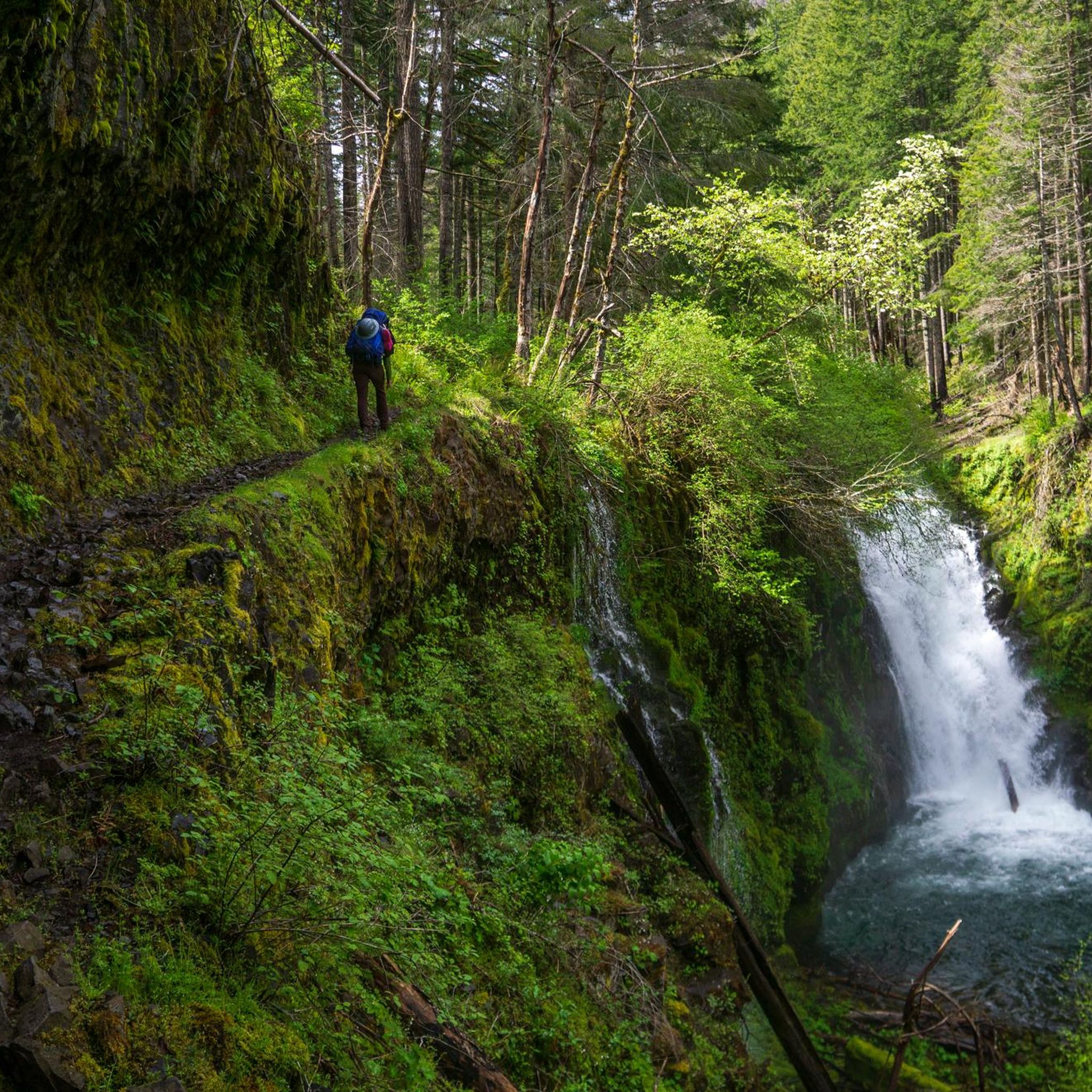
Mt Defiance Trailhead is another hop off point to see a waterfall. Here bikers can walk their bike 200 feet south to see Hole in the Wall Falls, or Lancaster Falls just a little bit east from Hole in the Wall. The trail is named after Mt Defiance, which at 4,960 feet tall, is the highest point in the Columbia Gorge.
0
0
Starvation Creek State Park can be easily overlooked by tourists. It is situated at the base of the steep walls of the Columbia Gorge. Starvation Creek State Park's most popular spot is only 100 feet north from the staircase; it's called Starvation Creek Waterfall; and from the trailhead, it's at the end of a boardwalk, 50 feet from the parking area. Picnic tables feature views of the falls; it's a great place to cool down on a hot day and a perfect spot to eat a packed lunch.
0
0
The Wyeth State Park area has restrooms, a picnic area, and a campground with 13 individual sites, three group sites, and a 24-hour camp host. This is also the trailhead for the Wyeth Trail, which soon splits into the Gorge Trail.
0
0
The Historic Columbia River Highway State Trail consists of a few sections of path connected via parks and city streets. This section is a continuous paved path with access to a number of other trails branching off from the main trail once entering Viento State Park and Starvation Creek State Park.
0
0
With mountain, waterfall, and forest trails, Starvation Creek State Park is a popular spot for hiking and trail running. The paved Historic Columbia River Highway State Trail passes by the State Park headquarters and provides access to a number of the hiking trails on the property.
0
0
John B. Yeon has parking and the trailhead for hikes to two more low-key (but still beautiful) waterfalls in the Columbia River Gorge. These are the Elowah Falls and McCord Creek Falls. Its a good turnaround spot for riders headed west out of hood river along the Historic Columbia River Highway State Trail, wanting to keep the ride on the shorter side.
1
0
Frequently Asked Questions
How many road cycling routes are available in Mark O. Hatfield Wilderness?
There are 13 road cycling routes available in the Mark O. Hatfield Wilderness region, catering to various skill levels. These include 4 easy routes, 5 moderate routes, and 4 difficult routes, offering diverse experiences within the Columbia River Gorge National Scenic Area.
What is the best time of year for road cycling in the Mark O. Hatfield Wilderness?
The best time for road cycling in the Mark O. Hatfield Wilderness and surrounding Columbia River Gorge area is generally from spring through fall. During these seasons, you'll experience more favorable weather conditions, allowing you to fully enjoy the scenic views and varied terrain without the challenges of winter conditions.
Are there road cycling routes suitable for beginners or families in the Mark O. Hatfield Wilderness?
Yes, the region offers several easy road cycling routes perfect for beginners or families. An excellent option is the Mt. Defiance Trailhead – Starvation Creek State Park loop from Wyeth State Park, an easy 11.8-mile path that connects trailheads and state parks with scenic views. Another family-friendly choice is the Starvation Creek State Park – Wyeth State Park loop from Viento State Park, an 11.4-mile easy loop connecting several state parks along the Columbia River.
Are there challenging road cycling routes for experienced riders in the Mark O. Hatfield Wilderness?
For experienced riders seeking a challenge, the Mark O. Hatfield Wilderness region offers routes with significant elevation changes. A notable option is the Historic Columbia River Highway State Trail, which can be a demanding ride depending on the segment chosen. This route, spanning over 45 miles in some sections, features considerable climbs and descents, providing a rigorous workout amidst stunning gorge scenery.
What kind of views can I expect while road cycling in the Mark O. Hatfield Wilderness?
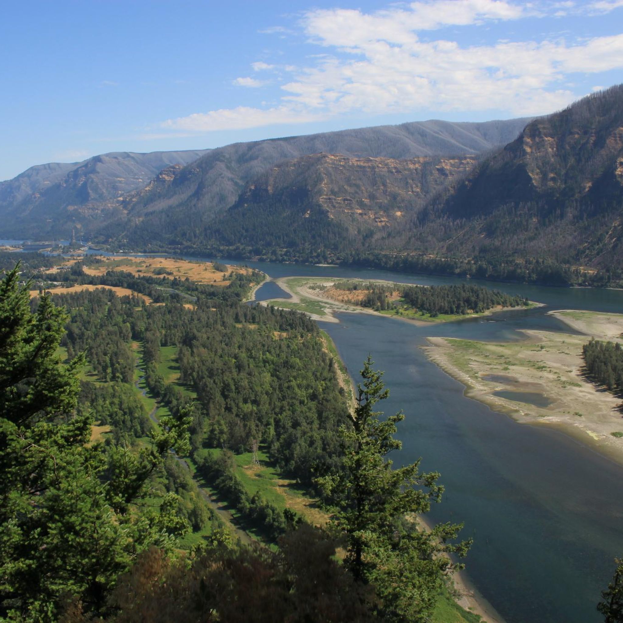
Road cycling in this region offers dramatic views of the Columbia River Gorge, towering basalt cliffs, and lush old-growth forests. Routes often follow the Columbia River, providing panoramic vistas of the waterway. As you ascend, you might encounter forested plateaus and ridges with expansive views of the Cascade Range. The Historic Columbia River Highway State Trail, for example, is renowned for its scenic beauty and geological formations.
Are there any loop road cycling routes in the Mark O. Hatfield Wilderness region?
Yes, there are several loop road cycling routes available. These circular paths allow you to start and end at the same point, offering convenient exploration. Examples include the Starvation Creek State Park – Wyeth State Park loop from Viento State Park and the Mt. Defiance Trailhead – Starvation Creek State Park loop from Wyeth State Park, both providing scenic circular rides along the Columbia River.
What natural attractions can I see along the road cycling routes in the Mark O. Hatfield Wilderness area?
While road cycling, you'll be in close proximity to numerous natural attractions, especially waterfalls and viewpoints. You might encounter stunning cascades like Wahclella Falls, Elowah Falls and Upper McCord Creek Falls, or even the unique Tunnel Falls (though this is typically accessed via hiking trails). Many routes offer glimpses of the dramatic Columbia River Gorge topography and old-growth forests.
Is parking available for road cyclists near the routes?
Yes, parking is generally available at various access points and state parks along the road cycling routes in the Mark O. Hatfield Wilderness region. For instance, the "Senator Mark O. Hatfield West Trailhead" near Hood River serves as an access point for the Historic Columbia River Highway State Trail, and state parks like Viento State Park, Wyeth State Park, and Starvation Creek State Park often provide parking facilities for visitors.
Are permits required for road cycling in Mark O. Hatfield Wilderness?
Road cycling in the Mark O. Hatfield Wilderness region, particularly on paved trails like the Historic Columbia River Highway State Trail, typically does not require special permits. However, it's always advisable to check the latest regulations for specific state parks or trailheads you plan to visit, as some may require a parking pass (like the Oregon State Parks Day-Use Parking Permit) or have specific rules for usage. For official information, you can consult the Oregon State Parks website.
What do other road cyclists say about the routes in Mark O. Hatfield Wilderness?
The road cycling routes in the Mark O. Hatfield Wilderness region are highly rated by the komoot community, with an average score of 4.9 stars from more than 5 reviews. Cyclists often praise the dramatic Columbia River Gorge scenery, the well-maintained paved paths, and the variety of routes suitable for different skill levels, from easy loops to more challenging climbs.
Are there cafes or places to stop for refreshments along the road cycling routes?
While the wilderness itself is pristine, the surrounding Columbia River Gorge area, especially towns like Hood River and Mosier, offers various cafes and refreshment stops. Many road cycling routes, particularly segments of the Historic Columbia River Highway State Trail, pass through or near these communities, providing convenient opportunities to refuel and relax.
What is the longest road cycling route in the Mark O. Hatfield Wilderness area?
One of the longest road cycling routes in the region is a segment of the Historic Columbia River Highway State Trail, which can extend over 45 miles (72.7 km). This route leads through the Columbia River Gorge and can take approximately 4 hours to complete, offering an extensive ride with varied terrain and stunning views.
Most popular routes in Mark O. Hatfield Wilderness
Most popular attractions in Mark O. Hatfield Wilderness

Get inspired with the komoot mobile app


Explore more
Browse the best Road cycling routes in other regions.
