The best running trails in Mount Rainier Wilderness
61
runners
6
runs
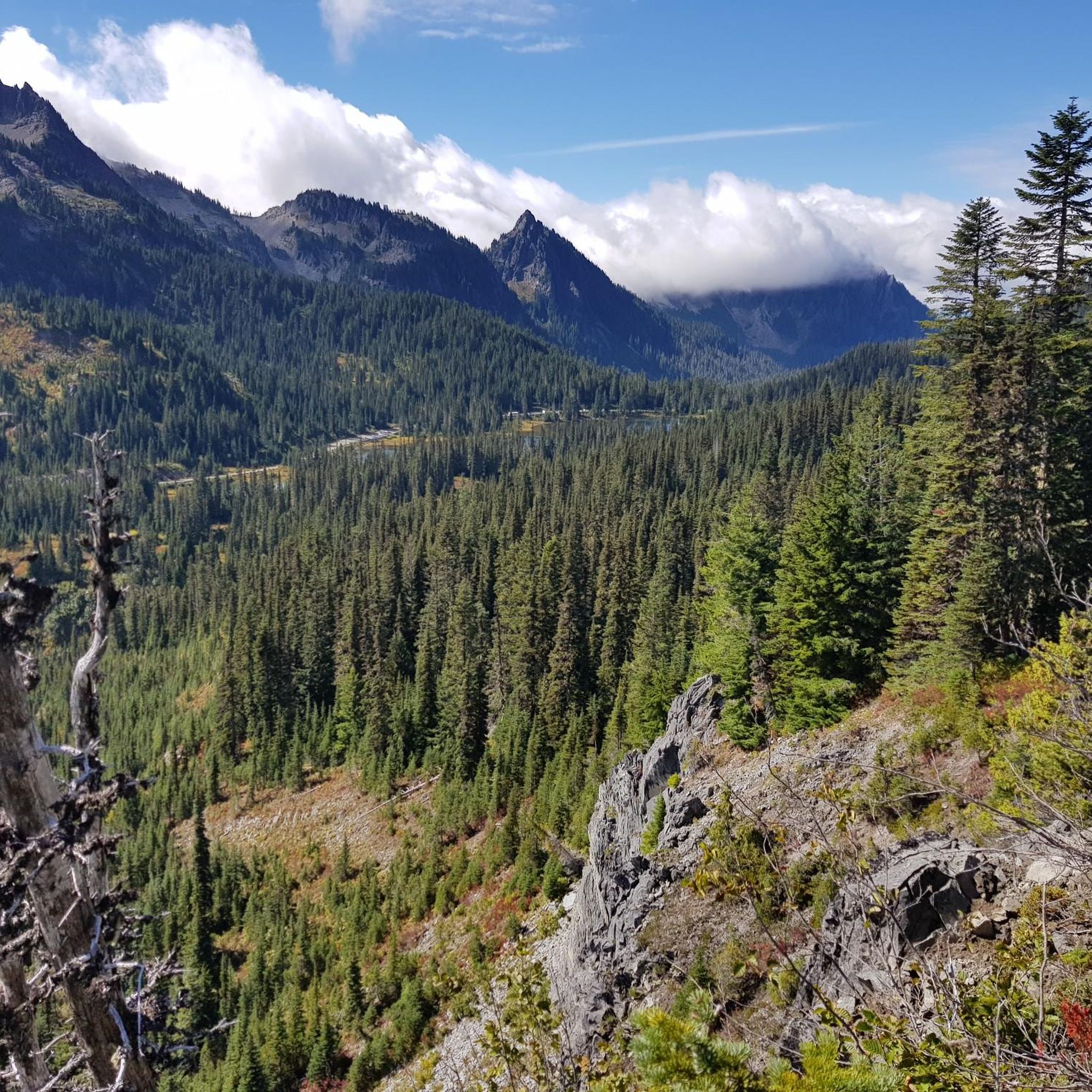
Jogging routes in Mount Rainier Wilderness traverse a landscape dominated by the iconic stratovolcano, Mount Rainier, surrounded by extensive subalpine meadows and dense old-growth forests. The terrain features significant elevation changes, with numerous valleys carved by glaciers and rivers. Runners can expect a mix of challenging ascents and descents, often on well-maintained trails that wind through varied ecosystems. This region is characterized by its rugged mountainous environment, alpine lakes, and abundant waterfalls.
Best jogging routes in Mount Rainier Wilderness
- The…
Last updated: July 9, 2026
21
runners
43.0km
05:54
1,590m
1,590m
Hard run. Very good fitness required. Mostly paved surfaces. Suitable for all skill levels.
18
runners
26.1km
04:05
1,360m
1,360m
Hard run. Very good fitness required. Mostly paved surfaces. Suitable for all skill levels.

Sign up for free
6
runners
39.0km
05:40
1,550m
1,550m
Hard run. Very good fitness required. Mostly paved surfaces. Suitable for all skill levels.
6
runners
34.9km
05:18
1,830m
1,830m
Hard run. Very good fitness required. Mostly paved surfaces. Suitable for all skill levels.
8
runners
24.3km
03:35
1,070m
1,070m
Hard run. Very good fitness required. Mostly paved surfaces. Suitable for all skill levels.
Our route recommendations are based on thousands of hikes, rides, and runs completed by other people on komoot.
Start today with a free account
Your next adventure awaits.
Login or Signup
Popular around Mount Rainier Wilderness
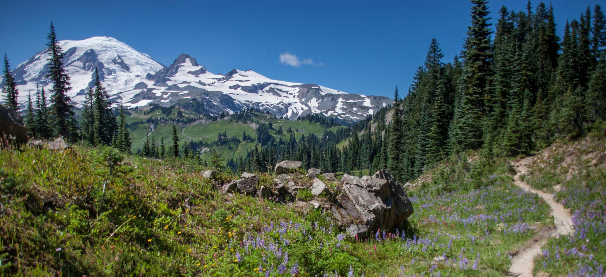
Wonderland Trail — 3-Day fastpacking through the dreamscape
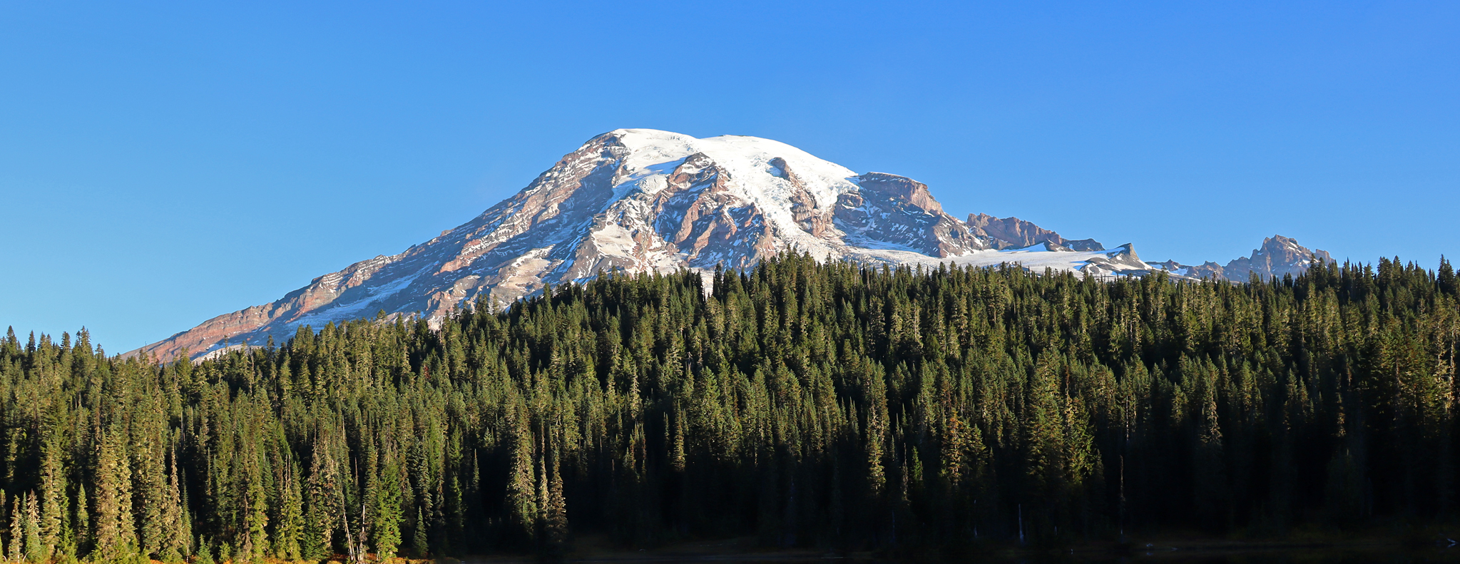
Wonderland Trail — 93 iconic miles around Mount Rainier

The pristine beauty of the US National Parks
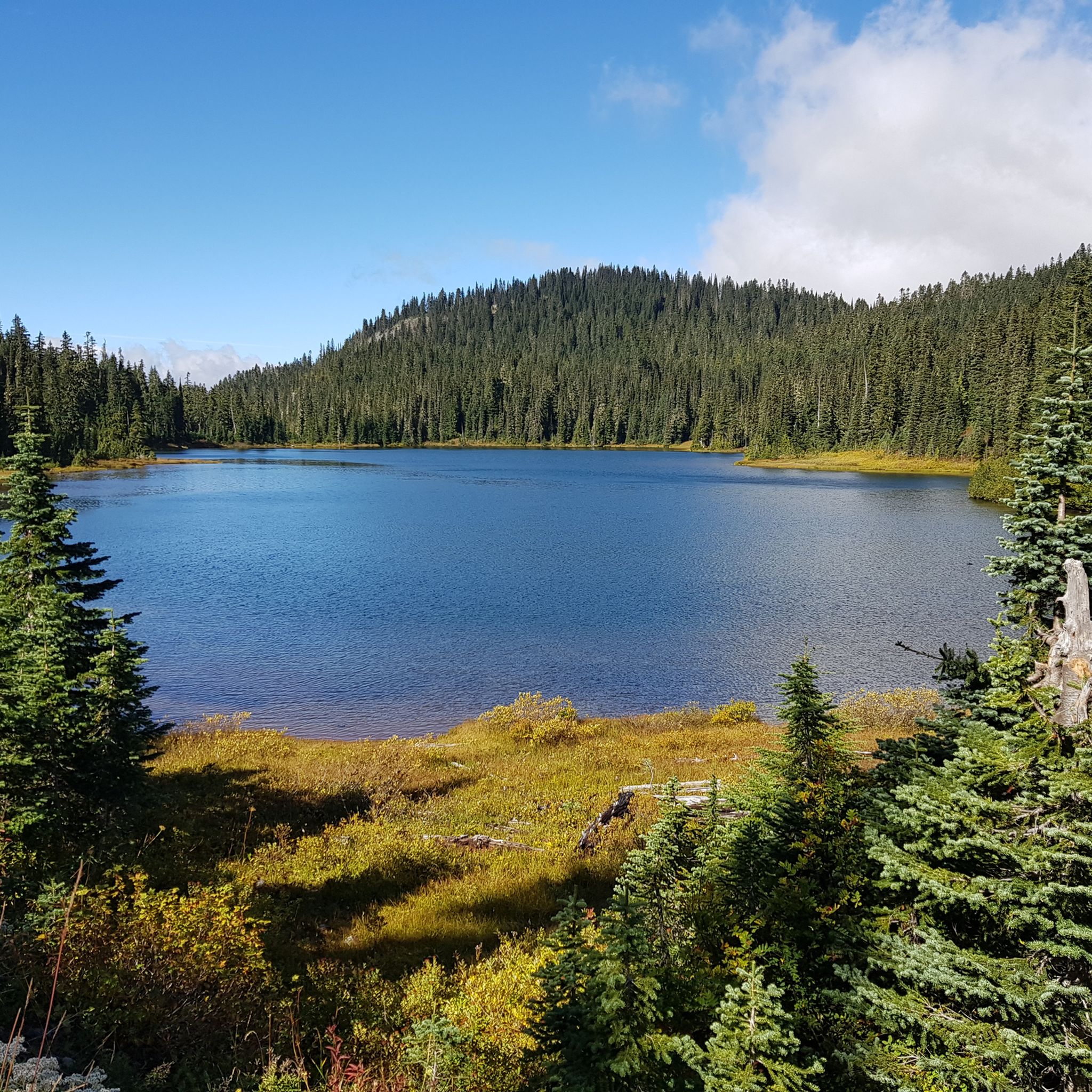
Hiking in Mount Rainier Wilderness
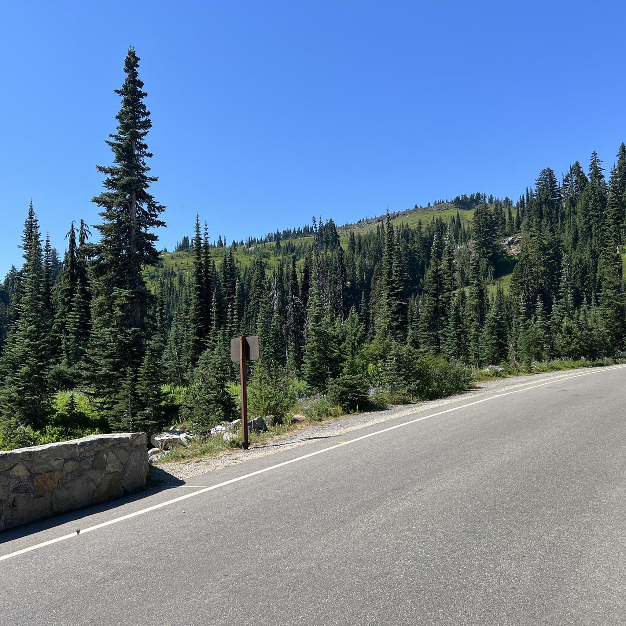
Road Cycling Routes in Mount Rainier Wilderness
Cycling in Mount Rainier Wilderness
MTB Trails in Mount Rainier Wilderness


Tips from the Community

Ipsut Falls is a quick and worthwhile detour along the Carbon River Valley, just off the Wonderland Trail near Ipsut Creek Camp. The short side trail leads to a tall, narrow waterfall tucked into lush forest. If you are running the Wonderland Trail, this is an ideal spot to pause and refill water before continuing the climb toward Carbon Glacier.
0
0
Mowich Lake is a pristine lake and a popular overnight spot with a backcountry campground that operates on a first-come, first-served basis. It can get especially busy during peak season, so avoiding those times will give you more camping options. The area offers reliable water sources and also allows boating and fishing in the lake. The campground includes composting toilets. Check current road closures, as access may be limited: https://www.nps.gov/mora/planyourvisit/road-status.htm
0
0
A short side trail near Ipsut Creek Campground leads to this striking, narrow waterfall hidden in the forest. It’s a great bonus stop when hiking or biking the Carbon River Trail, adding a scenic highlight to your ride.
0
0
A gravel trail through dense rainforest that takes you to Ipsut Creek Campground. The Carbon River Trail is mostly flat with some rough sections winding alongside Ipsut Creek. Near the end, a short trail leads to Ipsut Waterfall. Enjoy riding while listening to the birds and feeling immersed in the forest. Always check with rangers about trail conditions, as some sections have been washed out in recent years.
0
0

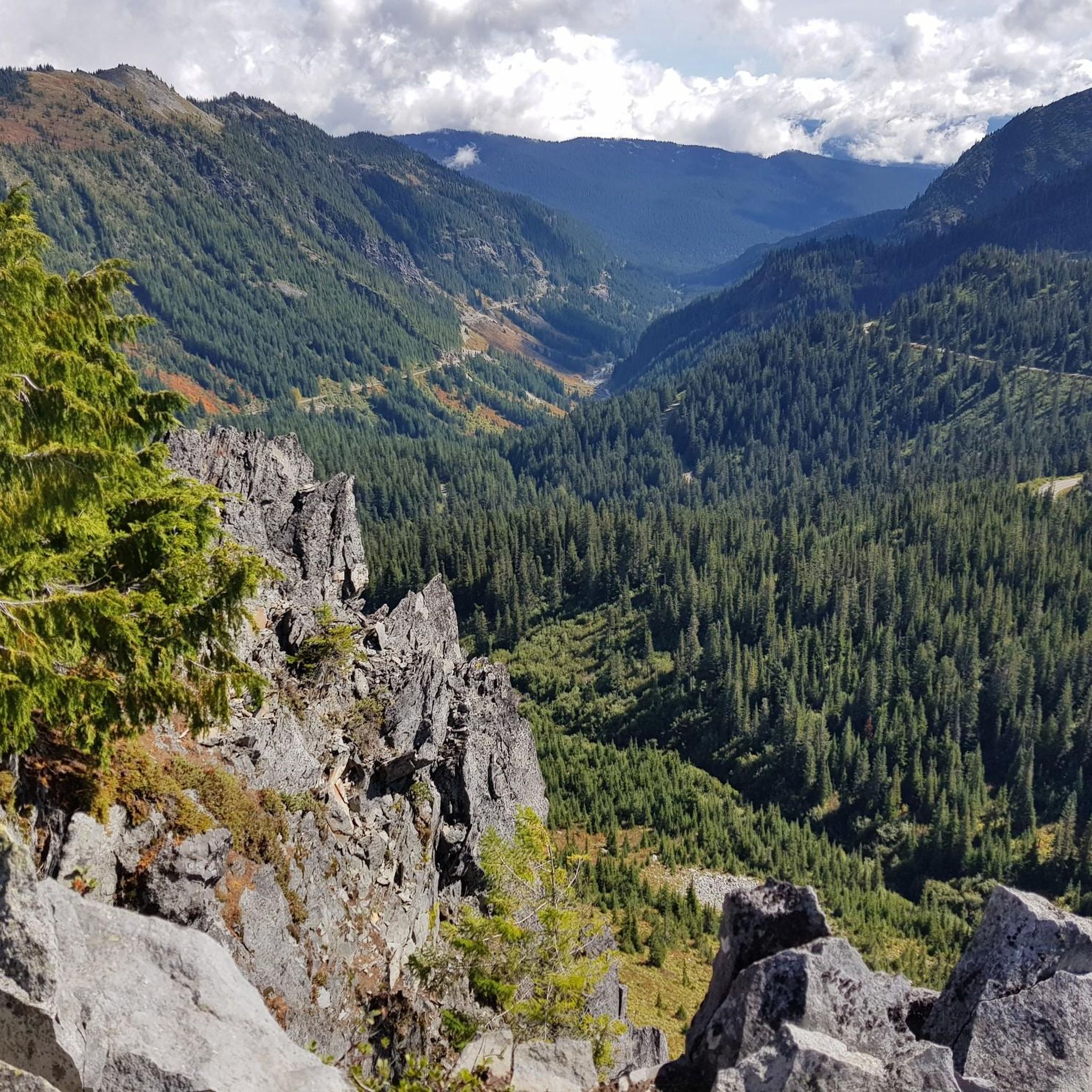
This lookout point offers nice views down into the valley, plus (on clear days) a little peep of Mount Rainier's snowy summit lurking behind the hills.
0
0
You can't see Snoquera Falls from here, but you do get great views down into the valley and, on the far side of the valley, Sun Top Lookout.
0
0
The multi-use route up this peak sports long, winding switchbacks in the forest understory, but once you burst out of the trees the views are amazing.
0
0

The Carbon River suspension bridge is a highlight of the Wonderland Trail’s northwest section—a narrow, swaying footbridge that spans the powerful, silty waters of the Carbon River, just downstream from the snout of the Carbon Glacier. Even if you’re not staying at Carbon River Camp (just across the river), the bridge is just a short walk off the main trail and absolutely worth the stop. From the middle of the bridge, you get dramatic views of the river’s braided channels, roaring with glacial melt, and a clear look up the valley toward the towering foot of the Carbon Glacier. The scale of the landscape is humbling—ice, rock, and rushing water all shaped by the slow but relentless movement of the glacier. It’s a perfect spot to pause, catch your breath, and take in one of the most dynamic, glacially sculpted scenes on the entire Wonderland Trail.
0
0
Frequently Asked Questions
How many running routes are available in Mount Rainier Wilderness?
There are 11 dedicated running routes in the Mount Rainier Wilderness area, offering a variety of experiences for trail runners. Most of these routes are considered challenging due to the rugged terrain and significant elevation changes.
Are there any easy or beginner-friendly jogging trails in Mount Rainier Wilderness?
Mount Rainier Wilderness is known for its challenging terrain. While there are no routes specifically classified as 'easy' in our selection, the region offers diverse paths. For a less strenuous option, consider the Reflection Lake loop from Faraway Rock, which is shorter at 2.8 miles (4.5 km) and features less overall elevation gain compared to other routes.
What kind of terrain can I expect on running trails in Mount Rainier Wilderness?
Runners in Mount Rainier Wilderness will encounter a landscape dominated by the iconic stratovolcano, Mount Rainier. The terrain features significant elevation changes, winding through extensive subalpine meadows and dense old-growth forests. Expect a mix of challenging ascents and descents, often on well-maintained trails that traverse rugged mountainous environments, alpine lakes, and abundant waterfalls.
Are there any loop running trails in Mount Rainier Wilderness?
Yes, many of the running routes in Mount Rainier Wilderness are loops, offering varied scenery without retracing your steps. Popular loop options include the Eagle Cliff Viewpoint – Spray Falls loop from Sweet Peak, the Mowich Lake & Camp – Ipsut Falls loop from Mowich Lake Ranger Station, and the Running loop from Longmire.
What are some notable sights or landmarks I can see along the running routes?
Mount Rainier Wilderness offers stunning natural beauty and interesting landmarks. Along various routes, you might encounter sights like the Faraway Rock Overlook, the historic Mount Fremont Fire Lookout, or the serene Mowich Lake & Camp. The Eagle Cliff Viewpoint – Spray Falls loop from Sweet Peak is particularly known for its panoramic views and waterfall sightings.
What is the typical length and duration for running trails in this region?
The running trails in Mount Rainier Wilderness vary significantly in length and duration. You can find shorter loops, such as the Reflection Lake loop from Faraway Rock at 2.8 miles (4.5 km), which takes about 35 minutes. Longer, more challenging routes like the Henskin Lake – Grubstake Peak loop from Crystal Mountain span over 21.5 miles (34.7 km) and can take over 5 hours to complete.
Are there any running routes that feature waterfalls?
Yes, the Mount Rainier Wilderness is known for its abundant waterfalls. The Eagle Cliff Viewpoint – Spray Falls loop from Sweet Peak is a prime example, offering excellent opportunities to see waterfalls along its 26.7 miles (43.0 km) path.
What do other runners say about the trails in Mount Rainier Wilderness?
Over 90 runners have used komoot to explore the varied terrain of Mount Rainier Wilderness. While specific ratings are not available, the community frequently praises the region for its challenging routes, stunning volcanic peaks, subalpine meadows, and dense forests, making it a rewarding destination for experienced trail runners.
Is it possible to find challenging trail running experiences here?
Absolutely. Mount Rainier Wilderness is renowned for its challenging trail running. Out of the 11 routes available, 10 are classified as 'difficult' due to significant elevation gains and rugged terrain. Routes like the Henskin Lake – Grubstake Peak loop from Crystal Mountain, with over 5,900 feet (1,800 meters) of elevation gain, offer a truly demanding experience.
Are there any routes that pass by alpine lakes?
Yes, several running routes in Mount Rainier Wilderness explore pristine alpine lakes. The Mowich Lake & Camp – Ipsut Falls loop from Mowich Lake Ranger Station is an excellent choice for runners looking to experience beautiful alpine lake scenery.
What should I consider when planning a winter running trip to Mount Rainier Wilderness?
Winter running in Mount Rainier Wilderness can be challenging due to snow, ice, and colder temperatures. Many trails may be inaccessible or require specialized gear like snowshoes or microspikes. Always check current weather and trail conditions with the National Park Service before heading out, and be prepared for rapidly changing mountain weather.
Most popular routes in Mount Rainier Wilderness
Most popular attractions in Mount Rainier Wilderness

Get inspired with the komoot mobile app


Explore more
Browse the best Running Trails & Routes in other regions.
