The best cycling routes in Mount Rainier Wilderness
171
riders
5
rides
Touring cycling in Mount Rainier Wilderness offers diverse routes across a landscape dominated by Mount Rainier, an active stratovolcano with 26 named glaciers. The region features a wide elevation range, from 1,600 feet to over 14,000 feet, encompassing old-growth forests, subalpine meadows, and lush river valleys. Numerous lakes, rivers, and streams, along with notable waterfalls, contribute to the varied terrain. Cyclists can expect challenging climbs and descents through these distinct environments.
Best touring cycling routes in Mount Rainier Wilderness
- The…
Last updated: June 23, 2026
47
riders
50.9km
03:37
1,060m
1,060m
If you're seeking a demanding touring bicycle adventure, the Sunrise Park Road offers a truly memorable experience. This difficult route covers 31.7 miles (50.9 km) and features a substantial elevation…
8
riders
15.9km
01:33
190m
190m
The Carbon River Trail offers a distinct touring cycling experience, guiding you through a verdant temperate rainforest alongside the Carbon River. You'll pedal past ancient old-growth trees and discover hidden…

Sign up for free
47
riders
Hard bike ride. Very good fitness required. Mostly paved surfaces. Suitable for all skill levels.
41
riders
65.2km
04:36
1,310m
1,310m
The "View of Mount Rainier – Sunrise Visitor Center loop from Silver Springs Sno-Park" offers a demanding touring cycling experience through changing landscapes, from dense forests to wide-open subalpine meadows.…
17
riders
49.4km
03:37
1,070m
1,070m
This difficult touring cycling route, the Longmire Historic District – Narada Falls loop from Twin Firs Trailhead, is a true test of endurance and a feast for the eyes. Over…
Our route recommendations are based on thousands of hikes, rides, and runs completed by other people on komoot.
Start today with a free account
Your next adventure awaits.
Login or Signup
Popular around Mount Rainier Wilderness
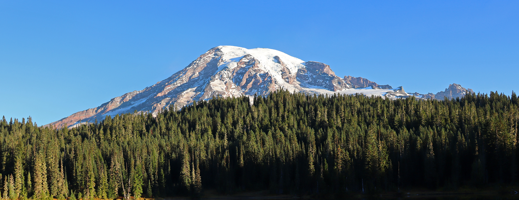
Wonderland Trail — 93 iconic miles around Mount Rainier
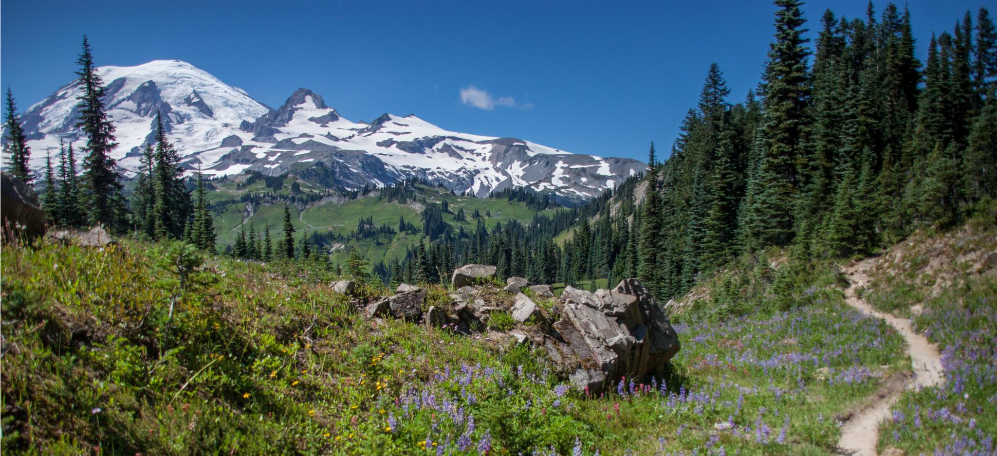
Wonderland Trail — 3-Day fastpacking through the dreamscape

The pristine beauty of the US National Parks
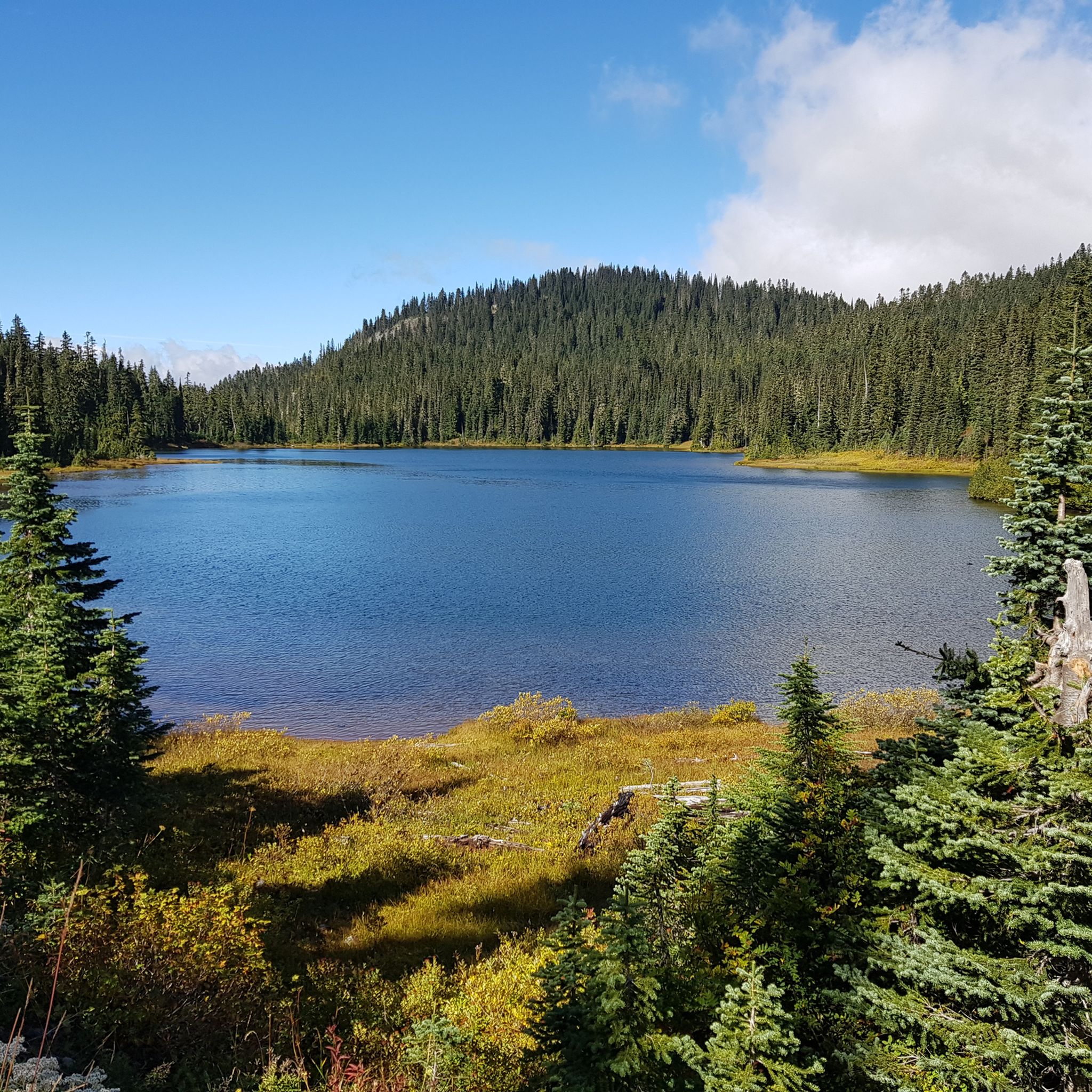
Hiking in Mount Rainier Wilderness
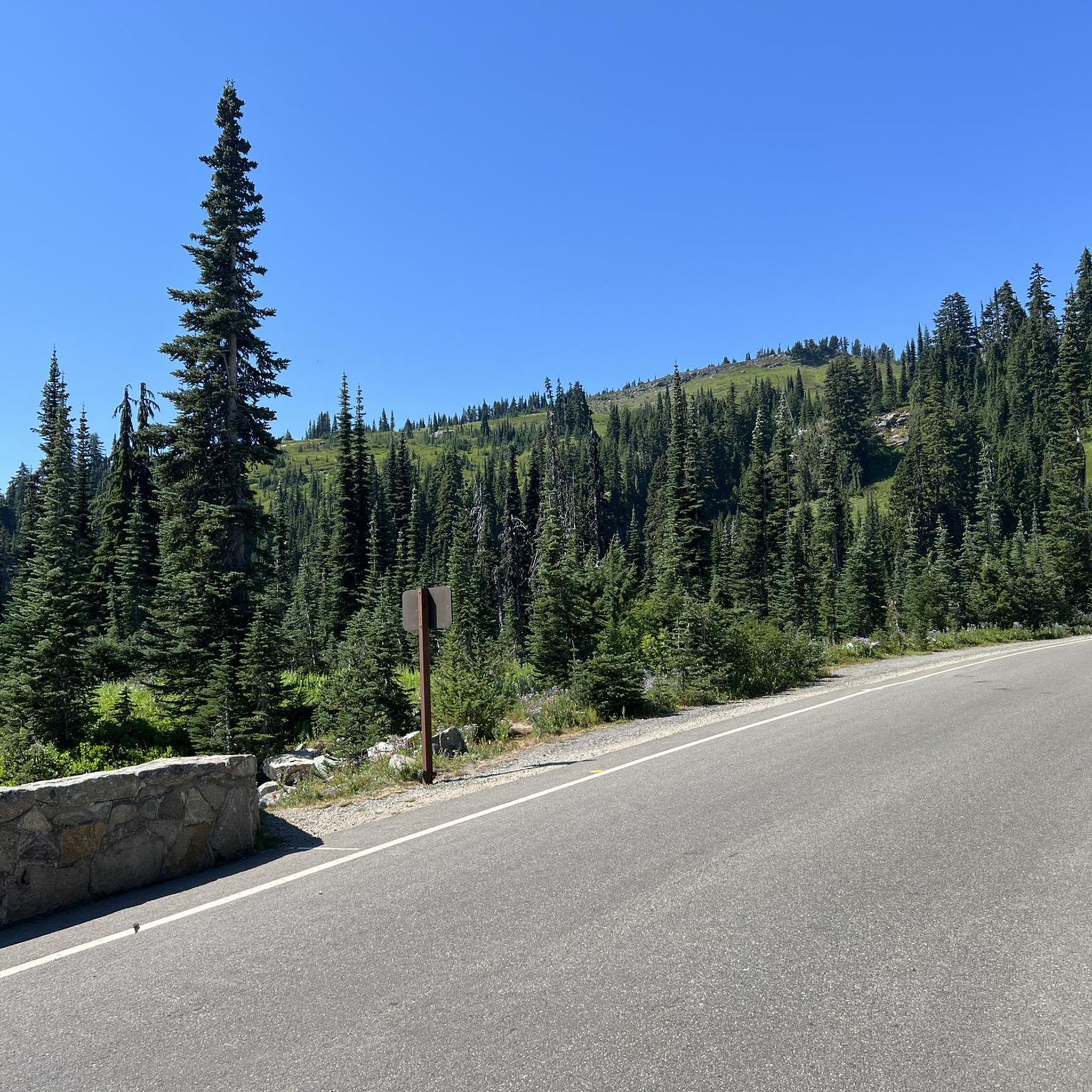
Road Cycling Routes in Mount Rainier Wilderness
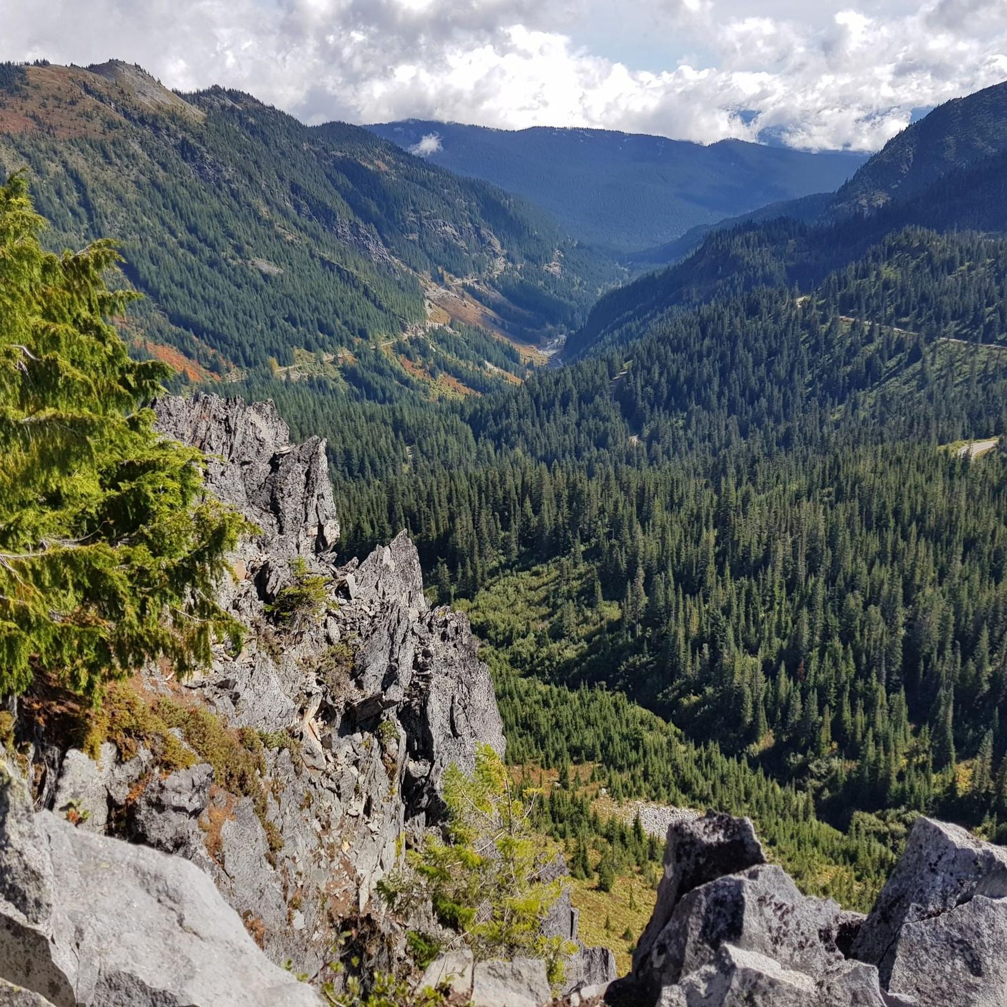
MTB Trails in Mount Rainier Wilderness
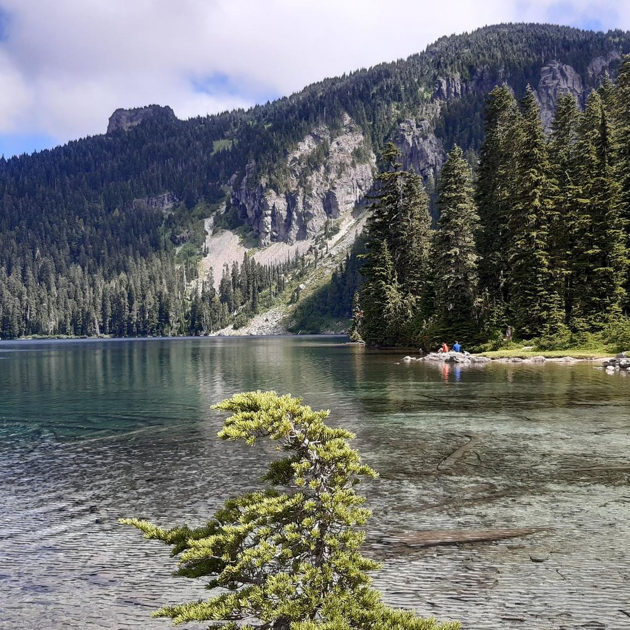
Running Trails in Mount Rainier Wilderness


Tips from the Community

Beautiful hike. Crowded. Make sure you bring water as there is no where to fill up. Not even visitor center. No restrooms. Just overstuff porta potties. Come early. Parking difficult. We got here at 310 pm and found some. But there’s a lot of people. We waiting in line to get into park 1 hour! They need a better system!
0
0

Great trail with amazing views of the surrounding mountains and Mt. Rainier.
0
0

One of the most impressive view points to see Mount Rainier. During sunrise and sunset, when there's no wind or rain, this lake right by the park road reflects the mountain in all of its majesty.
0
0

Longmire is the starting point for many Wonderland Trail adventures and home to the Wilderness Information Center, where you pick up your required permit. It is a key stop to check trail conditions, ask questions, and make any final adjustments before heading into the backcountry. The area also includes the historic 1916 park headquarters, now a small museum, along with the National Park Inn, a restaurant, and a general store.
0
0
Riding to Sunrise Visitor Center is a great challenge you can take on early in the morning to enjoy hiking some of the park’s trails and take in awesome views on the way up or down. Rangers can provide trail information and maps, and exhibits focus on the geology and natural history of the park’s northeast region.
0
0
From Sunrise Park Road you get breathtaking views of Mt. Rainier and Mt. Adams, two powerful mountains covered with a glacier blanket and surrounded by forest.
0
0
A short side trail near Ipsut Creek Campground leads to this striking, narrow waterfall hidden in the forest. It’s a great bonus stop when hiking or biking the Carbon River Trail, adding a scenic highlight to your ride.
0
0
A gravel trail through dense rainforest that takes you to Ipsut Creek Campground. The Carbon River Trail is mostly flat with some rough sections winding alongside Ipsut Creek. Near the end, a short trail leads to Ipsut Waterfall. Enjoy riding while listening to the birds and feeling immersed in the forest. Always check with rangers about trail conditions, as some sections have been washed out in recent years.
0
0
Frequently Asked Questions
How many touring cycling routes are available in Mount Rainier Wilderness?
There are 4 touring cycling routes available in Mount Rainier Wilderness, offering diverse experiences from moderate paths to challenging climbs. These routes are highly rated by the komoot community, with an average score of 5.0 stars.
What is the best time of year for touring cycling in Mount Rainier Wilderness?
September and early October are often recommended for touring cycling in Mount Rainier Wilderness. During this period, you'll typically find fewer vehicles on the roads and can enjoy vibrant fall colors. However, be aware that some park facilities may begin to reduce services in the fall.
Are e-bikes permitted on touring cycling routes in Mount Rainier Wilderness?
Yes, e-bikes are permitted in Mount Rainier Wilderness wherever traditional bicycles are allowed. This includes park roads open to motor vehicles and specific routes like the Westside Road and Carbon River Road.
Are there any moderate touring cycling routes in Mount Rainier Wilderness?
Yes, the Carbon River Trail is a moderate 9.9-mile (15.9 km) path. This route leads through a temperate rainforest and features gradual elevation changes, offering a less strenuous cycling experience compared to some of the more challenging mountain roads.
What kind of challenges can I expect on the more difficult touring cycling routes?
The more difficult touring cycling routes in Mount Rainier Wilderness are known for being steep, narrow, and winding, with significant elevation changes. You can expect challenging climbs and exhilarating descents through diverse environments, from dense forests to open alpine landscapes with breathtaking views of Mount Rainier and the surrounding ranges. Routes like Sunrise Park Road exemplify these demanding conditions.
Are there any circular touring cycling routes in Mount Rainier Wilderness?
Yes, there are circular touring cycling routes available. For example, the Sunrise Visitor Center loop from White River Campground is a 22.5-mile (36.2 km) trail that takes you through alpine scenery. Another option is the Longmire Historic District – Narada Falls loop from Twin Firs Trailhead, which offers a longer, challenging ride.
Where are bicycles generally allowed or prohibited within Mount Rainier National Park?
Bicycles are generally allowed on park roads open to motor vehicles within Mount Rainier National Park. However, they are prohibited on hiking trails. For detailed regulations and specific routes where cycling is permitted, you can consult the official National Park Service website: nps.gov/mora/planyourvisit/bicycling.htm.
What scenic viewpoints or natural features can I expect to see along the touring cycling routes?
Mount Rainier Wilderness offers spectacular scenery. Along your rides, you can expect panoramic views, alpine landscapes, old-growth forests, and lush river valleys. Notable natural features include waterfalls like Narada Falls, and stunning mountain passes such as Chinook Pass and Cayuse Pass. The Faraway Rock Overlook also provides an excellent vantage point.
What do other touring cyclists enjoy the most about touring cycling in Mount Rainier Wilderness?
The touring cycling routes in Mount Rainier Wilderness are highly rated by the komoot community, with an average score of 5.0 stars. Reviewers often praise the dramatic landscapes, the challenge of the climbs, and the immersive nature experience offered by the diverse ecosystems, from glaciated peaks to temperate rainforests.
Are there any family-friendly touring cycling options in Mount Rainier Wilderness?
While many routes in Mount Rainier Wilderness are challenging due to significant elevation changes, the Carbon River Trail offers a more moderate experience through a temperate rainforest with gradual elevation gain, which might be suitable for families seeking a less strenuous ride. Always consider the fitness levels of all participants before choosing a route.
Where can I find parking and trailheads for touring cycling routes?
Parking and trailheads for touring cycling routes are typically located at various access points within Mount Rainier National Park. For instance, the Sunrise Visitor Center loop from White River Campground starts near a campground, implying parking availability. The Longmire Historic District – Narada Falls loop from Twin Firs Trailhead also indicates a specific starting point with likely parking. It's always advisable to check the specific route details on komoot or the National Park Service website for precise parking information.
What kind of terrain will I encounter while touring cycling in Mount Rainier Wilderness?
You will encounter a wide variety of terrain, reflecting the region's diverse ecosystems and elevation range from 1,600 feet to over 14,000 feet. This includes cycling through old-growth forests, subalpine meadows, and lush river valleys. The roads are often steep, narrow, and winding, with surfaces varying from paved park roads to gravel sections on routes like the Carbon River Trail.
Most popular routes in Mount Rainier Wilderness
Most popular attractions in Mount Rainier Wilderness

Get inspired with the komoot mobile app


Explore more
Browse the best Cycling routes in other regions.
